Joshua Mountain and Point 3505 - 3.20.2018
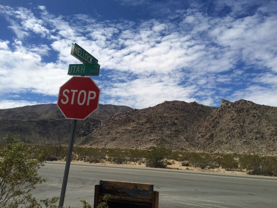
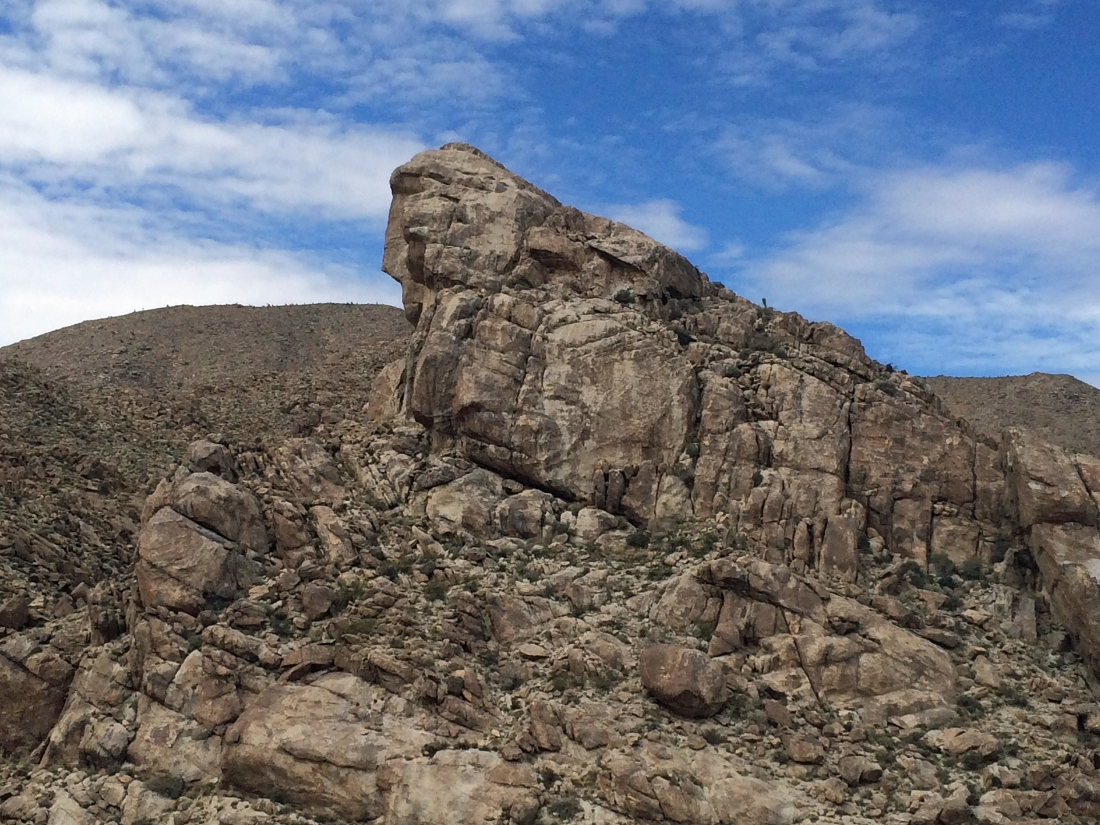
FYI... my camera would not function properly... so all photos were taken with my cell phone. After driving 2.5 miles into the park from the north entrance visitor center, I parked in a pull out at the intersection of Utah Trail and Wellock Road... my target will be the most prominent point on the right.
|

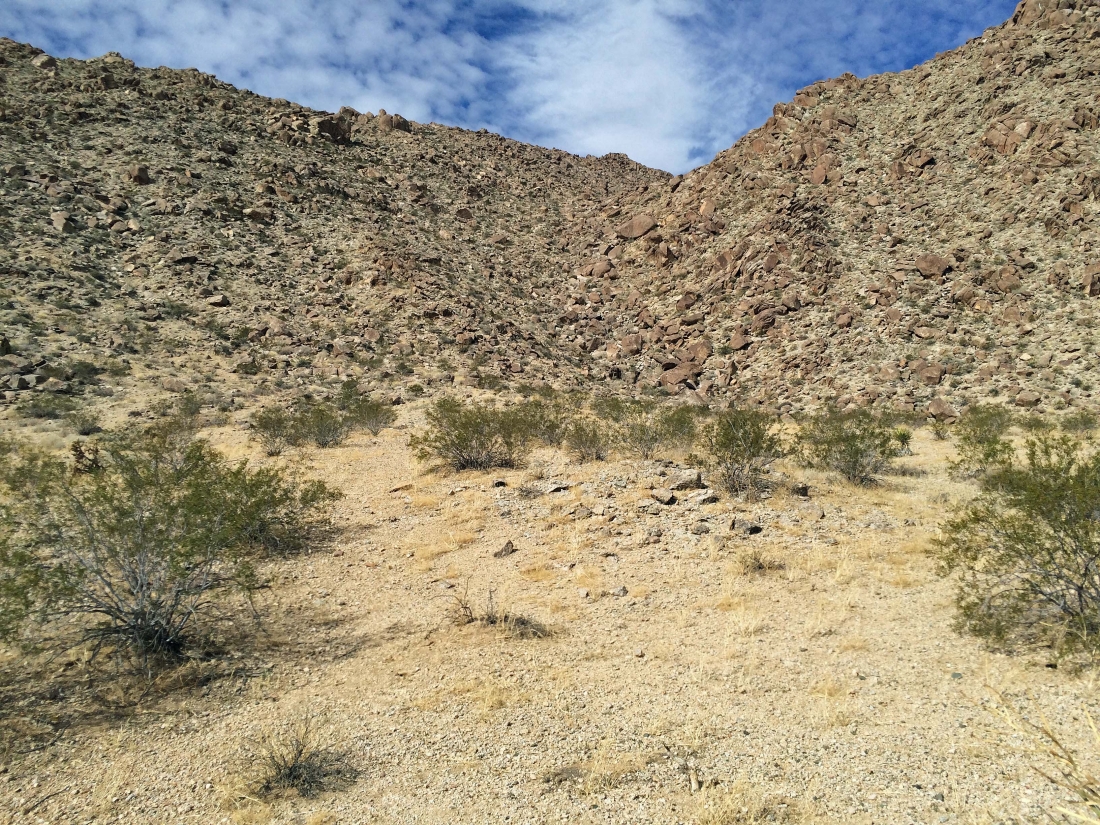
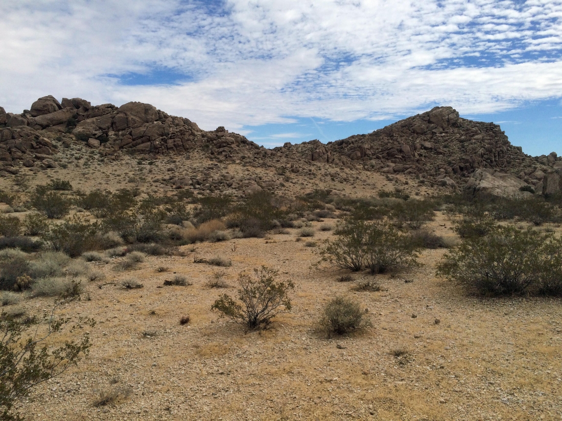
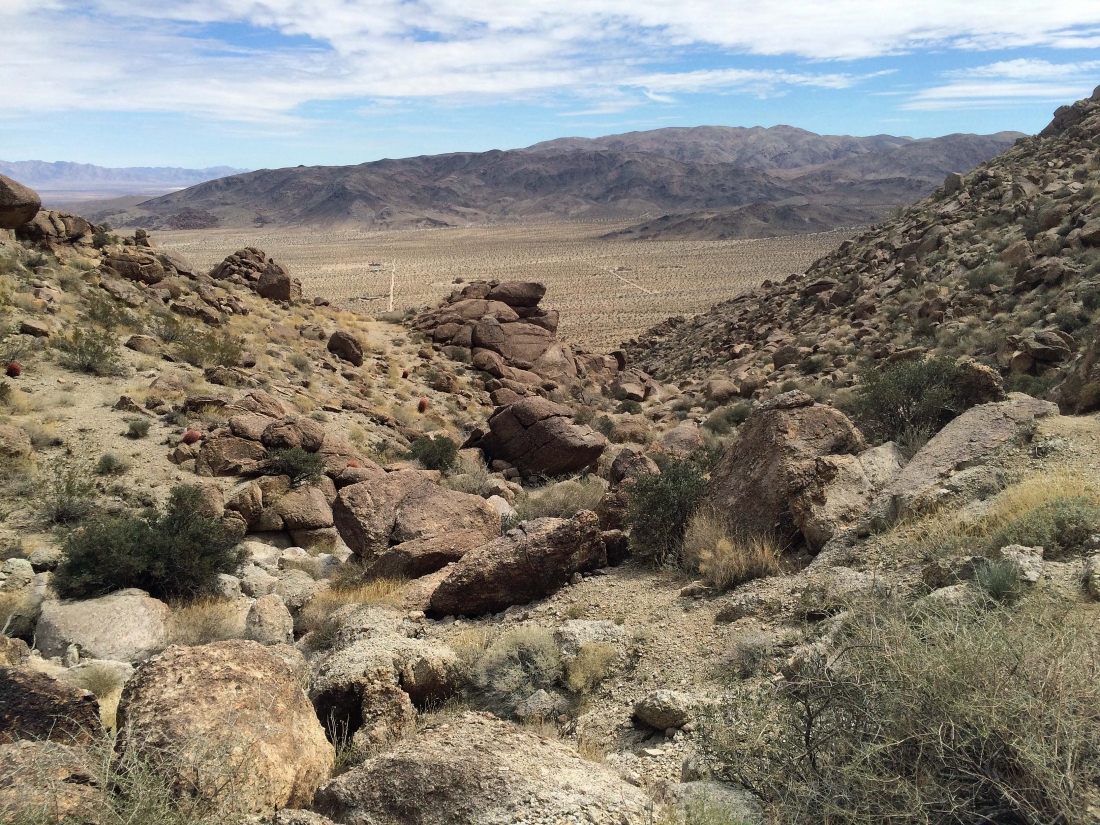
It is approximately three-quarters of a mile or so across the desert floor where I plan to head up the gully in the center of the photo.
|
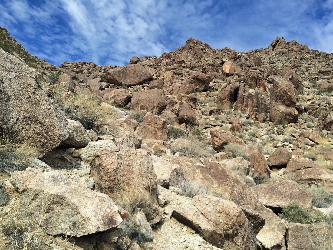
As I near the gully I found this faint path.
|
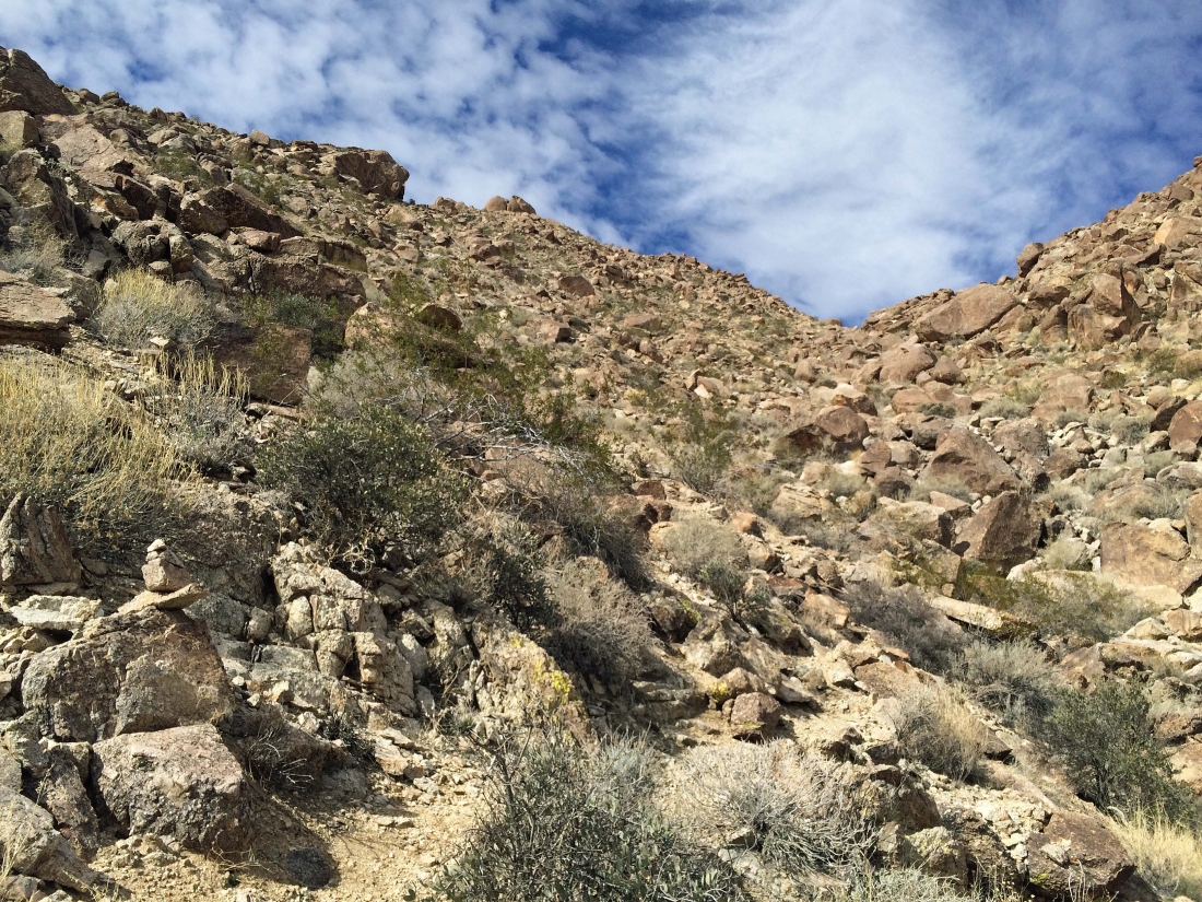
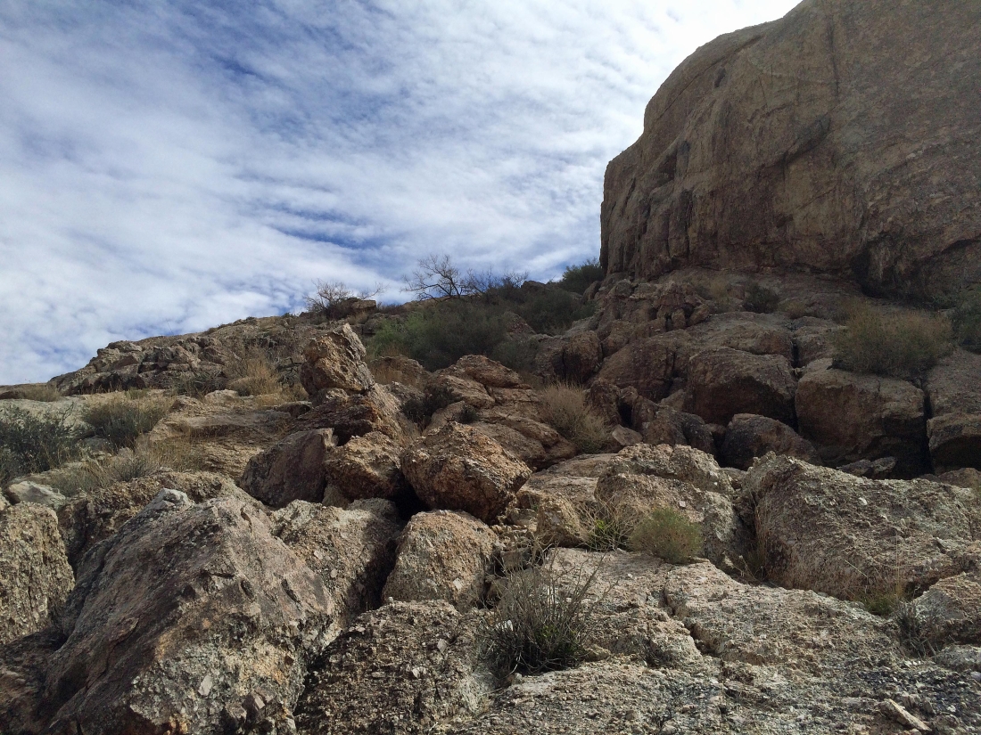
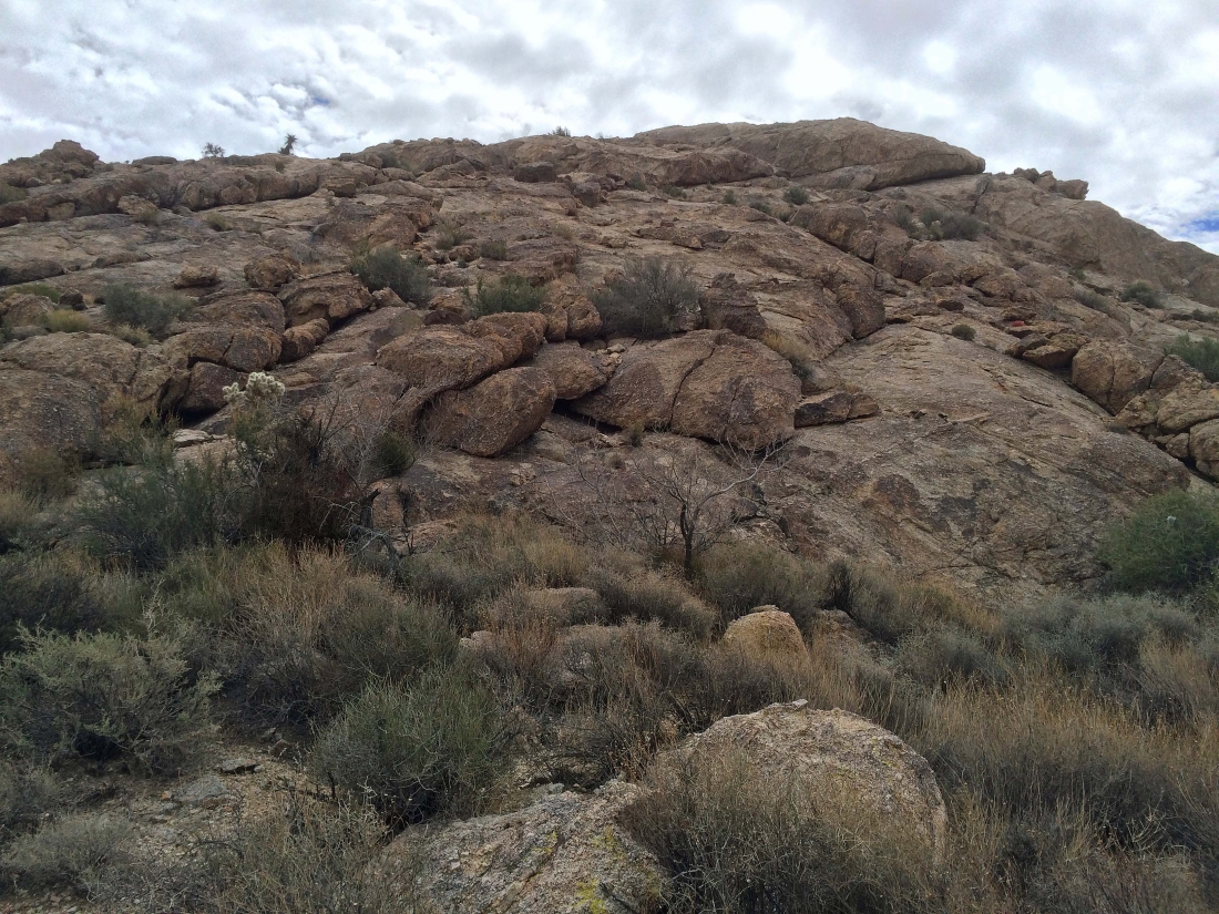
When I started up the gully I found the path well-carined like the one in the left corner of the photo.
|
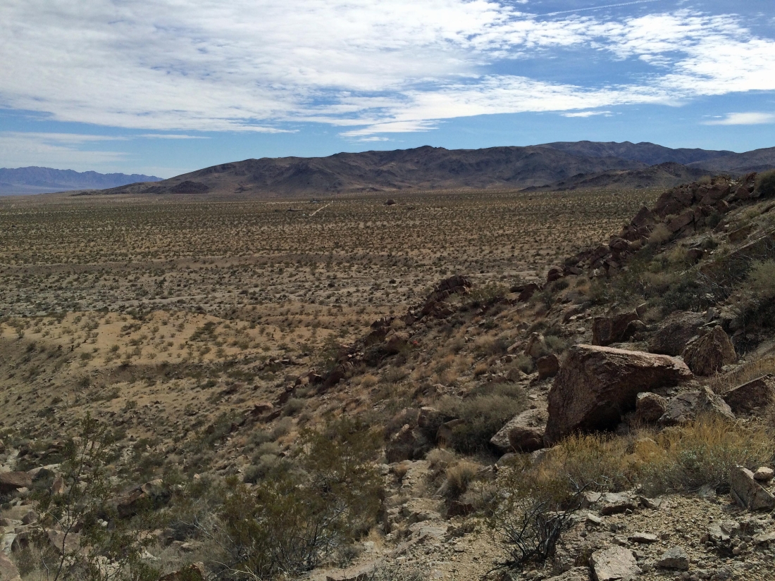
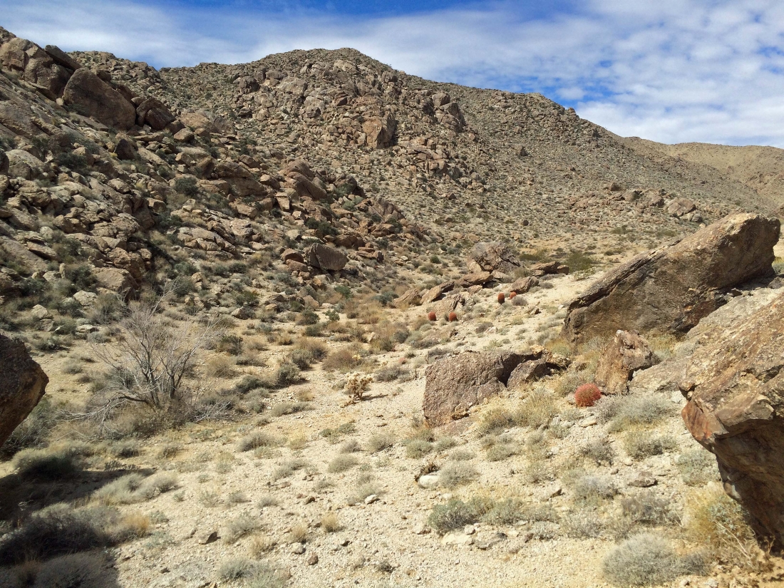
Gaining elevation in the gully... here looking back across the desert floor to where I parked next to the road entering the park... the broad mountain in the distance is Twentynine Palms Mountain.
|
Gaining elevation on the well-cairned path just to the left of the actual gully.
|
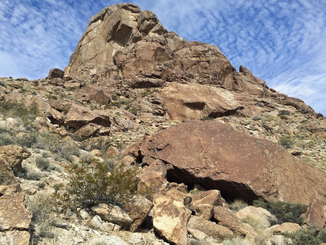
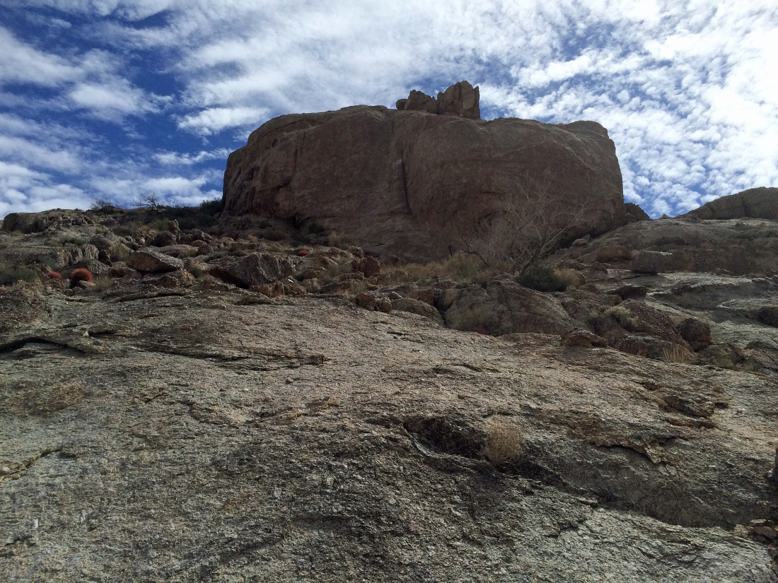
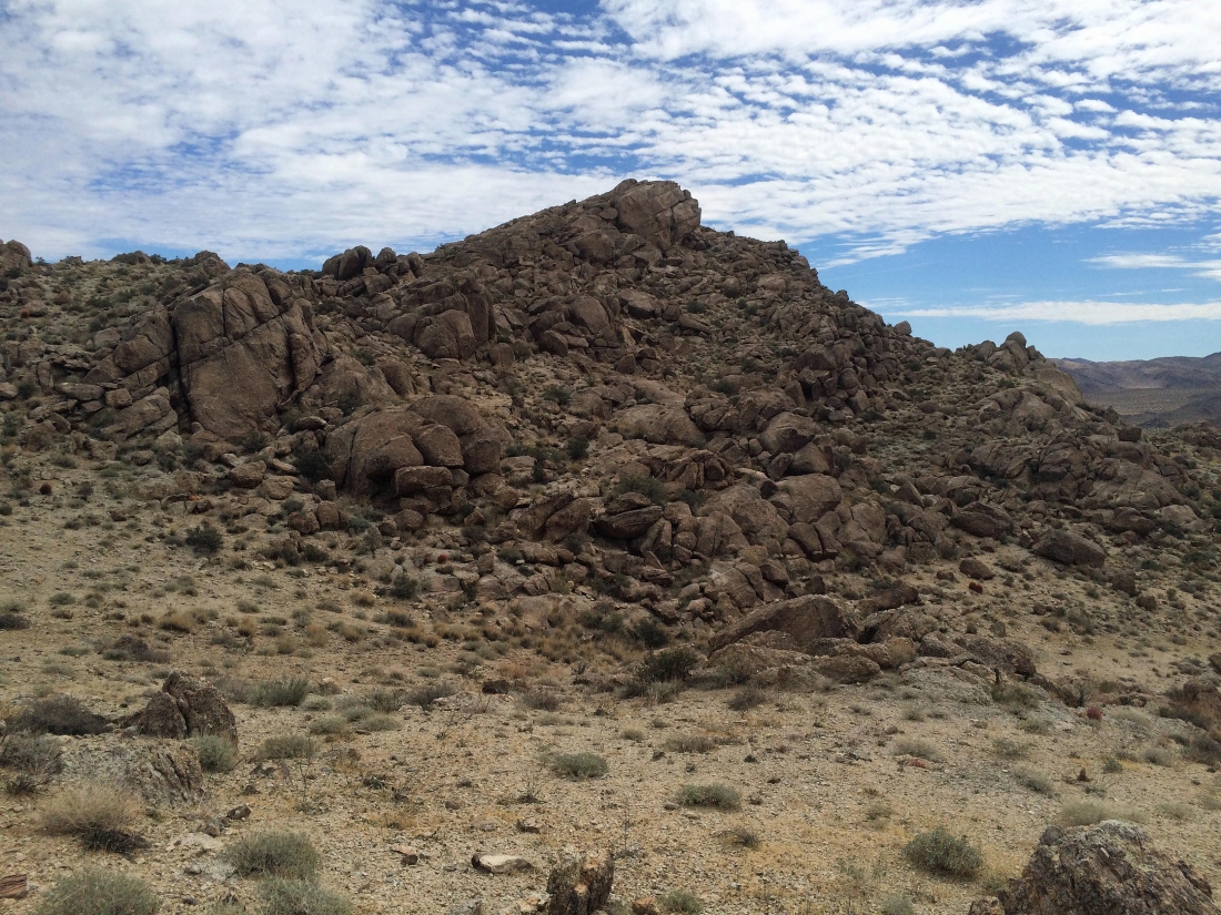
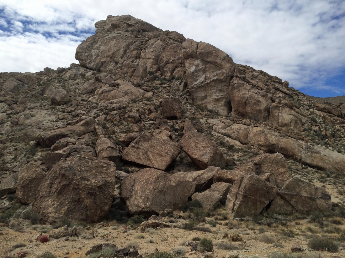
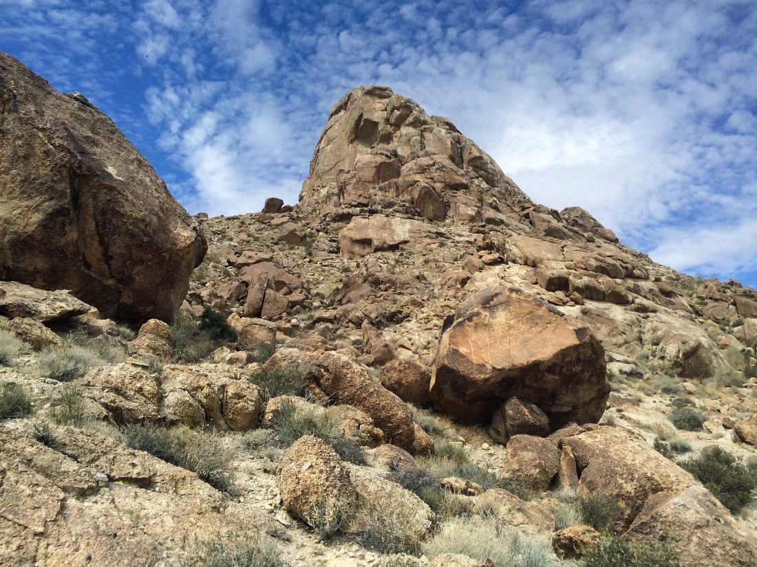
Joshua Mountain straight ahead.
|
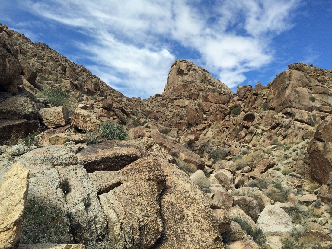
The path will lead me up to the pass on the left side of Joshua Mountain.
|

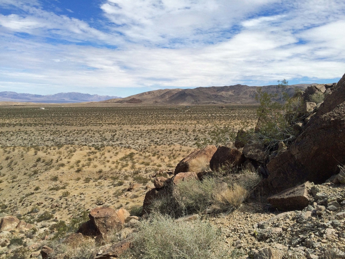
Looking back across the desert floor to Twentynine Palms Mountain.
|
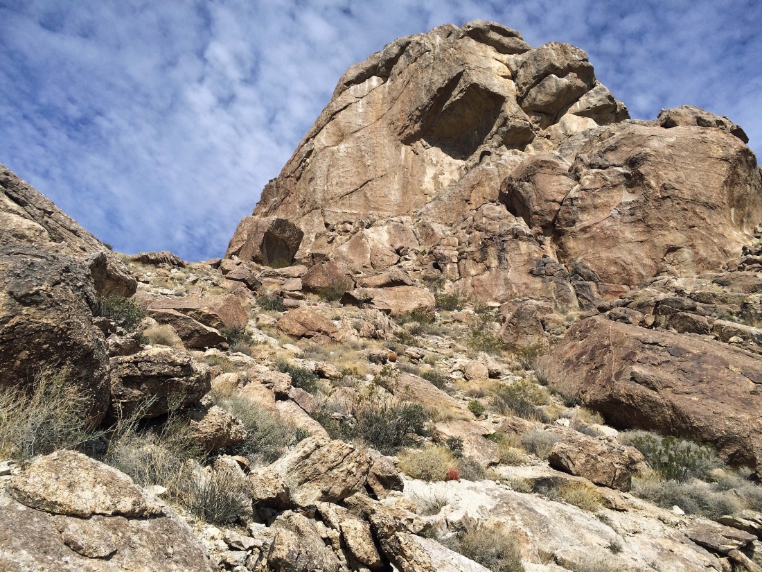
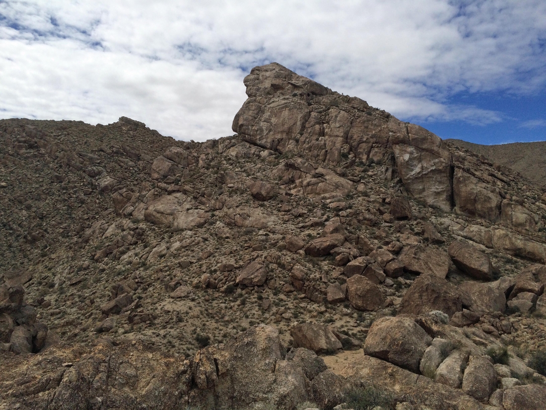
Getting closer to Joshua Mountain... but if I reach the summit, it will definitely be a route on the back side of the mountain.
|
Almost up to the pass on the left.
|
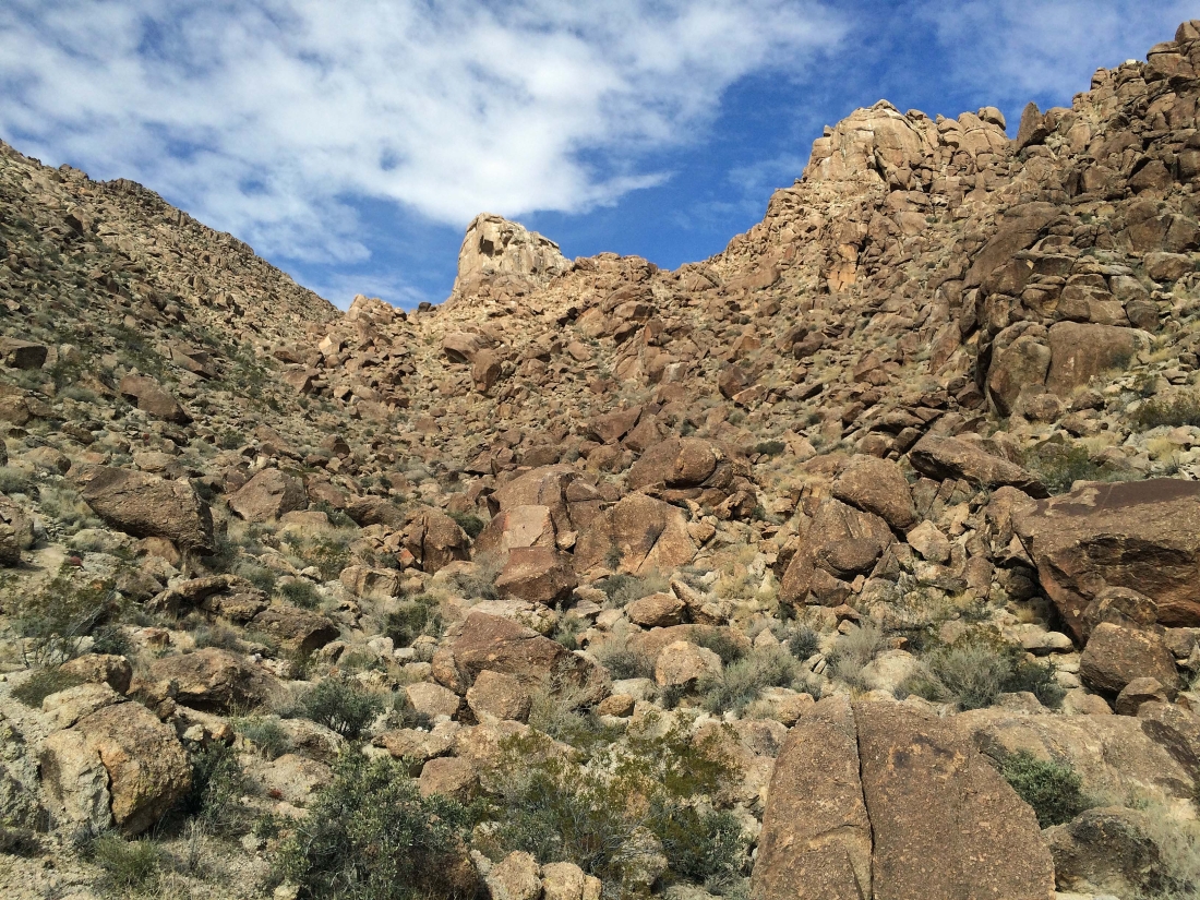
Nearing the pass on the left side of Joshua Mountain.
|
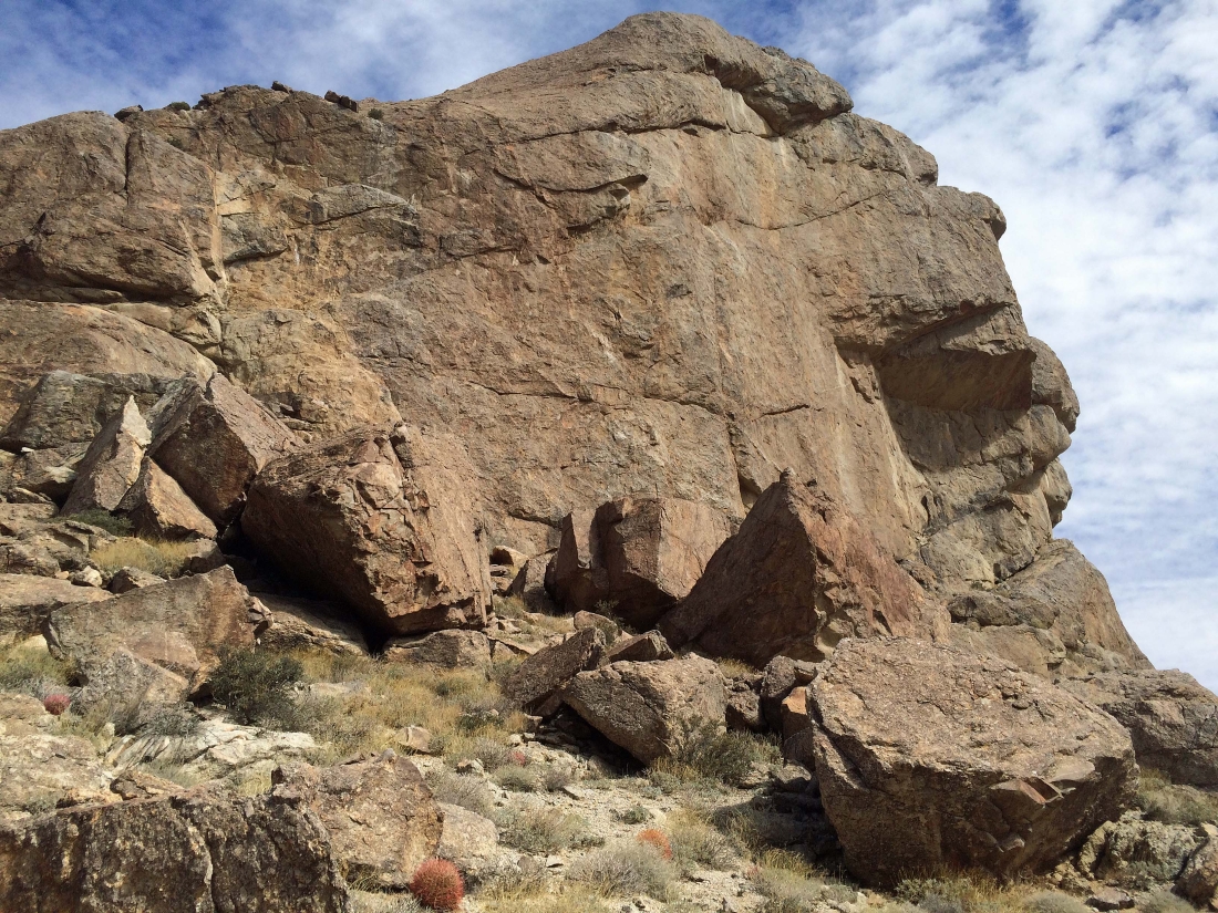
I have reached the pass on the south side of Joshua Mountain... I believe that we are looking at Point 4312.
|
On the south side of Joshua Mountain.
|
I have continued over to the west side of the mountain to look for a route up to the summit... and I'm heading up now.
|

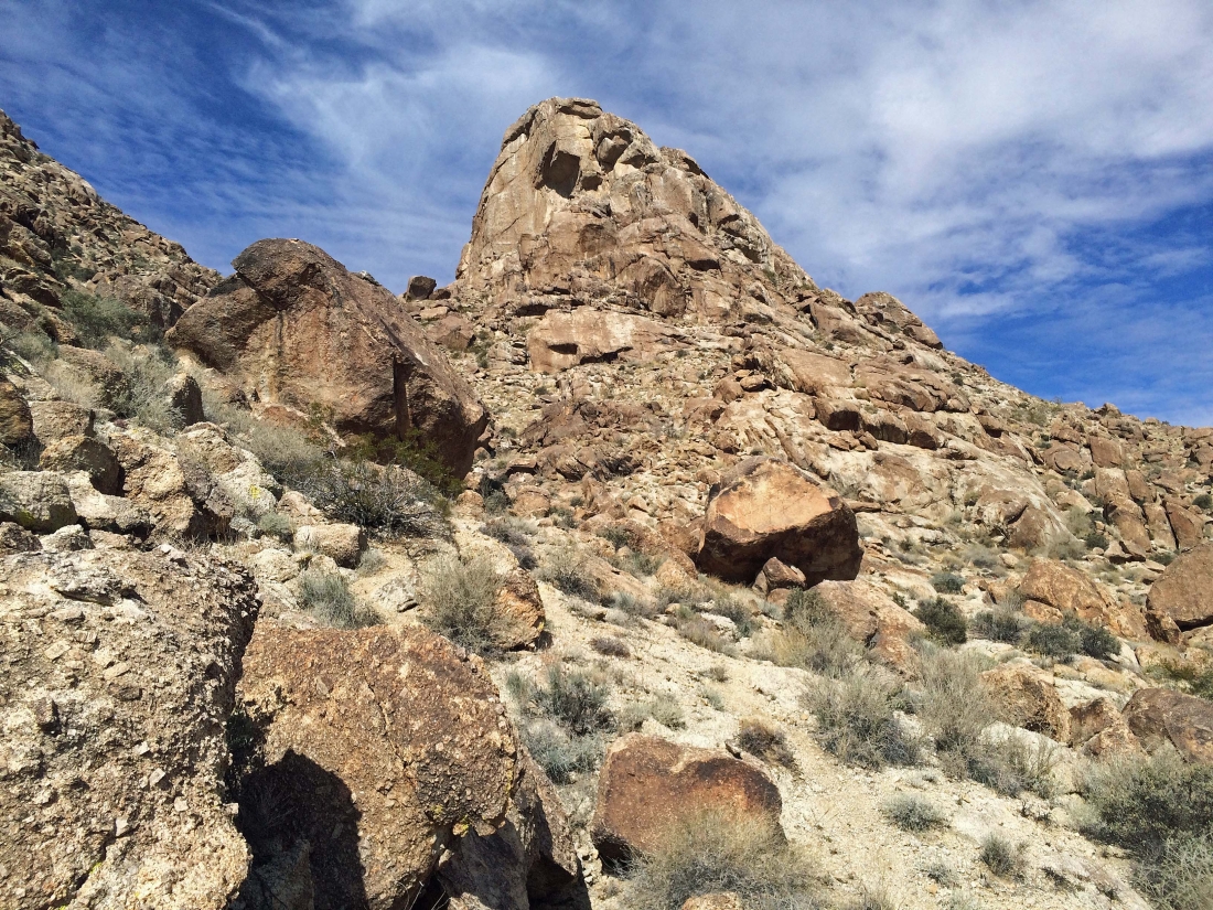
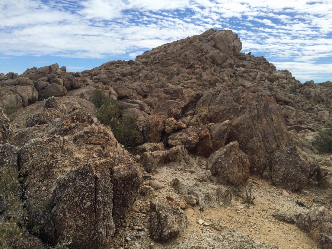
I'm looking at Point 3582 as I continue up to the Joshua Mountain summit.
|
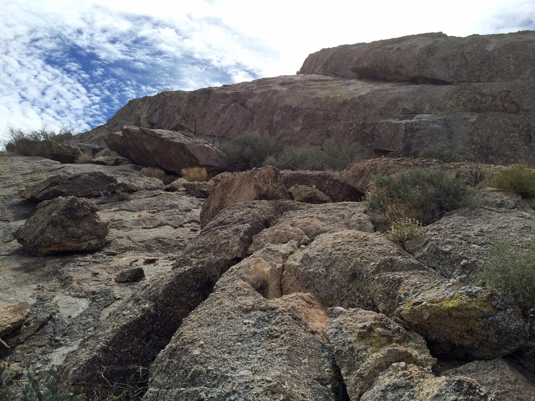
Continuing up.
|

Rounding a corner.
|
Continuing up.
|
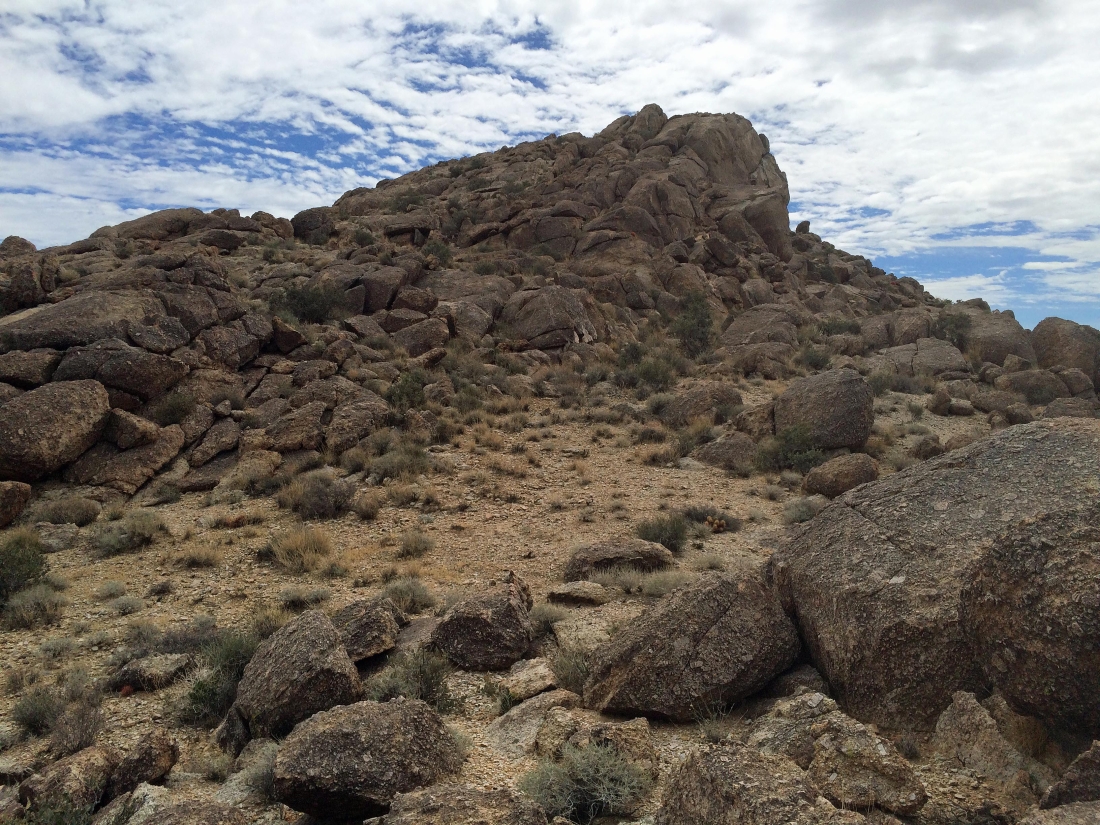
I can see the top.
|
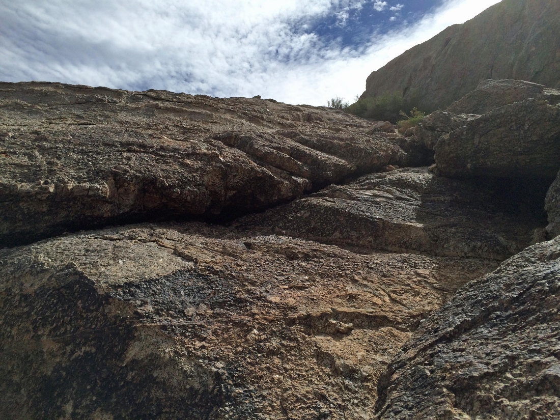
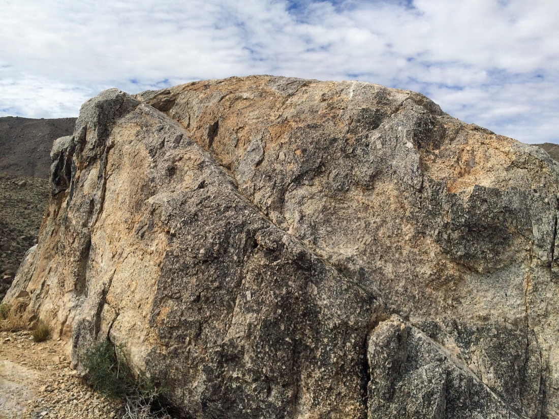
All things considered... the terrain is fairly easy to negotiate.
|
The final ramp leading up to the summit (3680+).
|

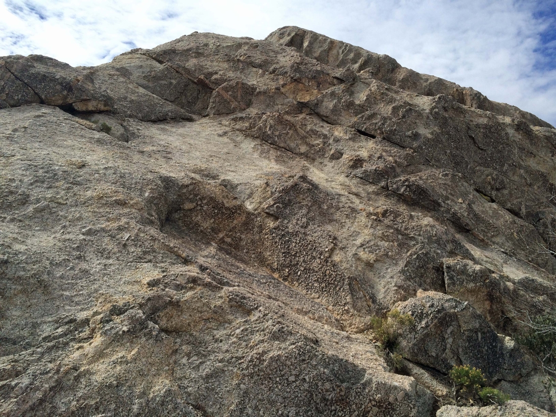
Don't slip here.
|
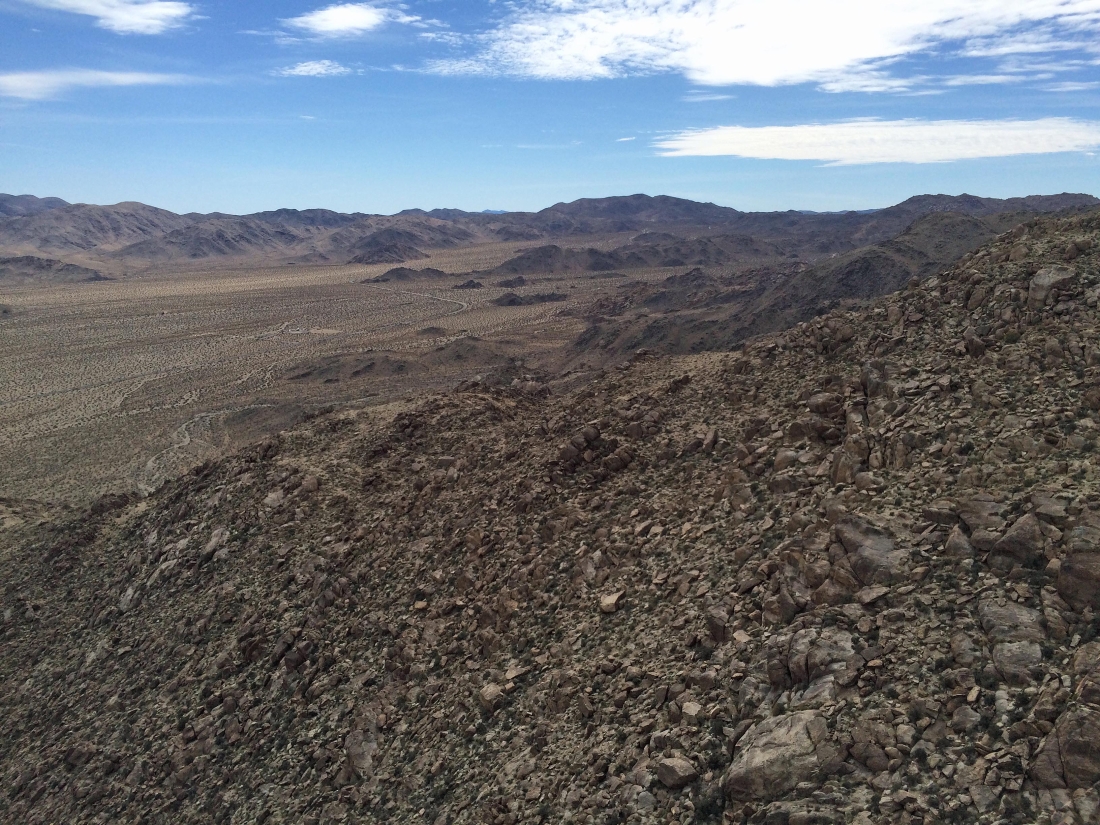
Looking SE into Joshua Tree National Park.
|
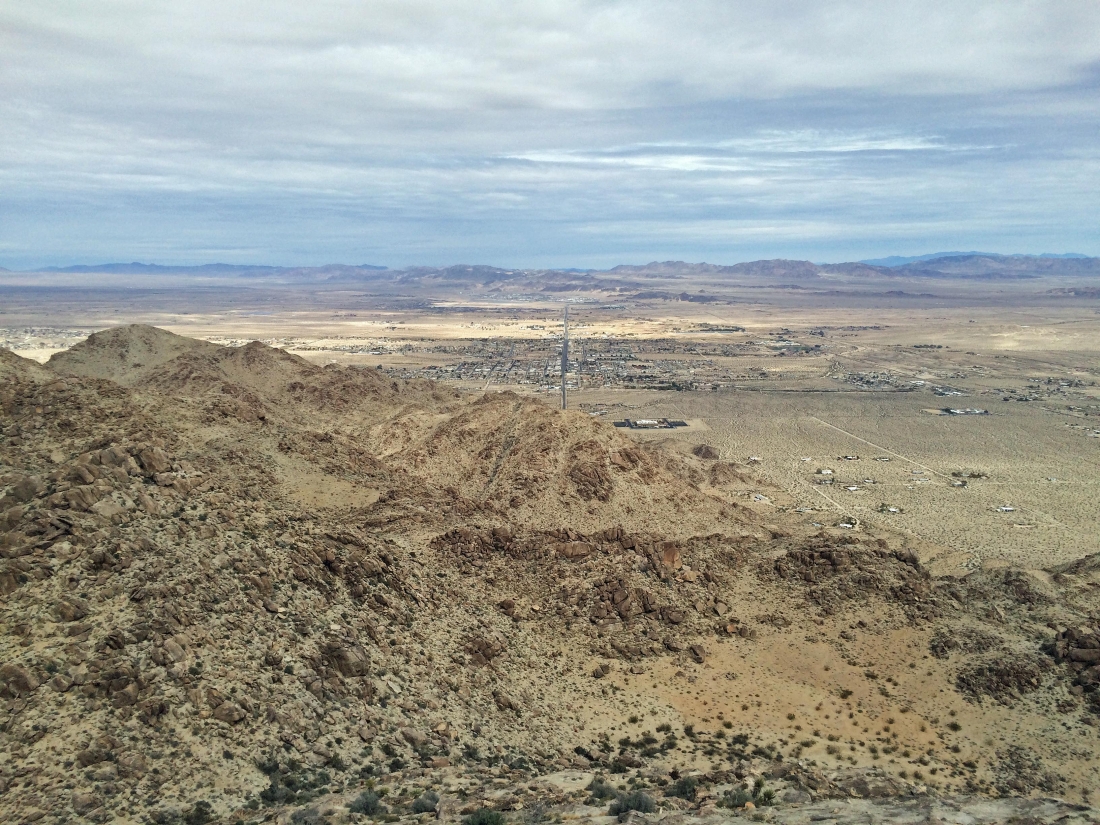
Looking north across the town of Twentynine Palms and the Marine Corps Ground Combat Center to the Bullion Mountains.
|
Getting ready to head down the ramp from the summit.
|
Almost down from the summit.
|
Heading over to Point 3505 on the right.
|
Getting ready to start ascending Point 3505.
|
Ascending Point 3505 and looking over at the east side of Joshua Mountain.
|
Ascending Point 3505 and looking over at the east side of Joshua Mountain.
|
Heading for the summit of Point 3505.
|
Nearing the summit of Point 3505.
|
Ascending Point 3505 and looking over at the east side of Joshua Mountain.
|

Nearing the summit of Point 3505.
|

The east side of Joshua Mountain from the summit of Point 3505.
|

Looking east from the summit of Point 3505 to Twentynine Palms Mountain.
|
Following the path on the way down that I used on the way up.
|
Heading down.
|
Almost back to the desert floor... leaving three-quarters of a mile or so to get back to the car... the trip was 3 miles roundtrip, gaining 1330 feet of elevation.
|
