Whitewater Preserve - 3.21.2018
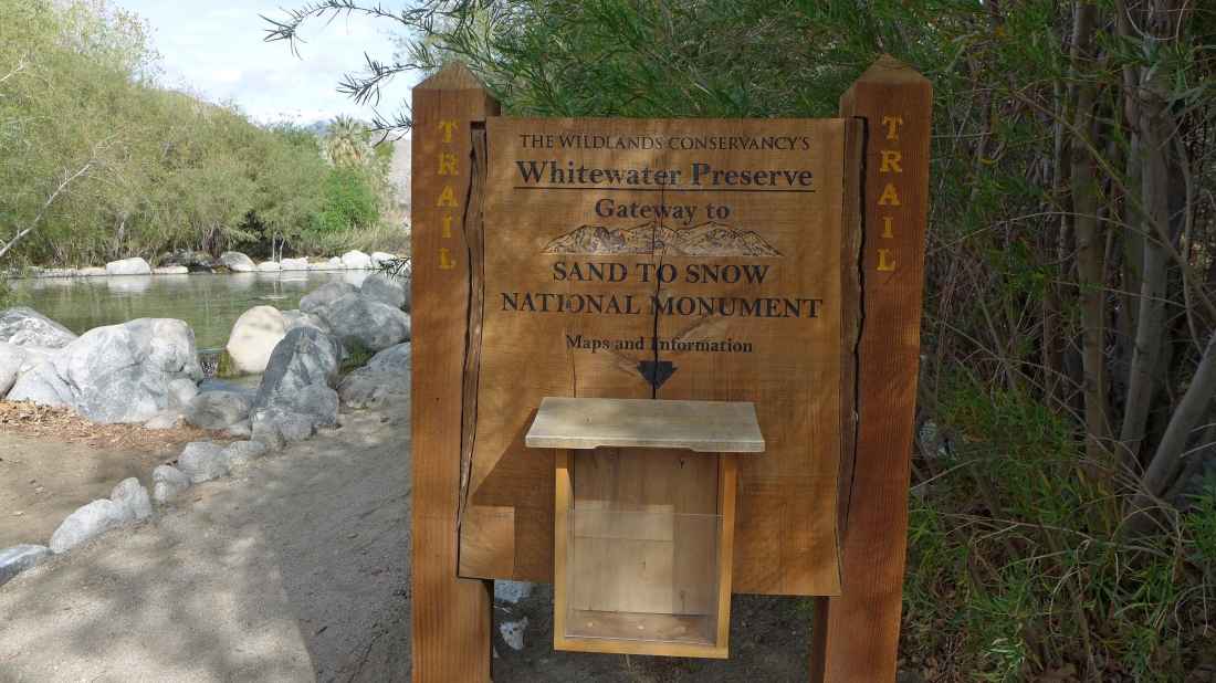
A 30 minute drive from Palm Springs... take Exit 114 off of I-10 and drive 4.8 miles up Whitewater Canyon Road to the parking area.
|

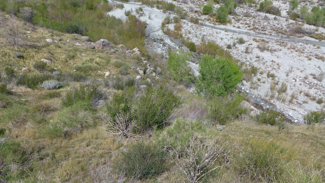
After hiking a quarter-mile cross the river and get up on the west bank.
|

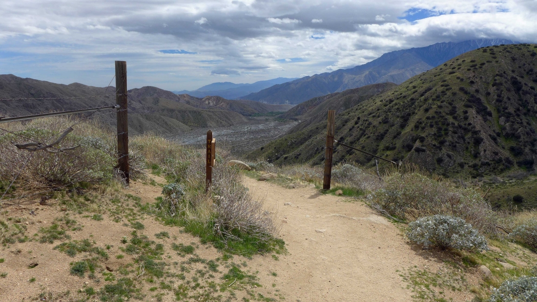
A short distance after crossing the river I entered the San Gorgonio Wilderness.
|

Shortly after entering the San Gorgonio Wilderness I will take the PCT South.
|

There has been trouble with feral dogs and feral cows since January... I didn't see any.
|

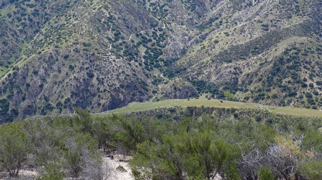
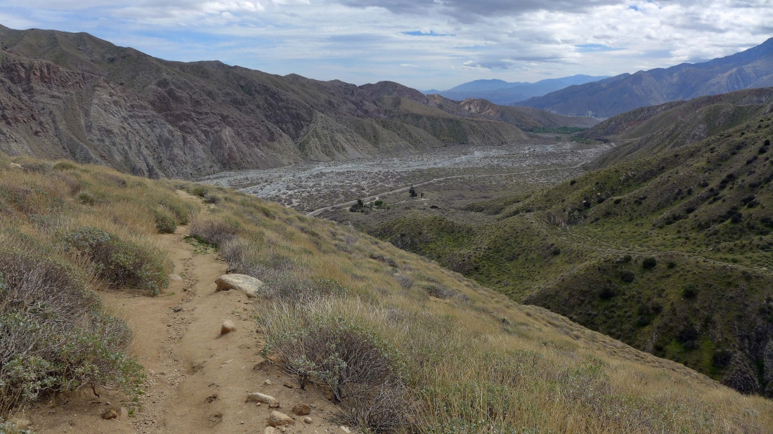
On the PCT... which I can see switchbacking up the hillside on the left.
|
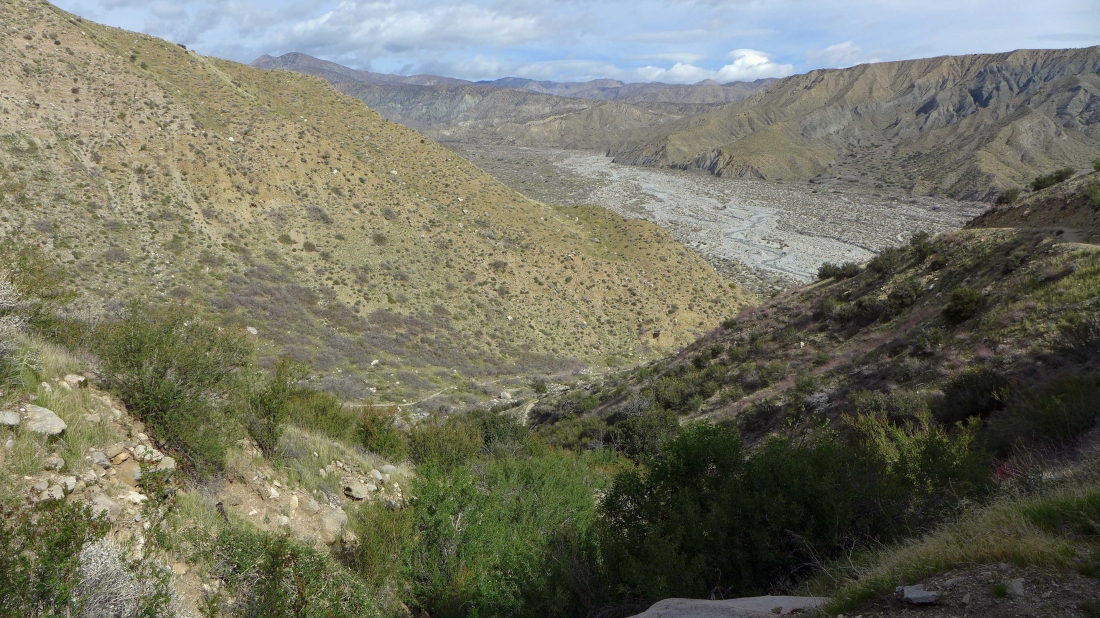
Ascending on the PCT... looking down at the PCT below where it left the canyon.
|
Lots of traffic on the PCT.
|

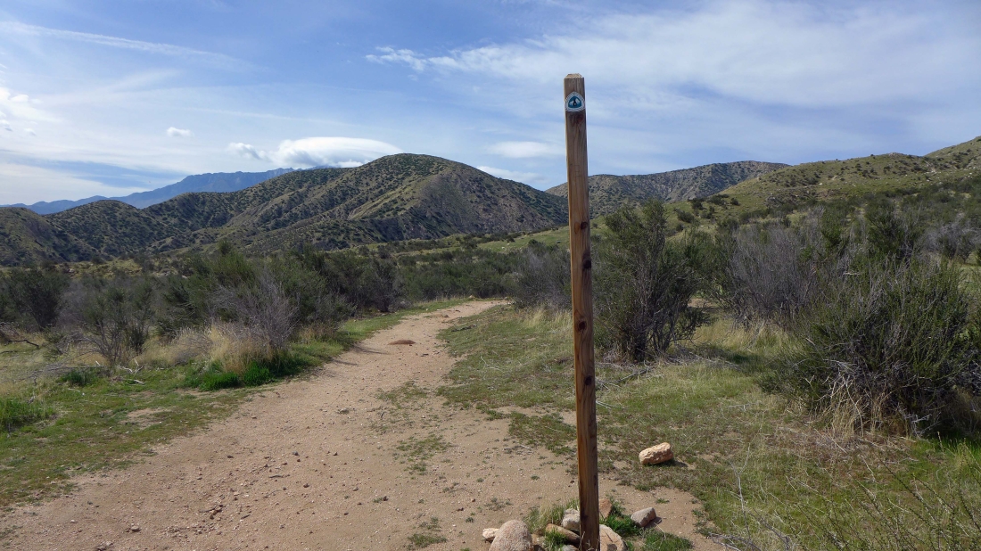
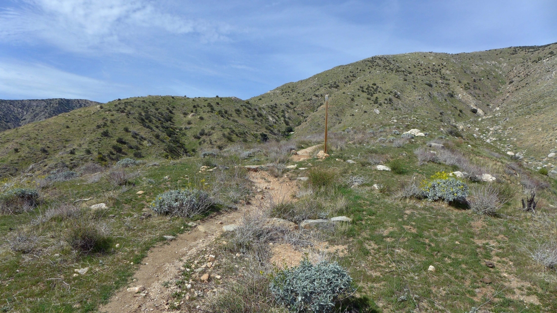
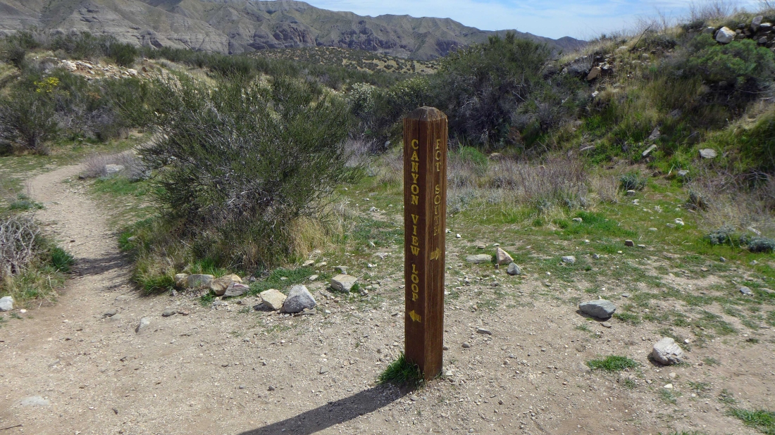
At ~2750 feet the PCT junctions with the 'Canyon View Loop' trail... I will continue on the PCT and will do the loop trail later in the day if I have the time.
|
Hiking south on the PCT.
|
Continuing south on the PCT... I didn't realize it at the time, but I will be hiking cross-country along the ridge on the right horizon... but I will continue on the PCT until it starts to lose elevation.
|

The PCT is starting to lose elevation... so it is time to leave it and head uphill.
|
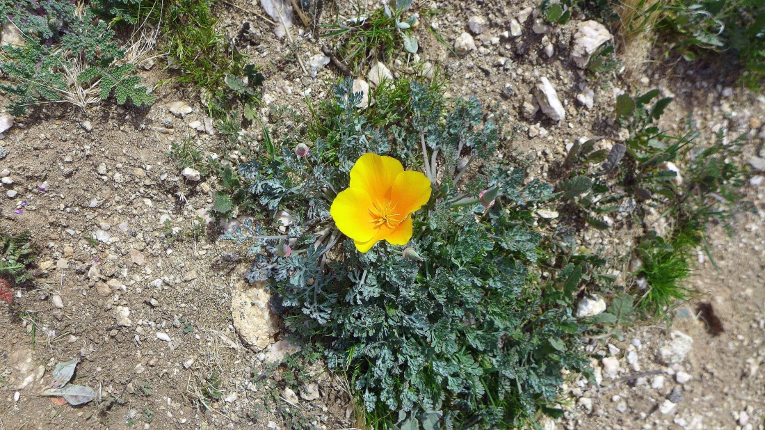
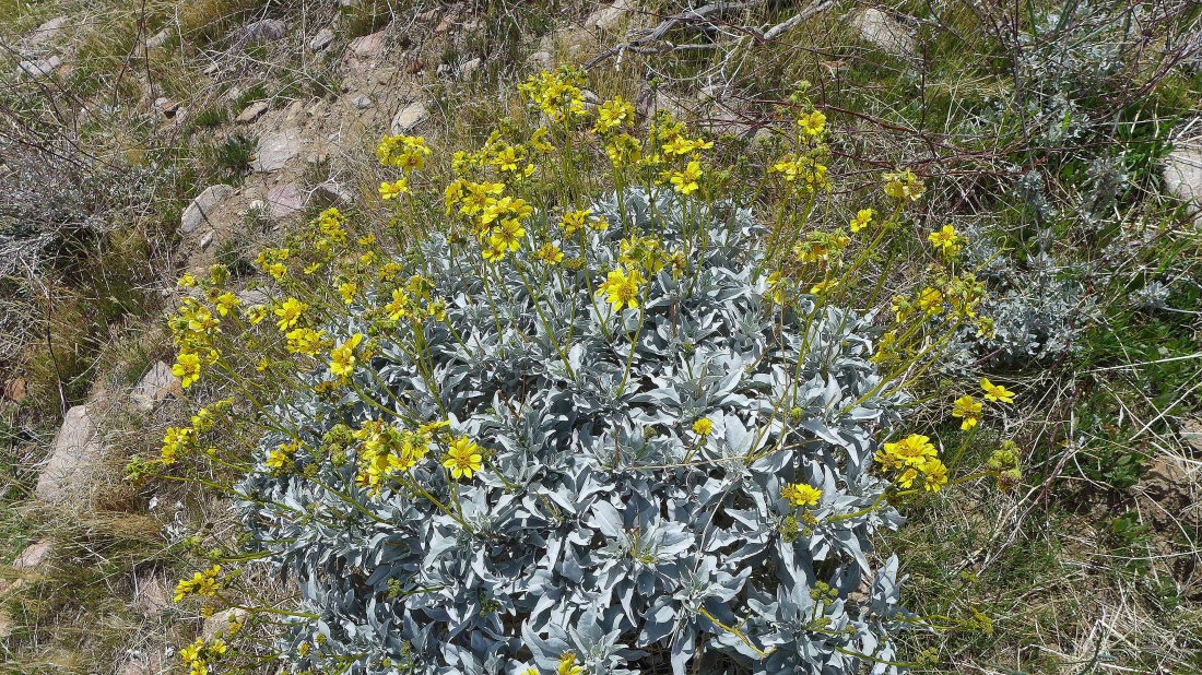
Perhaps it is a 'Desert Gold Poppy'.
|

Off trail and gaining elevation... looking back at the PCT as it wraps around the hills.
|
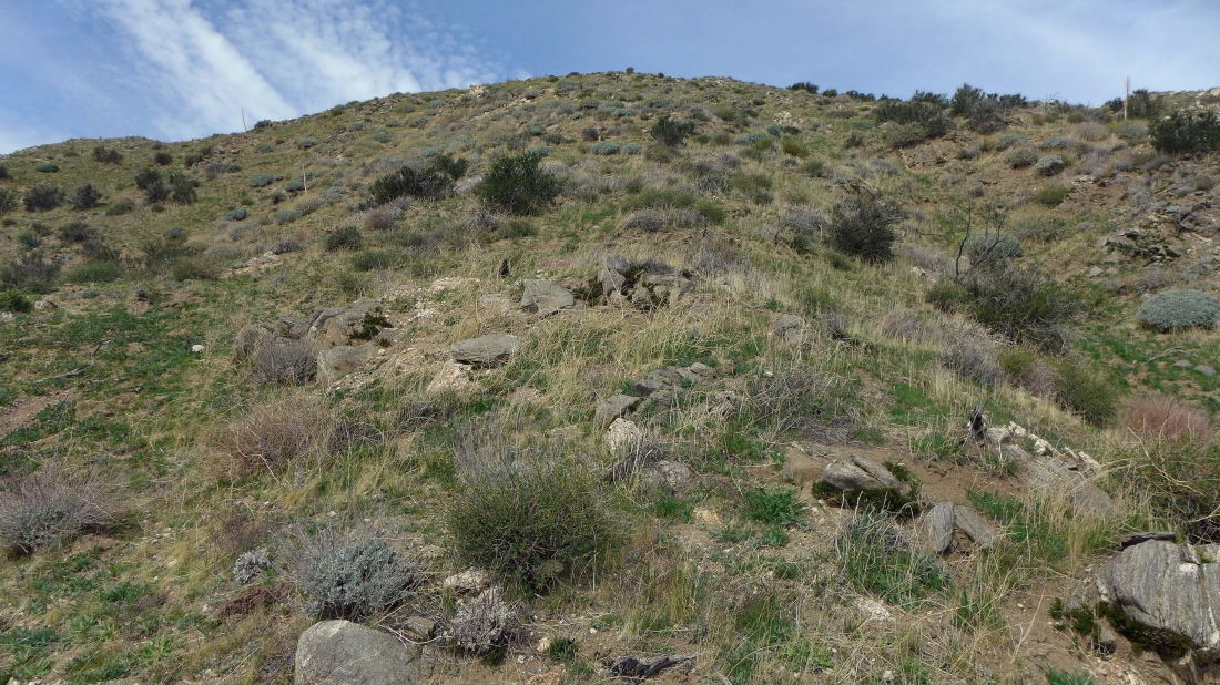
Heading up on pretty easy terrain.
|

High enough now to see San Jacinto Peak on the horizon.
|
Continuing cross-country.
|

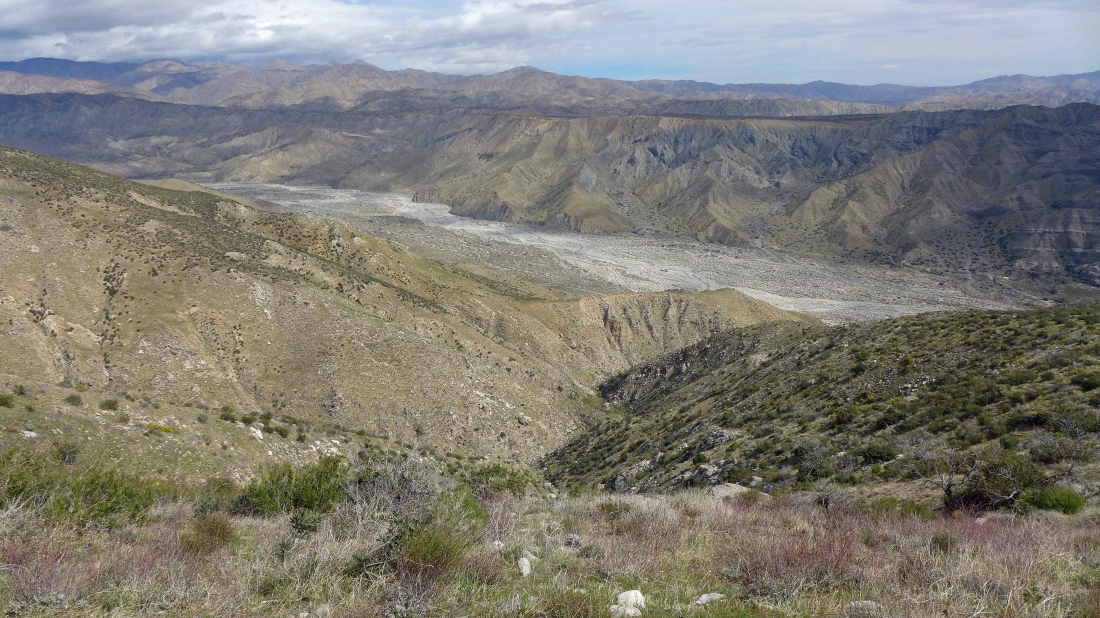
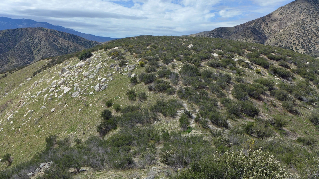
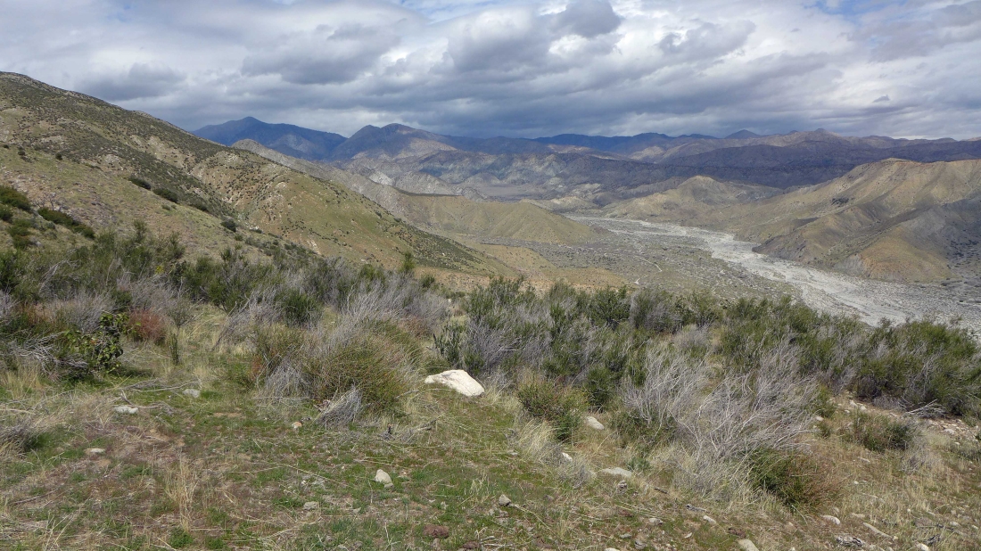
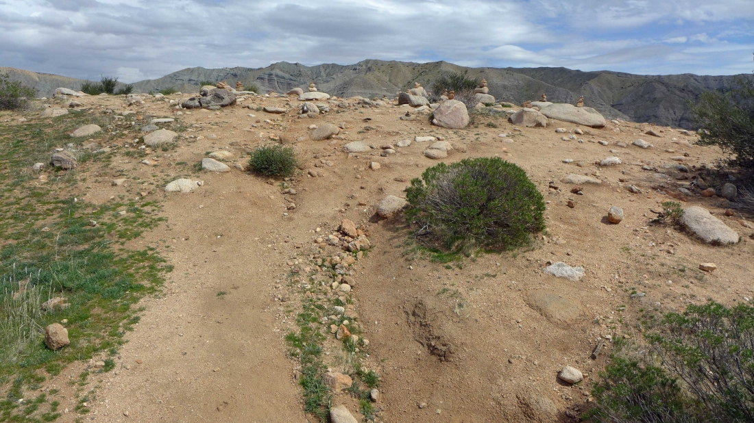
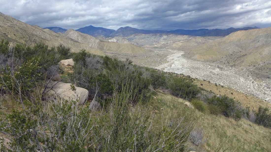
Near my high point for the day... looking north up Whitewater Canyon.
|
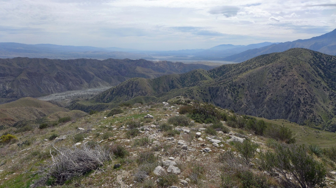
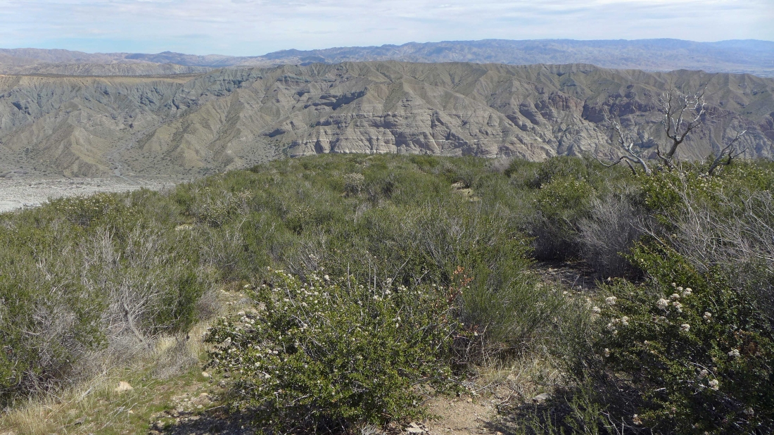
Looking SE down Coachella Valley toward the Salton Sea.
|
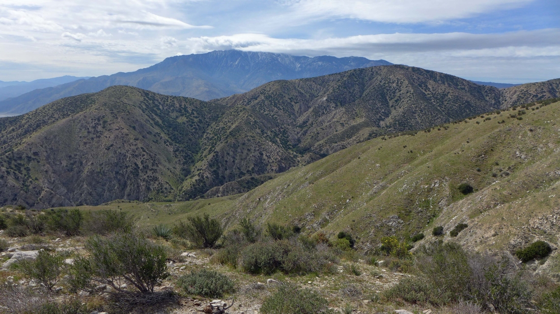
San Jacinto Peak from near my high point.
|
Looking across Whitewater Canyon.
|
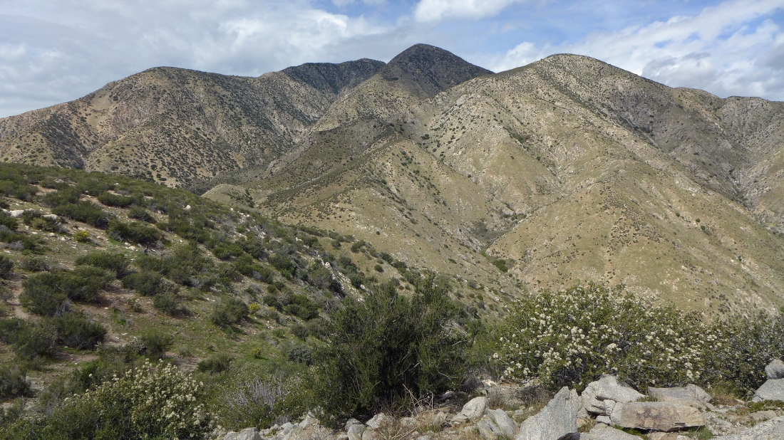
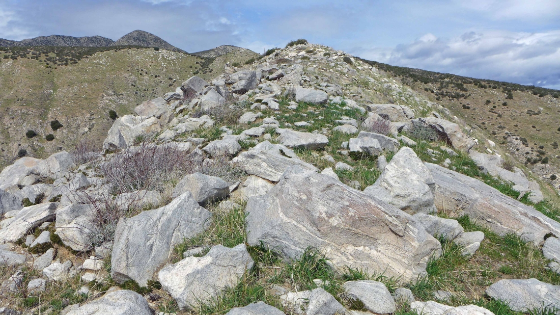
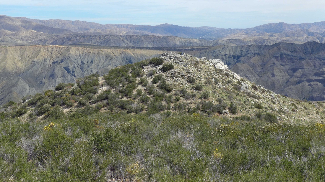
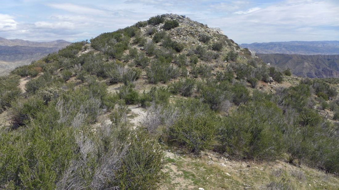
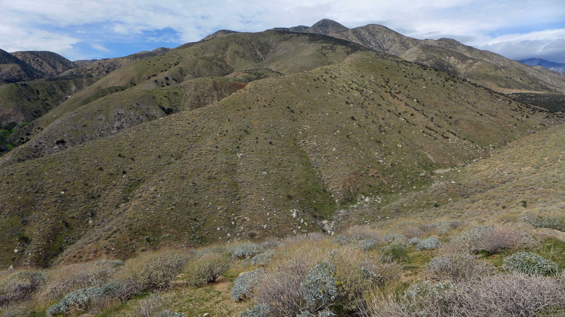
Plenty of higher points above me... but not today.
|
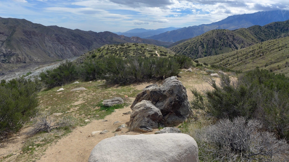
I'm going to drop my pack and go over there and see if the views are any better.
|
Looking back at where I left my pack.
|
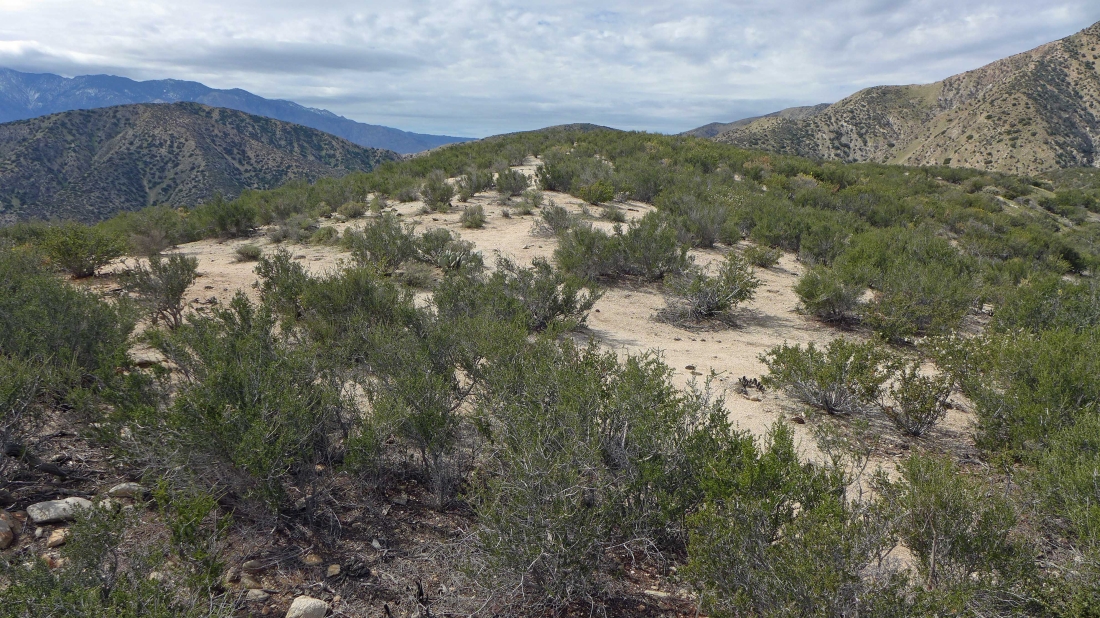
The little bump is flatish on top... Los Angeles is out there somewhere.
|
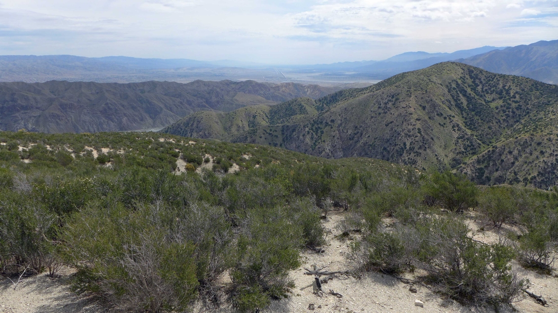
Looking down Coachella Valley from my high point on the flat top.
|
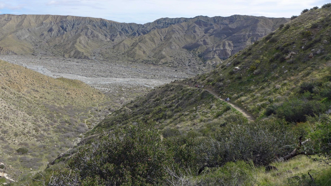
Looking down on an interesting bench... earlier in the day I saw 10 or 12 people who were camping on it... you can see the PCT snaking uphill on the other side of the bench.
|
Heading back to my pack.
|
I am taking a slightly different route back down to the PCT... definitely more brushy than the route I took up... but still very workable.
|

Heading back to the PCT... looking down on Whitewater Canyon.
|
Continuing down to the PCT.
|
I think this is 'Coreopsis Californica'.
|
I'm back at the junction with the 'Canyon View Loop' trail... and I have the time to do it.
|
On the 'Canyon View Loop' Trail and approaching an excellent view spot.
|
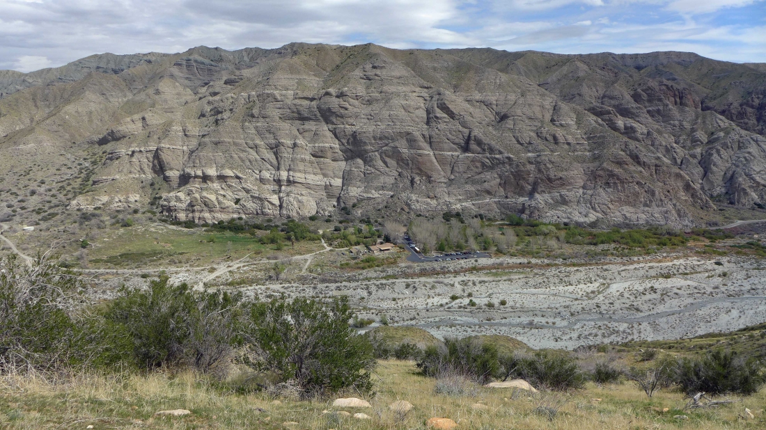
Looking down on the Whitewater Preserve Ranger Station and over to the San Bernardino Mountains.
|
Looking north up Whitewater Canyon.
|
Continuing SE on the 'Canyon View Loop' Trail.
|
On the 'Canyon View Loop' Trail.
|
Looking back at my high point from the 'Canyon View Loop' Trail.
|
Continuing down on the 'Canyon View Loop' Trail... I can see the Whitewater Canyon Road that we used to reach the Ranger Station earlier in the day.
|
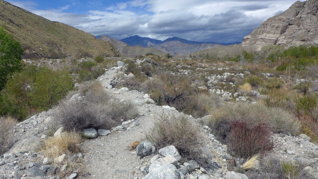
Off trail and taking a short cut down to the Whitewater Canyon.
|

Almost down to the canyon.
|
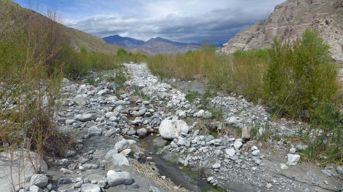
On the canyon floor... looking for a path that will get me back to the Ranger Station.
|
I found the path... less than a quarter-mile to get back to the car.
|
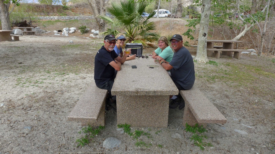
Gail, Brian, Rosie and Cam are waiting for me at the Whitewater Preserve picnic area... they did the hike to 'Red Dome' which I did 3 weeks ago... my figure eight trip was 5.7 miles, gaining 1699 feet of elevation.
|
