Cow Camp - 3.25.2018
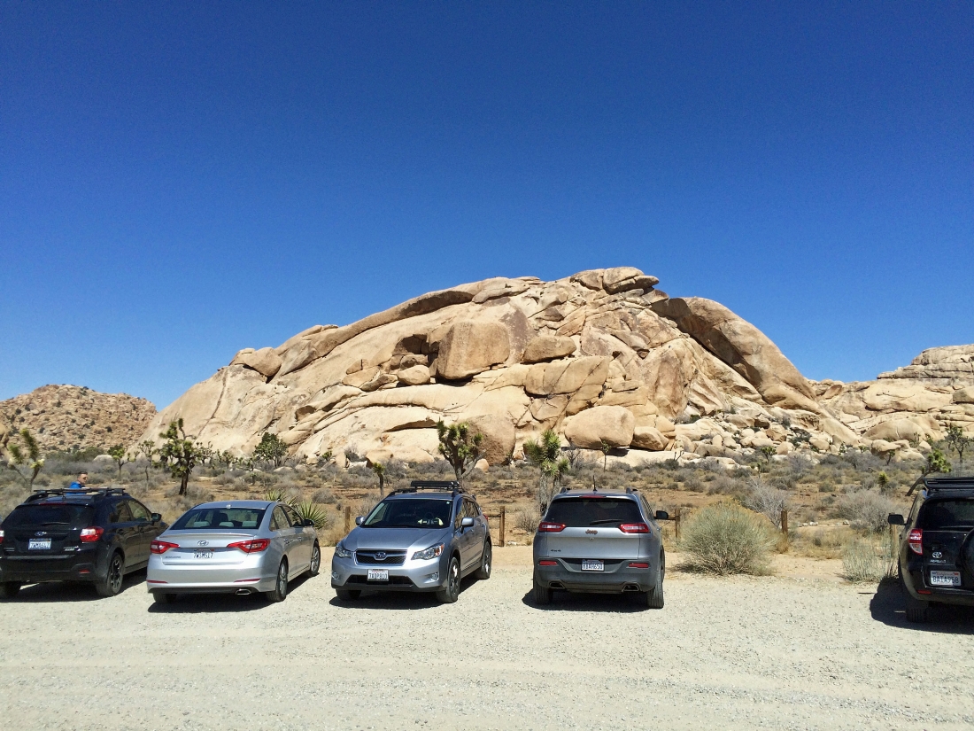
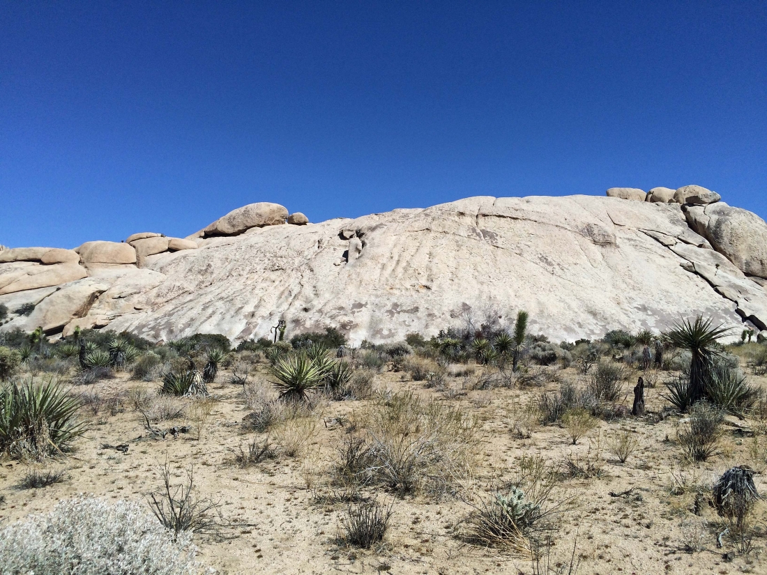
I parked at the unpaved parking area for Echo Rock in Joshua Tree National Park.
|
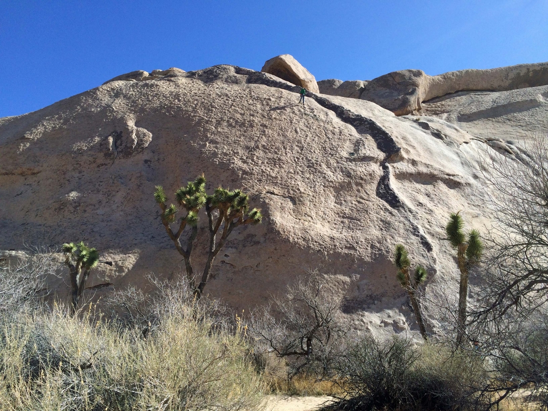
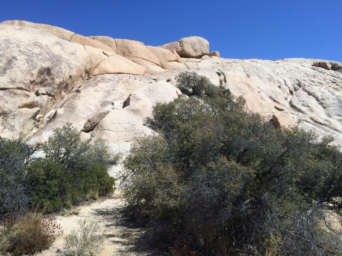
This is not an official trail... but well-worn paths are used by climbers all over the Echo Rock area... here I am passing by the popular 'Stichter Quits' rock climb.
|
A climber on top of a route in the Echo Rock area.
|
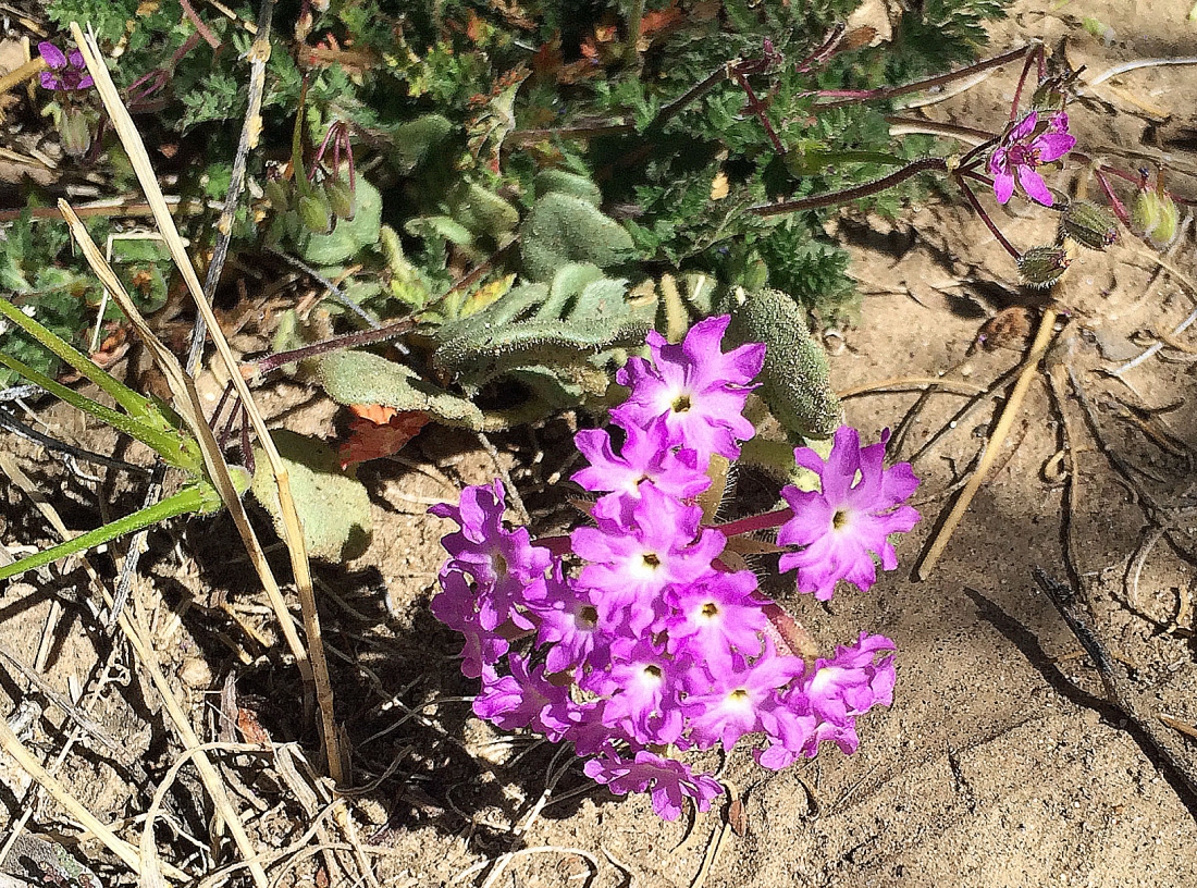
Desert Sand Verbena.
|

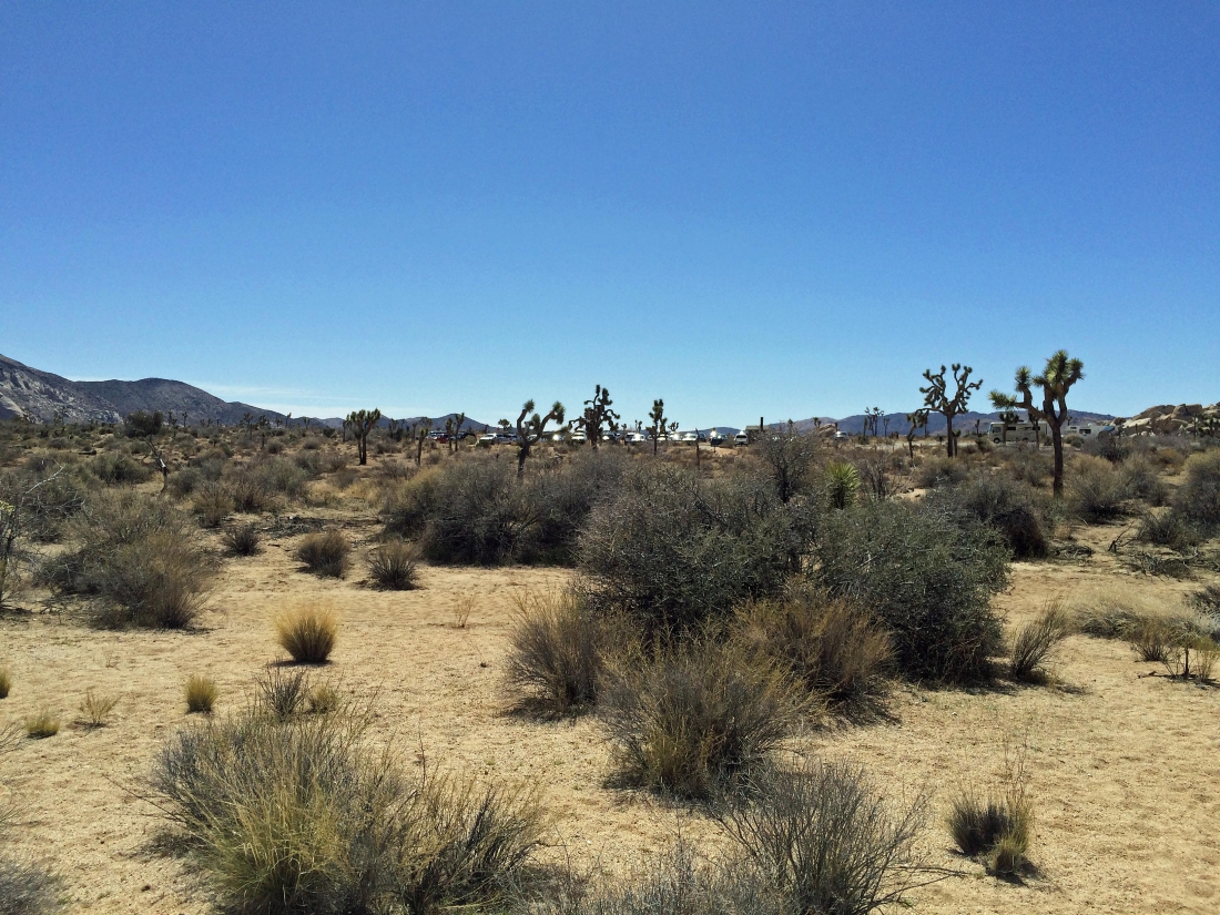
I have hiked north for ~1 mile along the western edge of Wonderland of Rocks and getting ready to start searching for Cow Camp.
|
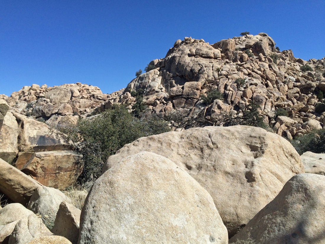
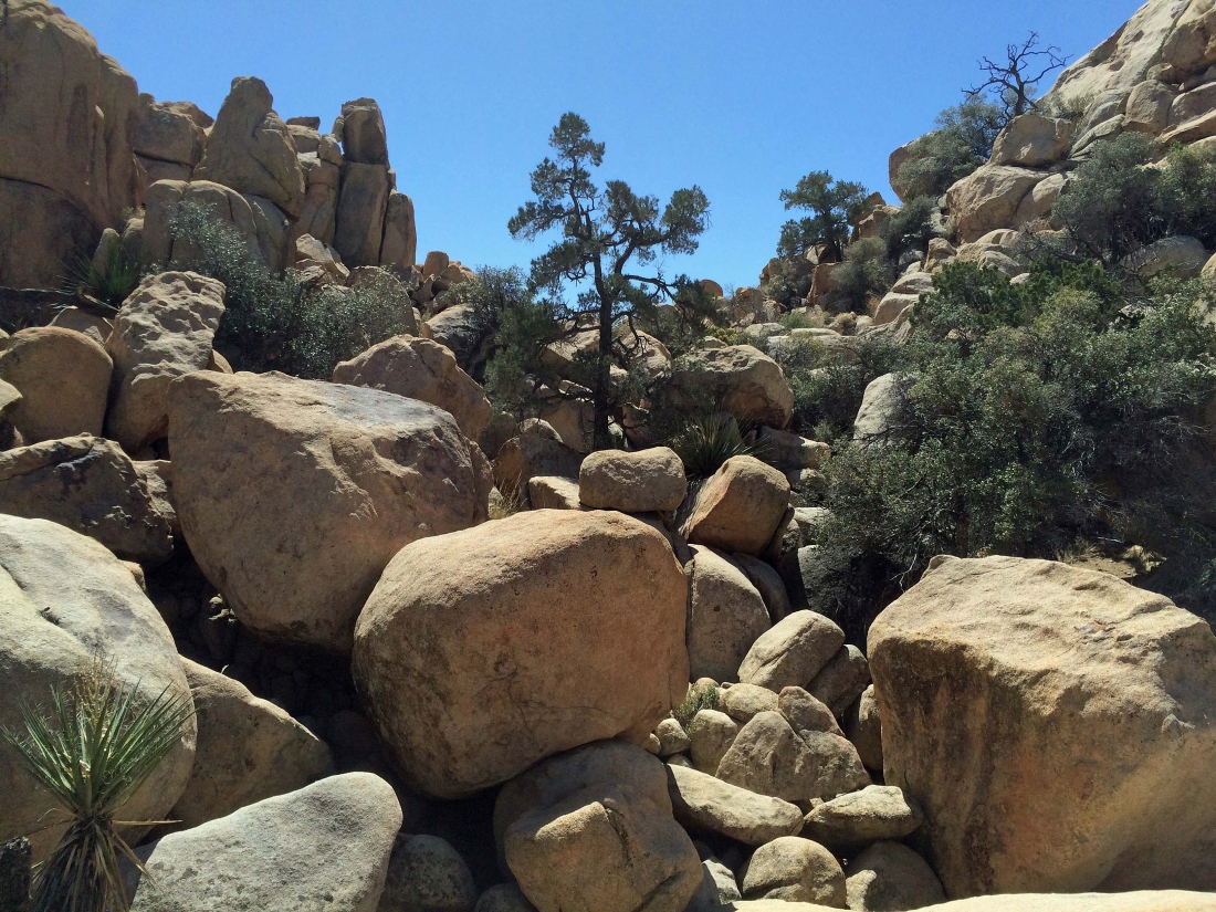
Some very large boulders need to be dealt with on this route.
|
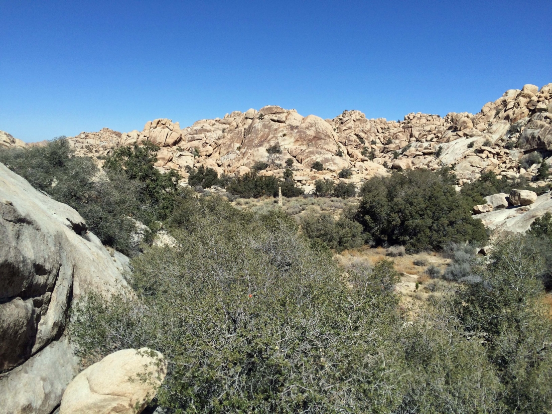
Heading for that thing down there in the center of the photo.
|
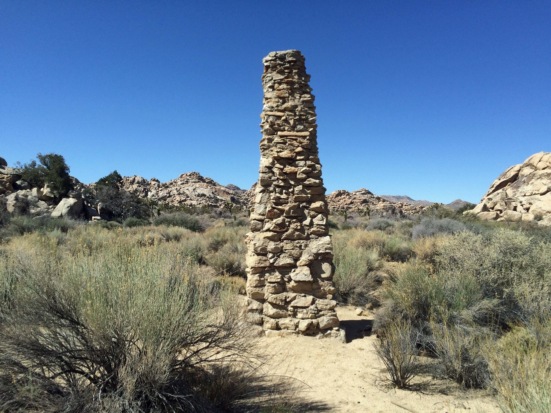
A chimney at Cow Camp.
|

Heading for what looks like a dam.
|
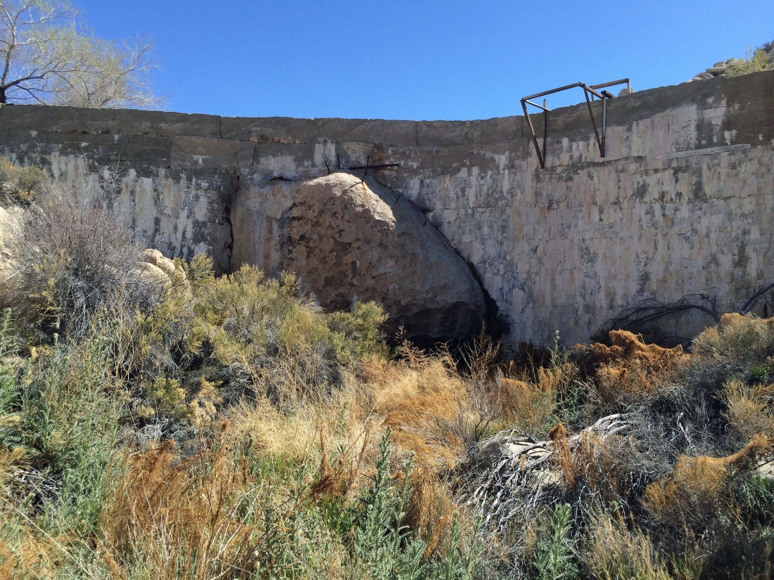
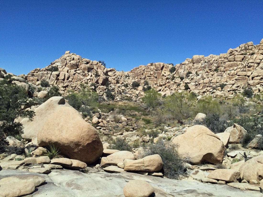
Definitely looks like a dam.
|

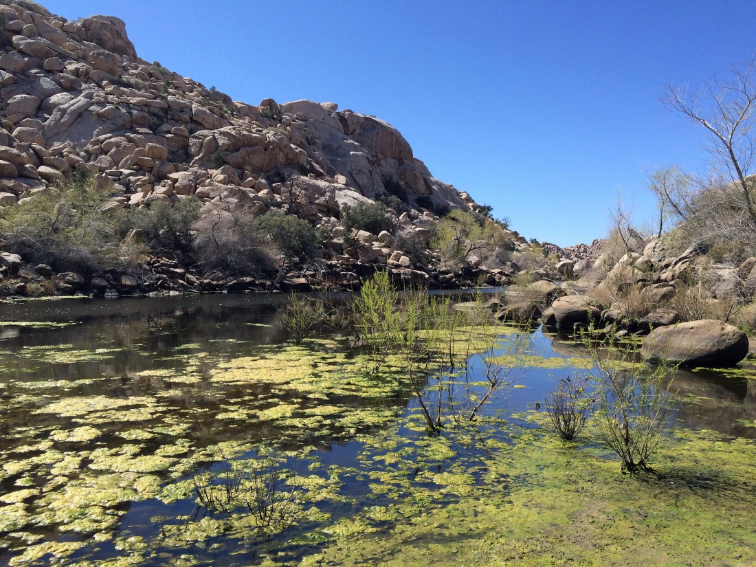
Definitely a dam at Cow Camp.
|

I'm going to go around the north side of the pond at Cow Camp... between the brush and large boulders, the route is challenging.
|

It took me more than 30 minutes to get around the pond... this sort of thing was why it took so long.
|
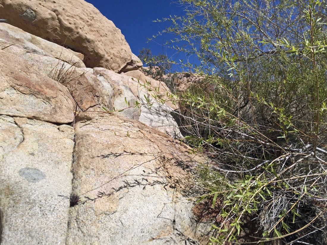
Brush and large boulders on the north side of the pond at Cow Camp.
|

Still trying to get around the north side of the pond at Cow Camp... a bird is keeping an eye on me.
|
Almost at the east end of the pond... looking back toward the dam at the west end of the pond.
|
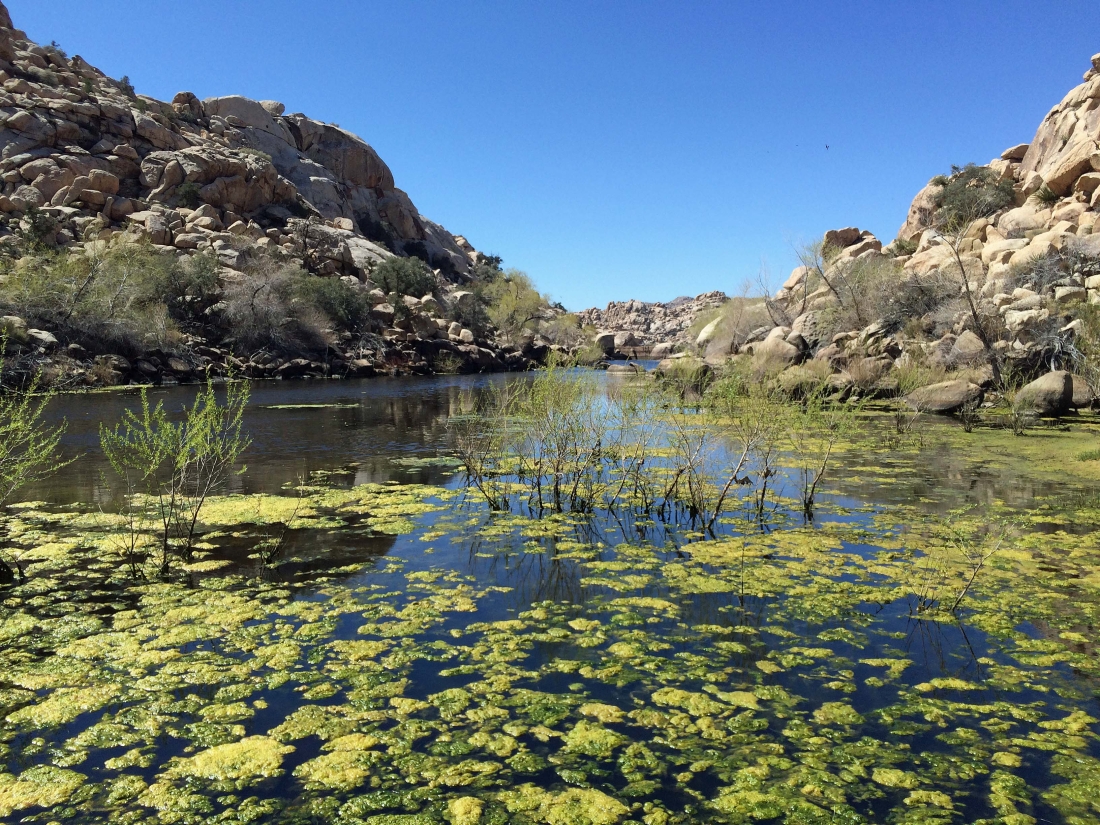
At the east end of the pond... I can see the dam at the west end of the pond.
|
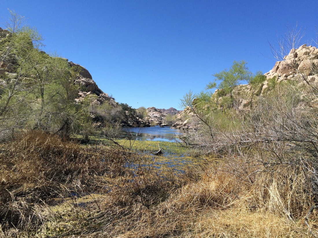
Starting to leave the area of the pond... I'm going to look for a different way to return.
|

Looking back at my route around the north side of the pond at Cow Camp... that bird is still keeping an eye on me.
|

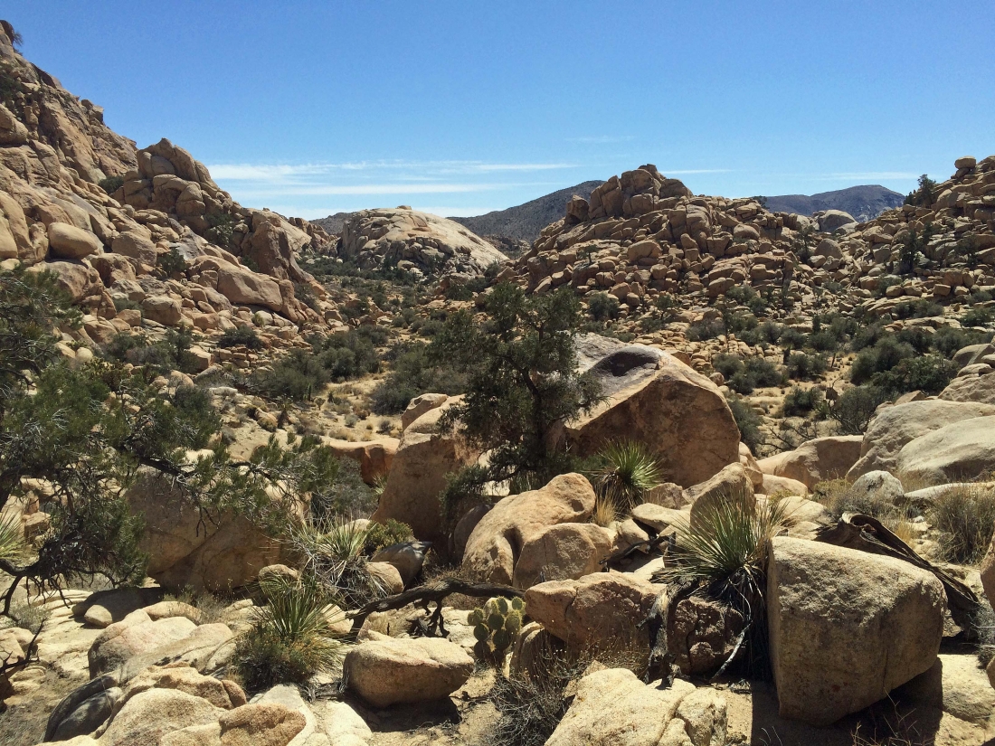
Heading away from the pond... there is a reason it is named 'Wonderland of Rocks'.
|
Looking back at the pond as I continue to look for a way out of the rocks.
|

Challenges are ahead.
|

Looking back toward the pond area.
|
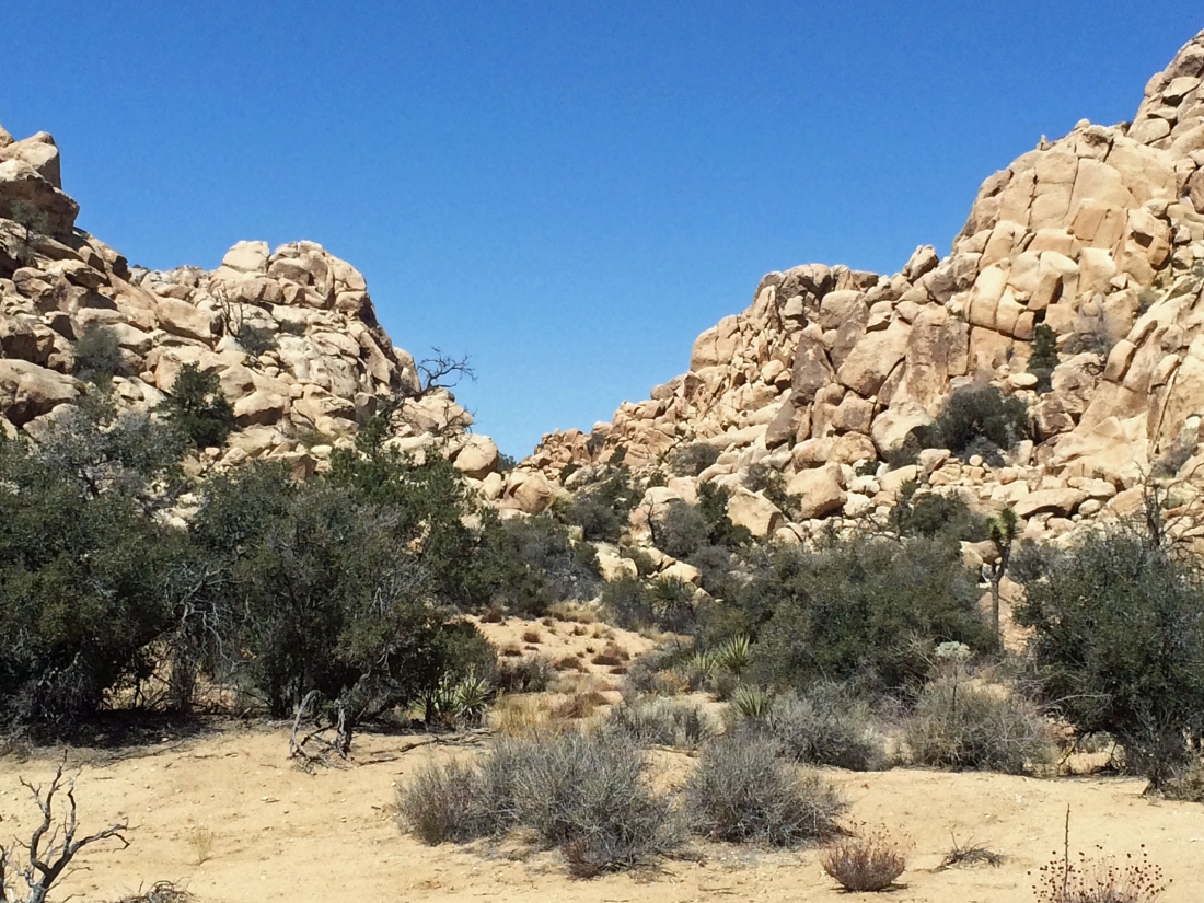
Almost to a little pass.
|
At the little pass... or is it a gap instead of a pass... regardless, the terrain looks a lot easier than what I just had to deal with.
|

Continuing beyond the gap on much easier terrain.
|
Looking back at the gap I used to get out of the Cow Camp area.
|
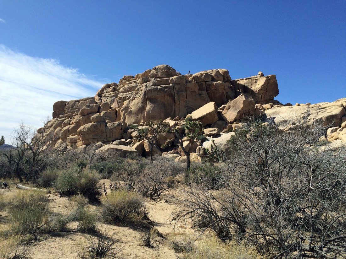
From the gap I had noticed this rock formation and made it a point to check it out on my way back to the car... and sure enough, there is a Class 2 scramble route on the left that will take a person to the top... perhaps next year.
|
Looking back at the rock formation that had caught my attention from the gap.
|
Almost back to my car at the Echo Rock parking area... my loop trip was 3.1 miles, gaining 286 feet of elevation.
|
