Calcite Mine and Point 1122 - 3.26.2018

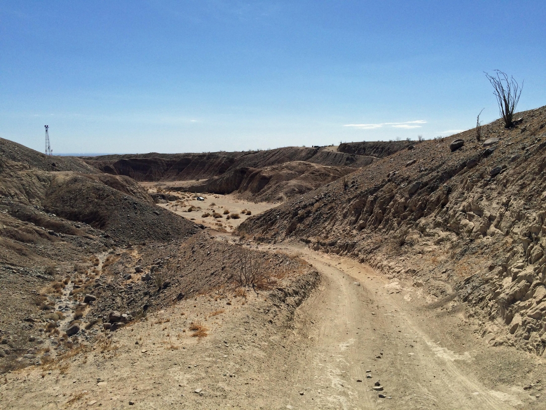
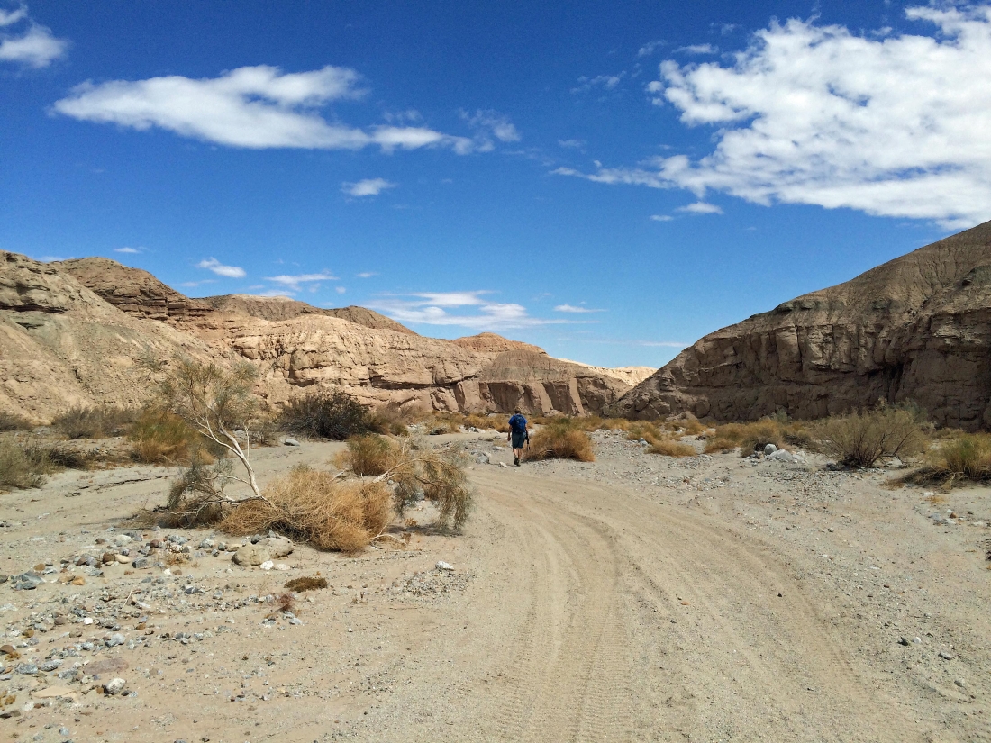
From Coachella, drive Hwy 86 and turn right on Boreggo Salton Seaway... then drive 8.2 miles and park next to the highway... we chose to drive a lousy road for an eighth of a mile further down into the canyon before parking... Gail is starting to hike up the Calcite Mine Road on the right.
|
Hiking uphill on the Calcite Mine Road... looking back at our car parked in the canyon... and the cars that are parked up next to the highway above the canyon on the right.
|
Hiking on the Calcite Mine Road... the mine is up there somewhere in the Santa Rosa Mountains.
|
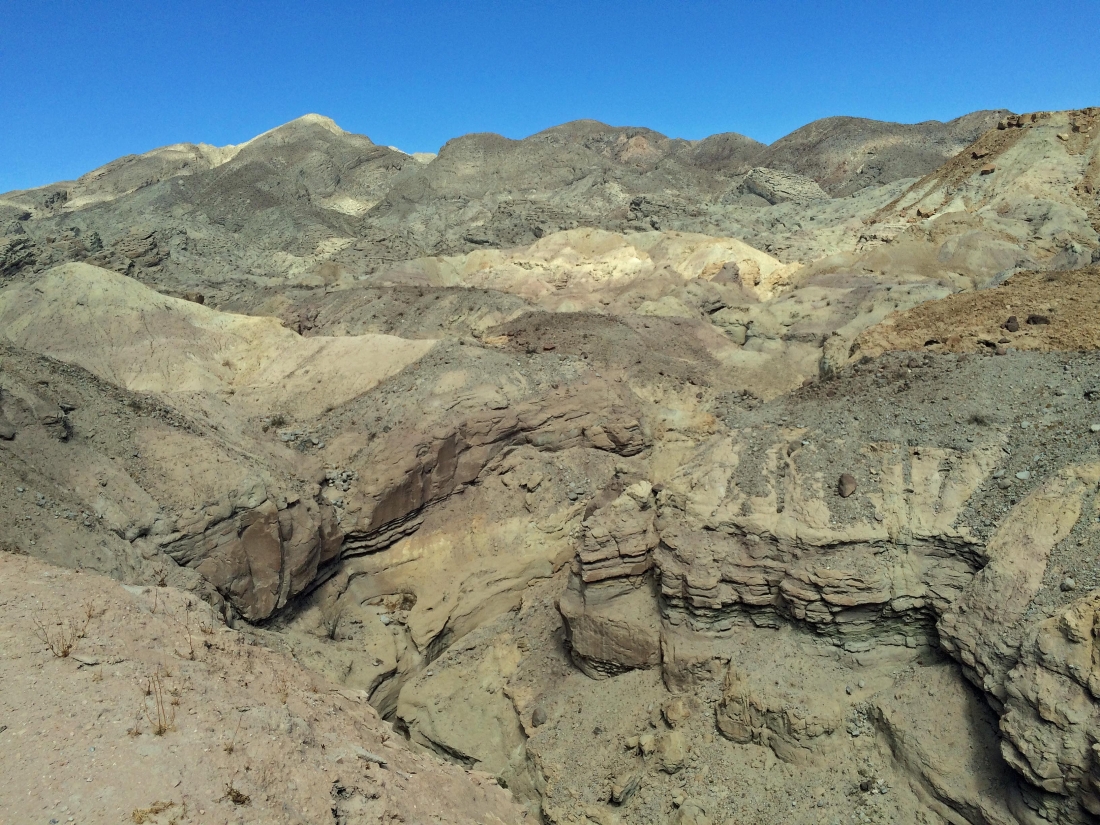
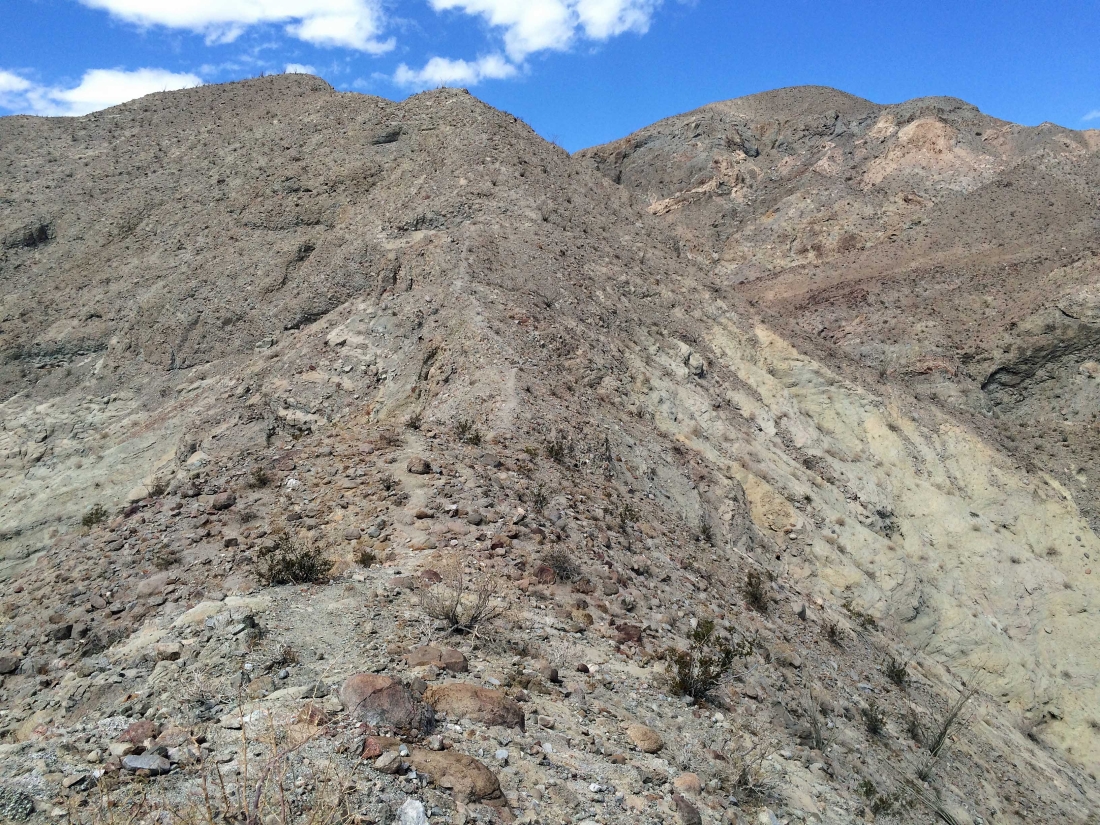
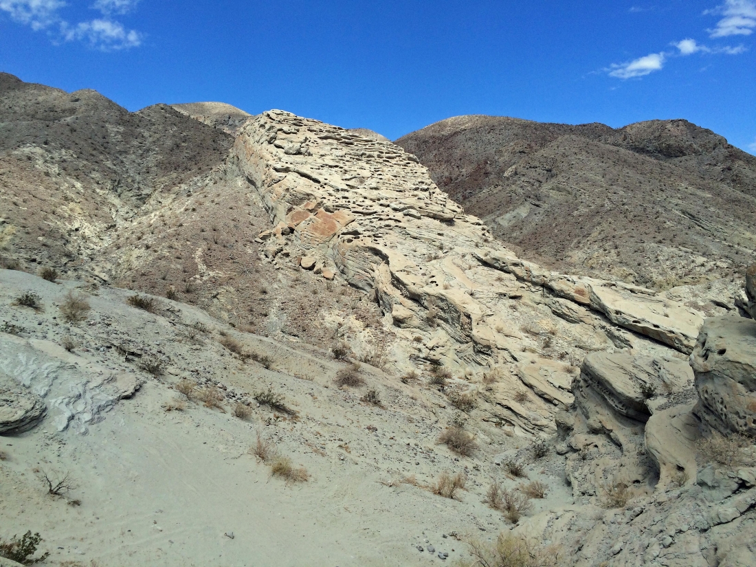
Lots of interesting terrain and colors.
|
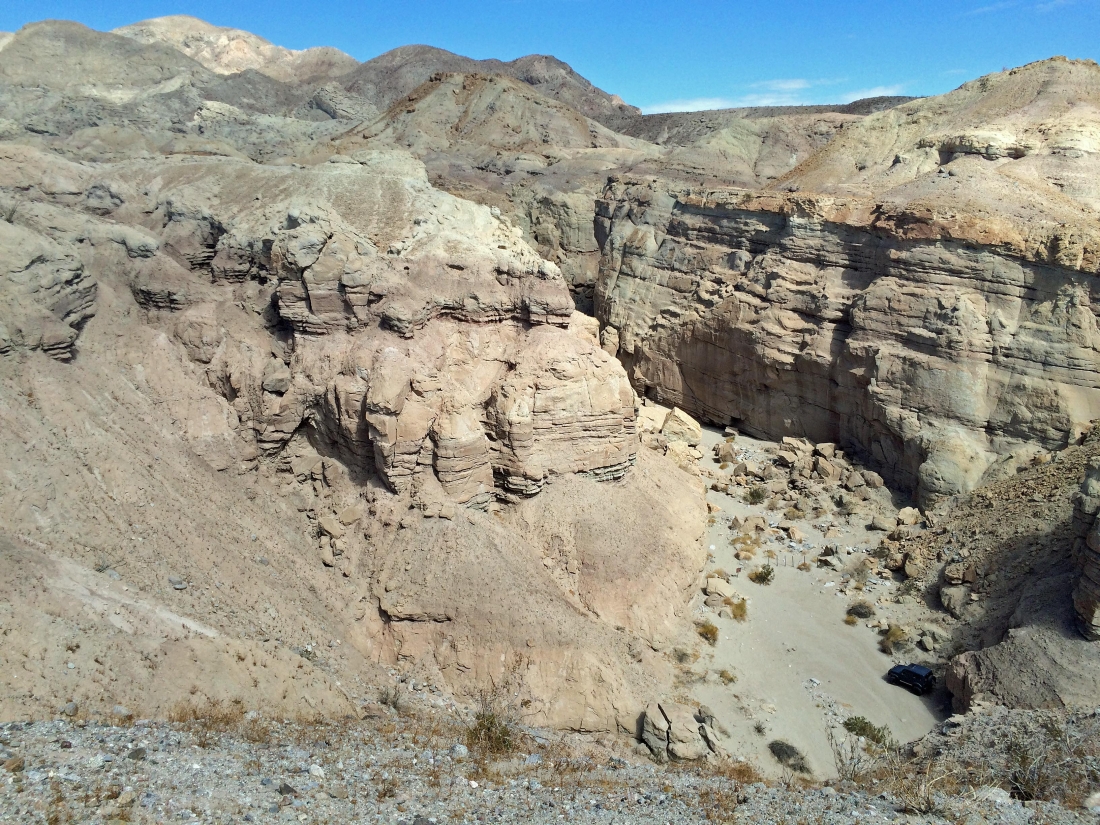
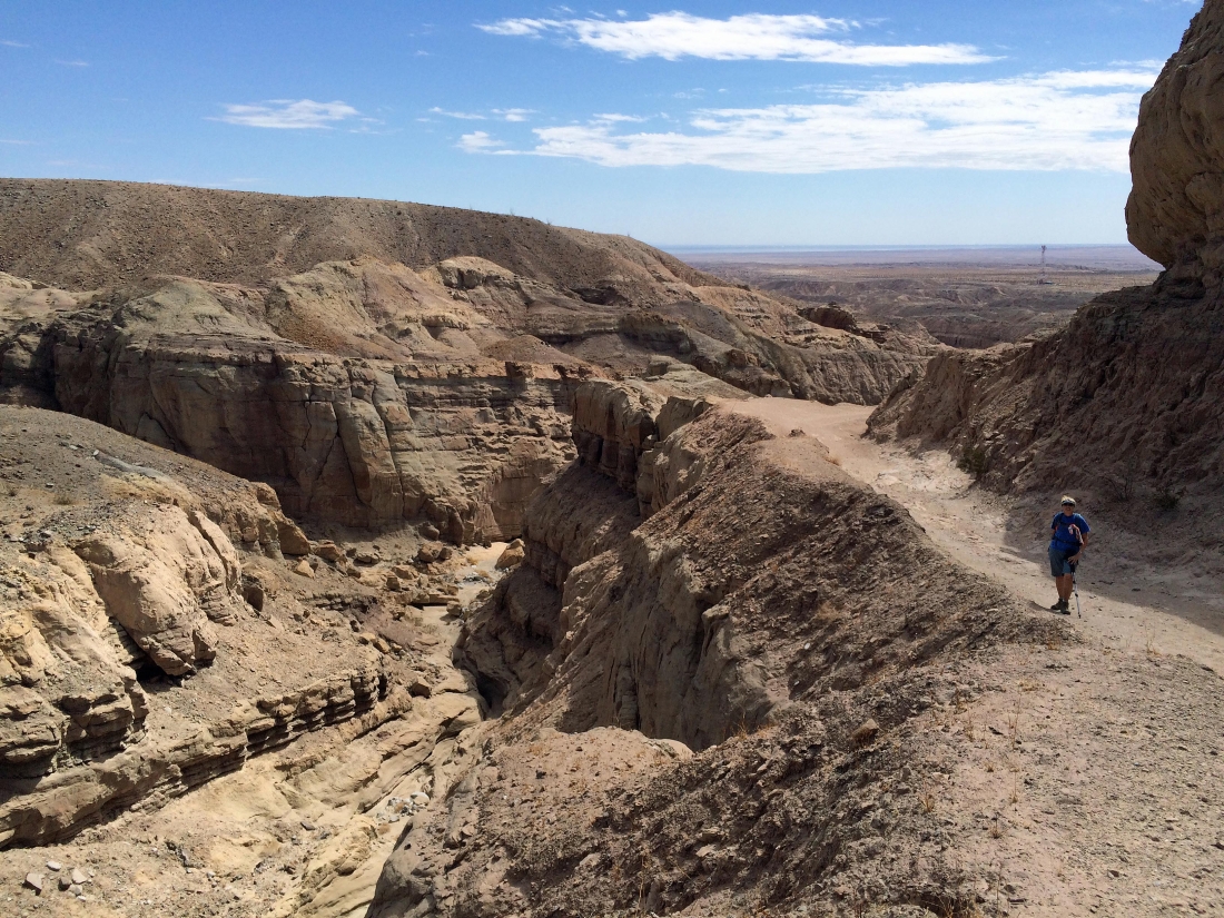
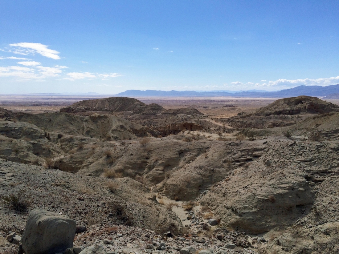
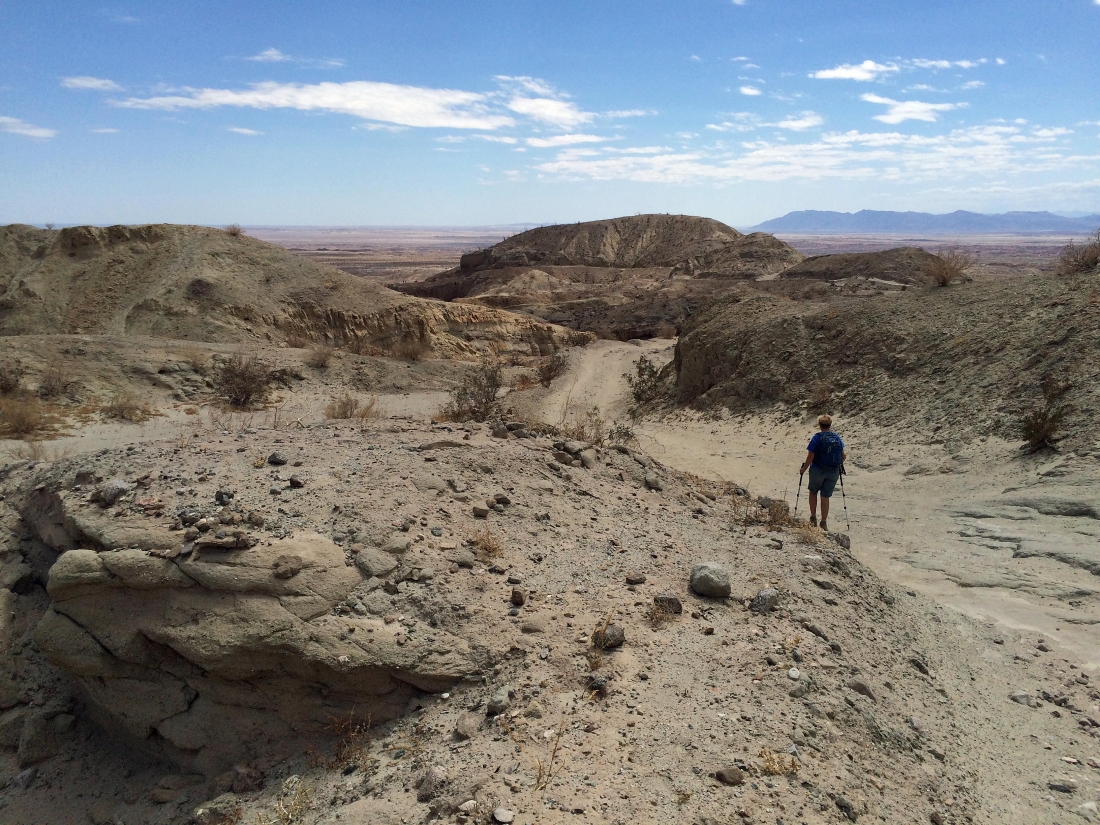
On the Calcite Mine Road... looking down into the canyon... there is a jeep parked there... the canyon will be the route we choose for our return to the car.
|
Soaking in the views from the Calcite Mine Road.
|

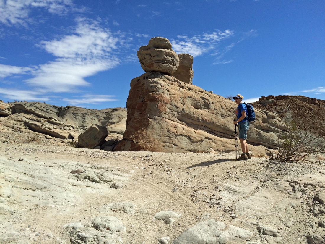
The road is in terrible shape... but we watched 4 jeeps work it.
|
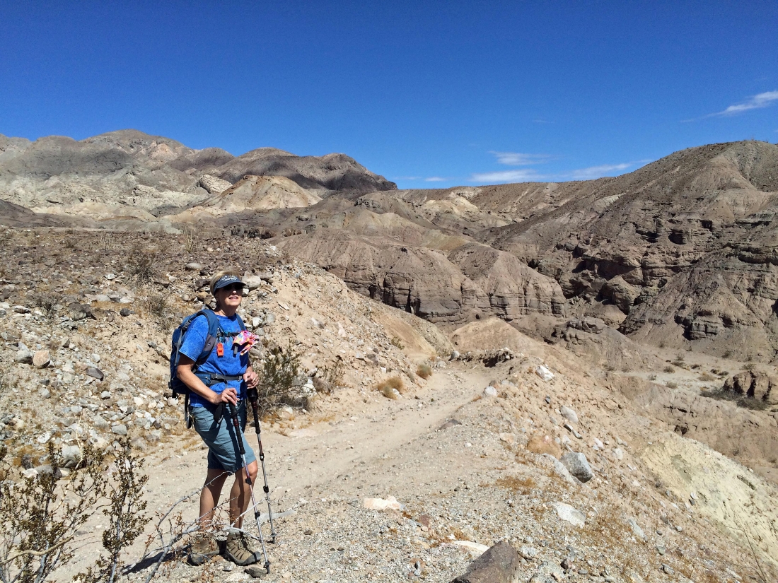
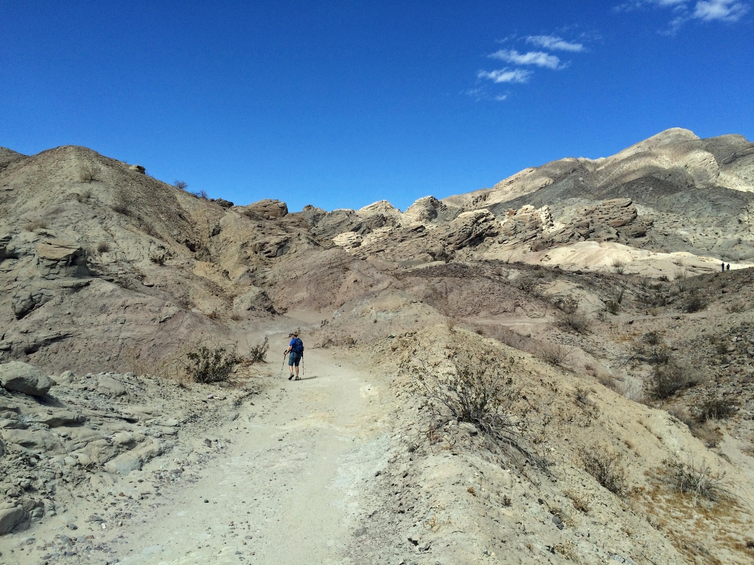
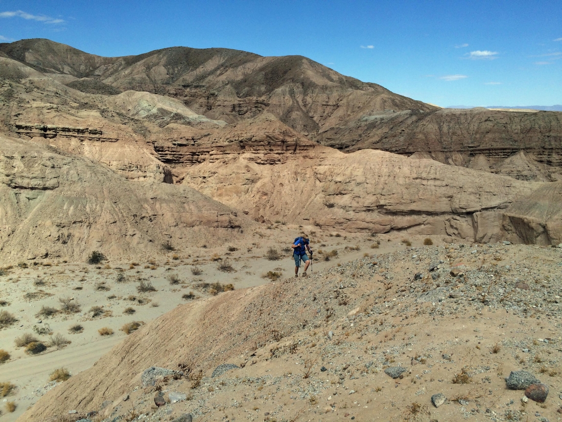
Gail coming up the Calcite Mine Road... we will return via the canyon below.
|
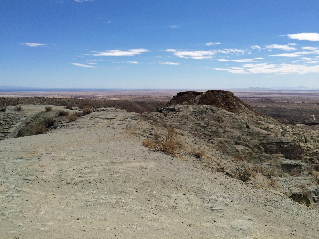
The little plateau out there in the center of the photo is Point 1122... and there is a nice trail out to it from the mine.
|

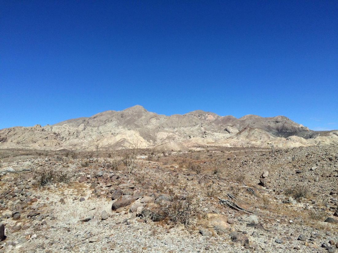
The Santa Rosa Mountains from the Calcite Mine Road... still not exactly sure where the mine area is.
|
Continuing up the Calcite Mine Road.
|
Looking back across Borrego Valley and the Borrego Badlands as we continue on our way to the mine.
|
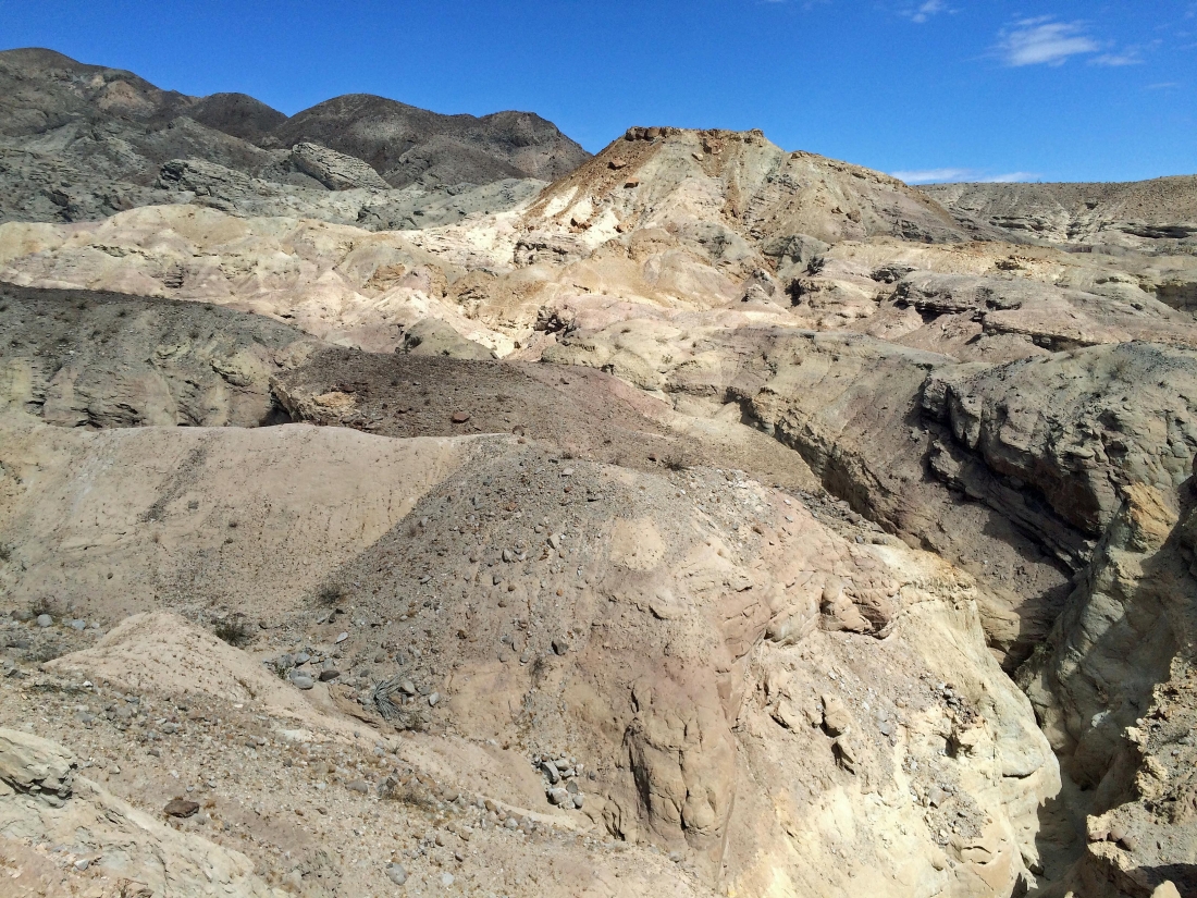
Lots of interesting rock formations on this hike.
|
Looking over at Point 1122 on the left from the mine area.
|

I'm going to continue up a little higher using the path that snakes its way up on the left.
|
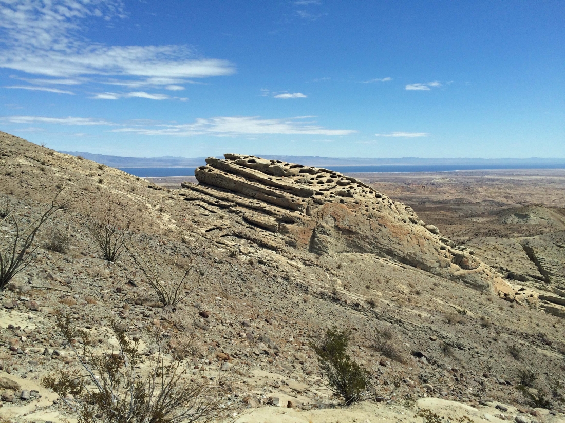
Looking over at Locomotive Rock as I continue above the mine... the Salton Sea is in the distance.
|
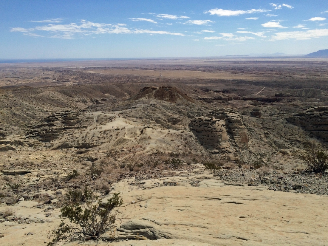
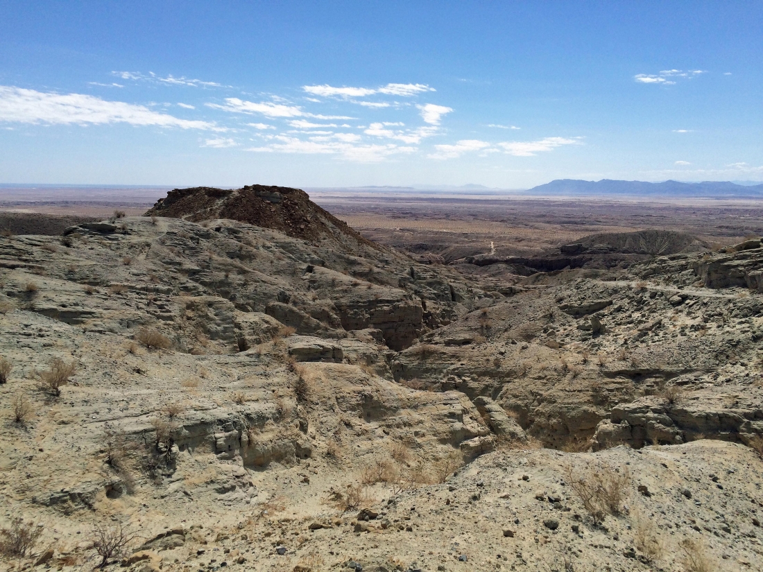
Looking down on the Calcite Mine area as I continue higher... Point 1122 is in the center of the photo.
|
A pano from my high point... the mine area is in the center of the photo... with the Salton Sea on the left horizon... and the Santa Rosa Mountains on the right horizon beyond Borrego Valley and the Borrego Badlands.
|
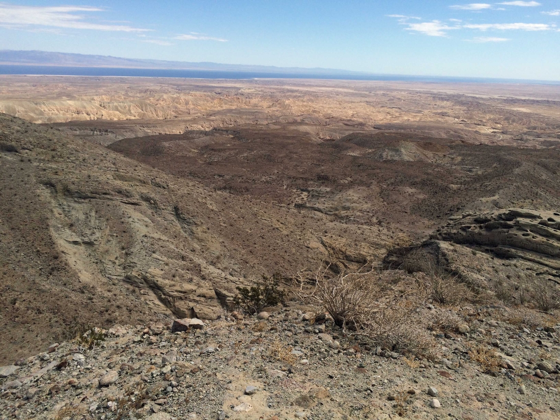
The Salton Sea from my high point above the mine area.
|
The path continues higher from my high point... but I need to get back down to Gail.
|
Back at the mine area... time to go out to Point 1122 and check it out.
|
A pano shot from Point 1122... from the Salton Sea on the left to the Santa Rosa Mountains on the right.
|
From Point 1122 I am looking back at the Calcite Mine area.
|

The Calcite Mine area from Point 1122.
|
A shot of Locomotive Rock as I head back to the mine area.
|
We are heading back down the Calcite Mine Road... looking for a place to get into the canyon.
|
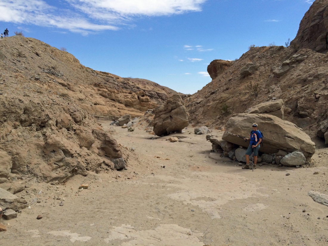
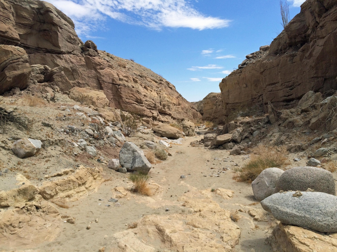
In the canyon now.
|
A few easy scramble spots in the canyon.
|
Looking down the canyon.
|
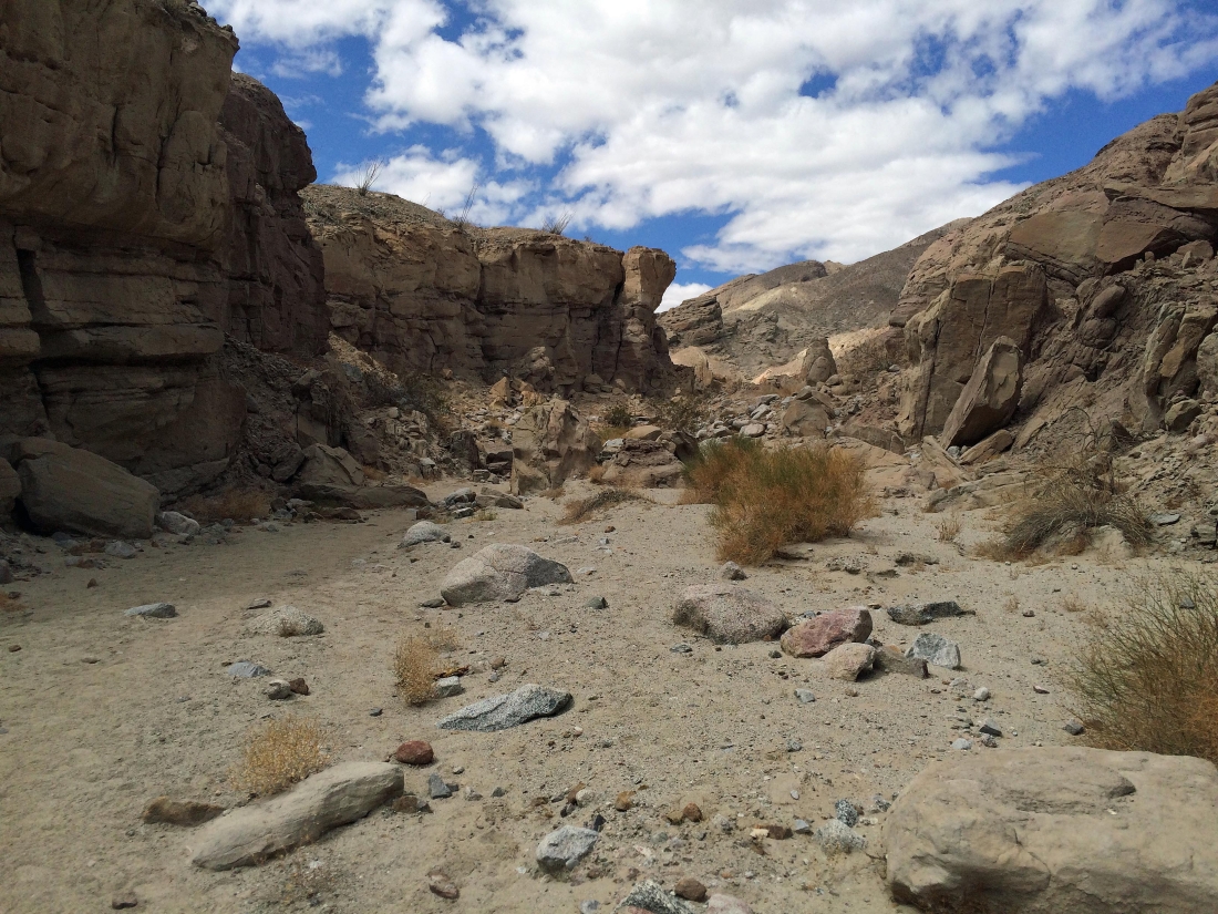
Looking back up the canyon.
|
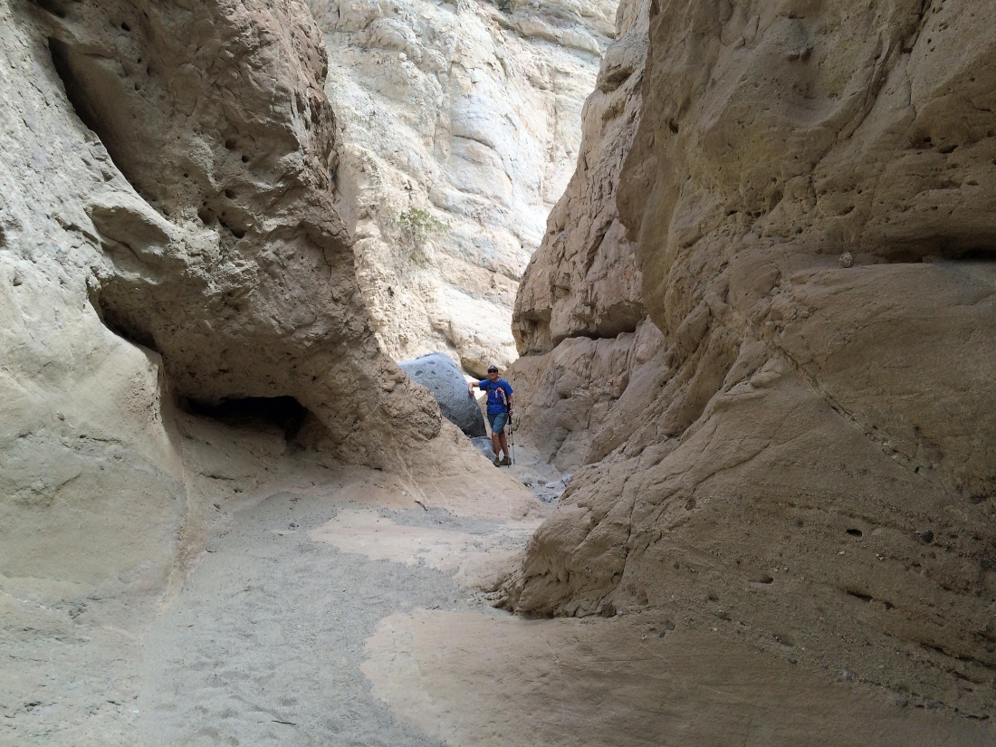
The canyon does narrow a bit... but it is not a slot canyon.
|

Continuing down the canyon.
|
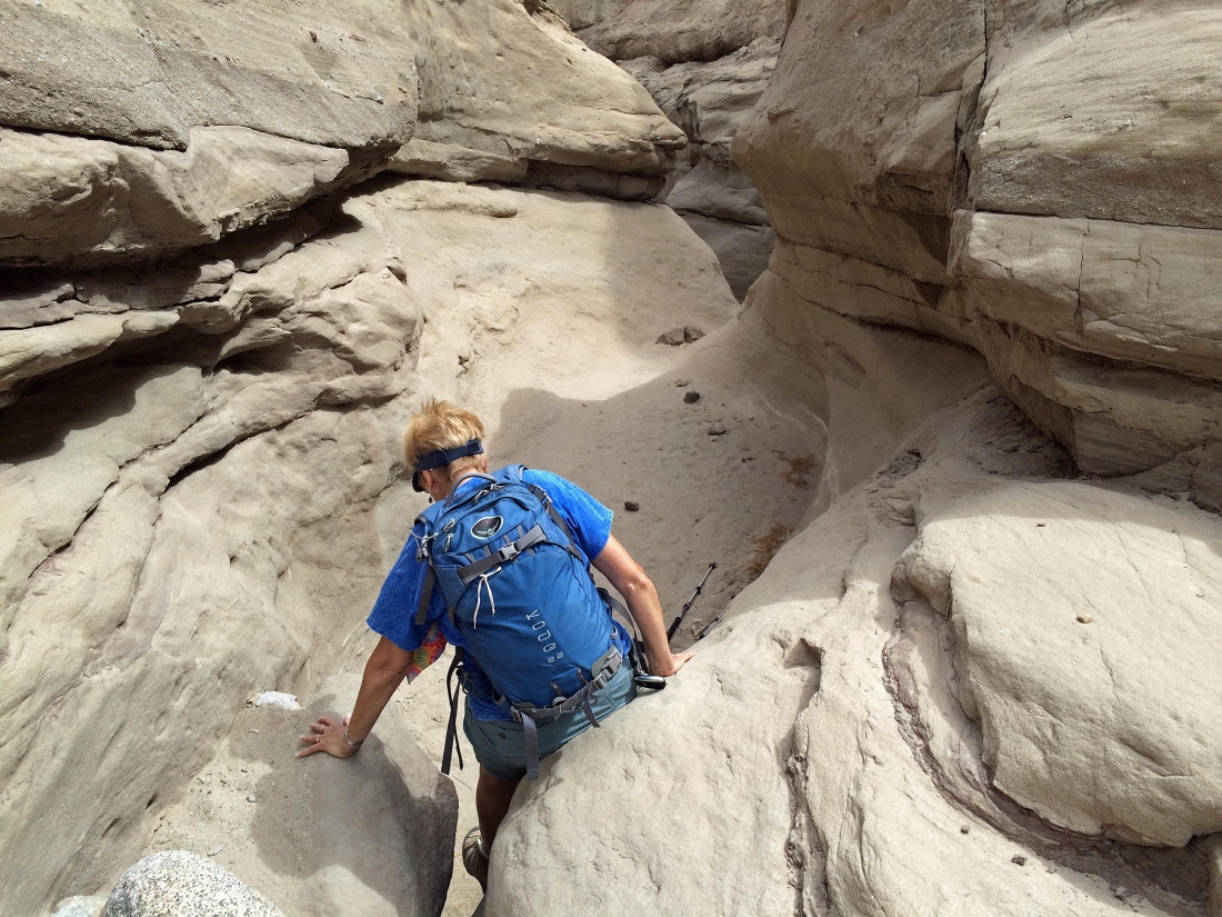
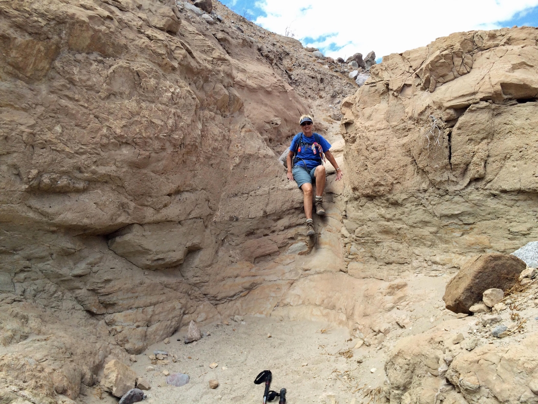
One of those scramble places.
|
Out of the narrow portion of the canyon... should be able to just follow this back to the car... right?
|

Well no... the canyon does not lead back to the car... so it is time to find a place to get out of the canyon.
|
Coming up out of the canyon.
|

Out of the canyon and looking to reconnect with the Calcite Mine Road... the Salton Sea is on the horizon.
|

From the looks of this path a lot of folks had to come up out of the canyon in order to get back to their cars.
|
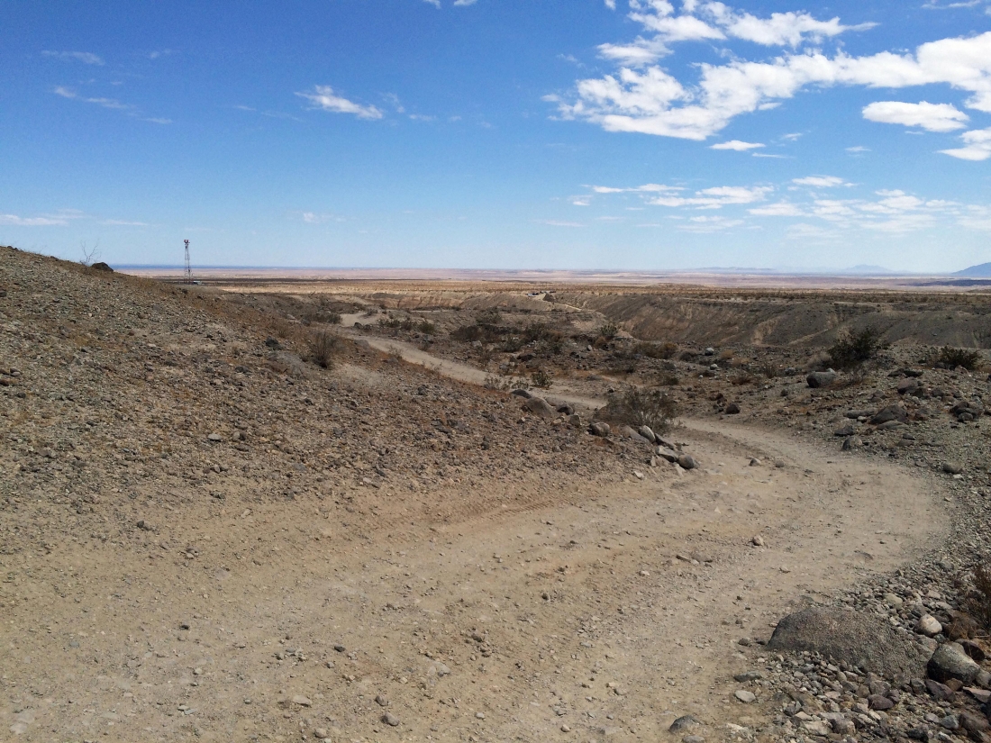
We have reconnected with the Calcite Mine Road... less than a half-mile to get back to our car.
|
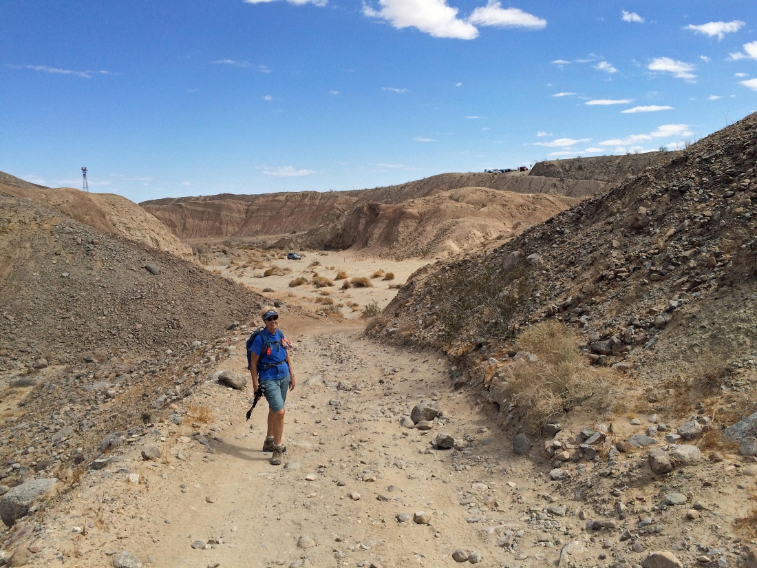
Gail is smiling... our car is down there in the canyon... now all we need to do is drive it back up to the highway... our total trip was 5.5 miles, gaining 1363 feet of elevation.
|
