Point 4097, Grand Tank and Arch Rock - 3.28.2018

The trailhead for Arch Rock is located in the White Tank Campground in Joshua Tree National Park... the parking area was full, so we parked just outside the campground on Pinto Basin Road.
|
We headed cross-country for Point 4097... deciding to do a loop hike by first heading for a high point and then finish up on the Arch Rock Nature Trail.
|
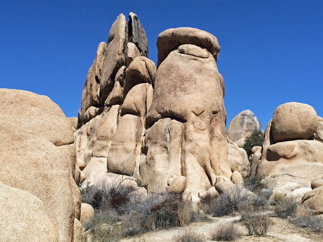
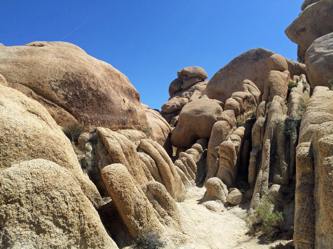
Awesome rock formations in the White Tank area of the park.
|
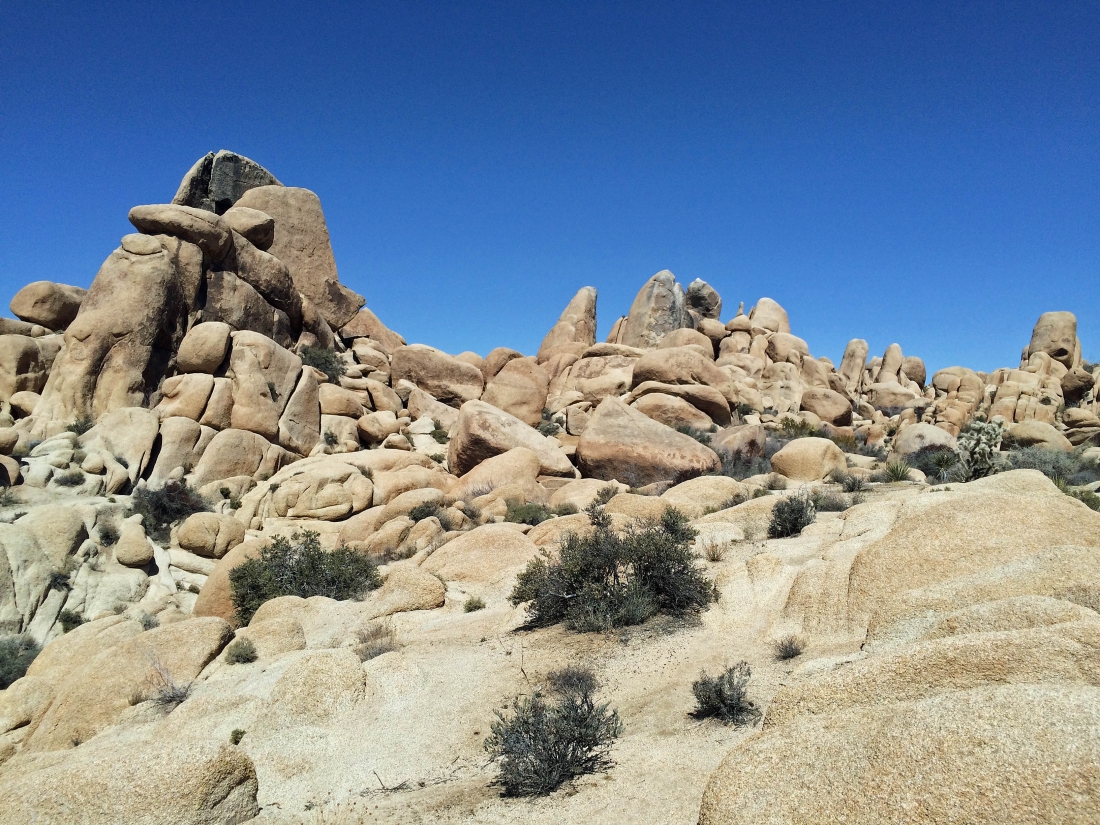
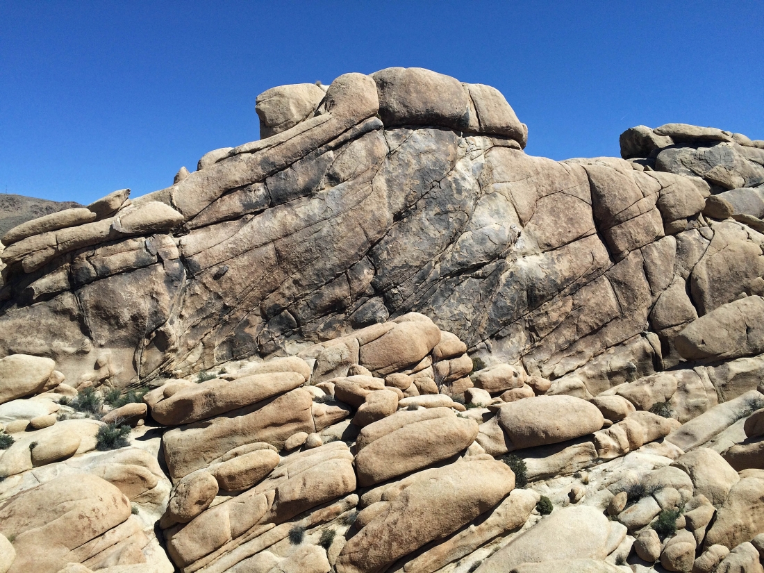
Heading cross-country for Point 4097 above.
|
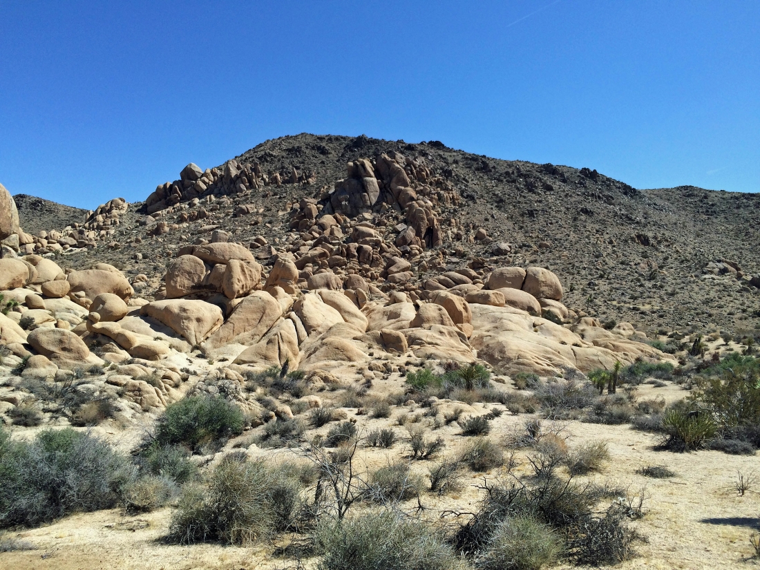
A pano shot of the White Tank area as we head up to Point 4097.
|
|
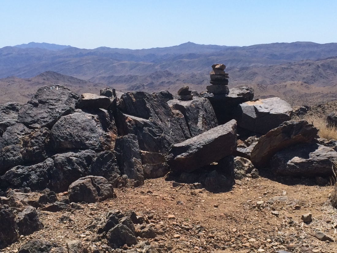
From the summit of Point 4097 we are looking SE down Wilson Canyon to Pinto Basin.
|
Looking down on the White Tank area from the summit of Point 4097.
|
Looking out to Monument Mountain on the horizon.
|
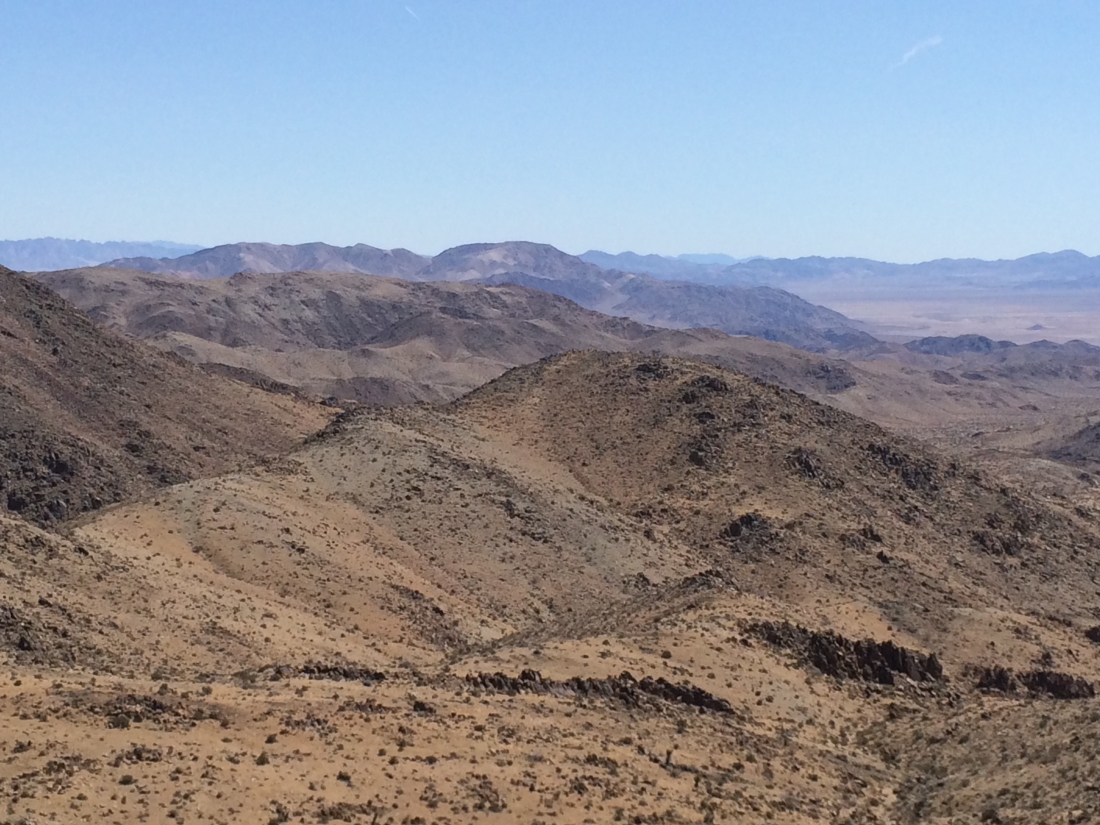
A closer look at the Pinto Mountains and Pinto Basin.
|

Heading back down to the White Tank area from our high point.
|
|
A pano shot of the White Tank area... we are looking for a small waterhole named the Grand Tank.
|
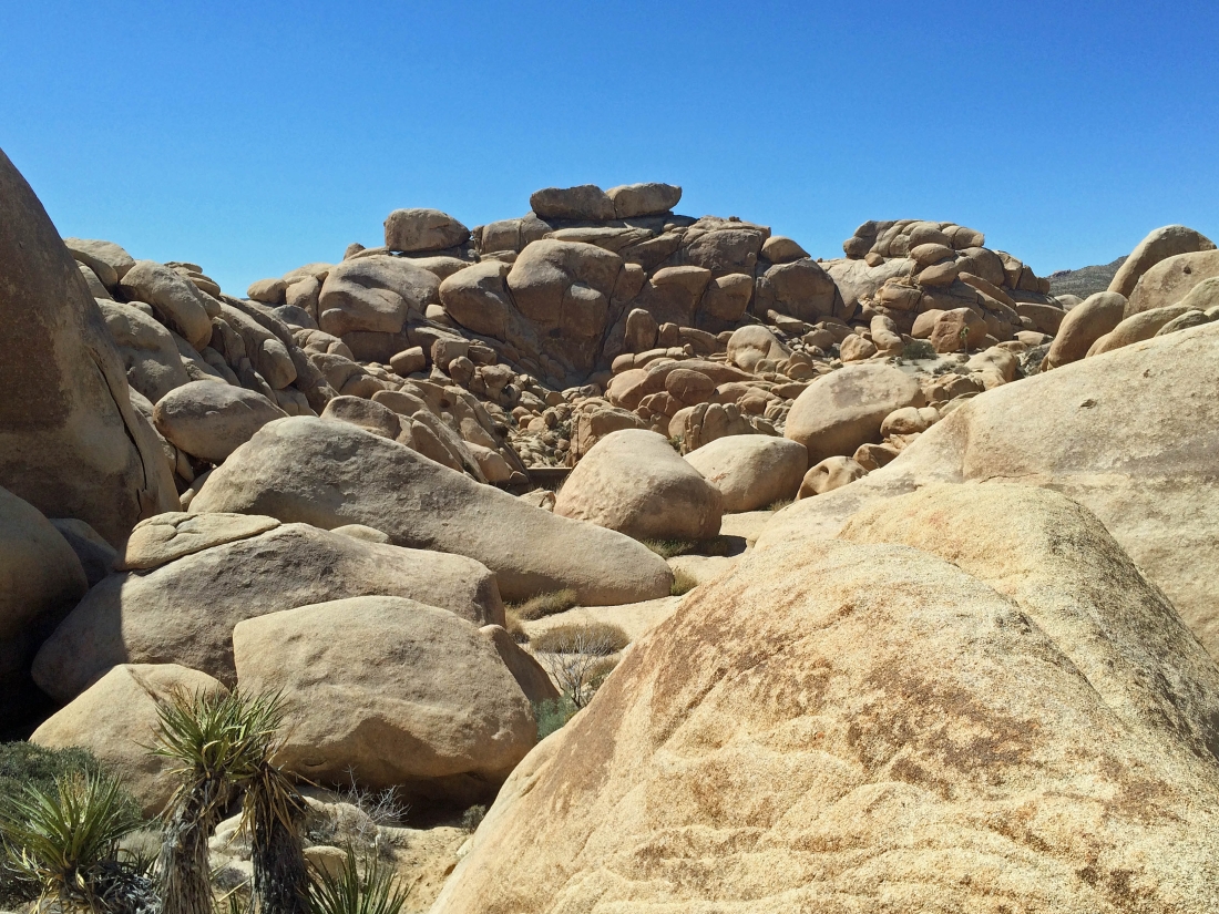
We can see what looks like a small dam in the center of the photo... lets check it out.
|
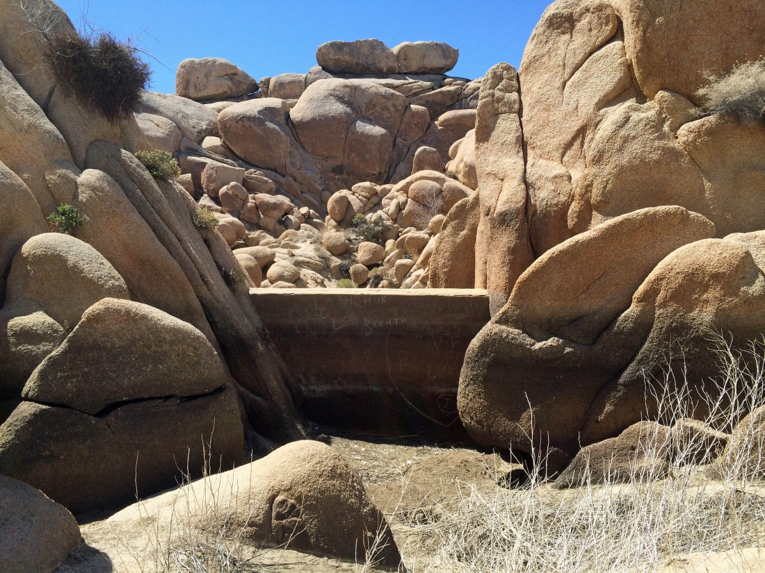
Sure enough... that is a man-made dam... there is no water on this side of the dam... so lets take a look at the other side.
|
Well... there is no water on this side of the dam either... in other words, Grand Tank was bone dry.
|
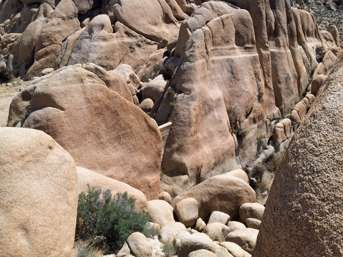
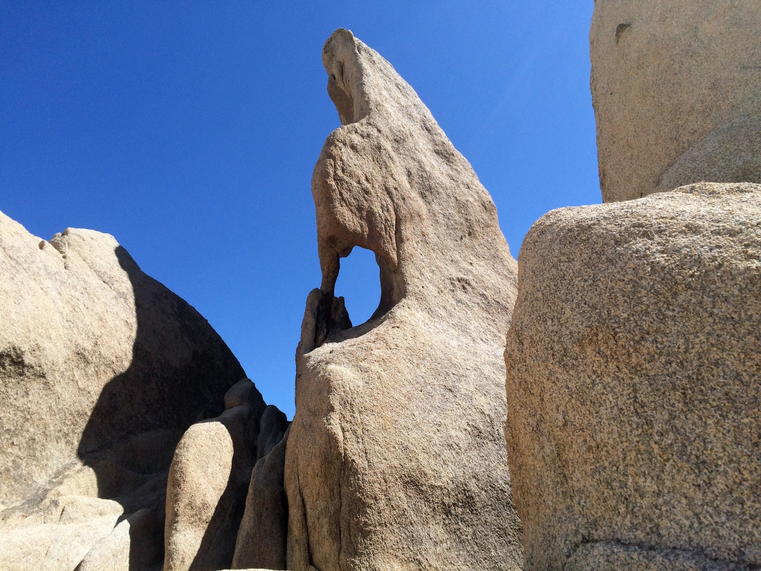
Now we are looking for Arch Rock.
|
Still searching for Arch Rock.
|
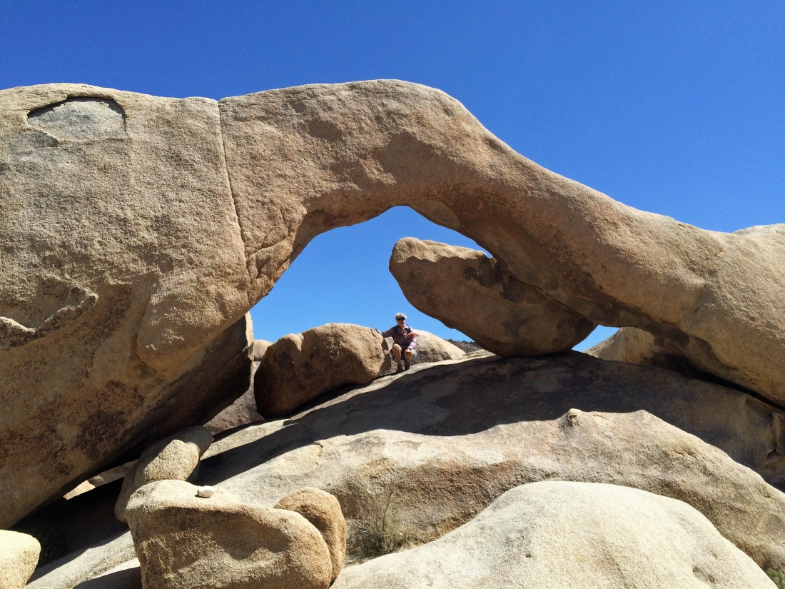
We have found Arch Rock... nice!
|
This isn't advertised as an arch... but it fits my definition.
|
A pano shot of Arch Rock.
|
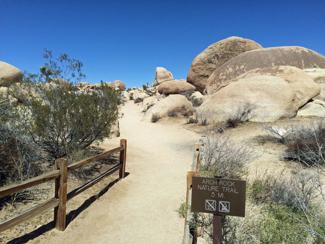
We finished our loop hike at the trailhead for the Arch Rock Nature Trail... leaving a short walk to our car on the Pinto Basin Road... our loop was 2.2 miles, gaining 569 feet of elevation.
|
