Cape Horn and Point 2141 - 4.20.2018
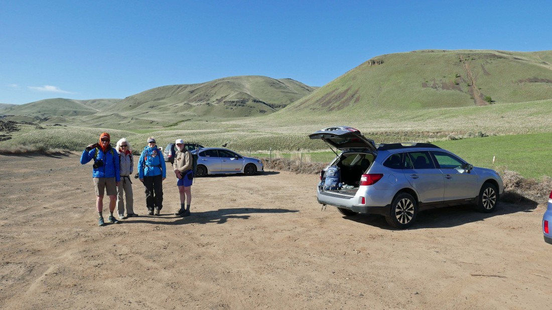
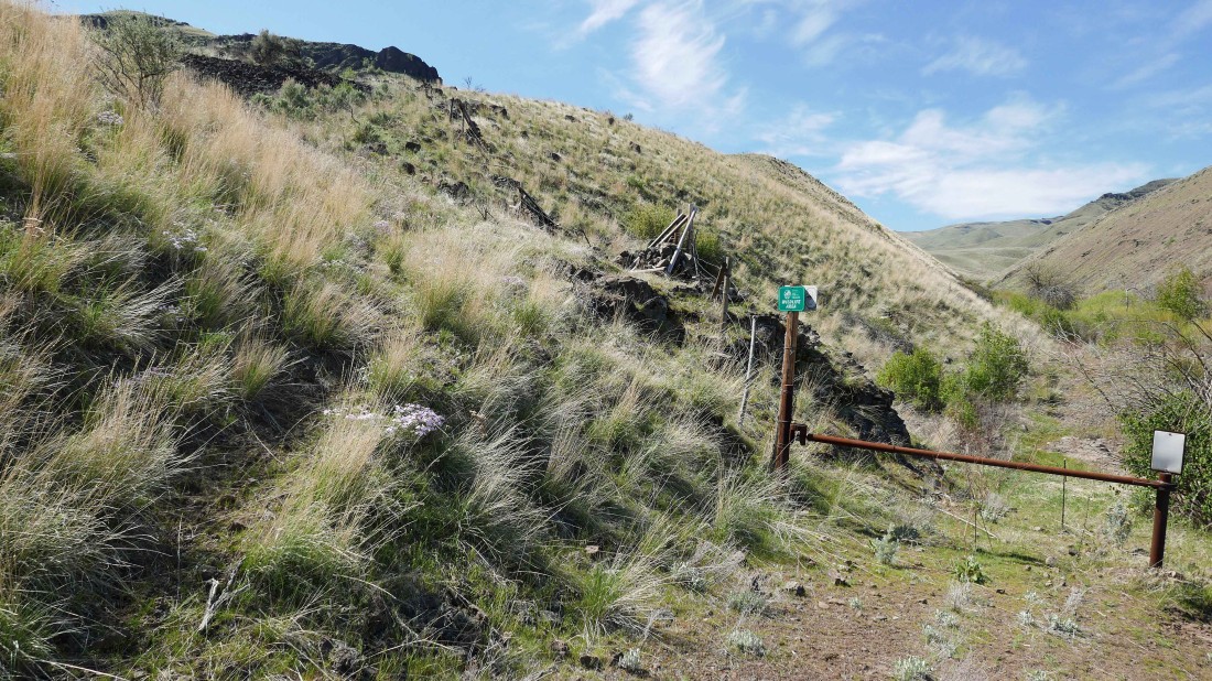
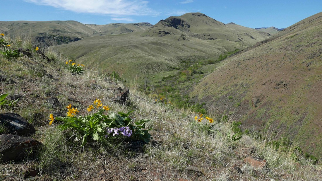
We parked at the Colockum Wildlife Recreation Area... located ~40 minutes south of Wenatchee, Washington.
|

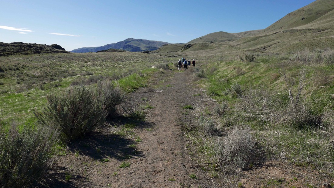
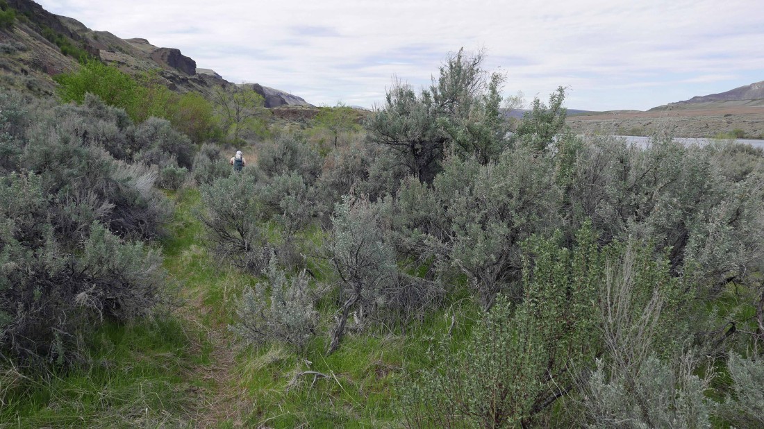
From the parking area we started hiking on the abandoned portion of Tarpiscan Road... the first washout is a stone's throw from the parking area at the mouth of Whitson Canyon... this is the second washout at the mouth of Lone Pine Canyon.
|
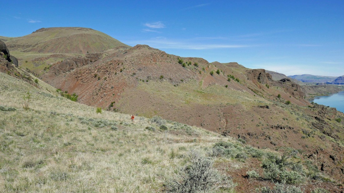
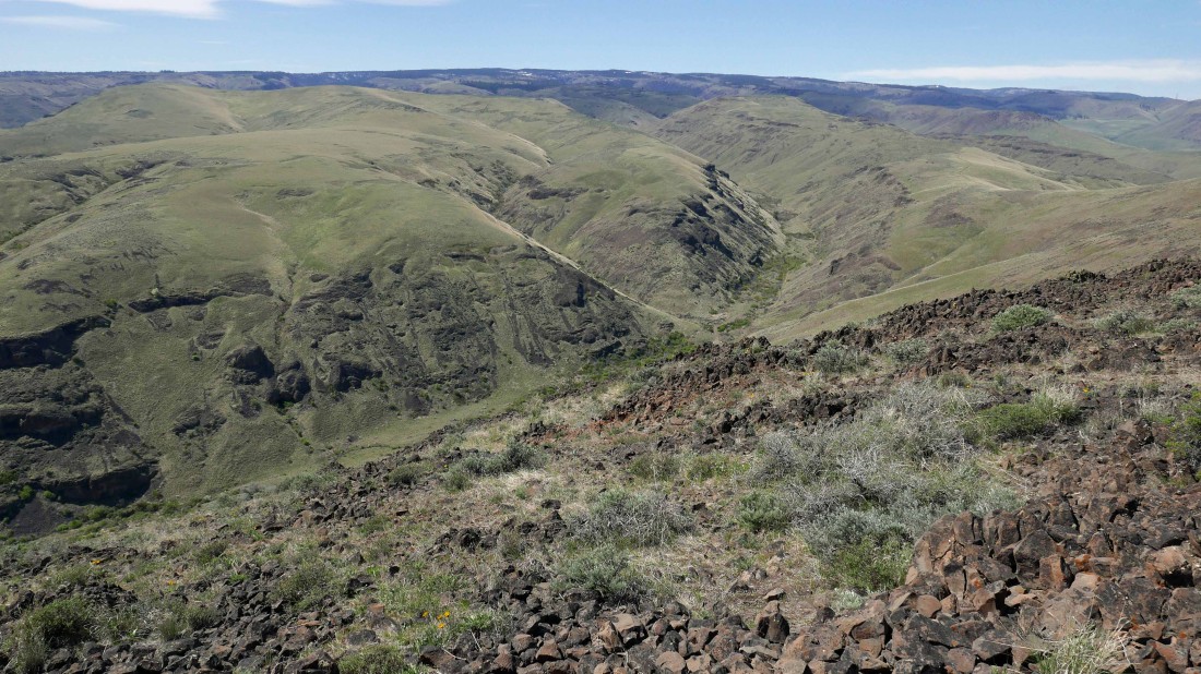
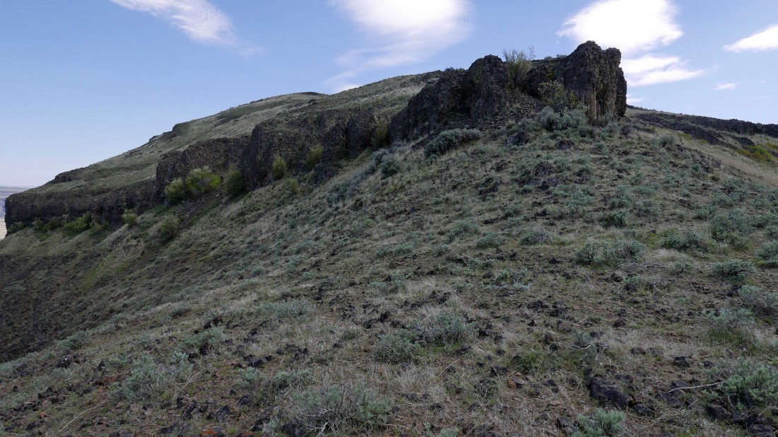
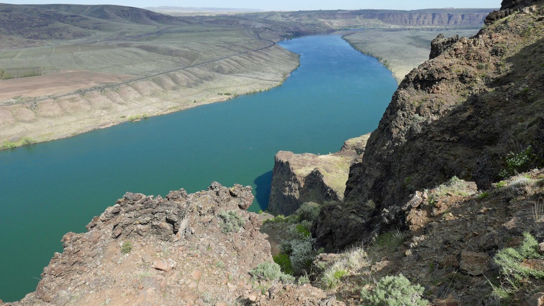
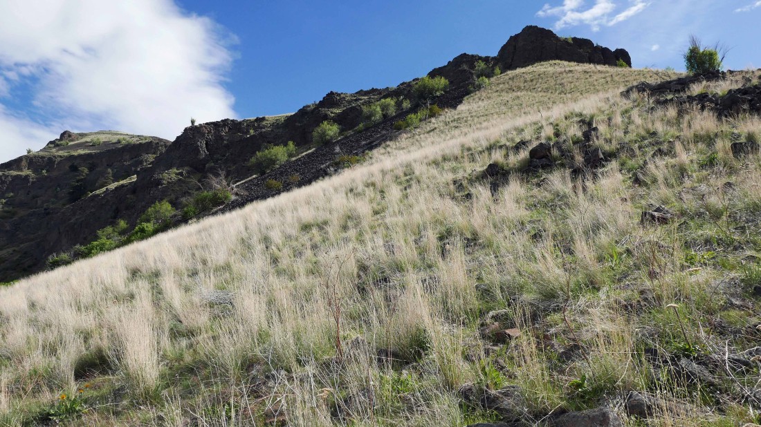
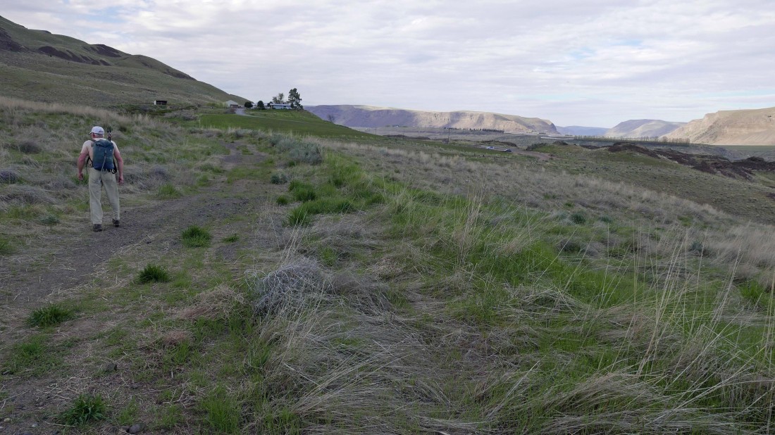
Continuing on the abandoned portion of Tarpiscan Road... our destination (Cape Horn) is in the distance in the center of the photo.
|
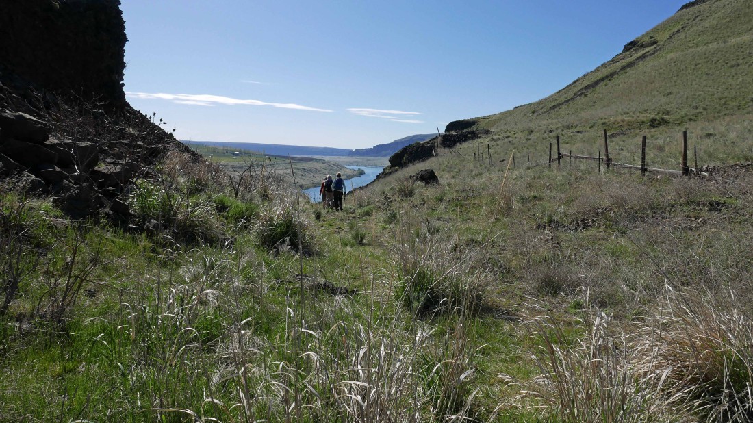
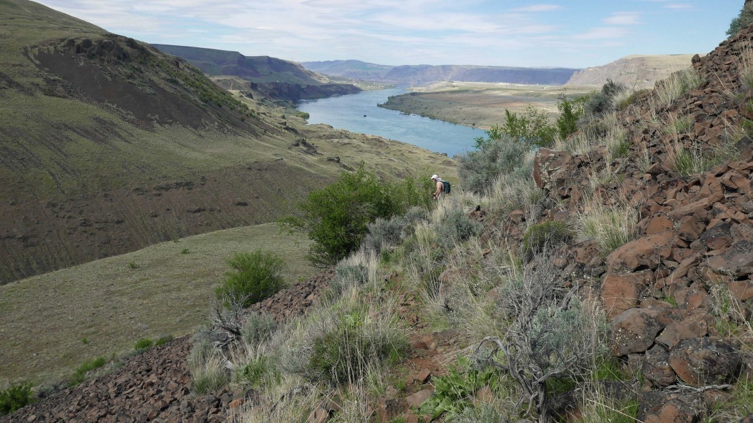
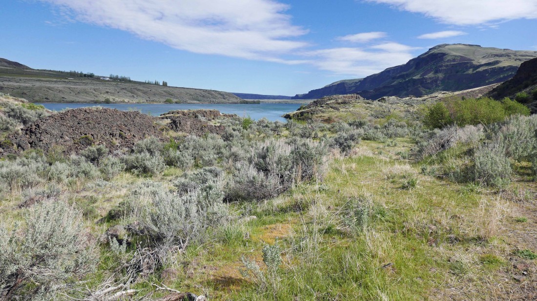
After hiking a mile or so the abandoned road heads down toward the Columbia River.
|
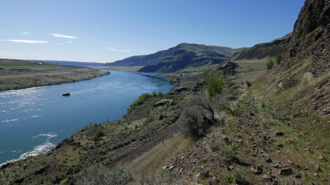
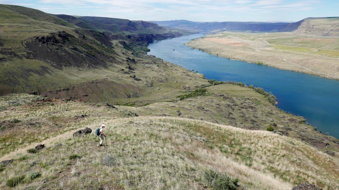
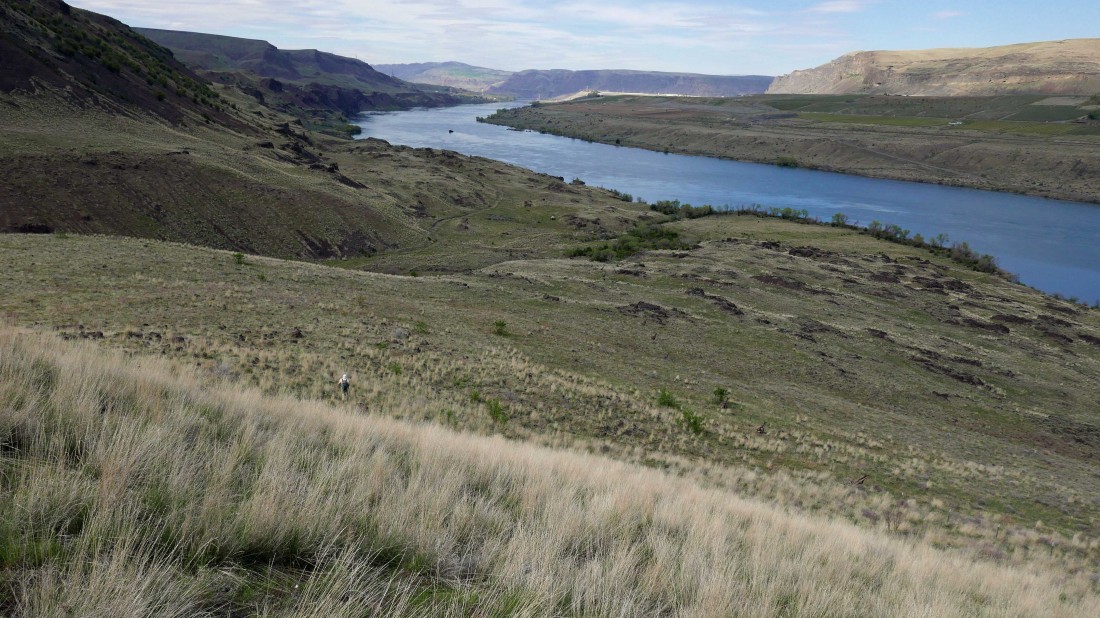
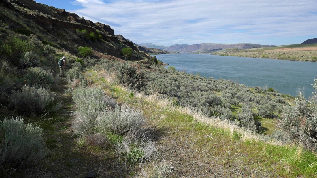
Continuing down the Tarpiscan Road... Cape Horn dominates in the distance.
|
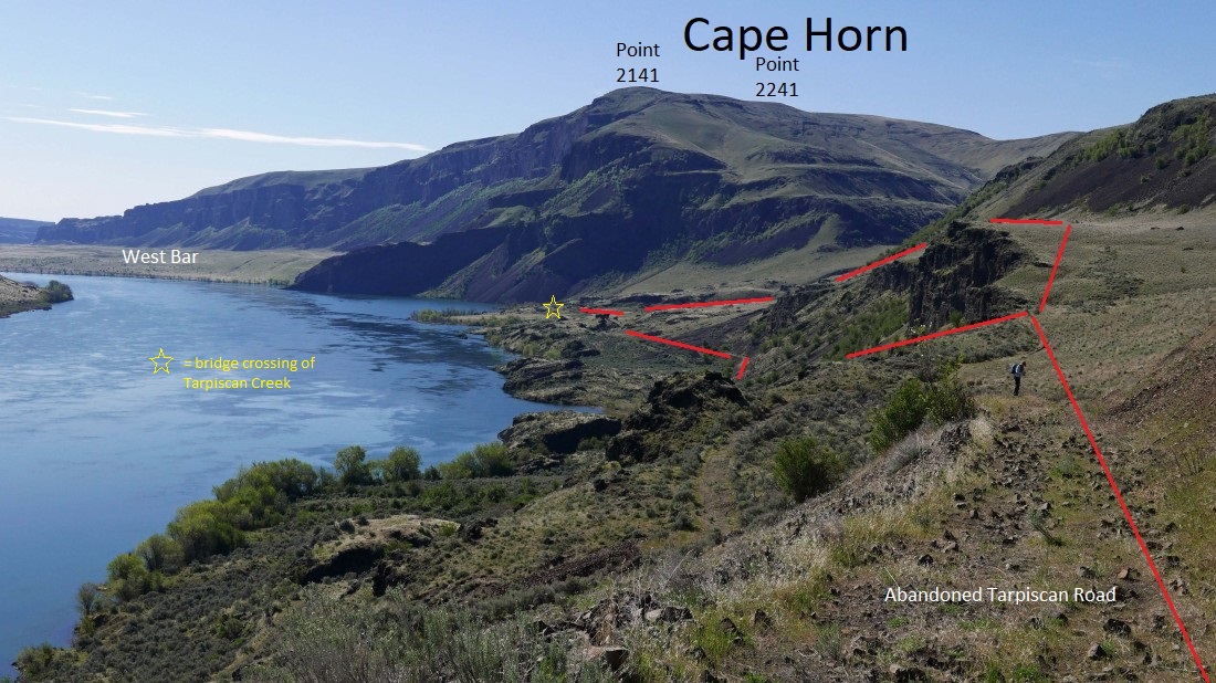
After hiking ~1.5 miles the road switchbacks and continues down toward the river... but some of us decided to stay higher up on a bench and meet up with the others at the bridge crossing of Tarpiscan Creek in the distance.
|
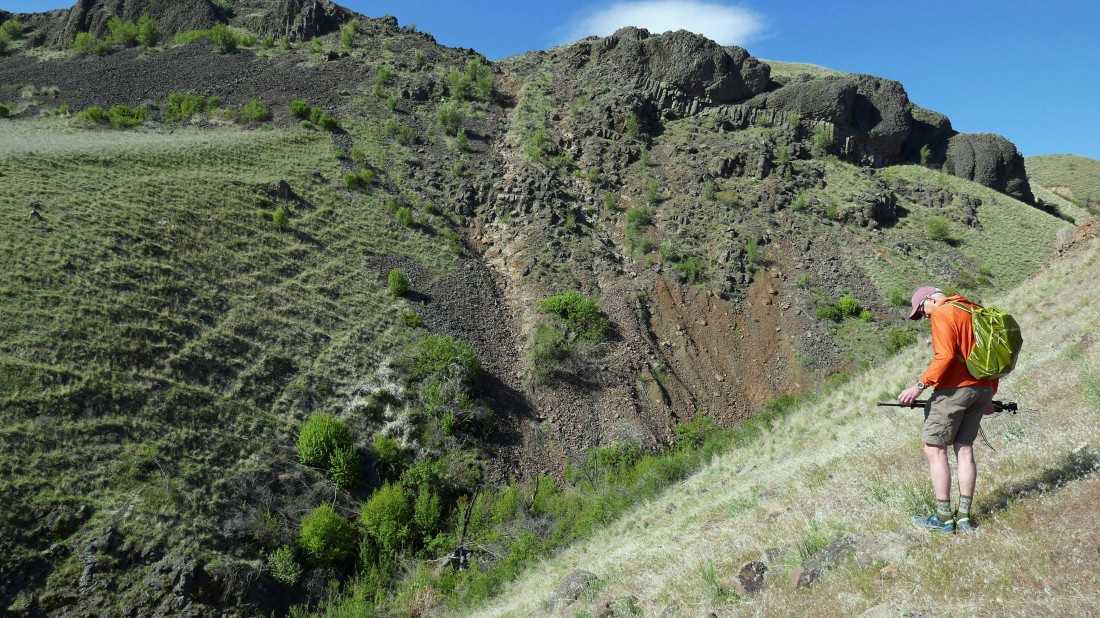
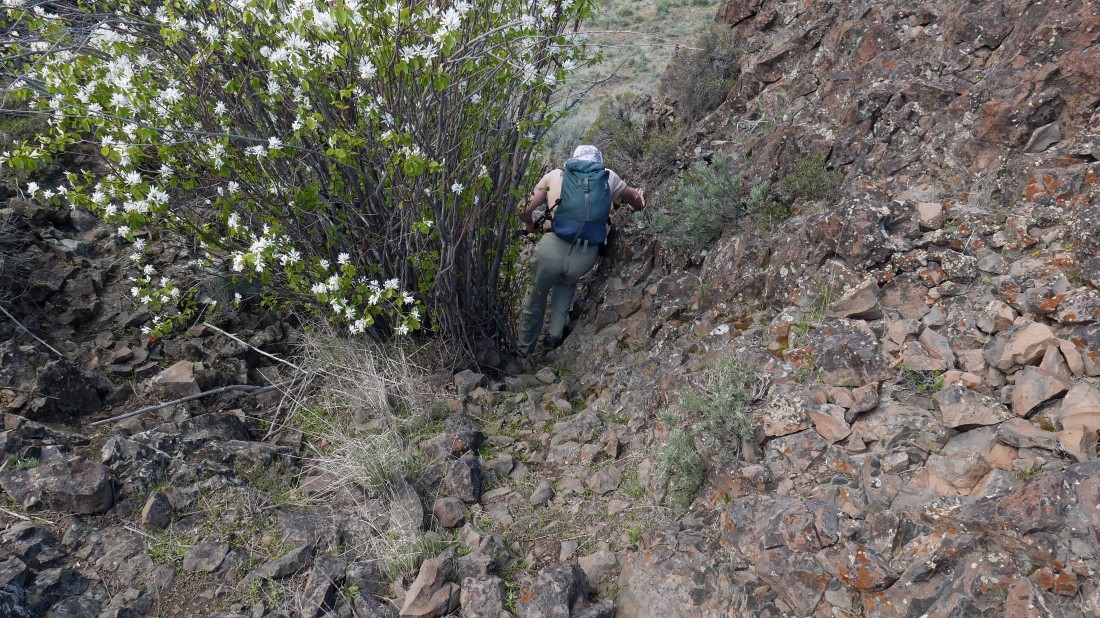
The problem with staying high on the bench is that it requires some Class 2/3 scrambling to get across Davies Canyon.
|
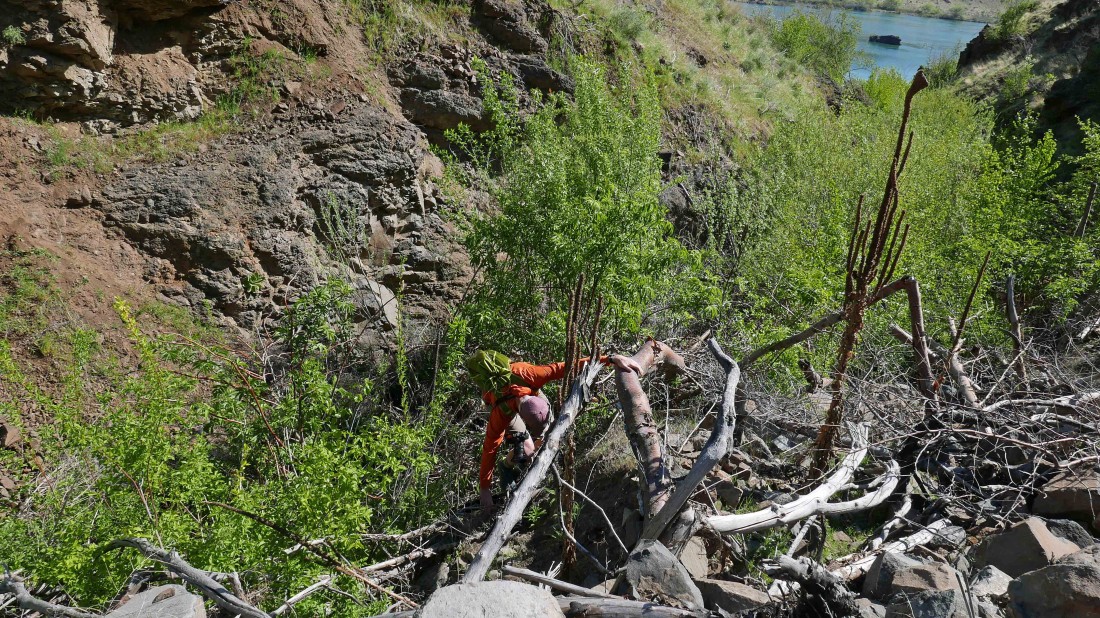
Marc dealing with the crossing of Davies Canyon.
|
We have crossed Davies Canyon and are looking back at the place we crossed the canyon... very steep.
|
I'm looking back and watching Marc hiking on the bench after just crossing Davies Canyon.
|
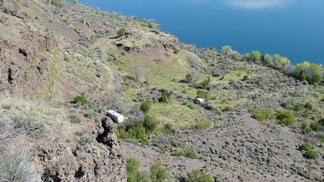
Hiking on the high bench and looking 350 feet below at the rest of our group as they continue on the abandoned Tarpiscan Road.
|
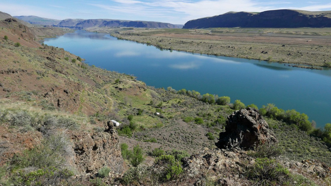
Looking back up river toward Wenatchee.
|

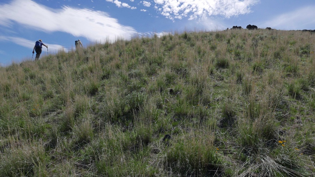
Continuing south on the high bench... with every step getting us closer to Cape Horn.
|

Continuing south on the high bench.
|

Artist at work.
|
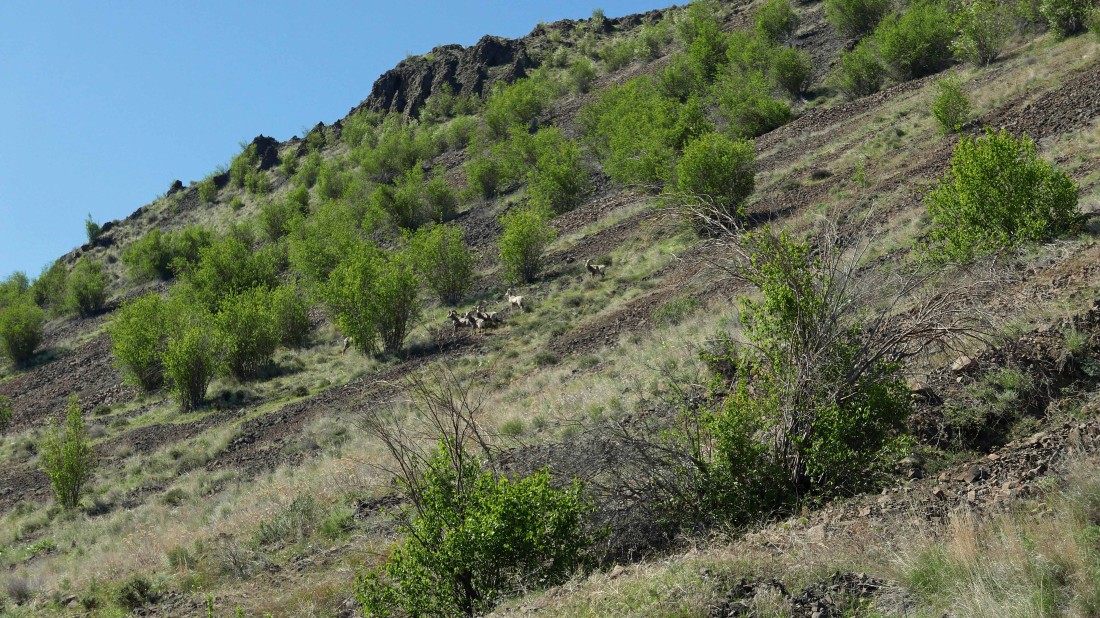
Continuing south on the high bench... what is that up on the hillside?
|
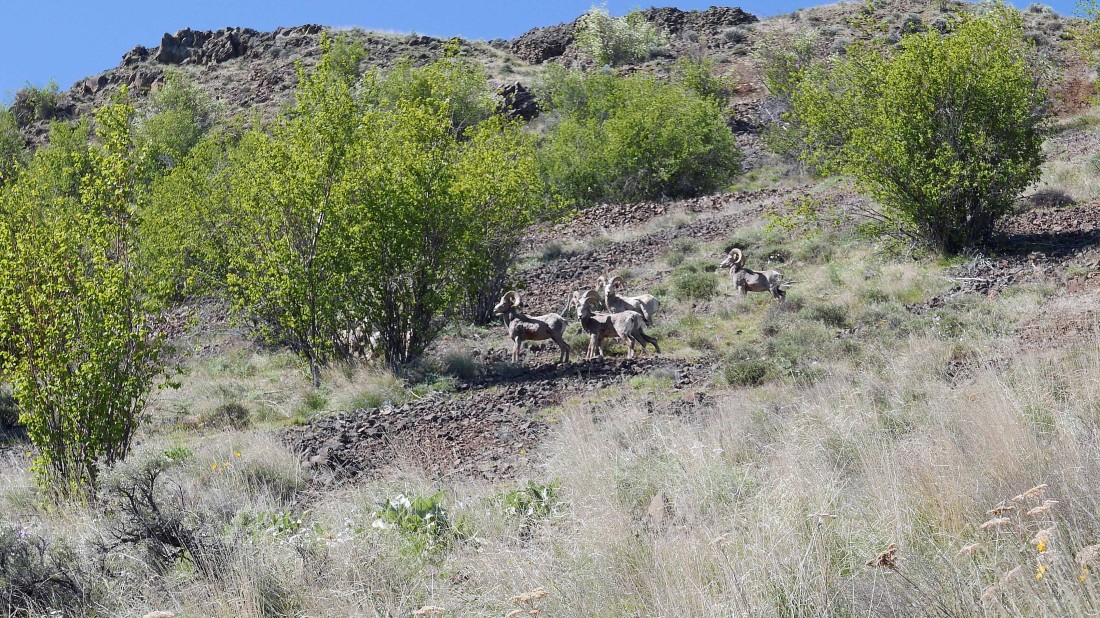
Well... that would be a small group of Bighorn Sheep... they kept an eye on me, but didn't seem at all concerned with me being in their home.
|

Time to leave the high bench and drop down to reconnect with the rest of our group.
|
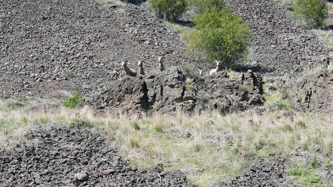
As I dropped down, so did the Bighorn Sheep.
|
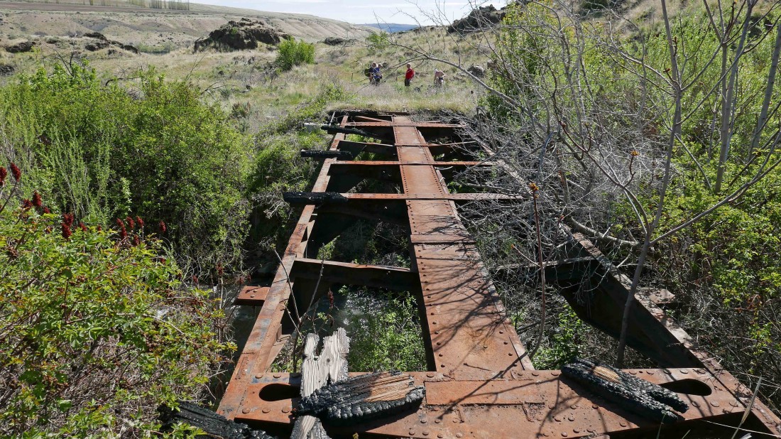
The bridge crossing of a very fast flowing Tarpiscan Creek.
|
Looking up the Tarpiscan Creek drainage as we leave the abandoned road and head uphill on the left.
|

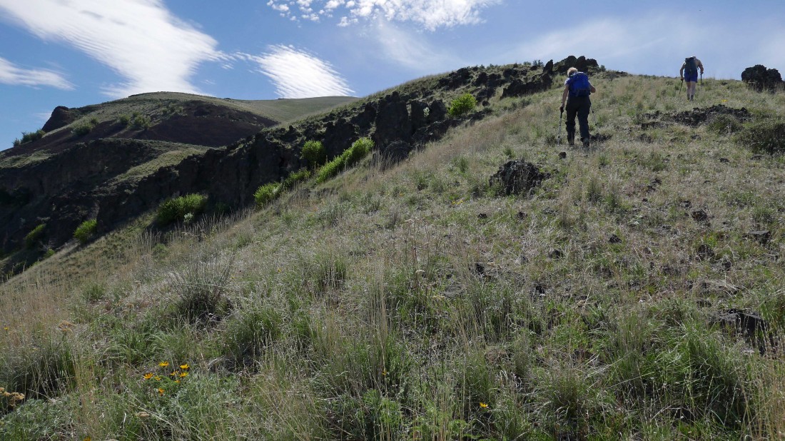
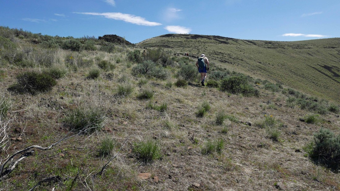
Now it will be steady uphill hiking to Point 2141 on the north end of Cape Horn.
|
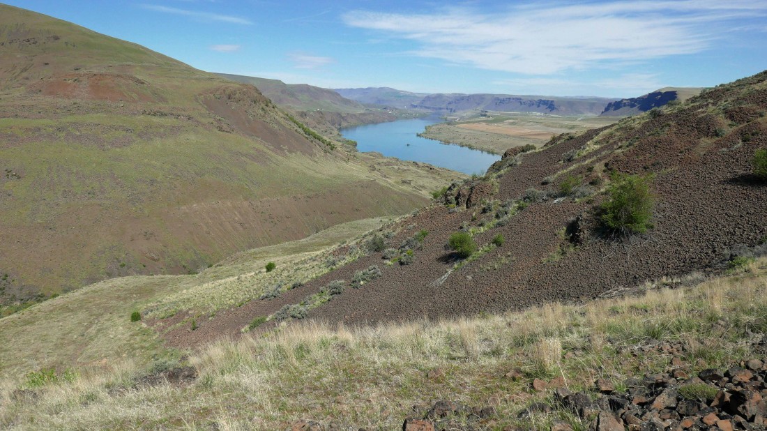
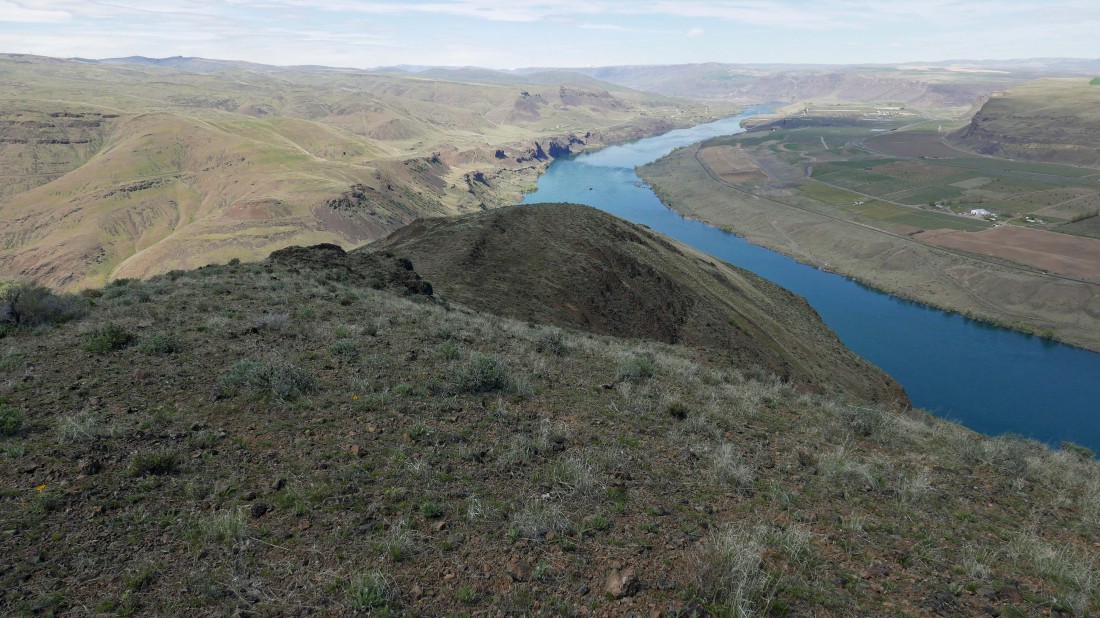
A pano shot of the Columbia River as we continue up Cape Horn.
|
Gaining elevation and looking over at the Tarpiscan Creek drainage on the right.
|
Looking back as we continue on a pretty good path... choosing to avoid as much of the talus as possible.
|
Continuing up.
|
Point 2141 and the summit of Cape Horn are up there somewhere.
|

Constant views of the Columbia make the uphill travel more entertaining.
|

Still continuing up... looking over at the Tarpiscan Creek drainage on the right... with the south fork of Tarpiscan Creek below and to the left.
|

Still gaining elevation... now we can see Point 2141 at the north end of the Cape Horn summit area.
|
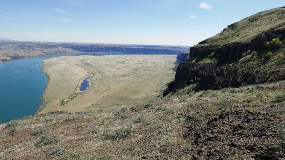
Continuing up and looking down on West Bar (the flat area between the river and the cliffs of Cape Horn).
|
Getting closer to Point 2141.
|

We have reached Point 2141 and will make the 1.3 mile hike over to the true summit which will be 100 feet higher than where we are now.
|
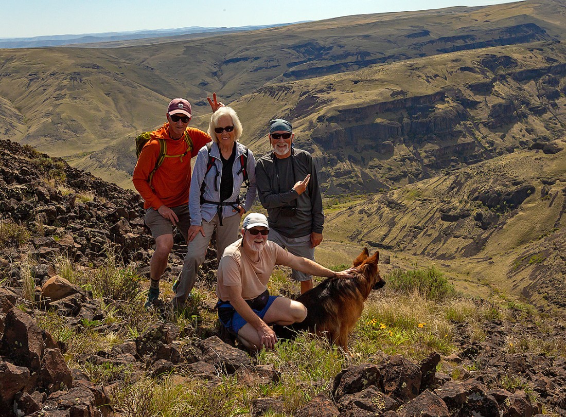
Marc took this photo of us on the summit of Cape Horn.
|
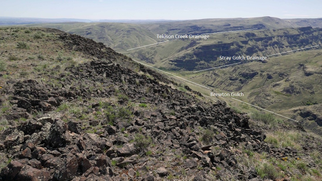
Looking down on Brewton Gulch from the summit of Cape Horn.
|
More of Brewton Gulch from the summit of Cape Horn.
|
We are standing on Point 2141 after having made the 1.3 mile hike back from the Cape Horn summit.
|
Looking north as we head back down from Point 2141.
|
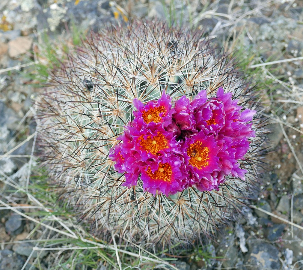
Foxtail Cactus.
|
Continuing down from Point 2141.
|
Continuing down from Point 2141 and looking back at our route.
|
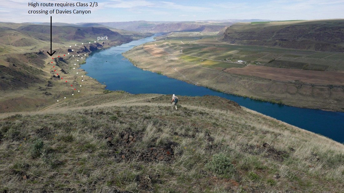
Continuing down from Point 2141... the white dots show the approximate route of the abandoned portion of Tarpiscan Road... the red dots show the approximate route of our high bench.
|
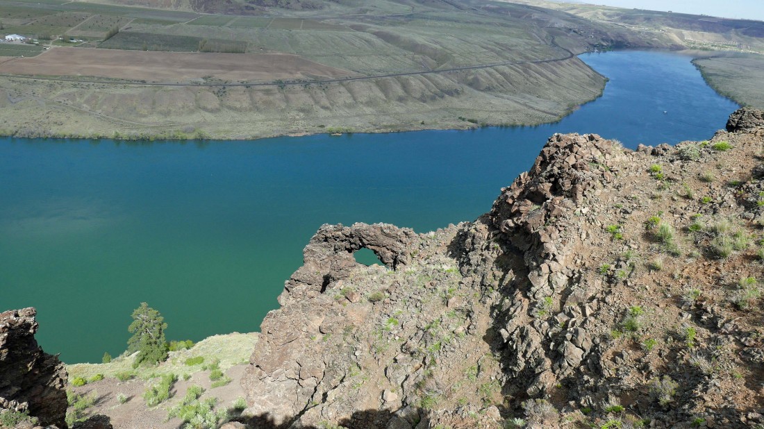
Is that an arch?
|
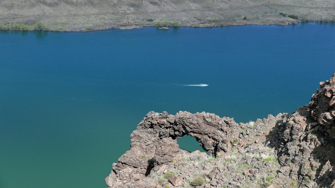
Looks like an arch to me.
|
Looking south as we continue down from Point 2141.
|

We were trying to stay as close to the cliff edge as possible, but the terrain kept pushing us to our left (away from the river) as we continued down.
|
Continuing down from Point 2141.
|
Continuing down from Point 2141.
|
Continuing down from Point 2141.
|
Looking back at our route down as we near the Tarpiscan Road.
|

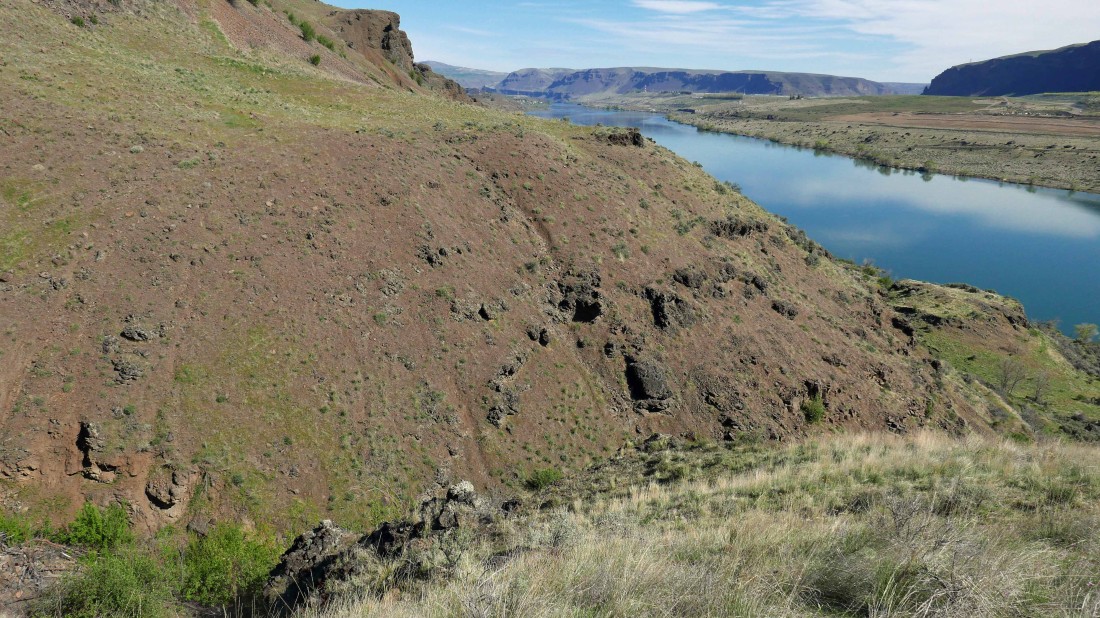
Back down on the abandoned Tarpiscan Road... looking back at Cape Horn... we used the red route on the way up... and the yellow route on the way down.
|
We chose to return using the abandoned Tarpiscan Road so as not to have to deal with the Class 2/3 crossing of Davies Canyon that we used earlier in the day on the high route.
|
Looking back at Cape Horn as we continue on the Tarpiscan Road.
|
Nearing the point where the road will take us up ~400 feet.
|
Almost back to the car... our trip was 12.4 miles, gaining 2416 feet of elevation.
|
