Tarzan Butte - 4.26.2018
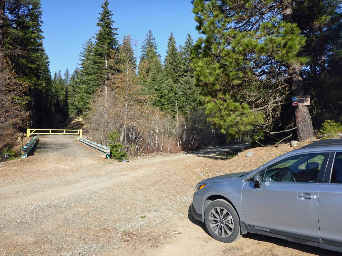
Just beyond the entrance to 29 Pines Campground we turned left onto Jungle Creek Road (aka FS-9701) and drove .3 miles to where it junctions with the gated Rye Creek Road... where we parked... then hiked past the gate and headed uphill on an unnamed road.
|

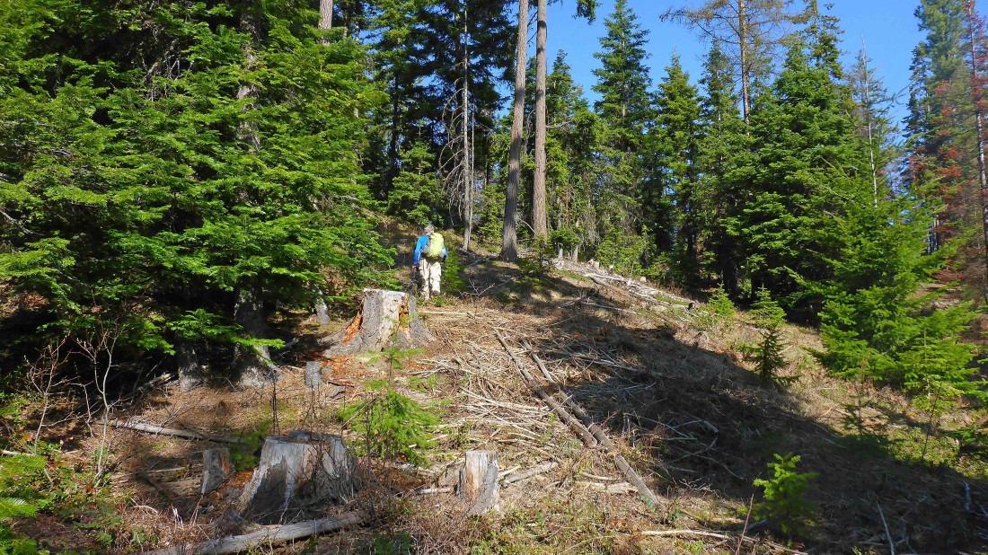
Heading west from where we parked... uphill on an unnamed road.
|
At ~3280 feet we left the unnamed road and headed cross-country... still trending in a western direction.
|
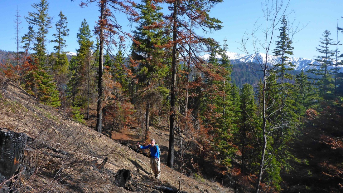
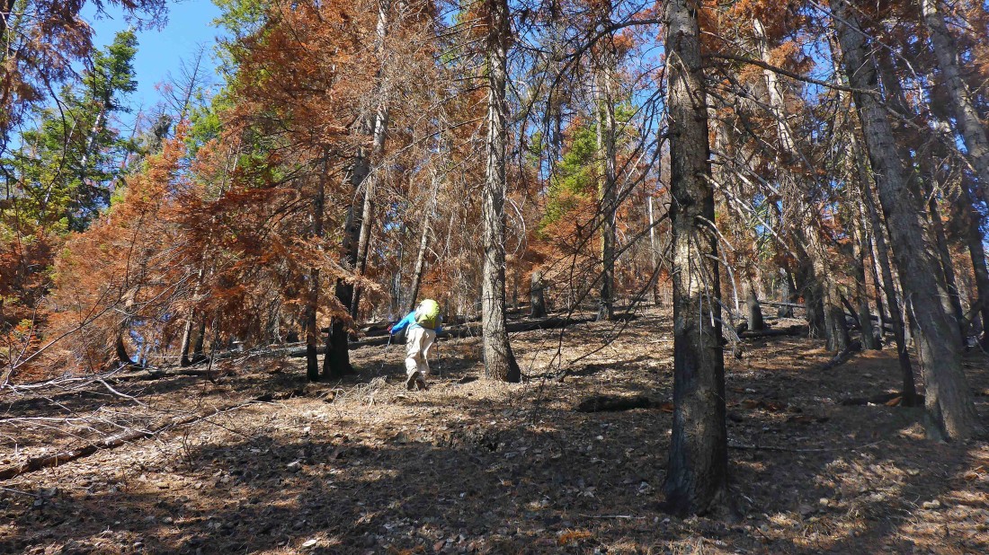
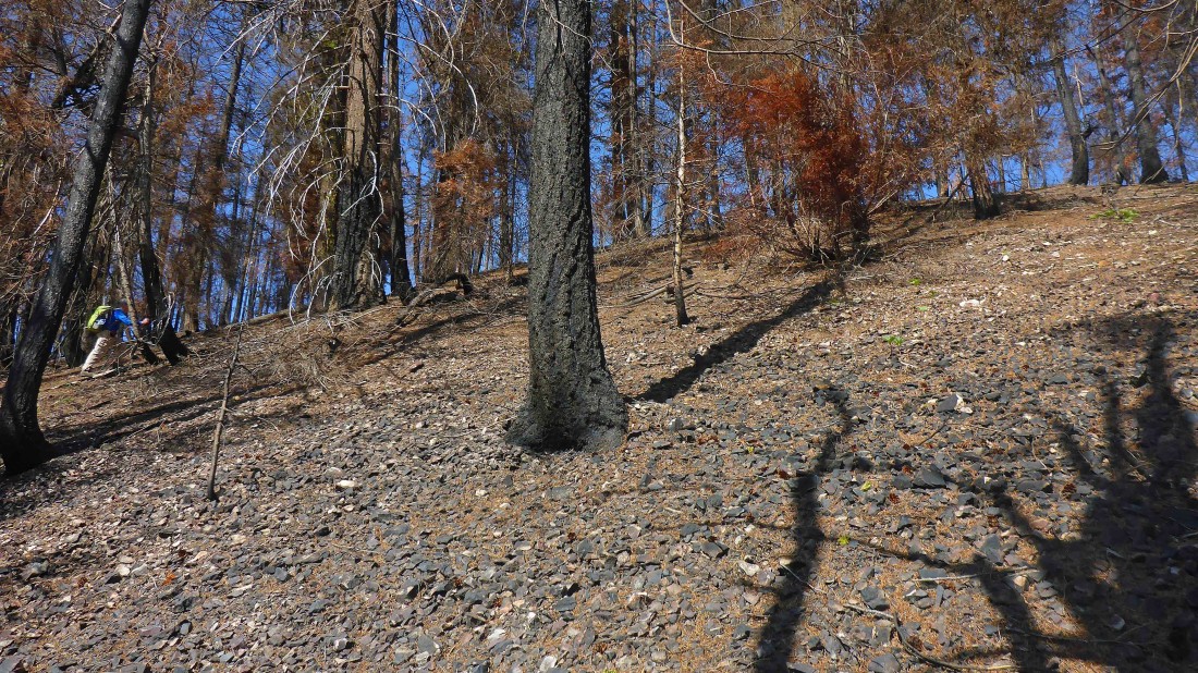
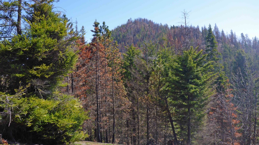
The aftermath of last year's Jolly Mountain Fire was obvious.
|

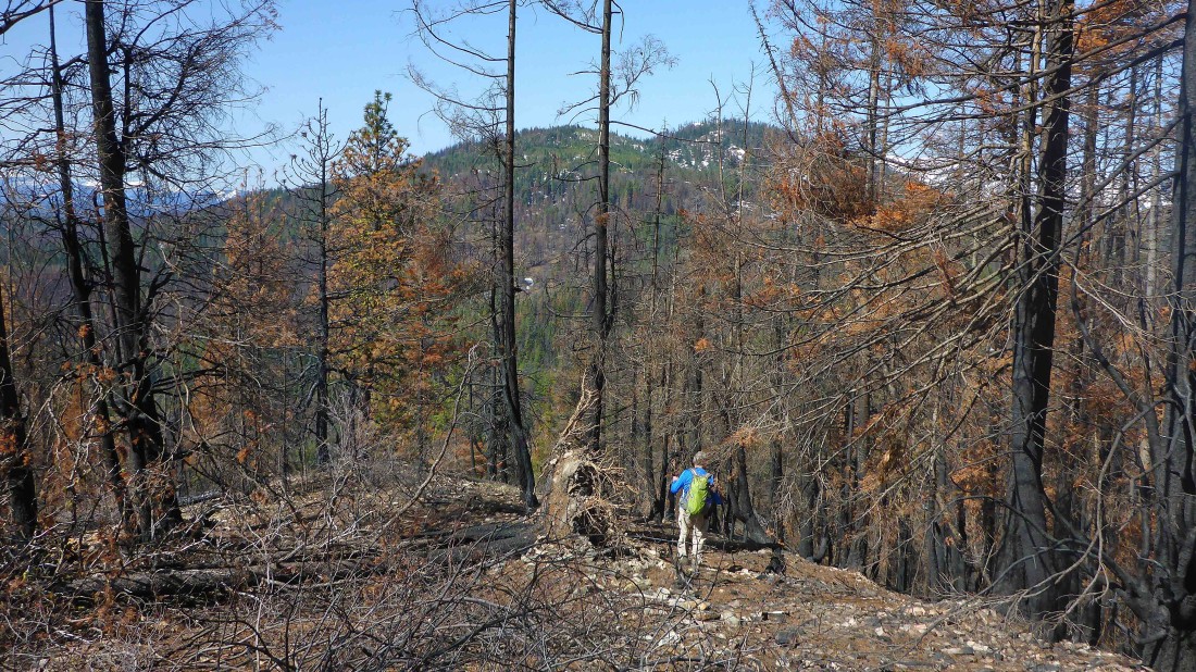
Tarzan Butte is just ahead... the last 600 feet of elevation gain to the summit is going to be steep.
|
Much steeper than it looks.
|
Nearing the Tarzan Butte summit (4385').
|
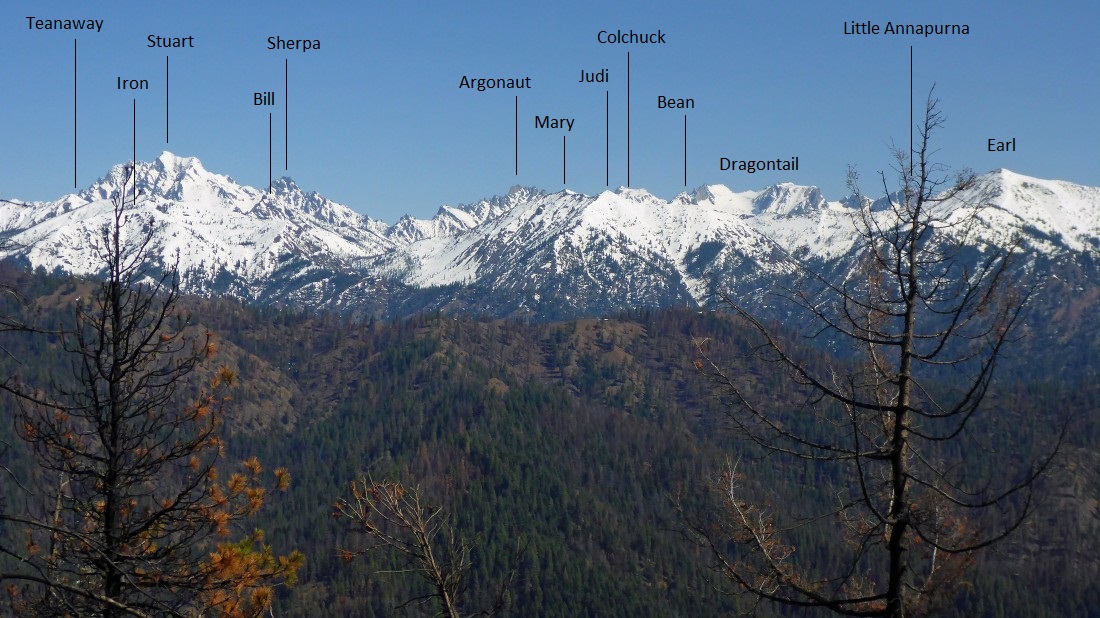
Peak identification from a very scorched Tarzan Butte.
|
Heading down the west side of Tarzan Butte in search of Liars Prairie... Teanaway Butte is in the distance... the bump in the right-center of the photo.
|
Looking back at Tarzan Butte from Point 3910.
|
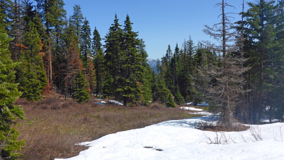
Liars Prairie... I felt very comfortable.
|
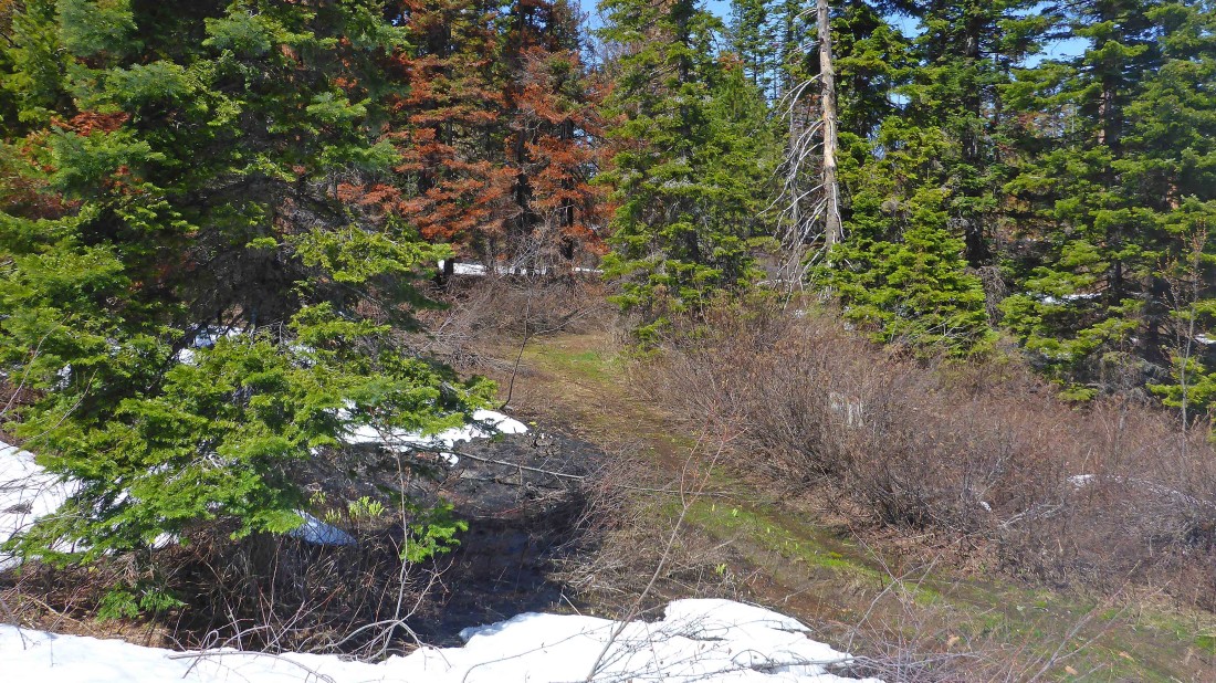
We found an abandoned road near the high point in Liars Prairie... we will follow it down to the Jungle Creek Road.
|
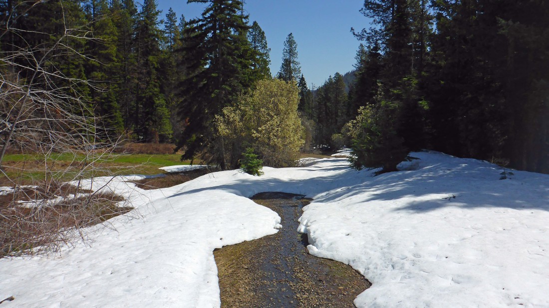
Connecting with Jungle Creek Road... there will be patchy snow on the road for the next 4 miles as we follow the road back to where we parked.
|
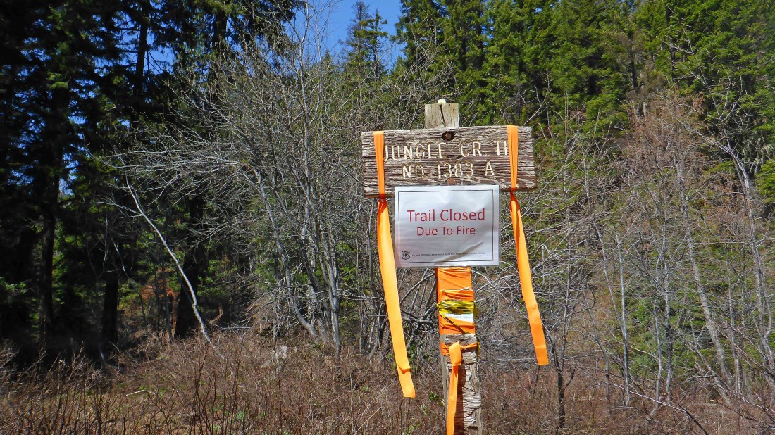
Passing by the trailhead for the Jungle Creek Trail... the sign says it is closed due to fire... however, per the Cle Elum Ranger website, the trail is open now... it would appear that they just didn't remove the closed sign after the fire was extinguished last October.
|

We are about a mile from the car... not sure how much longer the road will survive here... our loop trip was 9 miles, gaining 2236 feet of elevation.
|
