Teanaway Butte and Middle Teanaway Lookout Site - 5.2.2018

After turning right off of the West Fork Teanaway Road onto the Middle Fork Teanaway Road, we drove the middle fork road for 4.1 miles and parked (~2620') on the side of the road... our parking spot was a short distance beyond Indian Camp Campground.
|
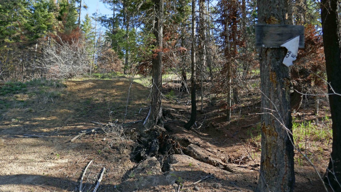
We could see the sign on the tree from where we parked... but it did not give any information about a trail... so we just continued on what looked like a path... note that last year's Jolly Mountain Fire went through this area.
|

Continuing on a faint path toward the Middle Teanaway Lookout Site... we had a waypoint in our GPS that identified the location of the lookout so there was no way we were going to get lost.
|

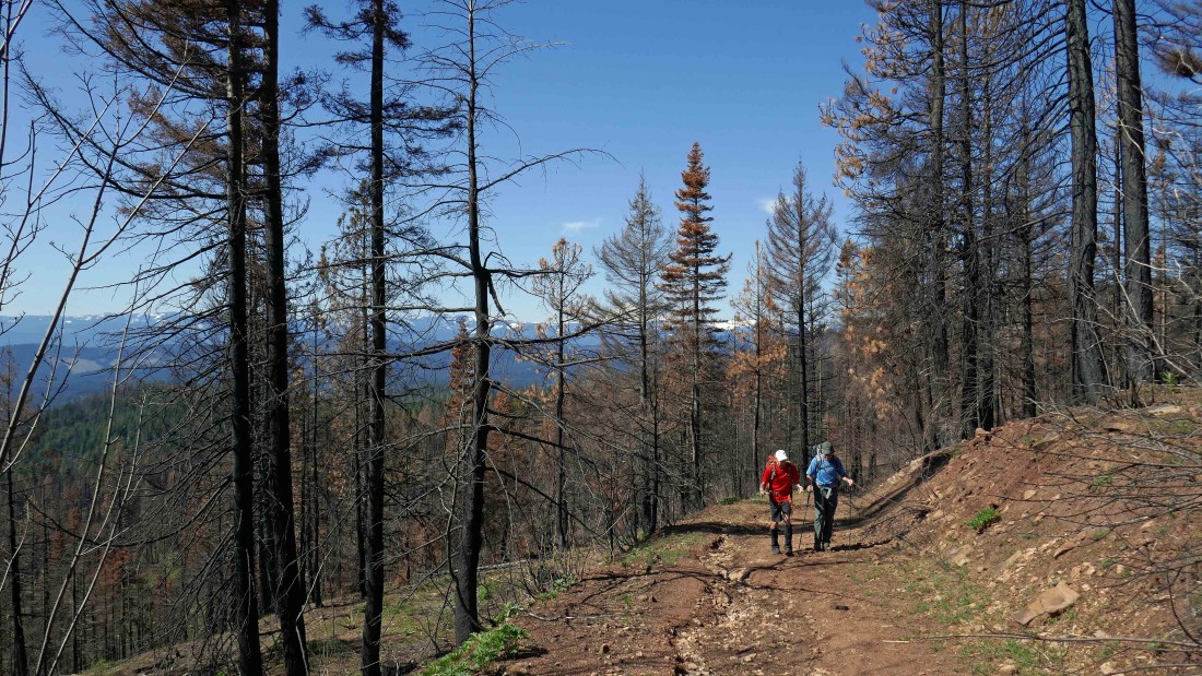
Izzy leads the troops toward the lookout in the burnt forest.
|

After hiking ~1 mile we are standing at the Middle Teanaway Lookout Site (~3360 feet)... we couldn't find any evidence that it ever existed.
|
Following Road 230 beyond the lookout site... with the intention of following it to very near the summit of Teanaway Butte.
|
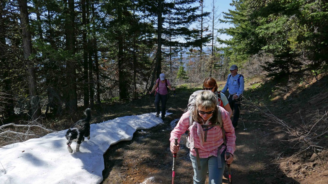
At ~4200 feet we found patchy snow on Road 230.
|

Almost on the Teanaway Butte summit (4760+).
|
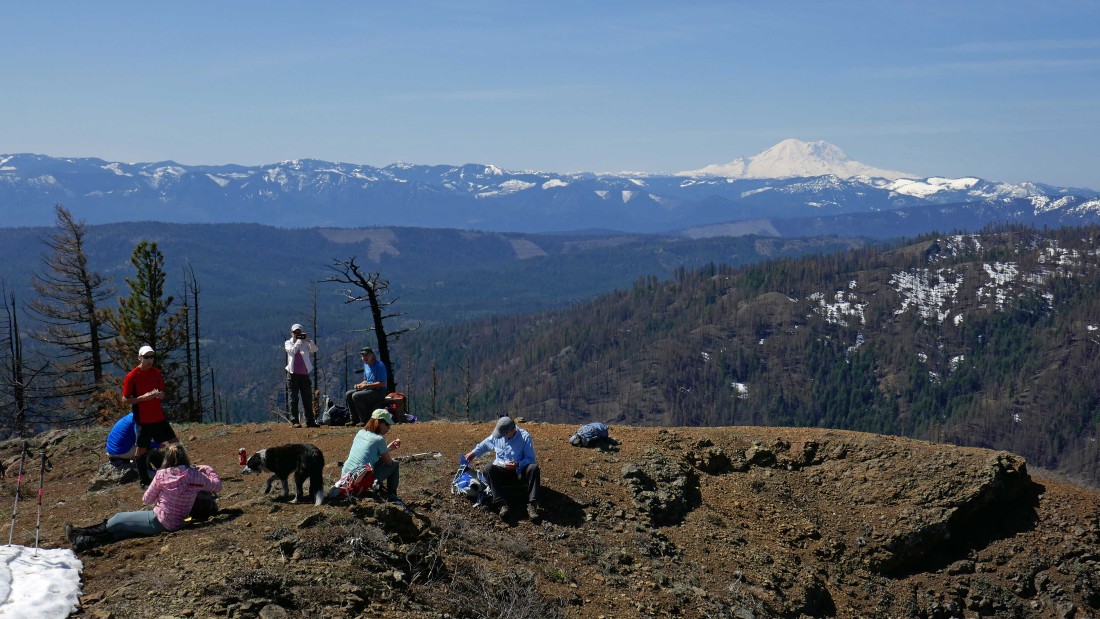
Looking south to Mt. Rainier from the Teanaway Butte summit.
|
Looking west on the left to north on the right... with Yellow Hill in the far left foreground and the Stuart Range on the right... with lots and lots of Teanaway Peaks in between... we will have a 4.25 mile hike back to the car... with the roundtrip being 8.5 miles, gaining 2400 feet of elevation.
|
