Johnson Mountain - 5.8.2018

Just beyond 29 Pines Campground turn left on Jungle Creek Road (aka FS-9701) and drive 2.4 miles to the trailhead for Jungle Creek Trail #1383.1... I recommend a high clearance vehicle if you intend to drive all 2.4 miles to the trailhead.
|
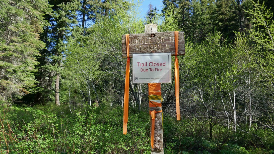
The trail was closed during last year's Jolly Mountain Fire... looks like they forgot to take down the closure sign because the Cle Elum Ranger website doesn't indicate that it is still closed.
|

Lots of this stuff is covering the trail.
|
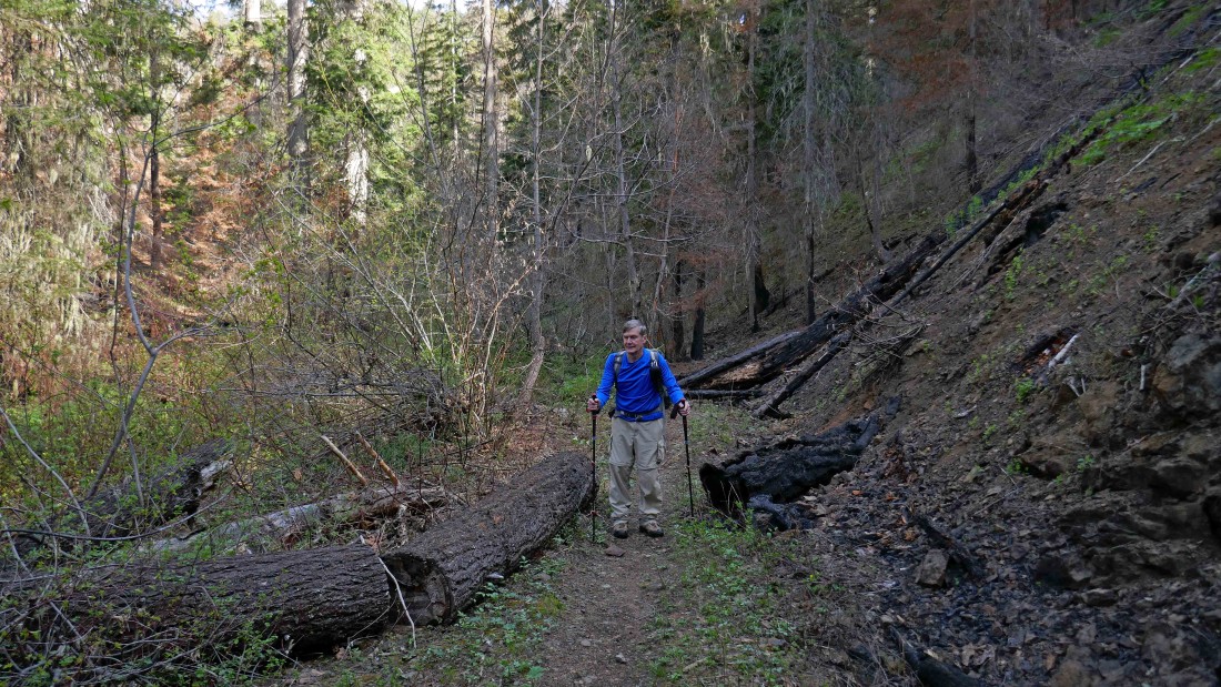
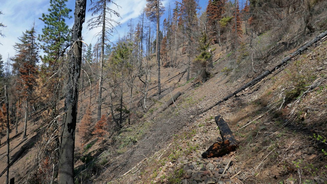
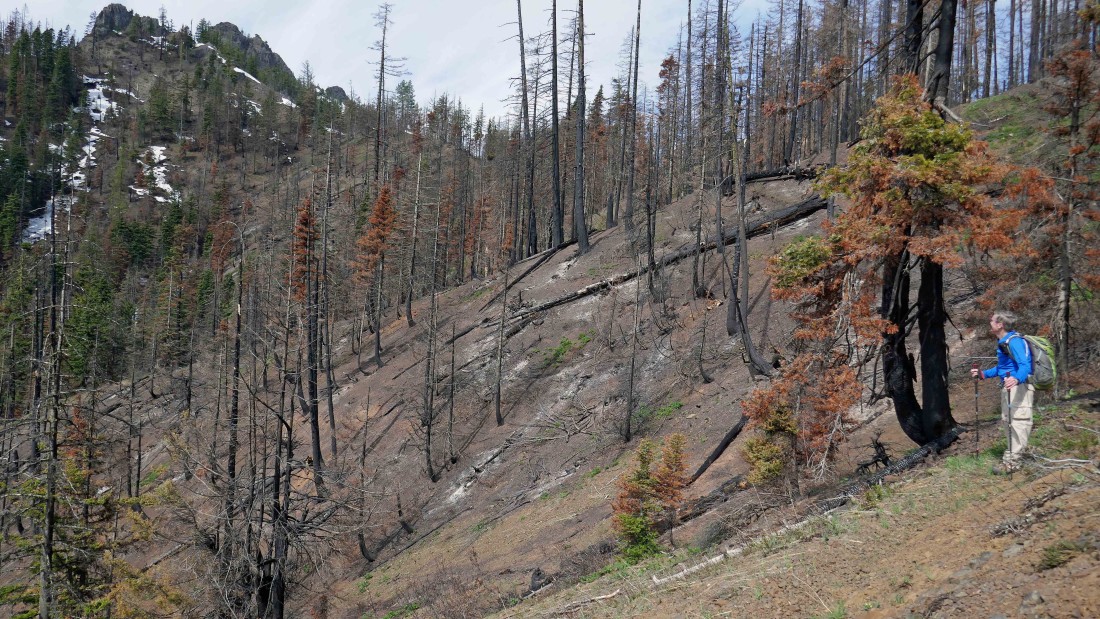
Evidence of the fire is evident all along the way.
|
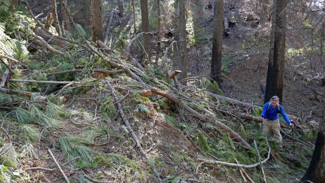
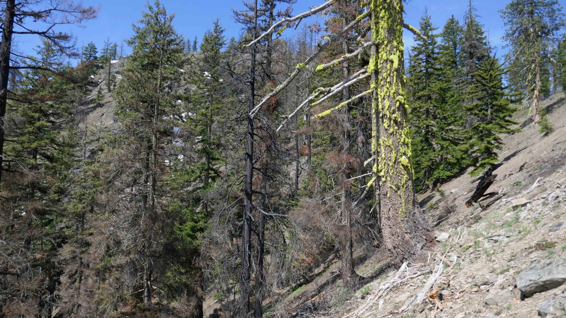
Working around some of the blowdown.
|
Nearing the 4500 foot saddle where the Jungle Creek Trail junctions with the Way Creek Trail.
|
We can see the rugged east end of Johnson Mountain just before reaching the 4500 foot saddle.
|

We have arrived at the 4500 foot saddle... where the only remains of the trail sign are the two bolts that held it on the tree... we can see the east end of Johnson Mountain in the distance.
|

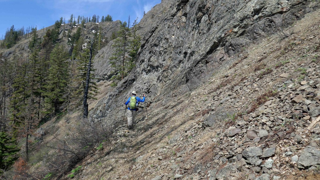
Working around the east end of Johnson Mountain.
|
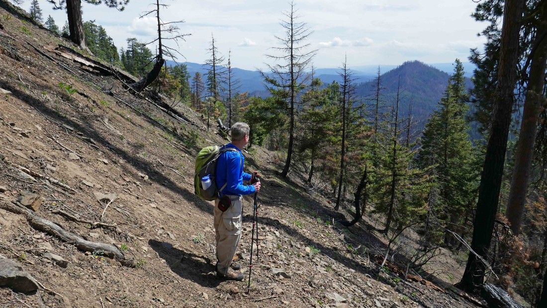
Heading cross-country along the south side of Johnson Mountain.
|
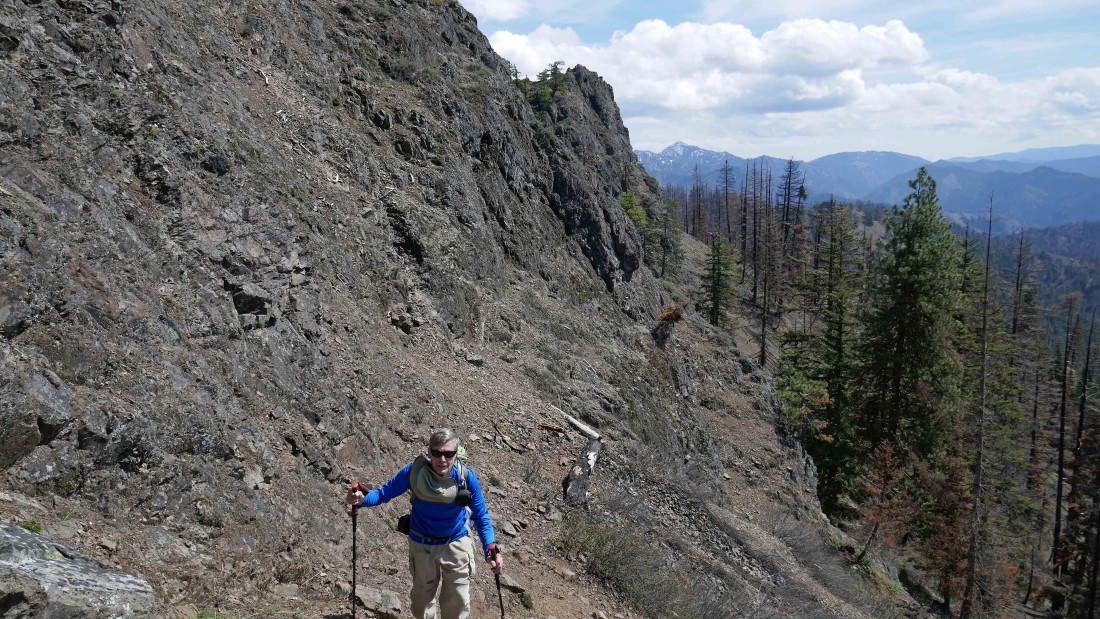
rodman traversing along the south side of Johnson Mountain.
|
We are on the south side of Johnson Mountain... having just worked around the east end of the mountain... now we will head for a little saddle on the far right.
|
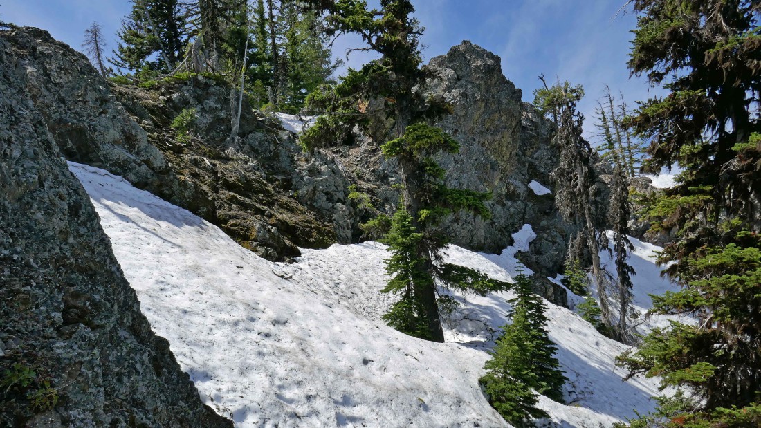
From that little saddle mentioned in the previous photo we decided to take a look at the north side of the saddle... and up we went.
|
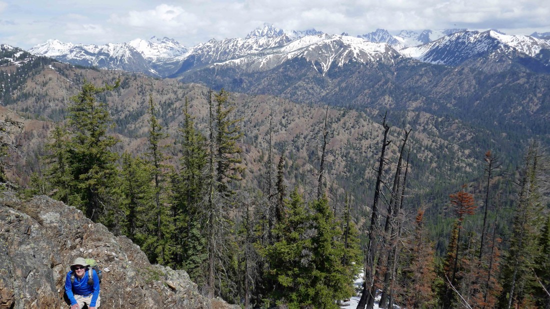
Some of the Teanaway Peaks and the Stuart Range from the north side of Johnson.
|
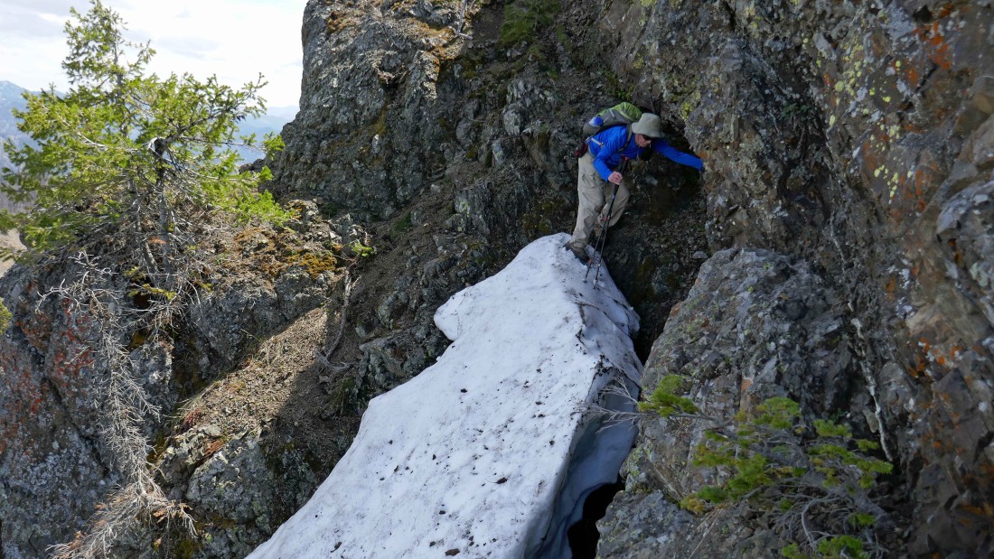
Ugh... not the best choice to be on the north side of Johnson Mountain here... in 2005 we did this trip, but chose to stay on the south side of the mountain for the cross-country portion of the trip.
|
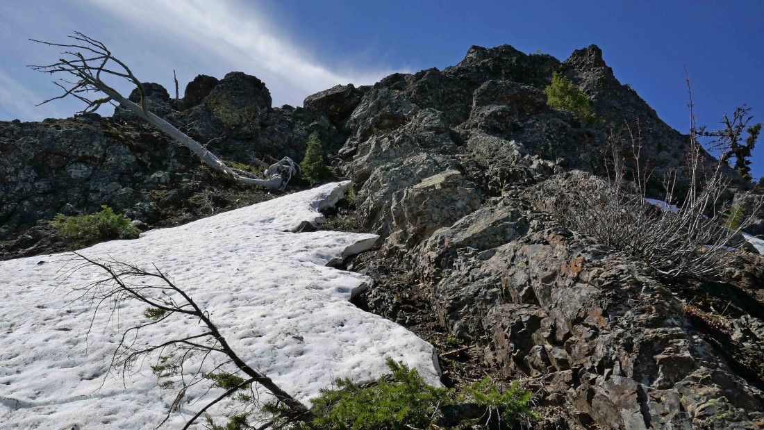
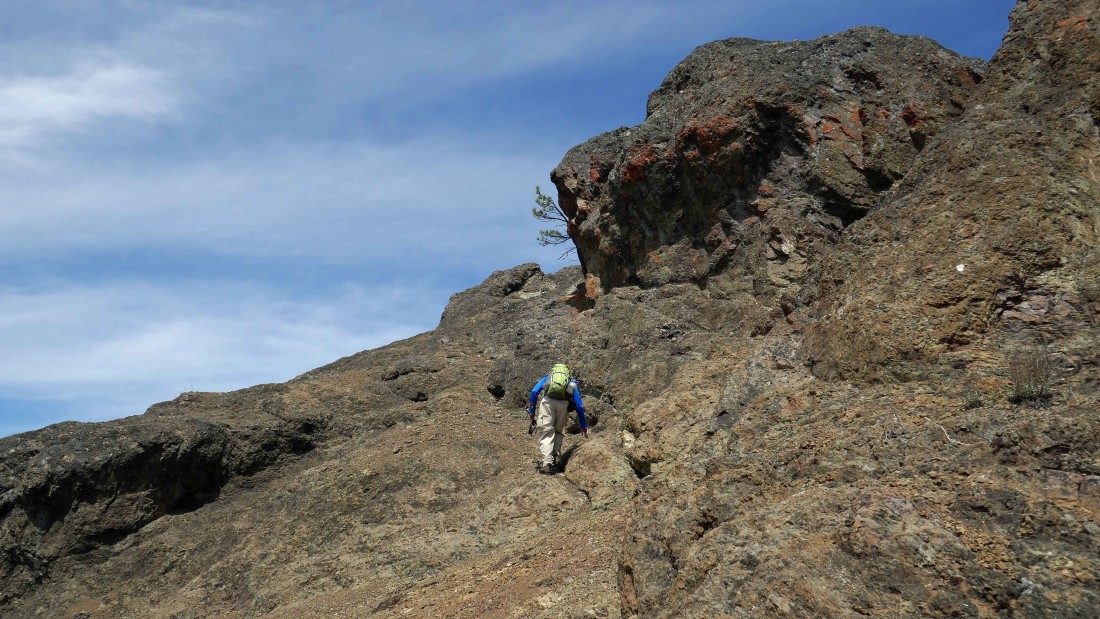
Time to head up to the ridge now.
|
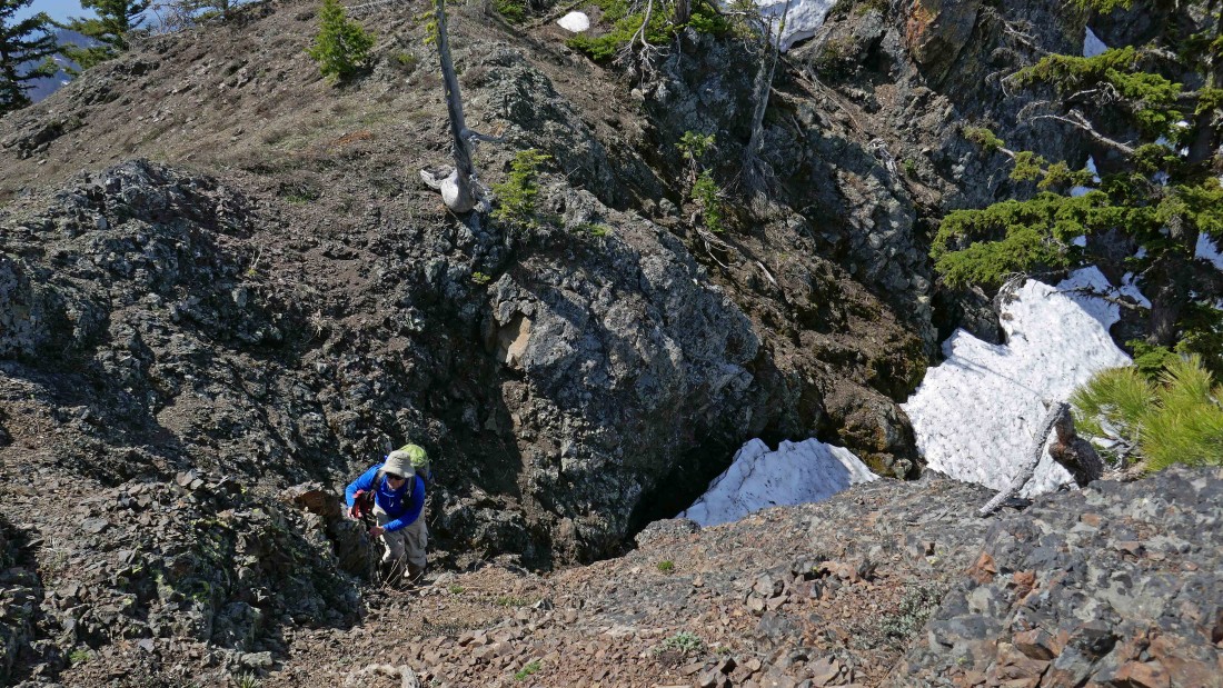
rodman coming up to the ridge from the north side of Johnson.
|
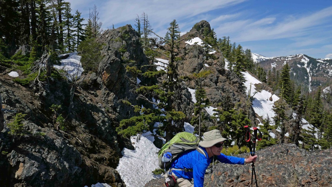
rodman reaches the east ridge of Johnson... now he can exhale... the summit of Johnson is in the distance.
|

rodman on the east ridge of Johnson Mountain... feels like a summit to us.
|
Nearing the summit of Johnson Mountain from its south side.
|
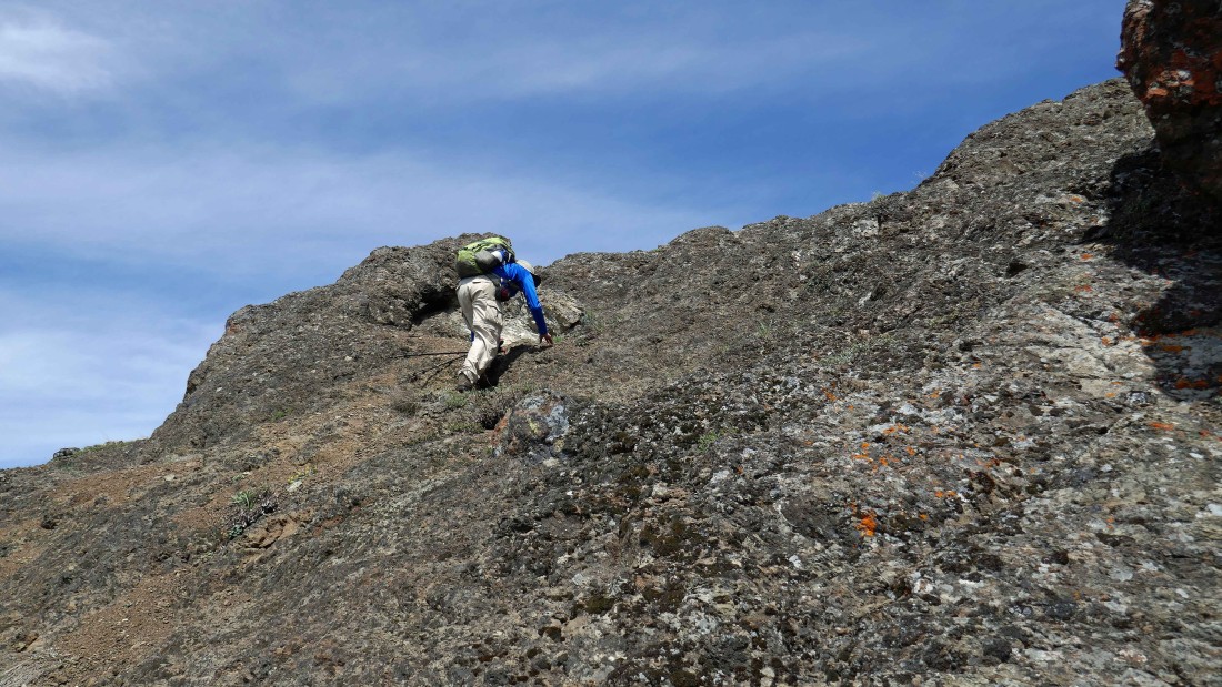
Just a few more steps.
|
Ladies and gentlemen... I give you the Teanaway!
|
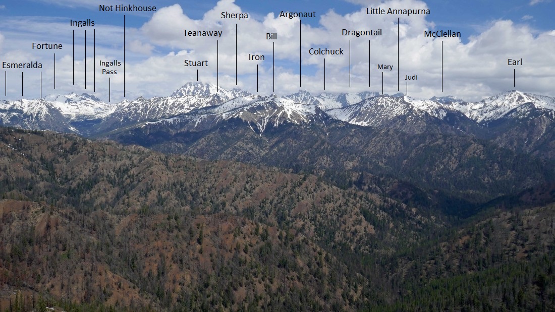
Peak identification from the summit (5220') of Johnson Mountain.
|
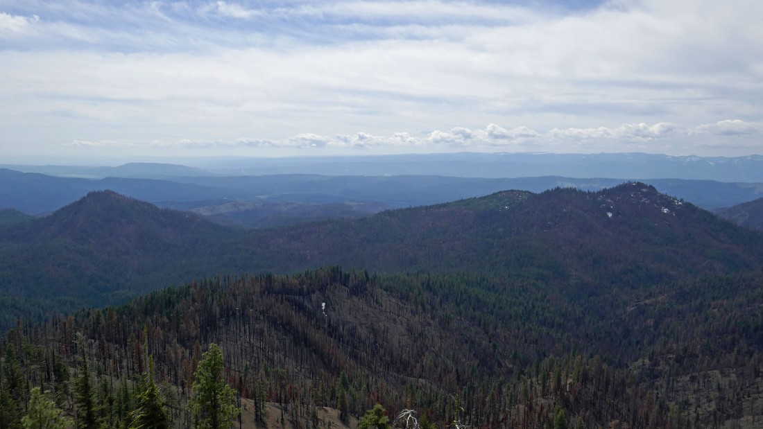
Looking south to Tarzan Butte on the left and Teanaway Butte on the right.
|
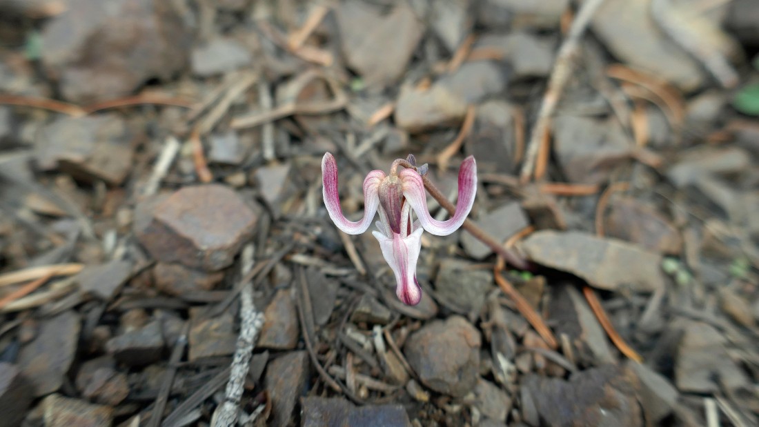
Steer's Head (aka Dicentra Uniflora).
|

Heading down the west end of Johnson Mountain where we will connect with the Way Creek Trail and then follow it a mile back to where it junctions with the Jungle Creek Trail at the 4500 foot saddle.
|
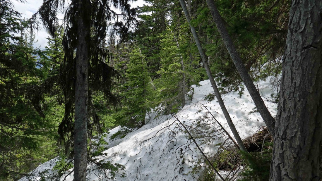
Yes... we are on the Way Creek Trail... every now and then we would find a piece of the trail as snow still lingers on the north side of Johnson Mountain.
|
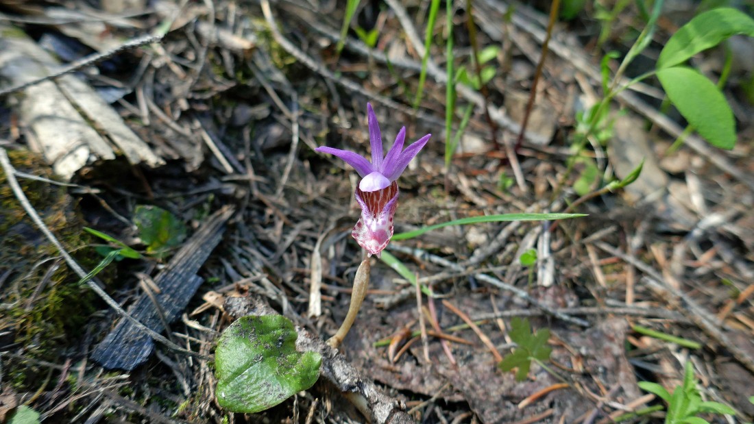
Lady's Slipper Orchid (aka cypripedioideae).
|

Trillium.
|
We have closed the loop portion of our trip... now heading back down the Jungle Creek Trail where we will reach the car in two miles... Tarzan Butte in the distance... our total trip was 6.7 miles, gaining 2461 feet of elevation.
|
