Three Brothers - East Peak - 5.29.2018
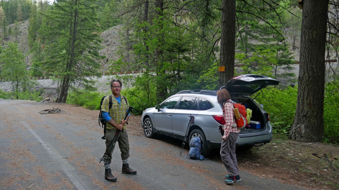
Drive east of Blewett Pass for 10.8 miles and look for a very subtle exit on the west side of Hwy 97... this unsigned exit is actually the south end of FS-7312... note that this road is no longer on the list of roads in the Wenatchee River Ranger District because it has deteriorated terribly over the years. At any rate, drive 7312 for a short distance and park where the road has started to collapse into Peshastin Creek.
|
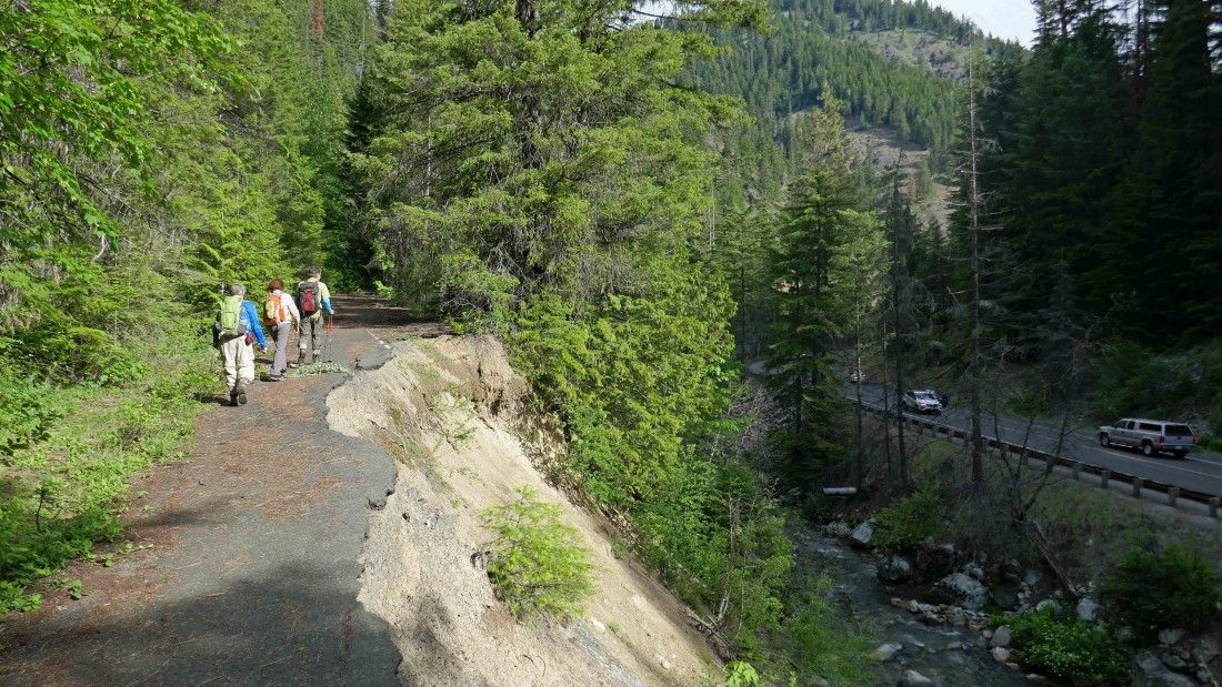
Hiking north along FS-7312... Peshastin Creek is below... and Hwy 97 on the right.
|

After hiking FS-7312 for ~.75 miles the bridge crossing over Etienne Creek is washed out.
|

At the washed out bridge we found an obvious path leading down to Etienne Creek (aka Negro Creek).
|
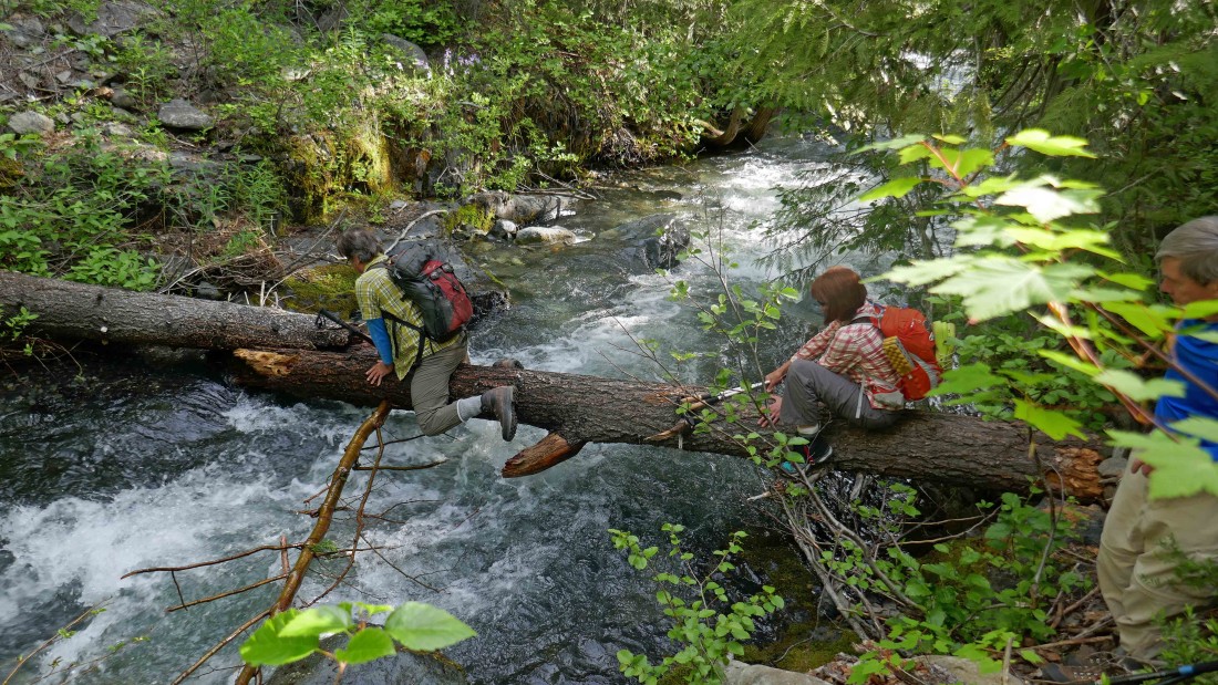
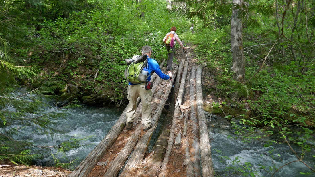
RichP and BarbE making the log crossing of Etienne Creek.
|

After crossing Etienne Creek we are continuing up stream on FS-7312.
|
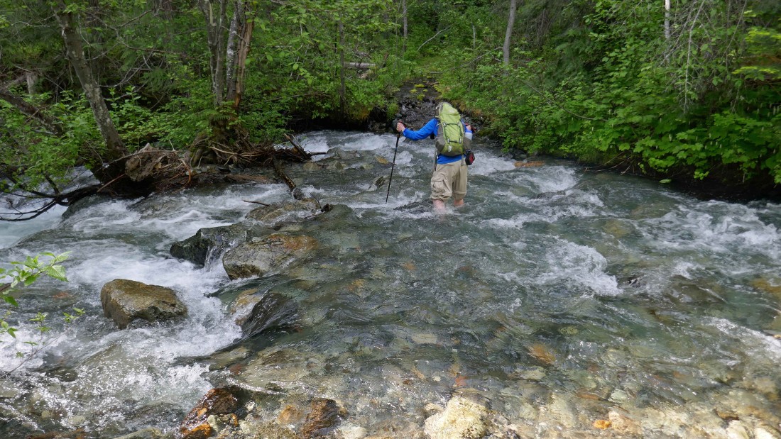
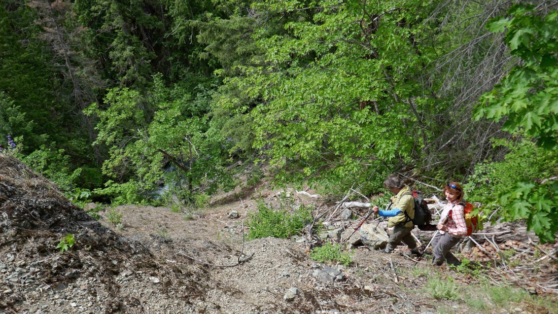
The road crosses the creek after hiking a total of 1.5 miles... this time of year the knee-high water was moving fast... this was our last creek crossing of the day until we had to recross it at the end of the day.
|
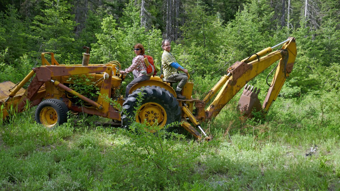
BarbE and RichP get ready to move some earth.
|
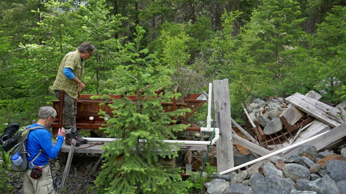
Checking out a sluice-type contraption... probably used to mine for something.
|
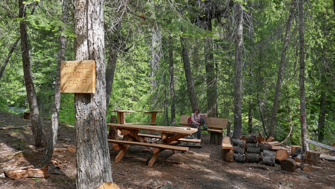
Passing by the Bravos Mining Camp... looks like fairly new construction to me.
|
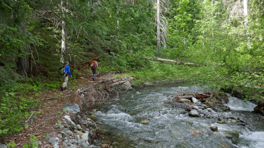
Continuing along the south side of Etienne Creek.
|
A foot bridge crossing back over to the north side of the creek.
|
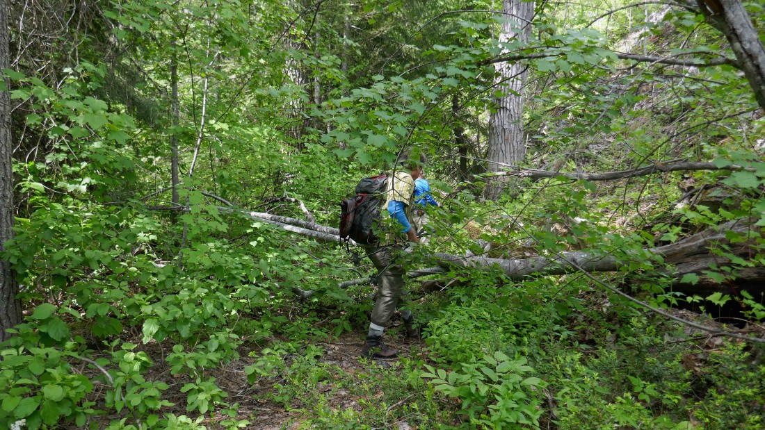
After the bridge crossing the trail starts to become more brushy.
|
Heading off route where the creek has eroded the path/trail.
|

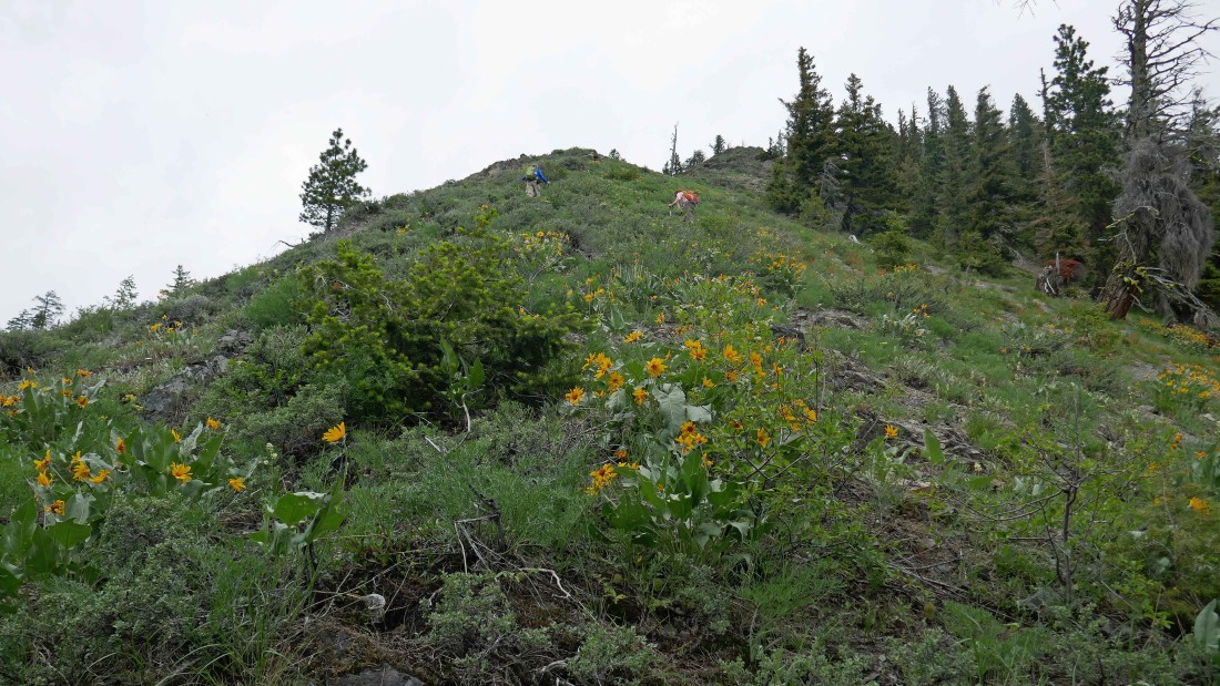
Still off route as we gain ~120 feet... steeper than it looks here.
|
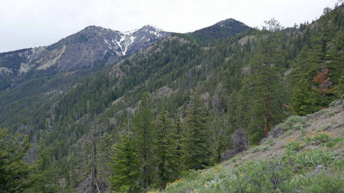
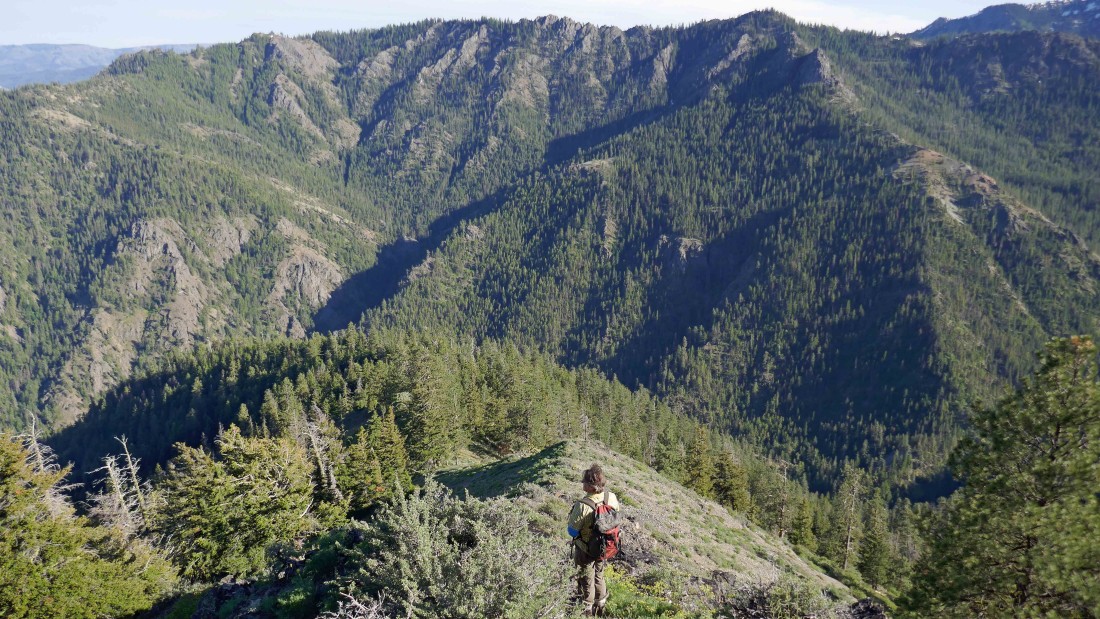
Traversing above the area where the creek has eroded the path/trail... the west summit and middle summit of Three Brothers are up valley.
|
Time to head back down to the creek after getting beyond where it eroded the trail.
|
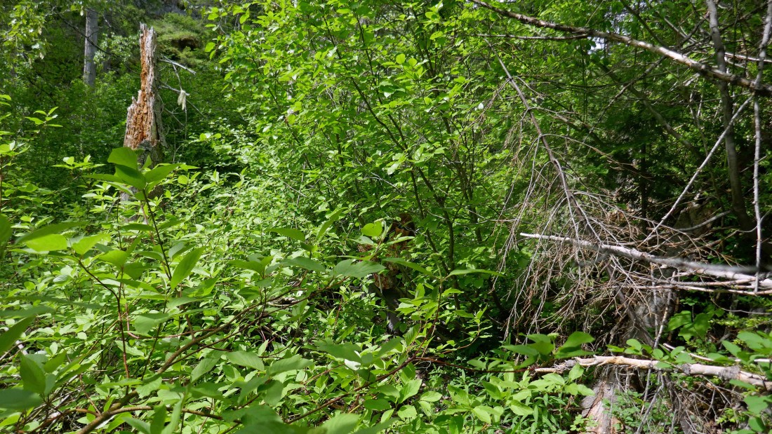
Find BarbE... did I mention that the route is very brushy in places.
|

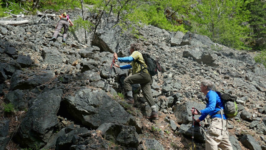
Crossing a boulder field.
|

After hiking a total of 3.9 miles we are looking across the creek to a prospector's cabin.
|
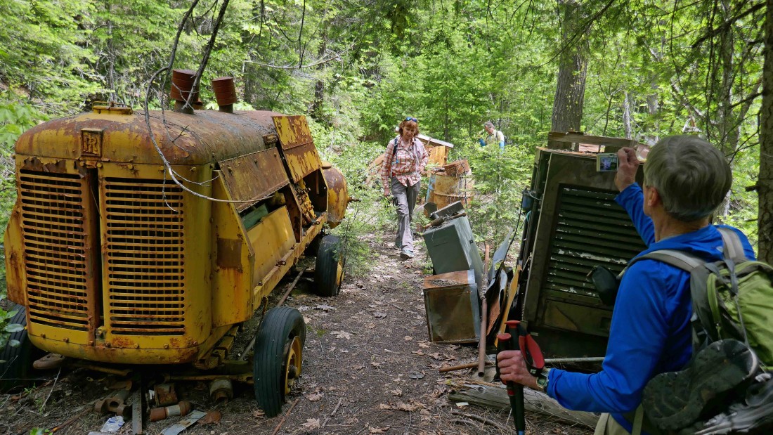
Some of the prospector's equipment.
|
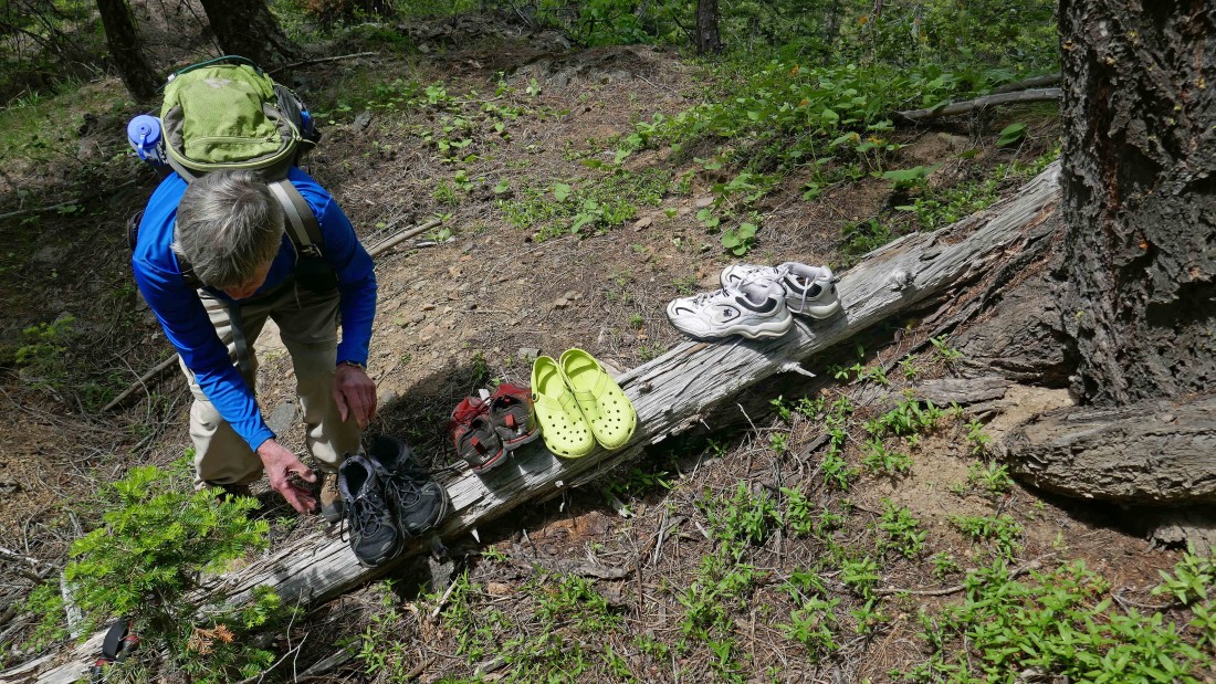
We have found the miner's road that we will use to gain ~1000 feet as we head uphill toward Point 5170... time to leave our water shoes behind... we will pick them up on our return.
|
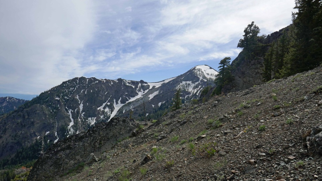
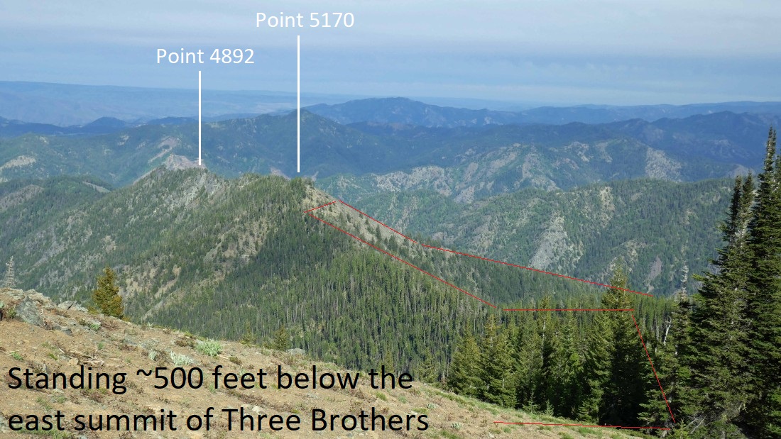
Off of the miner's road and continuing uphill toward Point 5170... the Three Brothers are in the distance... the west summit and middle (old lookout site) summit are on the left... the east summit (our destination) is on the right.
|
Continuing uphill toward Point 5170.
|

Nearing Point 5170... but before reaching the top we will traverse to the left over to a saddle at ~5000 feet.
|
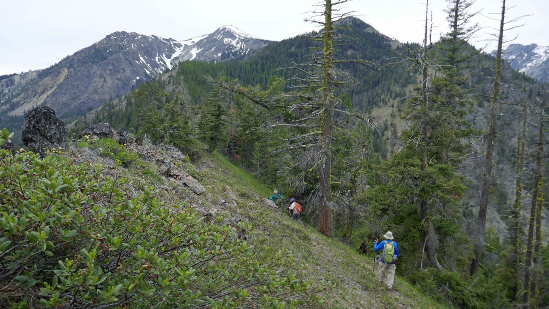
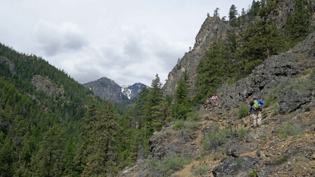
Continuing west along the ridge toward the east summit of Three Brothers... the west and middle summits are on the left.
|

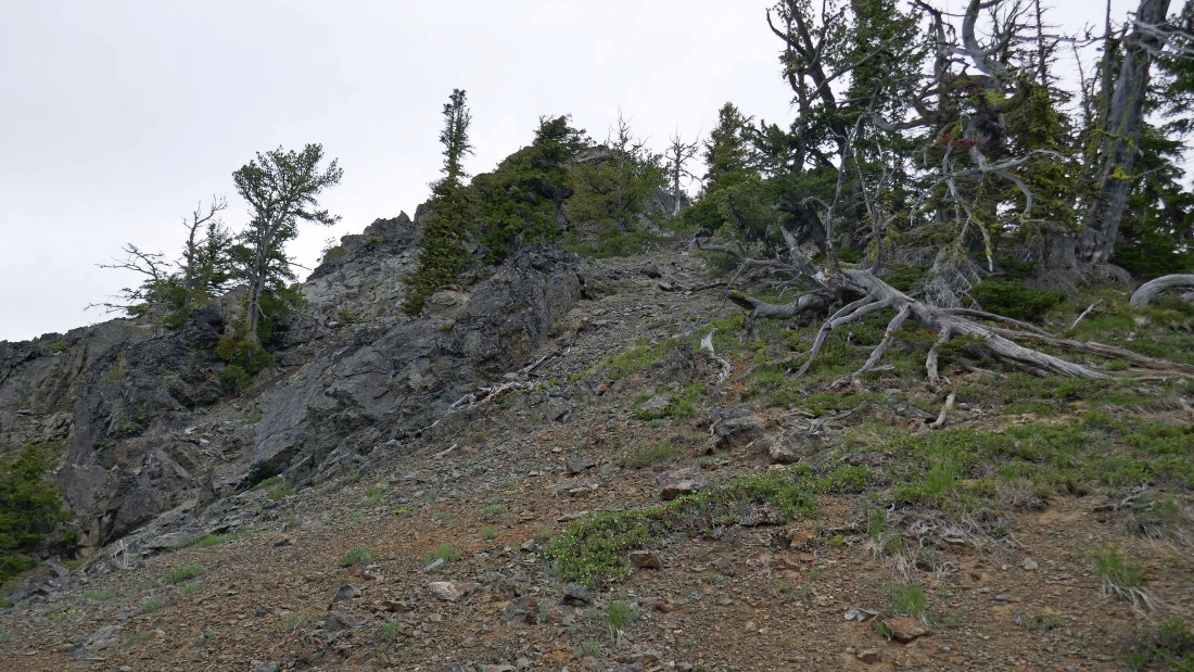
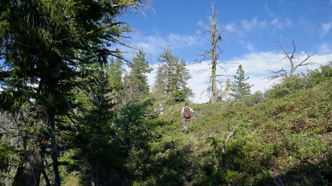
The first mile of our ridge walk had several ups and downs.
|
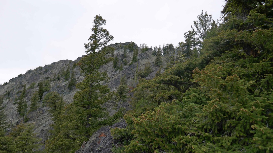
At ~6000 feet we got our first good look at the summit block of the east summit.
|
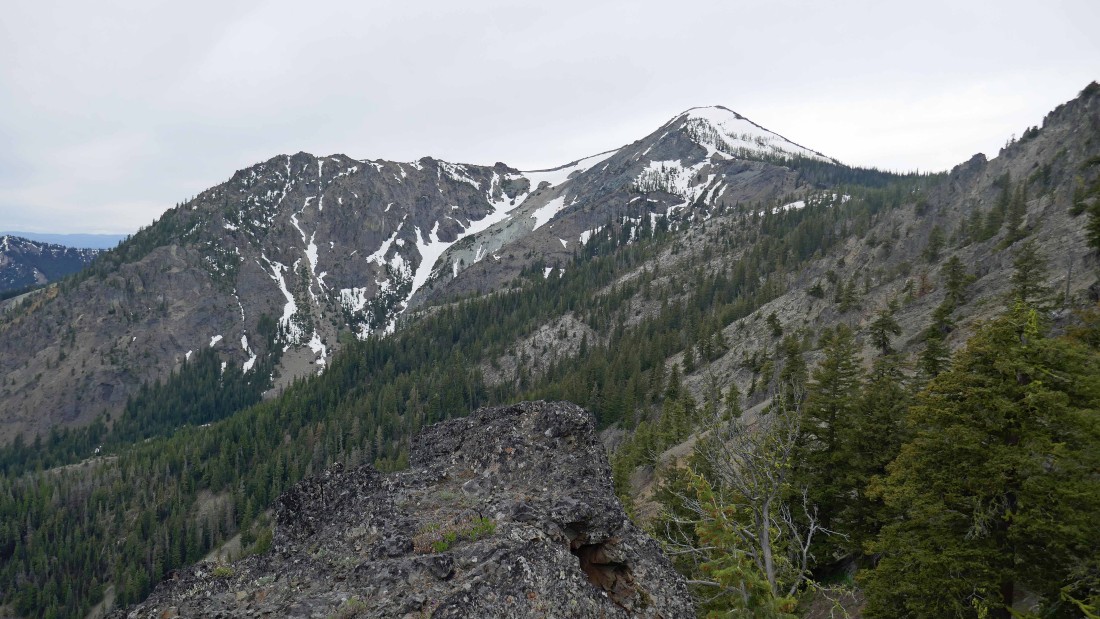
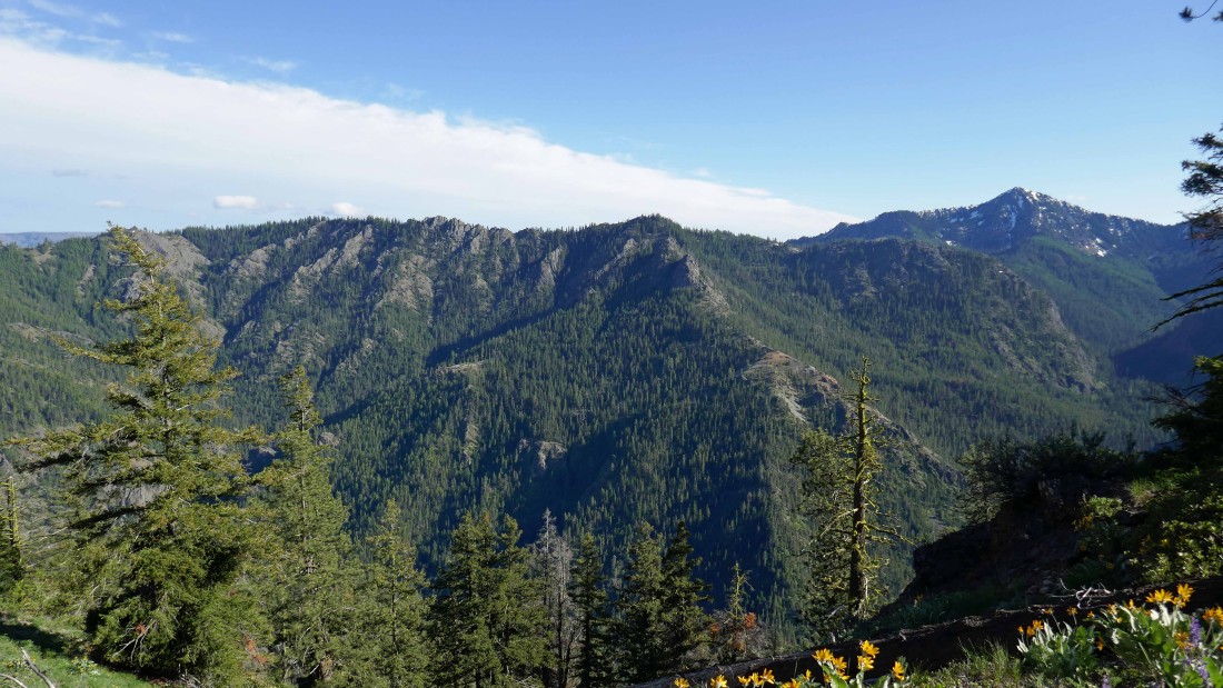
The west and middle summits of Three Brothers.
|
Getting closer to the summit block of the east summit of Three Brothers.
|

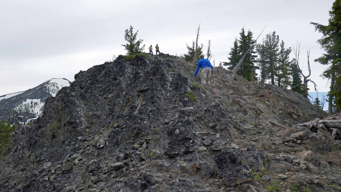
We ditched our packs at the summit block and are climbing the short Class 2/3 terrain that will get us to within striking distance of the east summit.
|
BarbE and RichP are on the summit (6427').
|
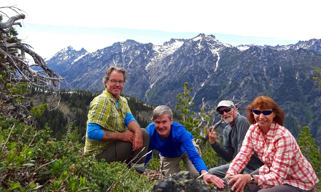
BarbE took this shot of our summit party... left-to-right... RichP, rodman, ragman and BarbE.
|
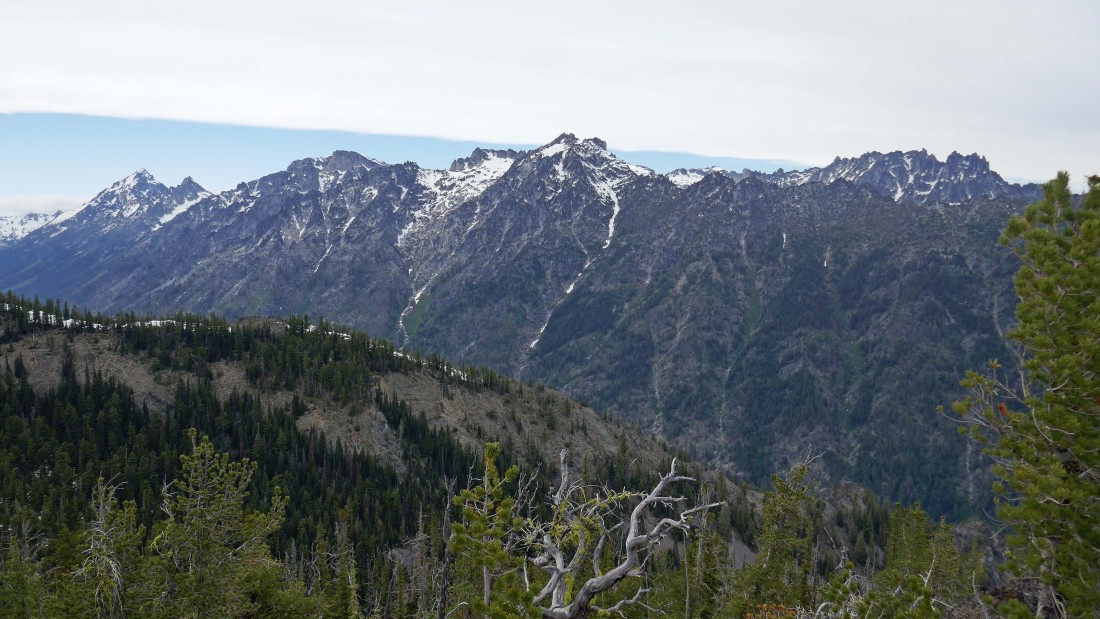
The Stuart Range from the east summit of Three Brothers.
|
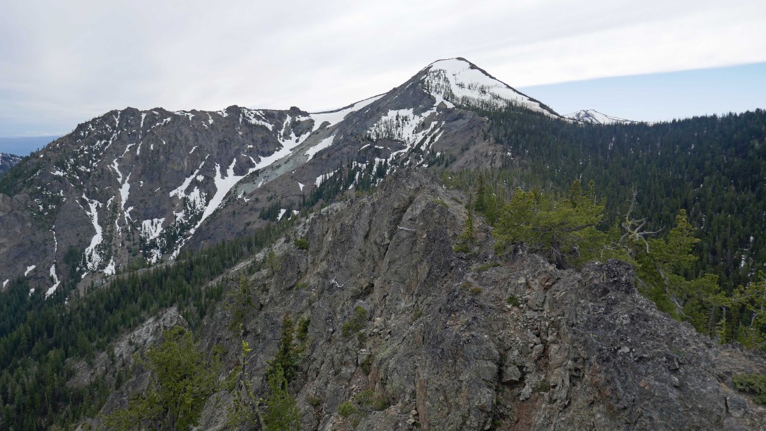
The west summit and middle summit of Three Brothers are in the foreground... with Navaho Peak in the distance on the right.
|

Heading down from the east summit.
|
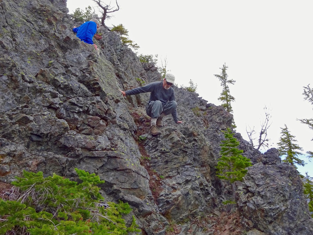
BarbE took this photo of rodman and ragman dealing with the short Class 2/3 section at the beginning of summit block.
|
Sunshine appears as we head back down.
|
Heading down from the east summit of Three Brothers... looking at the route we used to get here.
|
Walking the ridge back toward Point 5170.
|
Looking across the valley to Iron Mountain in the foreground... and Miller Peak on the far right.
|
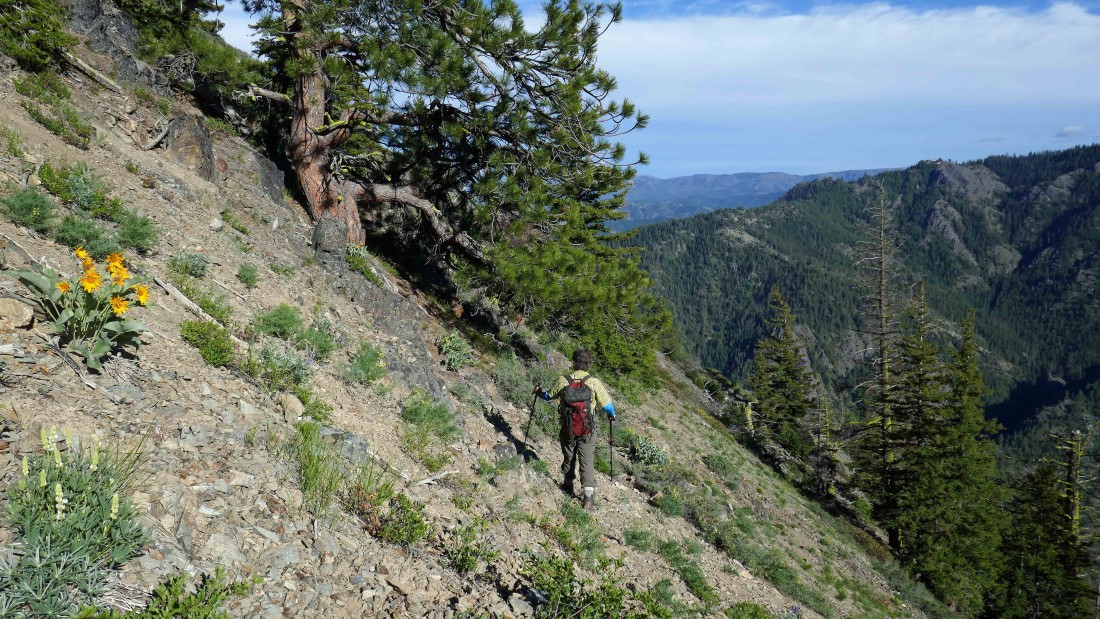
RichP leads us down as he traverses underneath Point 5170.
|
We will give back ~2000 feet of elevation down to Etienne Creek... Iron Mountain is across the valley.
|

BarbE coming down the rib we used to get up to the ridge between Point 5170 and the east summit of Three Brothers... the time is 6:30pm and it will take us 4 more hours to get back to the car.
|
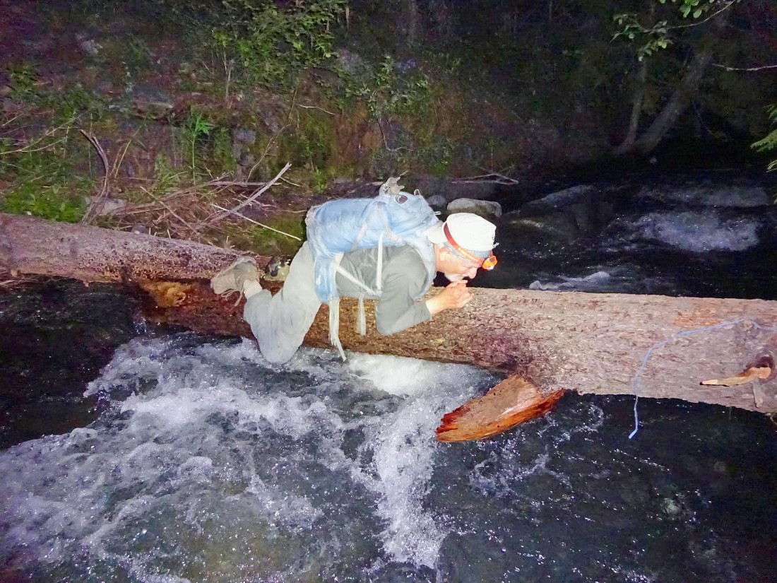
BarbE took this photo of me recrossing the log... too close to the water to straddle the log, so just inch along it... it is 10pm and we still have a three-quarter mile hike to get back to the car... our total trip was 14.4 miles, gaining 5221 feet of elevation.
|
