Serpentine Hill - 6.7.2018

From Blewett Pass drive north on Hwy 97 for ~8.5 miles and turn onto Old Blewett Pass Hwy... then drive .8 miles and turn right onto Shaser Creek Road (aka FS-7322)... then drive a half-mile to where the road is gated.
|
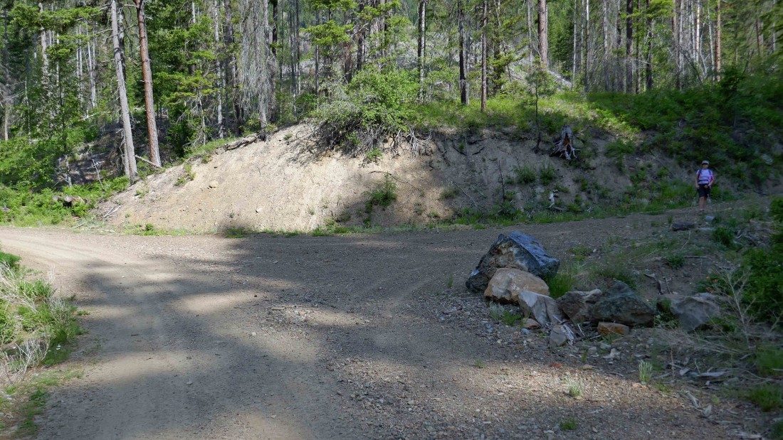
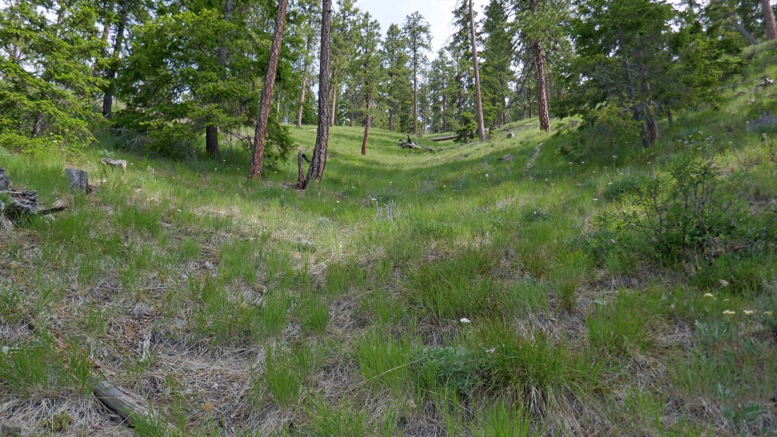
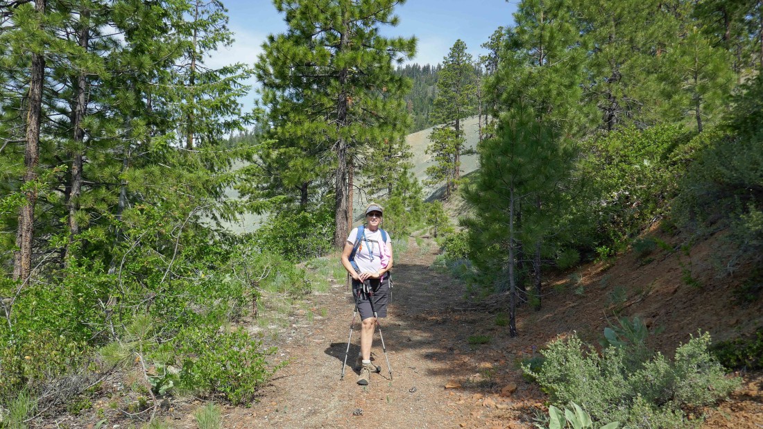
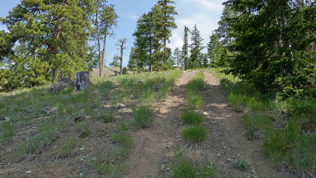
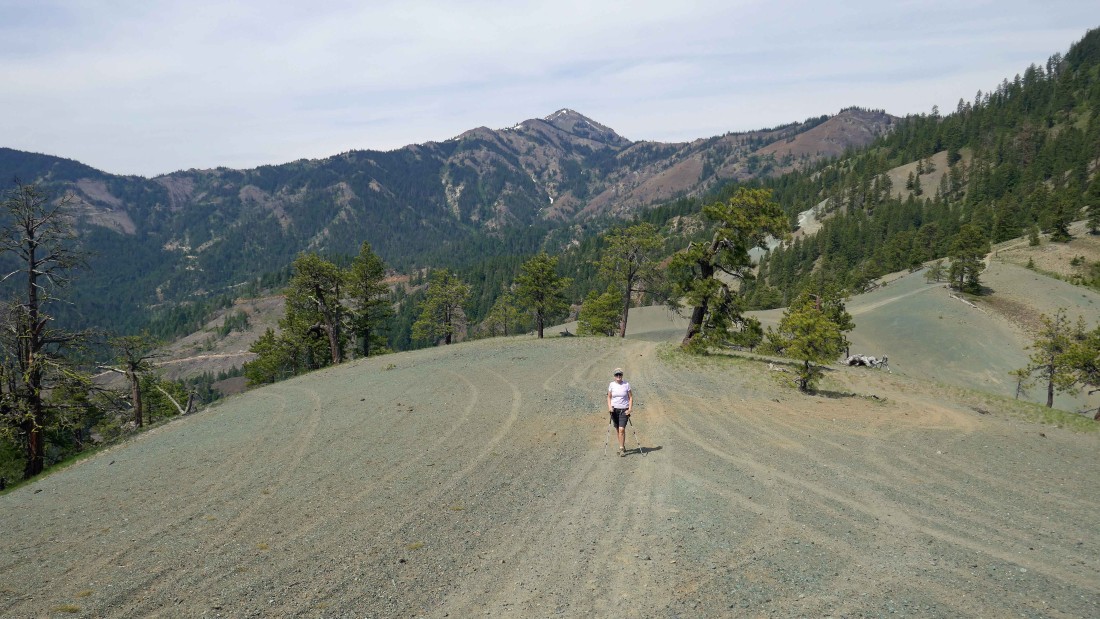
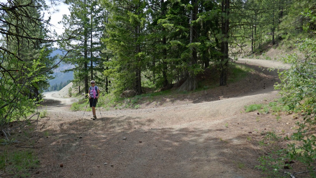
We hiked FS-7322 for 1.4 miles and turned right onto FS-7322-400... then hiked 7322-400 for .3 miles and took the right fork onto FS-7322-410 in this photo.
|
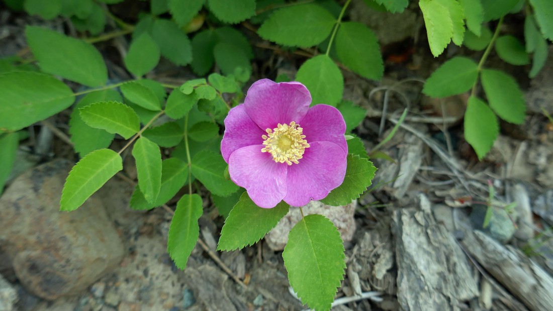
Lots of flowers on this hike... here we have a wild rose.
|
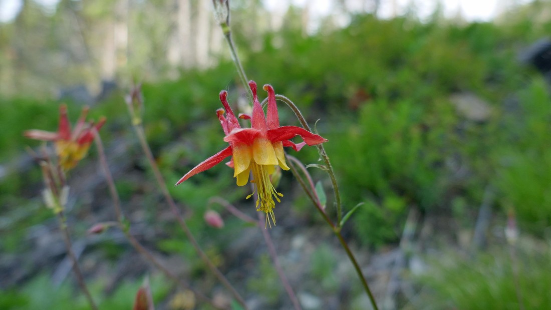
Columbine.
|
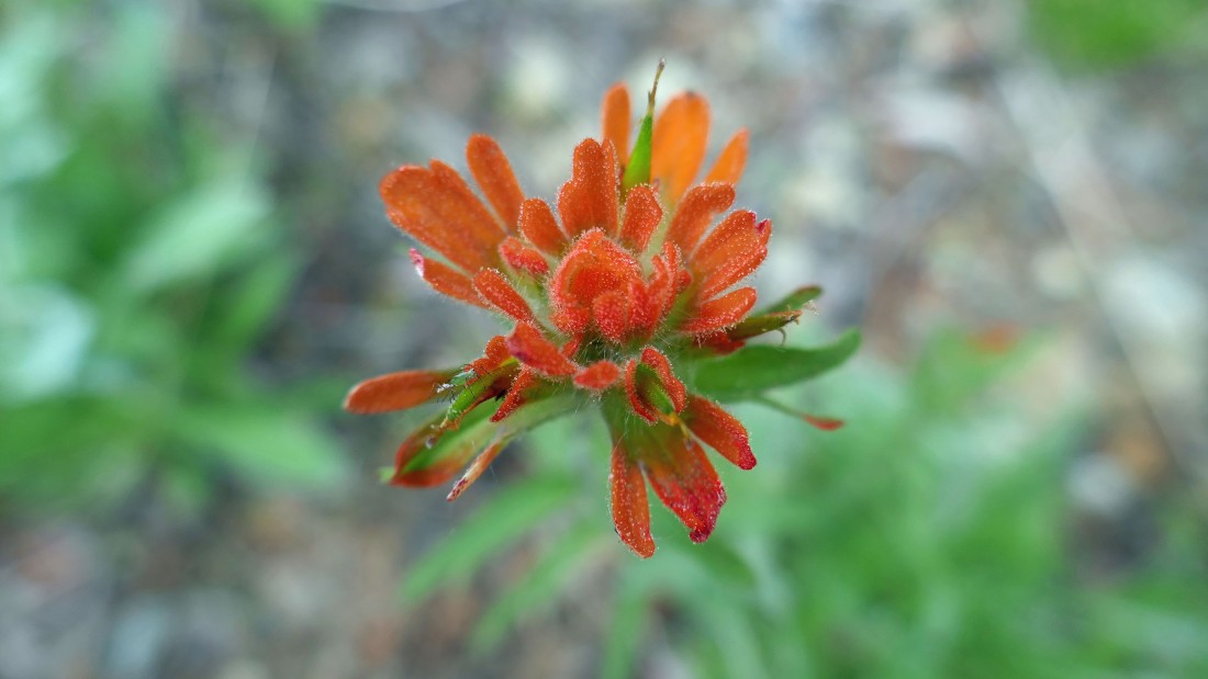
Indian paintbrush.
|
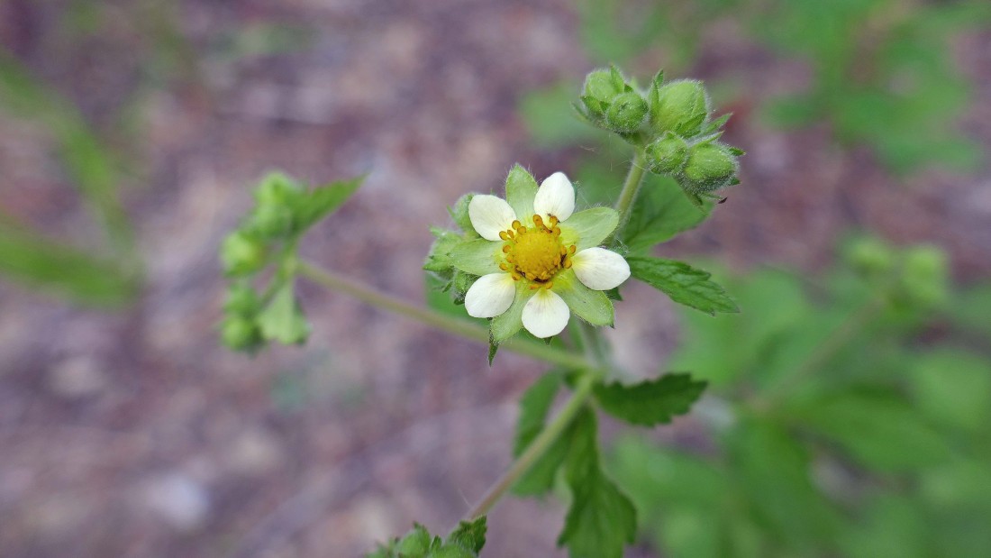
I have no clue.
|
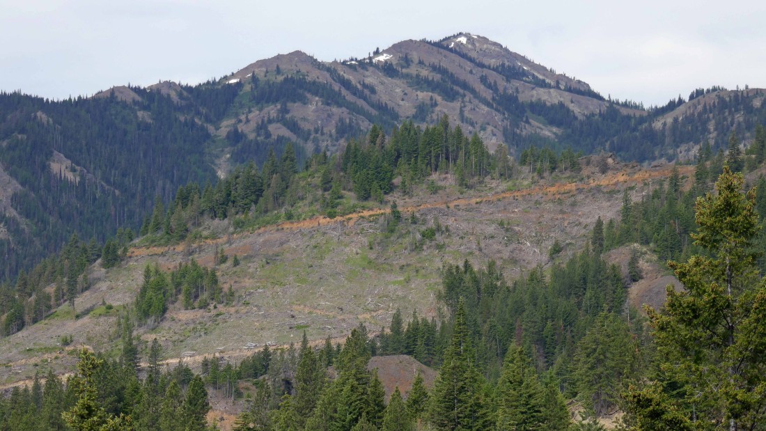
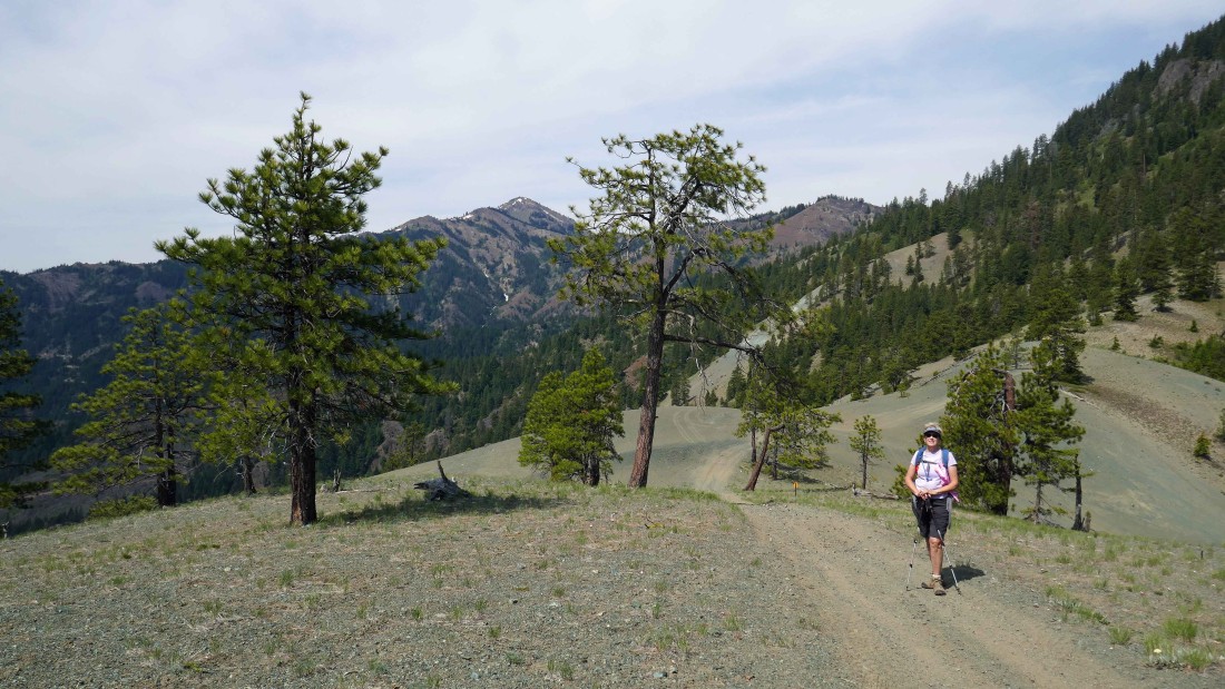
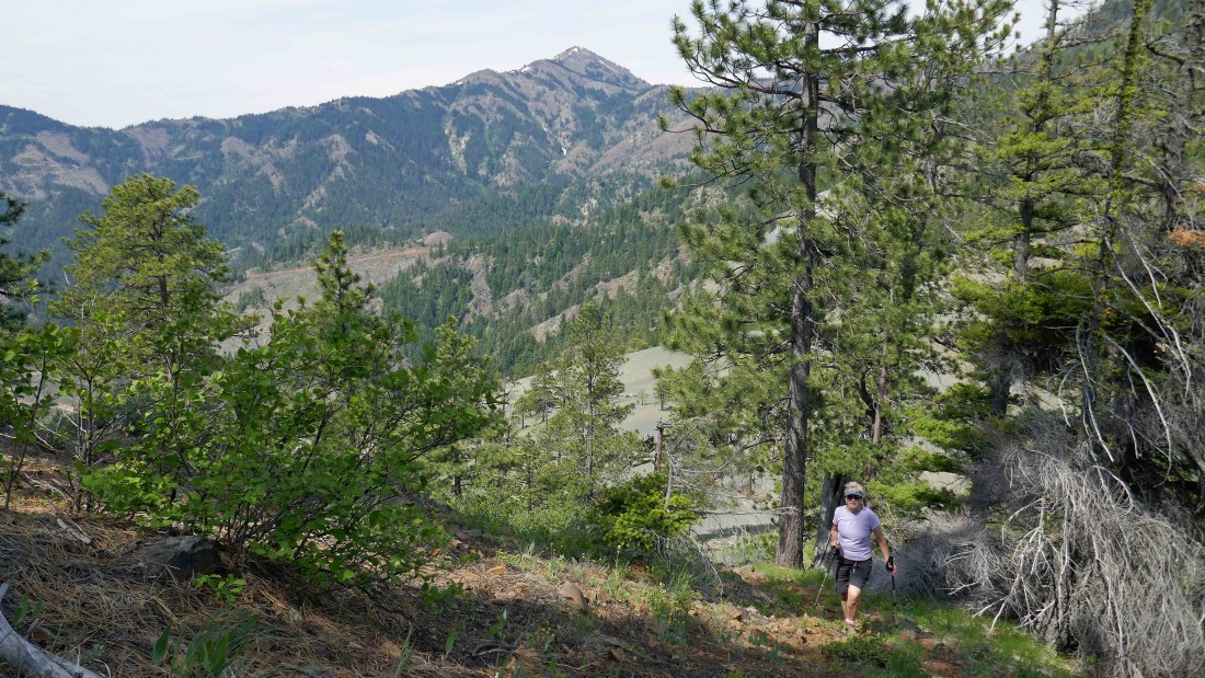
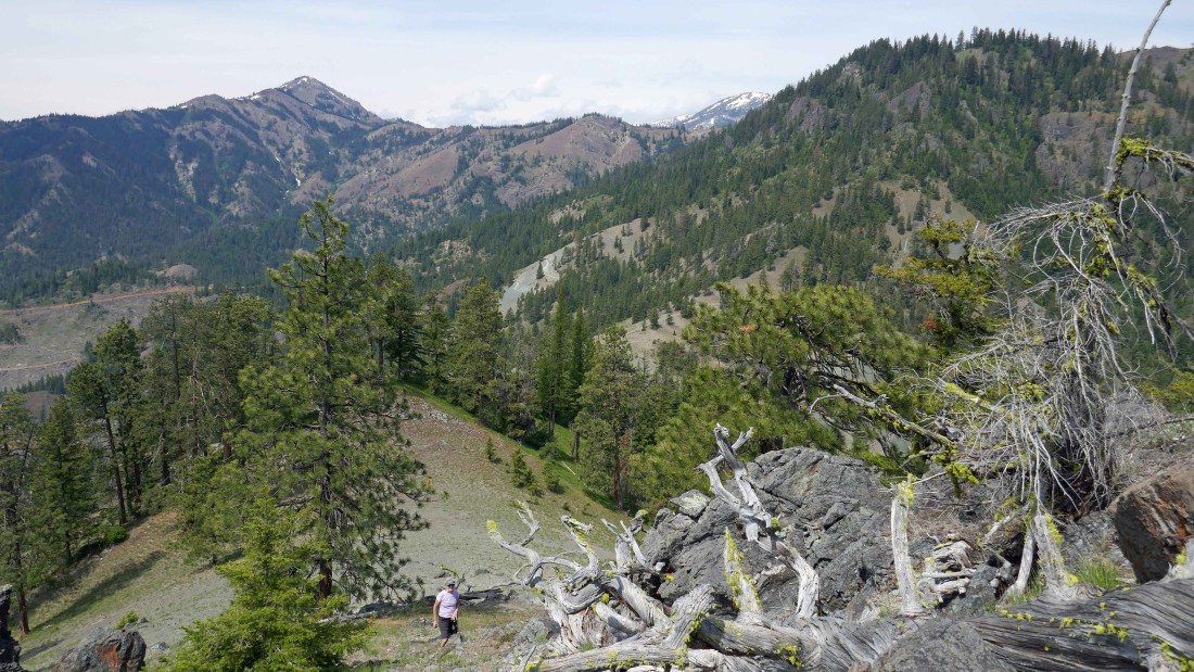
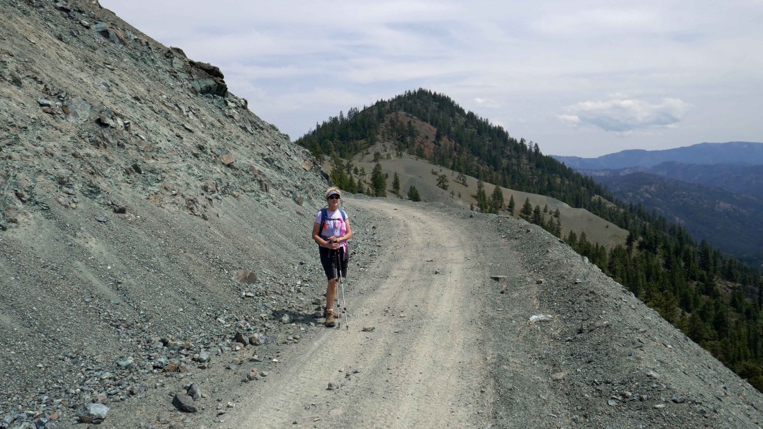
On FS-7322-410... looking at Miller Peak in the distance.
|
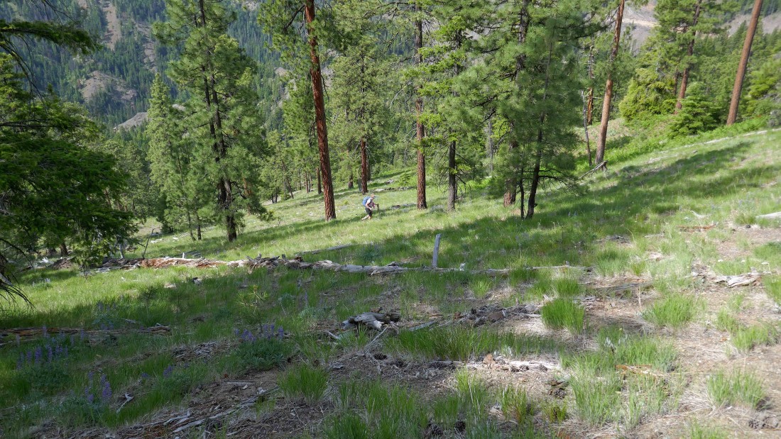
After hiking 7322 for 1.4 miles... and hiking 7322-400 for .3 miles... and hiking 7322-410 for .8 miles... we are heading cross-country for a short distance in search of 7322-440.
|
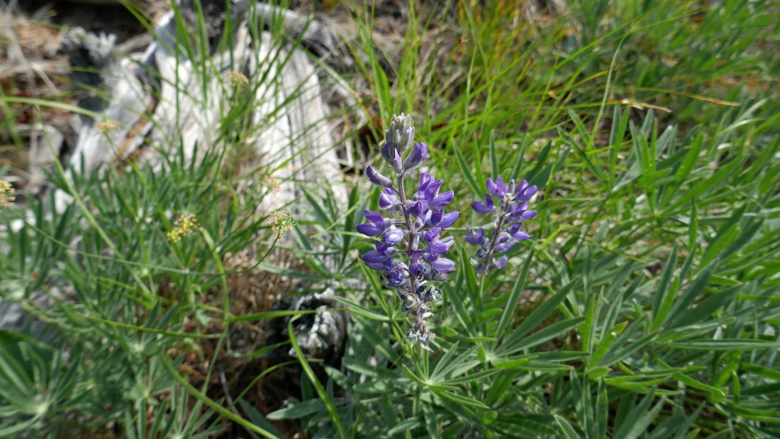
Lupine.
|
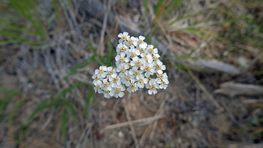
Yarrow.
|
Working our way uphill from 7322-410 in search of 7322-440.
|
Balsamroot are about done for this season.
|
We have found 7322-440... and will hike west on it for a very short distance.
|
Leaving 7322-440 and heading for the ridge above on this ATV track.
|
We have reached the ridge between Iron Mountain and Serpentine Hill.
|
Bitterroot.
|
Heading for the summit of Serpentine Hill.
|
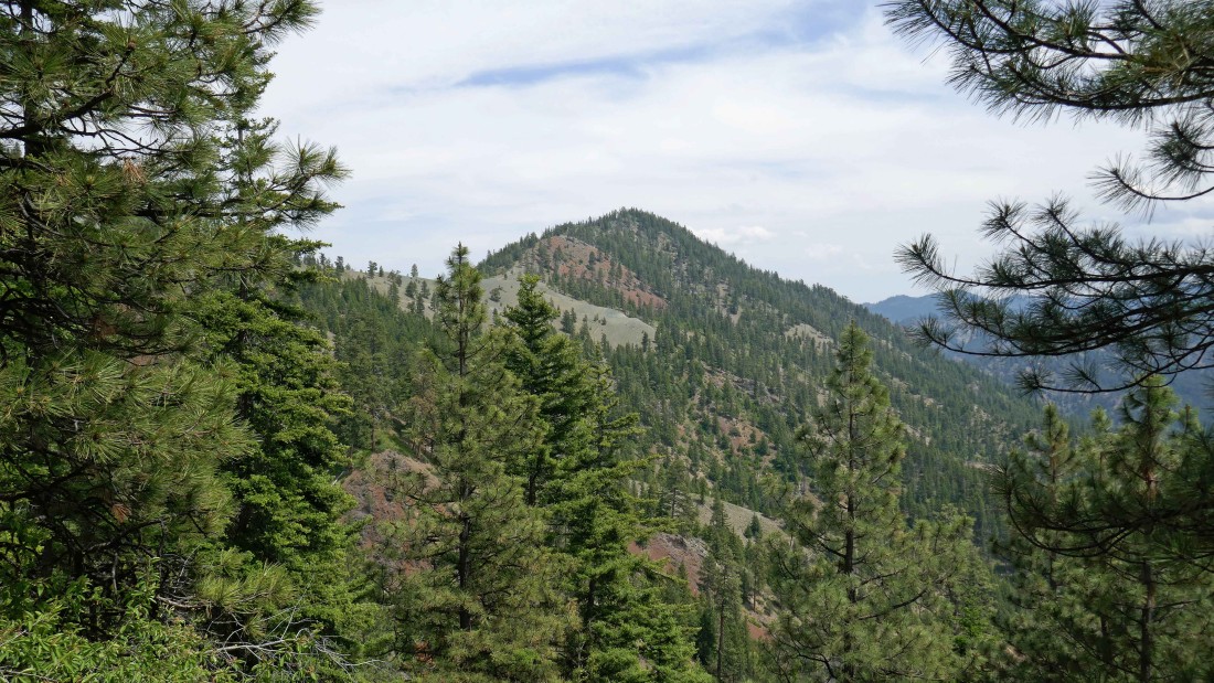
Continuing toward Serpentine Hill looking back at Miller Peak in the distance.
|
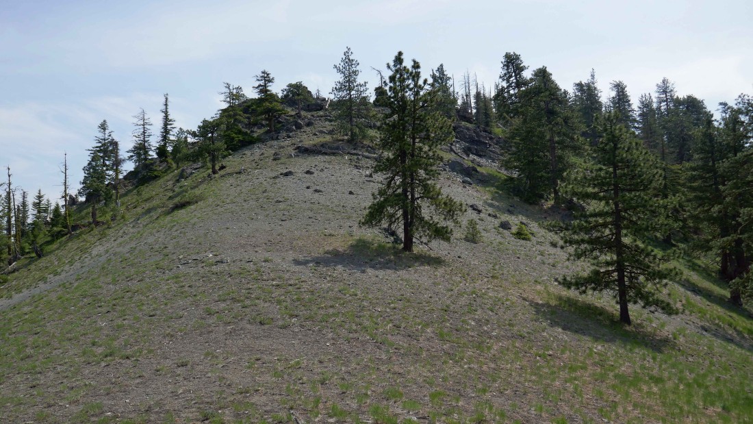
Continuing up Serpentine Hill.
|
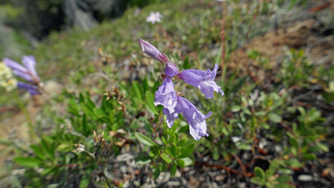
Penstemon.
|
Spring Beauty.
|
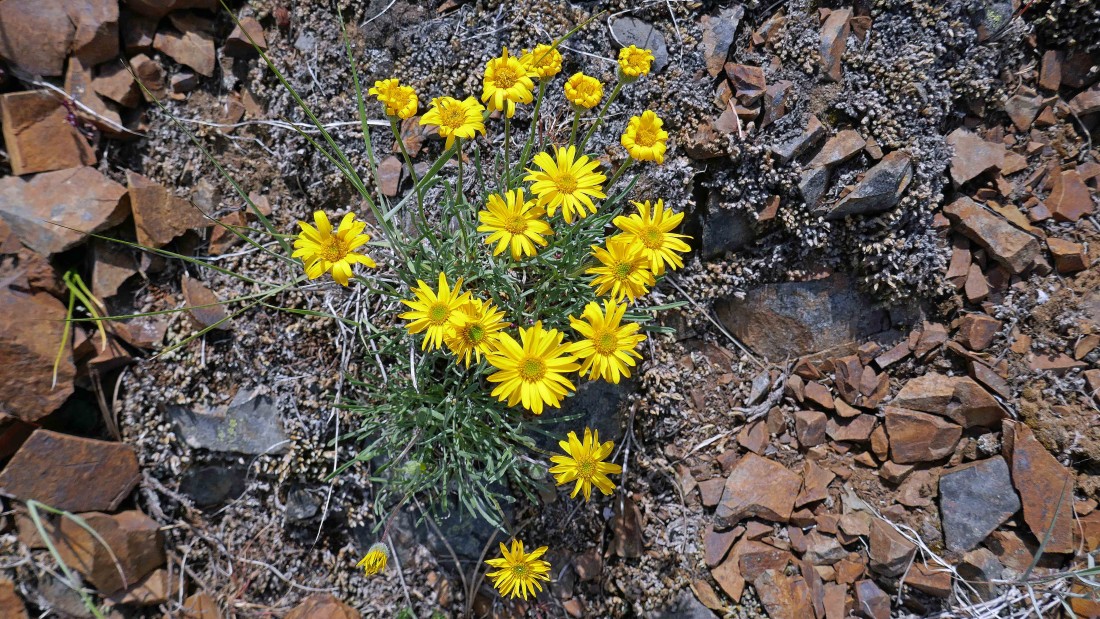
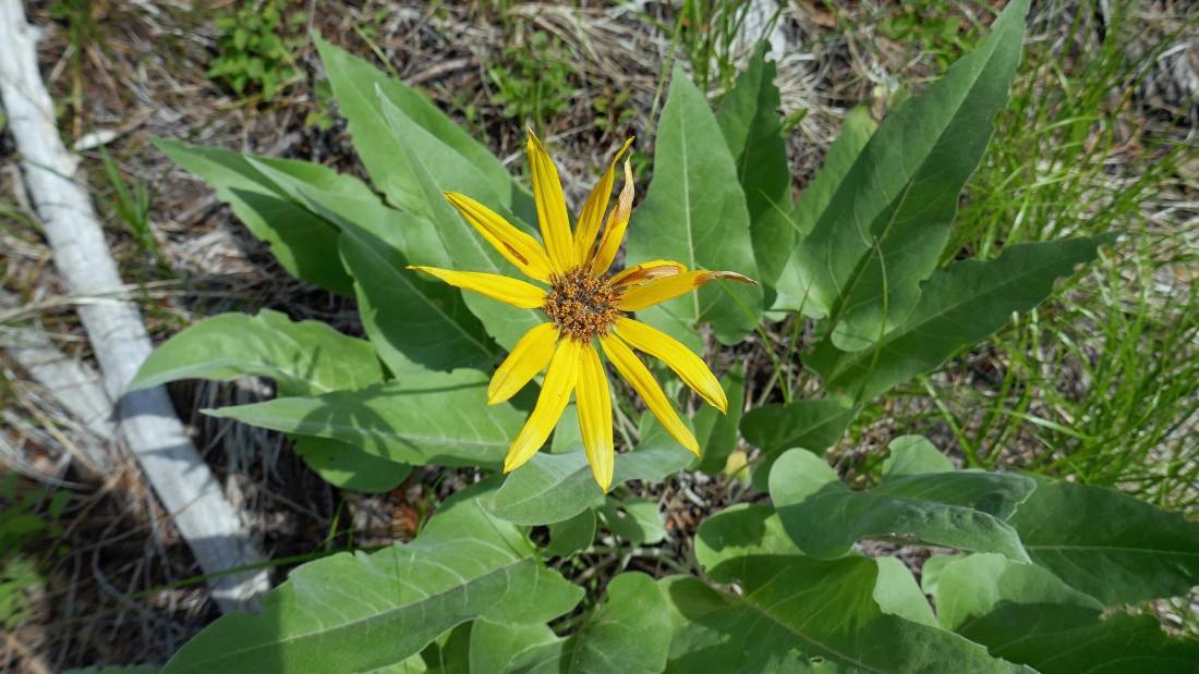
Yellow Aster.
|
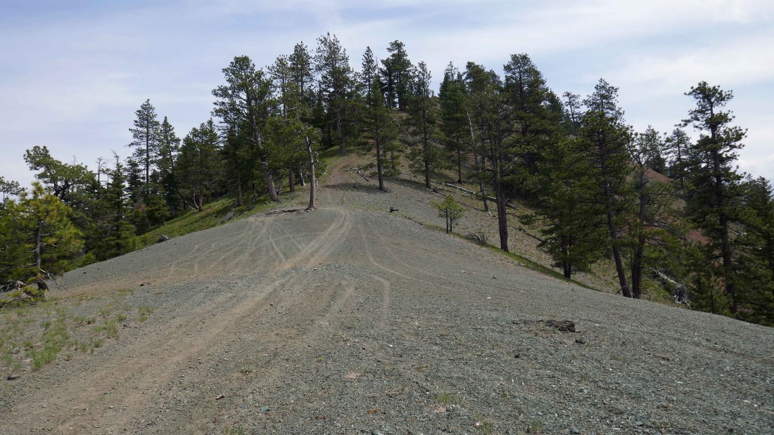
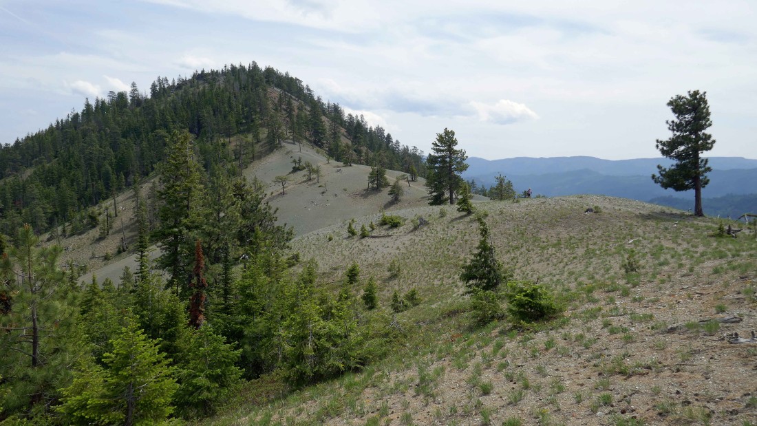
There are several bumps to deal with along the way to the summit of Serpentine Hill.
|
Continuing for the summit of Serpentine Hill... Iron Mountain in the right foreground... with Miller Peak in the distance on the left.
|
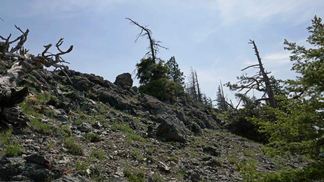
The ridge is rocky in a few places.
|
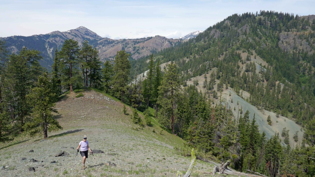
Looking back as we continue toward the summit.
|
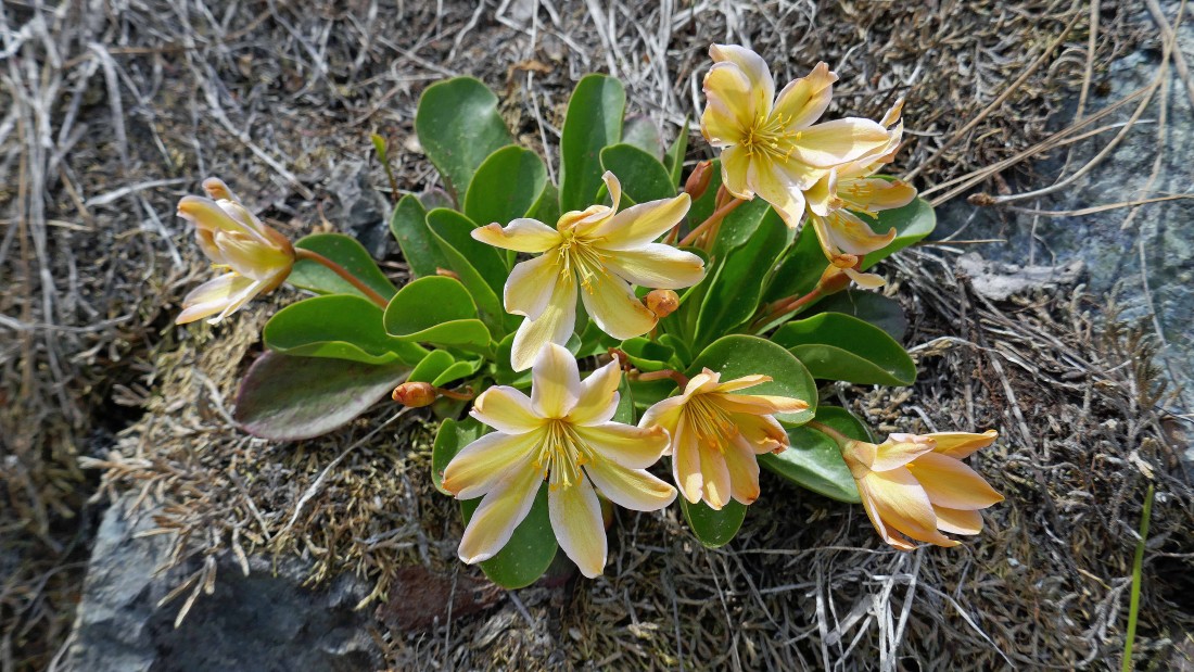
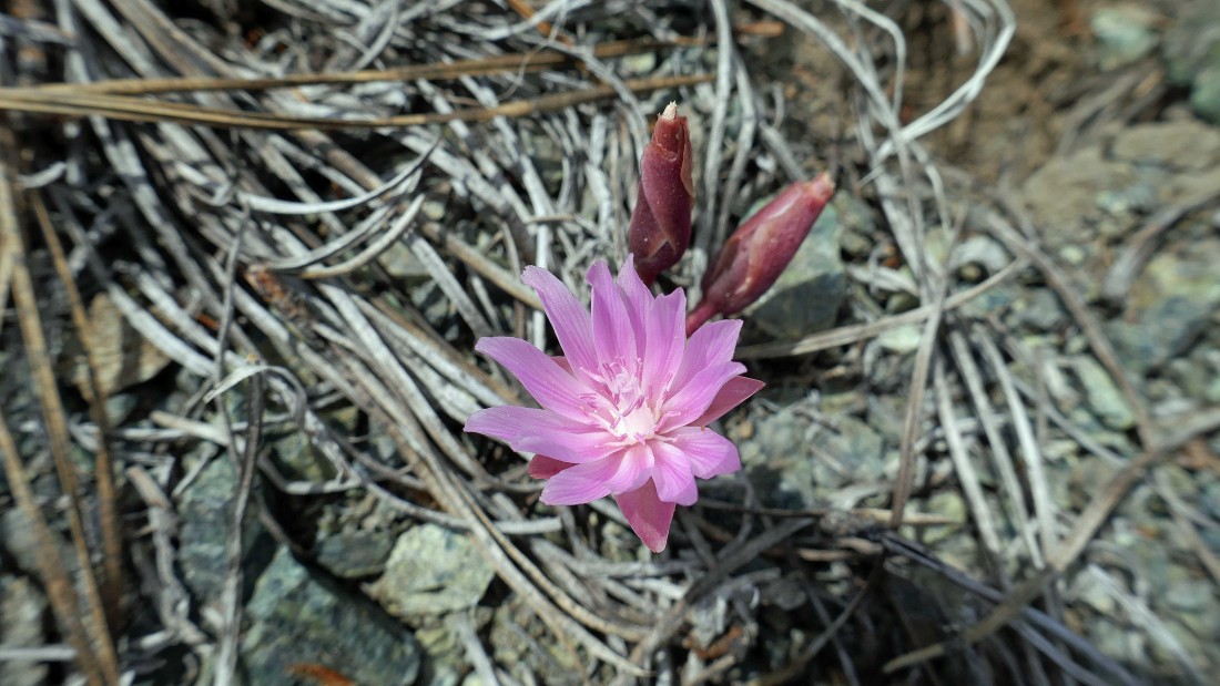
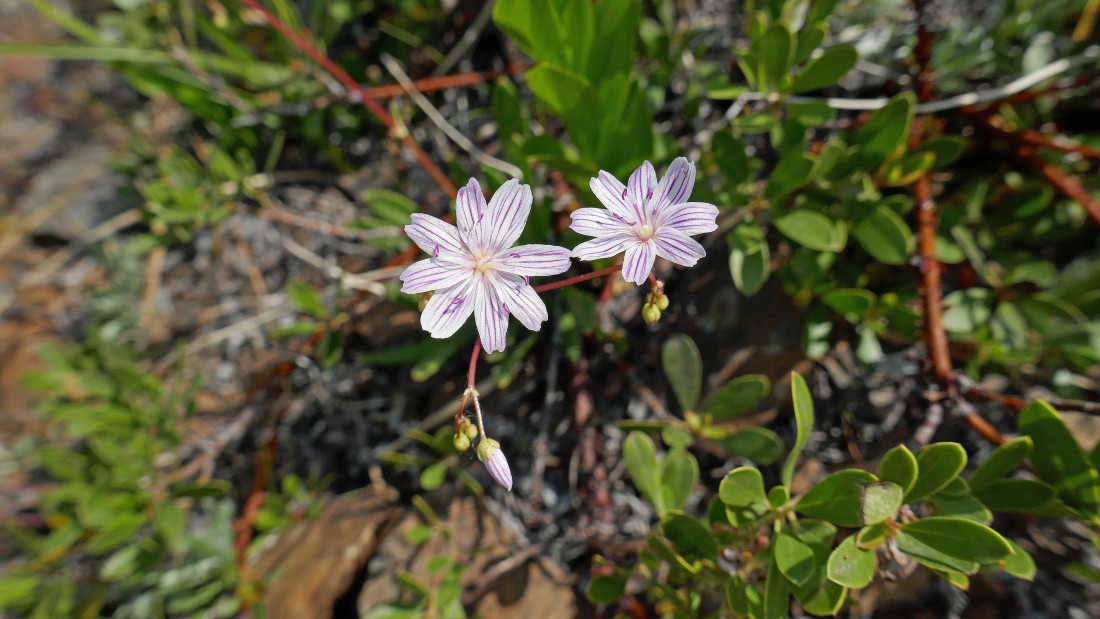
Tweedy's Lewisia... I don't see this one very often.
|
Almost on the summit... Iron Mountain in the center of the photo... with Miller Peak on the left and Wedge Mountain on the right.
|

There were four soaked pages in the summit register... we dried them out... all are members of the nwhikers website... Barry Storer, Suzanne Hartman, Janet Putz and Eric Willhite.
|
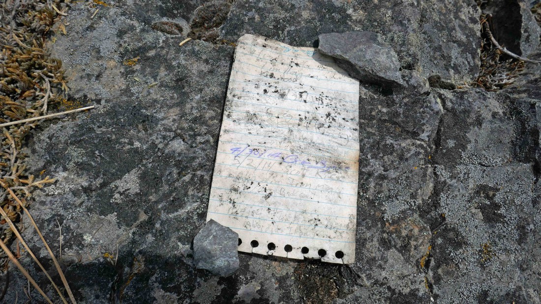
More members of nwhikers... Tim Hagan and Greg (aka EastKing).
|
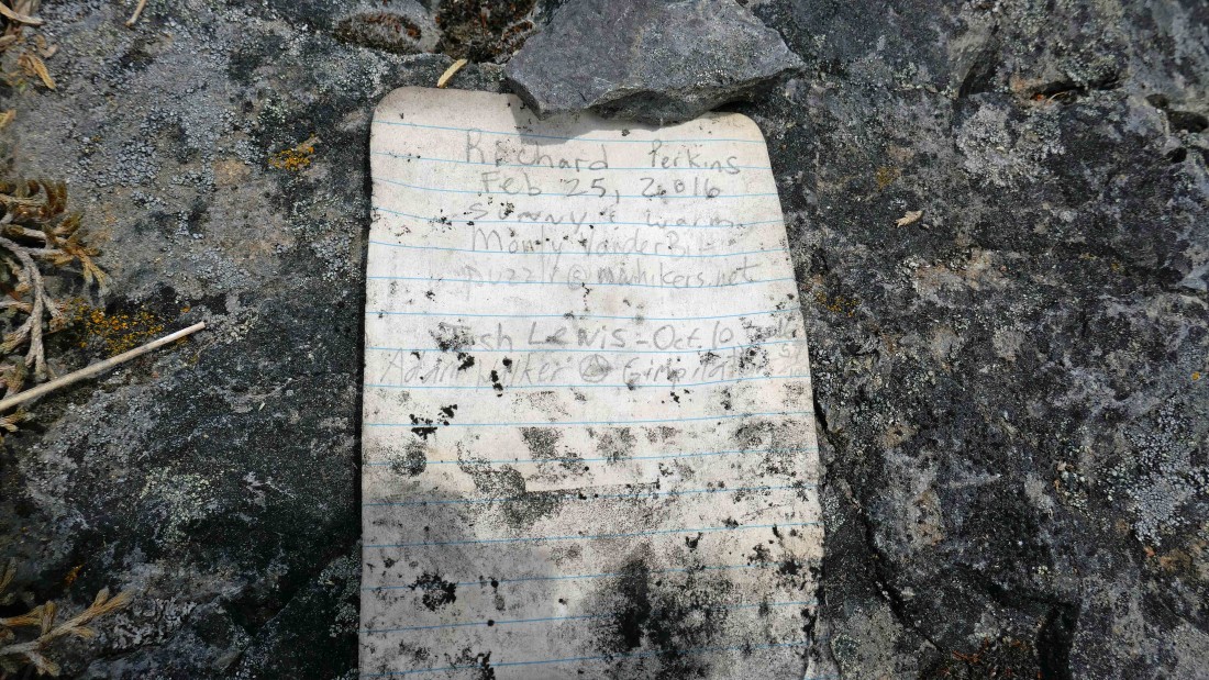
More nwhikers... Richard Perkins (aka RichP), Monty Vanderbilt (aka Puzzlr), Josh Lewis and Adam Walker (aka Gimpilator).
|
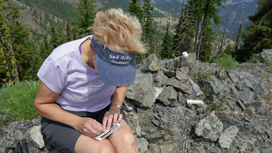
Denali Girl signs us in... we signed the register 10 years ago... howerver, those pages are long gone.
|
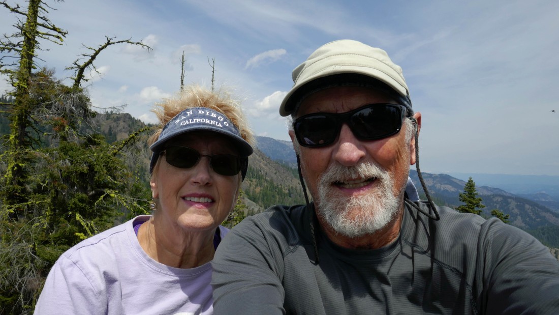
Summit selfie... me with a little devil.
|
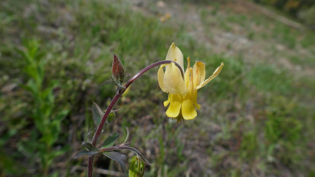
Yellow Columbine.
|
Down from the Serpentine Hill summit and back at the saddle... heading for Road 7322-400 that we will follow back down to the car.
|
We have followed a section of 7322-440 to where it junctions here with 7322-400... uphill to the right will take you on over to near the summit of Iron Mountain... but we will head down to the left.
|
Continuing down 7322-400... looking back at Serpentine Hill.
|
Serpentine Hill as we continue down 7322-400.
|
Continuing down 7322-400... Iron Mountain on the left and Serpentine Hill on the right.
|

Hiking down 7322-400... looking at where it junctions with 7322-410 which we used on the way up to the summit... getting ready to close the loop portion of our hike... from the junction it will be a 1.7 mile hike back to the car... our total trip was 7.7 miles, gaining 2216 feet of elevation.
|
