Iron Peak - 6.15.2018

We used two cars for this thru-hike... leaving one car near Beverly Campground and then driving ~4.5 miles further up FS-9737 and parked here at the Iron Peak Trailhead... the east end of Esmeralda Peaks is in the distance.
|
After hiking a short distance we are looking up valley to Esmeralda Peaks in the left foreground... with Fortune Peak and the south summit of Ingalls Peak further up the valley.
|
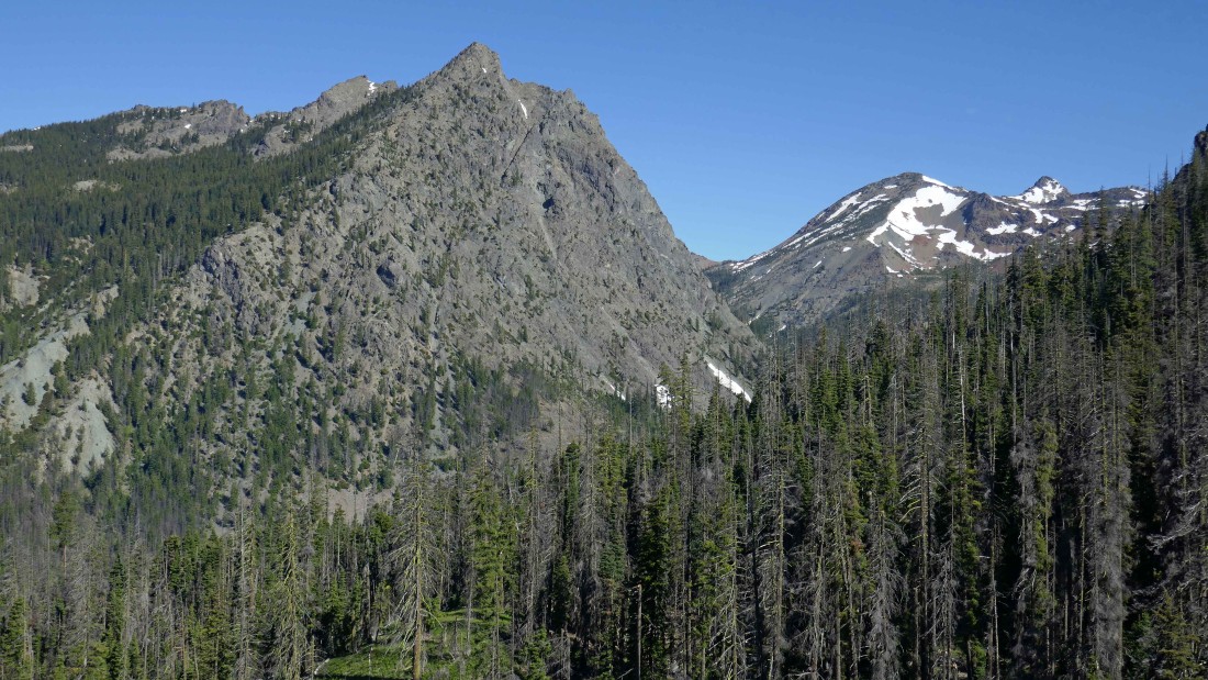
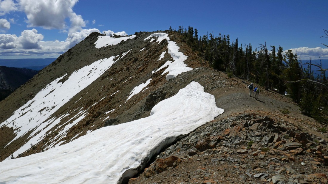
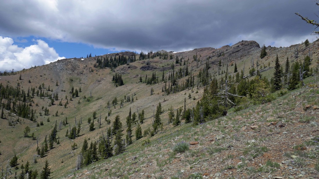
After hiking ~2.75 miles we have reached the saddle separating Teanaway Peak and Iron Peak... we will follow the ridge on the right out to the summit of Iron Peak... Bills Peak is in the left foreground... with Devils Head, Volcanic Neck, Bean Peak, Marys Peak and Judis Peak along the ridge in the distance.
|
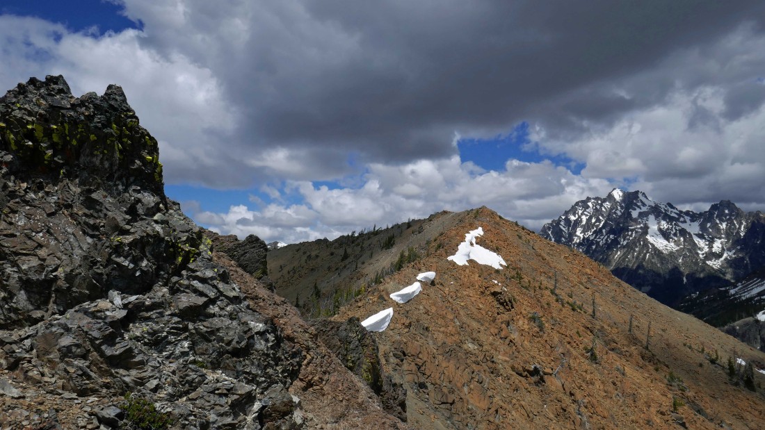
Looking back at Teanaway Peak from the ridge leading to Iron Peak... rocman and rodman are down in the orange colored saddle between Teanaway and Iron.
|
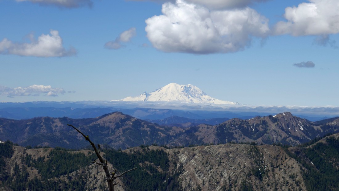
Mt. Rainier from the ridge leading to Iron Peak.
|
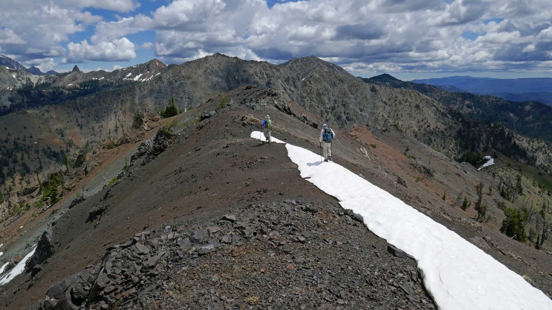
Making progress along the ridge leading to the summit of Iron Peak... looking back at Teanaway Peak... with Sherpa Peak coming into view on the far right.
|
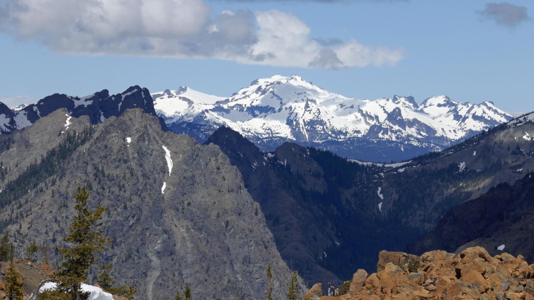
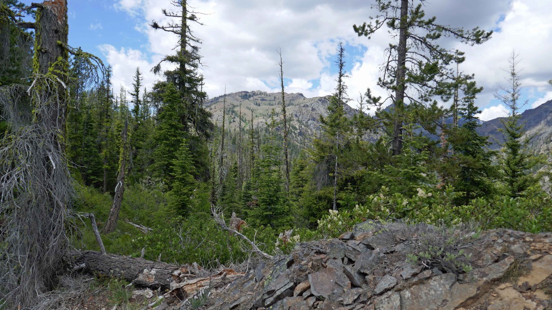
As we get closer to the summit of Iron Peak more and more of the Stuart Range becomes visible.
|
rocman and rodman hiking the ridge toward the Iron Peak summit out there on the left.
|
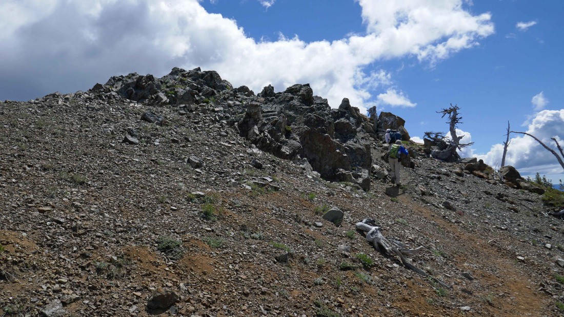
Almost on the Iron Peak summit.
|
On the Iron Peak summit (6510')... now we can see Fortune Peak and the three summits of Ingalls Peak in the distance.
|

Bills Peak in the foreground and the Stuart Range on the horizon... left to right... Stuart, Sherpa, Argonaut (barely visible behind Bills), Colchuck, Dragontail, Little Annapurna and McClellan.
|

Marys Peak and Judis Peak are in the foreground... with Earl Peak in the distance between them... Bean Peak and Navaho Peak are left of Marys.
|
DeRoux, Hawkins and Esmeralda are in the left foreground... with Fortune, Ingalls and Teanaway in the center foreground... with Bills in the right foreground and the Stuart Range behind Bills... the snow capped peaks on the left horizon are some of the Snoqualmie Pass peaks and Dutch Miller Gap peaks.
|
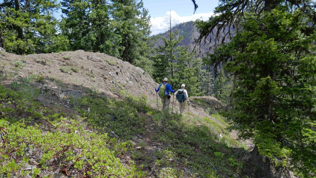
Hawkins and Esmeralda are left-center... and Teanaway Peak in the right foreground.
|
A closeup looking across Fortune Creek Pass to Mt. Hinman, Mt. Daniel, Dip Top Peak, Lynch Peak and Cathedral Rock... Esmeralda Peaks is in the left foreground.
|

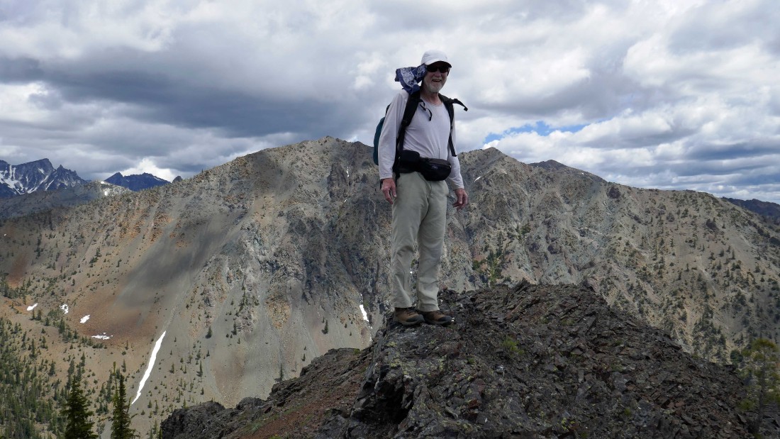
Summit selfie... with rodman and rocman behind me.
|
We will continue down Iron's SSE ridge and follow it back to the car we stashed near Beverly Campground earlier in the day.
|
Looking back at the Iron Peak summit as we head down the SSE ridge.
|
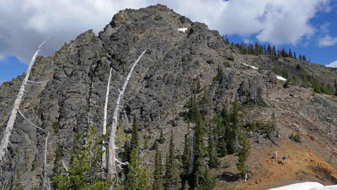
Nearing a prominent rock outcropping on Iron's SSE ridge.
|

Lets see if we can get up on the prominent rock outcropping.
|
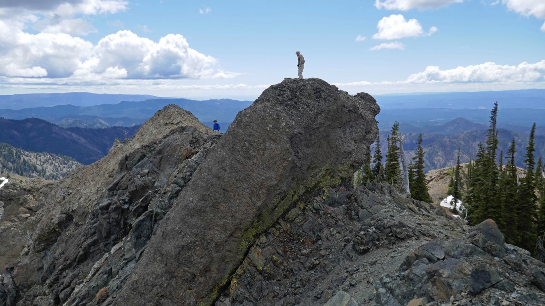
rodman watches as rocman stands on the prominent rock outcropping.
|
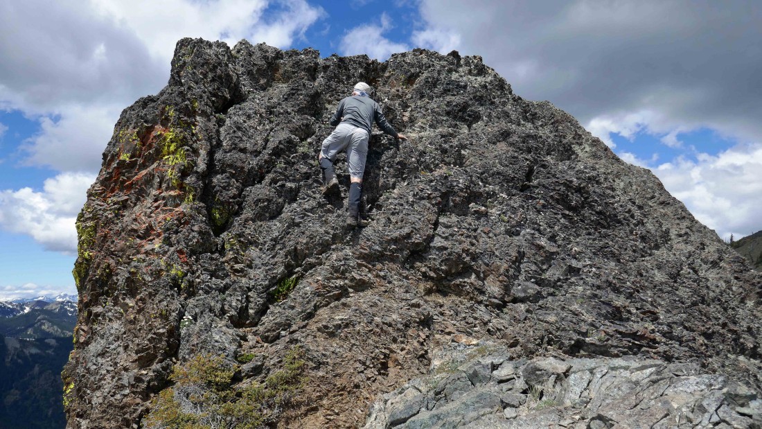
My turn to do the Class 3 moves to reach the top of the rock outcropping.
|

Ta-da!
|
Leaving the prominent rock outcropping on the left and continuing down Iron's SSE ridge... the summit of Iron Peak in the right foreground... and Mt. Stuart in the distance on the far right.
|
Looking over at Marys Peak and Judis Peak as we continue along the SSE ridge of Iron Peak.
|
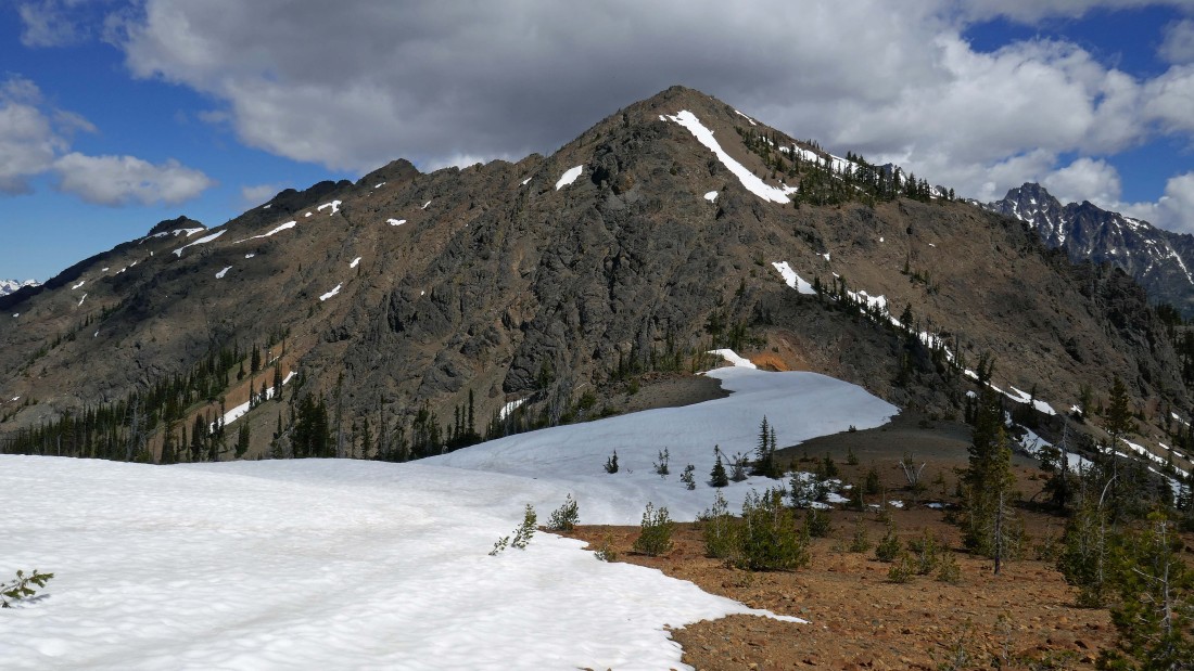
Looking back at Iron Peak in the center... with Mt. Stuart and Sherpa Peak on the far right.
|
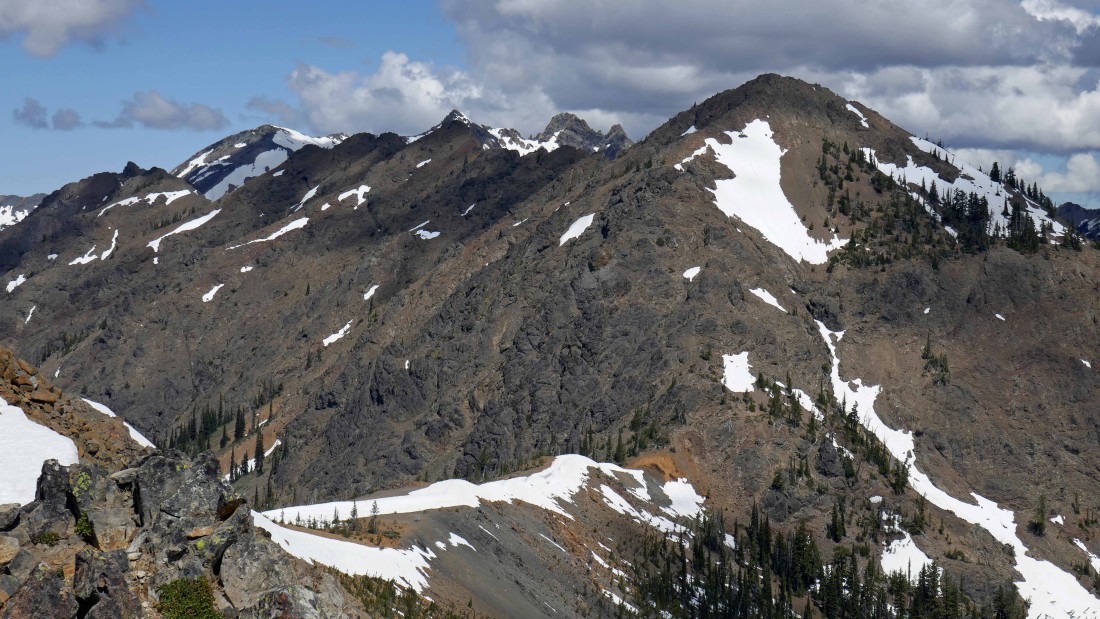
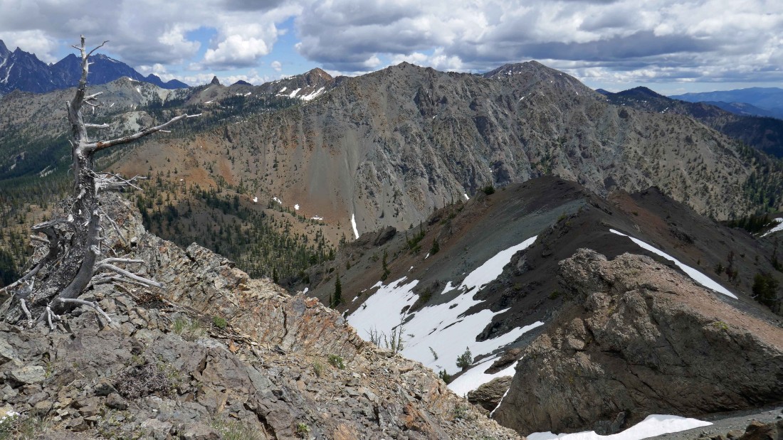
Working our way down Iron's SSE ridge... Iron Peak is the orange colored peak... with Bills Peak, Devils Head and Volcanic Neck in the foreground... and the Stuart Range in the distance.
|
Continuing along the SSE ridge of Iron Peak.
|

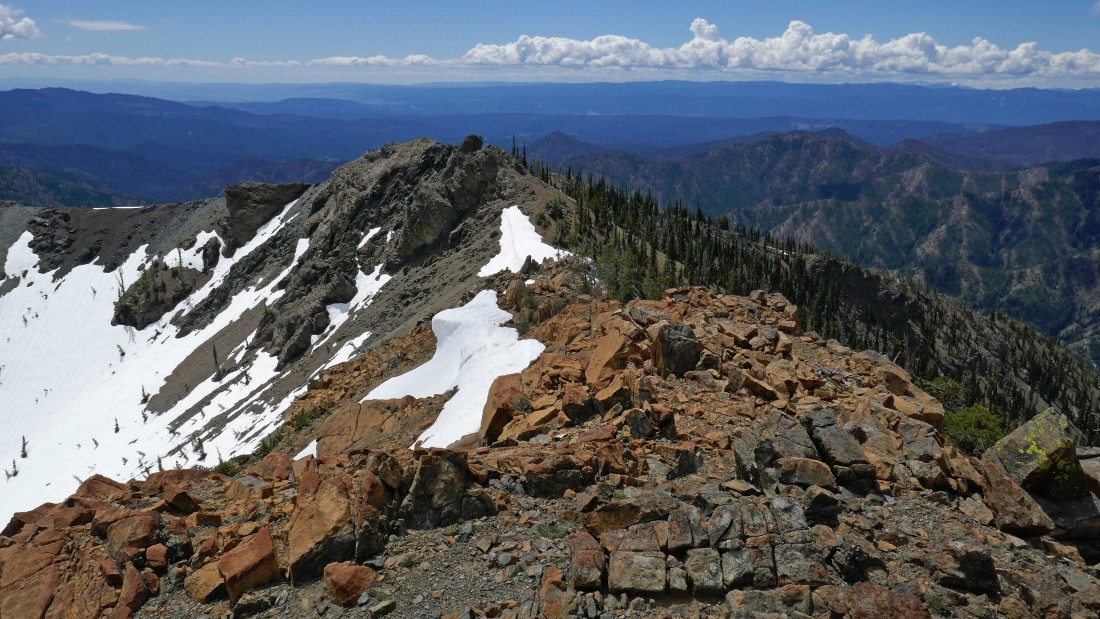
We will work our way down to the lower part of the ridge in the center of the photo.
|
Looking back at our ridge route off of the Iron Peak summit... Teanaway Peak on the far right.
|

On the SSE ridge of Iron Peak... with Bills Peak in the right foreground... and Mt. Stuart through the gap.
|

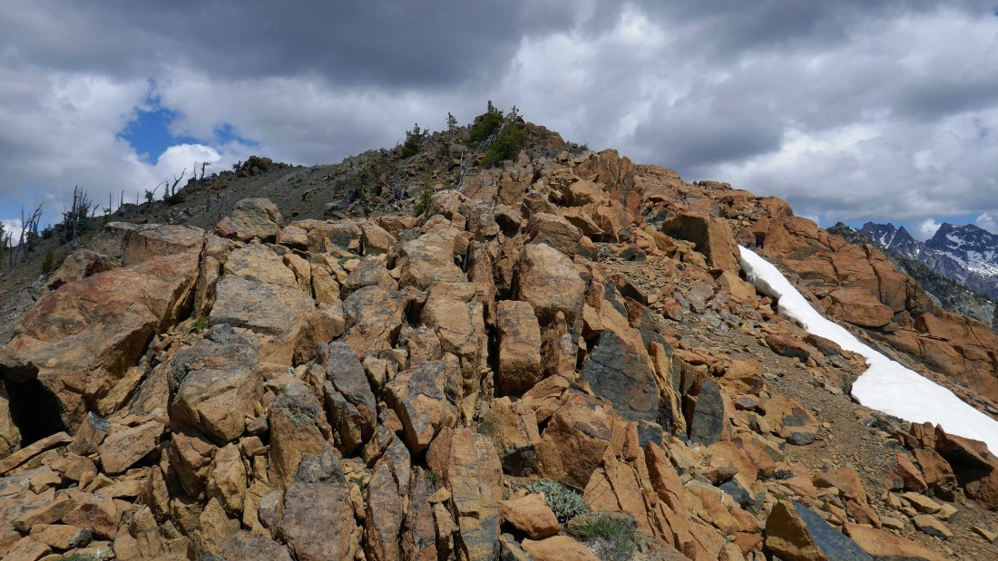
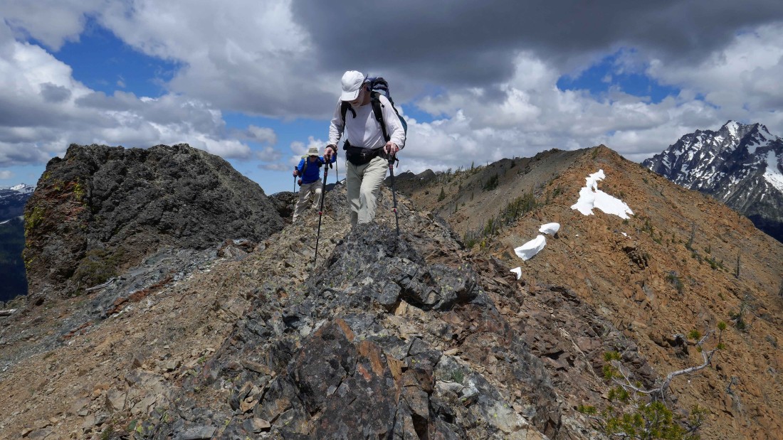
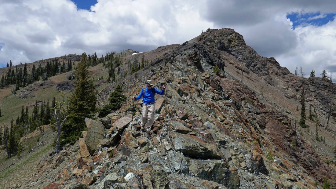
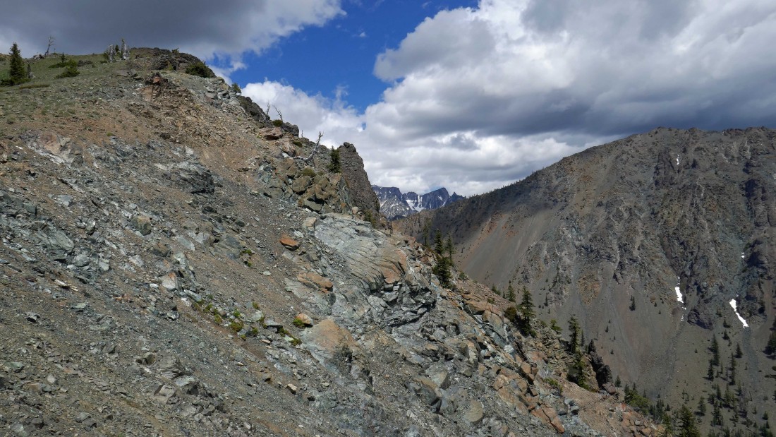
The ridge crest of the SSE ridge is very rocky in places.
|
Continuing down the SSE ridge of Iron Peak.
|
Looking back as we descend the SSE ridge of Iron Peak.
|
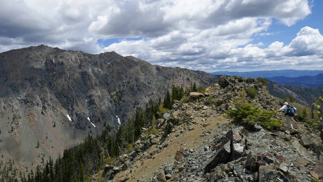
rocman on the SSE ridge of Iron Peak... standing between Marys Peak and Judis Peak on the ridge behind him.
|
Looking back at our ridge route... Teanaway Peak is in the distance on the right.
|
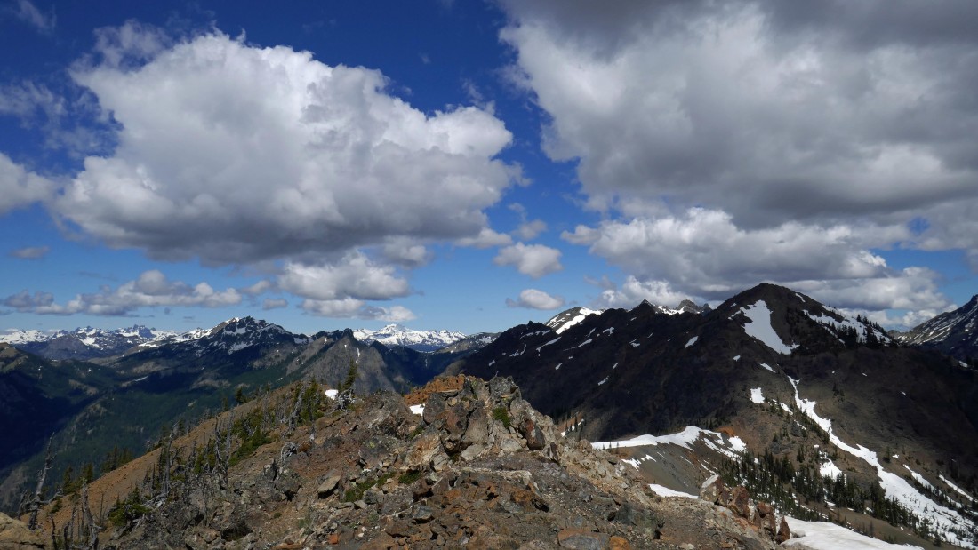
Looking through the gap at the Dragontail Plateau and Little Annapurna.
|
Looking back at our ridge route.
|

Getting ready to move into the treed portion of the ridge.
|

In the treed portion of the ridge... looking back at the open portion of our ridge route.
|

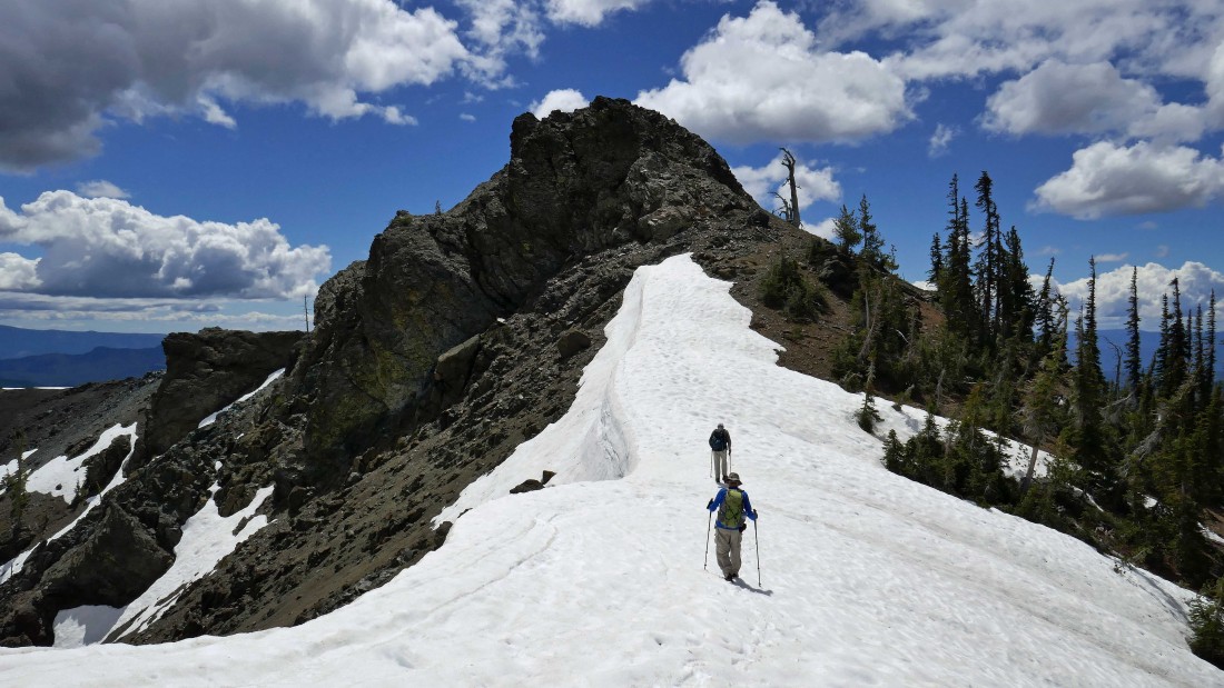
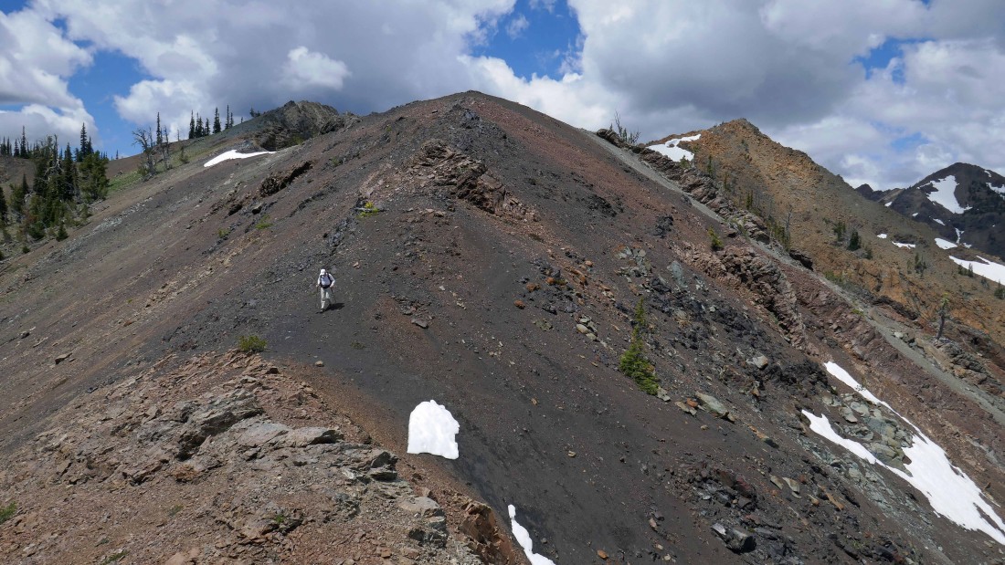
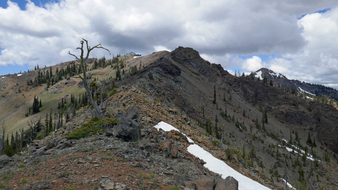
There are several ups and downs along the last couple miles of Iron's SSE ridge.
|
Looking back at our ridge route.
|

rodman and rocman standing on Point 4747 along the SSE ridge... still an hour away from our car.
|
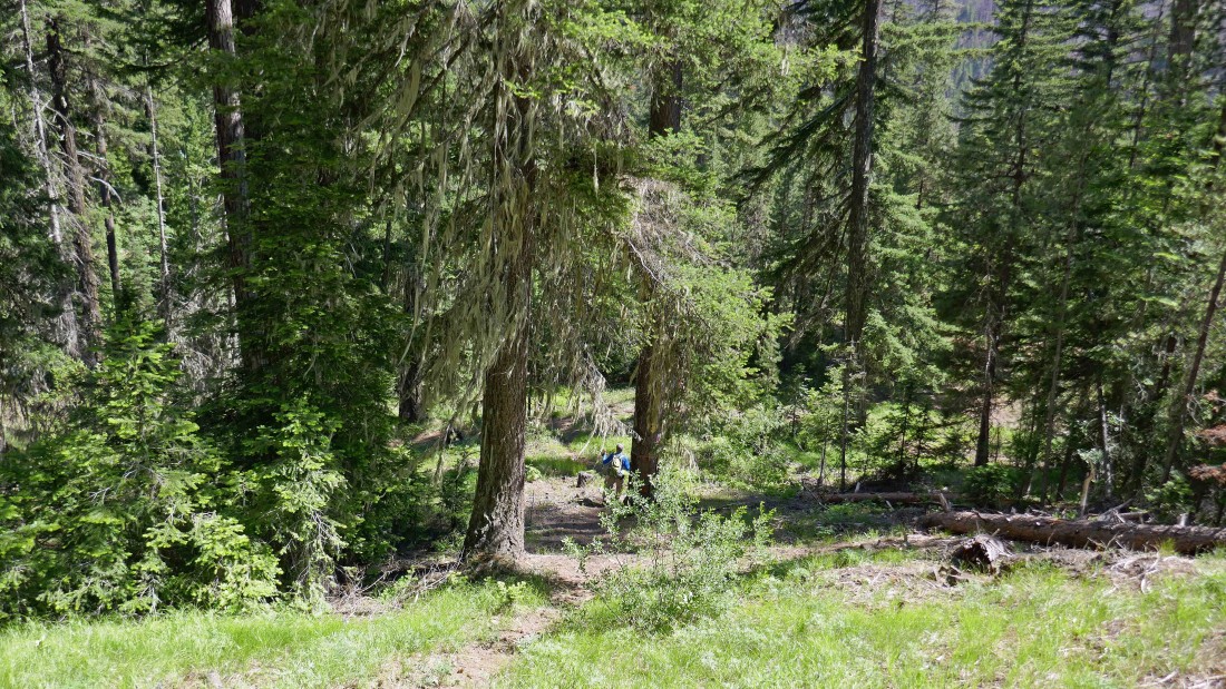
The path along the ridge becomes much more defined along the last mile.
|
So close to our car now... we will pile into rocman's car and drive back up the road to my car at the Iron Peak trailhead... our thru-hike was 7.1 miles, gaining 2718 feet of elevation.
|
