Miller Peak - 6.26.2018
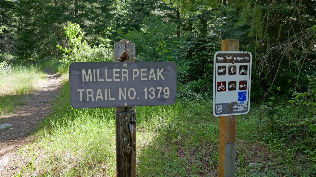
From 29 Pines Campground, drive the N. Fork Teanaway Road (aka FS-9737) for 1.3 miles and turn right onto FS-9703... then drive FS-9703 for 3.4 miles to the end of the road and start hiking on Miller Peak Trail #1379.
|
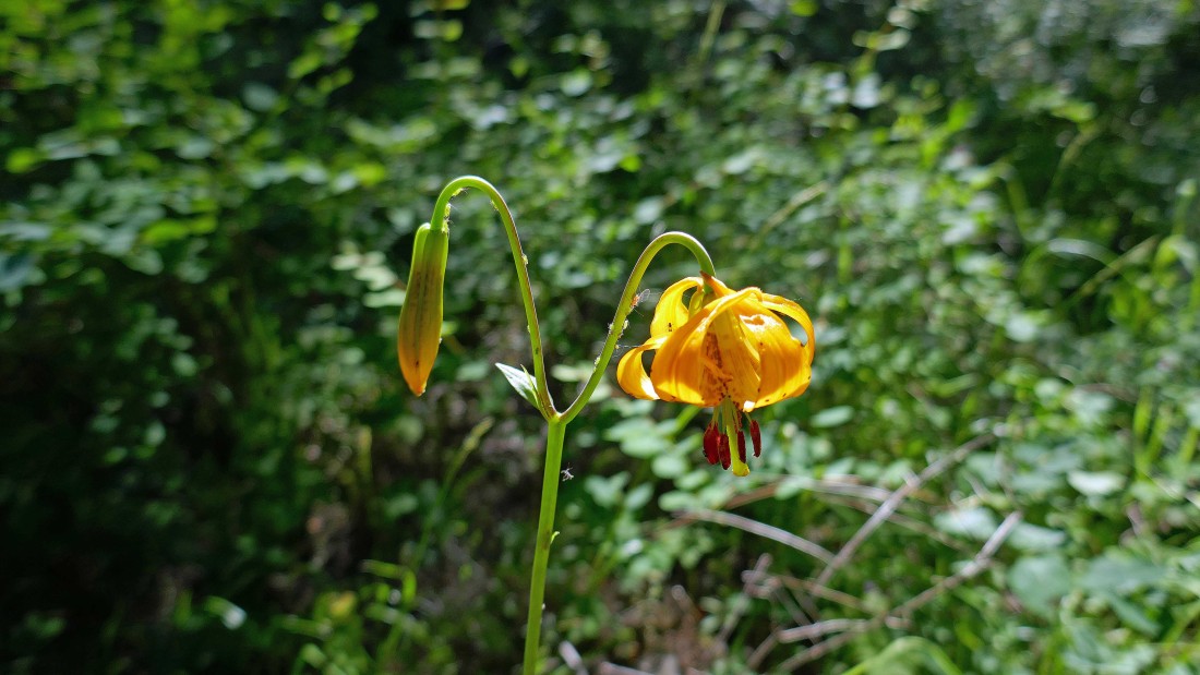
Lots of Tiger Lilies near the beginning of this hike.
|
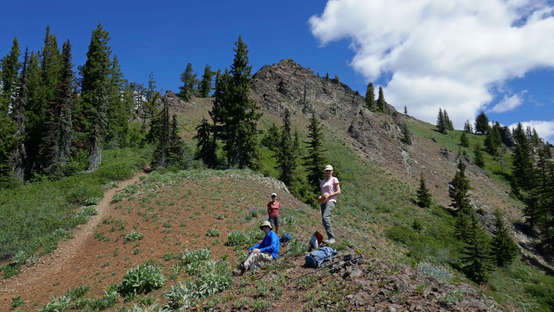
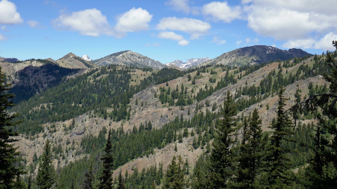
After hiking the Miller Peak Trail for 3.25 miles we came out into the open at ~5280 feet.
|
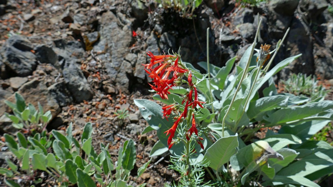
Scarlet Gilia (aka Scarlet Trumpet and Scarlet Skyrocket).
|

Spring Beauty.
|
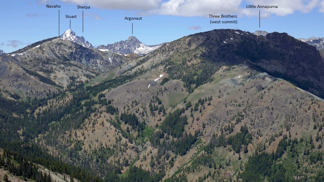
Continuing on the Miller Peak Trail... Freedom Peak (aka Little Navaho) and Navaho Peak in the left center of the photo with Mt. Stuart in the distance between them... the west summit of Three Brothers in the right foreground... with Colchuck Peak and Dragontail Peak through the gap in the center of the photo.
|
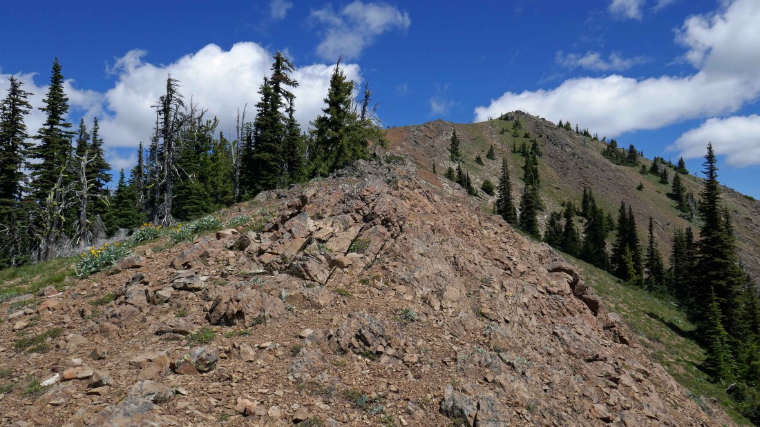
Our first good look at the Miller Peak summit up there on the right.
|

Bitterroot (aka Lewisia rediviva).
|
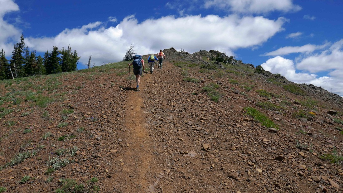
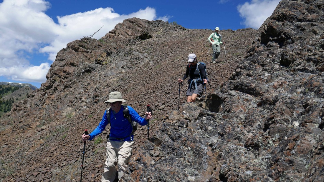
Nearing the summit of Miller Peak.
|
After hiking 4.5 miles we have reached the summit (6402') of Miller Peak and are greeted with this view... foreground peaks left to right... Freedom, Navaho and Three Brothers... with the Stuart Range behind them... Earl, Fortune and Ingalls are in the distance in the left center of the photo.
|
Some peak identification from the summit of Miller Peak.
|

More peak identification from the summit of Miller Peak.
|

Summit selfie... rodman, BarbE, ragman and Karen.
|

On the way back down from the summit BarbE got this shot of me leading the troops off trail and onto the SW ridge of Miller Peak... where we will lose 500 feet of elevation before rejoining the trail.
|
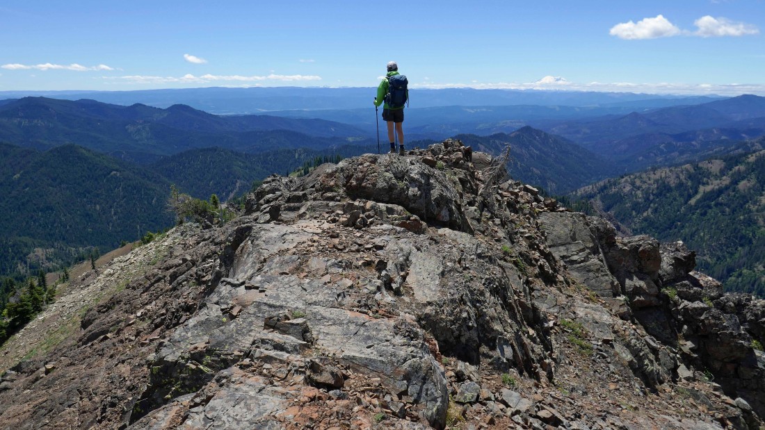
Karen... looking out into the great wide open from the SW ridge of Miller Peak... Mt. Rainier on the horizon.
|
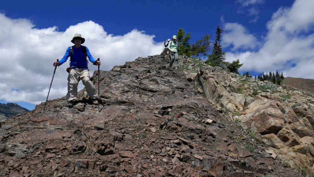
Coming down the SW ridge of Miller Peak.
|
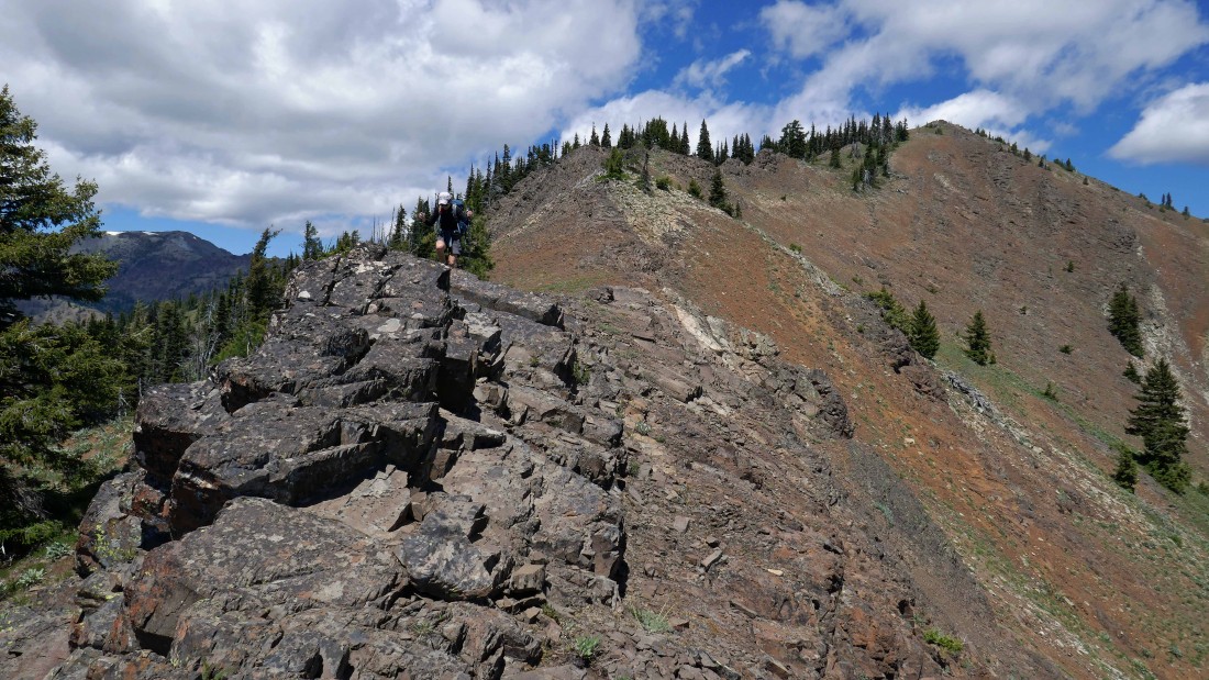
Coming down the SW ridge of Miller Peak... the Miller Peak summit is up there on the right.
|
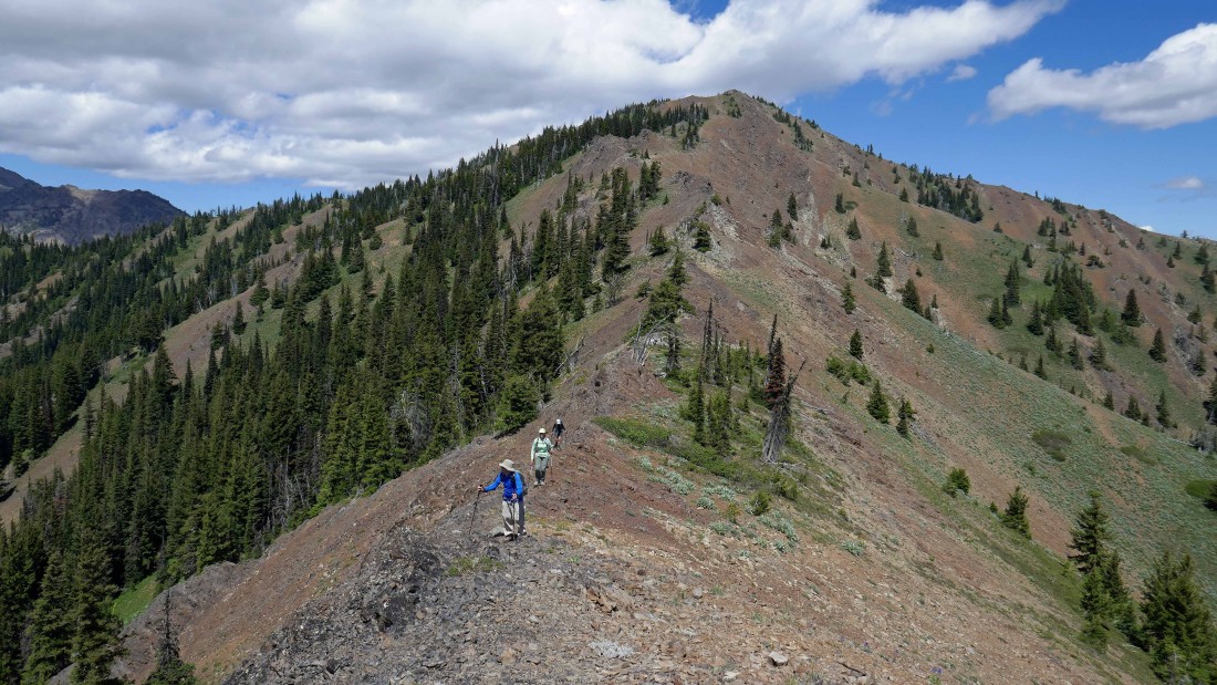
Still working the SW ridge of Miller Peak.
|
At ~5540 feet we got cliffed out and decided to get off of the ridge and rejoin the trail.
|
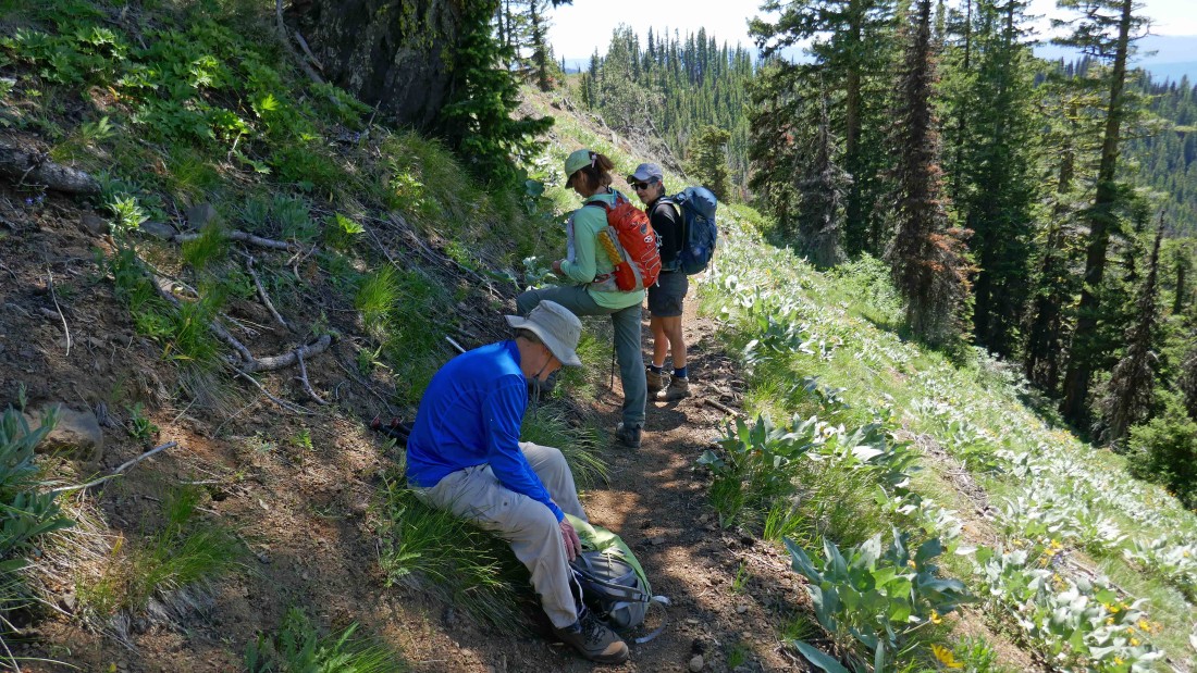
Back on the Miller Peak trail... which we will follow for 3.3 miles back to our car... our roundtrip was 8.7 miles, gaining 3187 feet of elevation... we saved .3 miles of distance by taking Miller's SW ridge coming down, but it doesn't really save any time.
|
