Silver King, The Throne, Silver Queen and Summit House - 7.1.2018
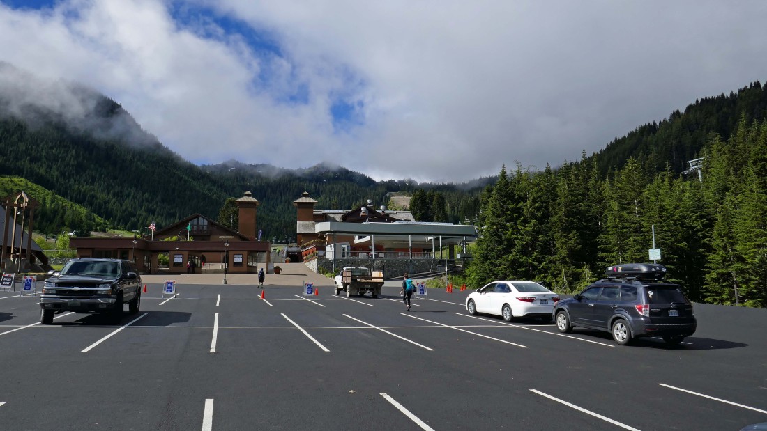
We parked (~4360') at the Crystal Mountain Ski Area.
|
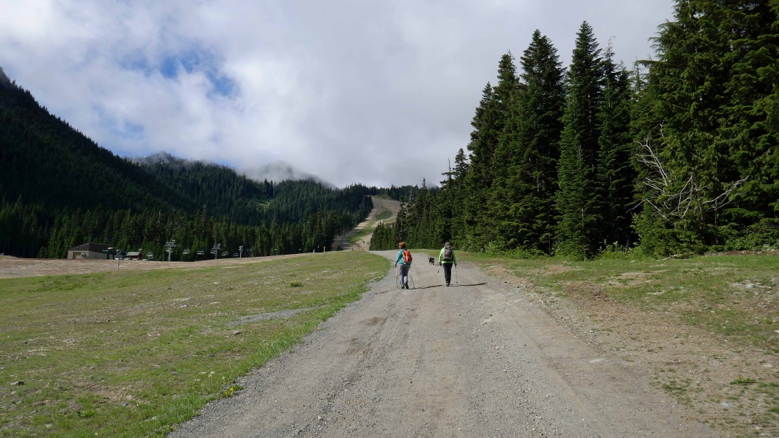
Leaving the main lodge we will hike up to the top of the Quicksilver run.
|
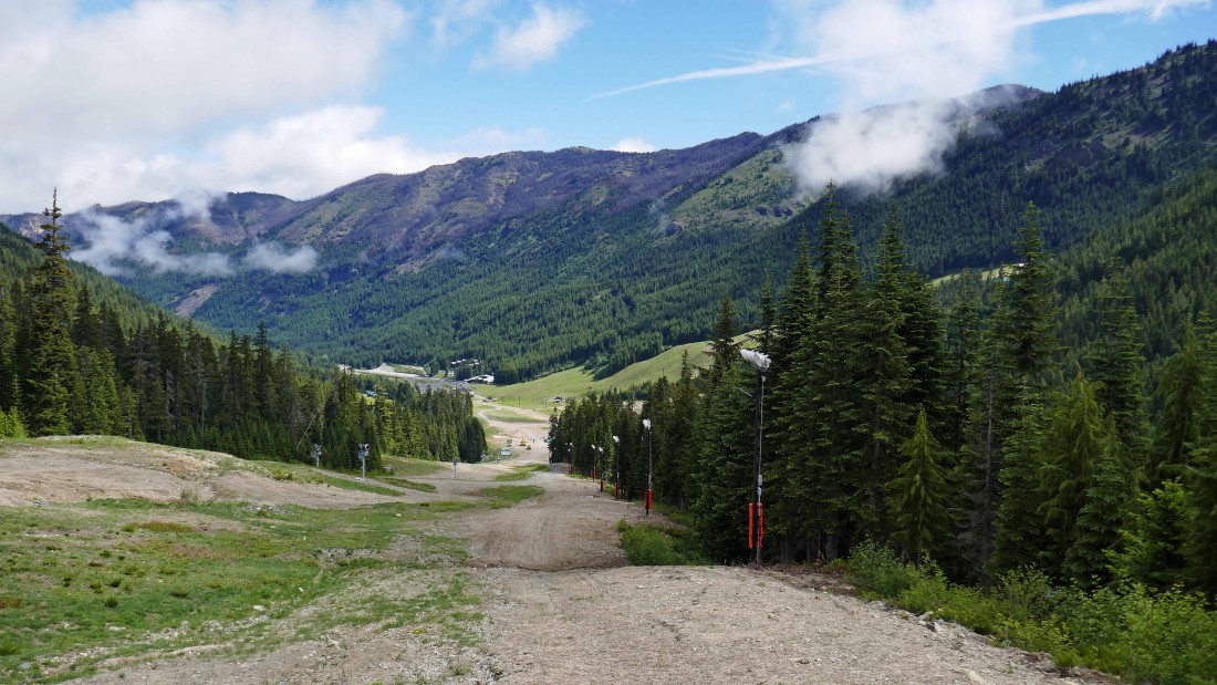
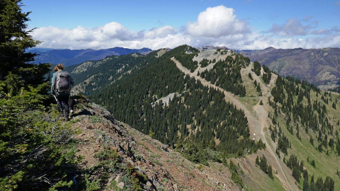
Looking back down the Quicksilver Run to the main lodge... in the distance you can see damage on the hillside from last year's Norse Peak Fire.
|
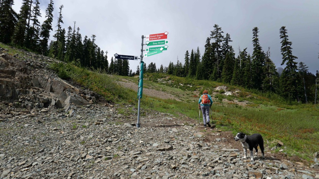
At the top of the Quicksilver Run we picked up an obvious path that continued uphill.
|
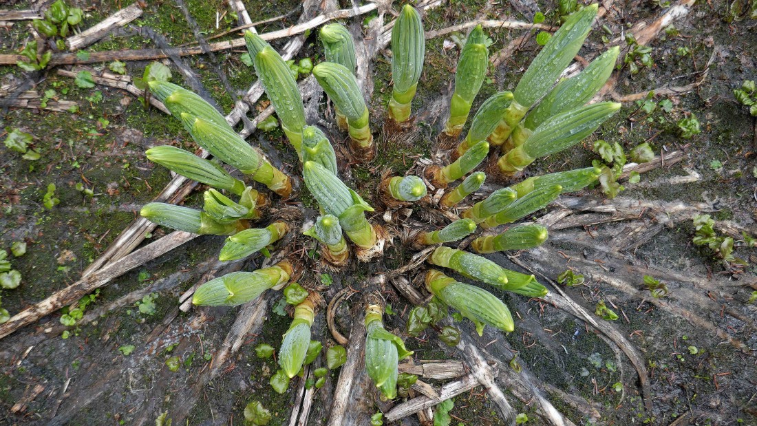
Skunk Cabbage getting ready to explode.
|
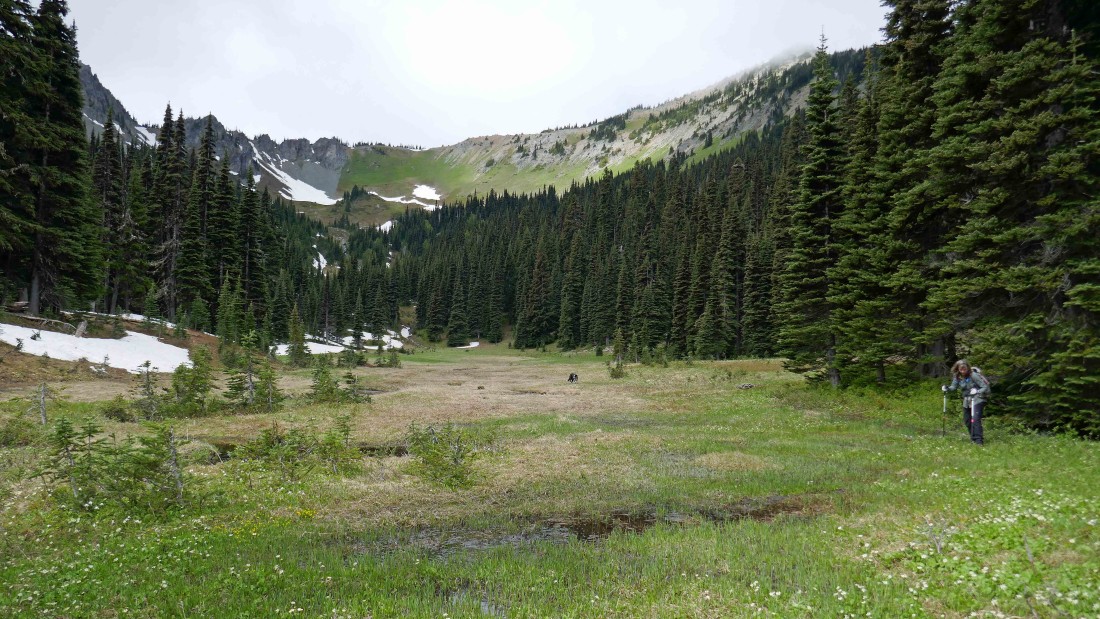
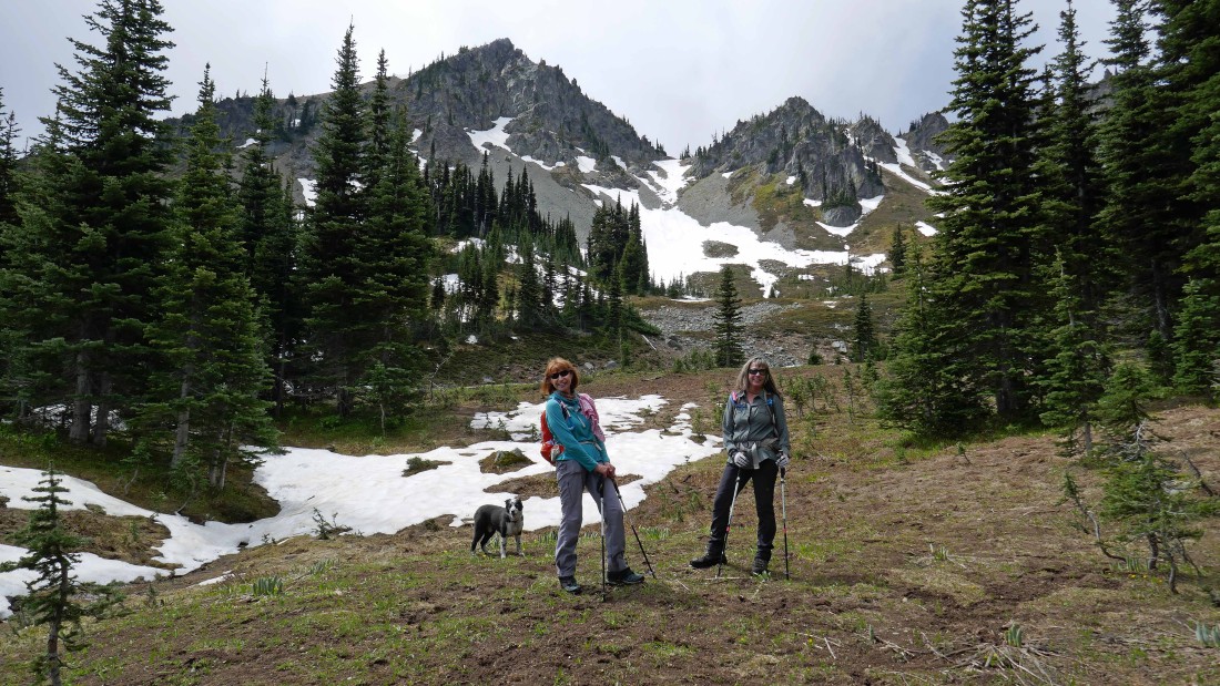
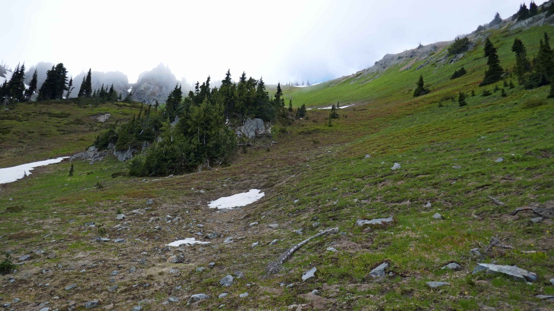
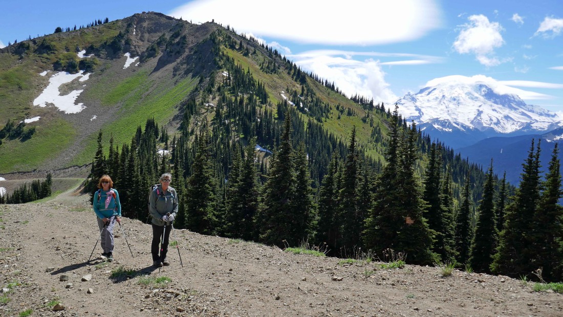
Working our way up Silver Basin... heading for the ridge above.
|

Continuing up Silver Basin... heading for the sunshine up there on the ridge.
|
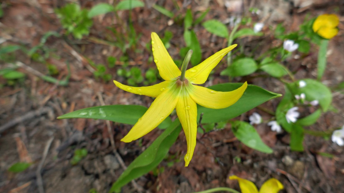
Glacier Lily.
|

Marsh Marigolds.
|
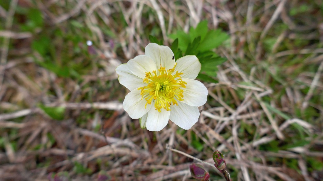
Marsh Marigold with a bug.
|
Continuing up Silver Basin... with Three Way Peak above.
|
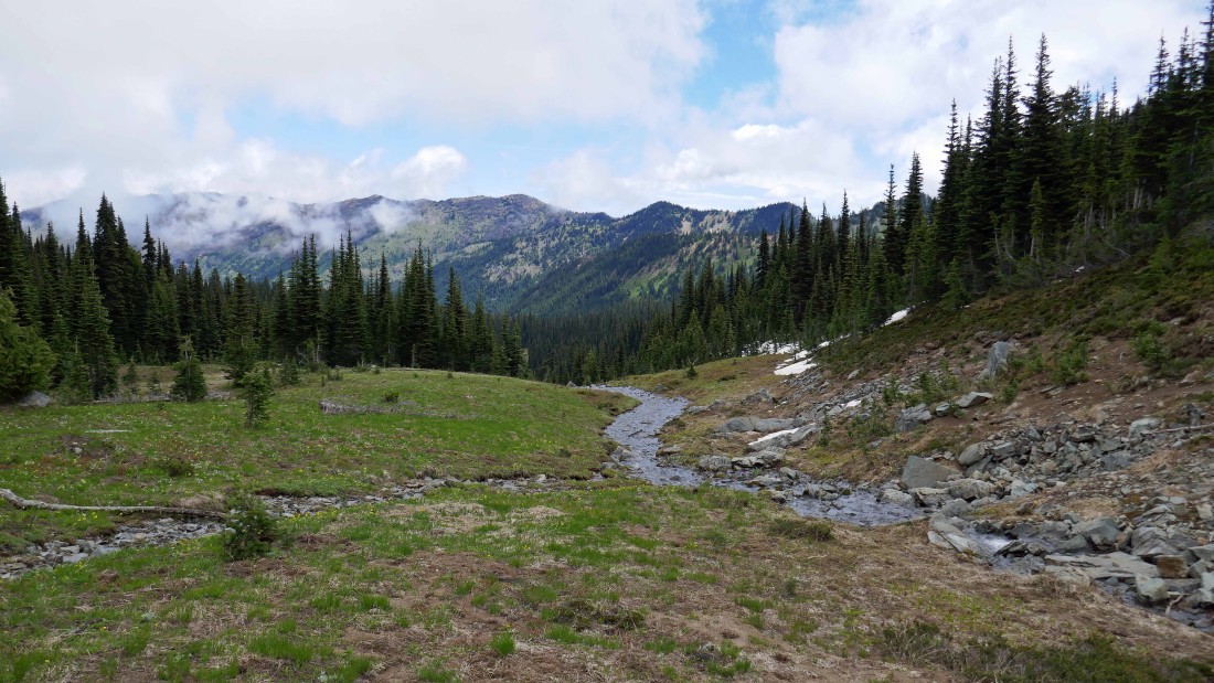
Looking back down Silver Basin as we continue higher up.
|
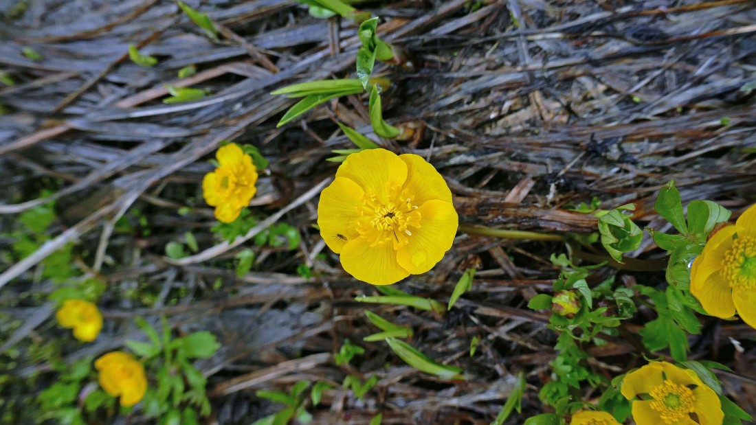
Yellow Marsh Marigold.
|
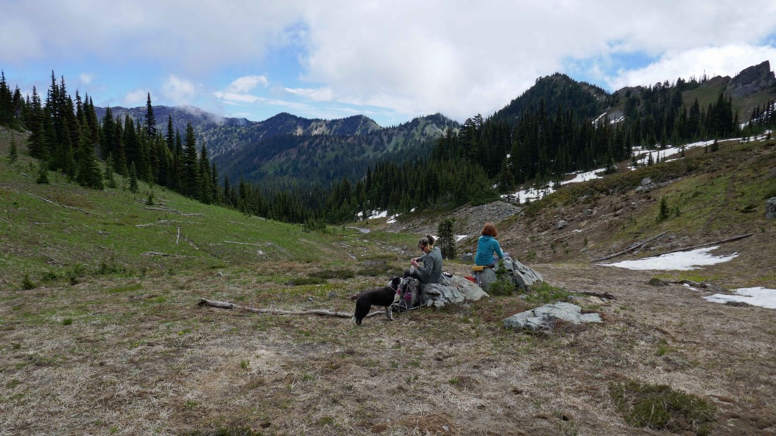
Izzy gets a treat in Silver Basin.
|
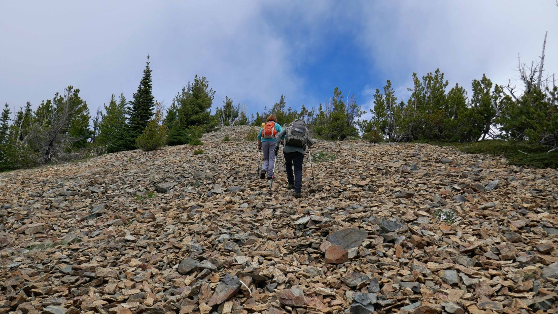
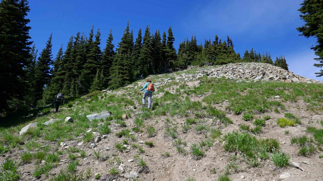
Heading for that little piece of sunshine on the ridge.
|
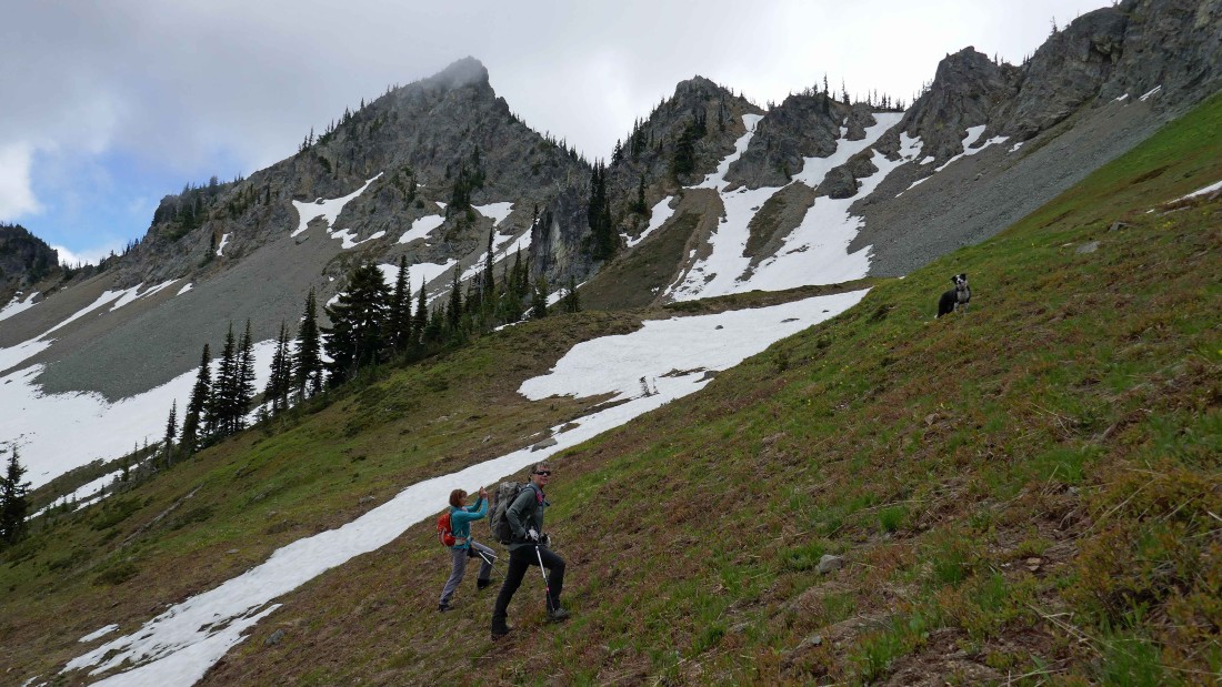
The closer we get to the ridge, the steeper the terrain... Three Way Peak on the left.
|
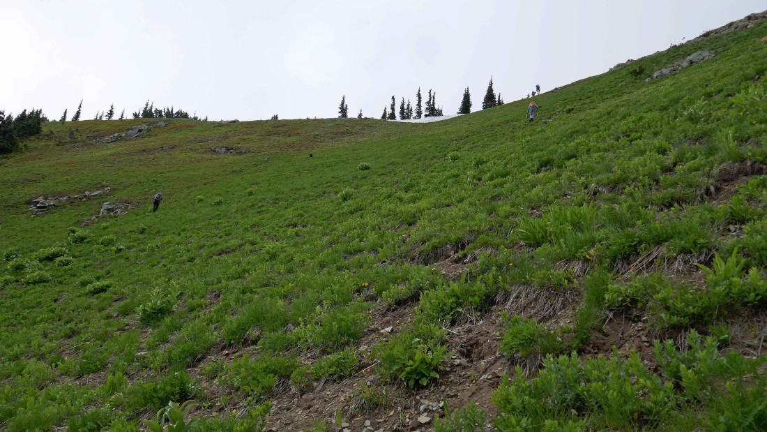
Up and up.
|
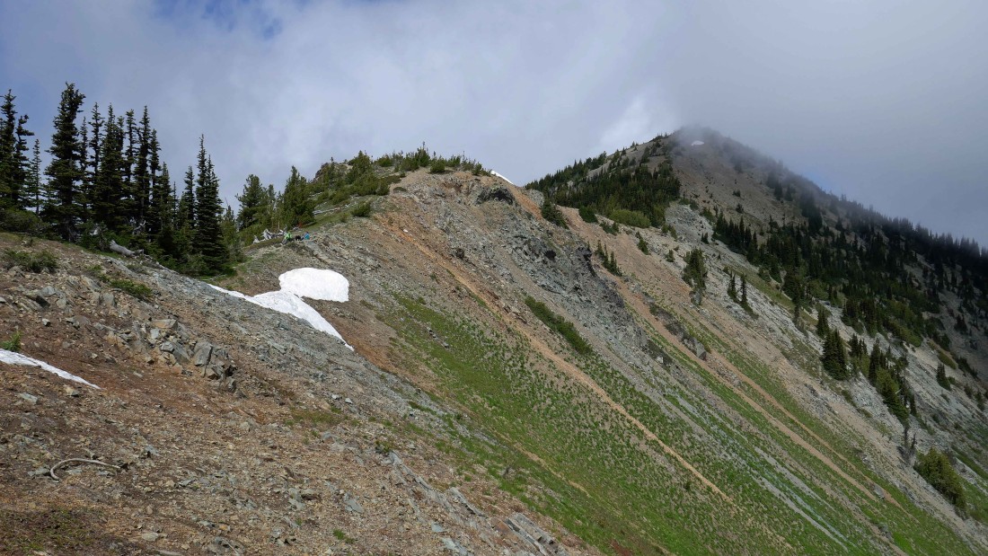
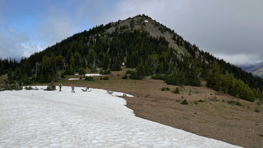
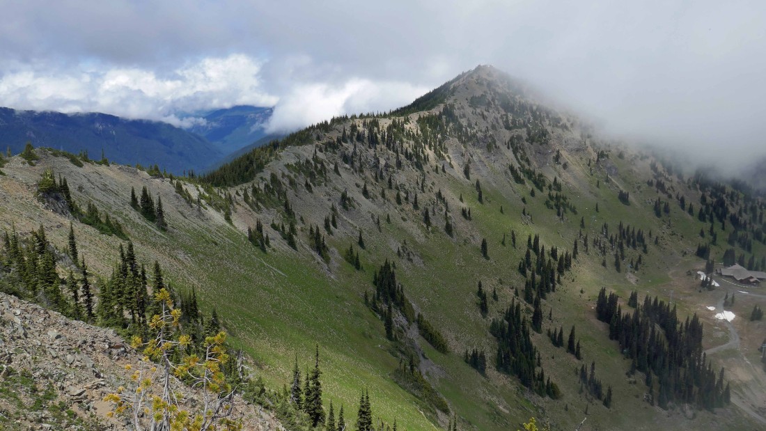
After hiking 2.6 miles we have reached the ridge (~6630') on the south side of Silver King on the far right.
|
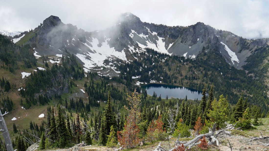
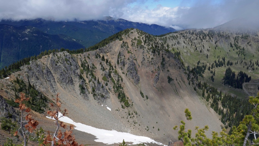
We hiked a short distance south of where we gained the ridge so that we could get a good view of Crystal Lake... Chinook Peak is in the center of the photo... with Peak 6708 on the left.
|
Three Way Peak on the far left to Crystal Lake and a cloud covered Crystal Peak on the far right.
|
|
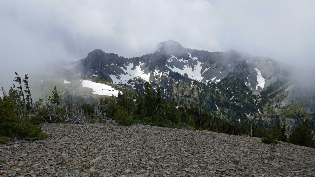
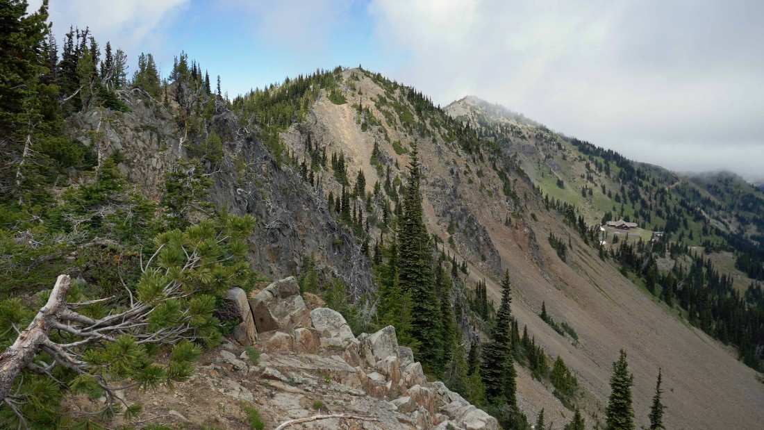
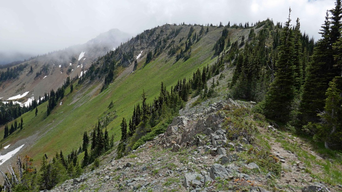
The ridge leading to the cloud covered Silver King on the left... with Silver Basin below.
|
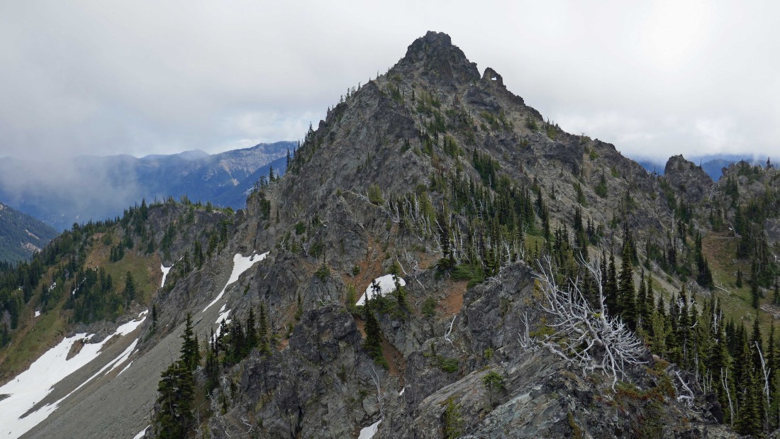
I see an arch near the summit of Three Way Peak.
|
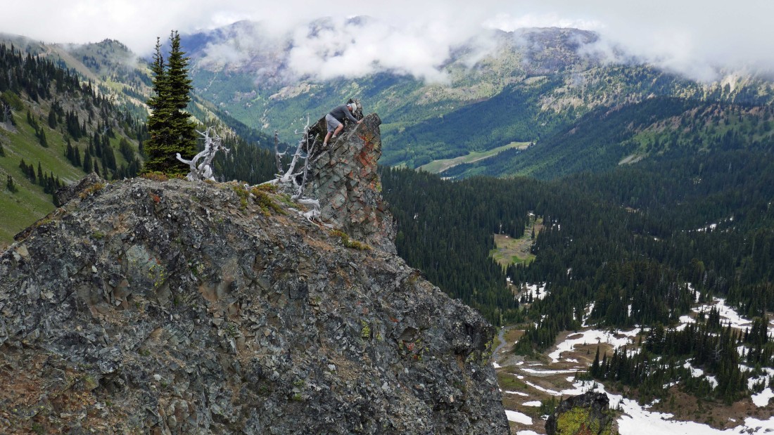
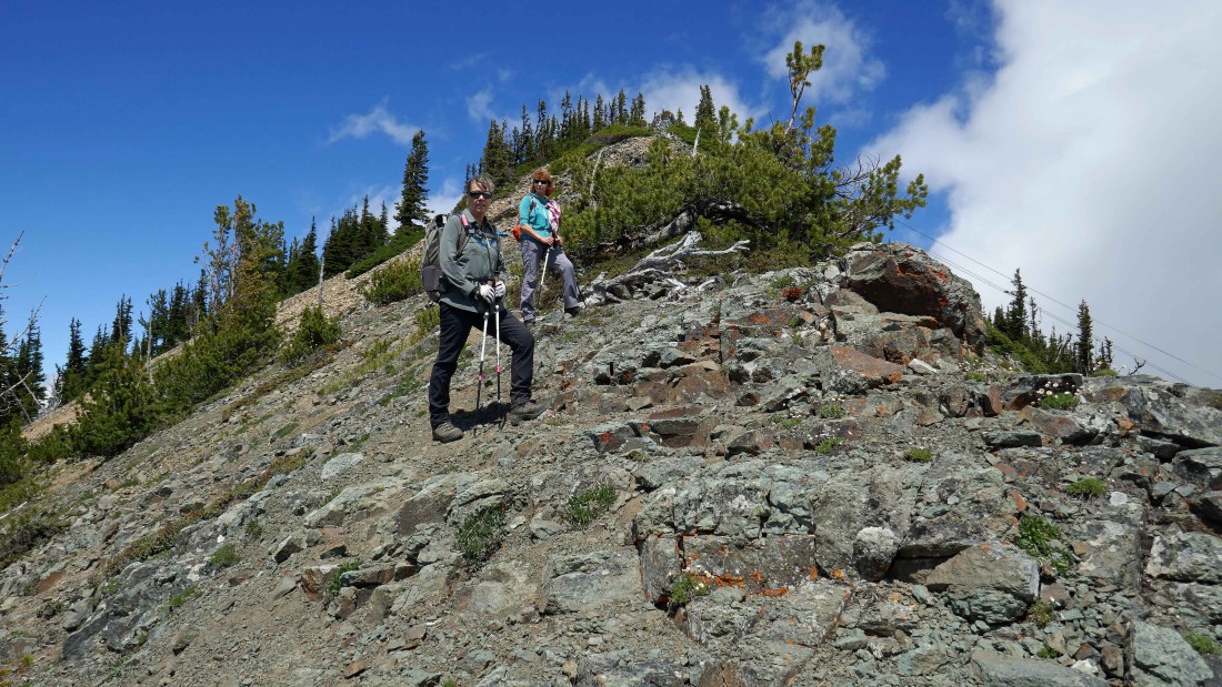
I decided to scramble up a little spire on the ridge.
|
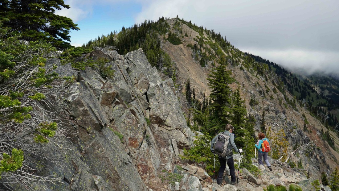
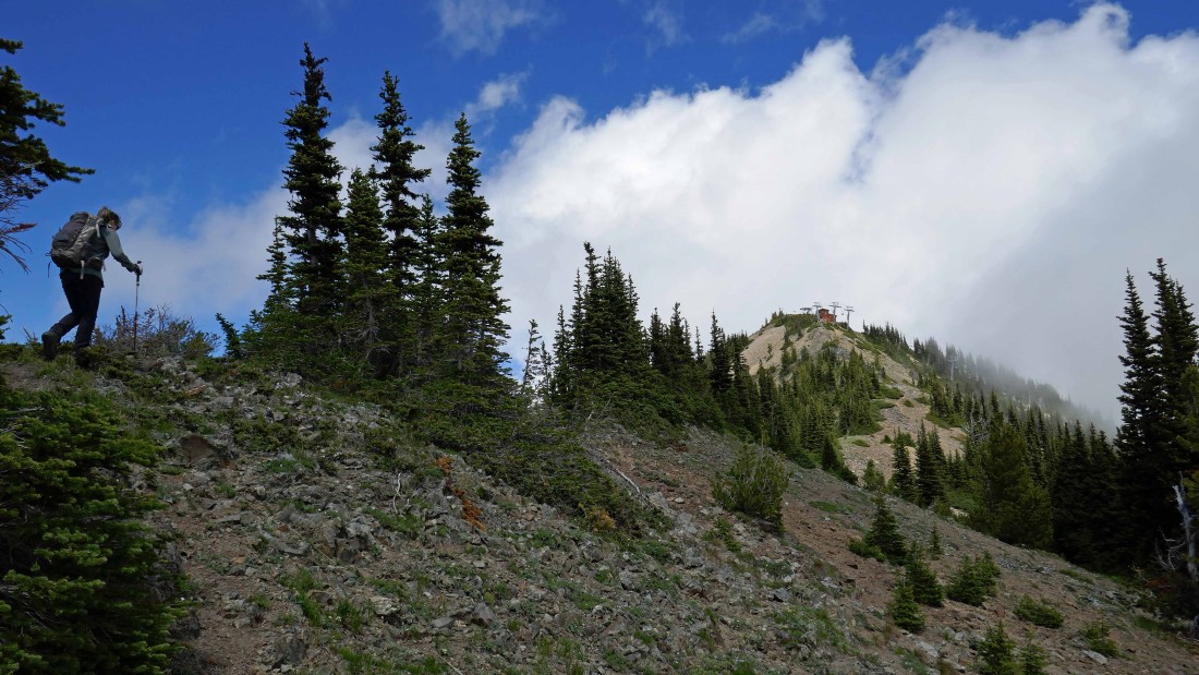
Heading for the summit of Silver King.
|
Continuing up toward the summit of Silver King.
|
Nearing the summit of Silver King and looking back at Peak 6708 on the left, Chinook Peak in the center and Peak 6706 on the right.
|

After hiking a total of 3.2 miles we have reached the summit of Silver King (6998')... looking down at Elizabeth Lake... with the Campbell Basin Lodge on the left.
|
From Silver King we will follow the ridge over to The Throne in the center of the photo... then on to Silver Queen in the clouds on the right.
|
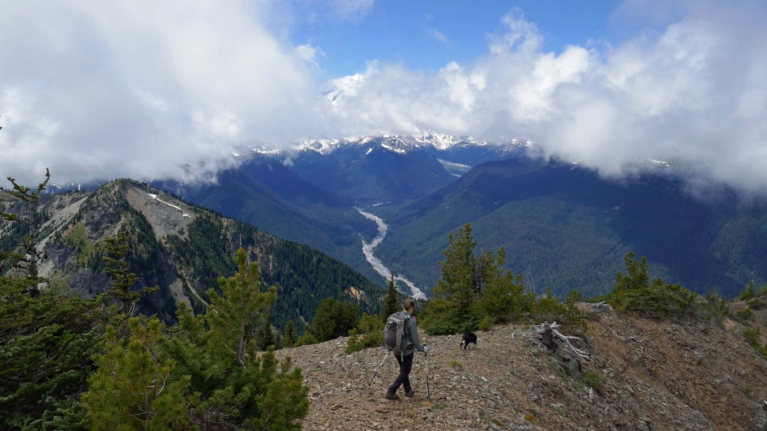
Leaving the summit of Silver King... hoping that the clouds covering Mt. Rainier will dissipate as we continue along the ridge.
|
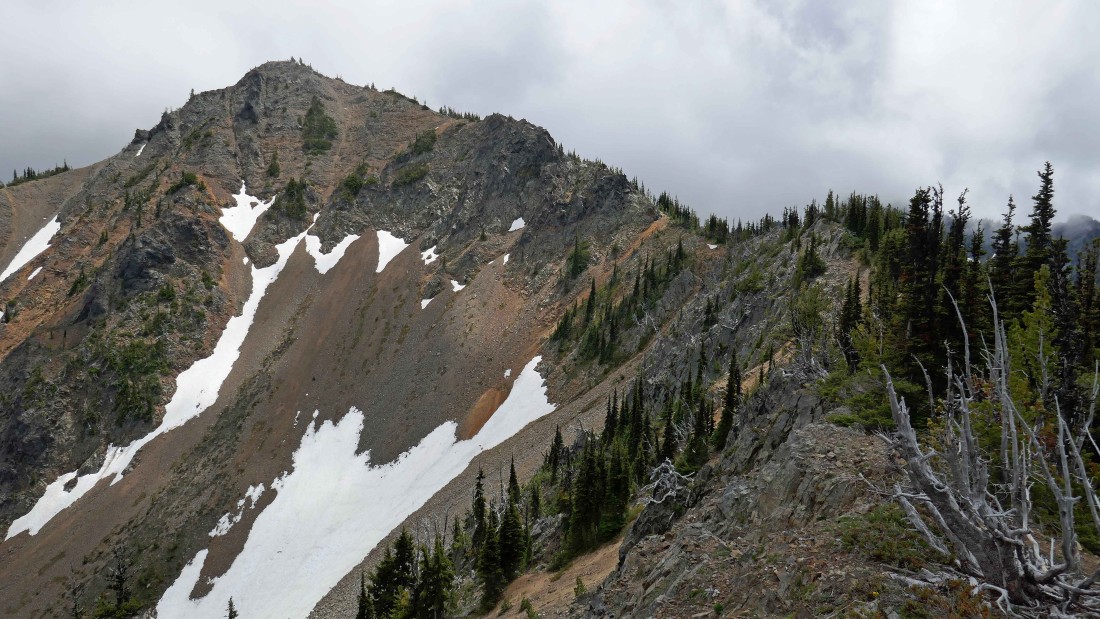
Heading along the ridge toward The Throne.
|

Looking back at Silver King as we continue along the ridge toward The Throne.
|
Heading for The Throne.
|
Looking back at the ridge route we followed from Silver King (left) over to The Throne.
|
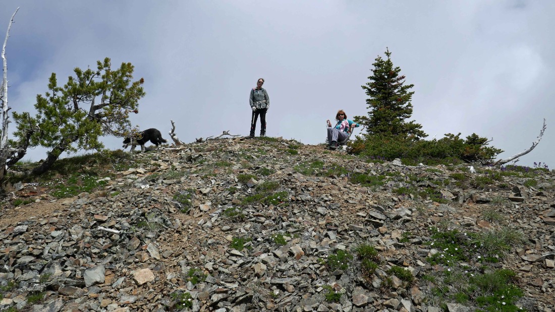
After hiking a total of 3.7 miles, Izzy, Snowdog and BarbE are on the summit (6861') of The Throne.
|
From The Throne we can see our ridge route over to Silver Queen... we can see Chair 6 going up from the Campbell Basin Lodge to the top of Silver Queen.
|
Looking back at The Throne in the center of the photo... with Silver King in the clouds on the left.
|
Continuing on the ridge and heading for Silver Queen.
|
Almost on the summit of Silver Queen.
|
Almost on the summit of Silver Queen... with Chair 6 coming up from Campbell Basin.
|

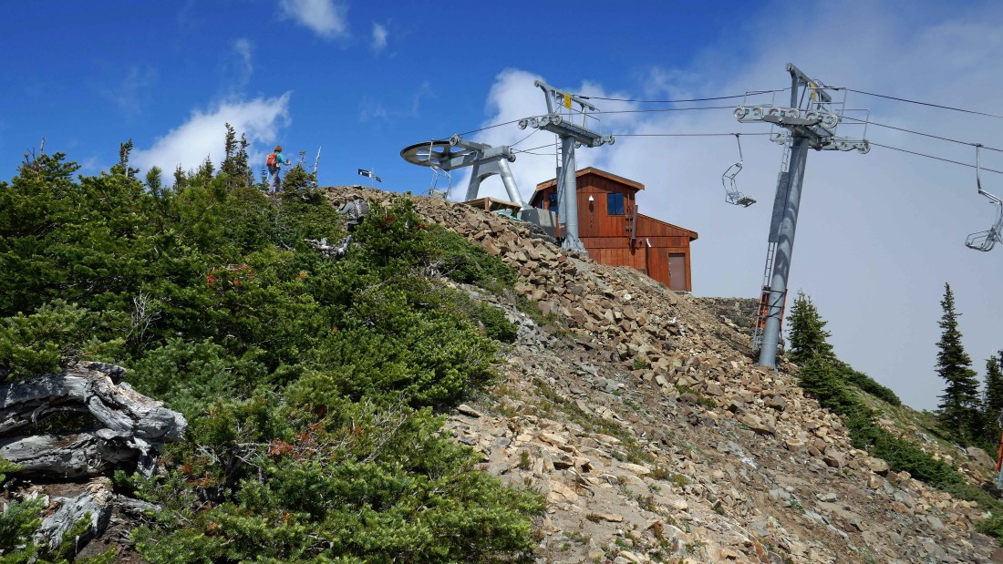
After hiking a total of 4.3 miles we are on the summit (6960') of Silver Queen and looking over at the Summit House where we will get on the gondola and ridge down to our car.
|

This memorial plaque is on the summit of Silver Queen.
|

Looking back at our ridge route from Silver King (left foreground) and The Throne in the center of the photo to where we are standing on Silver Queen.
|
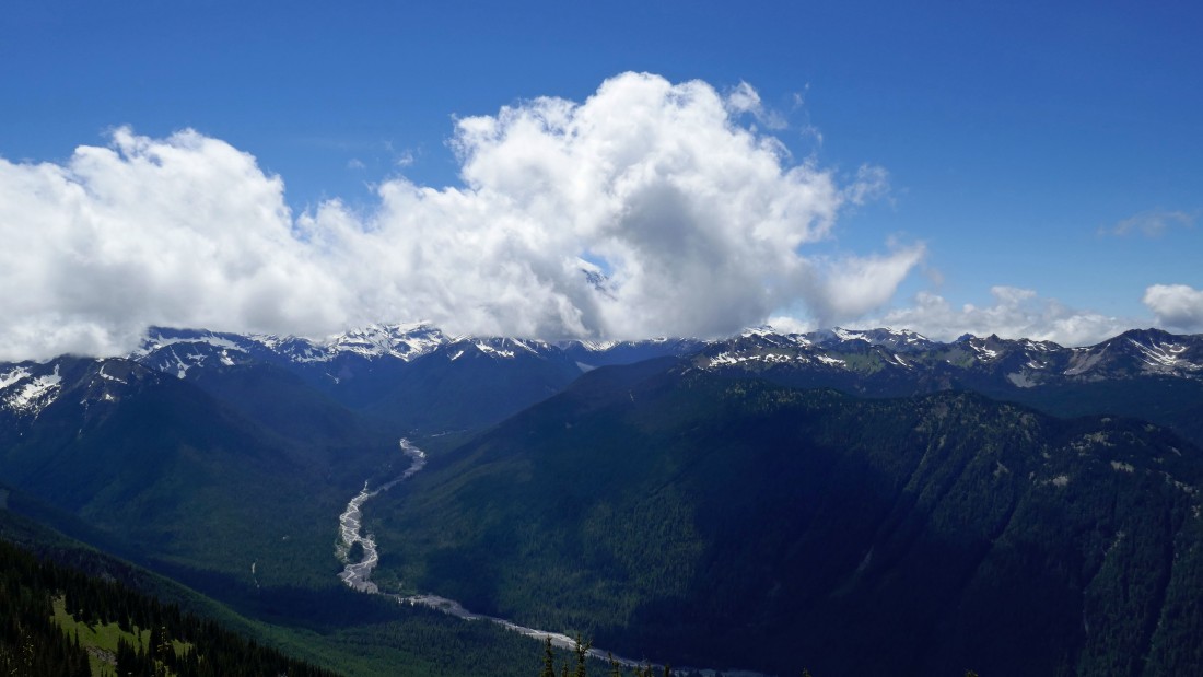
We decided to take a long break on Silver Queen and see if the clouds will get off of Mt. Rainier.
|
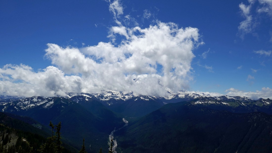
Waiting for the clouds to leave Mt. Rainier.
|

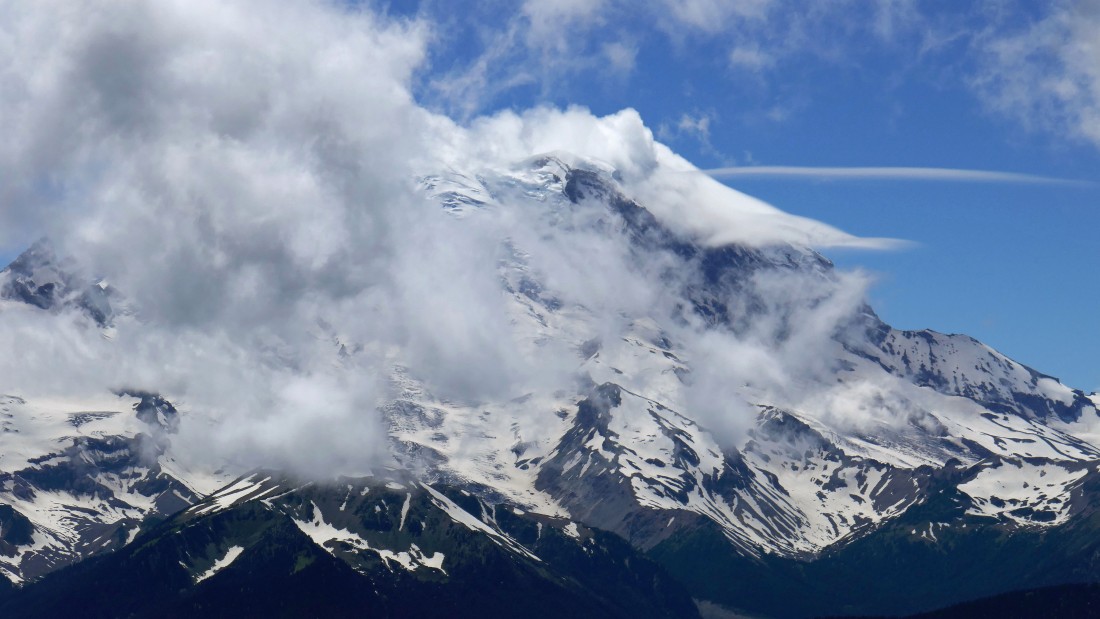
Whoa... is that an alien space ship heading for Mt. Rainier... or perhaps just a lenticular cloud.
|
Almost.
|
Our ridge route from Silver King in the left foreground to Mt. Rainier in the center of the photo.
|
Leaving the summit of Silver Queen and heading for the Summit House... ugh, we will have to give back 500 feet of elevation before regaining most of it to get back up to the gondola.
|
After coming down from Silver Queen we followed the service road up toward the summit house for a short distance.
|
We left the service road as soon as we could and started up an obvious path toward the summit house.
|

Nearing the summit house.
|

After hiking a total of 5 miles we have reached the summit house (~6840') and are looking back at Silver King (left center) and Silver Queen (right center)... Three Way Peak is in the far left of the photo.
|
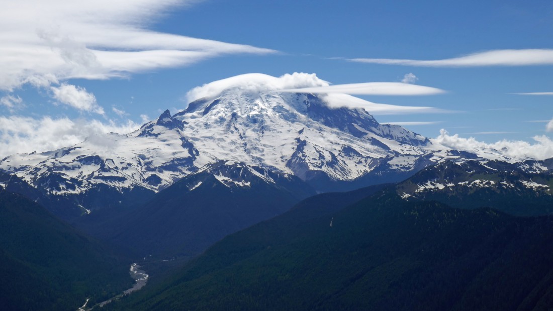
Mt. Rainier from the summit house.
|
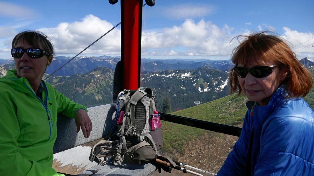
Riding the gondola down from the summit house... saving our knees for another day.
|
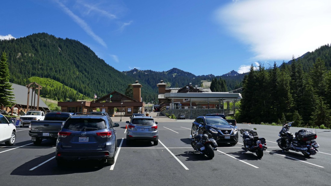
Back at the Crystal Mountain parking area... our total hike was 5 miles, gaining 3582 feet of elevation... ending the day with a 1.4 mile gondola ride.
|
