Abiel Peak and Silver Peak - 7.5.2018

Take Exit 54 off of I-90... locate Hyak Drive East and drive it for 1.1 miles... then left onto FS-9070 and drive it for 4.3 miles to Windy Pass and park (~3800') where the PCT crosses the road.
|
The PCT is signed on the east side of the road... however, the sign is missing on the west side of the road.
|
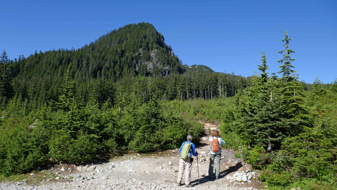
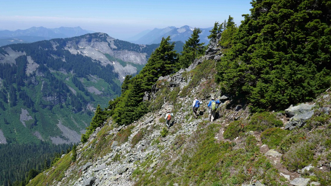
The first 1.5 miles along the PCT is basically treed... but after hiking ~1.5 miles things open up briefly for this view of Tinkham Peak.
|
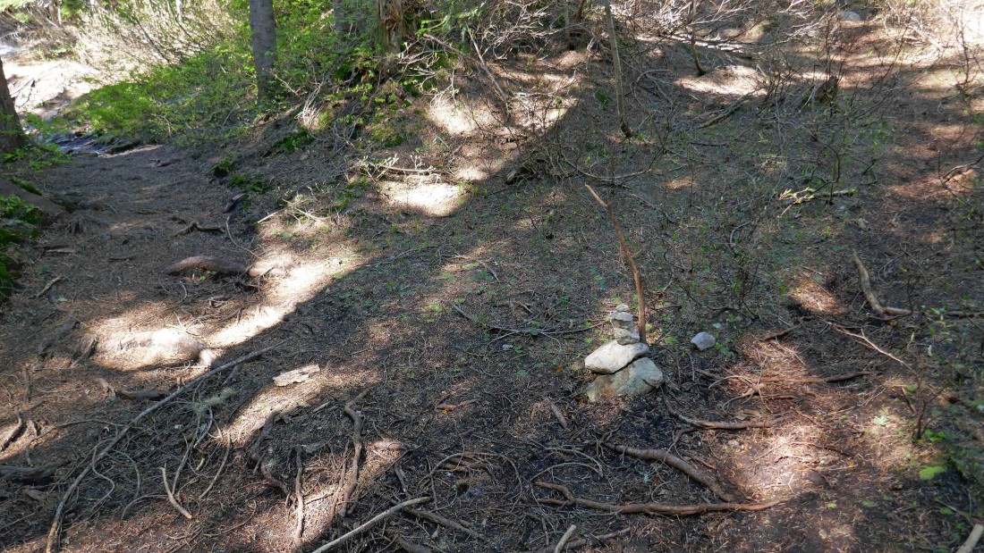
After hiking a total of 1.9 miles this small cairn (~4300') marked the path that took us off of the PCT and on our way up to the Tinkham/Silver saddle.
|

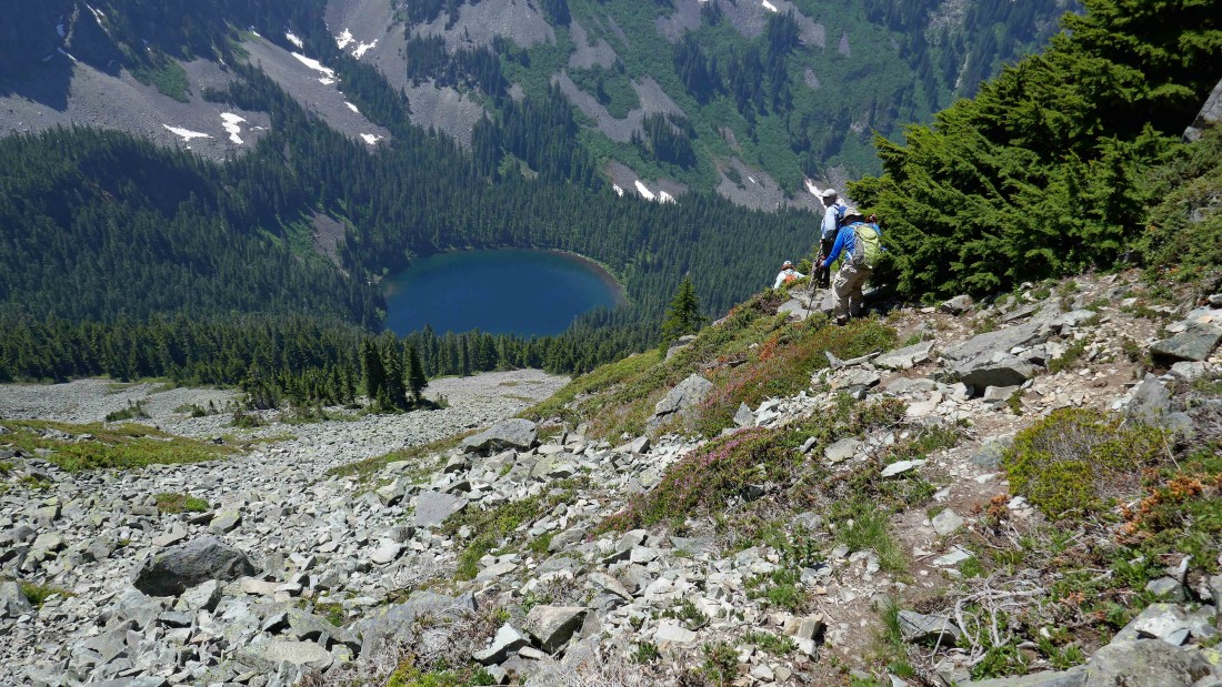
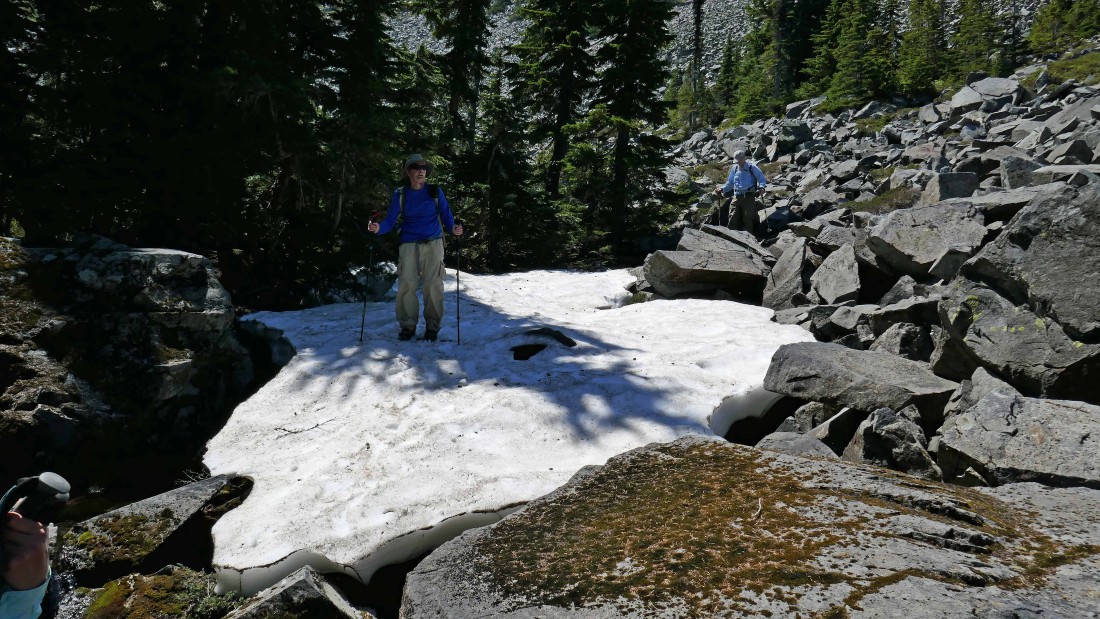
We found patches of snow above 4500 feet.
|
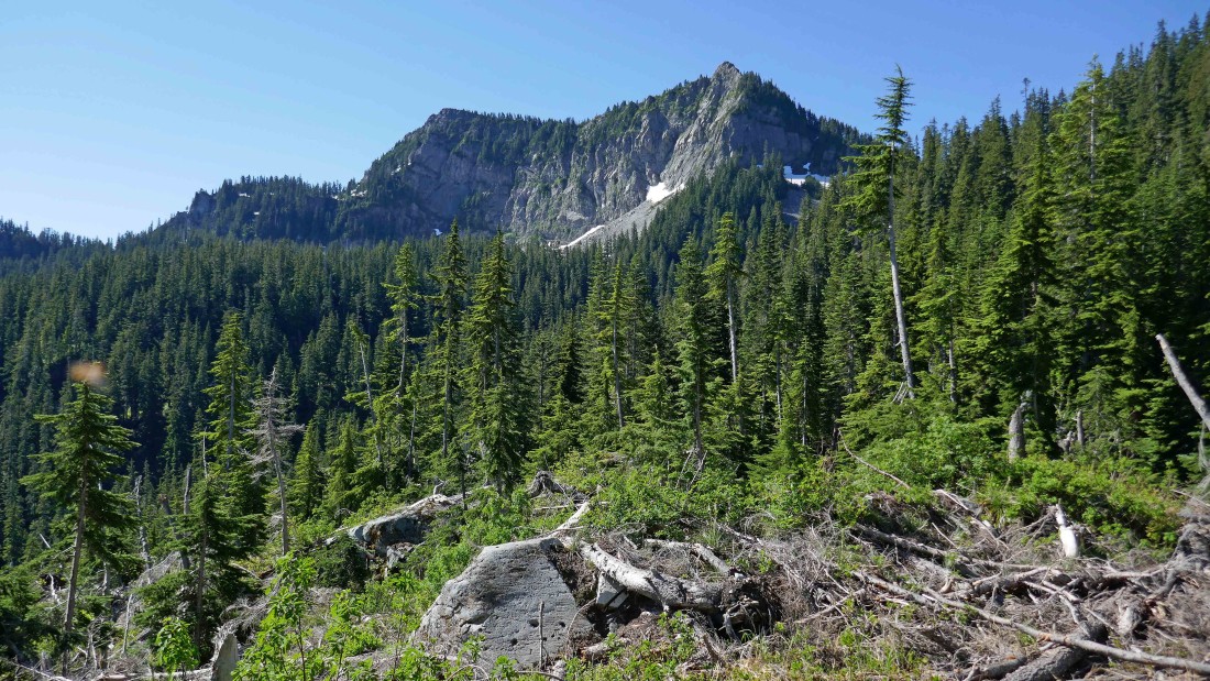
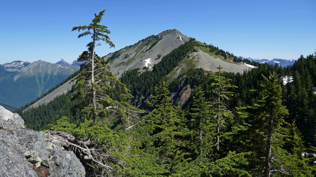
Our first good look at Silver Peak from the Tinkham/Silver saddle.
|
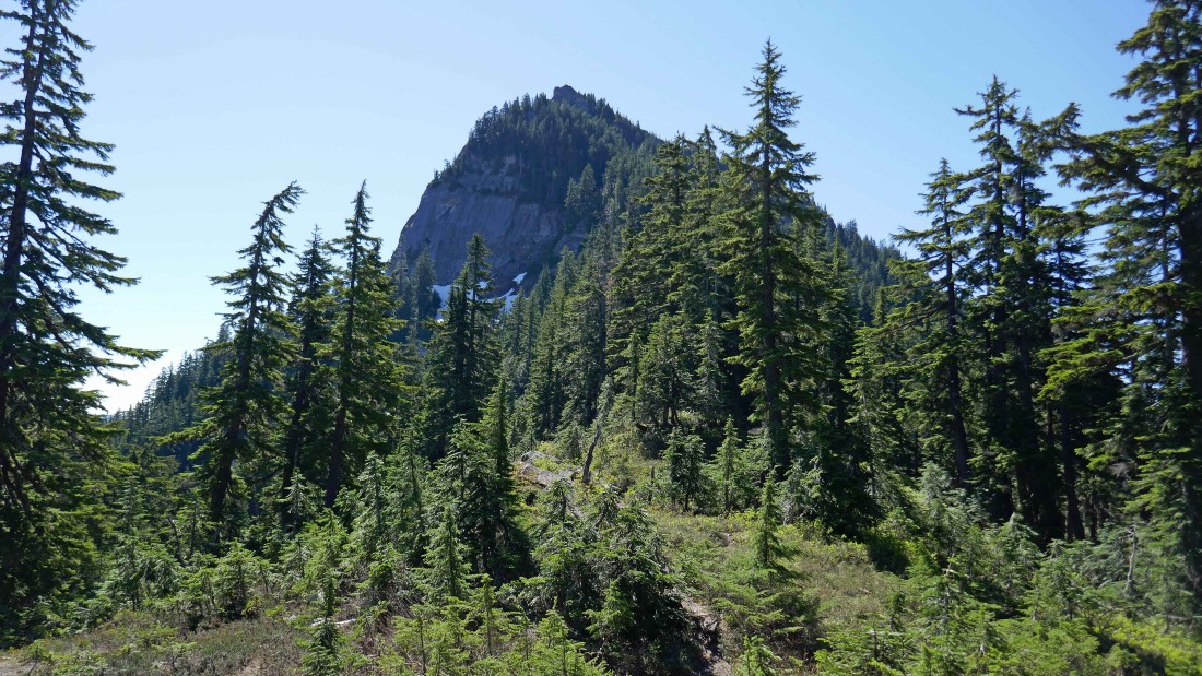
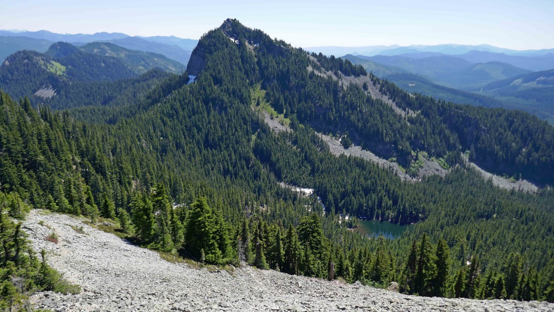
Tinkham Peak from the Tinkham/Silver saddle.
|
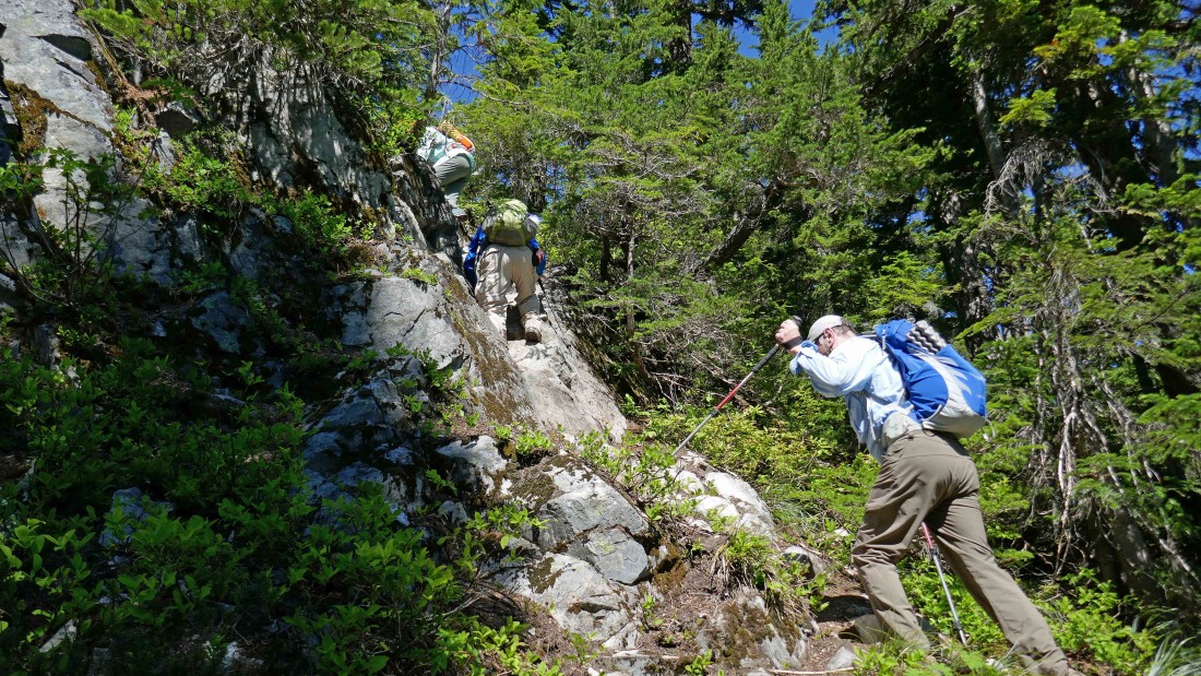
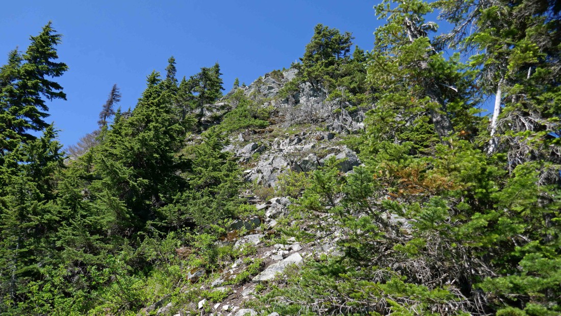
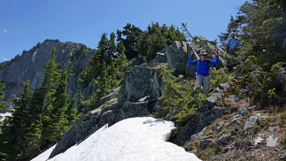
Some Class 2 scrambling at the Tinkham/Silver saddle.
|

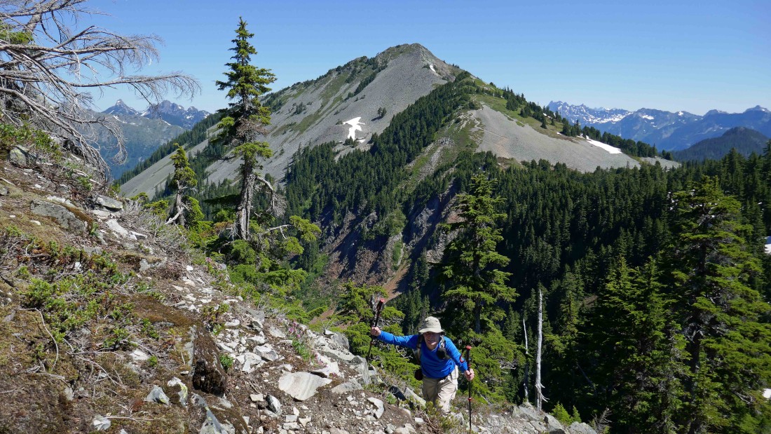
After hiking a total of 2.4 miles rodman and I are getting ready to leave the path leading to Silver Peak and head to Abiel Peak on a good path (~4870')... BarbE and tomman will go on to Silver Peak in the distance and wait for us to join them after doing Abiel.
|
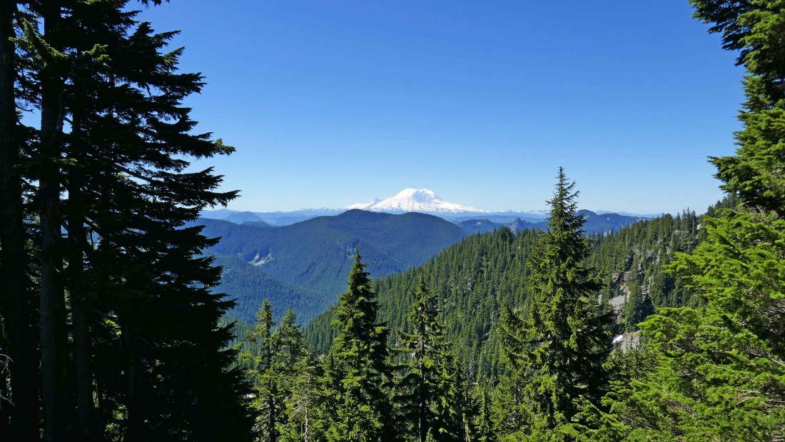
A nice view of Mt. Rainier as we head for Abiel Peak.
|
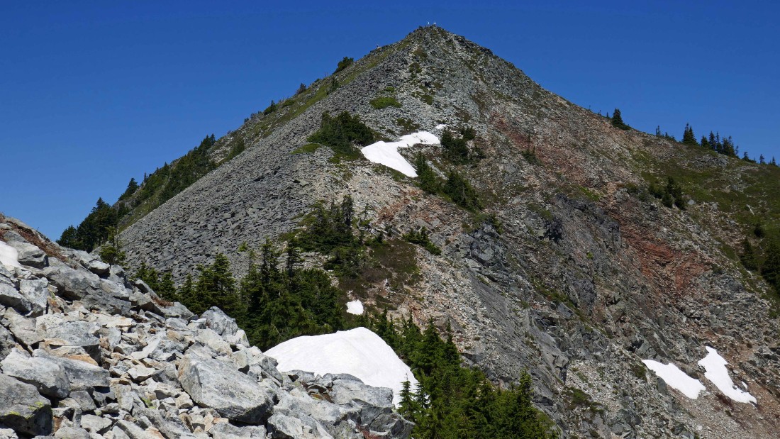
Our first good look at Abiel Peak.
|

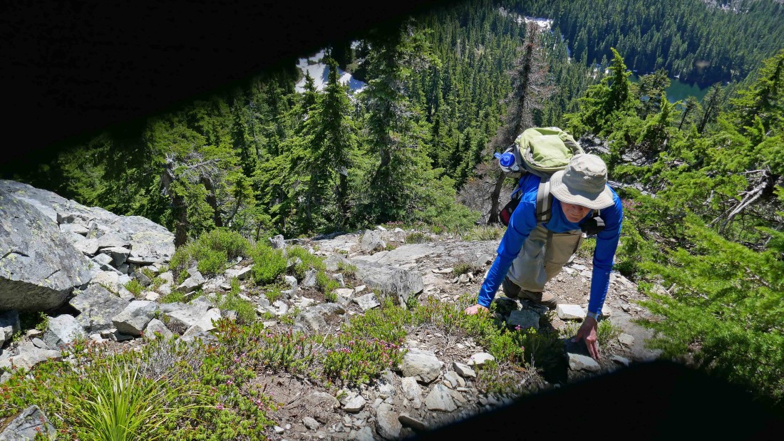
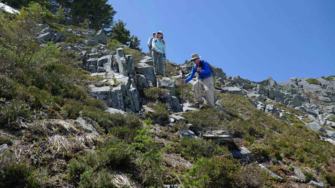
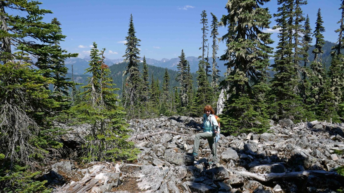
Most of the hike to Abiel Peak is on steep terrain.
|
Looking over at Silver Peak as we continue on our way to the summit of Abiel Peak.
|
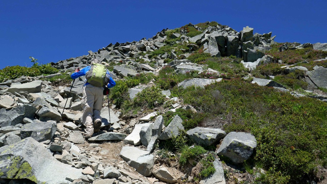
Nearing the summit of Abiel Peak on steep terrain.
|
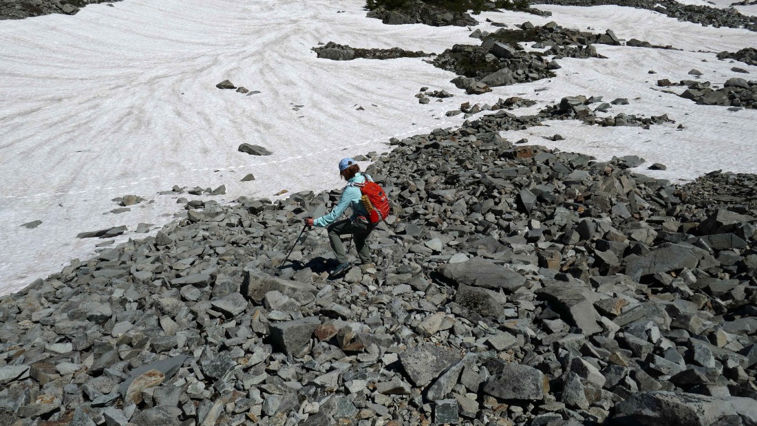
On steep terrain as we get close to the summit of Abiel Peak... Silver Peak in the distance.
|
Steep terrain... Abiel Lake is below... I guess my camera lens didn't quite open all the way.
|
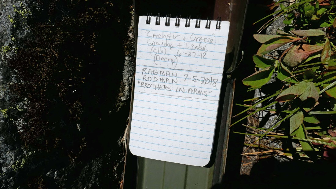
After hiking a total of 2.8 miles we have reached the Abiel Peak summit (5365')... the summit register was placed in 2010.
|
A pano shot from the summit of Abiel Peak.
|
Heading down from the Abiel summit... when we get back down to the snow covered bump we will start working our way over to the trail that will take us up to the summit of Silver Peak.
|
Tinkham Peak and Abiel Lake as we descend from the Abiel summit.
|
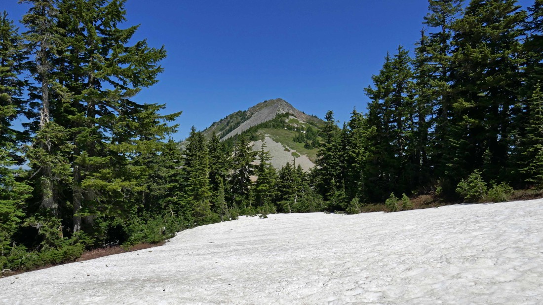
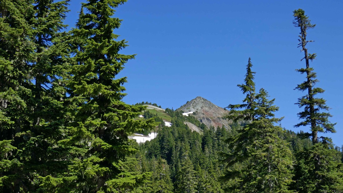
Following the snow toward Silver Peak.
|

We have reconnected with the path that will take us up to the summit of Silver Peak.
|
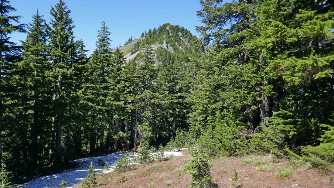
Ascending Silver Peak on a good path... looking back at Tinkham Peak on the left and Abiel Peak on the right.
|
We can see BarbE and tomman on the Silver Peak summit.
|
Continuing up to the summit of Silver Peak on a good path.
|

Almost on the Silver Peak summit.
|
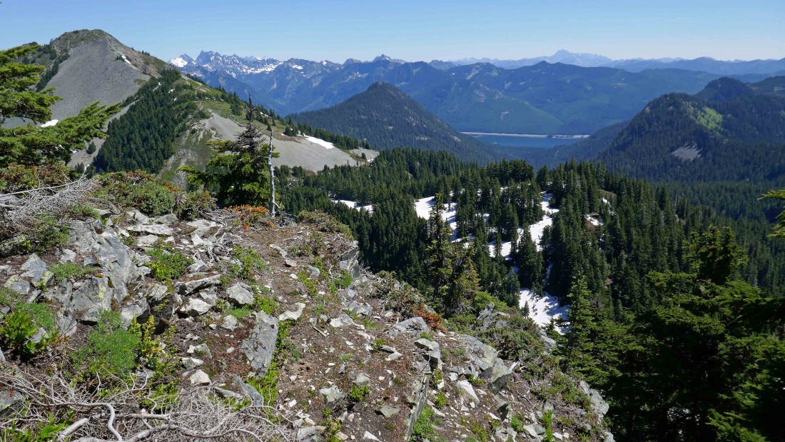
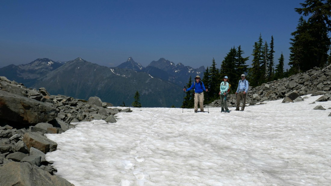
After hiking a total of 3.9 miles we have reached the summit (5605') of Silver Peak... with lots of Alpine Lakes Wilderness peaks in the distance.
|
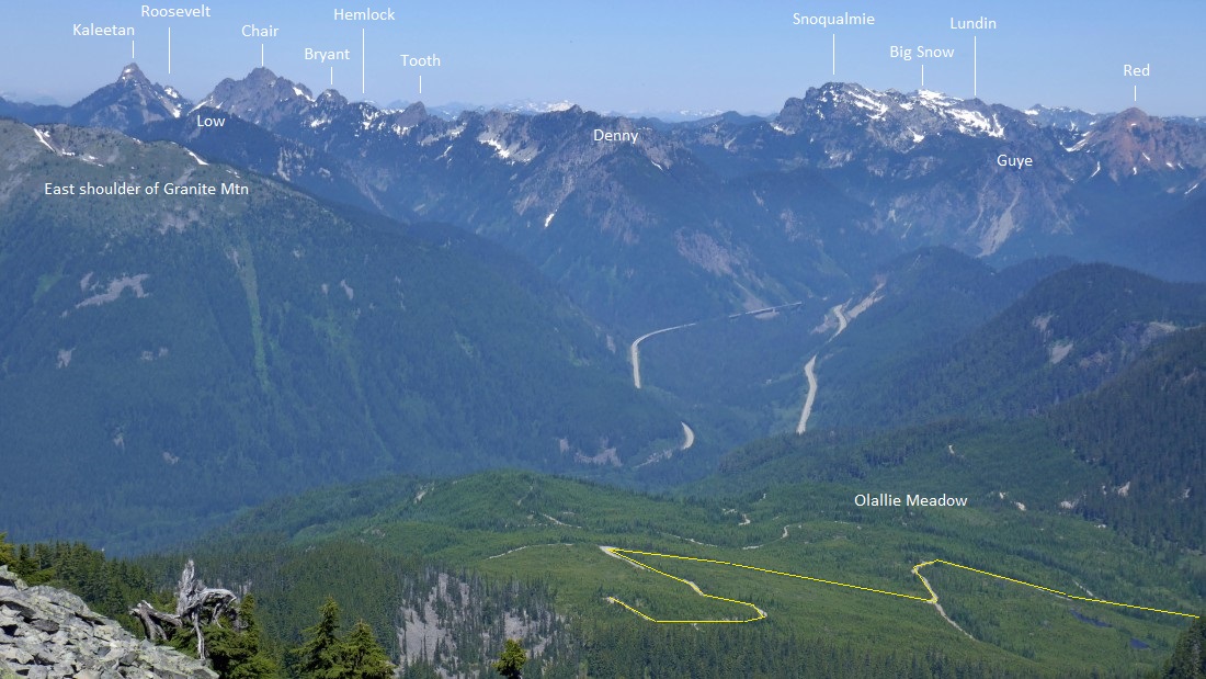
Peak identification from the summit of Silver Peak.
|

More peak identification from the summit of Silver Peak.
|
On the summit of Silver Peak and an approximate cross country route that we used to get back down to our car in Olallie Meadow.
|
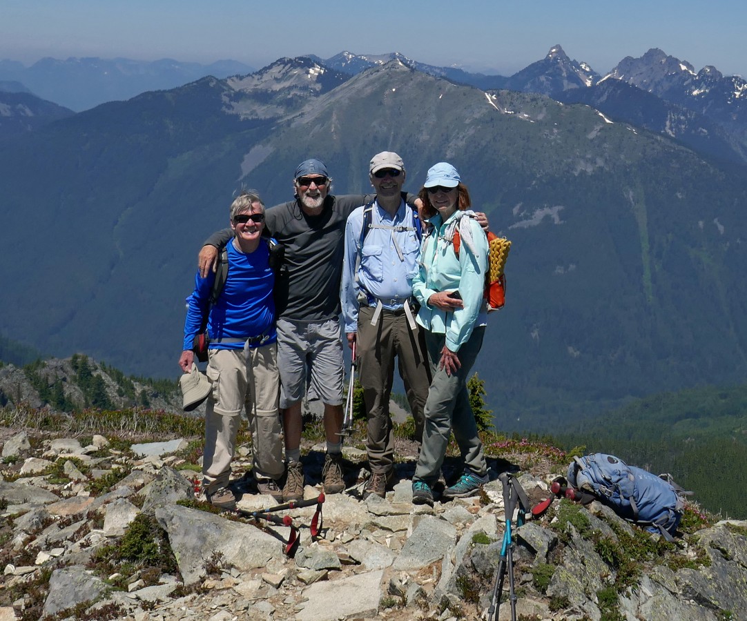
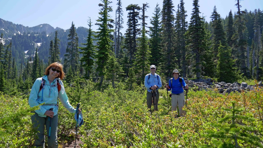
We asked a young lady to take a photo of us on the Silver Peak summit... rodman, ragman, tomman and BarbE.
|
Following a path down on the west side of Silver Peak's NW ridge.
|
Looking down on Annette Lake as we continue along the west side of Silver Peak's NW ridge.
|

Continuing down along the west side of Silver Peak's NW ridge... looking back at Abiel Peak on the right.
|
Crossing over to the east side of Silver's NW ridge... Silver Peak in the distance on the left.
|
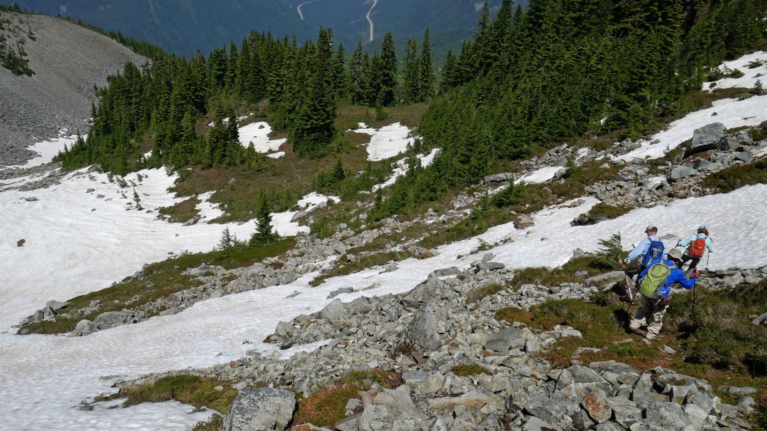
Working our way down to the basin on the north side of Silver Peak.
|
BarbE is almost down to the basin on the north side of Silver Peak.
|

Almost off of the boulder field and into the basin on the north side of Silver Peak... with Silver Peak on the far left.
|
Continuing down the basin on the north side of Silver Peak... peaks in the distance... left-to-right... Tusk O'Granite, Granite, Kaleetan, Chair, Bryant and The Tooth.
|

Looking back at Silver Peak as we continue down the basin.
|
Heading down the basin on the north side of Silver Peak... we will use the snow to our advantage as long as possible.
|
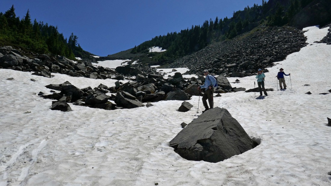
Continuing down the basin on the north side of Silver Peak.
|
Running out of snow as we get lower.
|
BarbE points out one of many cairns that we used to get us back down to Olallie Meadow.
|
After hiking a total of 5.1 miles we have reached Olallie Meadow and will finish our loop hike by hiking a mile on a combination of satellite roads and FS-9070 to get back to our car... our total trip was 6.1 miles, gaining 2507 feet of elevation.
|
