Burroughs Mountain - 7.30.2018
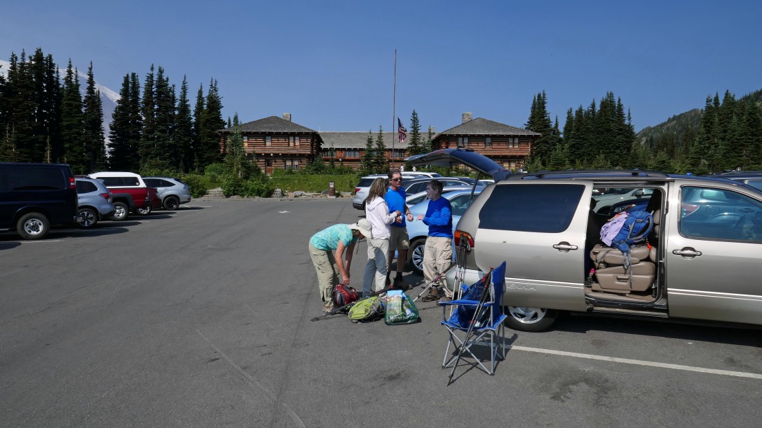
We parked (~6400') at the Sunrise Visitor Center.
|
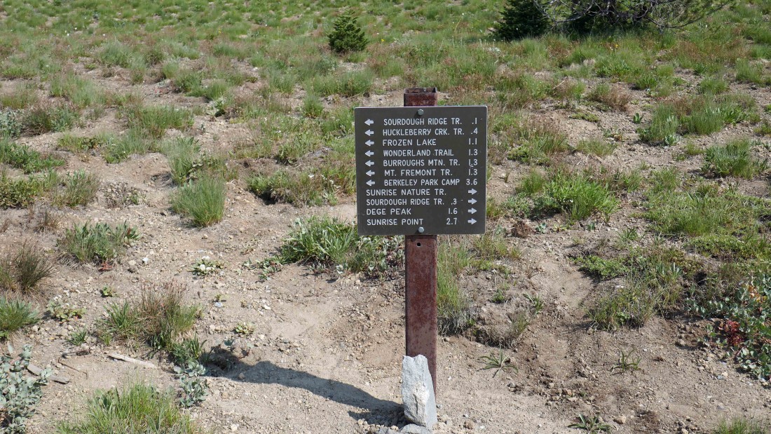
From the parking lot we will hike up to the Sourdough Ridge Trail... then turn west and head for Frozen Lake.
|

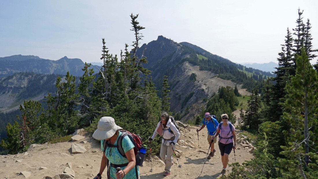
McNeeley Peak from the Sourdough Ridge Trail.
|
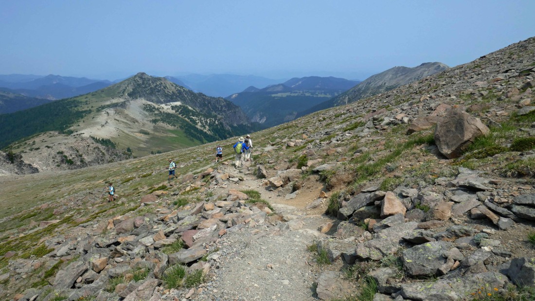
On the Sourdough Ridge Trail heading west toward Frozen Lake... The Palisades and Marcus Peak are on the left horizon... with Point 6951 and Antler Peak in the foreground along Sourdough Ridge.
|

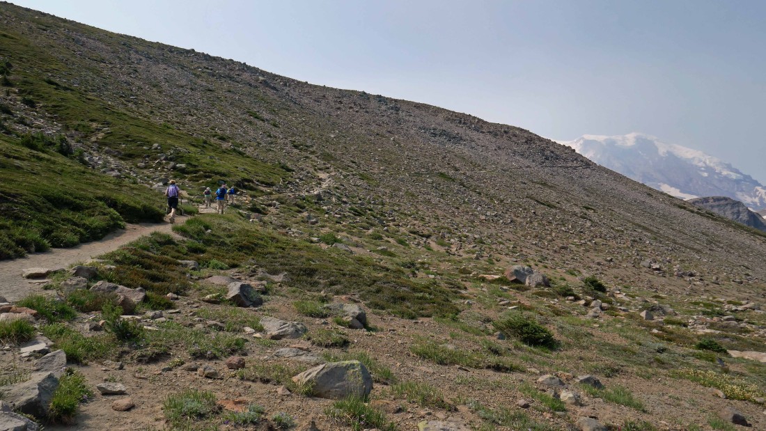
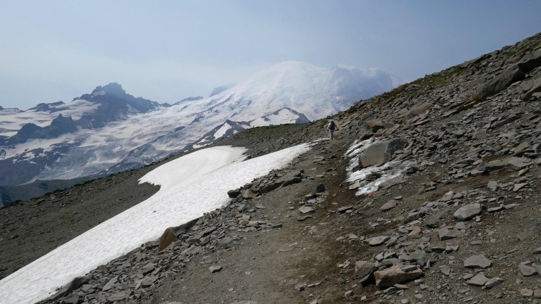
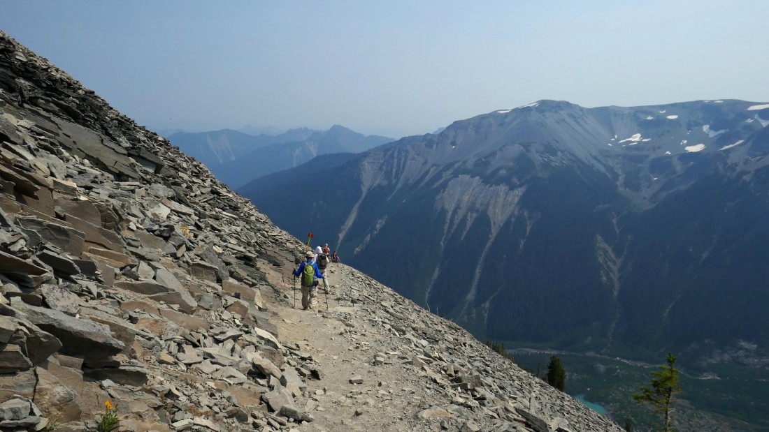
On the Sourdough Ridge Trail... looking down to the left on Sunrise Camp... with First Burroughs Mountain in the foreground and Little Tahoma and Mt. Rainier on the horizon... very hazy today.
|
|
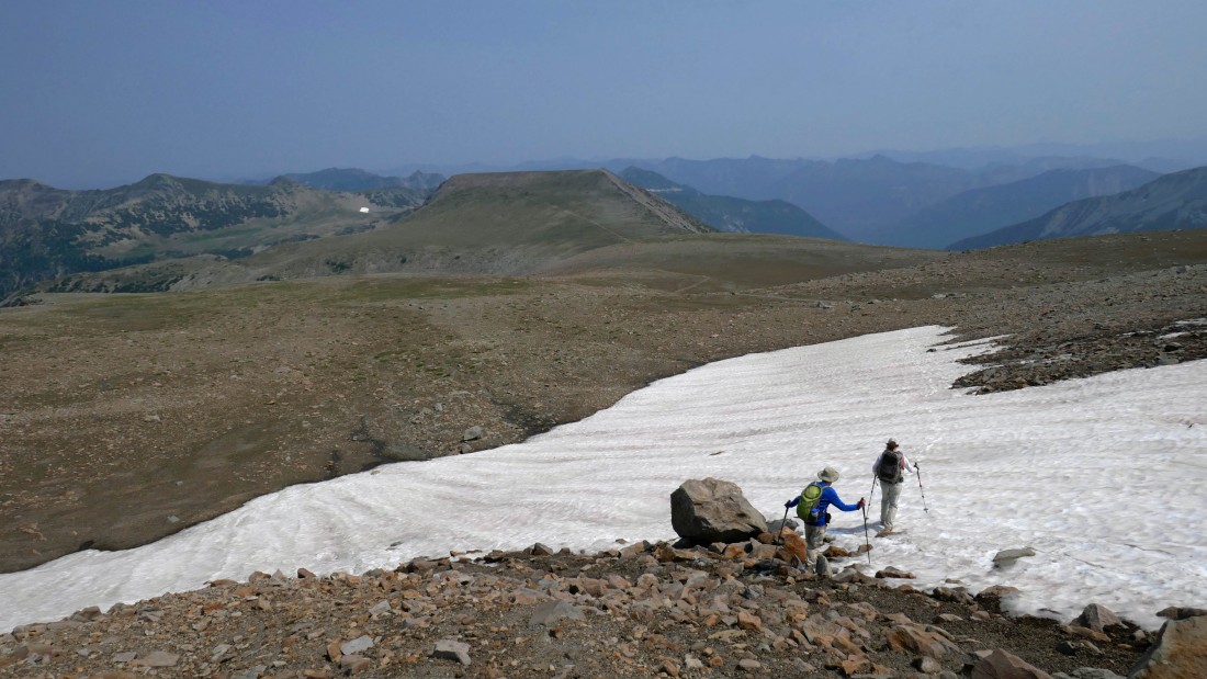
After hiking a total of 1.3 miles we have reached Frozen Lake... with Mt. Fremont above the lake... you can see the trail snaking its way out toward the Mt. Fremont Lookout.
|
We picked up the Burroughs Mountain Trail at Frozen Lake and are heading for the top of First Burroughs Mountain.
|
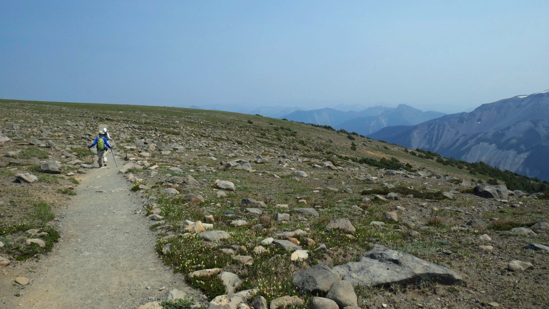
After hiking less than 2.5 miles we have reached the top of First Burroughs Mountain... Second Burroughs Mountain is in the center foreground and you can see the trail heading over there... Observation Rock and Echo Rock are on the right-center horizon... with Old Desolate, The Sluiskins and Skyscraper Mountain on the right.
|
Looking down on Berkeley Park from First Burroughs Mountain... with Skyscraper Mountain in the left foreground... and we can see the Mt. Fremont Lookout in the right foreground... Observation Rock and Echo Rock on the extreme left horizon... with Old Desolate, Cresent Mountain and The Sluiskins left center.
|

Continuing beyond First Burroughs Mountain and heading for Second Burroughs Mountain... Mt. Ruth and Steamboat Prow are in front of Mt. Rainier... with Observation and Echo in the distance on the far right horizon.
|
Nearing the top of Second Burroughs Mountain... with Mt. Ruth and Steamboat Prow in front of Rainier... and Little Tahoma on the left.
|
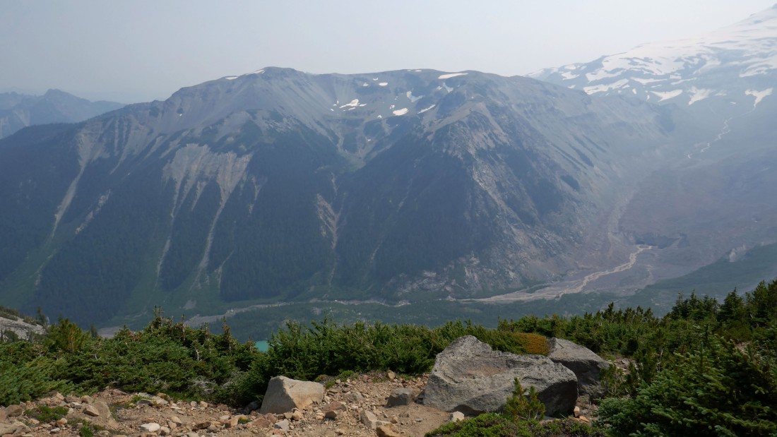
Nearing the south end of Second Burroughs Mountain and our first good look at the Third Burroughs Mountain in the right foreground... Mt. Ruth and Steamboat Prow are in front of Rainier dividing the Emmons Glacier on the left and the Winthrop Glacier on the right.
|
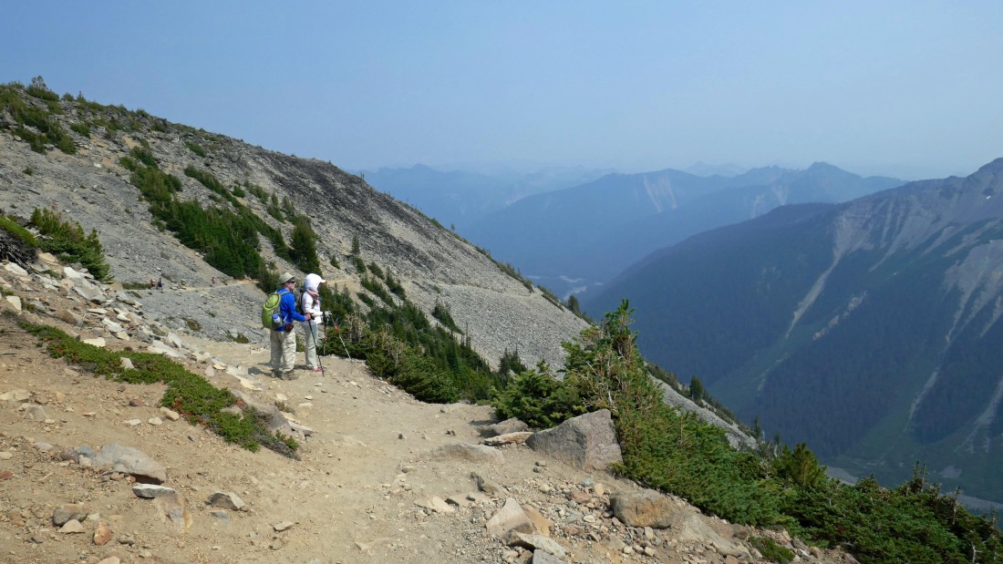
At the south end of Second Burroughs Mountain and getting ready to give up some elevation to get over to Third Burroughs Mountain.
|
Losing elevation... Grand Park is in the distance between Skyscraper Mountain in the left foreground and the Mt. Fremont Lookout in the right foreground.
|
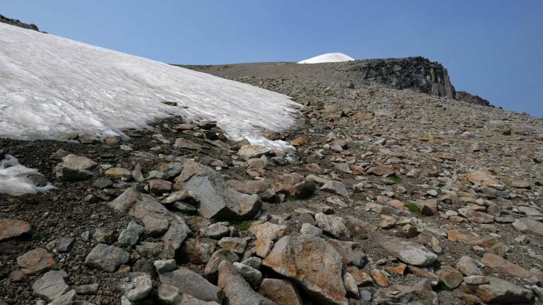
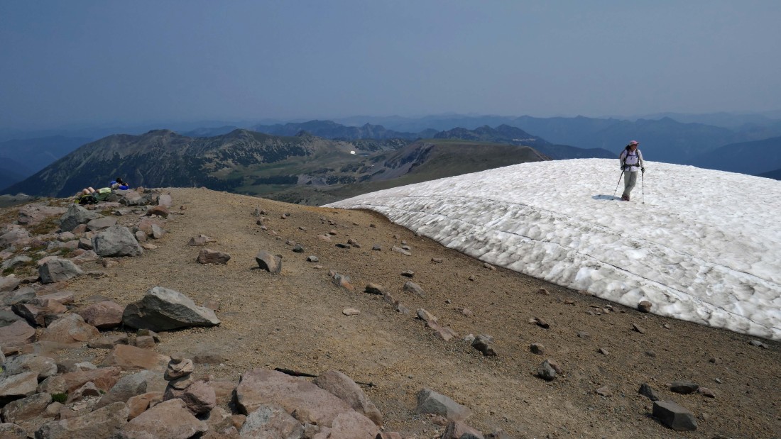
Following a good path on our way to Third Burroughs Mountain... the true summit is just behind that snow pile on the far right.
|
I decided to leave the main path and head directly for the summit.
|
Snowdog is on the ridge as we converge near the summit.
|
After hiking a total of 4.5 miles we are on the summit (7828') of Third Burroughs Mountain... with Mt. Fremont and Second Burroughs Mountain in the distance.
|
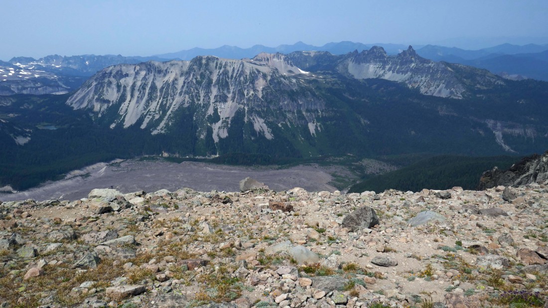
On the summit and looking at the massive Old Desolate in the foreground... Crescent Mountain and The Sluiskins are in the distance on the right... on the far left horizon are Fay Peak, Knapsack Pass and Mother Mountain.
|
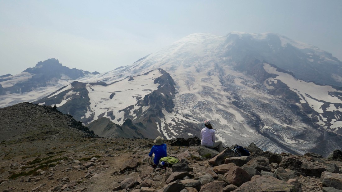
rodman and Snowdog enjoy the view of Mt. Ruth and Steamboat Prow in the left foregound... with Little Tahoma on the far left horizon... and the Winthrop Glacier streaming down from the summit of Rainier.
|
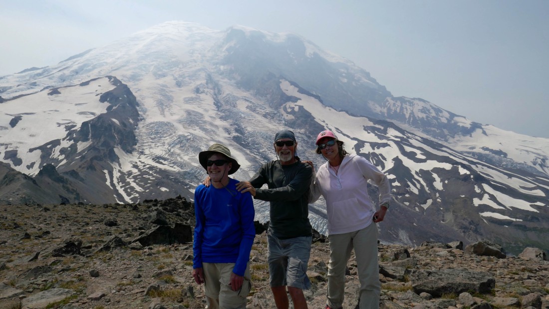
We talked a young lady visiting from Boston into taking a group shot.
|
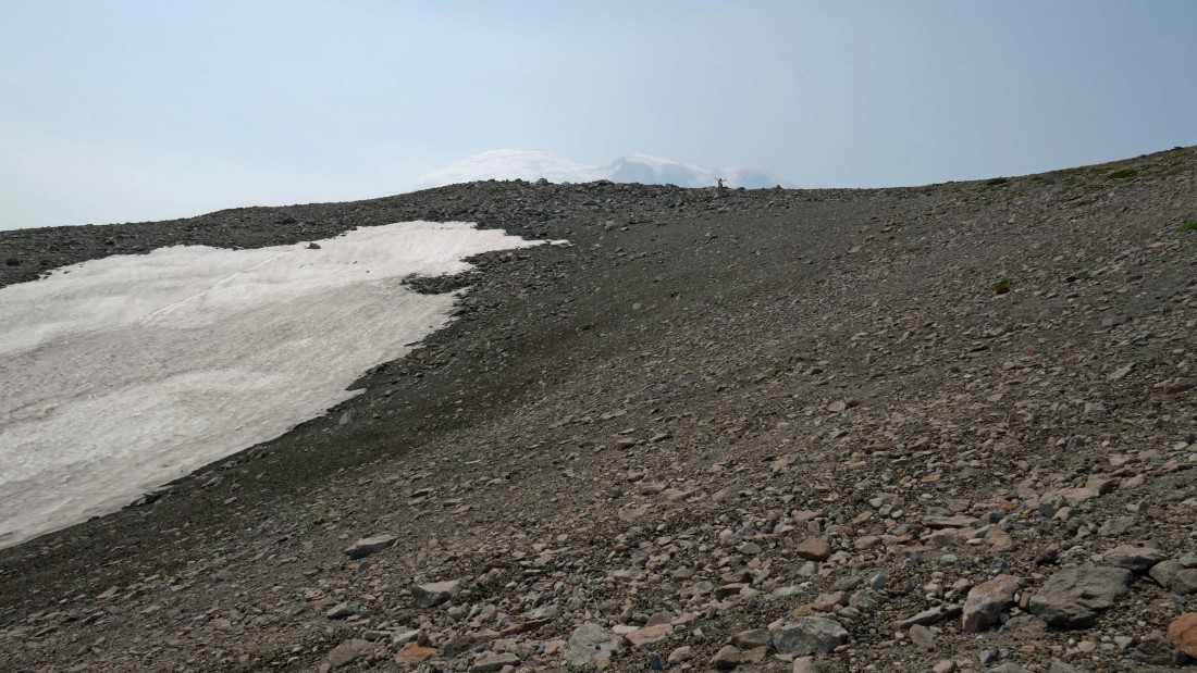
Heading cross-country down from the summit... with Second Burroughs Mountain in the distance.
|

We have reconnected with the path and are heading back to Second Burroughs Mountain... Mt. Fremont is in the distance on the left.
|

We have crossed over Second Burroughs and heading for First Burroughs... Mt. Fremont on the left... Berkeley Park is below on the left.
|
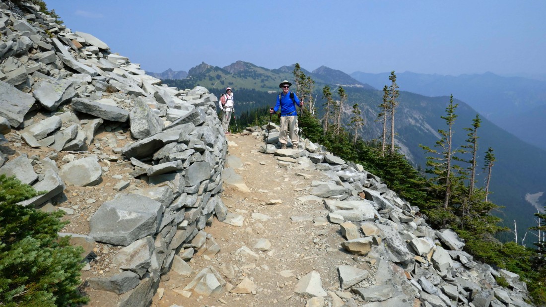
Back on First Burroughs where we decided to take the southern section of the Burroughs Loop Trail to get back to the Sunrise Visitor Center.
|
On the southern section of the Burroughs Loop Trail... looking across the valley at the massive Goat Island Mountain.
|
Heading back to Sunrise on the southern section of the Burroughs Loop Trail.
|
Continuing down the southern section of the Burroughs Loop Trail... with Goat Island Mountain in the foreground... and Tamanos Mountain and the jagged Govenors Ridge in the distance.
|
Working our way back to Sunrise... we can see the roof of the Visitor Center between Snowdog and rodman.
|

Almost down to Sunrise Camp (~6200') which will be the low point of our trip... from there it will be a 1.3 mile hike back up to the Sunrise parking lot... our total trip was 9.4 miles, gaining 2787 feet of elevation.
|
