Esmeralda Peak - North Ridge - 8.24.2018
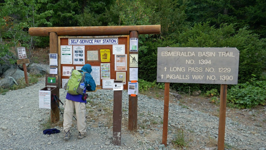
We drove to the end of N. Fork Teanaway Road (aka FS-9737) and started hiking on Esmeralda Basin Trail #1394.
|
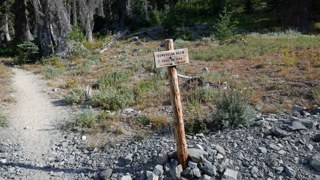
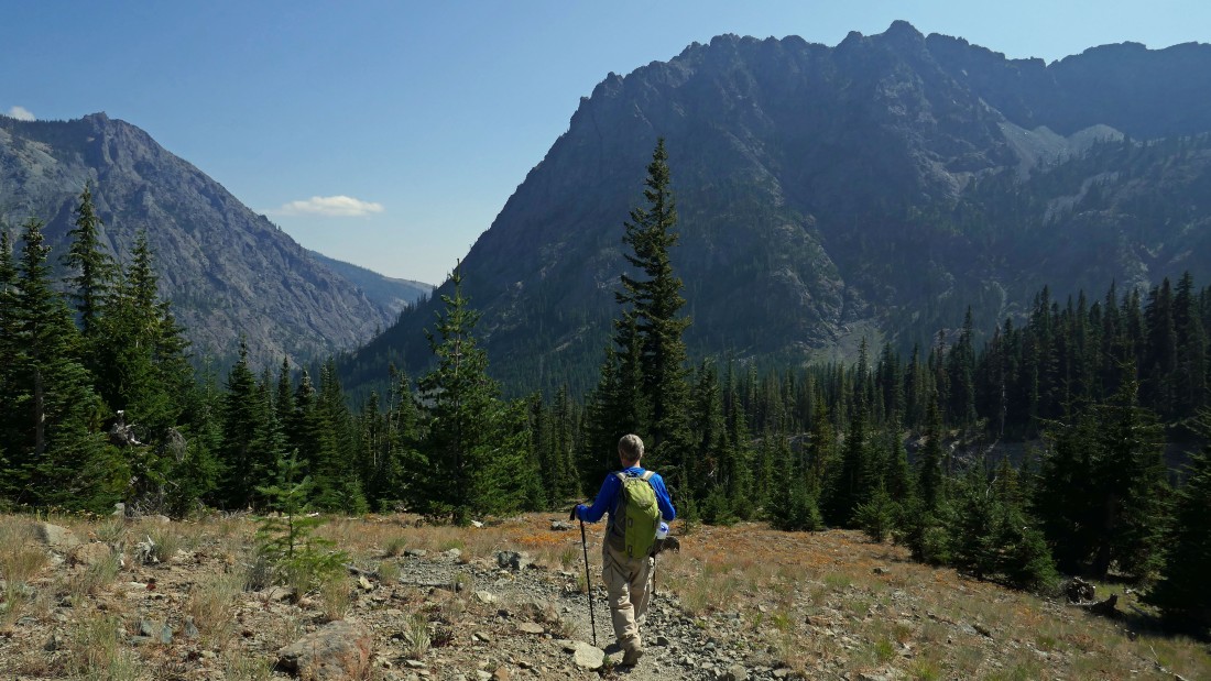
After hiking Esmeralda Basin Trail for .3 miles we bypassed the turn for Lake Ingalls and continued on the Esmeralda Basin Trail... heading in the direction of Fortune Creek Pass.
|
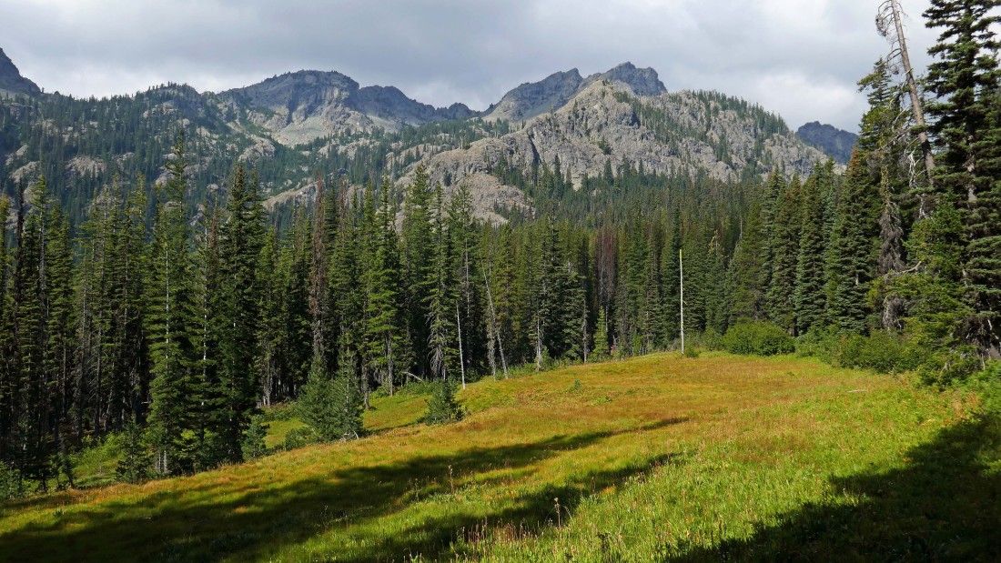
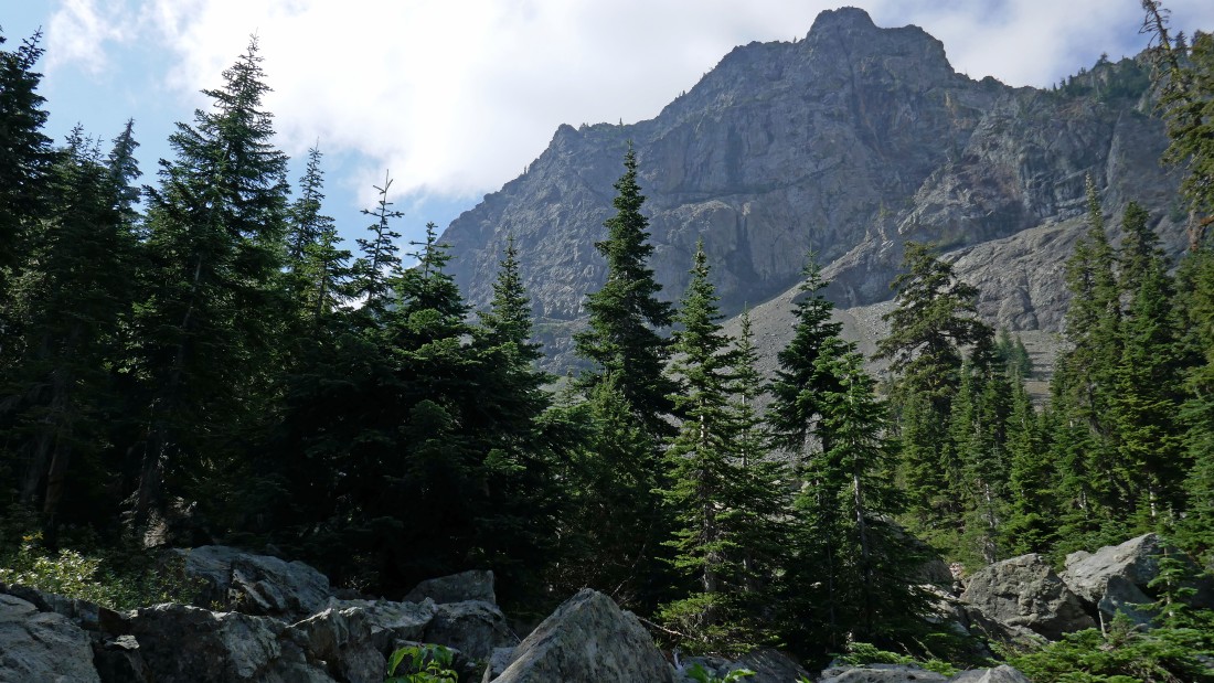
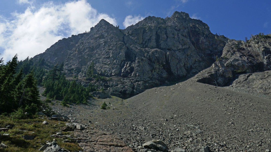
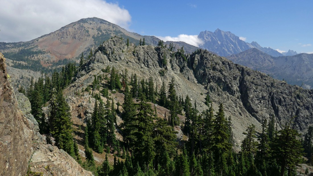
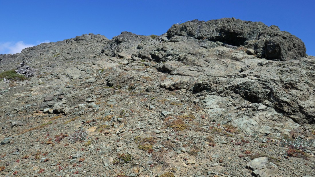
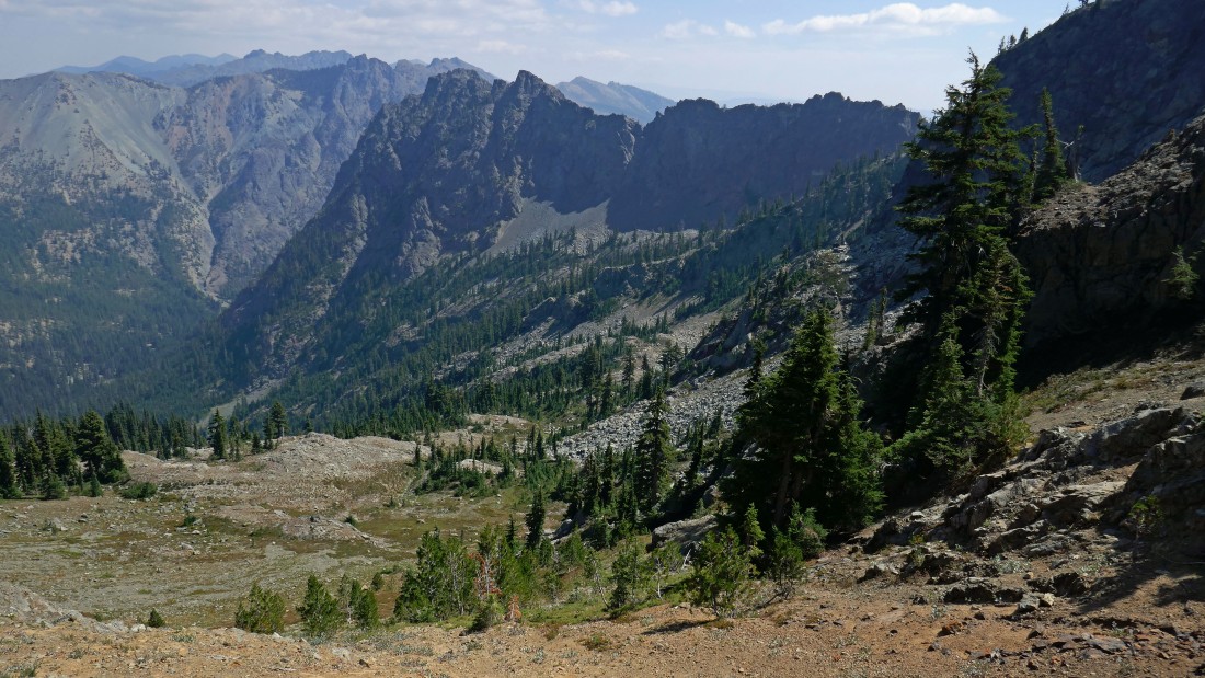
There are several meadows along the Esmeralda Basin Trail... our destination is somewhere up there in the right center of the photo... but we aren't sure which of those bumps is the north peak of Esmeralda.
|
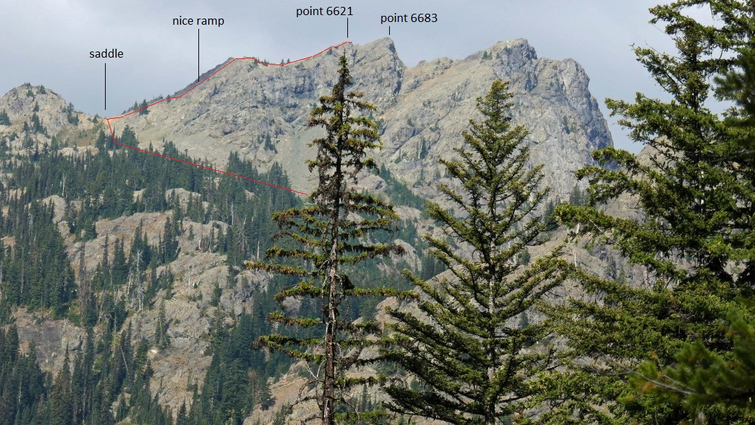
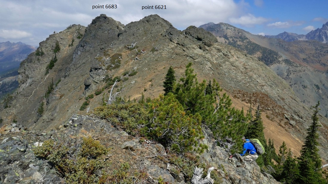
A closer look at where we are heading and where we will end up on Esmeralda's north ridge... we couldn't find a reasonable way to get from our high point of 6621 over to 6683.
|
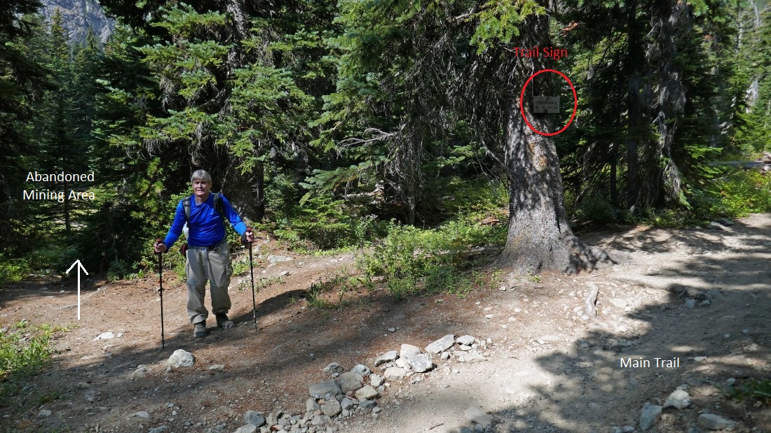
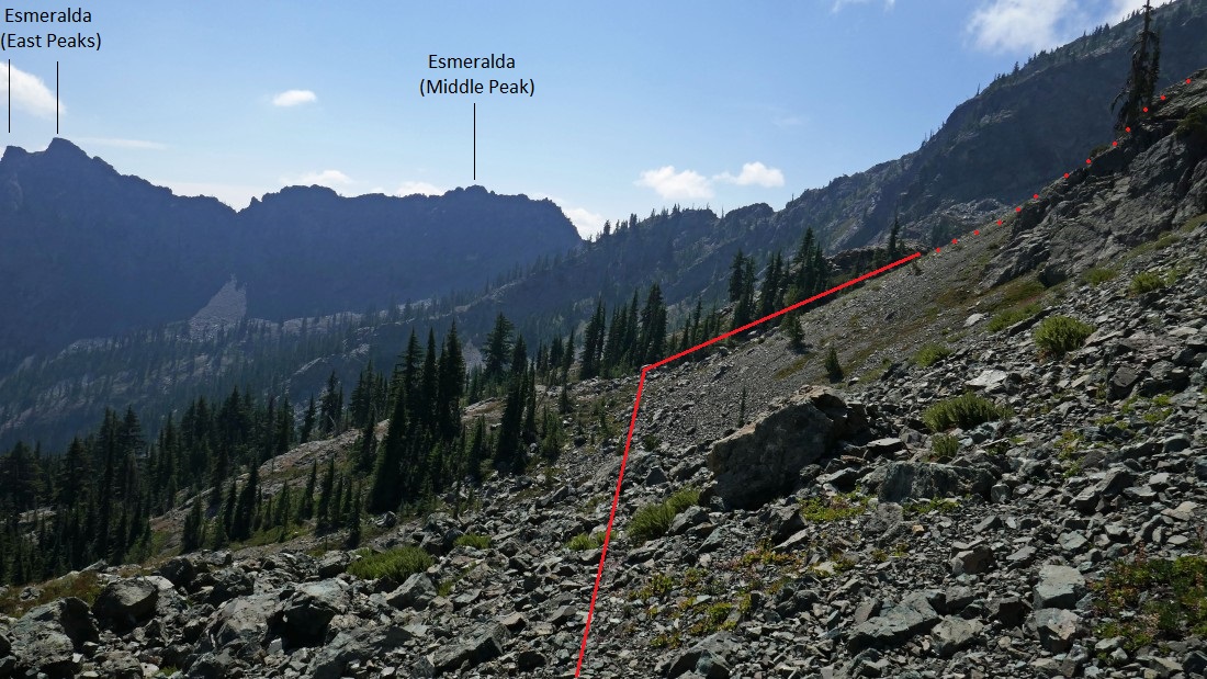
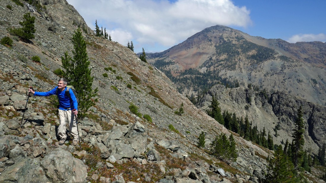
At ~5320 feet, after hiking a little over two miles on the Esmeralda Basin Trail we found the obvious bootpath that would take us over toward an abandoned mining site... note that there is an 'Esmeralda Basin Trail' sign on a tree here.
|
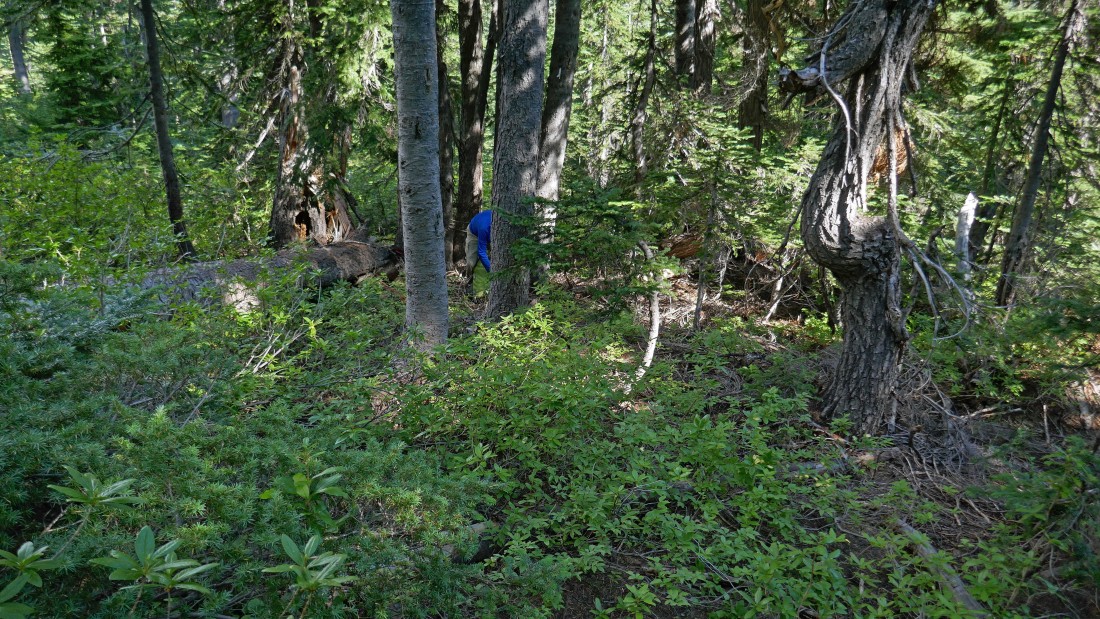
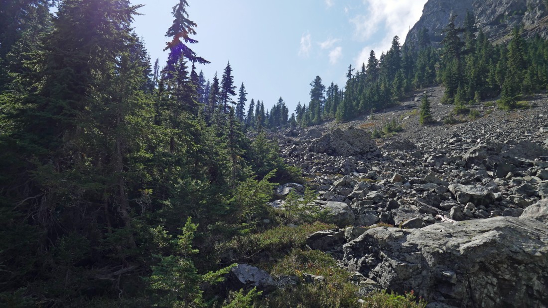
After leaving the main trail it didn't take very long until we needed to make an eighth of a mile bushwhack to the SW... in search of a large boulder field that would take us up to a 5800 foot pass on the east side of Esmeralda's north ridge.
|
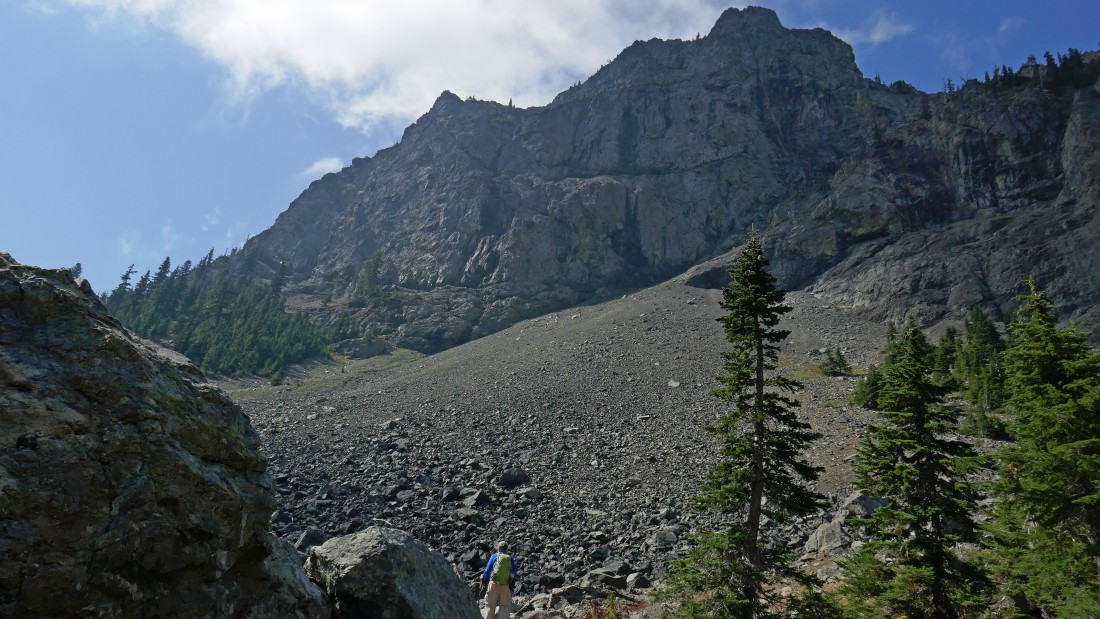
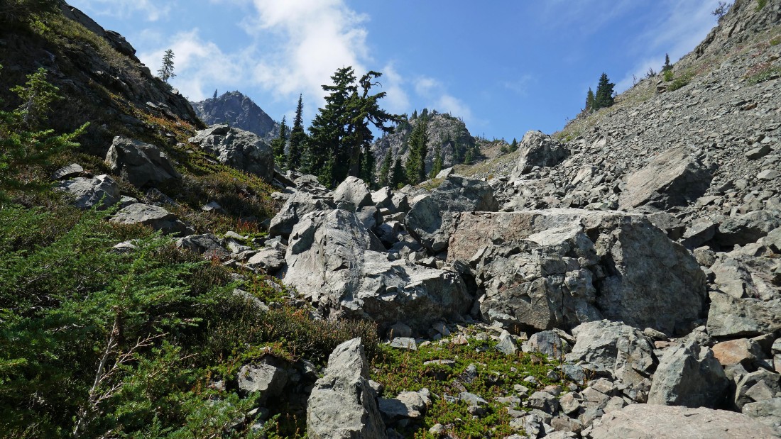
At ~5500 feet we are finishing up the bushwhack portion of the hike and entering the boulder field area on the east side of Esmeralda's north ridge.
|

Working the boulders here... heading for the 5800 foot pass up there in the center of the photo.
|
Pretty clear sailing here as we head for the 5800 foot pass up there on the far left of the photo.
|

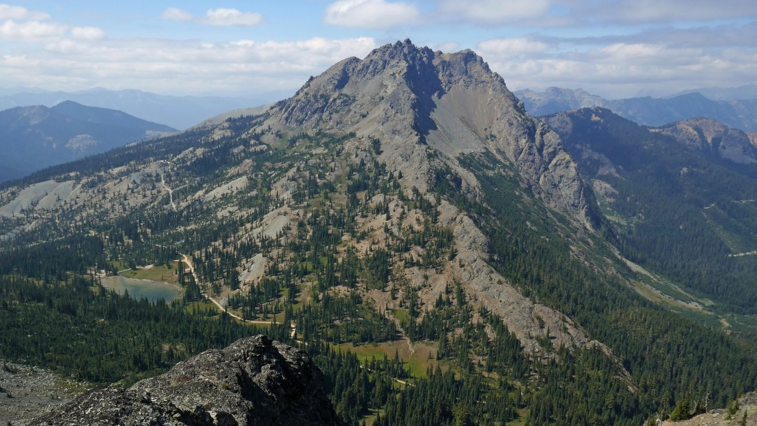
In the boulder field and high enough to look back at Small Fortune on the left and Fortune Peak on the right... the Lake Ann overlook is in the saddle between the two peaks.
|
Continuing toward the 5800 fott pass on the east side of Esmeralda's north ridge.
|
Heading for the 5800 foot pass on the east side of Esmeralda's north ridge.
|
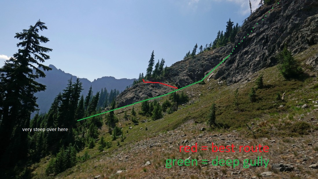
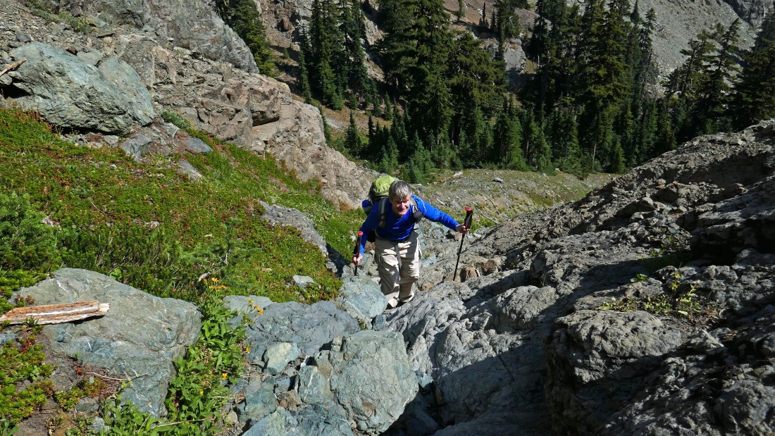
We have reached the 5800 foot pass... we didn't choose the best route from here... teased by what looked like a reasonable gully route to take us higher... it worked, but we found a much better route on our return to the car.
|
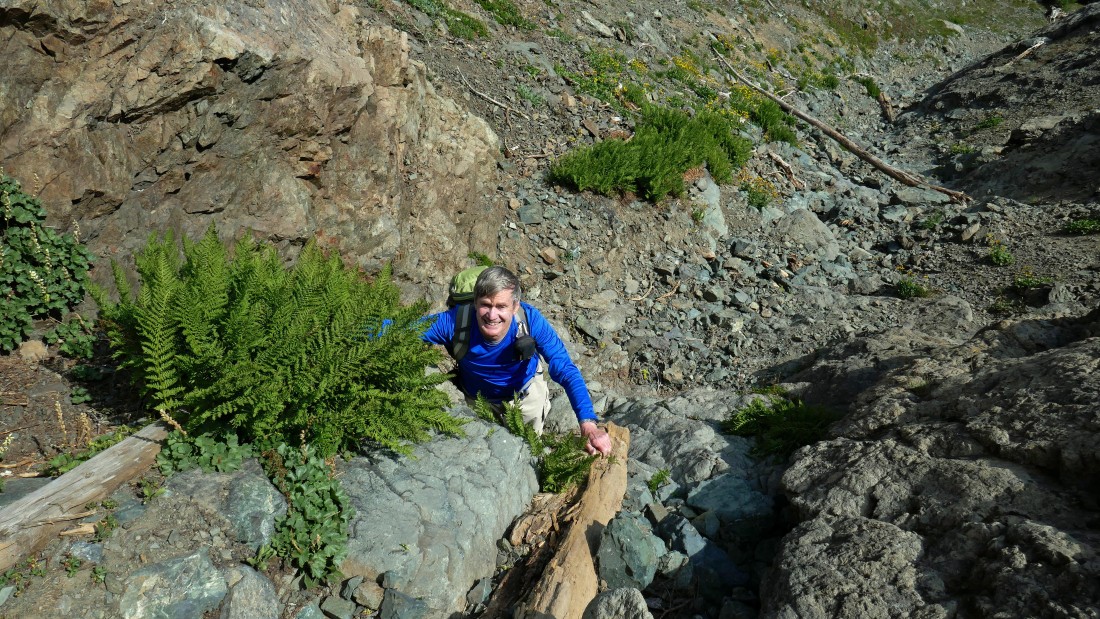
rodman gains elevation in our gully route.
|
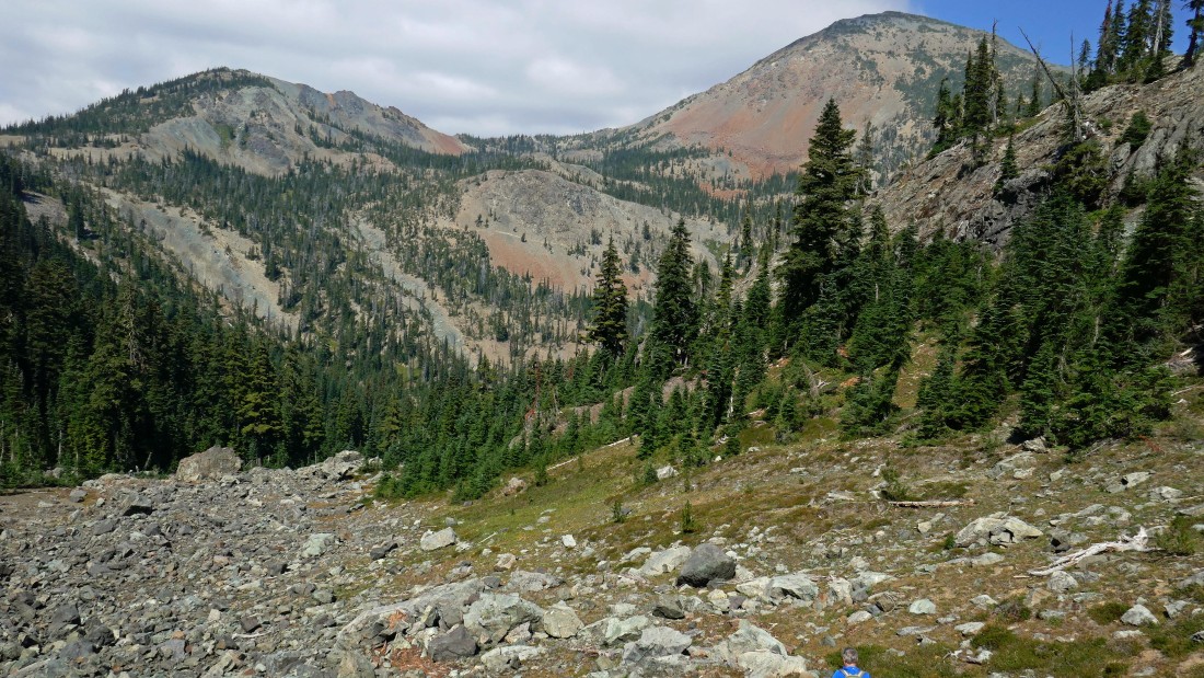
High enough now to look beyond Fortune Peak and 'Not Hinkhouse' Peak to the Stuart Range.
|
Still gaining elevation in the gully.
|
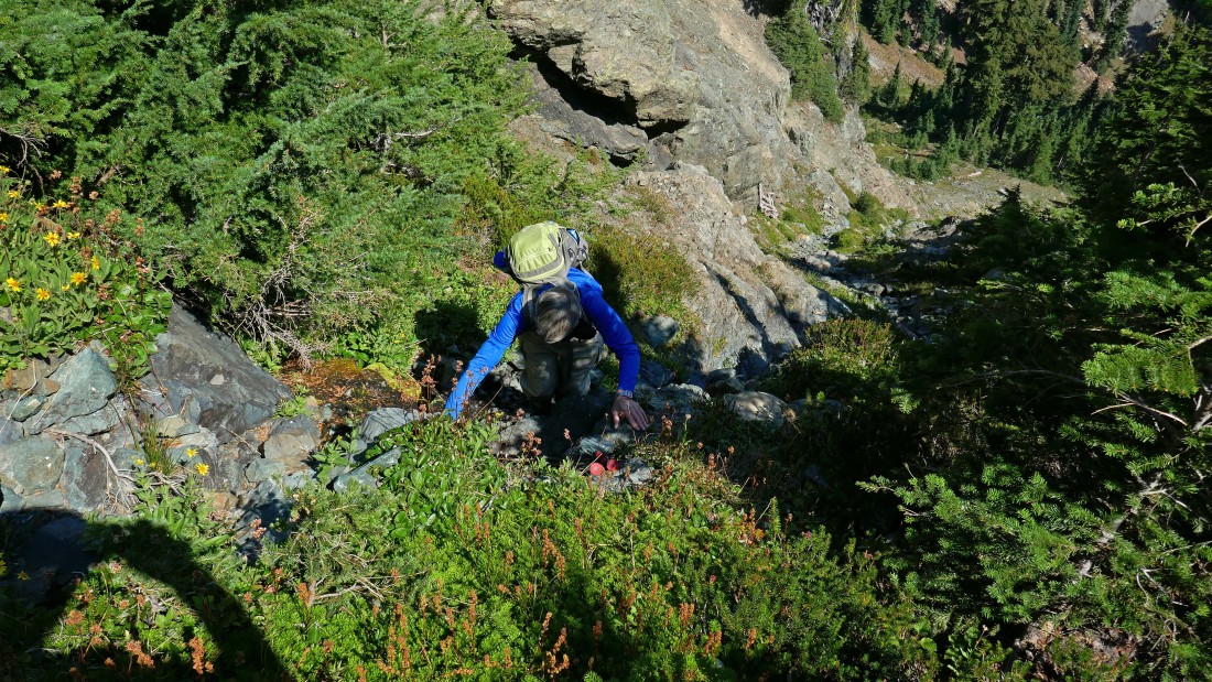
After gaining ~300 feet of elevation in the gully it is time to exit the gully and look for easier terrain.
|
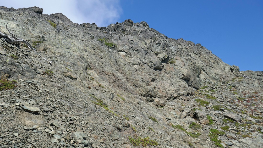
After getting out of the gully at ~6150 feet of elevation we started traversing along the east side of Esmeralda's north ridge.
|
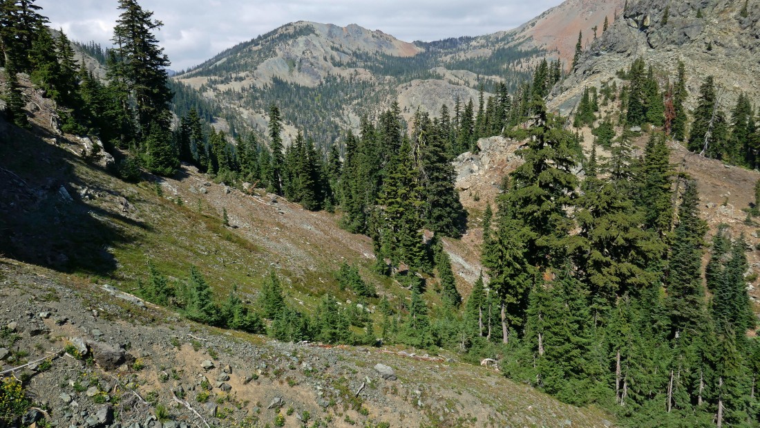
Looking down Esmeralda Basin from the east side of Esmeralda's north ridge... Esmeralda is a huge mountain with multiple, very distinct high points.
|
Working our way along the east side of Esmeralda's north ridge... trying to get around the corner on the far left.
|
Almost around the corner now... looking back at Fortune Peak.
|
Hooray... we have got around the corner and will head for the saddle up above.
|
rodman heads for the saddle above on the right... the twin bumps on the left are the two west summits of Esmeralda.
|
Nearing the saddle on Esmeralda's north ridge.
|

We have reached Esmeralda's north ridge... looking down on Gallagher Head Lake and over to Hawkins Mountain.
|
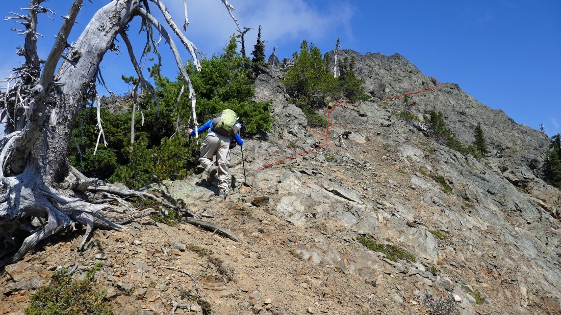
From the saddle we are heading north on the north ridge... searching for the high point on the ridge... there is a very convenient ramp up above or we wouldn't be going much higher here.
|
Gotta love the ramp on the right side of the photo.
|
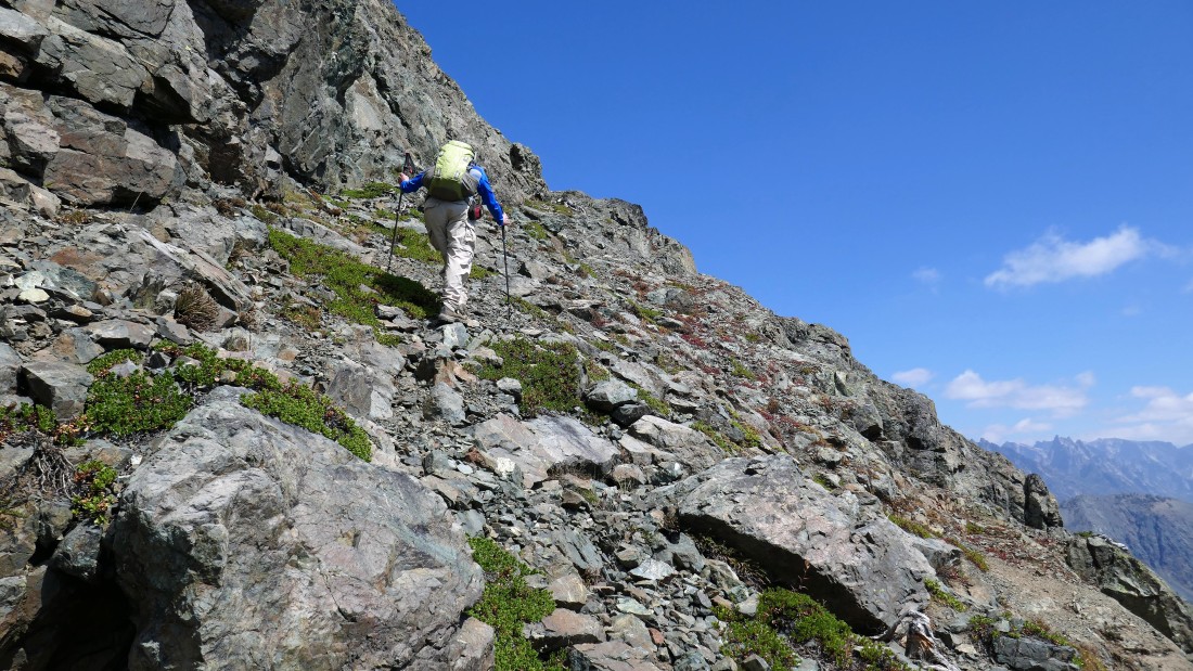
rodman heading up on the ramp.
|

rodman continues on the ramp... still gaining elevation as he rounds the corner.
|
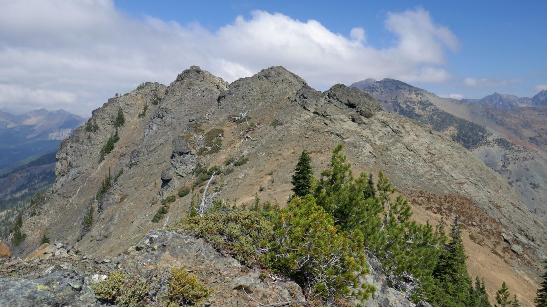
Off of the ramp now... Point 6621 is over there in the center of the photo... with Point 6683 just to the left of 6621.
|
rodman heads for Point 6621.
|
Pretty easy terrain here as we head for Point 6621 on the far left.
|
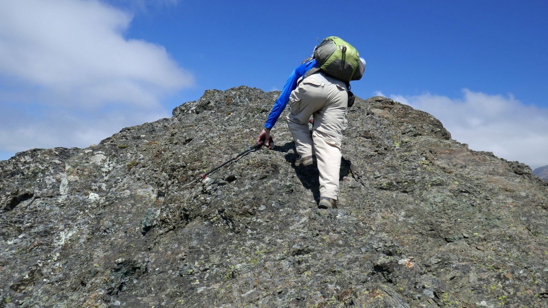
rodman gets ready to stand on top of Point 6621.
|
rodman stands on top of Point 6621... which will be our high point for the day... we searched for a reasonable way to get over to Point 6683... but alas, we could not find one.
|
Peak identification looking north and NE from Point 6621.
|
Hawkins Mountain from Point 6621.
|
Peak identification looking south and SE from Point 6621.
|
Peak identification looking north to east from Point 6621.
|
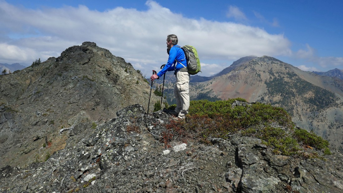
We traced our steps back to the saddle where we gained Esmeralda's north ridge and will head back down to the little basin below... Esmeralda's east peaks and middle peak are in the foreground.
|
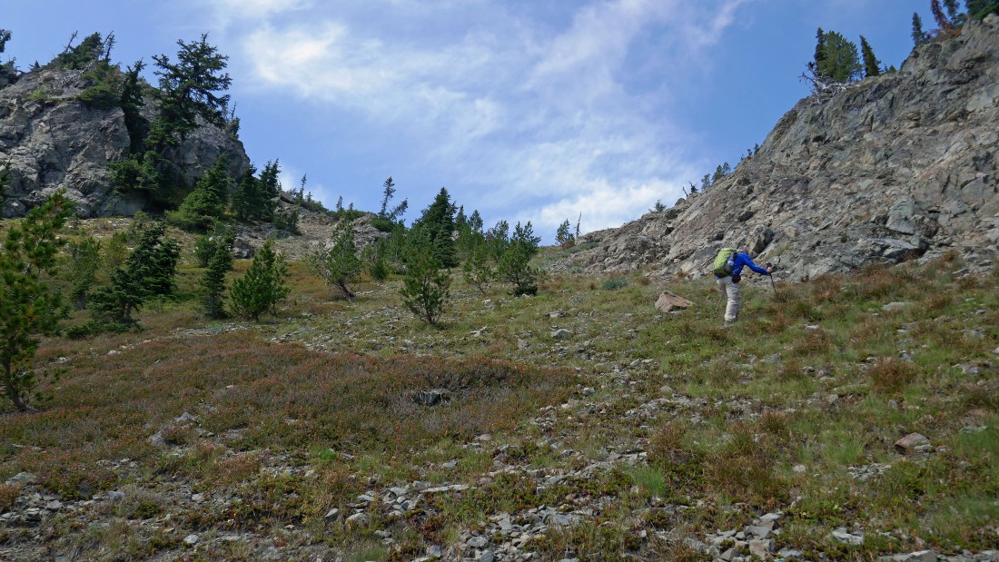
We have reached the little basin on the east side of Esmeralda's north ridge... looking back at the saddle on the right where we gained the ridge... and Esmeralda's two west peaks on the left.
|
Looking over at the 5800 foot pass in the foreground... we were able to completely avoid the steep gully that we used on the way up by taking a more direct route down to ~6000 feet before starting our downward-trending traverse over to the pass... neither of us ever wanted to see that gully again.
|

Back at the 5800 foot pass and looking down the boulder field.
|
Working our way down the side of the boulder field... when we get to the end of the boulders we will have to deal with the short bushwhack that will take us down to the abandoned mining area and the main trail.
|
Back on the Esmeralda Basin Trail... a two mile hike will get us back to the car... our trip was 6.8 miles, gaining 2592 feet of elevation.
|
