Volcanic Neck and Bean Peak - 8.31.2018
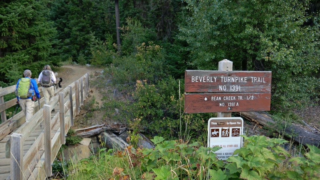
Drive the N. Fork Teanaway Road (aka FS-9737) for 3.7 miles... then turn right onto the unsigned Road 112 and drive it for 1.2 miles and park (3630') at the end of the road... then start hiking on Beverly Turnpike Trail #1391.
|
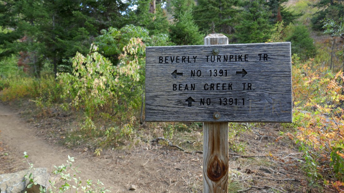
Hike .4 miles to the junction with Bean Creek Trail #1391.1 and continue on the turnpike trail.
|
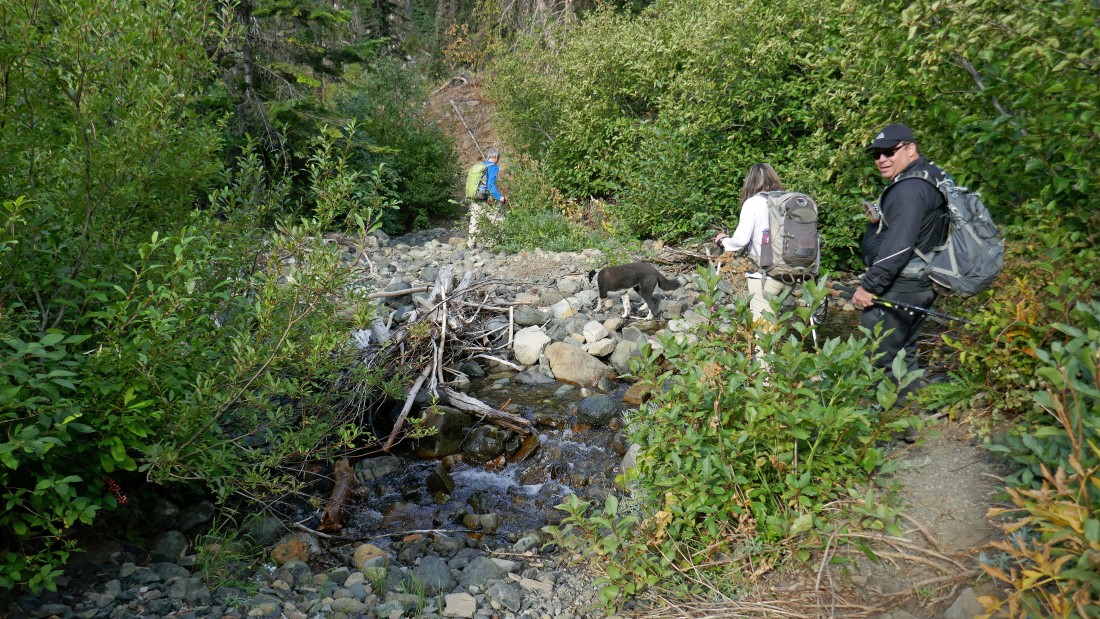
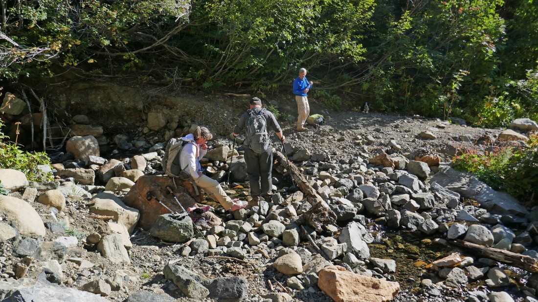
Crossing Bean Creek several feet beyond the trail junction and continuing on Beverly Turnpike Trail #1391.
|
Continuing on the Beverly Turnpike Trail with views of Iron Peak on the far left... Teanaway Peak in the center... with Bills Peak on the right.
|
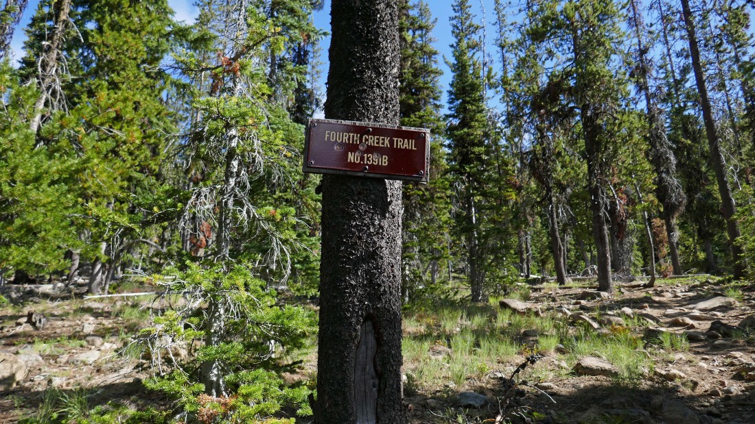
After hiking a total of 2.8 miles we have reached the junction (~5200') of Beverly Turnpike Trail and Fourth Creek Trail... we will head for Fourth Creek Pass.
|
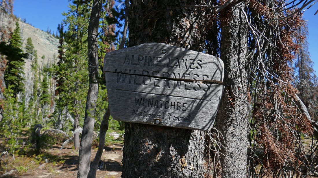
Crossing into the Alpine Lakes Wilderness at Fourth Creek Pass (~5570') after hiking a total of 3.2 miles.
|

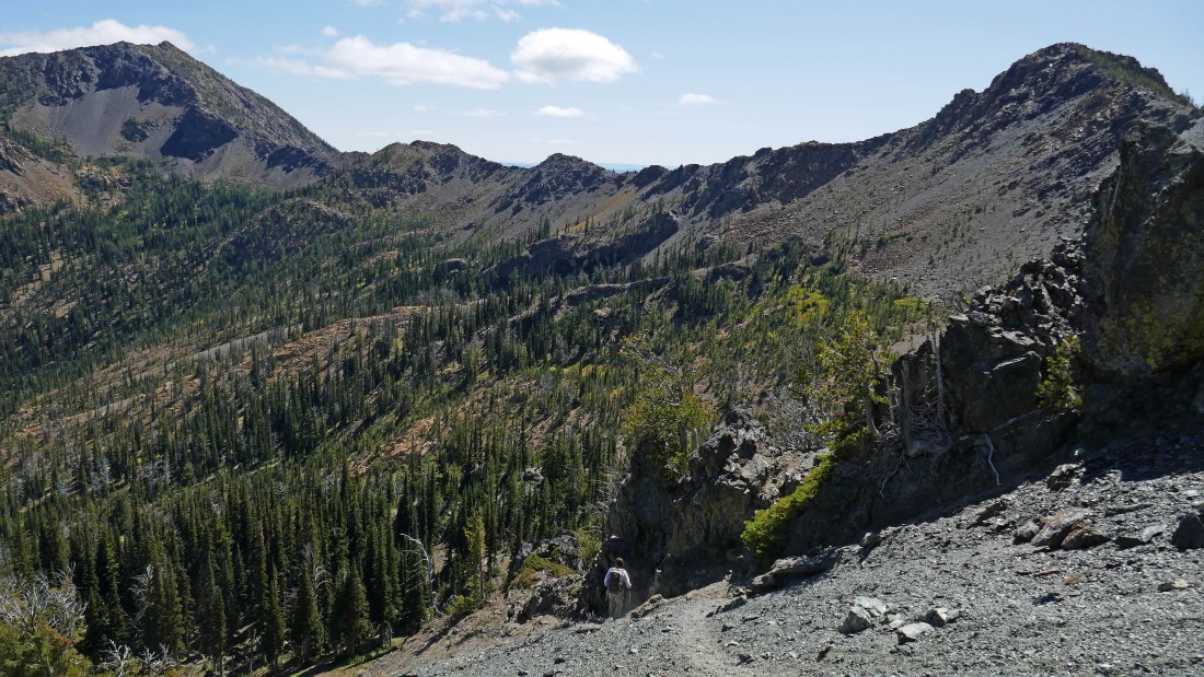
At Fourth Creek Pass we will continue on the unsigned County Line Trail #1226.1 toward Hardscrabble Creek.
|

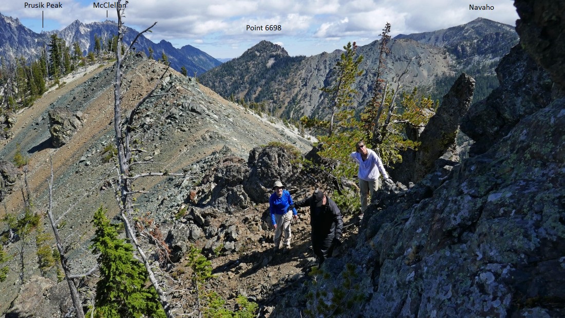
Peakaboo views of the Stuart Range as we continue on the County Line Trail toward Volcanic Neck... left-to-right... Argonaut, Colchuck, Dragontail and Little Annapurna.
|
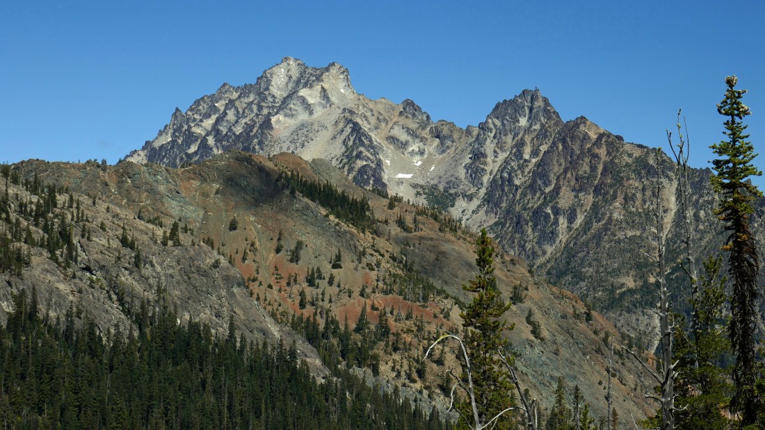
Mt. Stuart and Sherpa Peak from the County Line Trail on the north side of Bean Peak.
|
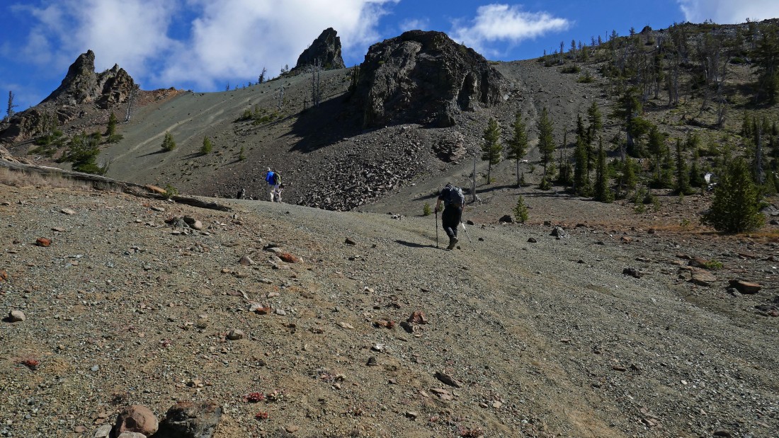
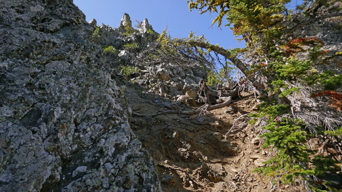
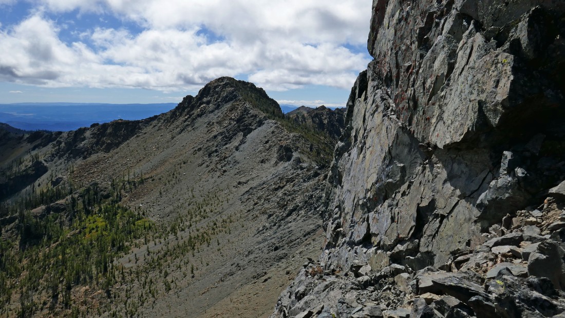
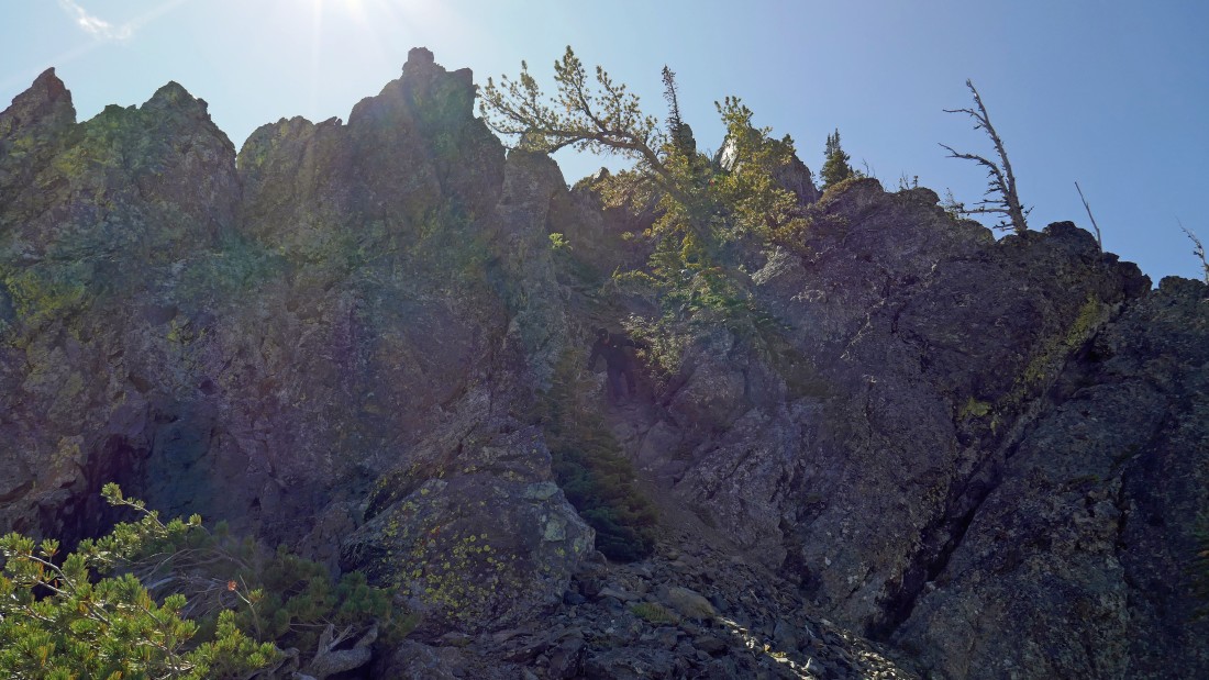
Continuing on the County Line Trail... Volcanic Neck is up there on the ridge in the left-center of the photo... the trail will switchback up to the ridge through the trees on the right.
|
|
Peak identification from just below the Volcanic Neck/Bean Peak saddle.
|

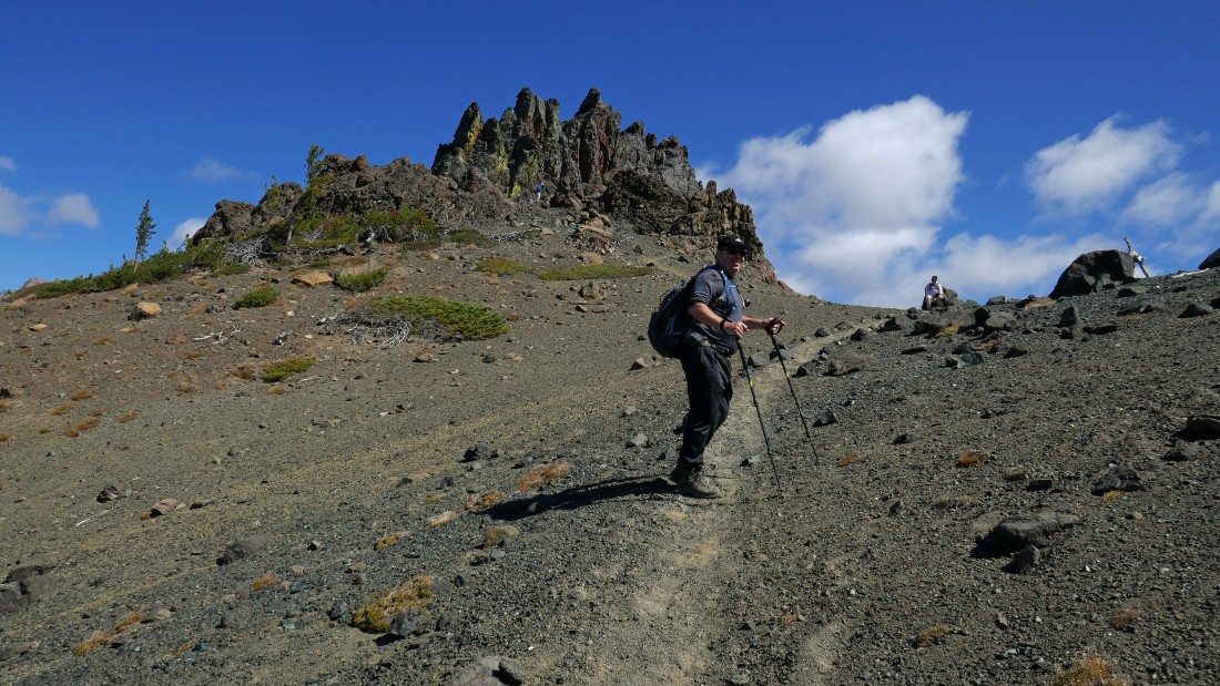
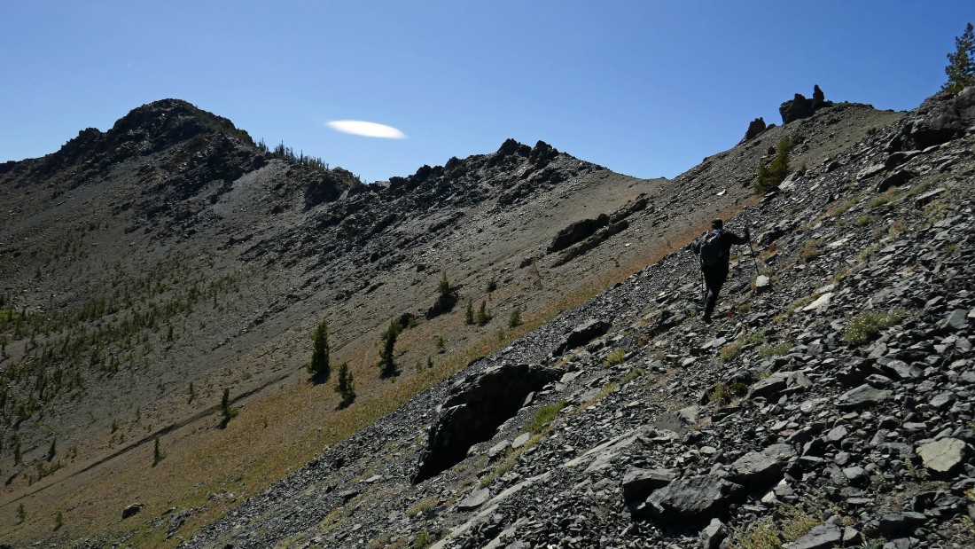
Switchbacking our way up to the Volcanic Neck/Bean Peak saddle.
|
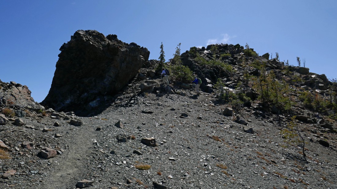
After hiking a total of 4.5 miles we have reached the Volcanic Neck/Bean Peak saddle (~6440').
|
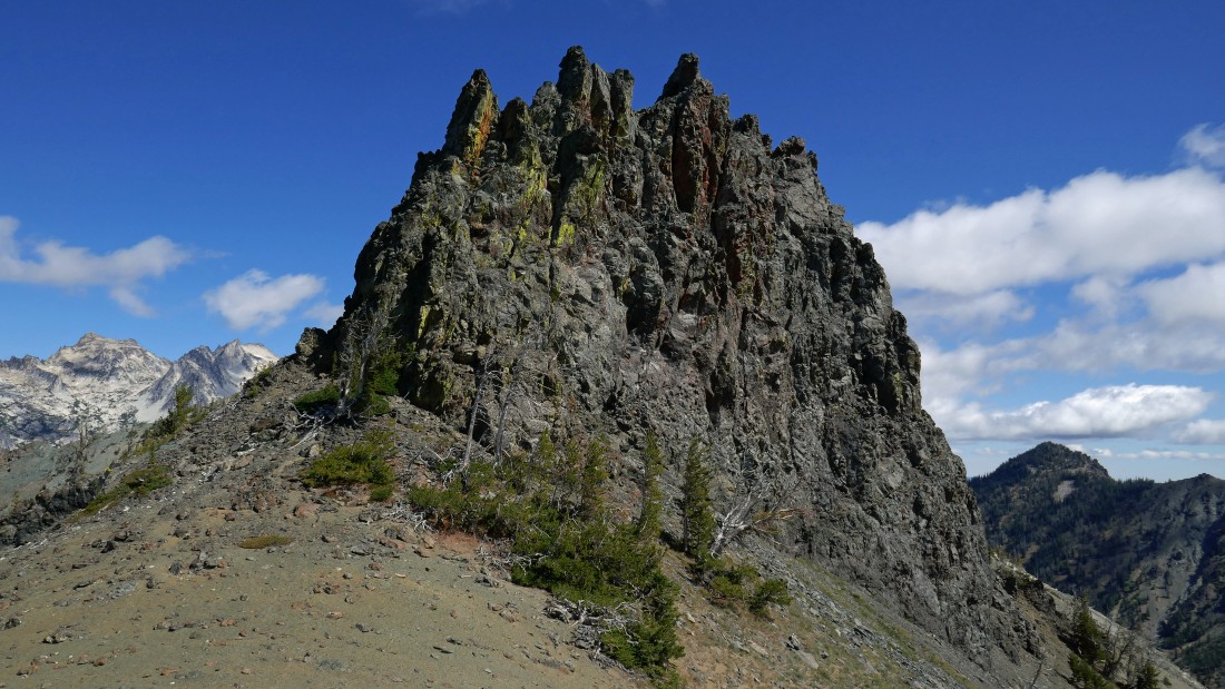
Volcanic Neck from the Volcanic Neck/Bean Peak saddle... Colchuck Peak and Dragontail Peak in the distance on the left... Point 6698 in the distance on the right.
|

Looking back at Bean Peak as we get ready to go around the south side of Volcanic Neck and work our way over to its east side... Marys Peak on the far right.
|
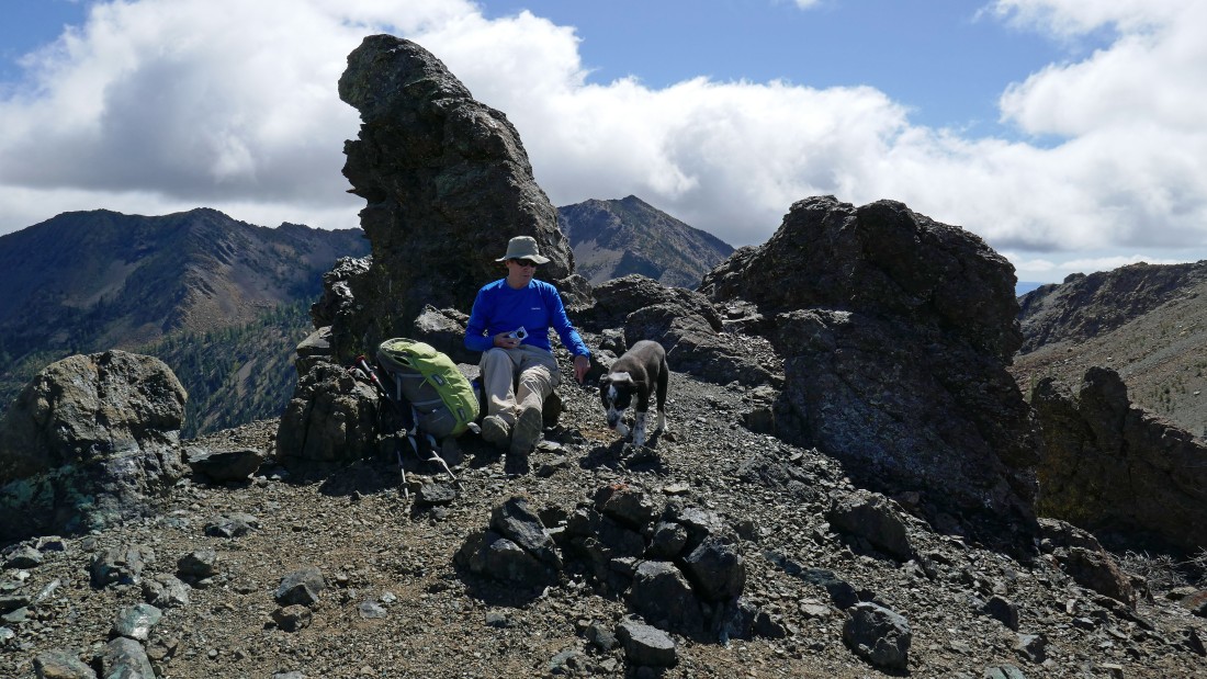
rodman scolds Izzy from the Volcanic Neck/Bean Peak saddle... Earl Peak in the distance.
|
Most of the Stuart Range from the Volcanic Neck/Bean Peak saddle... gotta love the variety of lichen colors on Volcanic Neck.
|
Leaving the Volcanic Neck/Bean Peak saddle and following a faint path that will take us around the south side of Volcanic Neck and over to its east side... the summit of Navaho Peak is in the clouds on the right.
|
Working our way along the south side of Volcanic Neck... Point 6698 is in the distance.
|

The path will take us slightly up and then over to the other side of this craggy rib.
|

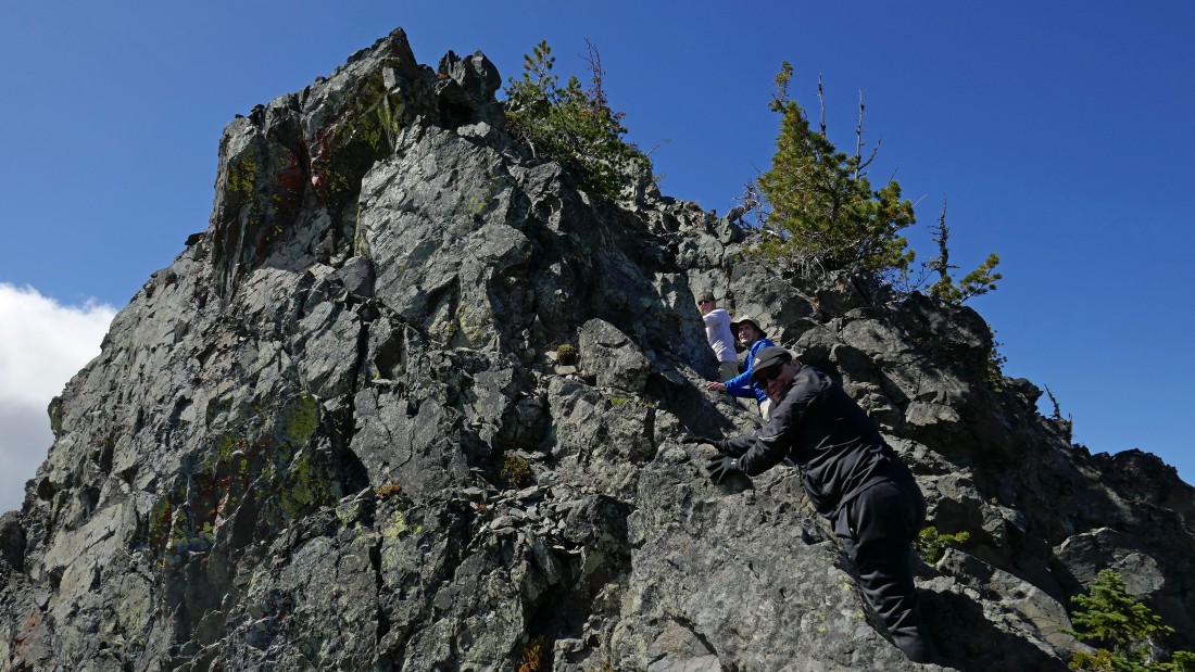
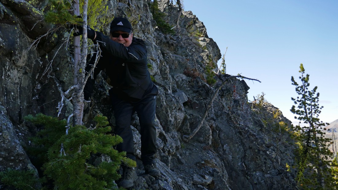
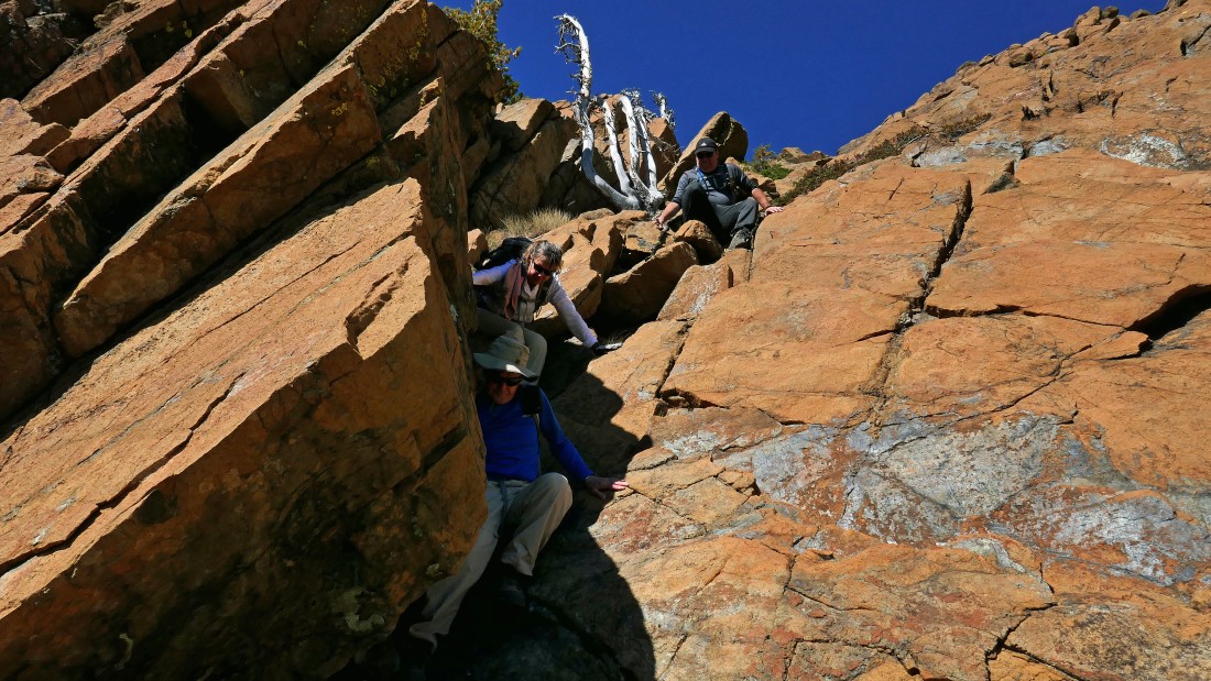
davman coming up and over the craggy rib.
|
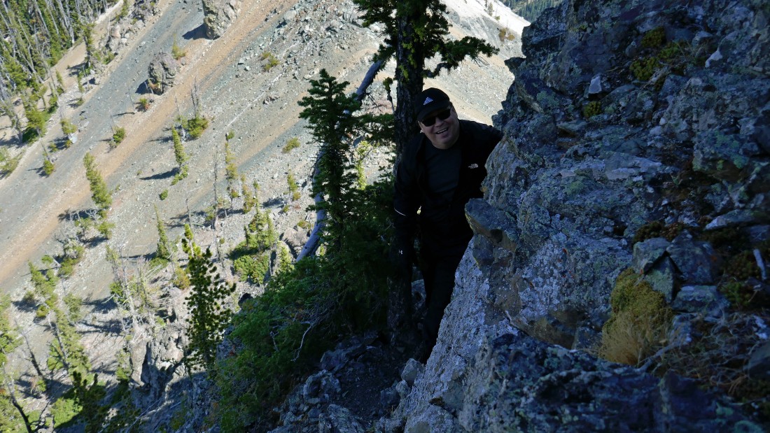
We have crossed over the craggy rib and will head up to Snowdog who is standing on the east side of Volcanic Neck.
|
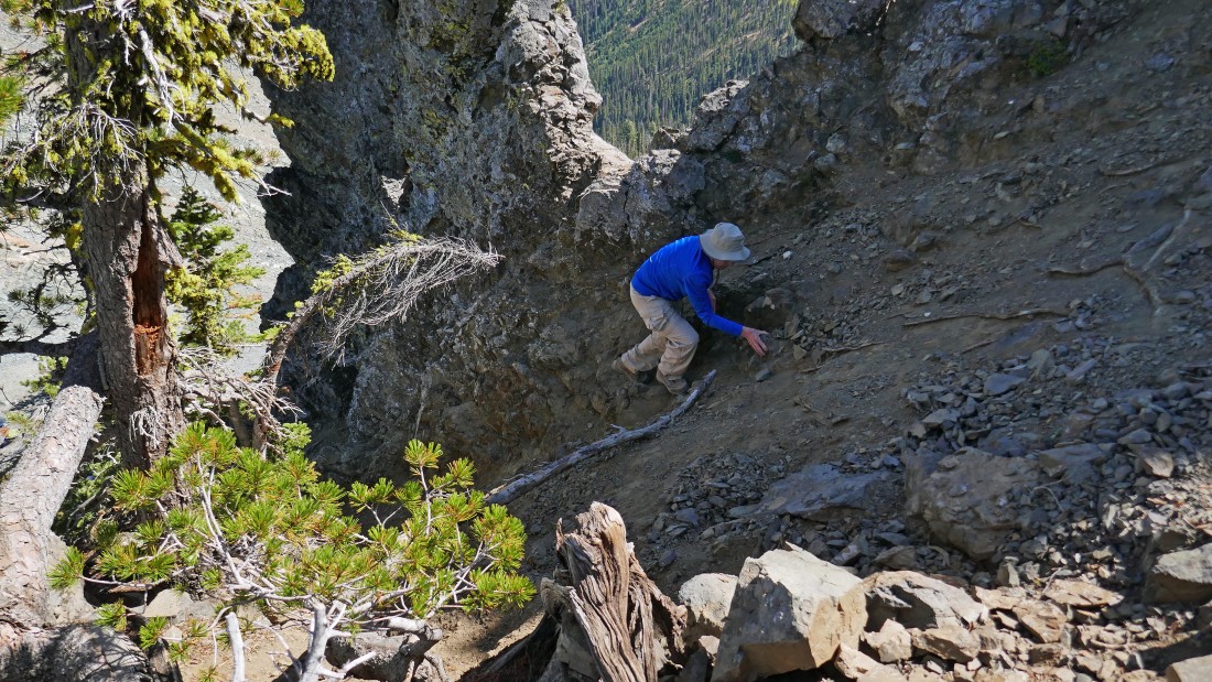
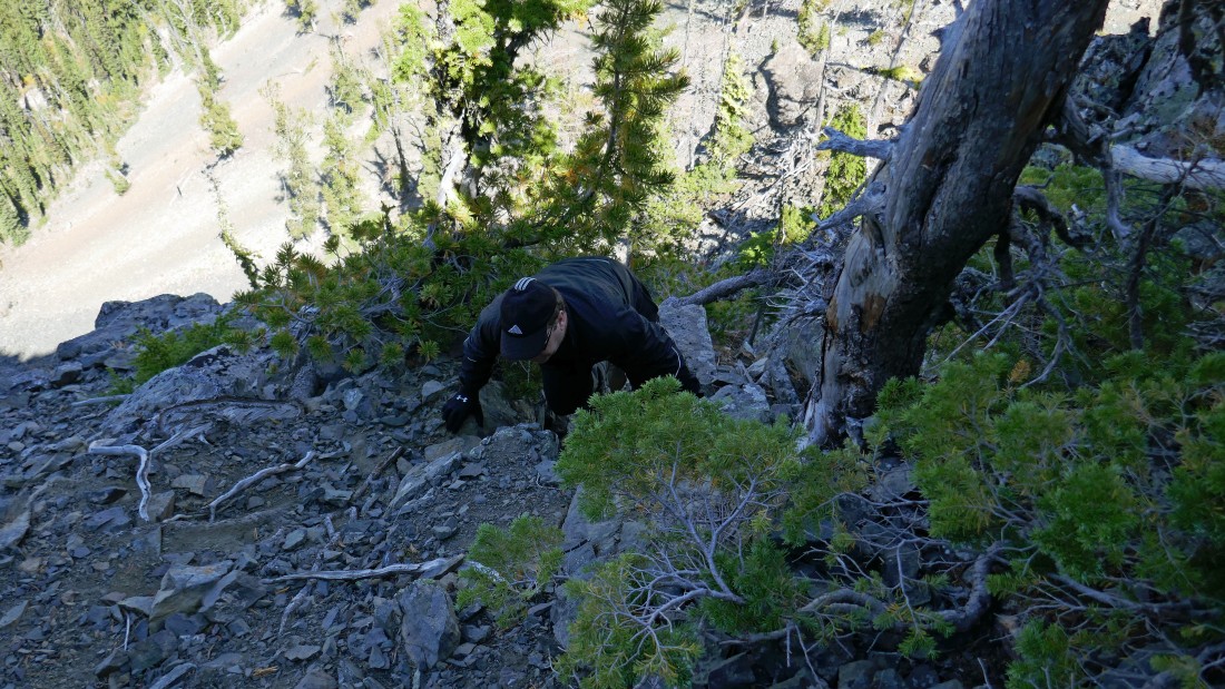
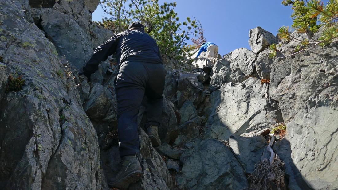
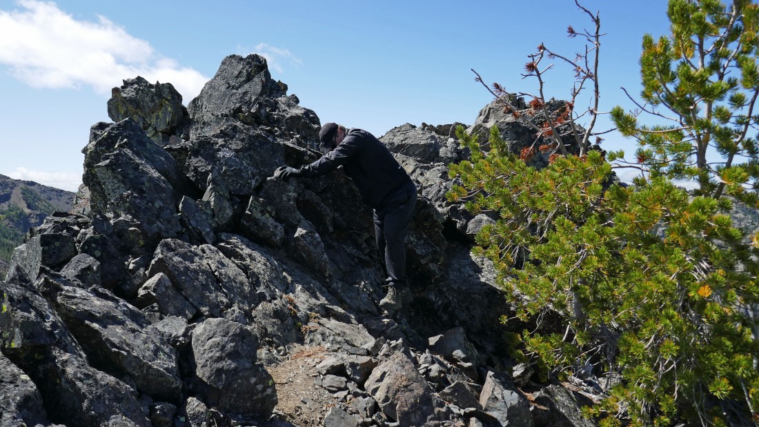
IMO the scramble of Volcanic Neck includes 3 distinct gullies... with each gaining 50-60 feet of elevation... this is the upper portion of the first gully which begins immediately from the east side of Volcanic Neck... very loose terrain here and I consider it the most difficult of the three gullies.
|
rodman near the top of the first gully.
|
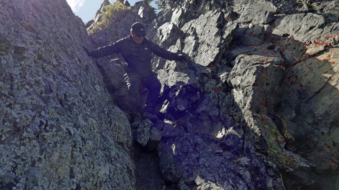
We have finished the first gully and traversing a short distance around the north side of the neck in search of the second gully.
|
Still looking for that second gully.
|
davman is still having fun.
|
davman works the top portion of the second gully.
|
rodman in the second gully... with Snowdog waiting her turn.
|

Snowdog coming up the second gully.
|
rodman at the top of the second gully... Earl Peak in the distance.
|
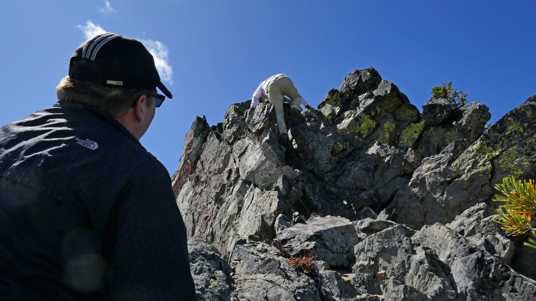
From the top of the second gully we have made a very short traverse over to the beginning of the third gully... Snowdog leads the way.
|

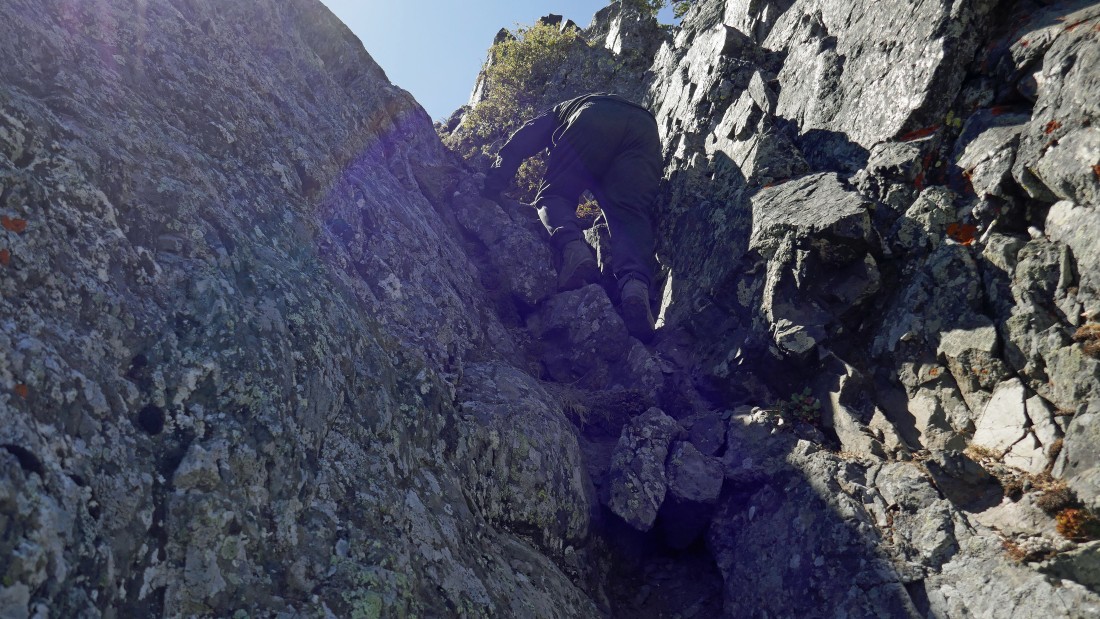
Working the third gully.
|
Scrambling the third gully.
|

Almost done with the third gully.
|
Up and over.
|
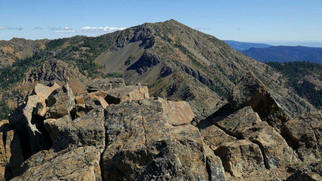
Bean Peak from near the top of the third gully.
|

davman at the top of the third gully.
|

Now it's just a matter of traversing over to the summit (6608') of Volcanic Neck... Bills Peak in the distance on the right.
|
Snowdog and rodman near the summit of Volcanic Neck.
|
|
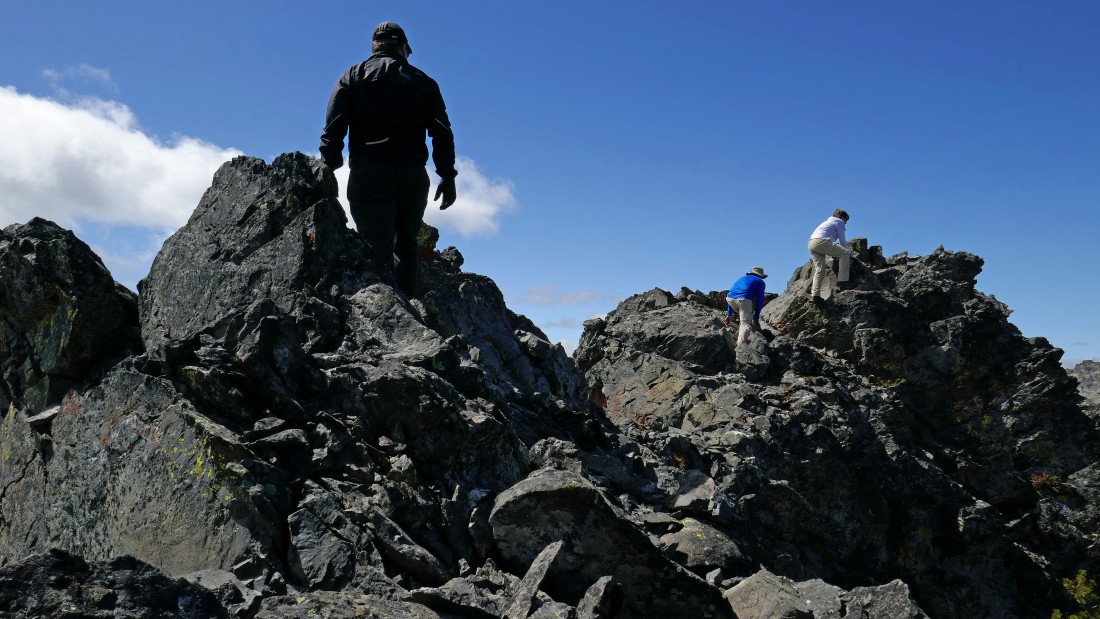
After hiking a total of 4.8 miles davman is ready to join rodman and Snowdog on the summit (6608').
|
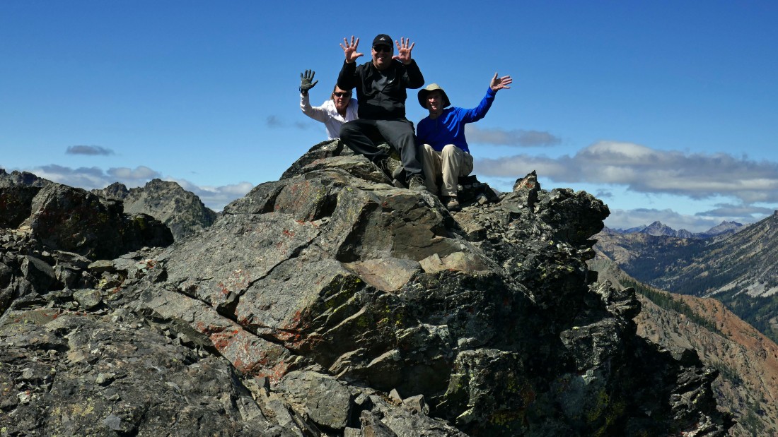
davman joins the rest of us as members of the 'Mountaineers Teanaway Twenty Peaks' list.
|
rodman and Snowdog start down from the summit... the Stuart Range in the distance... with Devils Head in the right foreground.
|
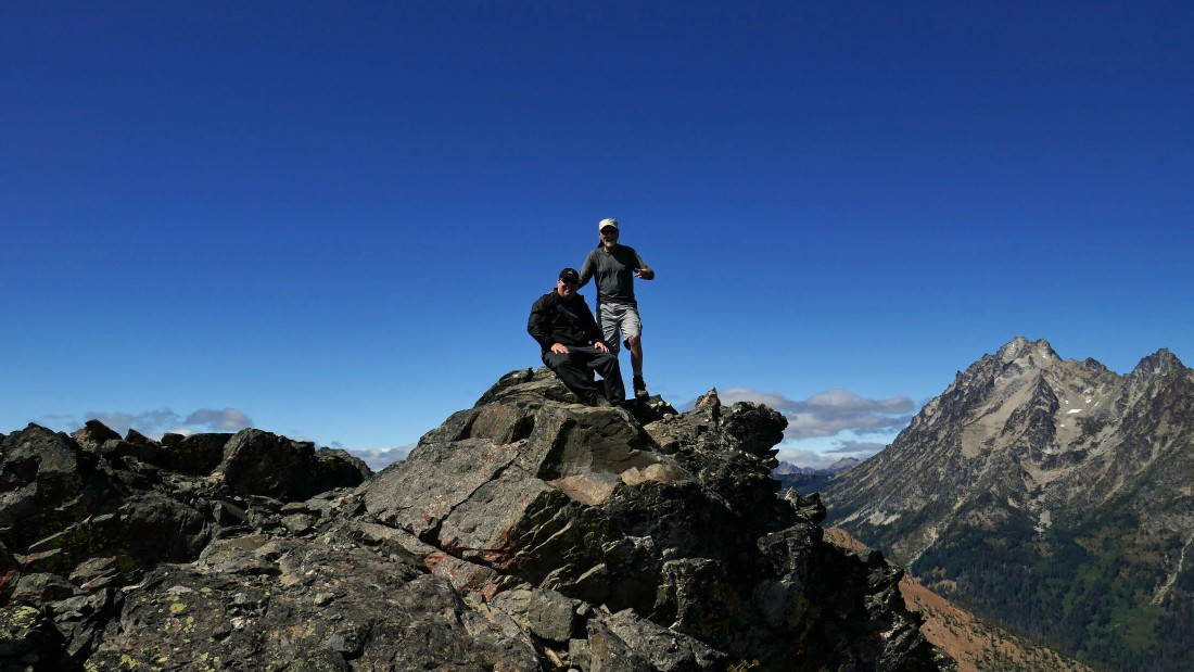
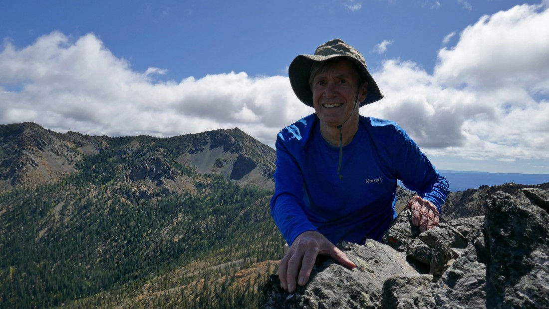
Snowdog took this photo of me joining davman on the summit.
|
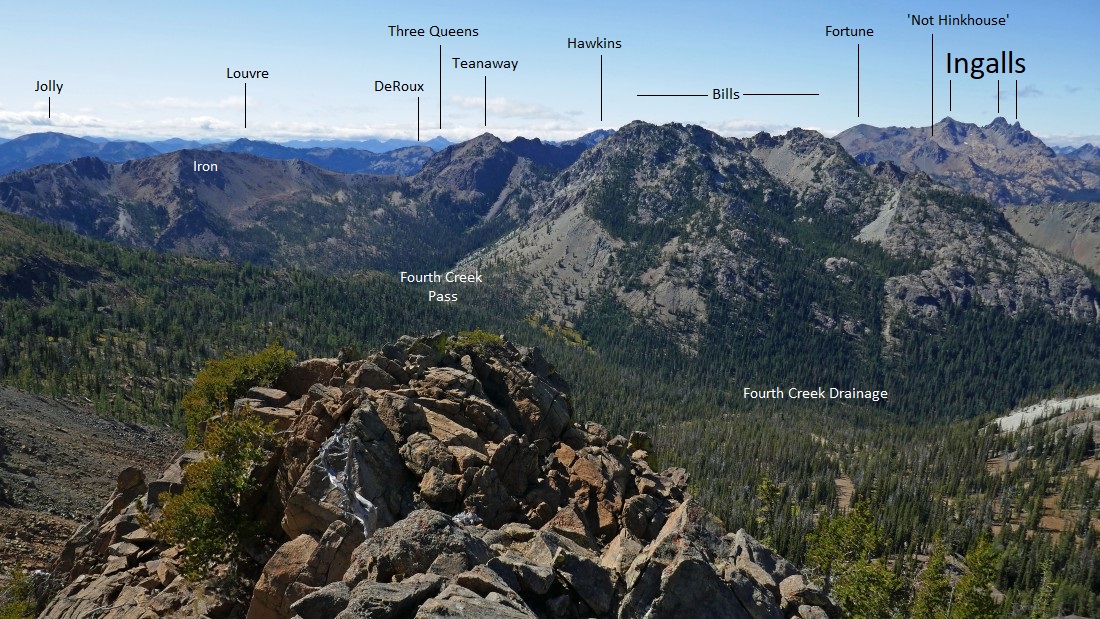
Some peak identification from the summit of Volcanic Neck.
|
|
More peak identification from the summit of Volcanic Neck.
|
What goes up must go down.
|
Coming down the second gully.
|
rodman and Snowdog wait for us down at the bottom of the first gully where we began our ascent from the east side of Volcanic Neck
|
davman is still smiling... making the short traverse between the first and second gullies.
|
davman finishing up the first gully.
|
Leaving the east side of Volcanic Neck... getting ready to cross back over the craggy rib on the right and trace our steps back to the Volcanic Neck/Bean Peak saddle.
|
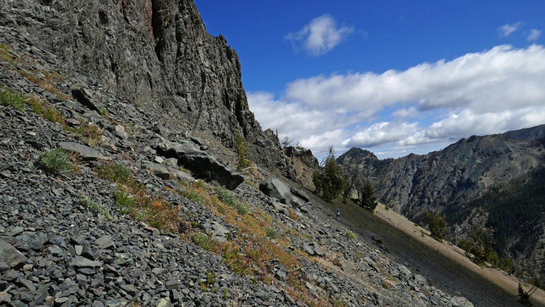
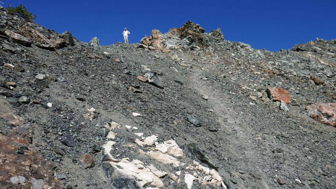
On the south side of Volcanic Neck... the faint path we are following deals with a lot of loose rocks... heading for the saddle... Bean Peak is on the far left.
|
After hiking a total of 5.1 miles we have returned to the Volcanic Neck/Bean Peak saddle (~6440') and are following a path up the north ridge of Bean Peak.
|
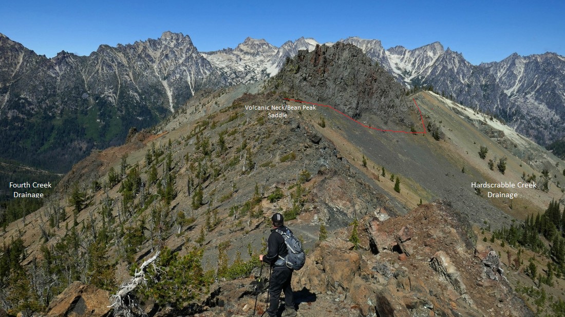
Looking back at Volcanic Neck as we continue up the north ridge of Bean Peak... the red line shows our approximate route from the saddle over to the east side of the neck.
|

After hiking a total of 5.5 miles we have reached the summit (6743') of Bean Peak... Snowdog took the photo of me giving my support to the Washington Huskies for the big game they will play against Auburn the next day... if my support helped, it didn't help enough.
|
The Stuart Range from the summit of Bean Peak... Volcanic Neck is in the foreground... with Devils Head directly behind the neck.
|

Judis Peak on the left with Marys Peak on the right... and Mt. Rainier between them on the horizon.
|
Earl Peak from the summit of Bean Peak.
|
Peak identification from the summit of Bean Peak.
|

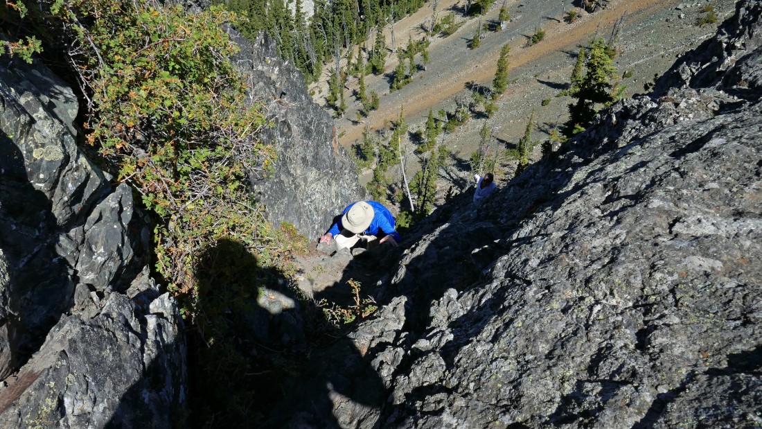
Beginning the Class 2/3 scramble down the south side of Bean Peak.
|
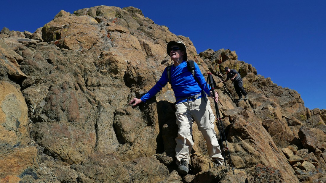
Working our way down the south side of Bean Peak.
|
Scrambling down the south side of Bean Peak.
|
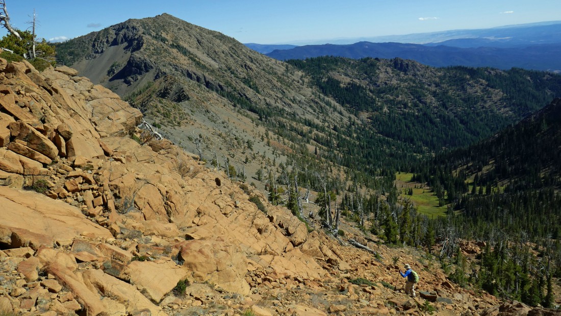
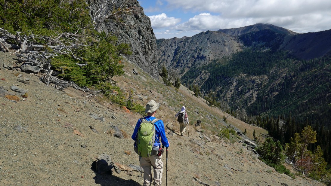
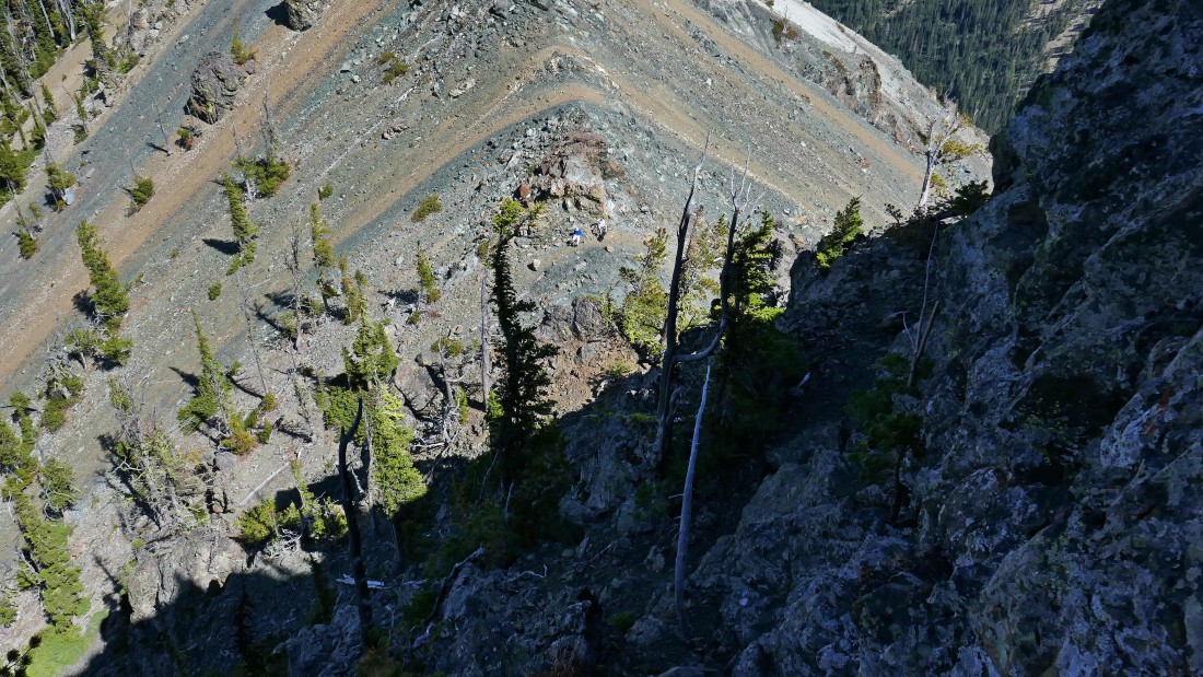
After getting down off of the steep south face of Bean Peak we will head SE (toward Earl Peak) for awhile in search of easier terrain that will take us down to Bean Creek Basin below... Earl Peak in the distance on the left.
|

Is that a ninja warrior leading us down... Earl Peak in the distance.
|

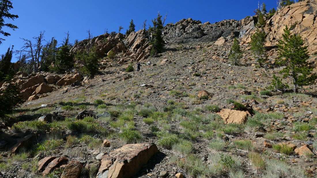
Not the most fun terrain as we work our way down toward Bean Creek Basin.
|
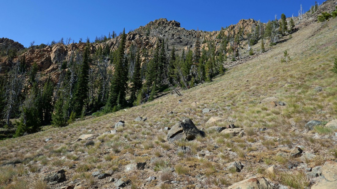
Almost off of the loose rocks and pebbles.
|
Looking back at Bean Peak.
|

After hiking a total of 6.2 miles we have reached Bean Creek Basin (5590')... here looking back up at Bean Peak.
|
After hiking a total of 8 miles we have reached a crossing of Bean Creek... it will be another .2 miles down to where we crossed Bean Creek earlier in the day... where we will close the loop portion of the hike... leaving a .4 mile hike back to our car... our total hike and scramble was 8.6 miles, gaining 3562 feet of elevation.
|
