Frenchman Coulee, Echo Basin and Island Plateau - 9.13.2018
|
A google earth look at the hike... I took exit 143 off of I-90... then followed Silica Road for .8 miles... then left onto Old Vantage Hwy and drove it for .6 miles and parked in an obvious turnout... then did the loop in a counter clockwise direction.
|
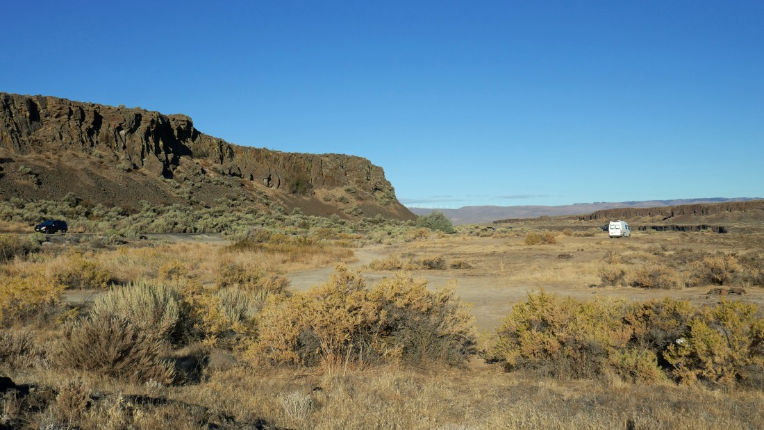
That's my car on the far left... parked in a turnout on Old Vantage Hwy... there is no signage where I parked. If there isn't enough room to park in the turnout, there is plenty of room to park where the white van is parked.
|
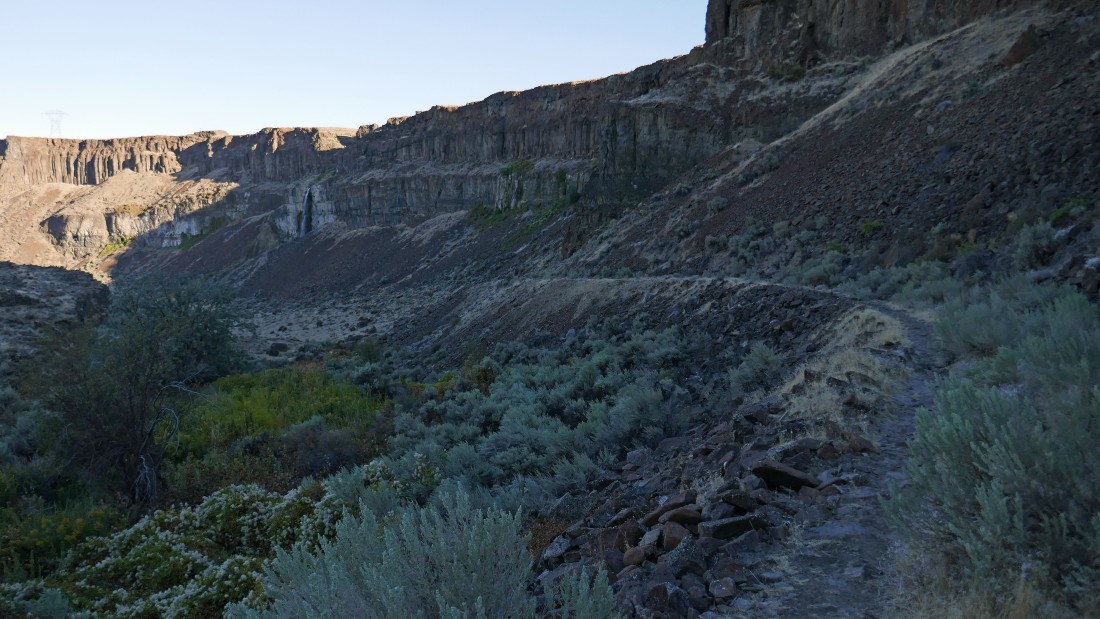
Hiking down into Frenchman Coulee on an abandoned road.
|

Looking down Frenchman Coulee as I continue down the abandoned road.
|
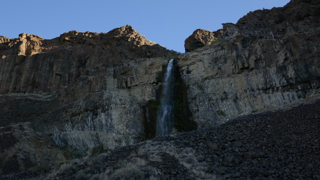
I've reached the floor of Frenchman Coulee and checking out this waterfall.
|
There is a dirt road down the center of the coulee, but I'm going to follow a pretty good path that stays near the north side of the coulee floor.
|
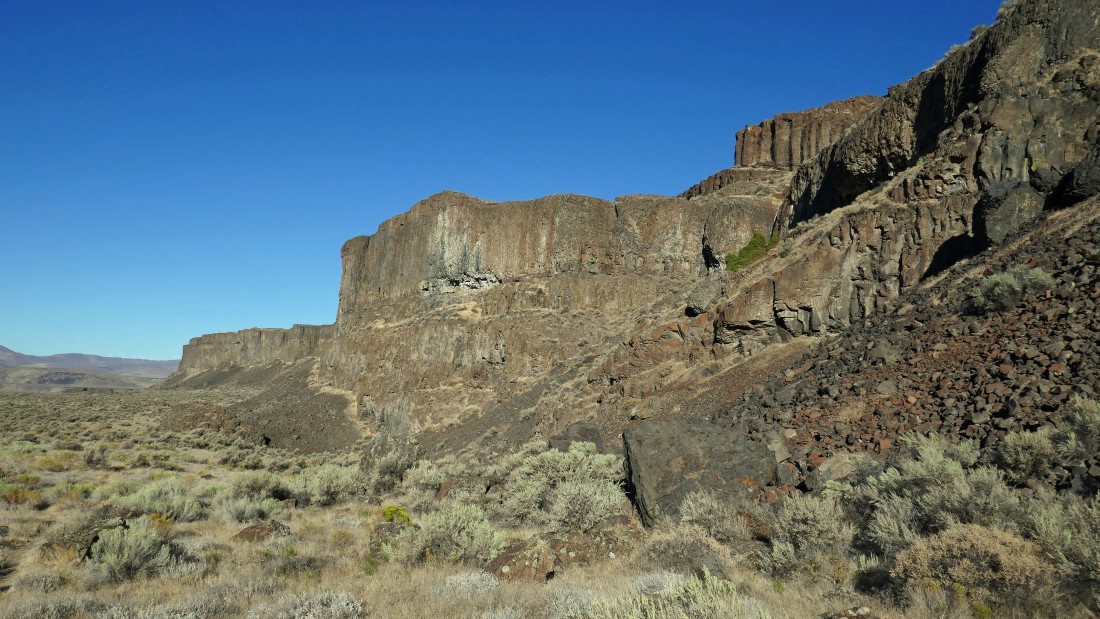
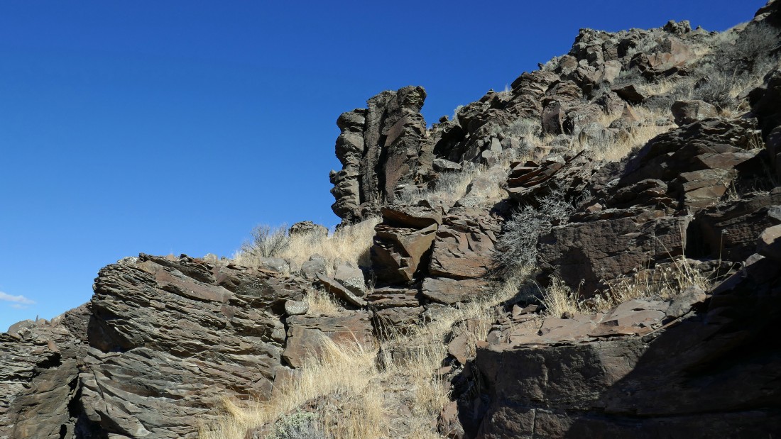
Continuing down Frenchman Coulee... the jagged looking rock formation in the upper left is the 'Feathers'... a very popular sport climbing area.
|
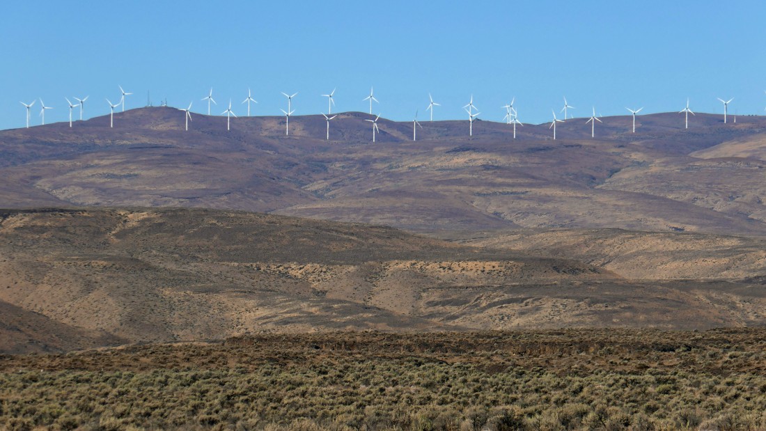
Continuing down Frenchman Coulee... looking across Babcock Bench and the Columbia River to the wind turbines on Whiskey Dick Mountain.
|
Looking back up Frenchman Coulee and getting ready to cross Old Vantage Hwy into Echo Basin.
|

Crossing Old Vantage Hwy... a person could start the hike from this location as well as where I did higher back up the road.
|
|
I'm hiking along Babcock Bench... crossing the mouth of Echo Basin and heading for some sand dunes down there on the far right of the photo.
|
Getting closer to the sand dunes.
|
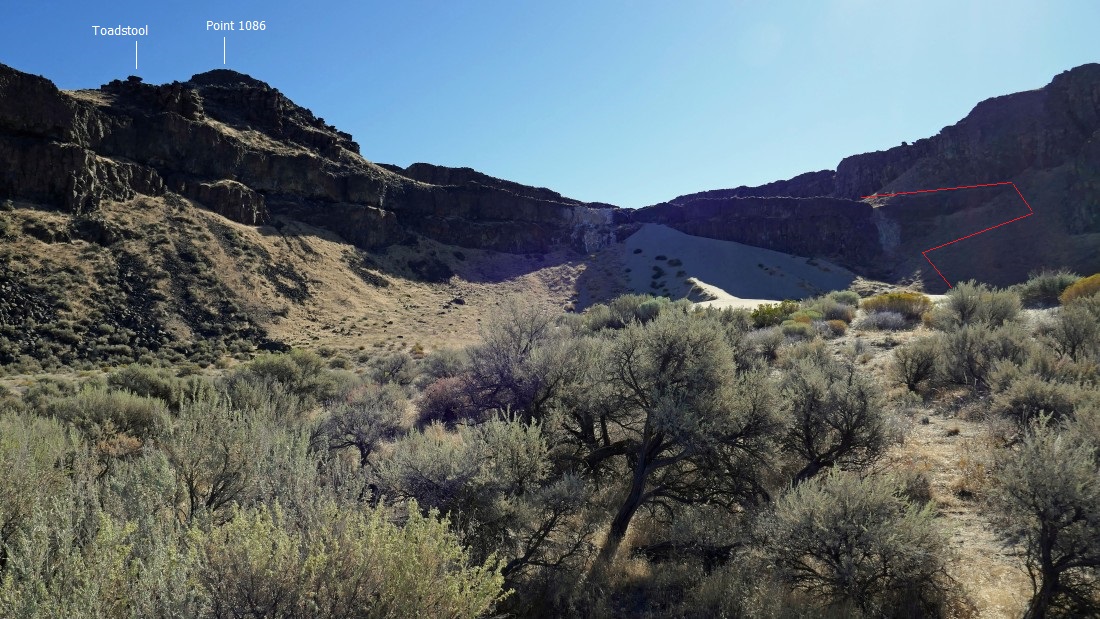
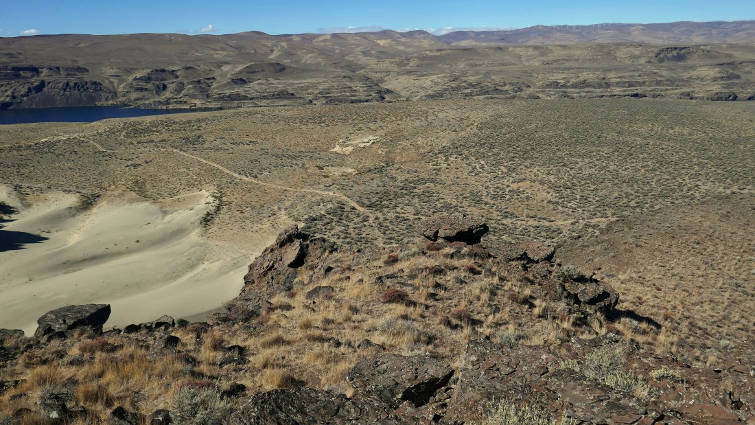
Nearing the sand dunes... I can see the path that will get me up to the next plateau... I'm going to cross over Point 1086 and check out that toadstool.
|

Can you say 'Lawrence of Arabia'.
|
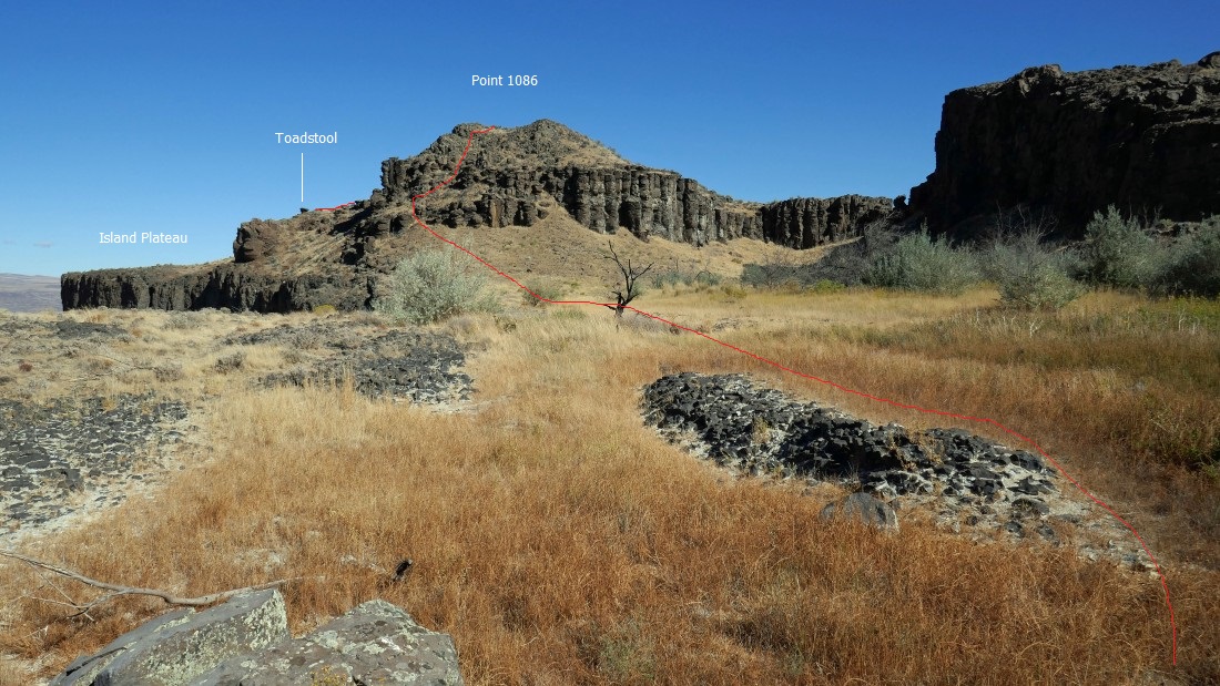
On that good path... looking over at Point 1086 on the left... and to the left of 1086 is the west end of Island Plateau.
|
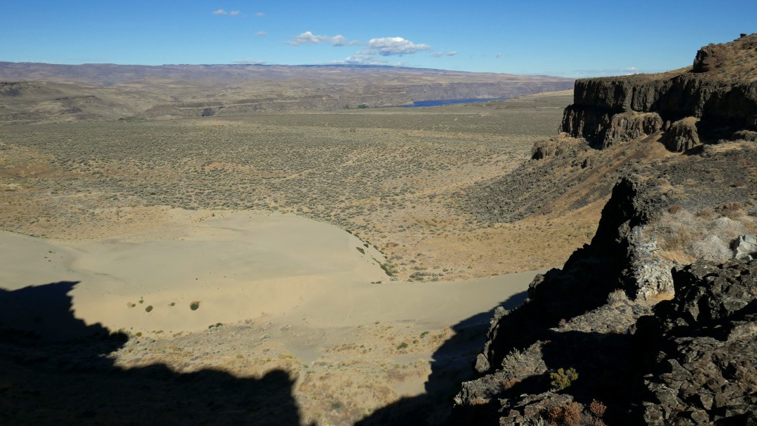
Looking down on the sand dunes from above... and across Babcock Bench to a sliver of the Columbia River in the distance.
|
The approximate route that I will take to cross over 1086 to get to the toadstool and Island Plateau.
|
Heading up to the right will get me up on Point 1086... minor scrambling.
|
On top of Point 1086 with a better view of the Columbia River... the west end of Island Plateau is below on the right.
|
Still on Point 1086... looking across the east end of Island Plateau and Echo Basin to the Sunshine Wall... kind of difficult to distinguish where the plateau ends and the basin begins... but the plateau is 200 feet higher than the basin.
|
From Point 1086 I'm looking down on the sand dunes and Babcock Bench... with Whiskey Dick Mountain on the other side of the Columbia River.
|
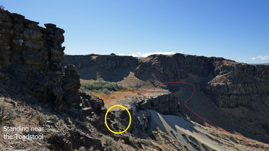
I've crossed over Point 1086 in the left foreground and looking over at how I got up on this plateau... I crossed over 1086 to get where I'm standing because I didn't like the loose terrain highlighted by the yellow circle.
|
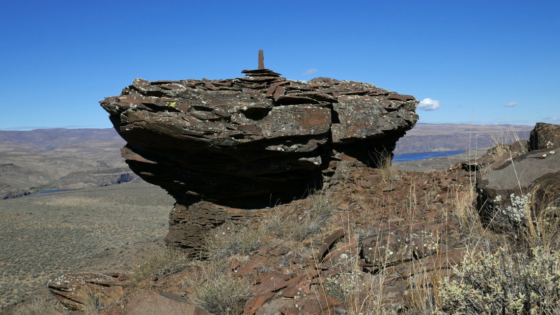
The toadstool... okay, I built the little spire on top!... looking beyond Babcock Bench to the Columbia River.
|
Island Plateau is flat as a pancake... I'll hike east along its rim and see if I can find a good way to get up on the higher plateau... Point 1086 is in the right foreground... Echo Basin is below on the left... with the Sunshine Wall on the left horizon.
|
Hiking along the rim of Island Plateau... looking down on Babcock Bench.
|
|
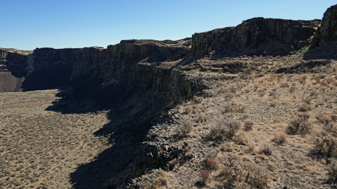
Still hiking along the rim of Island Plateau... looking down into Echo Basin and over to the Sunshine Wall on the left.
|
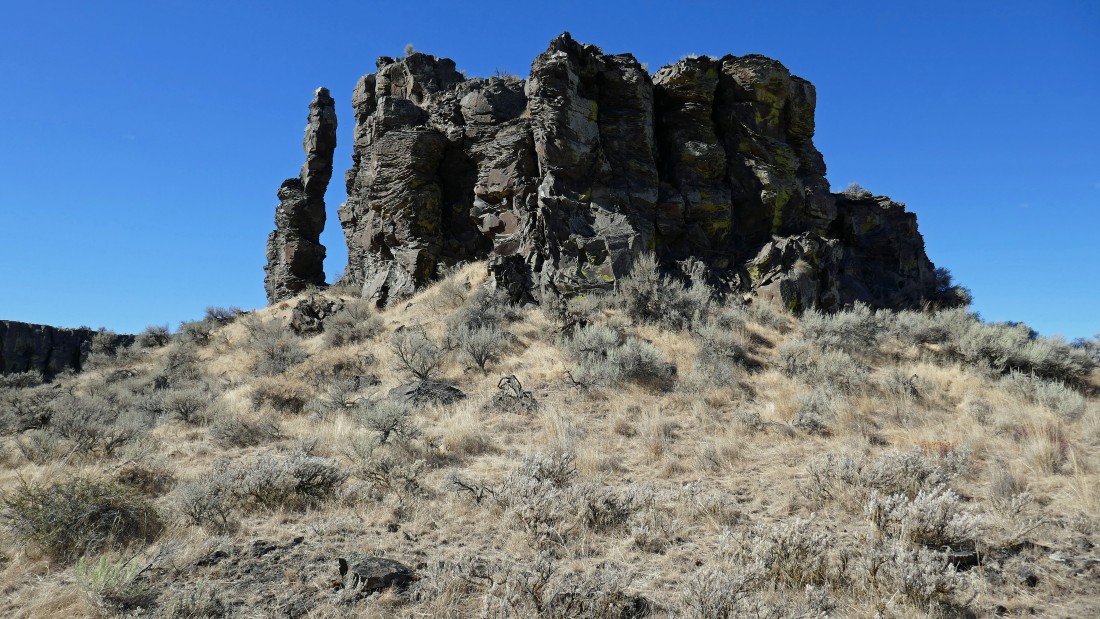
An interesting rock formation on Island Plateau.
|
Still hiking along the rim of Island Plateau... I think I see a path on the far right that will take me up to the next plateau.
|
On Island Plateau... and heading for the line of weakness in the center of the photo.
|
On the highest plateau now... looking down at Island Plateau, Echo Basin and across Babcock Bench to the Columbia River... with Whiskey Dick Mountain on the horizon.
|
Hiking east along the rim of the highest plateau... looks like an interesting pit up at the east end of Echo Basin.
|

Looking back to the west at the route I would have used to get where I'm standing now if I had chosen to skip the Island Plateau.
|
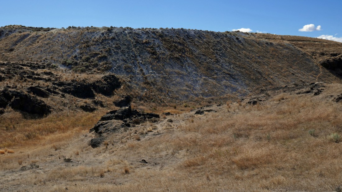
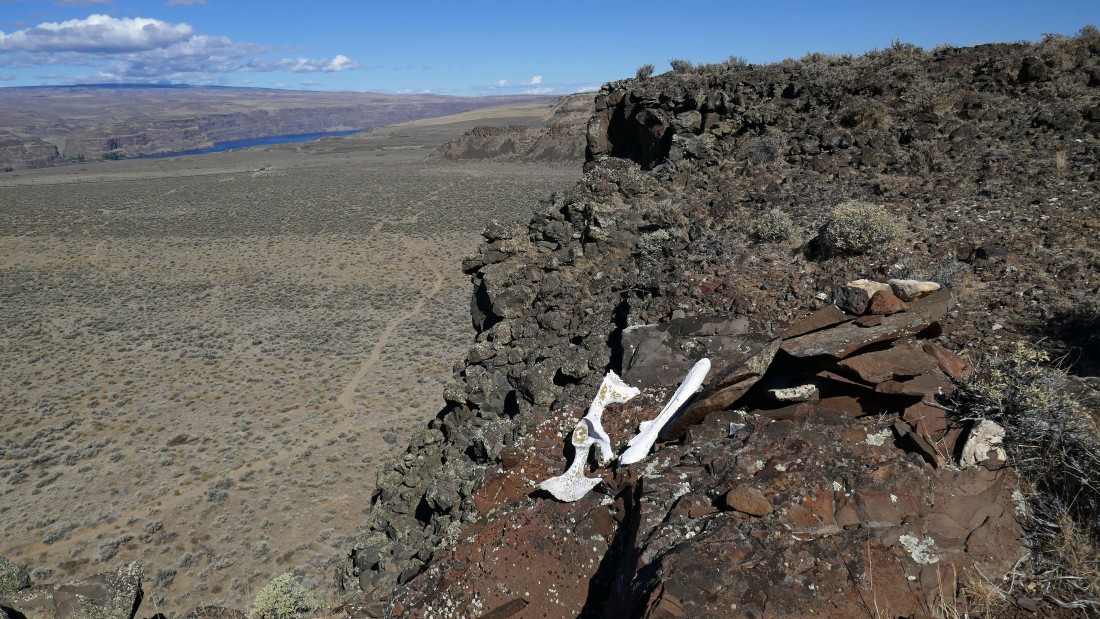
Evidence of Diatomite mining in the area.
|
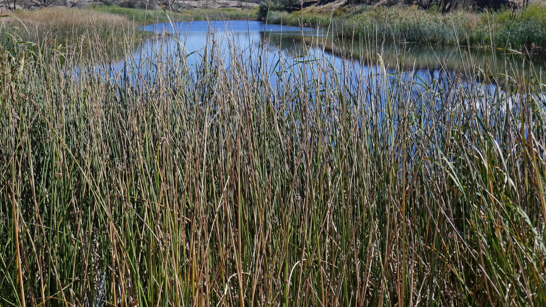
A lakelet.
|
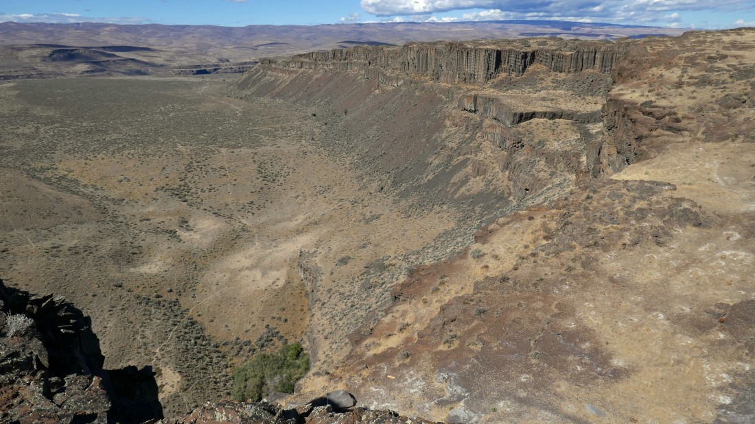
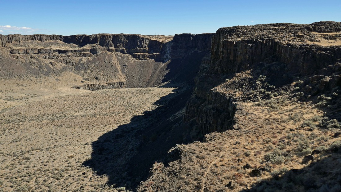
I'm on the highest plateau... above the east end of Echo Basin looking down at the crater below... referred to by locals as the Punch Bowl... the Sunshine Wall is on the right... I will continue along the rim and see if I can see any climbers on the wall.
|
|
A broader view of Echo Basin than in the last photo.
|
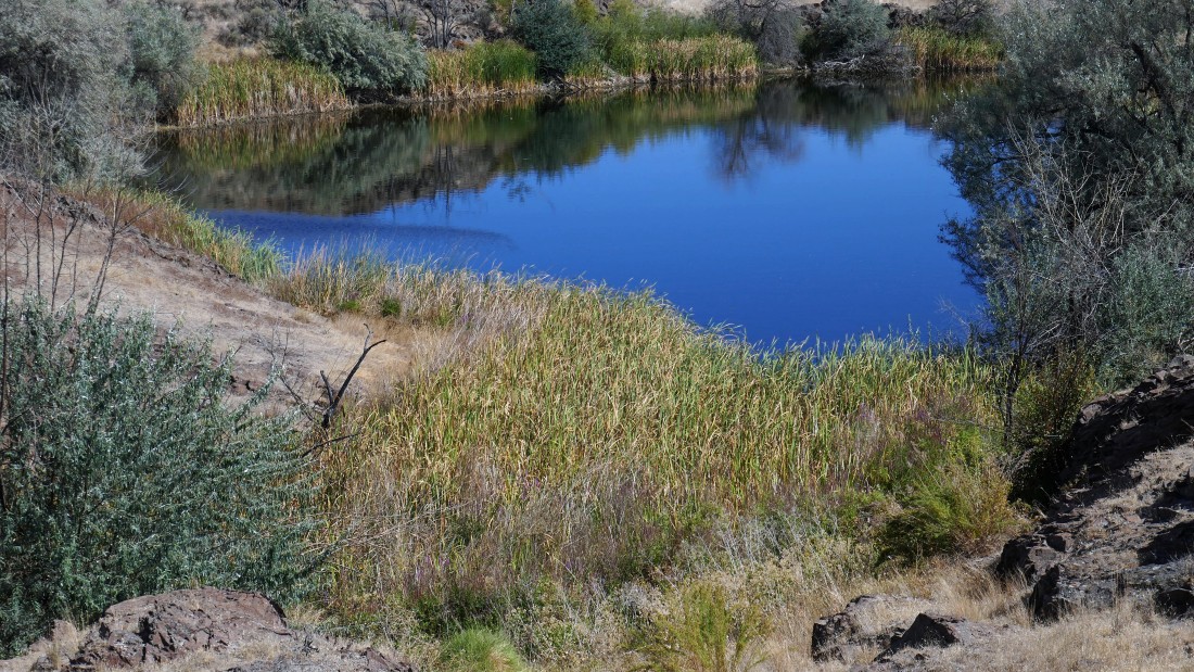
Another lakelet.
|
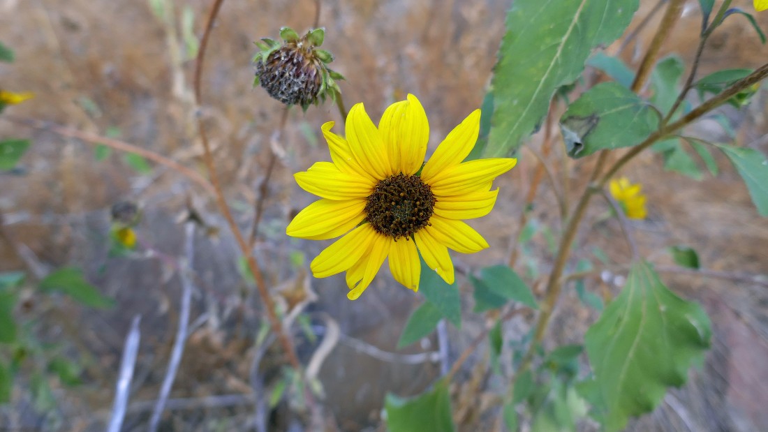
Sunflower.
|
Looking down Echo Basin... still hiking along the rim... a nice viewpoint up there on the right.
|

Looking over at the Sunshine Wall.
|
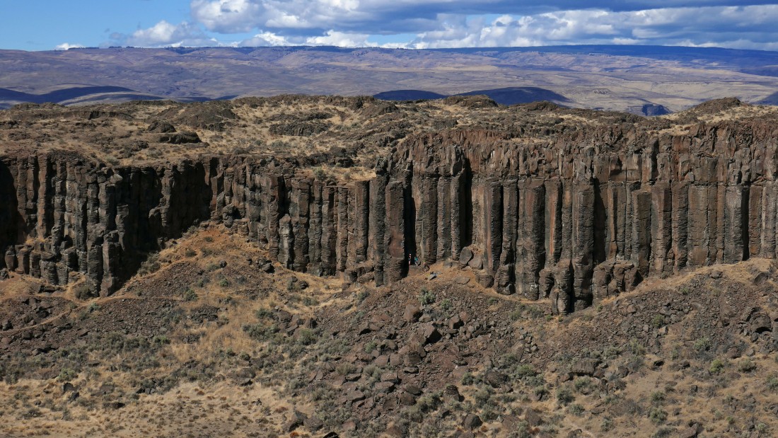
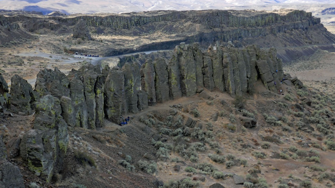
A closer look at the basalt columns on the Sunshine Wall... I see 3 climbers getting ready to climb.
|
Looking down Echo Basin to Island Plateau... and to Whiskey Dick Mountain beyond.
|
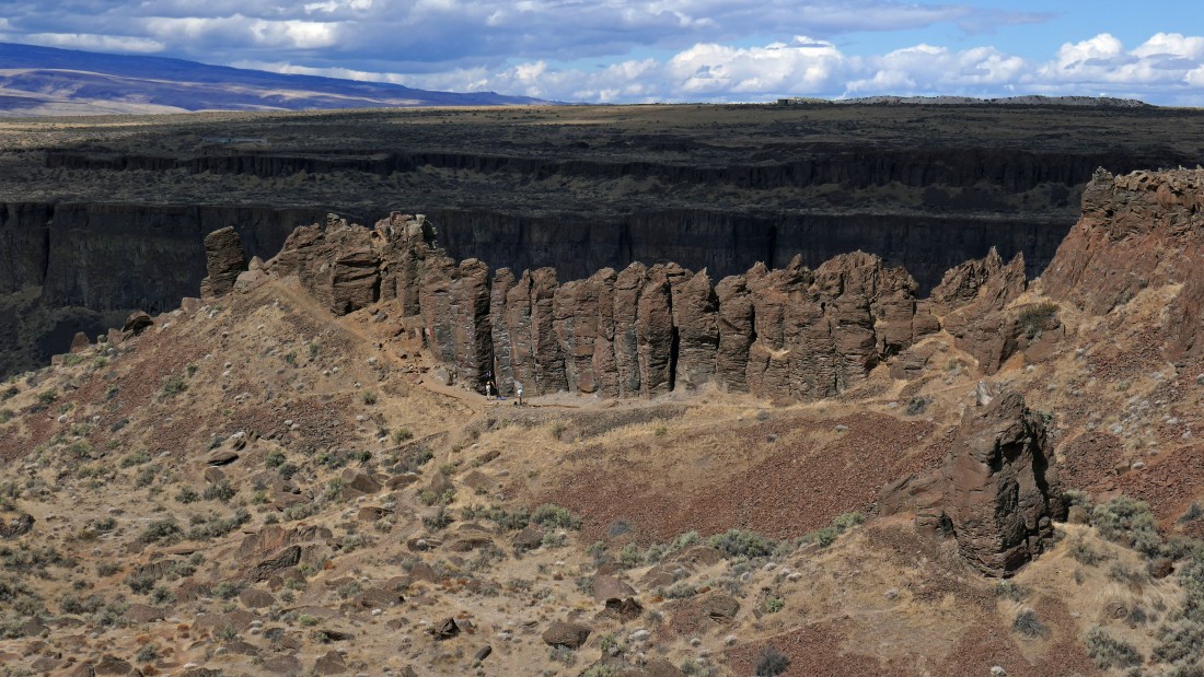
Continuing along the rim over to a look at the south side of the Feathers... another popular sport climbing spot in the Frenchman Coulee area.
|
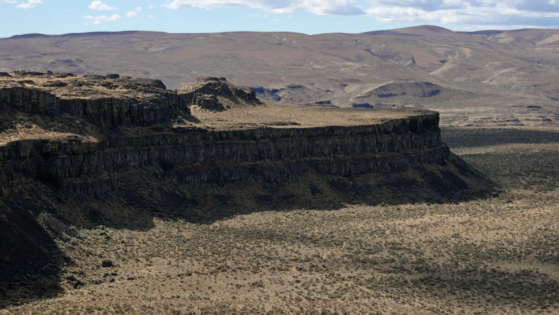
Looking down Frenchman Coulee from above.
|

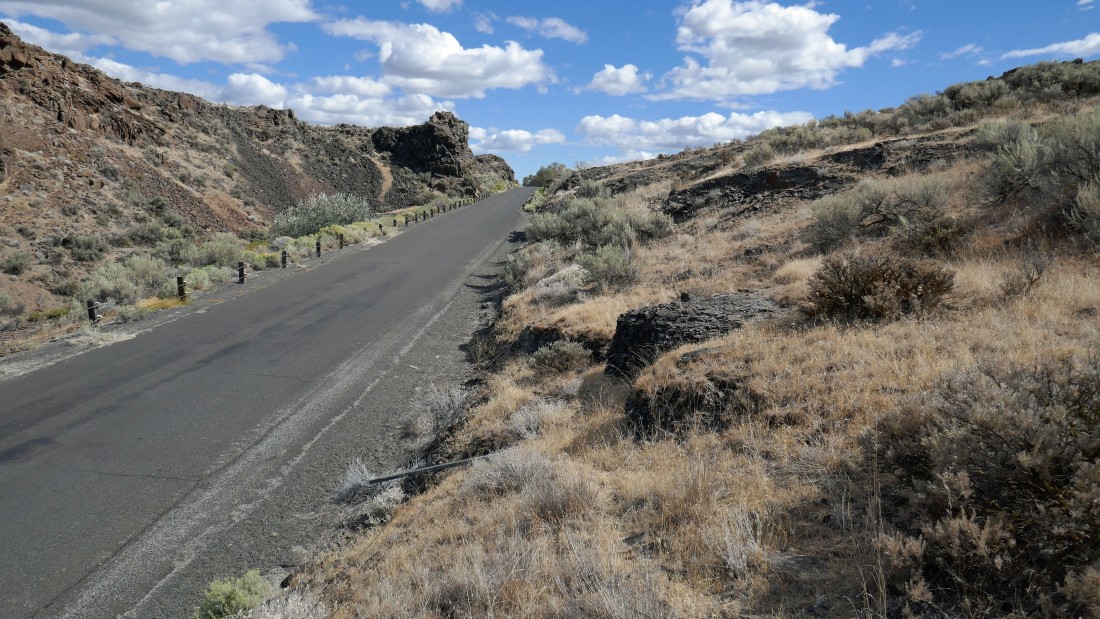
Standing on the rim directly above the Feathers... with the Old Vantage Highway winding down along the south side of Frenchman Coulee to Babcock Bench.
|
The north side of the Feathers.
|
Continuing east on the highest plateau... I can see the waterfall on the far left that I saw when I started my hike... and the abandoned road that I used to get down to the floor of Frenchman Coulee.
|
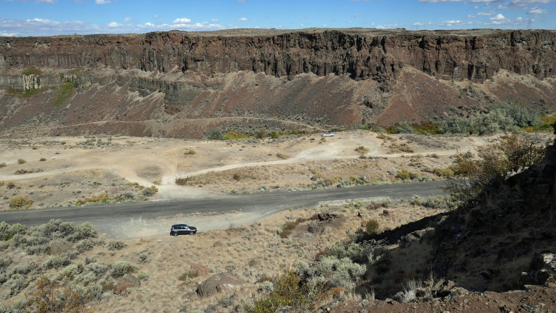
Still hiking east along the rim... I can see my car below, but will look for an easier route down to the road.
|
Getting closer and closer to the road as I continue hiking east.
|

On the road with an eighth-of-a-mile walk back down to my car... when I got back to the car I could see a reasonable route that would have got me directly down to the car... oh well, next time... my loop hike was 8.1 miles, gaining 1404 feet of elevation.
|
