Bulls Tooth, Lemool Mtn and Doughgob Mtn - 9.19.2018
|
A google earth look at our 3 day backpack trip to do Lemool Mtn, Bulls Tooth and Doughgob Mtn in the Chain Lakes area of the Alpine Lakes Wilderness.
|
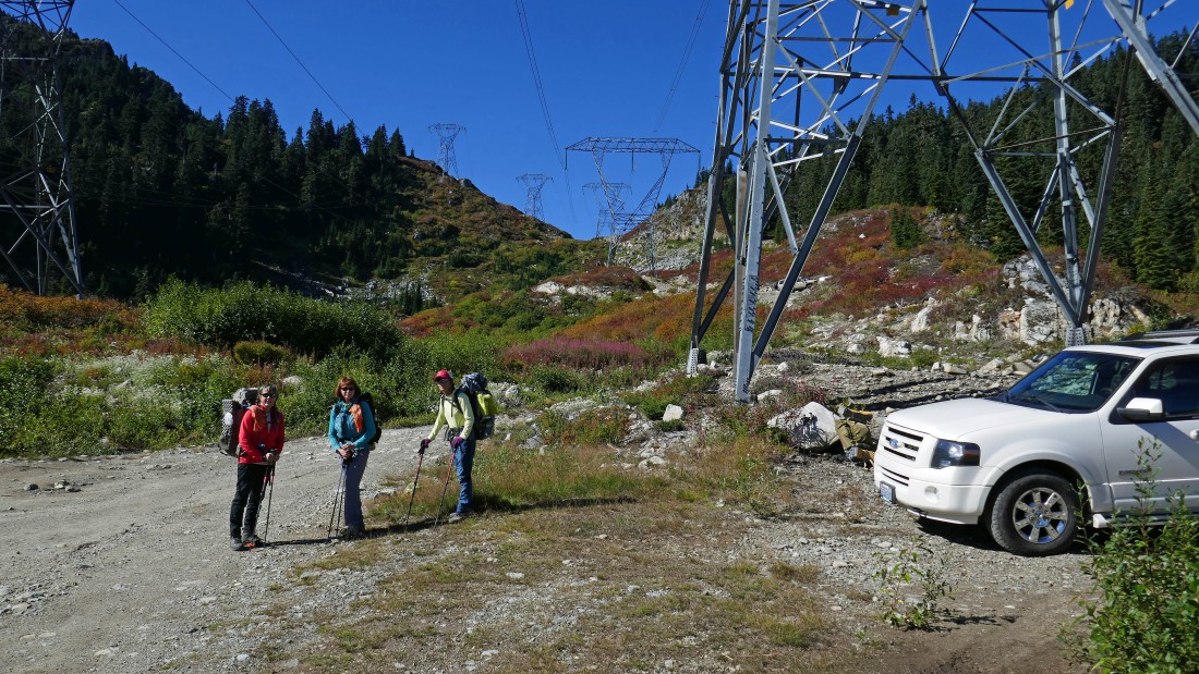
We drove to the Stevens Pass Nordic Center and continued driving up Mill Creek Road for 5.6 miles... where we parked (~4630') underneath the powerlines near the spot where the PCT crosses the road. Note that the last quarter mile of our drive was on really rugged road... where a high clearance vehicle is required.
|
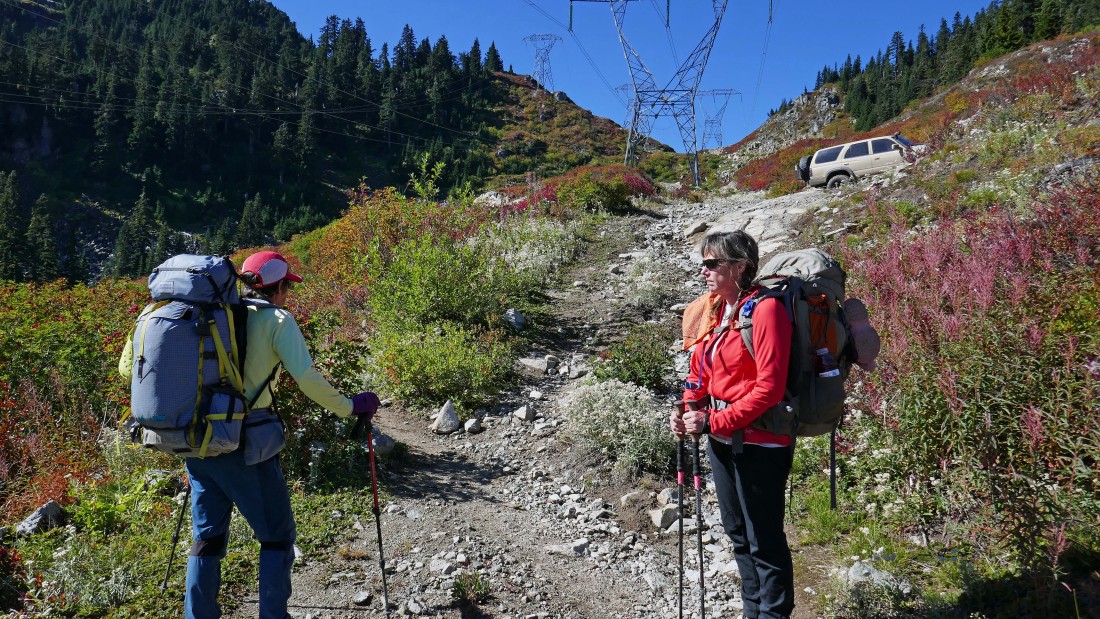
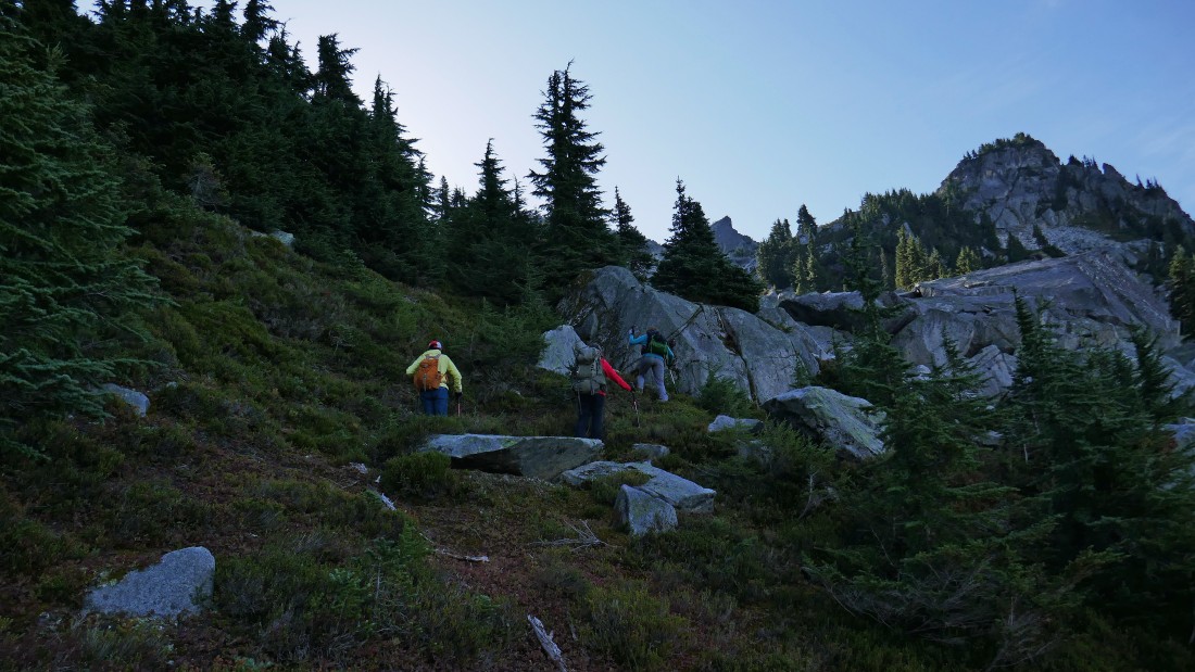
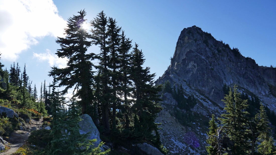
We found the 'unsigned' PCT a short distance above where we parked and started hiking south on it.
|
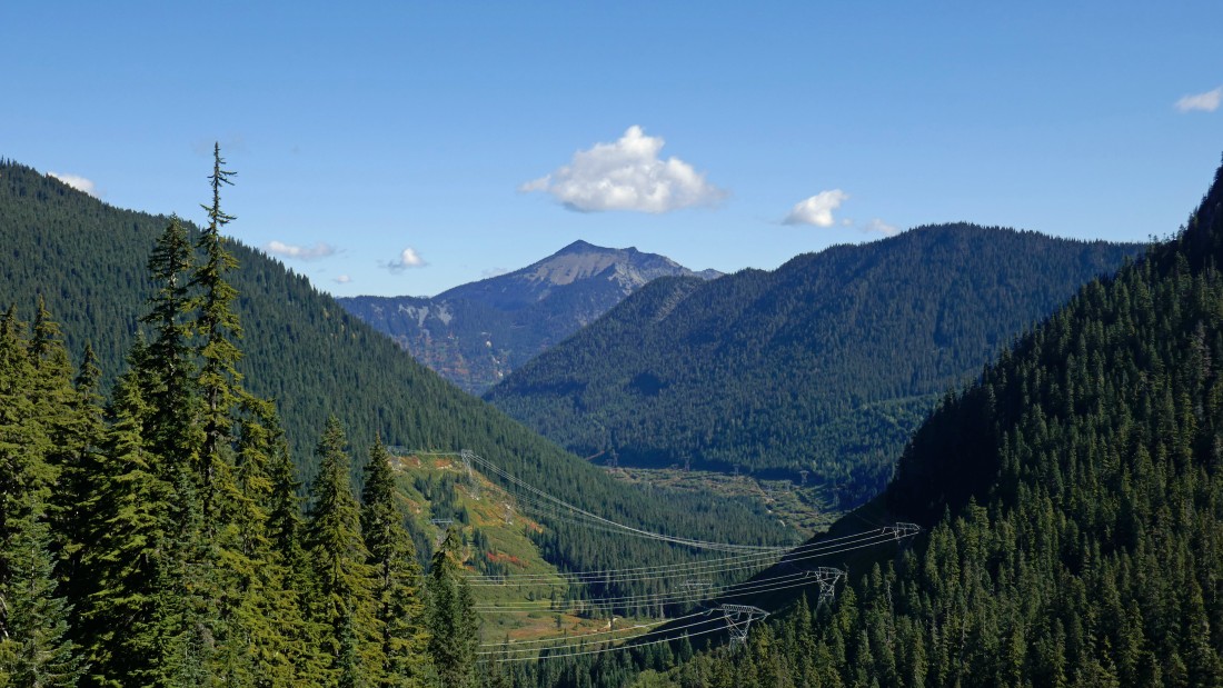
Heading south on the PCT... here looking down Mill Creek Valley that we just drove up... Rock Mountain is in the distance on the other side of Highway 2.
|
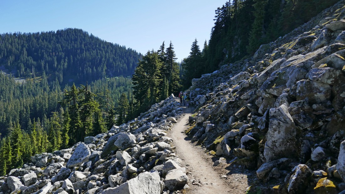
Continuing south on a well maintained PCT.
|
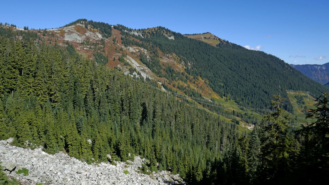
Continuing south on the PCT... here looking back at the back side of the Stevens Pass Ski Area... Big Chief Mountain is the bump on the right.
|
Passing by Lake Susan Jane and looking up at Lumiere Ridge as we continue south on the PCT.
|
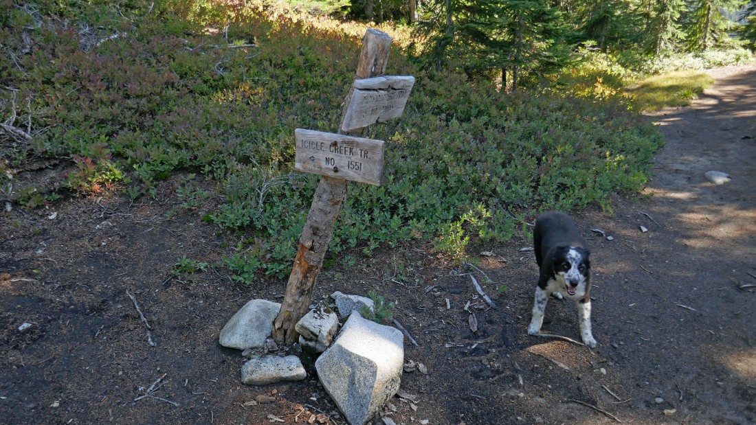
Izzy waits for us where the PCT junctions with Icicle Creek Trail #1551 above Josephine Lake... we will take the Icicle Creek Trail.
|
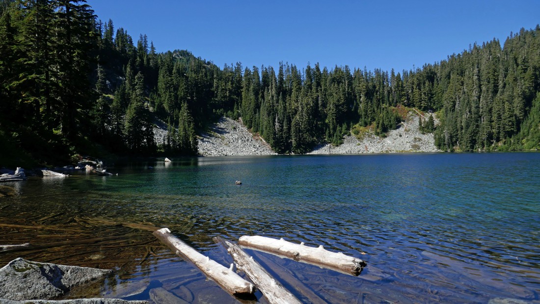
After hiking a total of 2.4 miles we have reached the mouth (4681') of Josephine Lake... the lake is the headwaters of Icicle Creek.
|
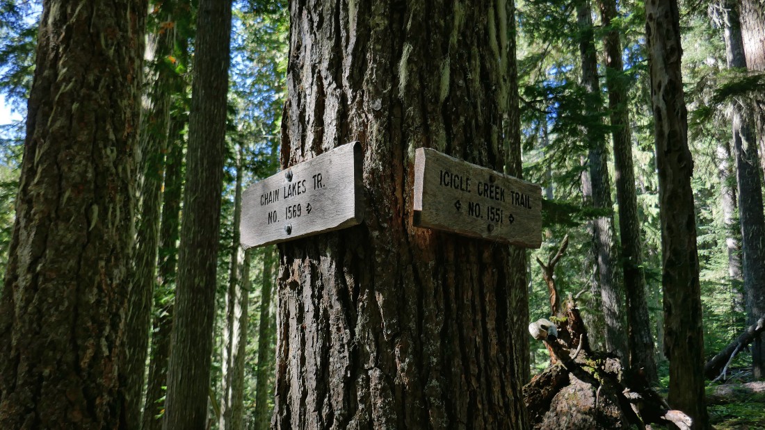
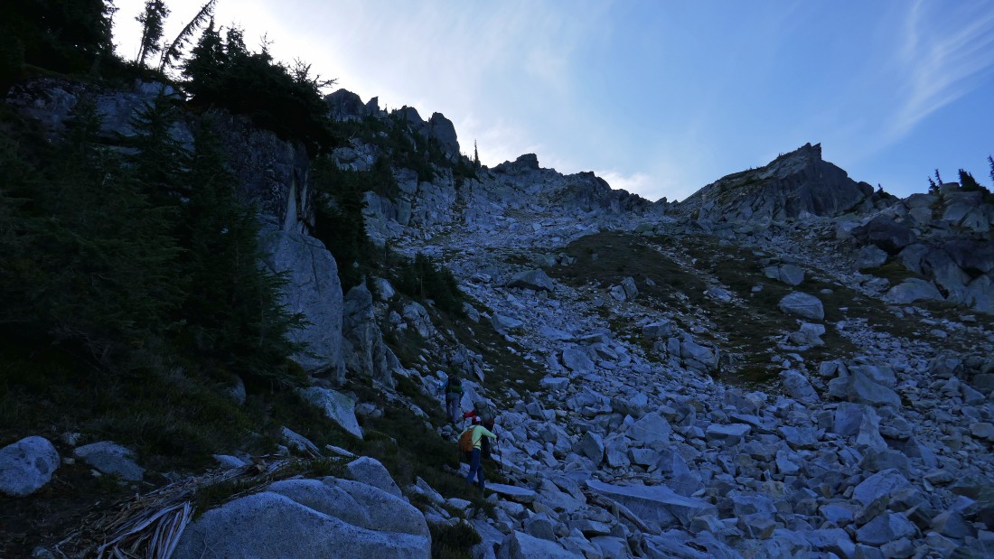
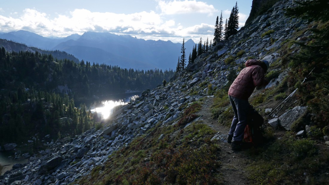
After hiking a total of 4.9 miles we will leave the Icicle Creek Trail (~3800') and head steeply uphill on the Chain Lakes Trail #1569... we have given up ~900 feet of elevation since leaving Josephine Lake.
|
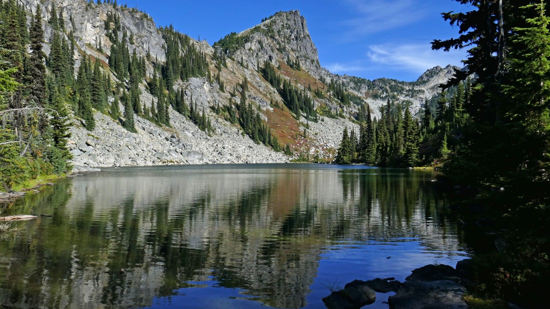
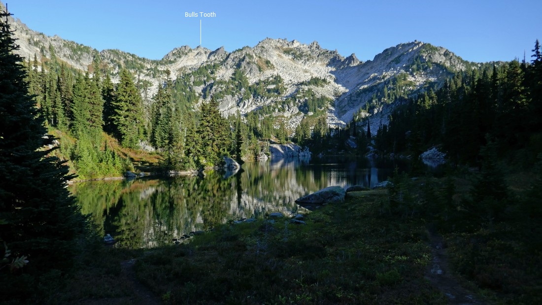
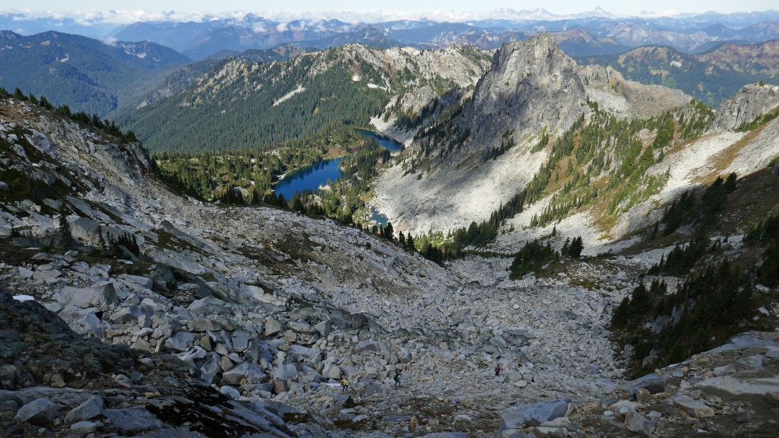
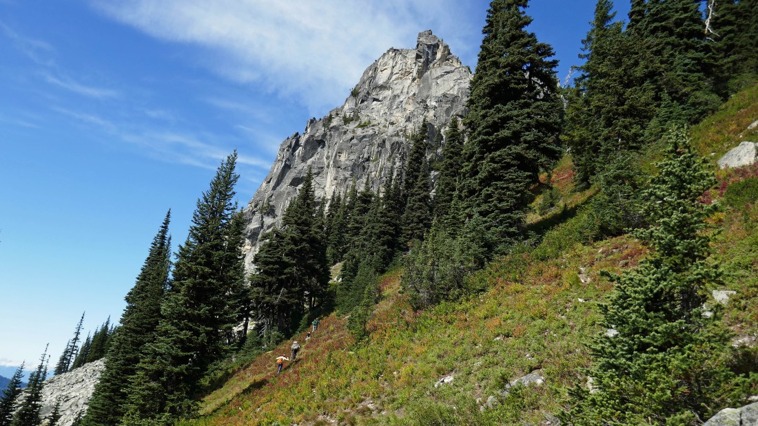
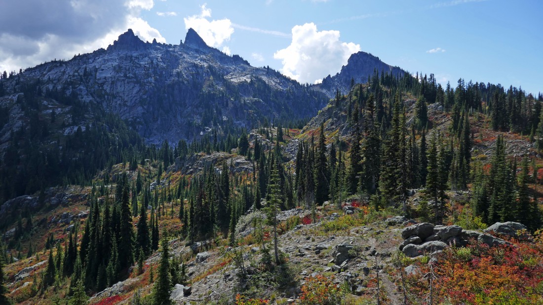
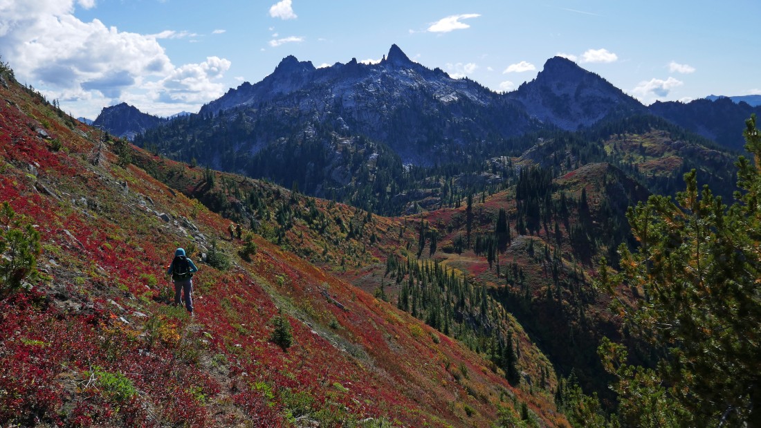
After hiking a total of 7 miles we have reached the lower Chain Lake (5628')... Chain Lakes Peak looks down on us from above... Bulls Tooth is visible at the top of the photo on the far right... we will leave our backpacks here and backtrack a short distance to head cross-country up to the summit of Lemool Mtn.
|
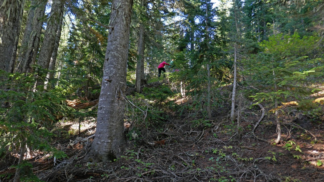
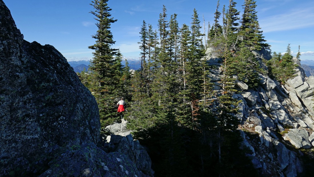
Heading cross-country above the lower Chain Lake on our way to the summit of Lemool Mtn.
|
Heading for the summit of Lemool Mtn up there in the center of the photo.
|
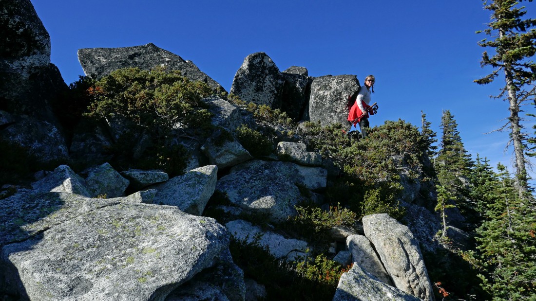
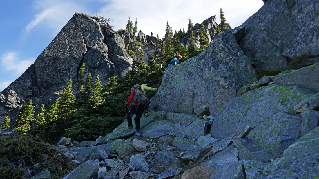
Working around some rock formations near the Lemool summit.
|
Snowdog makes a dash for the summit of Lemool Mountain.
|
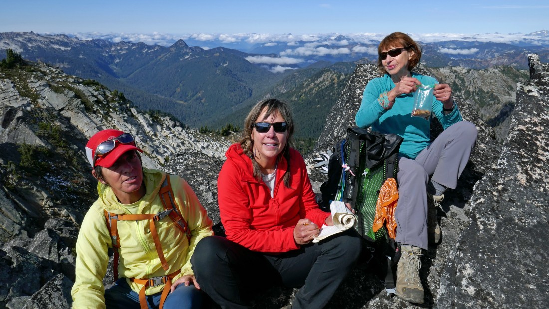
After hiking a half-mile from lower Chain Lake we have reached the summit (6284') of Lemool Mountain... the Chiwaukum Mountains are on the left horizon... with the Chain Lakes below.
|
On the summit of Lemool Mountain... peak identification looking northeast (left) to southeast (right).
|

On the summit of Lemool Mountain... peak identification looking northwest.
|
Looking north to Jim Hill Mountain in the foreground... with Mt. Howard and Mt. Mastiff beyond the ridge on the right.
|
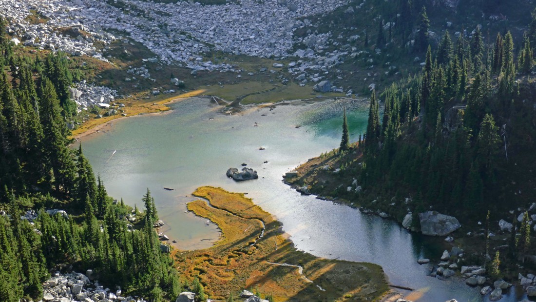
We have returned from the Lemool summit, picked up our backpacks and hiked to the mouth of the middle Chain Lake... we will follow the trail along the east side of the lake and set up camp (~5700') near the far end of the lake after hiking a total of 8.6 miles... if we had skipped doing Lemool we would have set up camp after hiking a total of 7.6 miles.
|

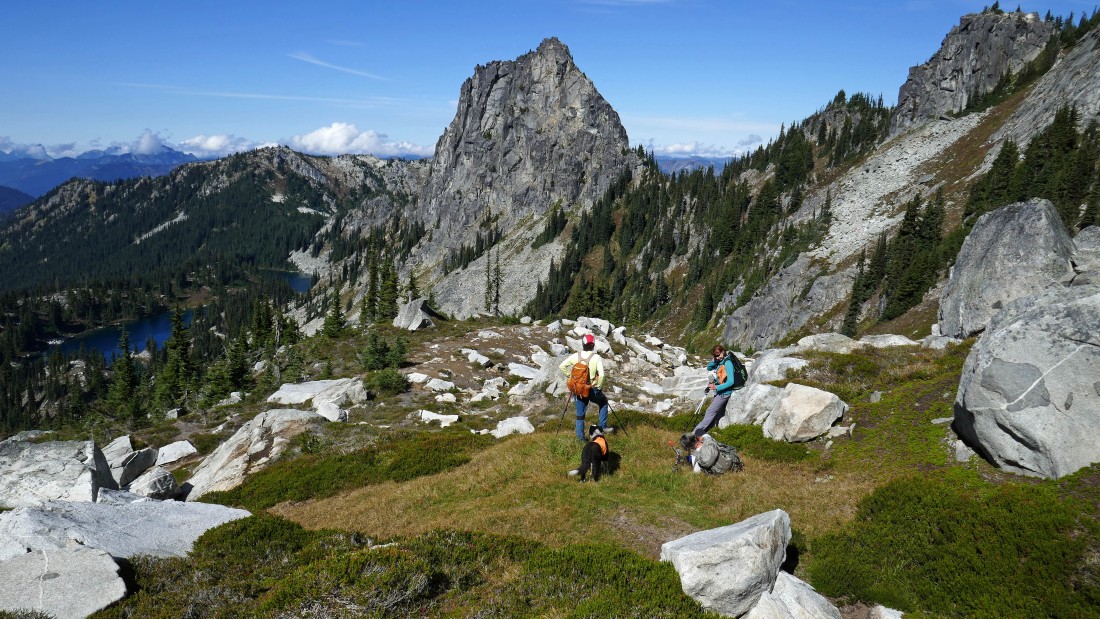
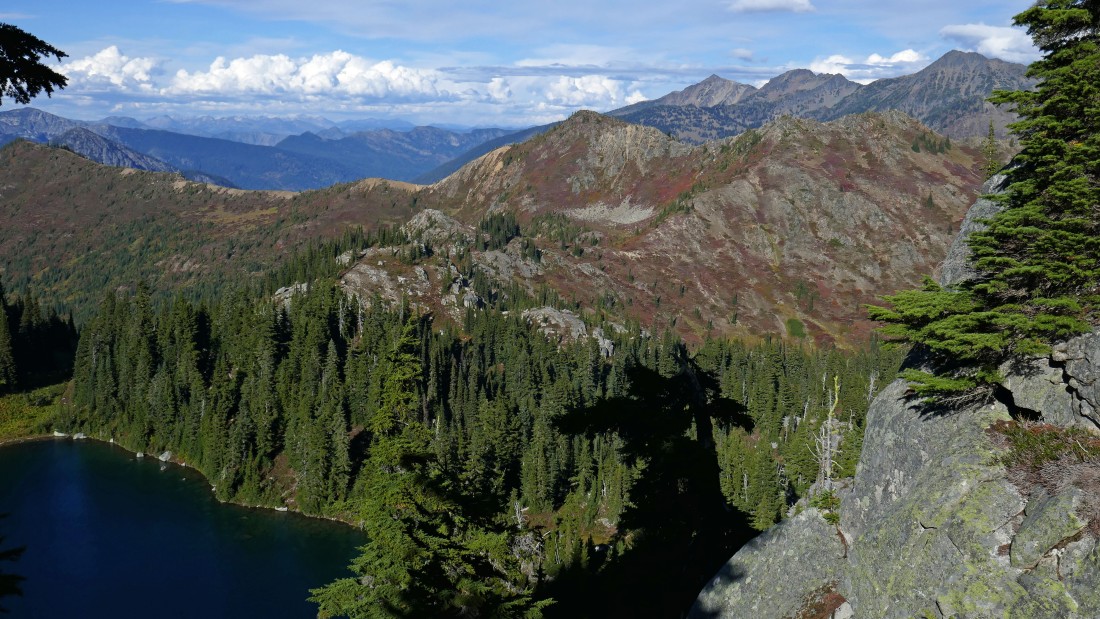
Day 2... our base camp is on the far right in the photo... Lemool Mountain is in the distance (center of the photo)... we are following a good path between the middle Chain Lake and the third Chain Lake... on our way to Bulls Tooth.
|
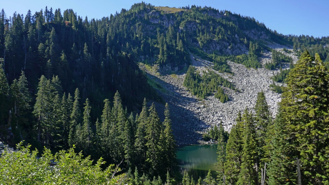
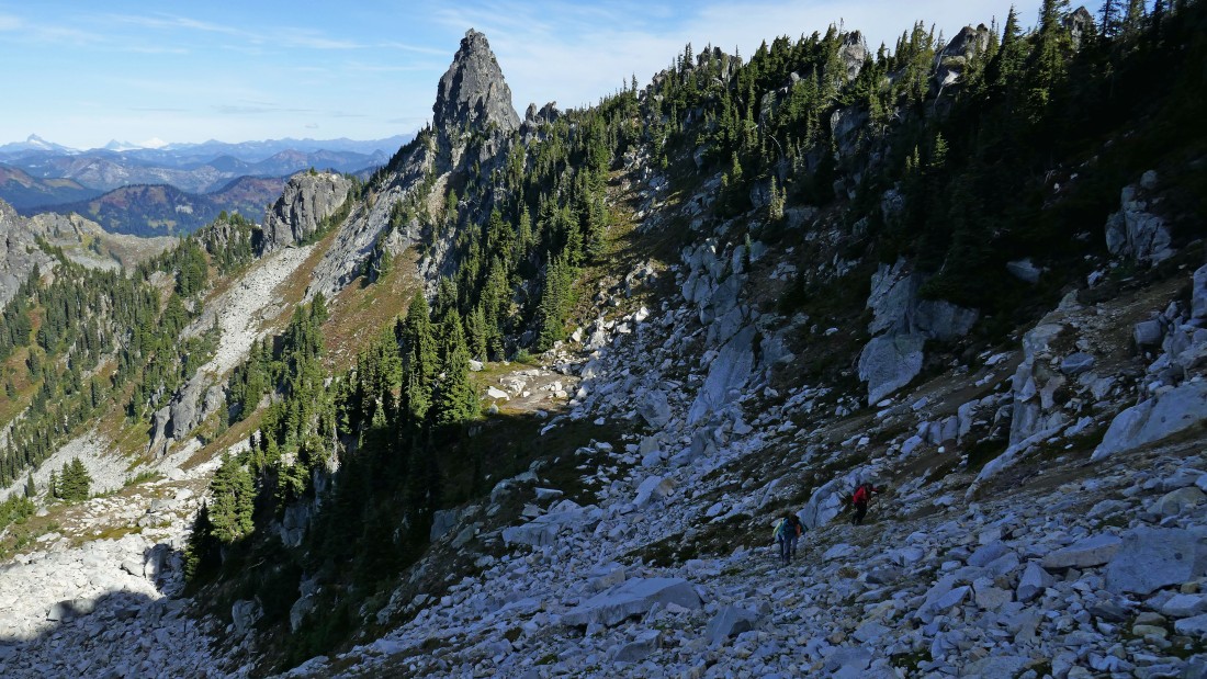
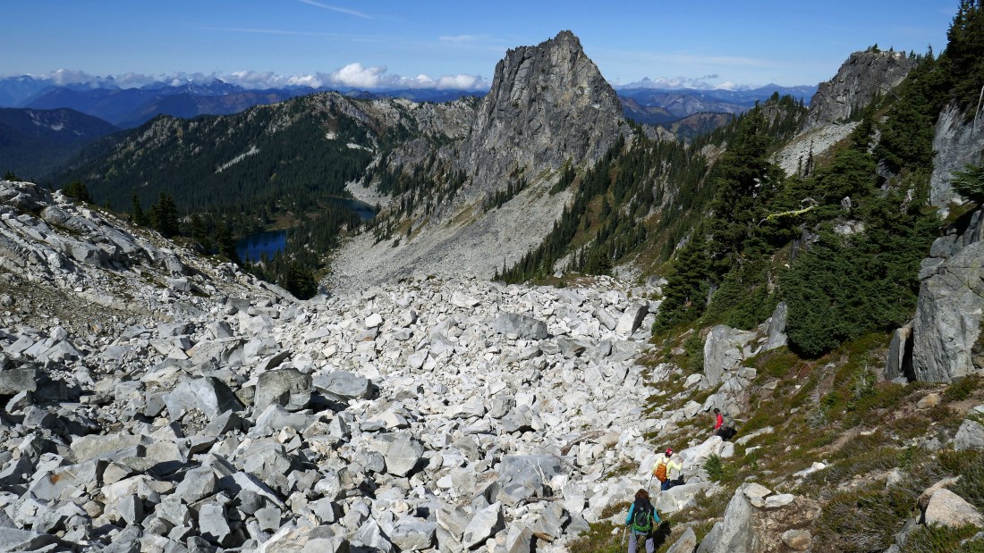
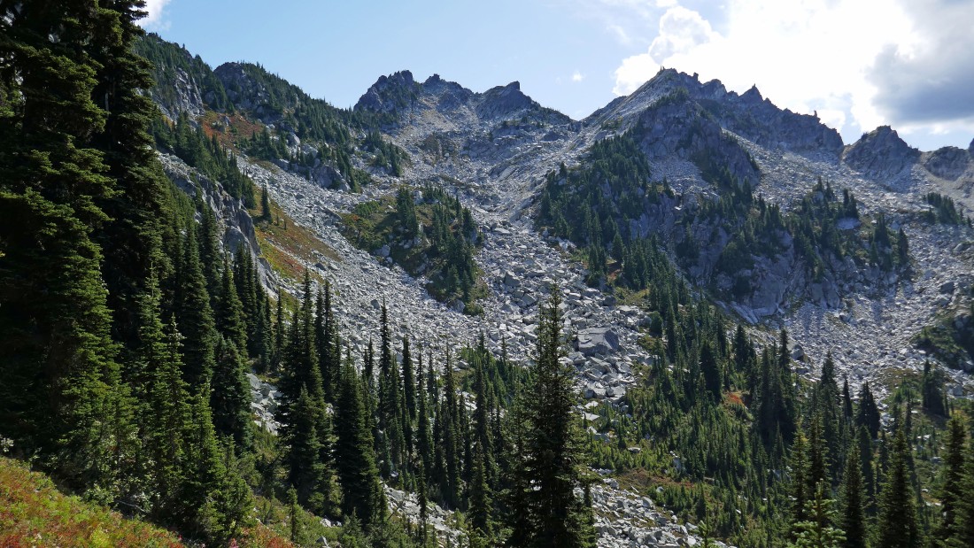
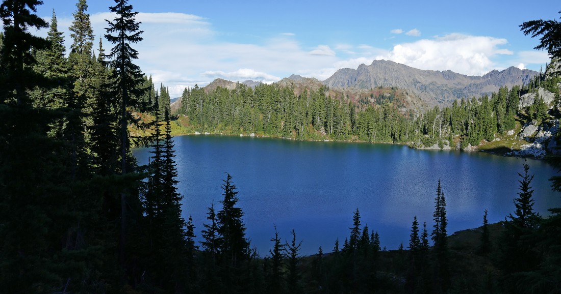
Chain Lakes Peak (Point 6604) from the west shoreline of the third Chain Lake.
|
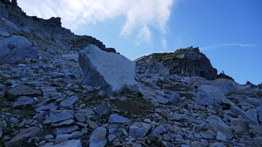
Gaining elevation on a path above the third Chain Lake... heading for Bulls Tooth.
|

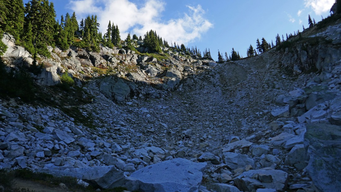
Izzy leads us up a boulder field... heading for the summit of Bulls Tooth... barely visible up on the right.
|

Continuing up... trying to get off of the boulders and make life a little easier.
|

Steep but doable.
|

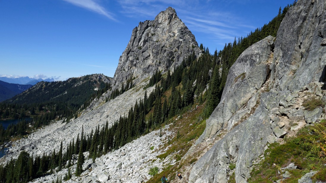
Above the lakes and heading for Bulls Tooth... looking back at Chain Lakes Peak in the right foreground... with Lemool Mountain beyond to the left of Chain Lakes Peak.
|
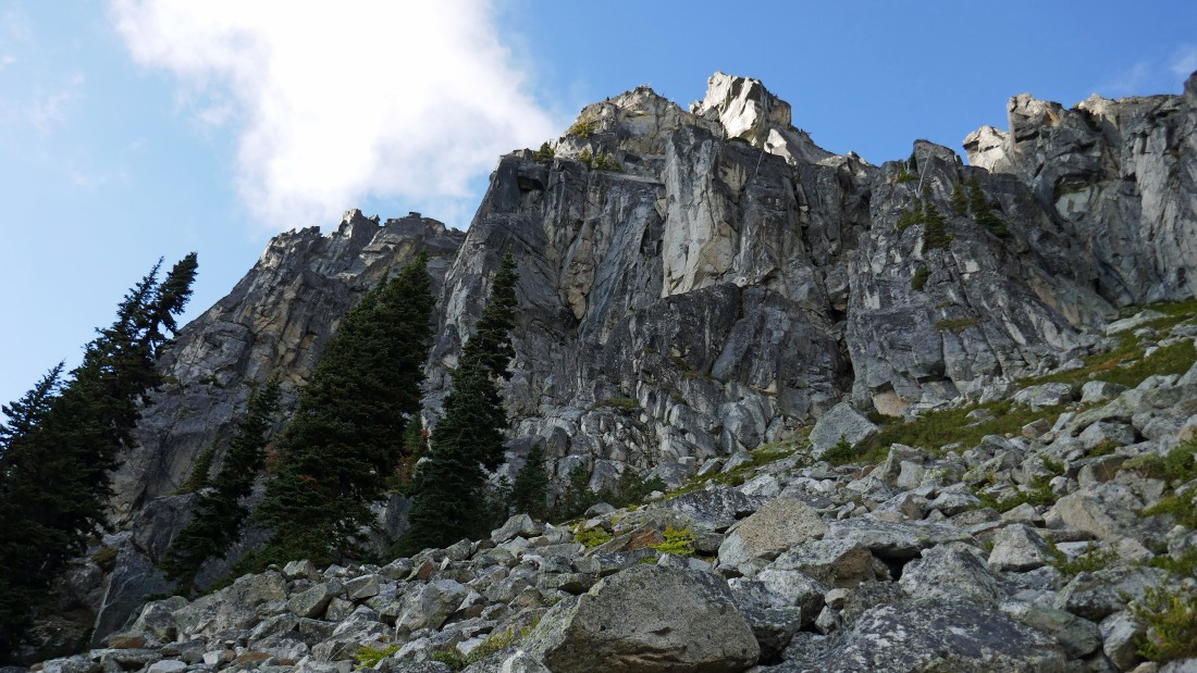
Continuing up toward the summit of Bulls Tooth... the benchmark is on the right... but the summit is directly above.
|
Looking back to the northwest as we gain elevation... high enough now to see all three of the Chain Lakes.
|
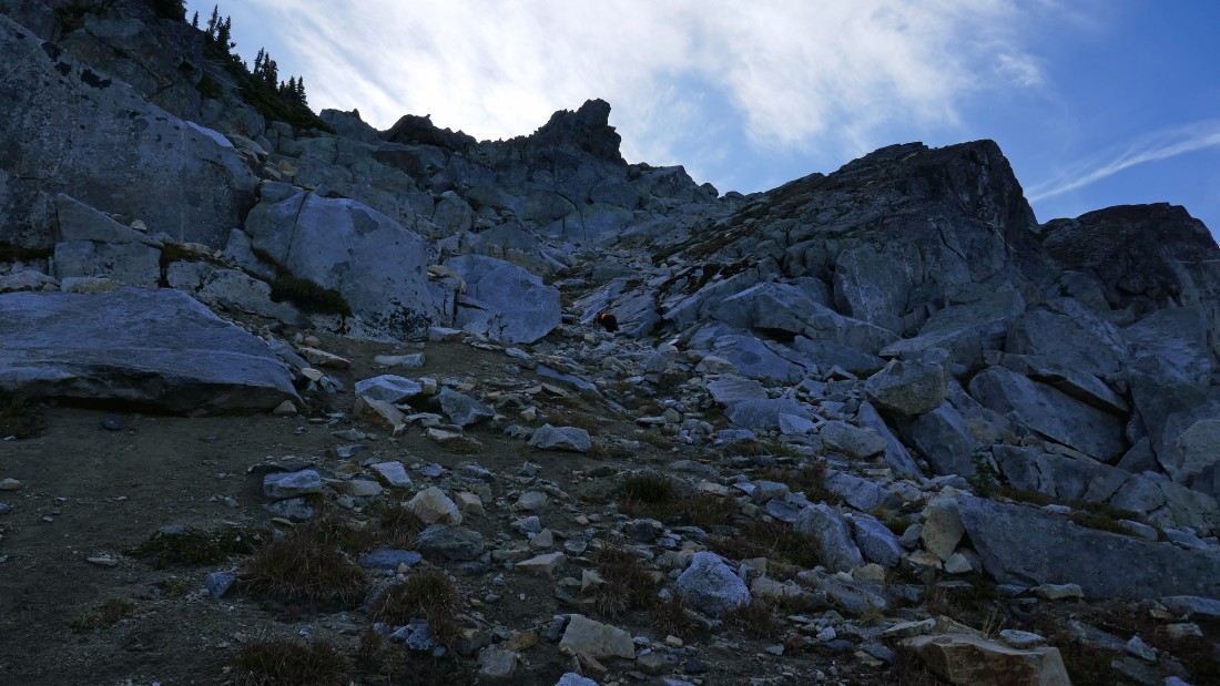
Up and up.
|
The Bulls Tooth summit (6840') is above on the left... the benchmark (6807') is on the right.
|
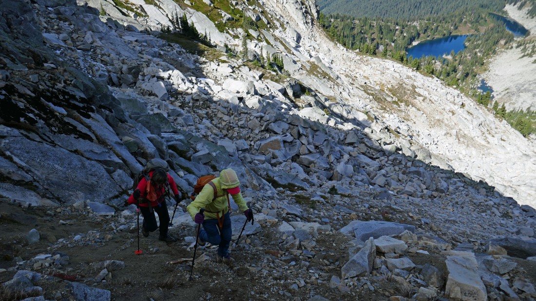
Are we there yet?... no, but almost.
|
Izzy leads us toward the Bulls Tooth summit.
|
Getting closer.
|
Working our way up the north side of the summit block.
|

On the north side of the Bulls Tooth summit block... BarbE is in the spotlight.
|

Class 2 scrambling on the north side of the Bulls Tooth summit block.
|

BarbE on the summit (6840') of Bulls Tooth.
|

I was there too... I can guarantee you that my left knee and right thigh are super glued to the summit boulder.
|
Signing the Bulls Tooth summit register.
|
|
On the Bulls Tooth summit... looking east to the Chiwaukum Mountains and southeast to the Stuart Range.
|
On the Bulls Tooth summit... looking southeast toward Aasgard Pass and Stuart... and southwest toward Daniel and the Thunder Mountain area.
|
On the Bulls Tooth summit... looking southwest (left) to northwest (right).
|
On the summit of Bulls Tooth... looking northwest (left) to northeast (right)... note my reference to 'Big Jim'... that is really 'Jim Hill Mountain'.
|

Time to get off of the Bulls Tooth summit and go find Doughgob Mountain.
|
Off of the Bulls Tooth summit block and more or less tracing our steps back down.
|
Heading down and looking over at the Bulls Tooth benchmark.
|
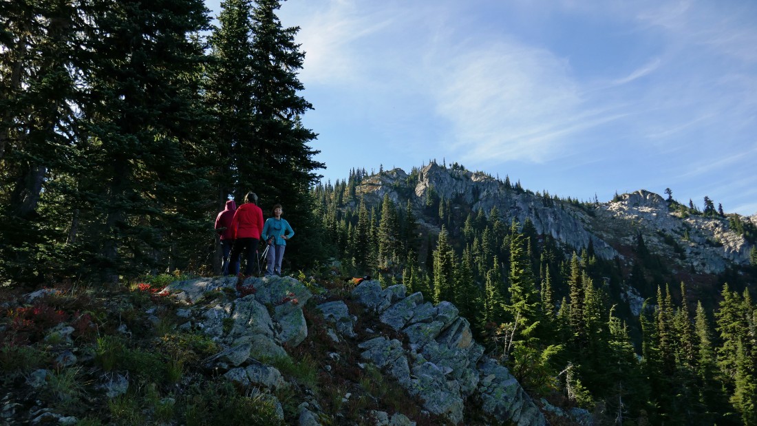
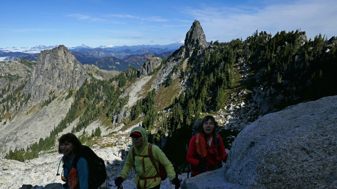
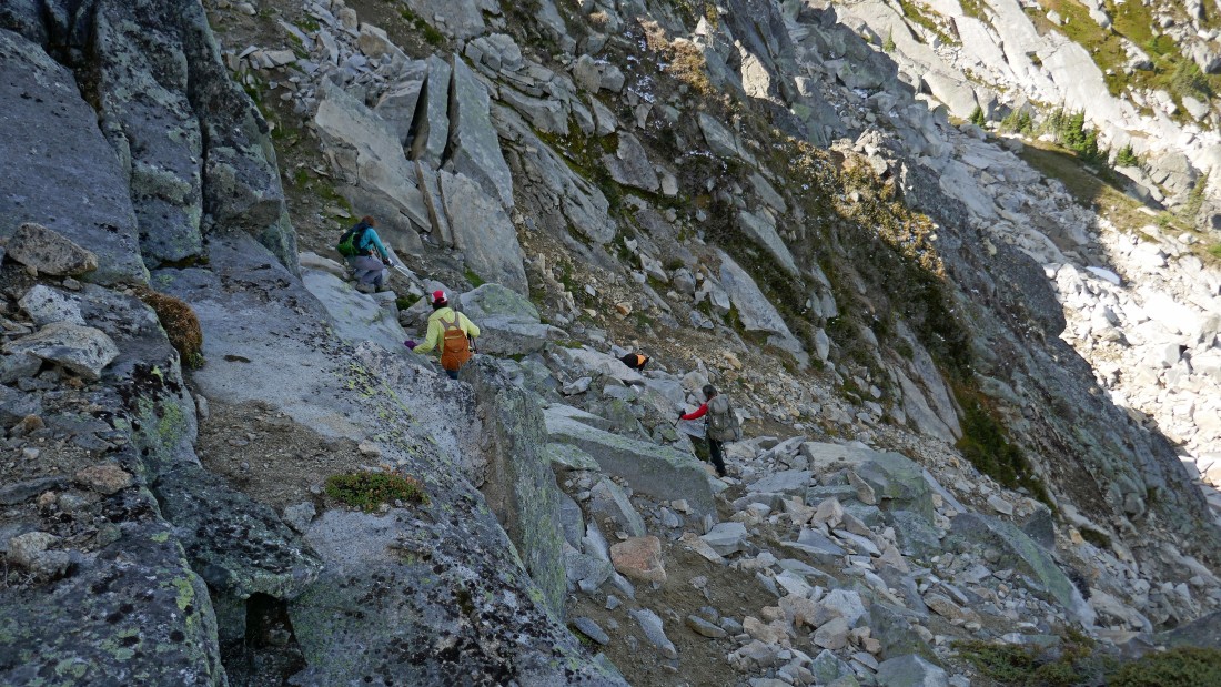
Heading down from Bulls Tooth... the ladies are in the bottom of the photo.
|
We are heading for a 6200 foot pass to the right of Chain Lakes Peak.
|
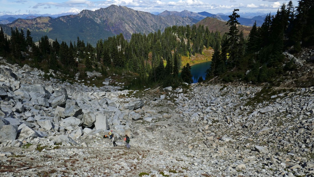
Taking a break on our way over to the 6200 foot pass that separates the Chain Lakes from the Doelle Lakes... look hard and you might see the Chain Lakes Trail cutting across the boulder field below Chain Lakes Peak.
|
BarbE and Izzy got us around a rock buttress... now we will trend upward over to the 6200 foot pass above.
|
Very close now to joining the Chain Lakes Trail that will take us up and over the 6200 foot pass on the east side of Chain Lakes Peak.
|
Nearing the 6200 foot pass and looking back at Bulls Tooth.
|
At the 6200 foot pass... looking down on the upper Doelle Lake and on over to our next objective... Doughgob Mountain... note my reference to 'Big Jim'... that is really 'Jim Hill Mountain'.
|
Going down toward upper Doelle Lake on an obvious path that shortcuts most of the Chain Lakes Trail that switchbacks its way down through vegetation over on the right side of the photo.
|
|
At the mouth of the upper Doelle Lake... looking back to the right at Chain Lakes Peak and the 6200 foot pass that we crossed over to get here.
|
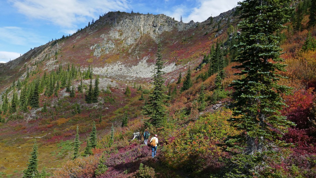
We have passed by upper Doelle Lake... taking a high route above the lower lake and heading for a 5700 foot saddle that will provide an entry way to Doughgob Mountain out there in the sunshine on the far left.
|

Working our way over to the 5700 foot saddle.
|
Looking back toward the Doelle Lakes (not visible) and the 6200 foot pass that we crossed over on our way to this 5700 foot saddle.
|
At the 5700 foot saddle... picking and eating blueberries as we follow a faint path that will take us over to Doughgob's north ridge on the left.
|

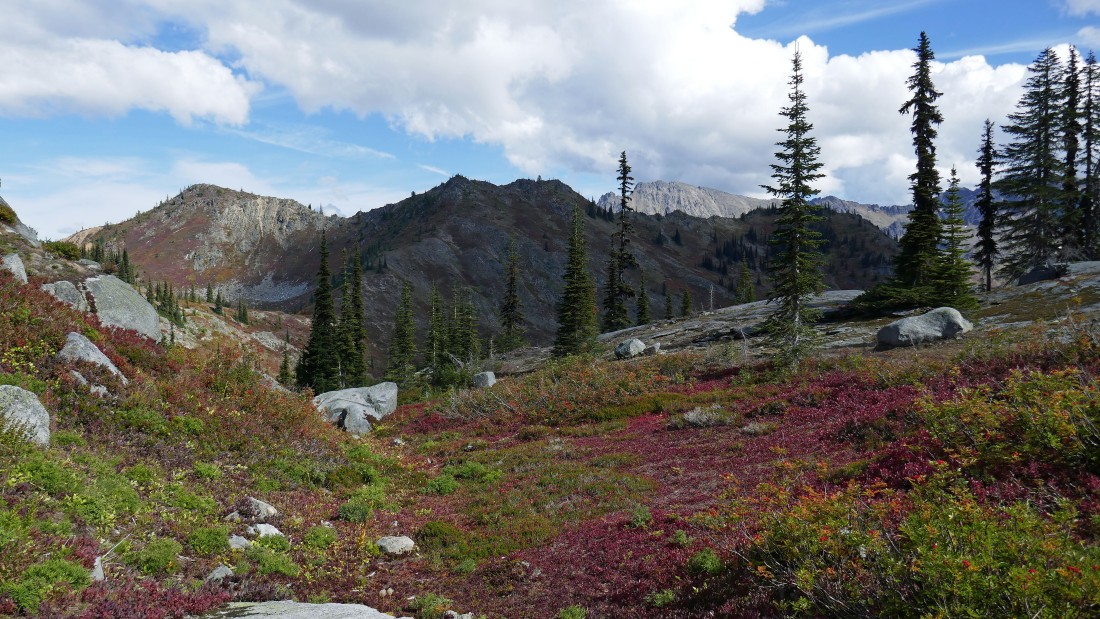
Uh... autumn is definitely here... Chain Lakes Peak and the 6200 foot pass are up above in the center of the photo.
|

Following the faint path on the west side of Doughgob... heading for Doughgob's north ridge.
|
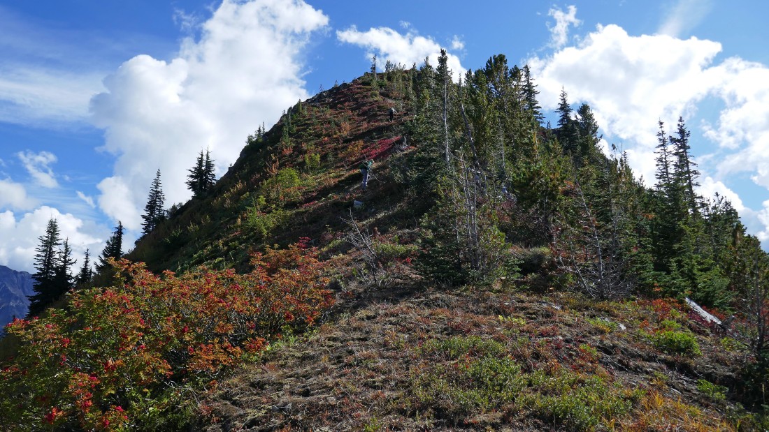
On Doughgob's north ridge... finishing off the last 170 feet of elevation gain to the summit (6172').
|
On the Doughgob summit... looking north (far left) to Rock, Howard and Mastiff... northeast and east to the Chiwaukum Mountains in the center of the photo... and southeast to the Stuart Range in the distance on the far right.
|
On the summit of Doughgob Mountain... with Big Chiwaukum and Snowgrass on the left... the Stuart Range on the horizon in the center of the photo... and the Bulls Tooth group in the right foreground.
|
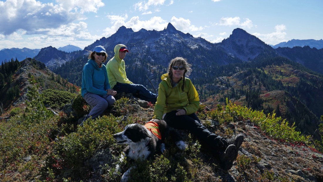
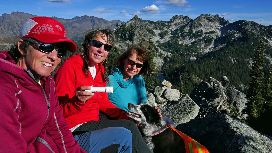
The four ladies on the summit (6172') of Doughgob Mountain... with the Bulls Tooth group behind them.
|

Tracing our steps back down from the Doughgob summit... Jim Hill Mountain in the center foreground.
|
On the faint path on the west side of Doughgob... working our way back to the 5700 foot saddle in the center foreground... with the Bulls Tooth group in the distance.
|
Looking back at Doughgob (left) from the 5700 foot saddle.
|
Back to the upper Doelle Lake... already gaining elevation above the lake and heading for the 6200 foot pass on the east side of Chain Lakes Peak.
|
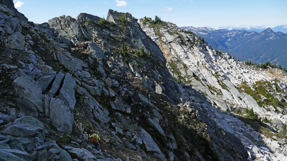
Looking up at the 6200 foot pass on the east side of Chain Lakes Peak... we basically came straight down from the pass on our way down... but we will switchback our way back up to the pass via the Chain Lakes Trail over on the left side of the photo.
|
Gaining elevation on the Chain Lakes Trail on our way back to the 6200 foot pass... looking down on upper Doelle Lake and across to Doughgob Mountain in the center of the photo.
|
Back at the 6200 foot pass on the east side of Chain Lakes Peak.
|
We are back on the Chain Lakes side of the 6200 foot pass... our base camp is down near the glowing middle Chain Lake.
|
Looking down on the upper Chain Lake as we follow the Chain Lakes Trail down along the south side of Chain Lakes Peak.
|
Looking up at Chain Lakes Peak as we continue down the trail on our way back to base camp.
|
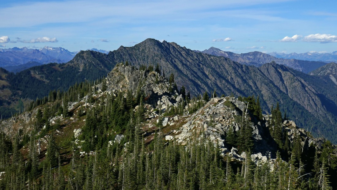
On our way back to base camp... looking back up the Chain Lakes Trail toward the Bulls Tooth summit (center of photo) on the ridge above.
|
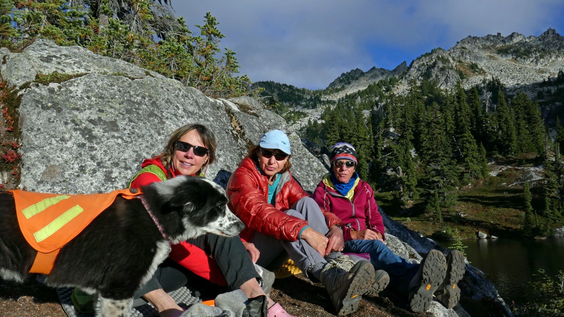
Happy hour on the balcony near our base camp... our day trip to Bulls Tooth and Doughgob Mountain was 5.9 miles roundtrip, gaining 3012 feet of elevation.
|
Day 3... hike from base camp back to the car... here we have hiked 5.2 miles from our base camp back to the mouth of Josephine Lake... leaving a 2.4 mile hike back to the car.
|

We have hiked beyond Josephine Lake and following the PCT down to Lake Susan Jane and then on over to the car which is parked over by the powerlines in the distance... the entire 3 day trip was 22 miles, gaining ~8700 feet of elevation.
|
