Hibox Mountain - 9.25.2018

A google earth look at our route to the summit of Hibox Mountain.
|
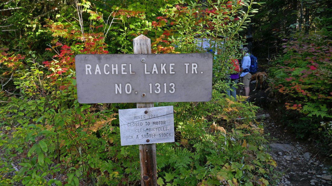
From Highway I-90 take exit 62... then drive Road 49 for approximately 5 miles to the entrance to Kachess Campground... then drive FS-4930 for 3.9 miles to the parking area (~2780') for Rachel Lake Trail #1313.
|
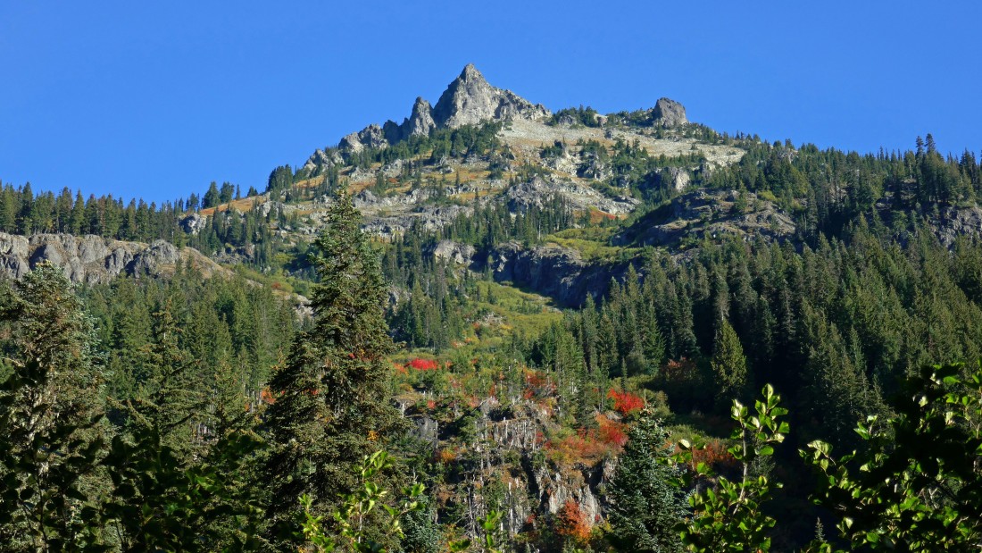
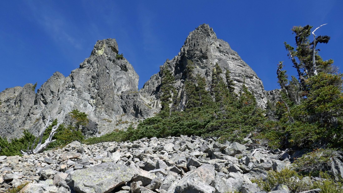
After hiking ~2 miles we got our first good look at Hibox Mountain.
|
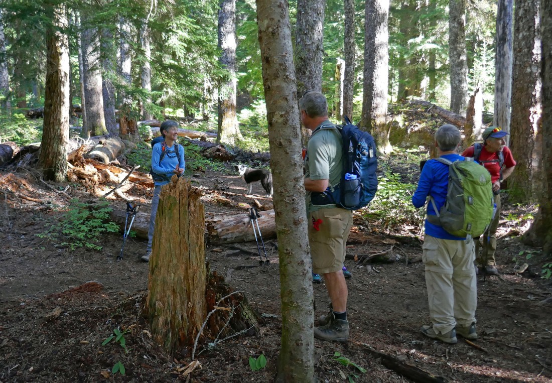
After hiking a total of 2.3 miles we have gained 500 feet of elevation and found the obvious path (Izzy is standing on it) that leaves the Rachel Lake Trail and heads NNE toward Hibox Mountain.
|
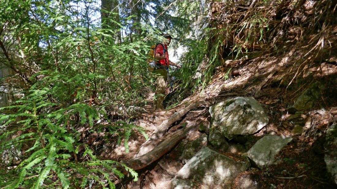
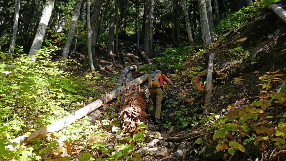
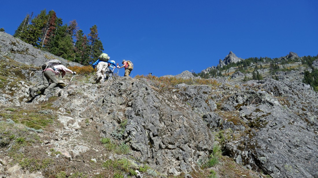
While it is very easy to follow the path, it is on very steep terrain.
|
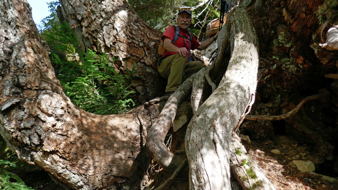
There are a couple spots where it feels like you are climbing a tree.
|
iraman on a short section where the path follows a stream bed.
|
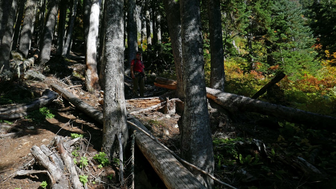
Getting ready to come out of the trees at approximately 4850 feet.
|
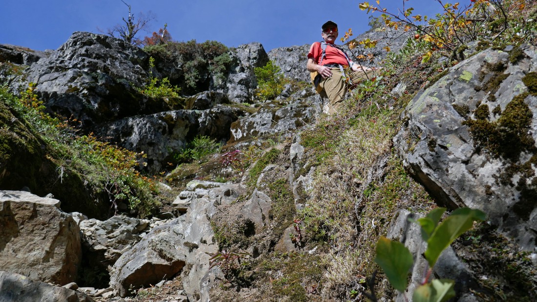
Steep terrain, but out of the trees and into the open.
|
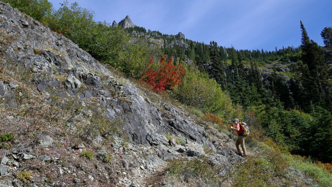
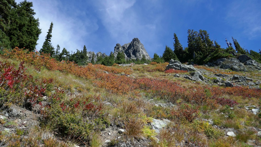
Continuing up... with Hibox Mountain above.
|
Up and up.
|
Looking across Box Canyon to Rachel Lake and Rampart Ridge in the center foreground... with Mt. Rainier in the distance behind Mt. Margaret on the left.
|
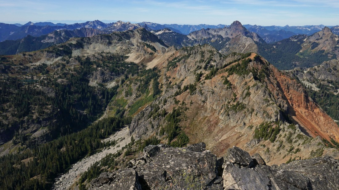
The gang is barely visible up there near the summit block of Hibox Mountain.
|

A closeup of Mt. Margaret in the foreground... with Mt. Rainier dominating the horizon.
|
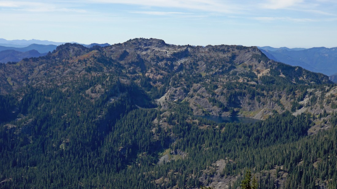
A closeup of Rachel Lake and Rampart Ridge.
|

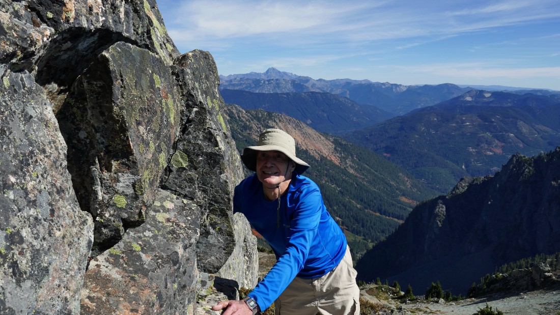
Peak identification as I near the summit block of Hibox Mountain.
|
The summit block of Hibox is only a stone's throw away... the path will lead me around to the right (northeast) of the summit block.
|
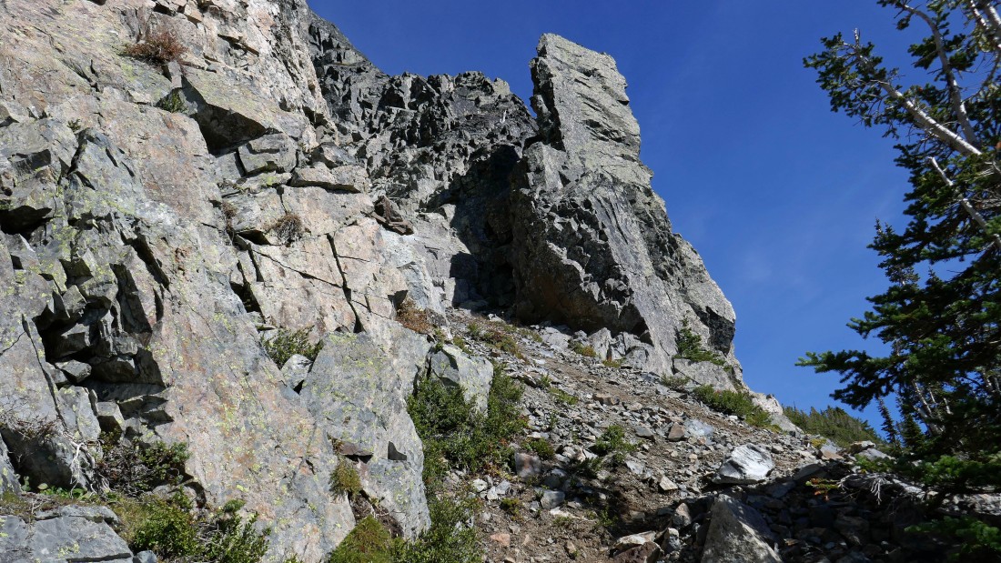
Still working my way NE as I work my way over to Hibox's east ridge... don't be tempted by the several gullies along the way unless you want a more difficult route to the summit.
|
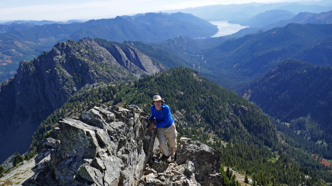
On Hibox's east ridge... with very nice views.
|
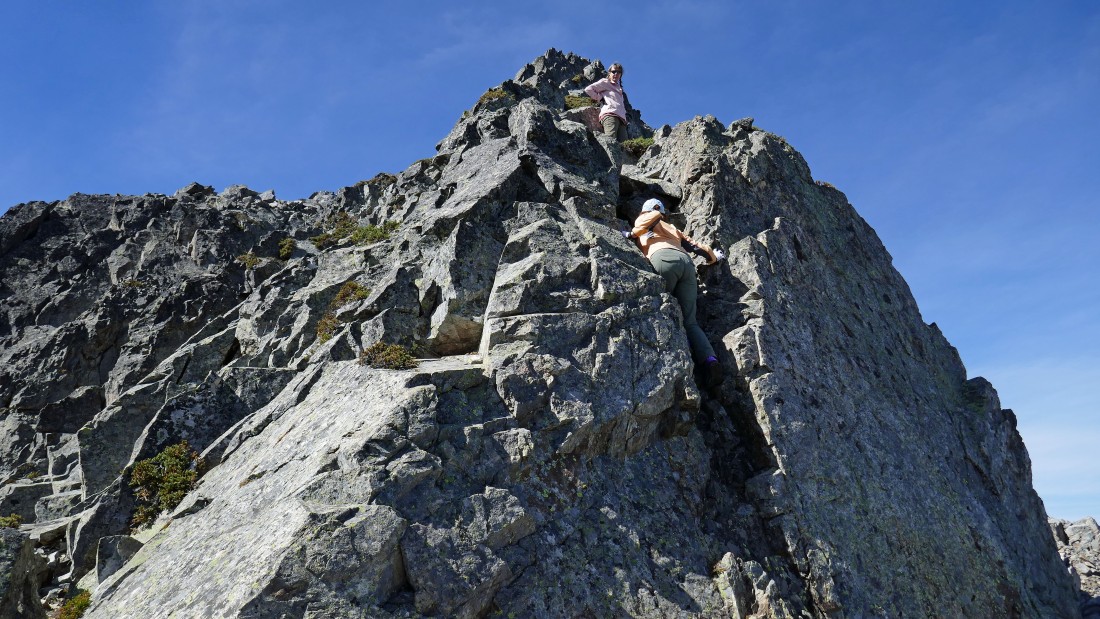
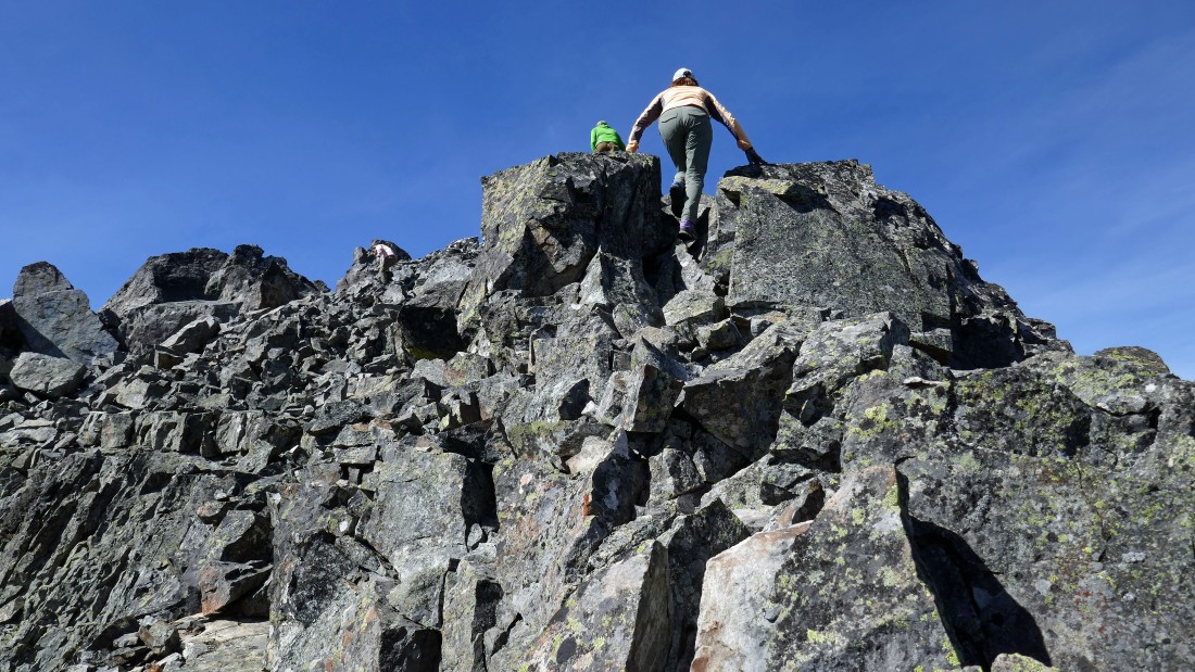
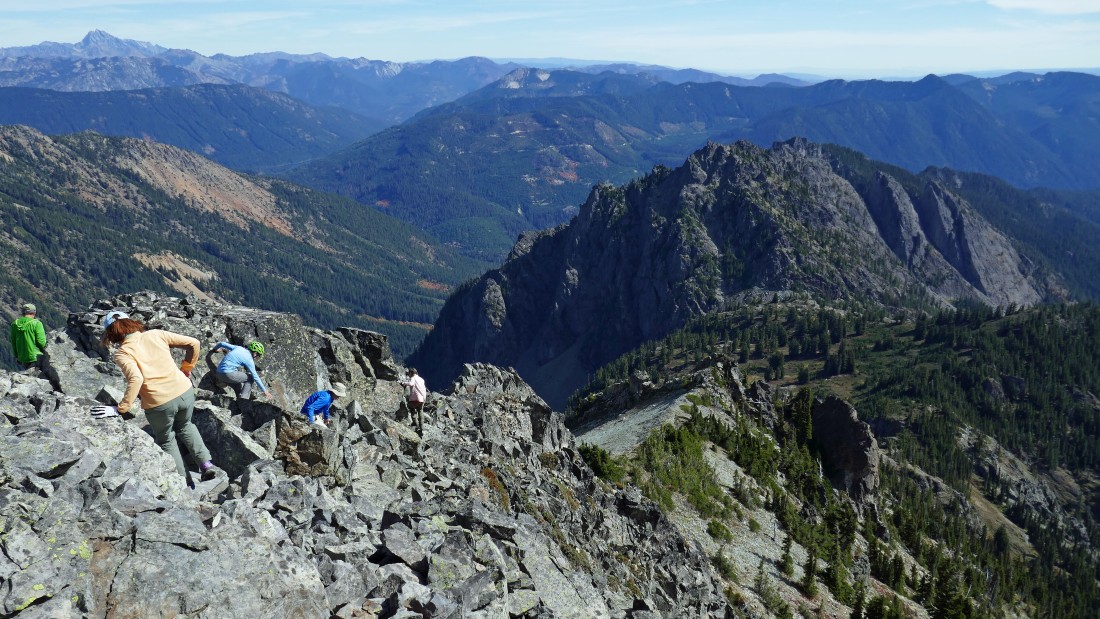
We dropped our day packs and are heading for the summit... Snowdog watches BarbE negotiate the first chimney.
|
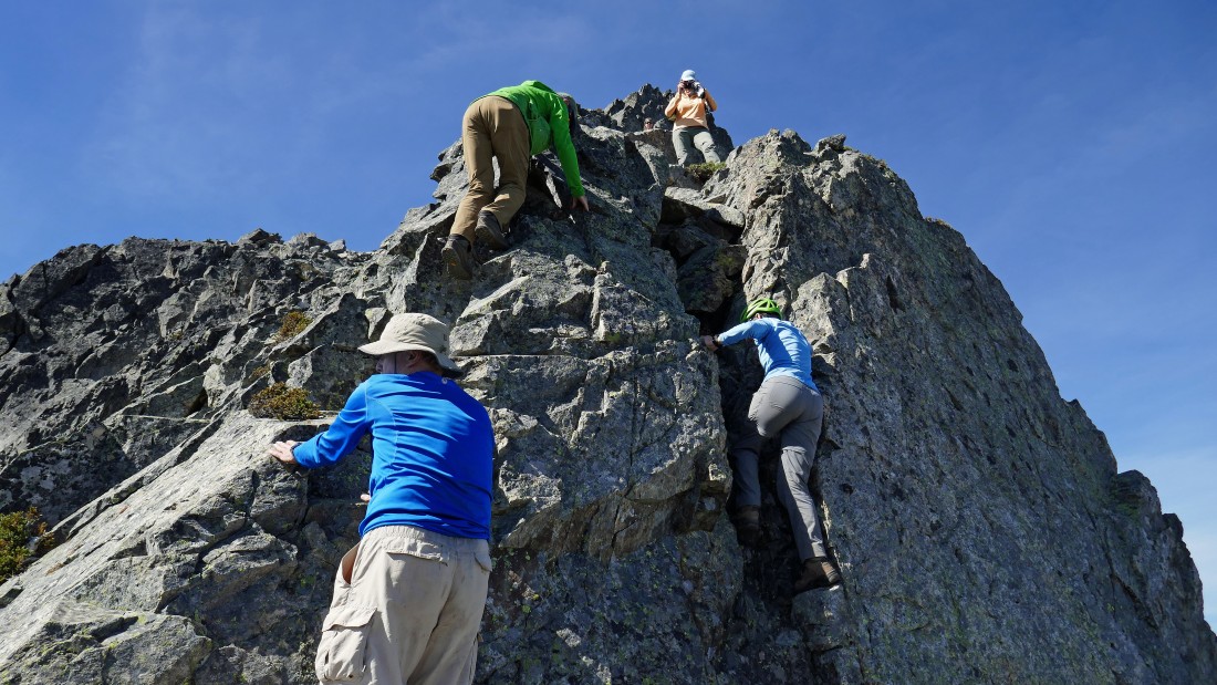
Karen in the first chimney... while rodman and iraman scramble to the left of the chimney.
|
rodman above the first chimney... Mt. Stuart stands out on the horizon.
|
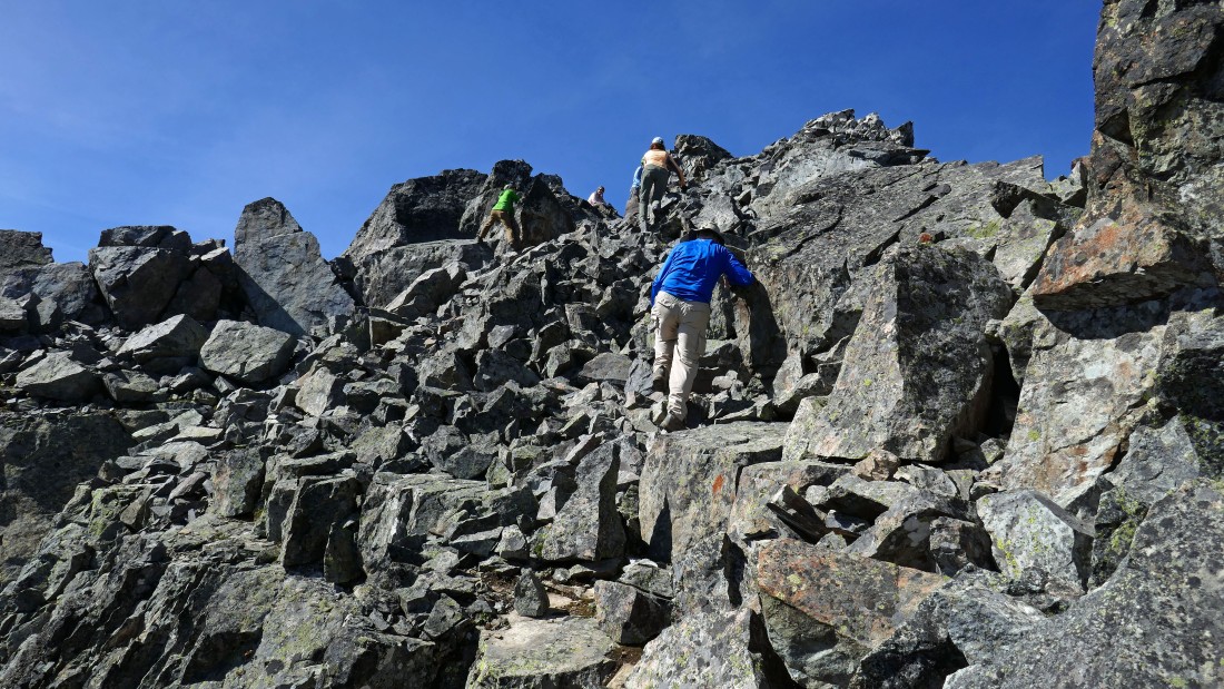
Snowdog nears the summit with iraman and BarbE in pursuit.
|
rodman coming up... with Kachess Lake in the distance... Lobox and the Mossy Slab are in the left foreground... Box Canyon is below on the right.
|
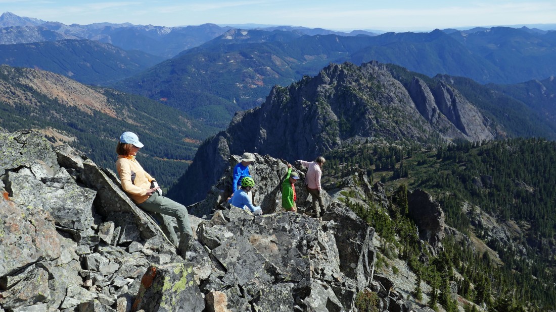
Snowdog relaxes on the summit (6547') while the rest of the gang nears the summit.
|
|
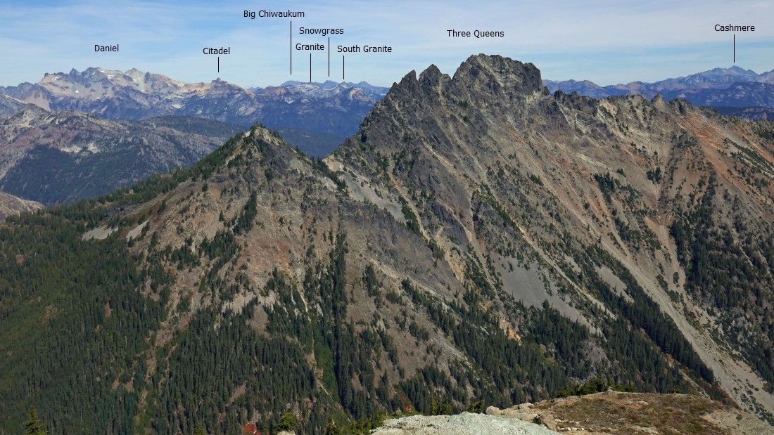
Peak identification from the summit of Hibox Mountain.
|
On the Hibox summit... looking south to Rainier on the left over to Mt. Thomson (northwest) on the far right.
|
Peak identification from the summit of Hibox Mountain... looking NW (left) to east (right).
|
Alta Mountain in the left foreground... and the ridge that runs from the Hibox summit over to Alta... Thomson and Huckleberry are in the right foreground.
|
Hanging out on the summit of Hibox Mountain... looking NW (left) to SE (right)... the pano shot made BarbE's hat look kind of small... and iraman has 6 fingers on his right hand.
|
Time to head down from the summit.
|
Logjam at one of the chimneys... perhaps this is Hibox's 'Hillary Step'.
|
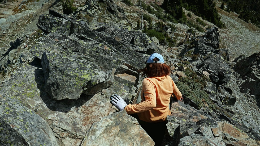
BarbE works the upper chimney.
|

Almost back down to where we gained Hibox's east ridge.
|
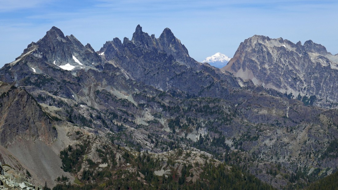
Back down to where we gained the east ridge... looking at Glacier Peak through the gap between Chimney Rock and Summit Chief.... Lemah Mountain on the far left.
|
Peak identification from the east ridge of Hibox Mountain.
|
Heading down from the east ridge of Hibox Mountain... looking across Box Canyon to Rachel Lake below Rampart Ridge.
|

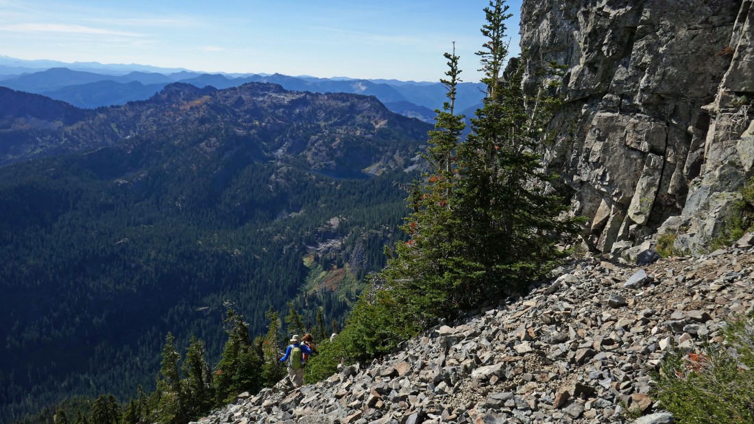
rodman deals with some of the steep terrain on the way back down to the Rachel Lake Trail.
|
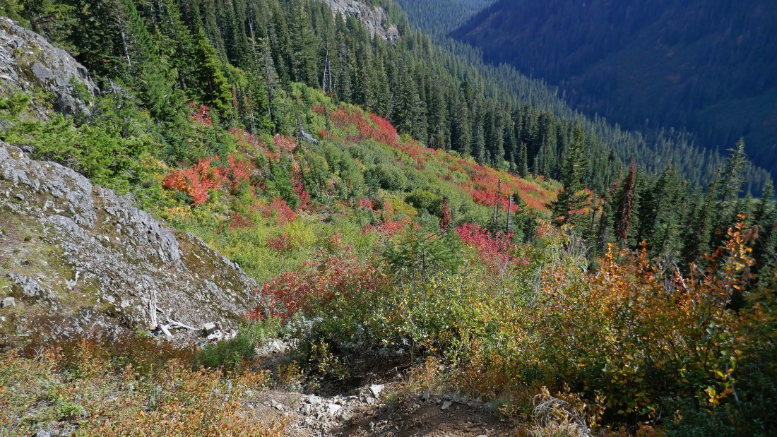
Autumn colors are pretty good... but they will be better in the next couple weeks.
|
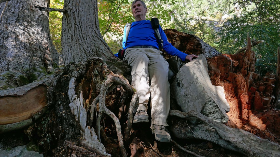
Trying to get back down to the Rachel Lake Trail... working the tree roots here... our total trip was 7.6 miles, gaining 4102 feet of elevation.
|
