Fortune Peak - 10.4.2018
|
A google earth look at my trip to Fortune Peak.
|

Park at the end of N. Fork Teanaway Road (aka FS-9737) and start hiking on Esmeralda Basin Trail #1394.
|
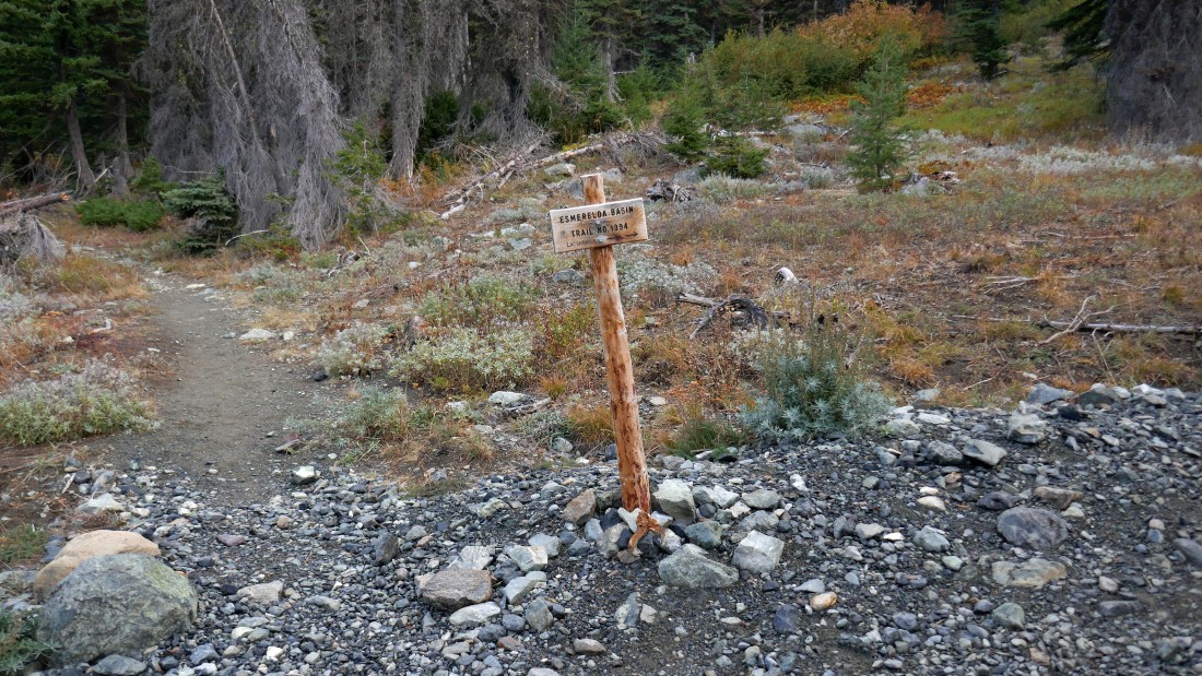
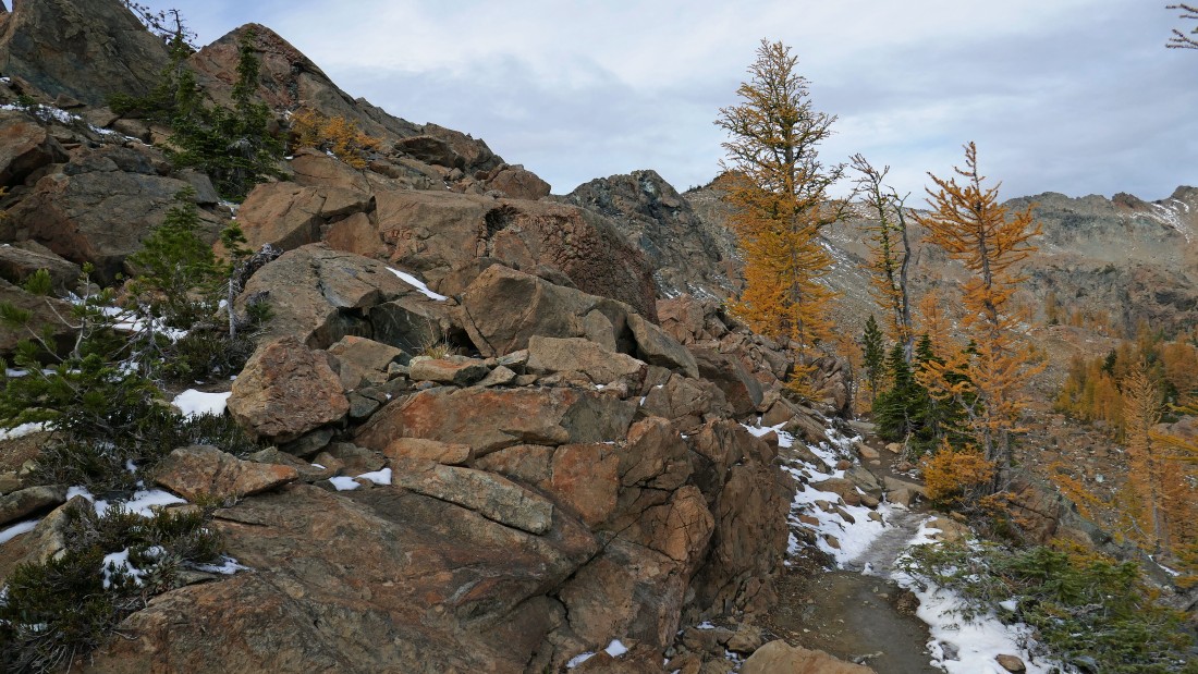
After hiking a total of .3 miles the Esmeralda Basin Trail continues straight, but I turned right onto Ingalls Way Trail #1390... note that there is no mention of this trail on the sign other than 'Lake Ingalls' scratched onto the bottom of the sign.
|

Esmeralda Peaks from Ingalls Way Trail... the east peaks are in the left foreground... with the west peak and north peak in the distance.
|
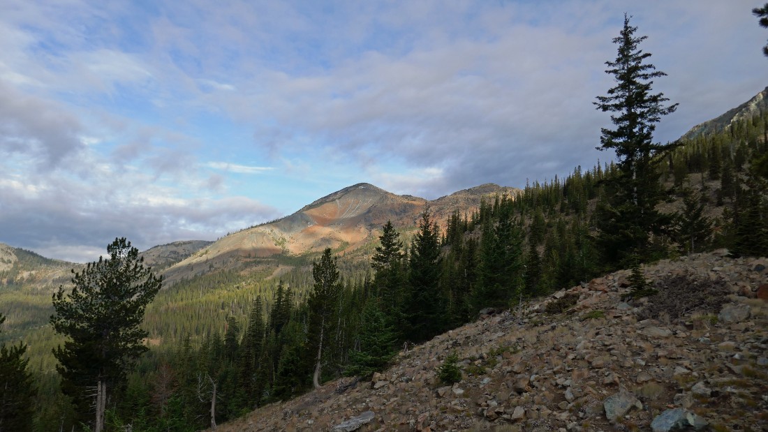
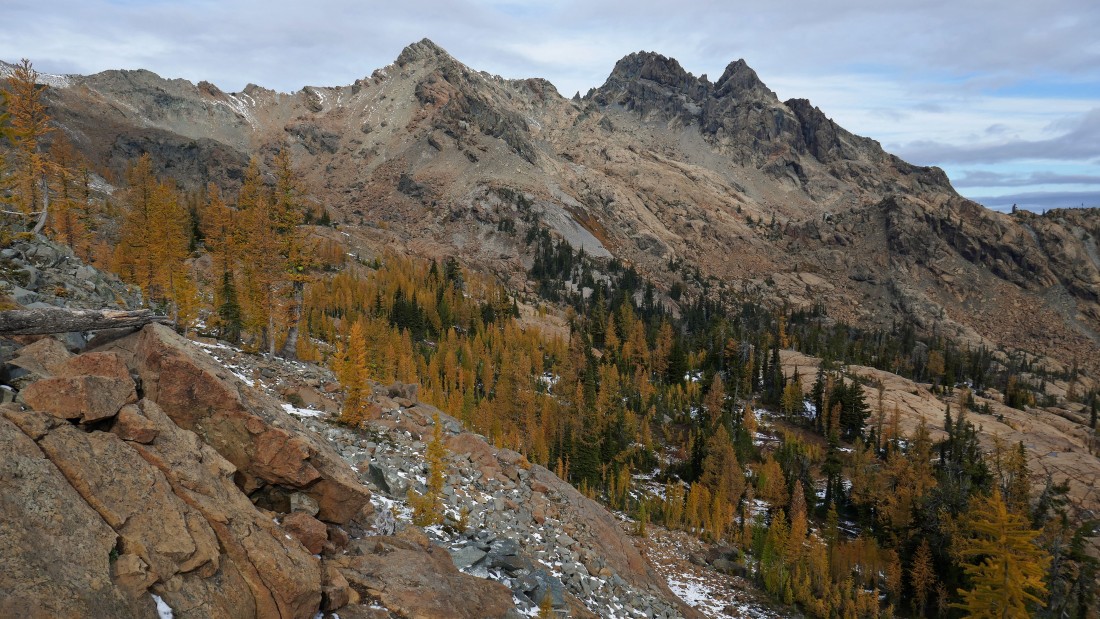
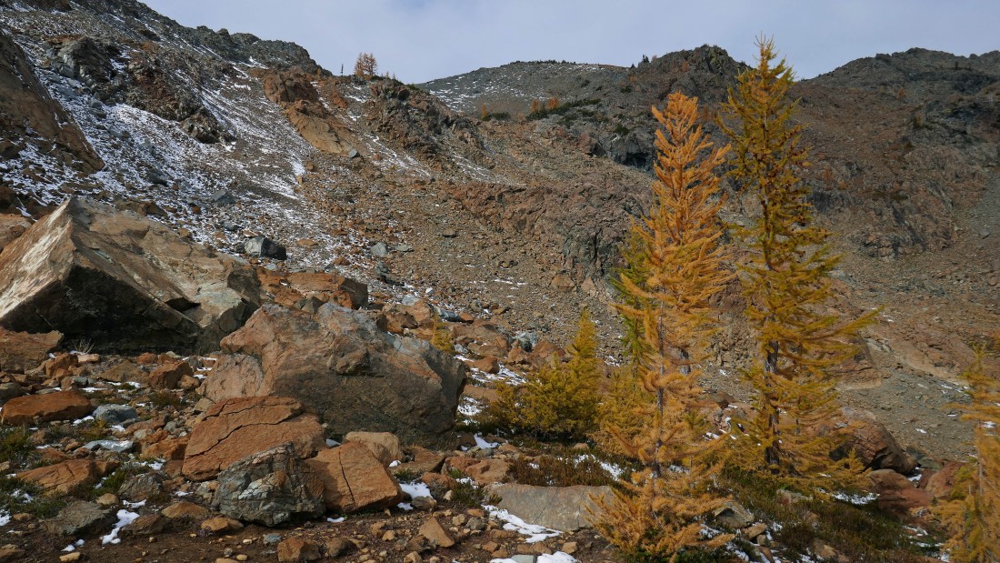
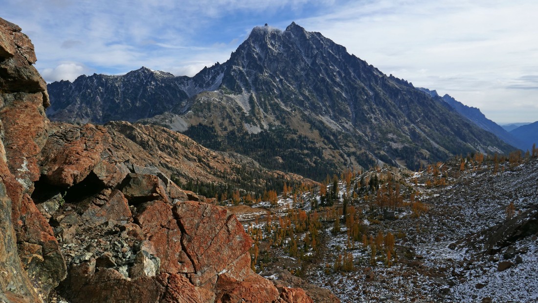
Fortune Peak is up there in the center of the photo.
|
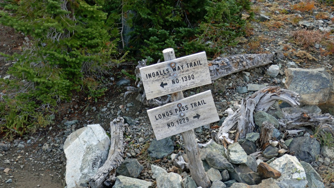
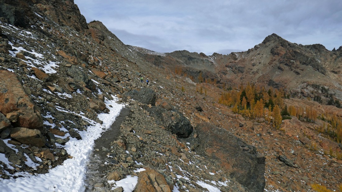
After hiking a total of 1.7 miles I have reached the junction with Longs Pass Trail #1229... but I will stay on the Ingalls Way Trail and head for Ingalls Pass.
|
High enough on the Ingalls Way Trail to see Hawkins Mountain.
|
Nearing Ingalls Pass... high enough to see Mt. Rainier on the horizon in the center of the photo.
|
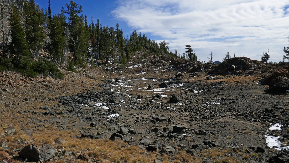
After hiking a total of 3.3 miles I have reached Ingalls Pass (~6500').
|

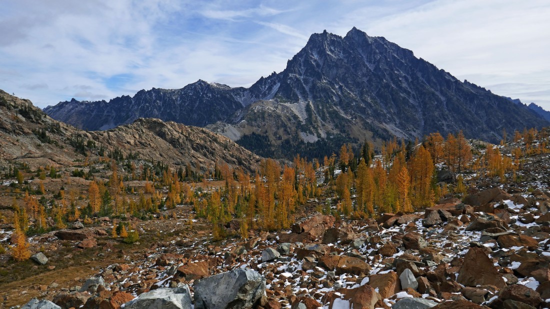
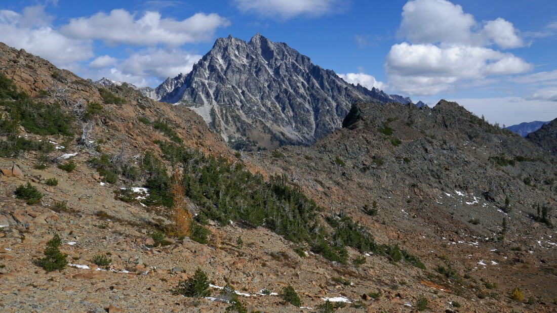
Mt. Stuart from Ingalls Pass.
|
From Ingalls Pass I'm looking across Headlight Basin to the three summits of Ingalls Peak.
|
From Ingalls Pass there are two trails... one drops immediately down into Headlight Basin... but I'm staying on the higher trail that circles around above the basin.
|
Staying on the higher trail that circles around Headlight Basin... South Ingalls Peak on the right.
|
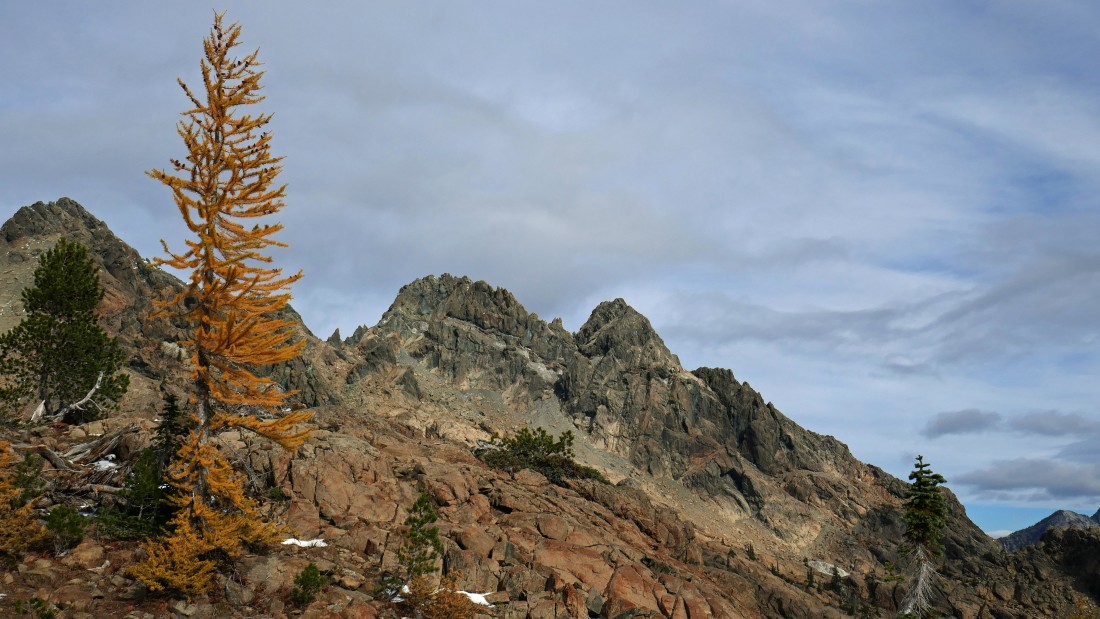
South Ingalls on the far left... with the north summit and east summit in the center of the photo.
|
After hiking a half-mile from Ingalls Pass I have left the trail and heading cross-country for Fortune Peak directly above.
|
Gaining elevation and looking back across Headlight Basin at Mt. Stuart.
|
Above Headlight Basin and heading for Fortune Peak up there somewhere.
|
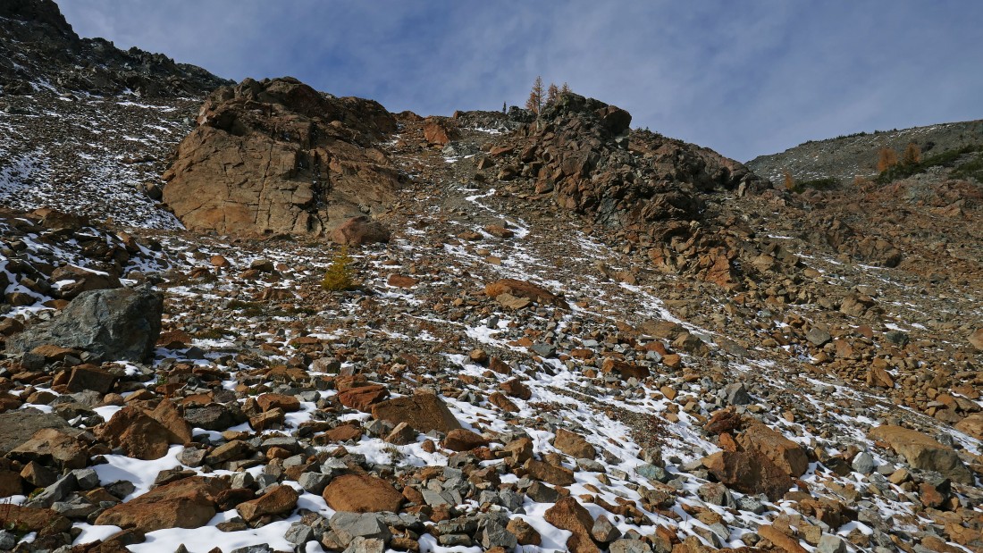
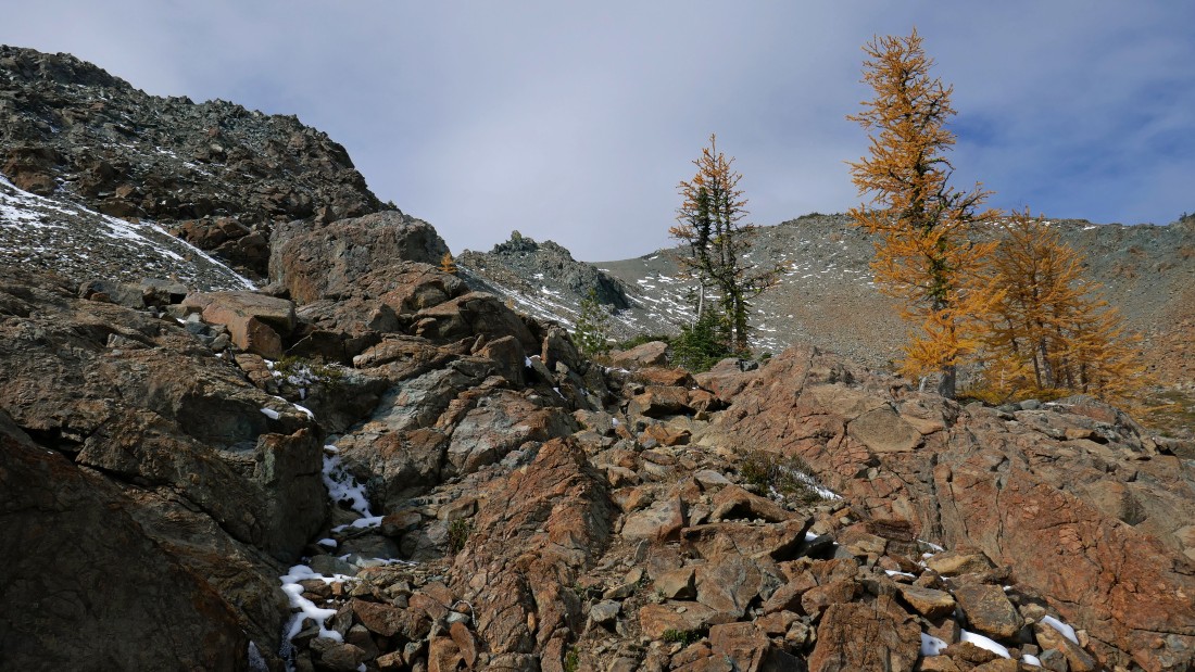
Steep terrain on the way to Fortune Peak.
|
Getting higher above Headlight Basin.
|
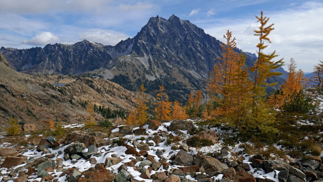
High enough now to see Lake Ingalls in the center of the photo... with Ingalls Peak to the left and Mt. Stuart to the right.
|
Fortune Peak is up there on the right... but I'm going to head for that gnarly looking rock formation in the center of the photo that is on Fortune's ESE ridge.
|
Looking back at Mt. Stuart as I head for the ESE ridge of Fortune Peak.
|

Heading for the ESE ridge of Fortune Peak.
|
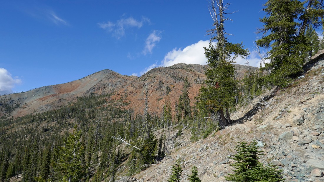
High enough now to look beyond Fortune's ESE ridge to other Teanaway peaks.
|
At ~7050 feet I have reached the ESE ridge of Fortune Peak... here I'm looking down into Esmeralda Basin... with Esmeralda Peaks in the right foreground.
|
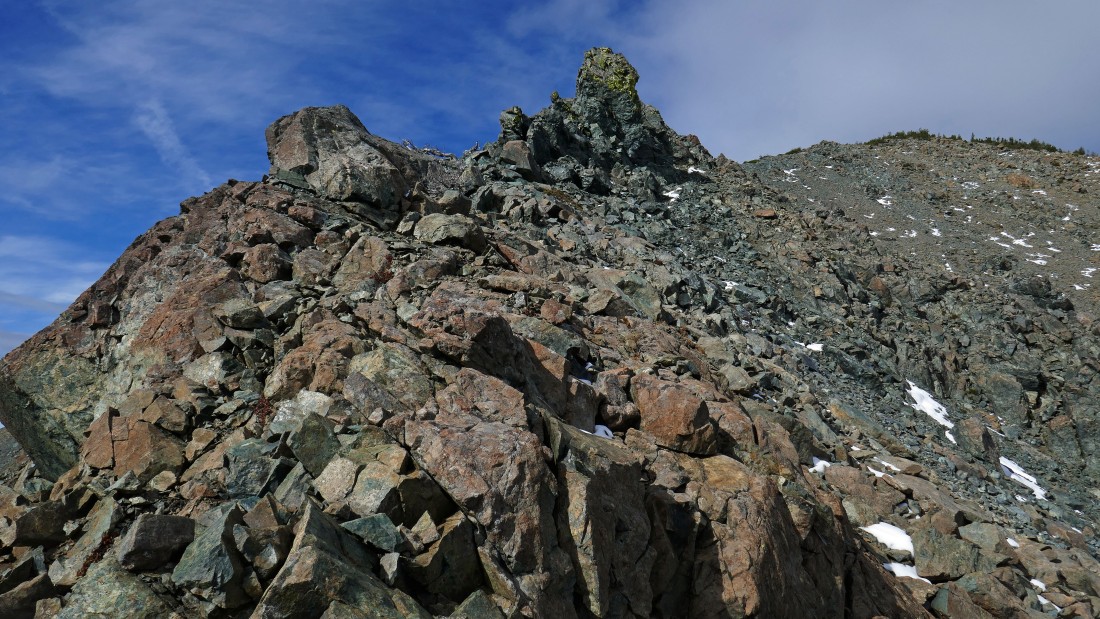
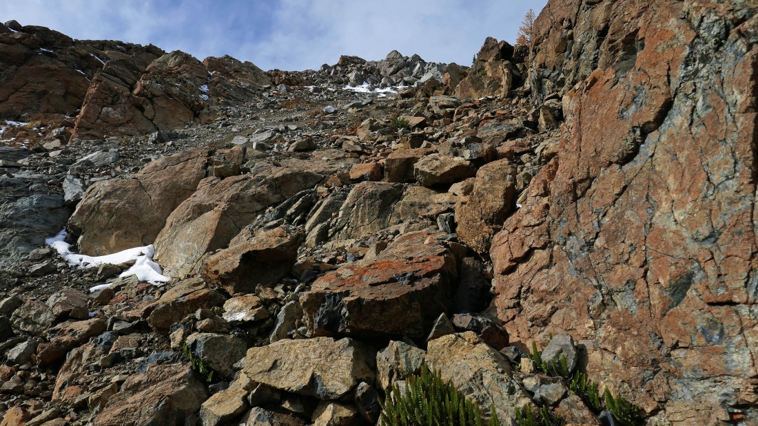
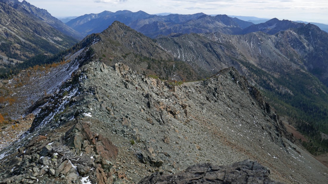
On the ESE ridge of Fortune Peak... there is an obvious path on this section of the ridge that I will follow up to the summit.
|
Looking down to Headlight Basin from the ESE ridge of Fortune Peak.
|

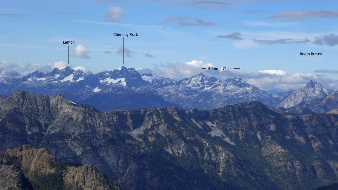
After hiking a total of 4.5 miles I have reached the summit (7382') of Fortune Peak... the summit cairn separates Bears Breast Mountain on the left and Mt. Daniel on the right.
|
On the Fortune Peak summit looking down to Lake Ann below... Hawkins Mountain in the left foreground... Scatter Peaks in the center foreground... with South Ingalls in the right foreground.
|

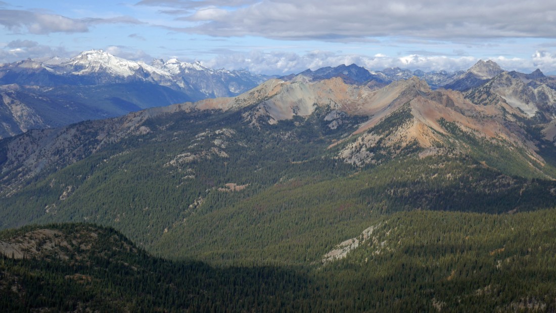
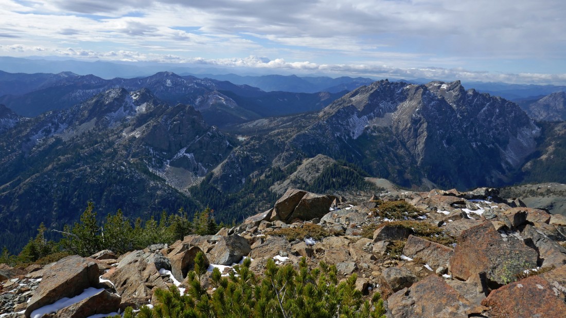
Looking NW into the heart of the Alpine Lakes Wilderness.
|
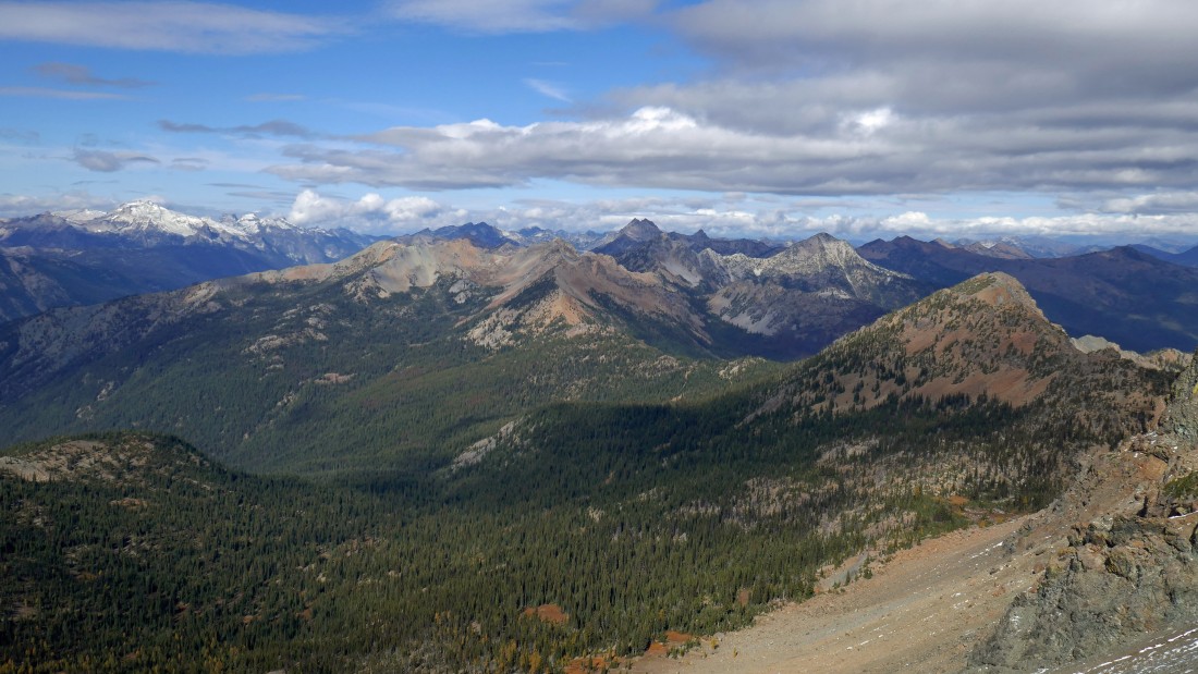
Looking north from the summit of Fortune Peak.
|
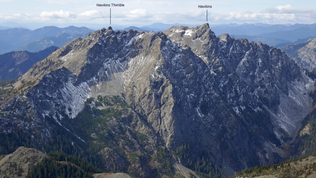
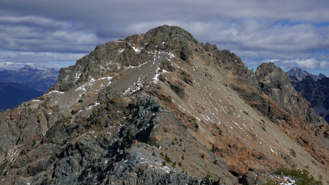
A closeup of Hawkins Mountain from the summit of Fortune Peak.
|
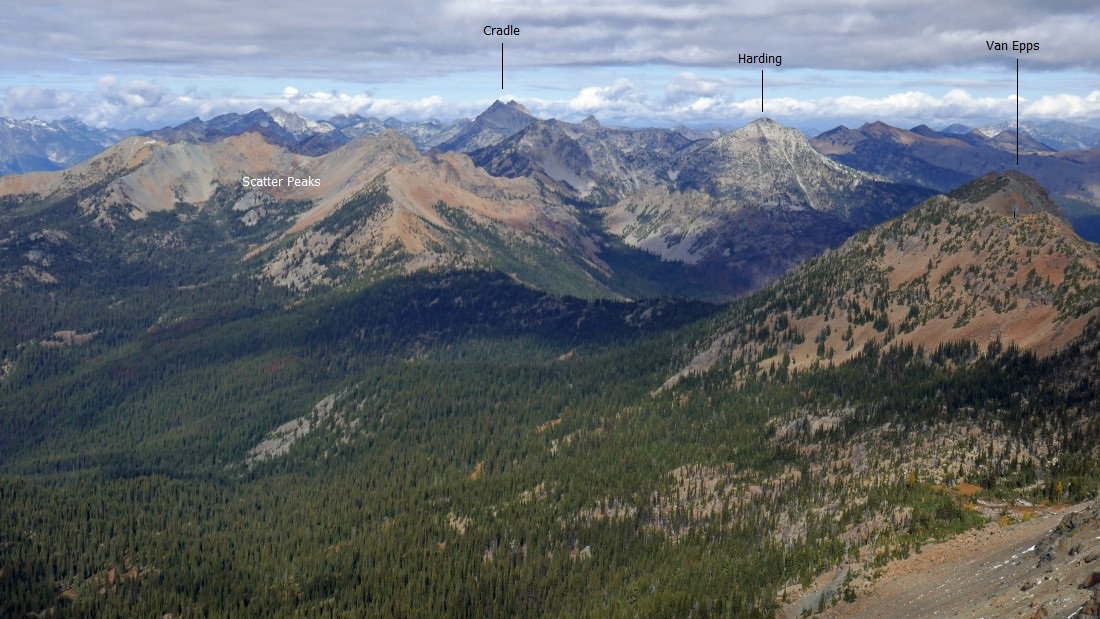
Mt. Hinman and Mt. Daniel on the left to the Cradle on the right... with Scatter Peaks in the foreground.
|
Looking west from the summit of Fortune Peak.
|
Looking south at the west peaks and north peak of Esmeralda in the left foreground... with Hawkins Mountain in the right foreground... look closely and you will see Gallagher Head Lake between them.
|
The ridge that connects Fortune Peak to South Ingalls... with East Ingalls in the right foreground... and Cashmere Mountain (I think) on the far right horizon.
|
Scatter Peaks in the center foreground... with sunshine hitting Van Epps Peak in the right foreground... Mt. Daniel stands out on the far left.
|
Looking down on Lake Ann from the summit of Fortune Peak.
|
I have left the Fortune Peak summit... tracing my steps back down a portion of Fortune's ESE ridge... Headlight Basin is on the left side of the ridge... but I'm looking for the right place to head down to the right side of the ridge toward Lake Camp Fire Girls.
|
My last look at Ingalls Peak and Lake Ingalls before I leave the ridge and drop down to Lake Camp Fire Girls.
|

I met Mattie and Steve on my way to Lake Camp Fire Girls... Fortune Peak is directly above Steve's head in the distance.
|

Leaving Fortune's ESE ridge and heading for Lake Camp Fire Girls... kind of looks like a dry lake from here.
|
Working my way down to Lake Camp Fire Girls... with Mt. Stuart through the gap.
|
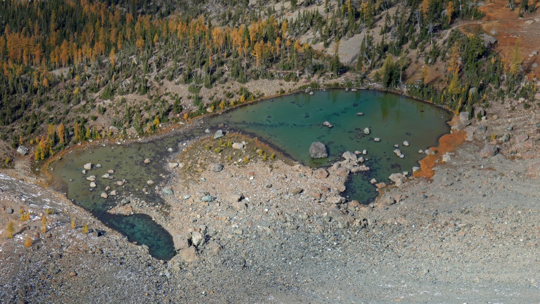
Looking down on a dry Lake Camp Fire Girls... the terrain is too steep here for me to feel comfortable in getting down there... so I will keep looking for a good spot.
|
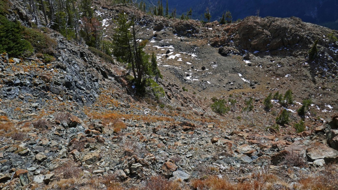
A Class 2 gully will get me down to the lake.
|
After hiking a total of 5.1 miles I have reached Lake Camp Fire Girls (~6500').
|
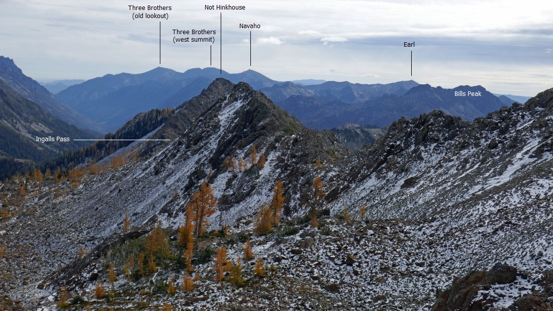
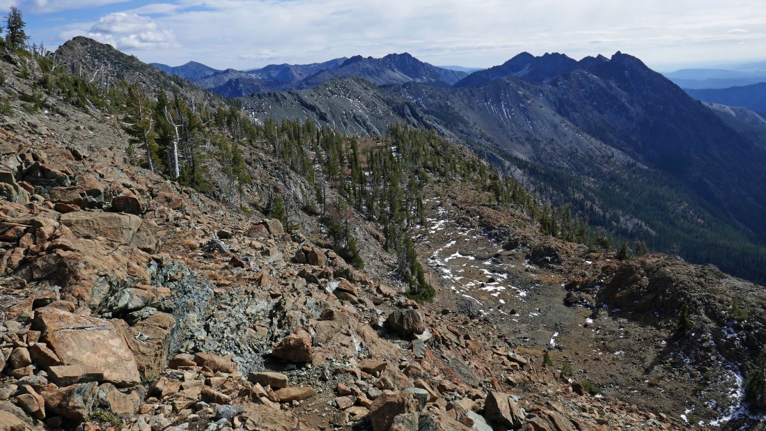
I'm hiking east from Lake Camp Fire Girls on a large bench that kind of hugs the cliffy ESE ridge of Fortune Peak... Ingalls Pass is in the left foreground of the photo... with 'Not Hinkhouse' peak in the center foreground.
|

I will take the path of least resistance to reconnect with the Ingalls Way Trail below.
|

After hiking a total of 5.7 miles (~6240') I have reconnected with the Ingalls Way Trail... looking back at the approximate route that I took from Lake Camp Fire Girls.
|
On the Ingalls Way Trail... looking back at Fortune Peak on the left... I still have ~2.5 miles to get back to the car... the total trip was 8.7 miles, gaining 3422 feet of elevation.
|
