French Cabin Mountain (West Peak) - 10.23.2018
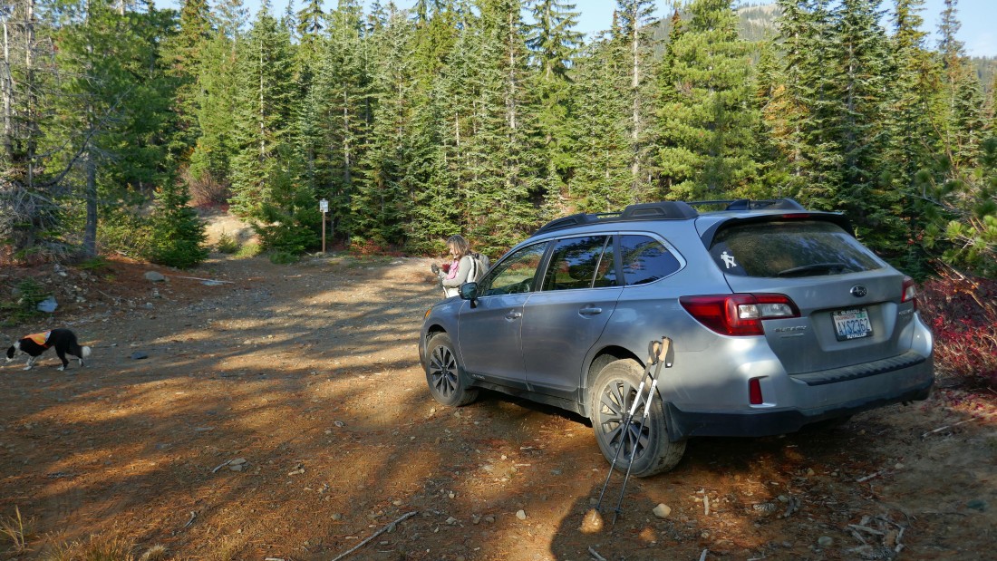
From the Old #3 Tavern in Ronald, Washington... drive WA-903 (aka Salmon La Sac Road) for 9.9 miles and turn left on French Cabin Creek Road (aka FS-4308)... then drive 4308 for 7.2 miles to the trailhead... note that the last .6 miles of the road is pretty rugged and brush will scratch at the sides of your car.
|
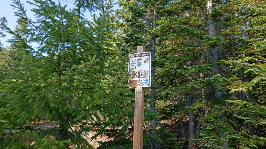
Parking at ~4150 feet we started our hike on French Cabin Creek Trail #1305... apparently the sign makes a nice target for the hunters.
|
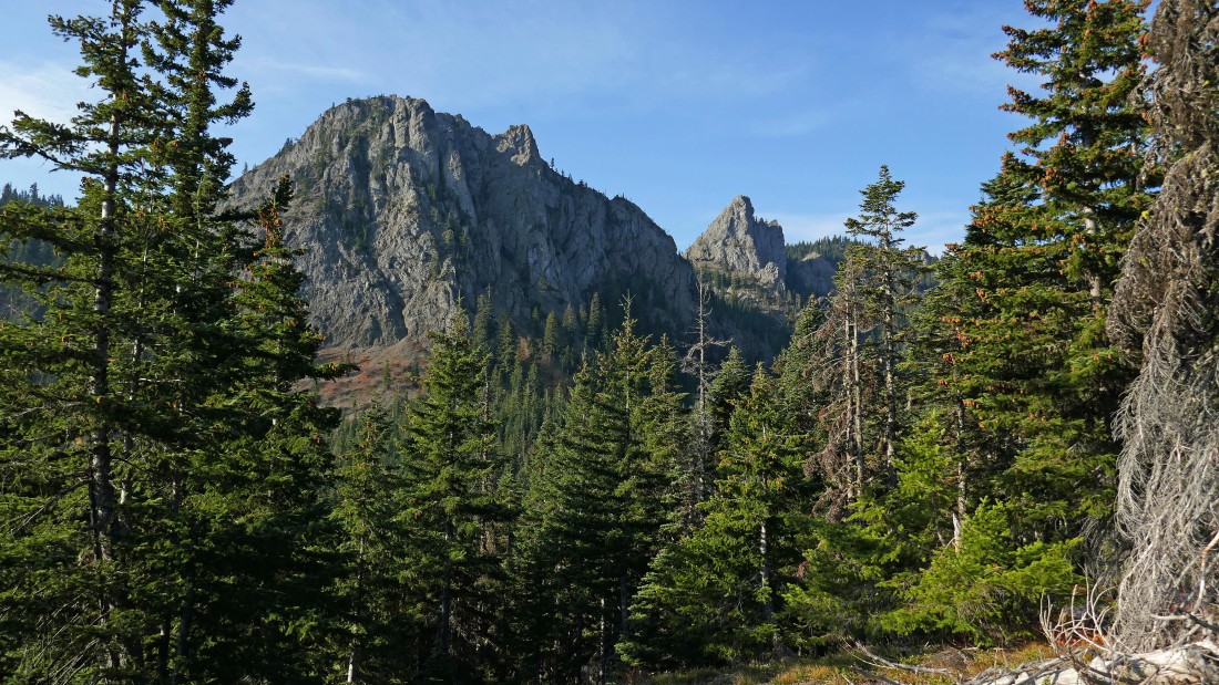
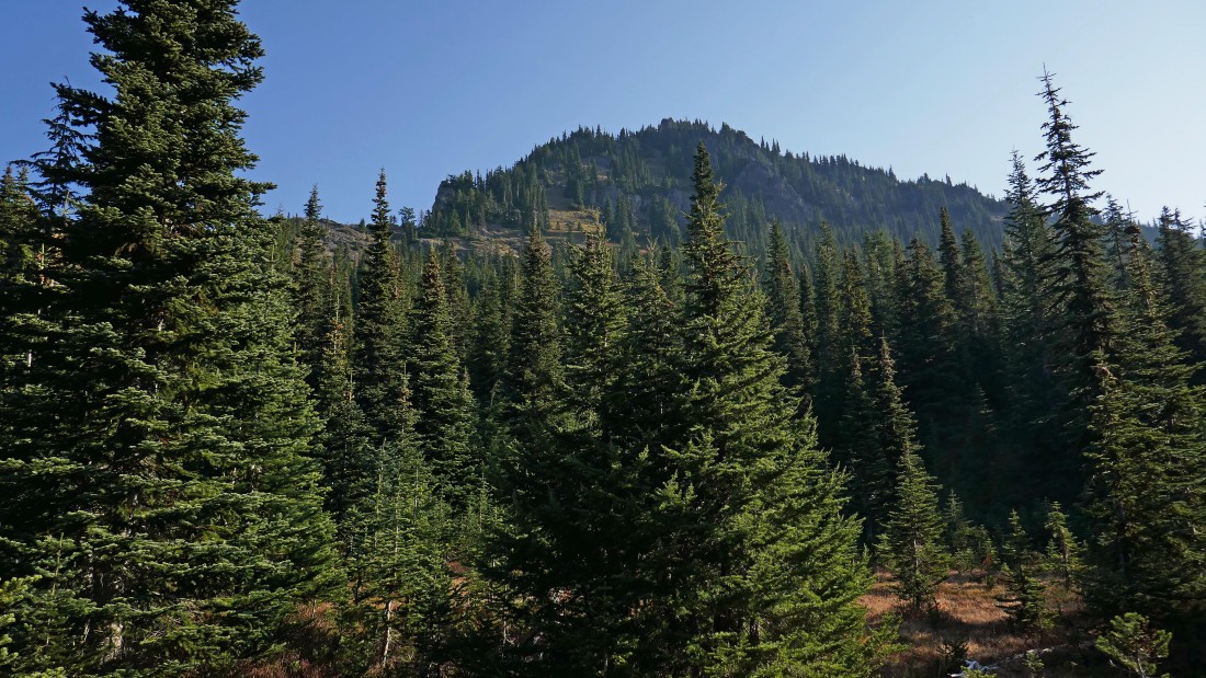
Switchbacking our way up toward Kachess Ridge we got our first good look at French Chin (left) and French Tongue (right)... we will be joining the Kachess Ridge Trail very soon and then follow it to a pass between the Chin and Tongue.
|
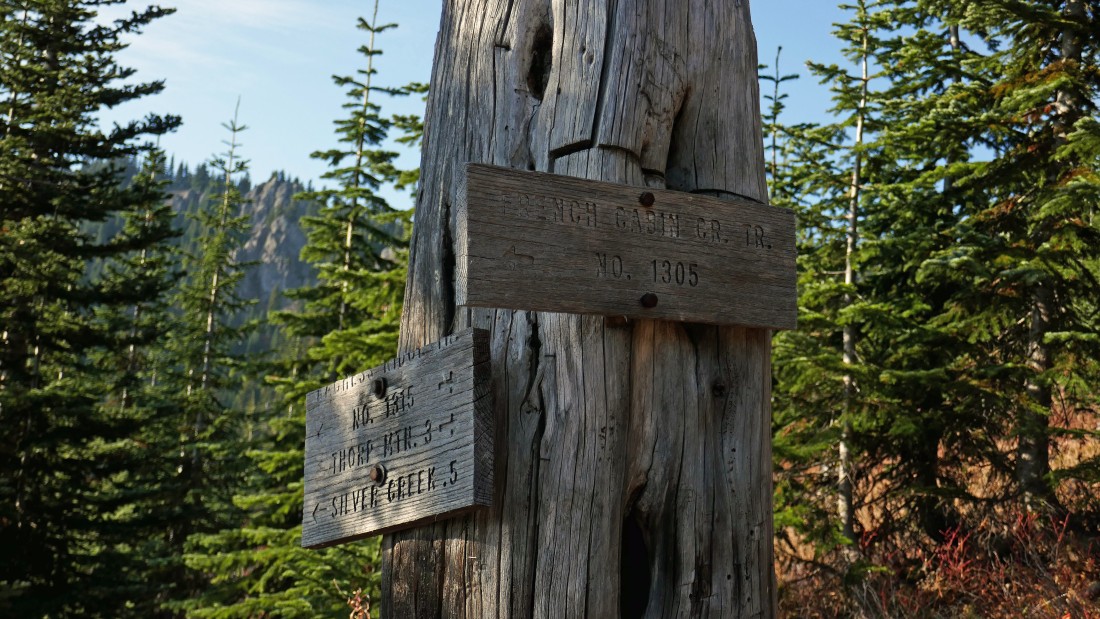
After hiking a total of 1.2 miles we have reached the junction (~4850') with Kachess Ridge Trail #1315... time to head for Silver Creek Basin.
|
After hiking a total of 1.7 miles we have reached the pass (~5030') that separates the French Cabin Creek drainage and the Silver Creek drainage... here we are looking up at the West Peak of French Cabin Mountain... our target for the day.
|
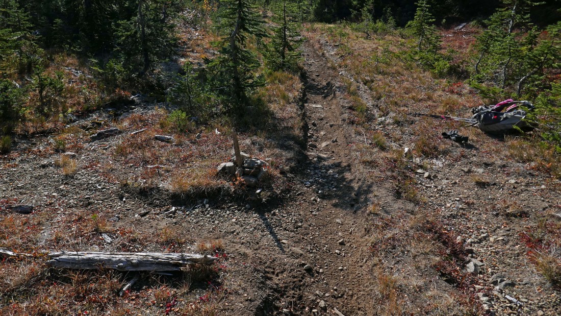
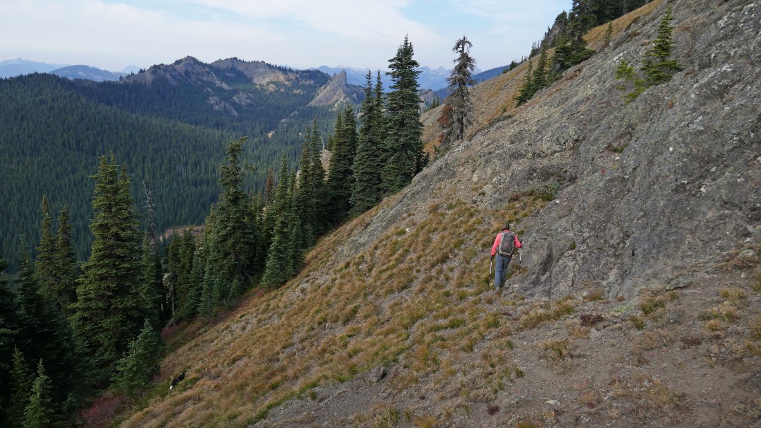
After hiking a total of 2.7 miles we have reached the unsigned junction (~4680') for the Silver Creek Tie Trail #1308.1... it will take us over toward the south ridge of the West Peak... note that while the trail is unsigned, there is a pile of rocks holding up a stick... plus, it is an obvious path.
|
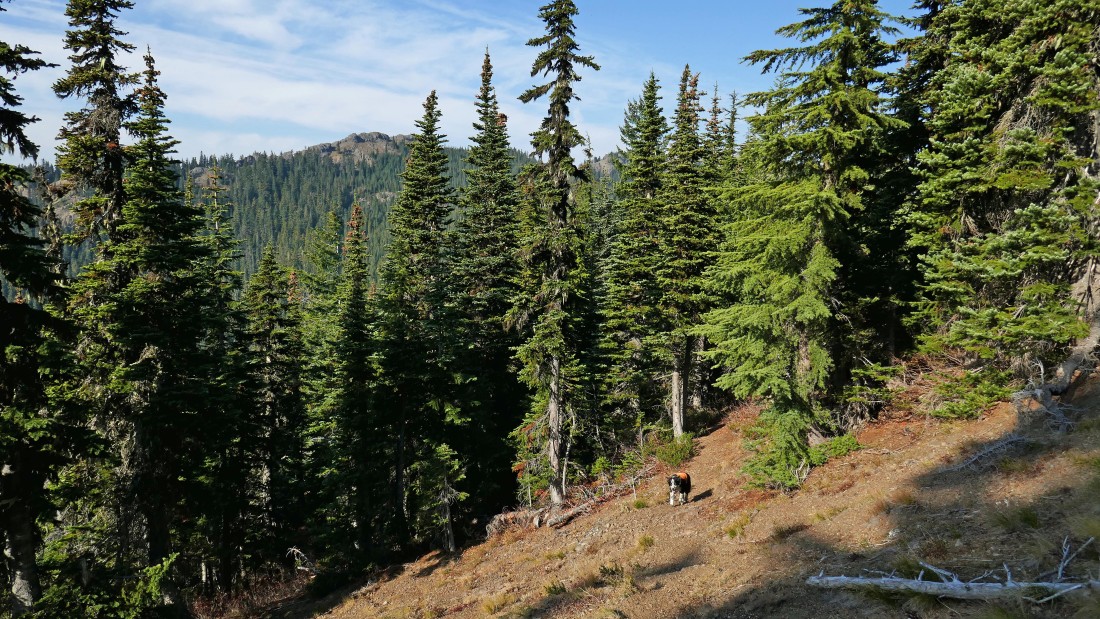
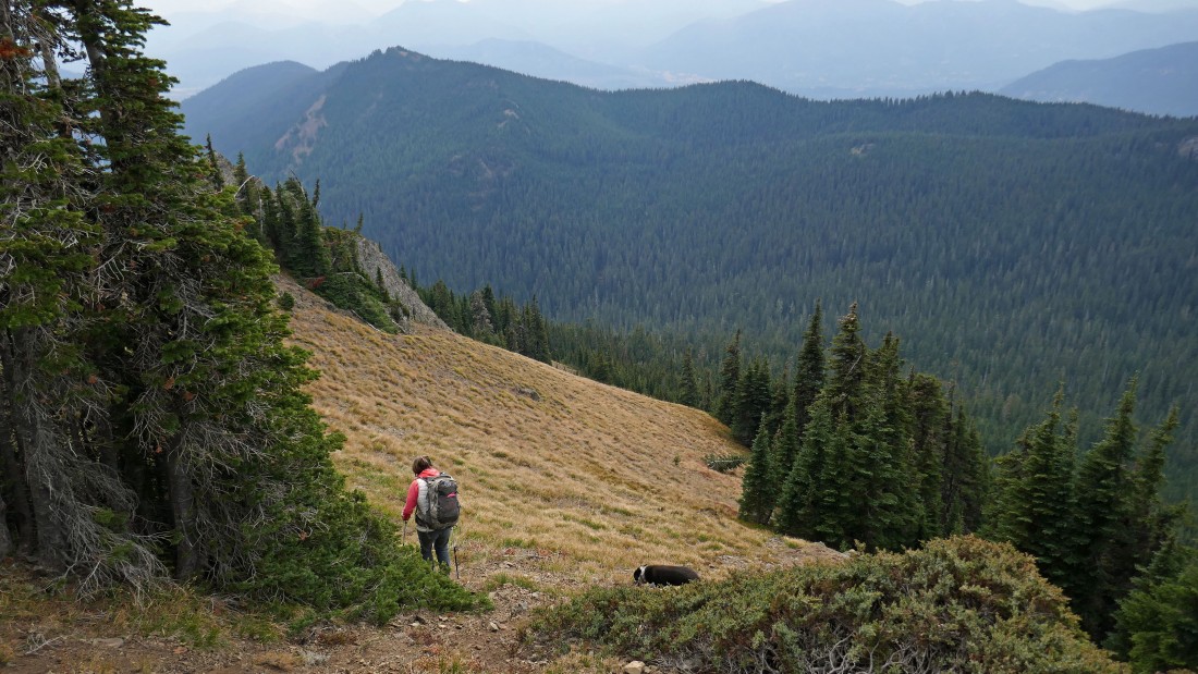
Here comes Izzy hiking up the Silver Creek Tie Trail... here I am looking back across Silver Creek Basin to Kachess Ridge.
|
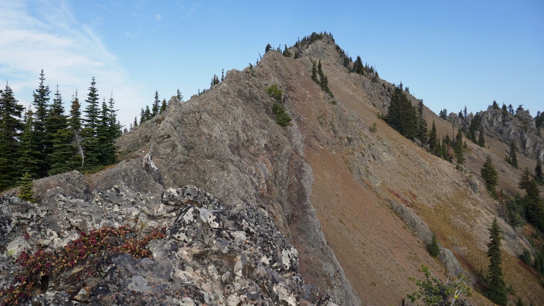
After hiking a total of 3.3 miles we have reached the south ridge (~5260') of the West Peak... the Silver Creek Tie Trail got us to within 25 feet of the ridge.
|
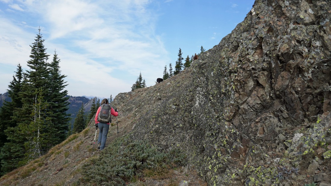
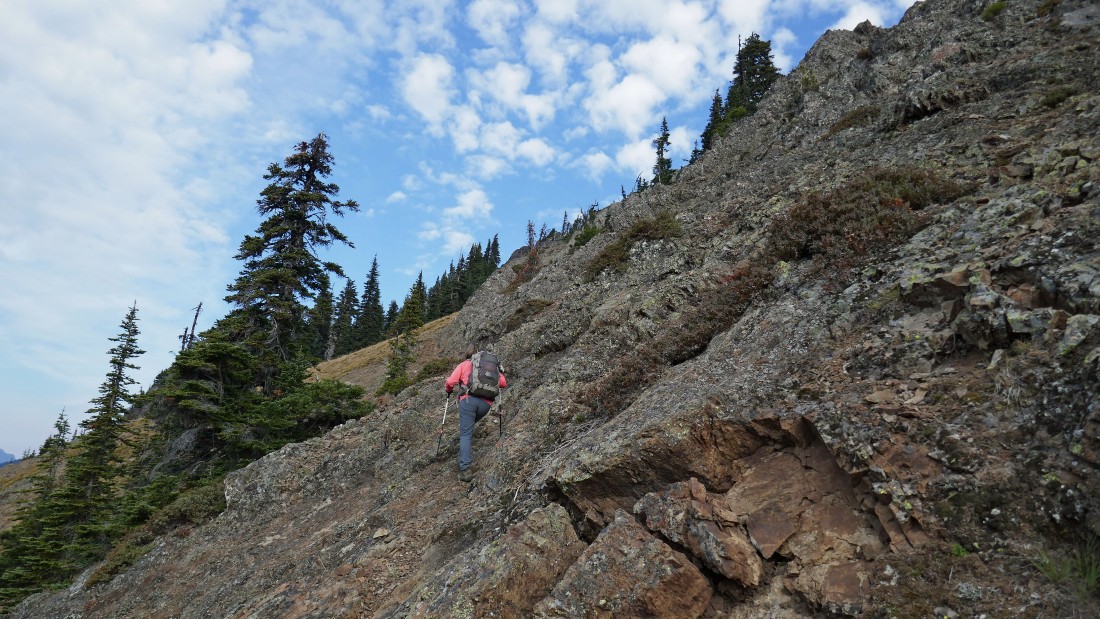
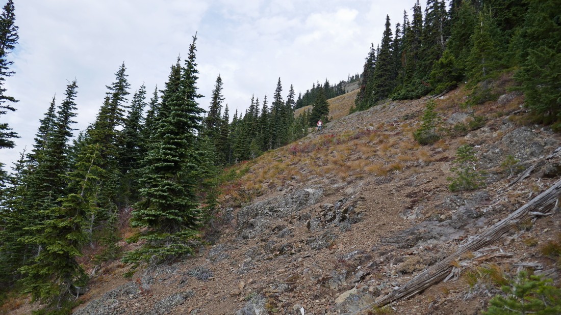
Heading up the south ridge... too gnarly to stay on the ridge so we are hiking on the west side of the south ridge... at least 50 feet below the ridge.
|

Continuing up the south ridge of the West Peak.
|
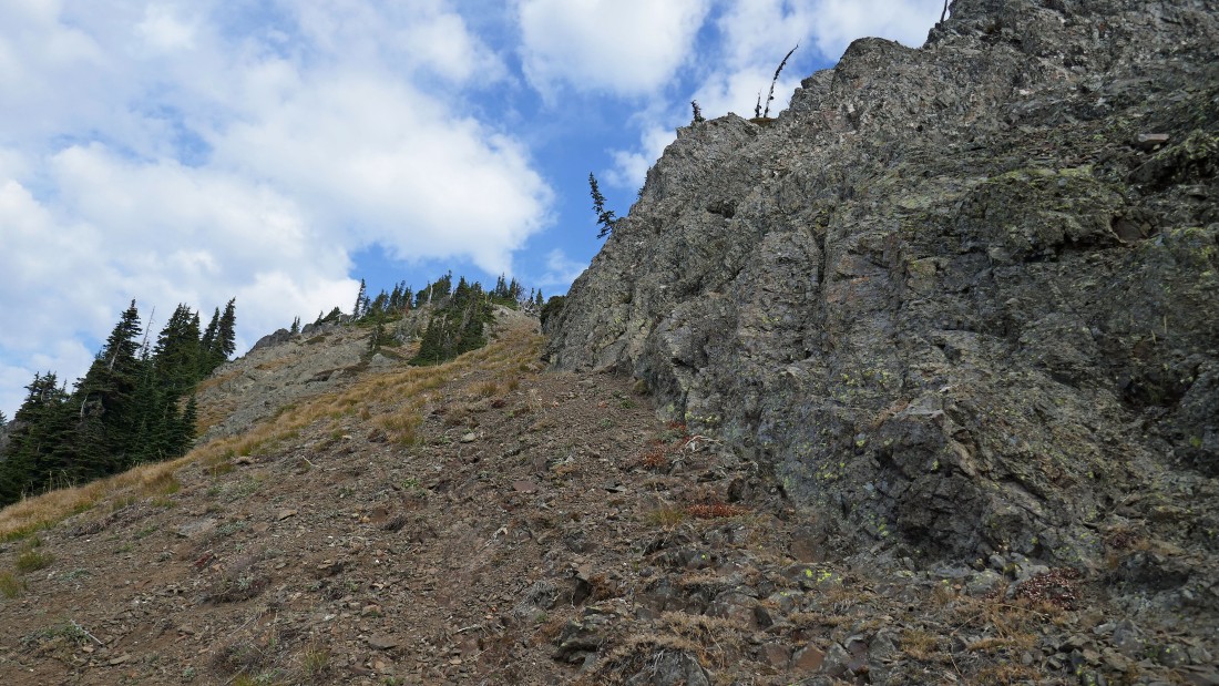
Heading for the West Peak summit.
|
Getting closer, but there is still some work to do.
|
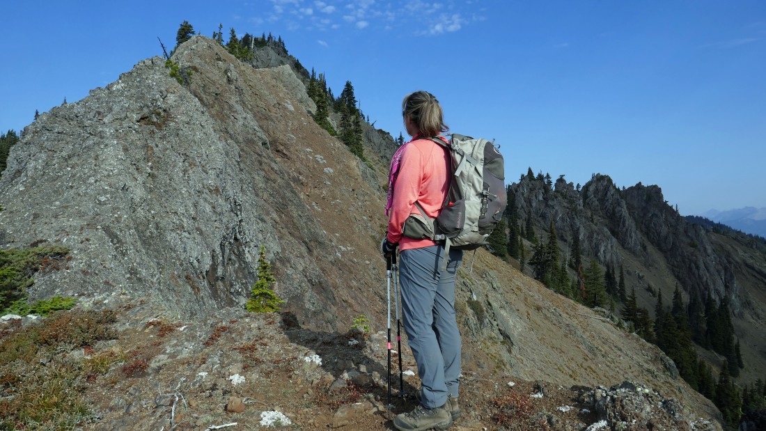
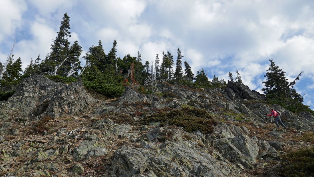
Working around some rock outcroppings on the south ridge of West Peak... Point 5525 on Kachess Ridge is in the distance... French Tongue is the spire.
|
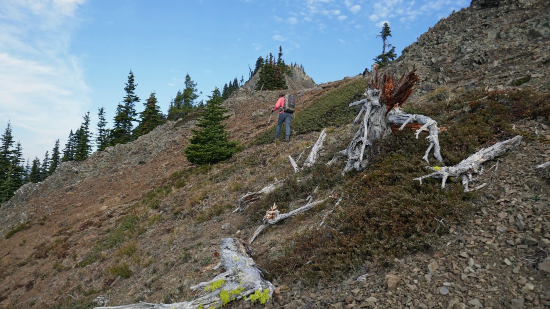
This is not the most fun terrain... 50 feet lower would be a lot better, but we are stubborn and don't want to give up the elevation... however, we will happily do so on our return.
|
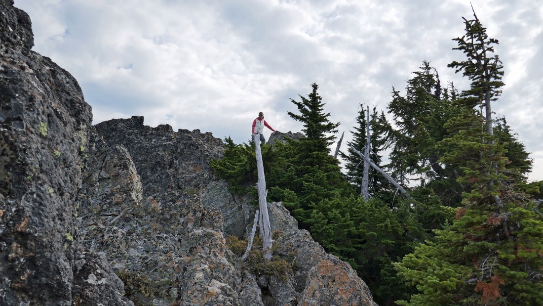
The final scramble is in view.
|
Almost on the summit.
|
After hiking a total of 3.6 miles, Snowdog is standing on the summit (5724') of the West Peak of French Cabin Mountain.
|
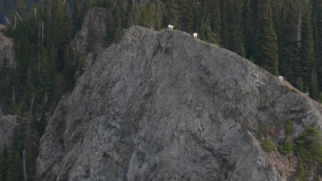
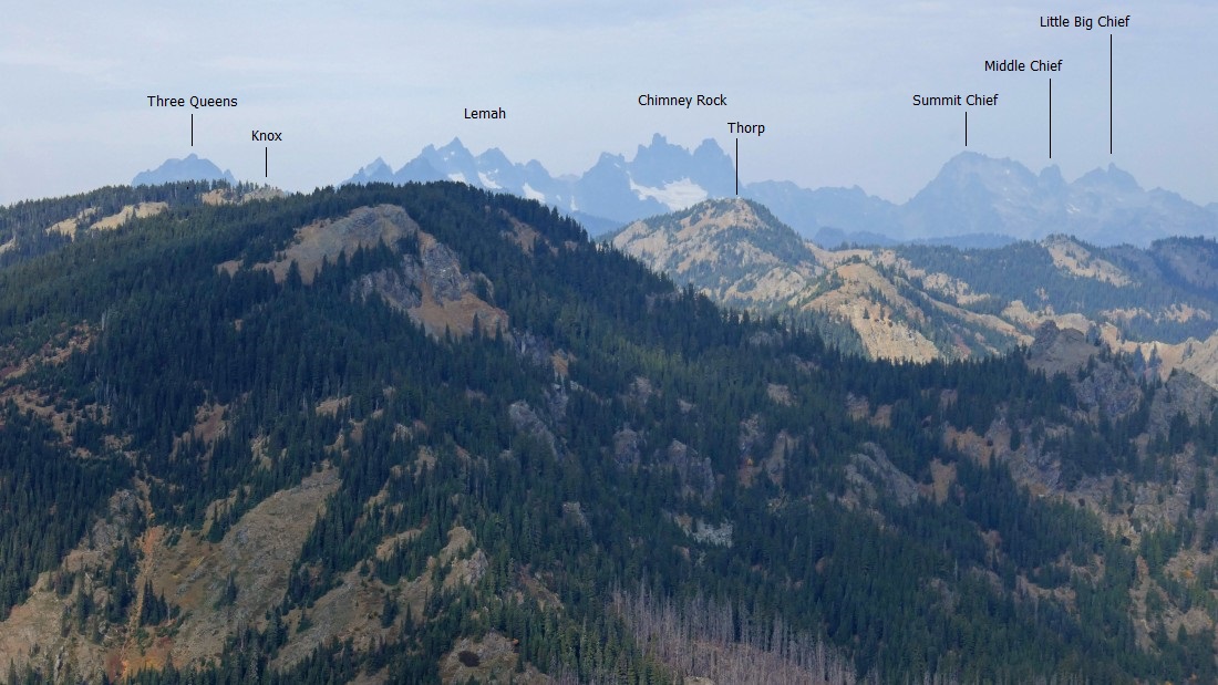
Three neighbors to the east.
|
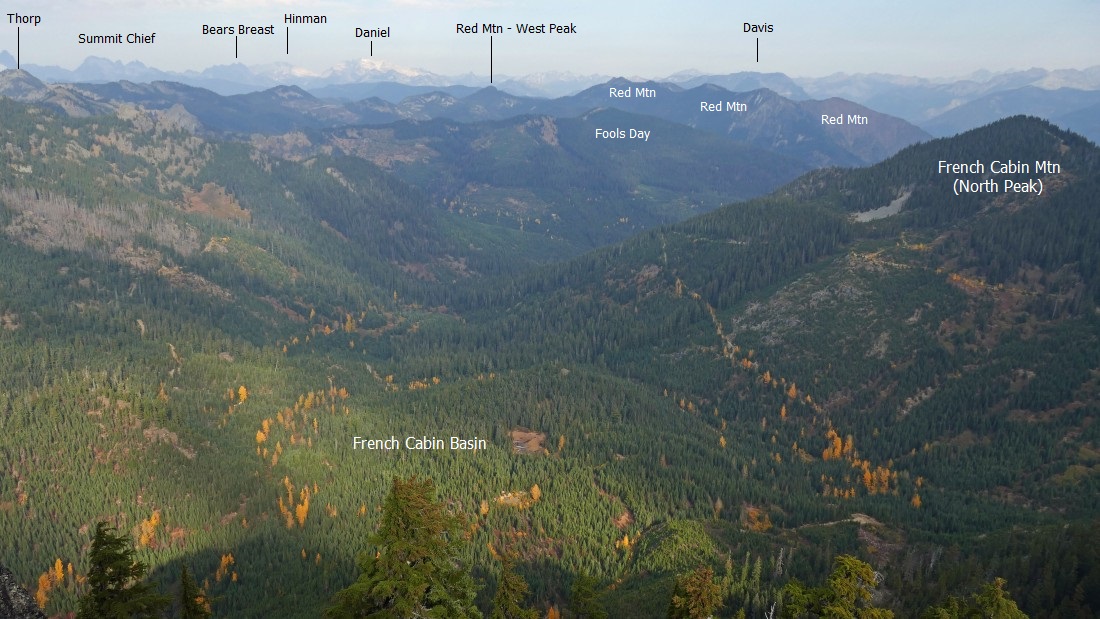
Looking north into French Cabin Basin from the West Peak of French Cabin Mountain... note how big Red Mountain is... with at least 6 distinct high points.
|
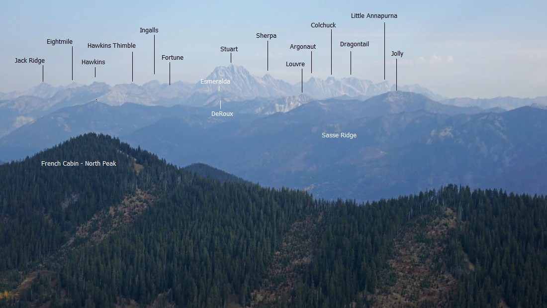
Looking northeast from the West Peak summit of French Cabin Mountain... very hazy today.
|
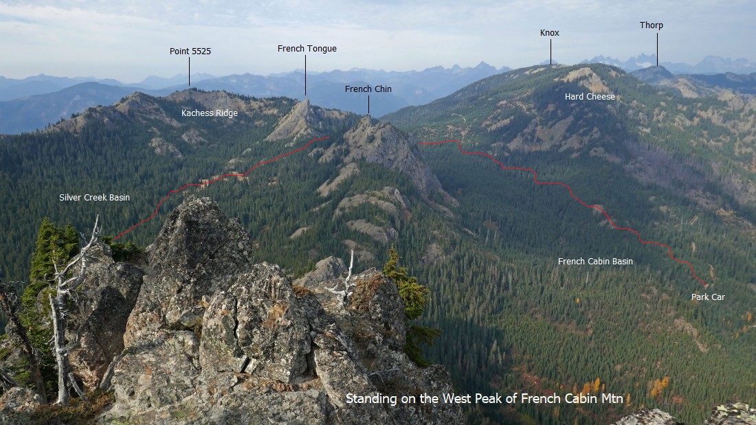
Looking west (left) to northwest (right) from the summit of the West Peak of French Cabin Mountain... and our approximate route from the car up to Kachess Ridge and on over to Silver Creek Basin.
|
A pano shot from the West Peak summit... west (left) to east (right).
|
Looking northwest from the West Peak summit of French Cabin Mountain.
|
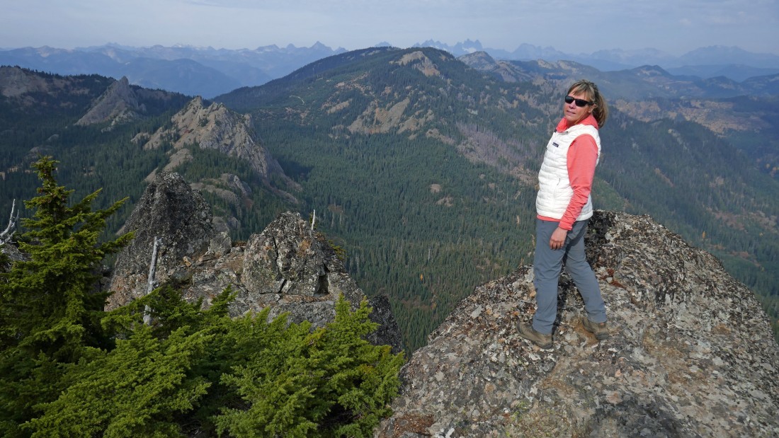
Snowdog on the summit of the West Peak of French Cabin Mountain.
|

Leaving the summit... we will take a more friendly route back to rejoin the Silver Creek Tie Trail.
|
Friendlier terrain on the way down... I believe that is Thomas Mountain in the left foreground.
|
Coming down from the West Peak summit.
|
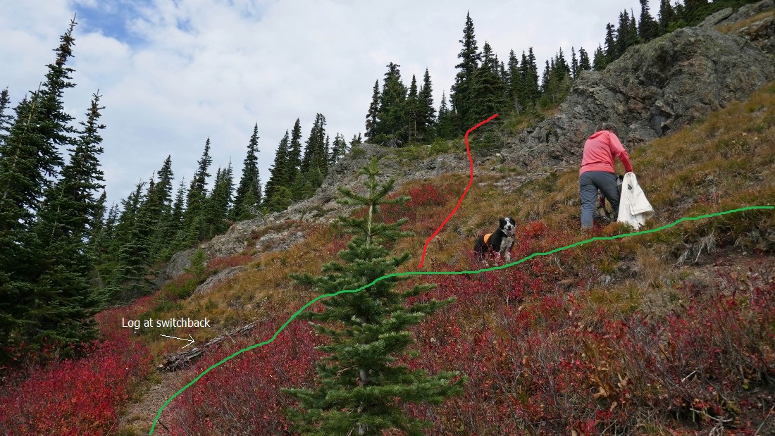
We came down the red line from the summit... the green line is the Silver Creek Tie Trail... note the down log at the switchback... this is where we should have headed up for the summit instead of continuing on over to the south ridge of the West Peak.
|
Back on the Kachess Ridge Trail in Silver Creek Basin... with French Tongue in the distance... the trail will take us over to the pass that separates Silver Creek Basin and French Cabin Basin.
|
Back on the French Cabin Basin side of the peaks... with a half-mile or so left to get back to the car... our total trip was 7.2 miles, gaining 2823 feet of elevation.
|
