Point 4627 and Point 4336 in The Maze - 1.4.2019
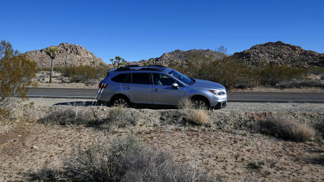
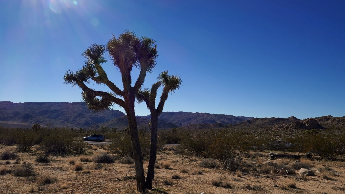
I parked along side Park Blvd... ~2.8 miles from the west entrance to Joshua Tree National Park... ~1 mile beyond the unsigned, but official trailhead for The Maze... my targets will be Point 4336 (left foreground) and Point 4627 in the distance in the center of the photo.
|
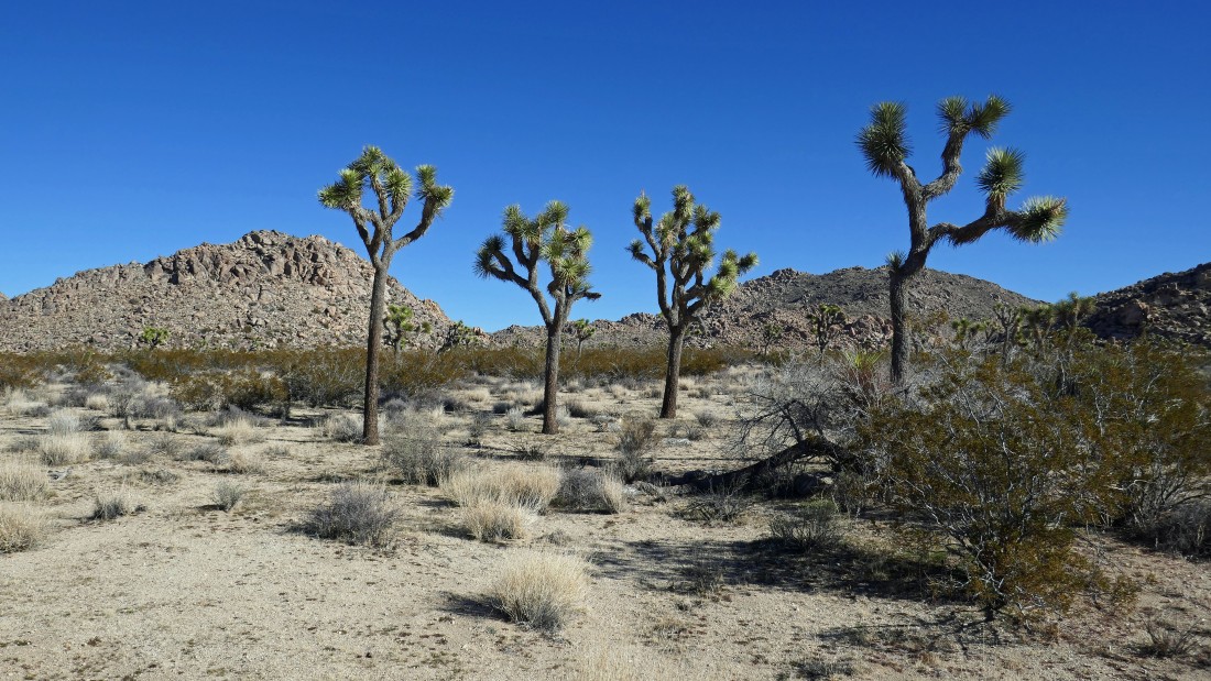
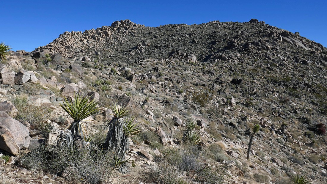
I will pass by Point 4336 (left) and first go for Point 4627... the high point of 4627 is up there between the two Joshua Trees on the right.
|
Passing by Point 4336 on my way to Point 4627... I'm taking a good look at 4336 to try and figure out how I might be able to get to the top... a snow covered San Gorgonio Mountain is on the far left horizon.
|
Past Point 4336 now... weaving my way past boulders on my way to Point 4627... not even sure that I can see the summit from here.
|
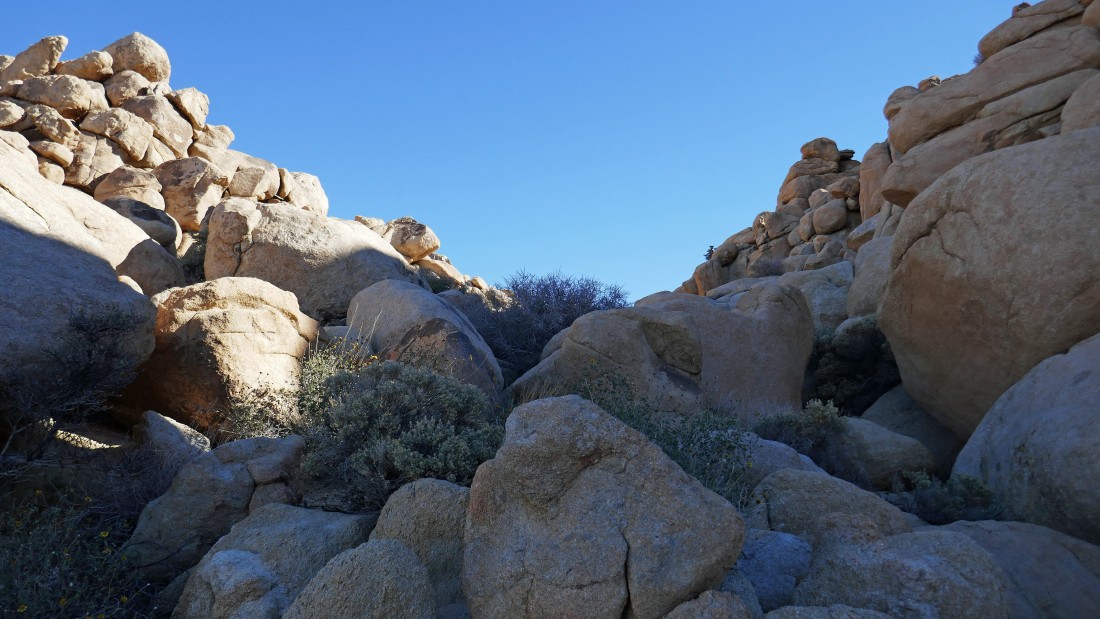
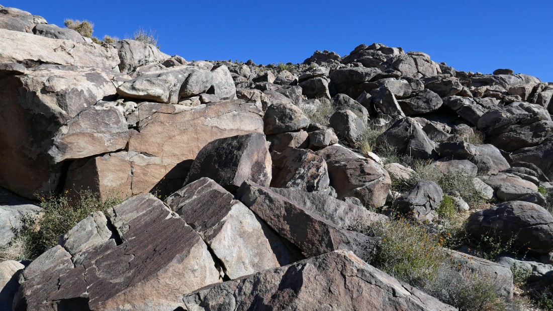
Some big boulders on my route.
|
|
Still can't see the high point on 4627.
|

Looking back at Point 4336 (the pile of rocks beyond the pile of rocks in the foreground) as I continue up toward Point 4627.
|
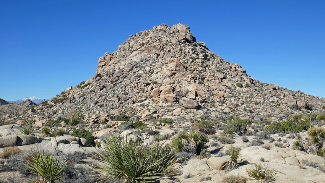
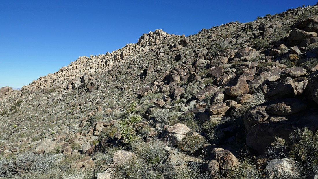
Now I have a pretty good look at Point 4627... is the high point that pile of rocks on the left... or is it over toward the right?... I will continue on up toward the pile on the right.
|
Heading for the pile of rocks on the right and looking over at the pile of rocks in the center of the photo.
|
Fun scrambling on my way up to the ridge on Point 4627.
|
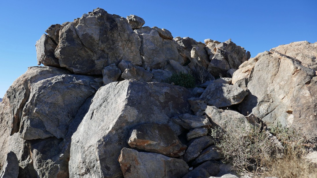
On the ridge of Point 4627... I will scramble up this pile of rocks on the ridge, but I already know that it isn't Point 4627.
|
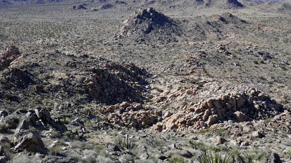
A pano from the first pile of rocks that I scrambled... Point 4627 is in the far left foreground... looking NE to the Wonderland of Rocks.
|
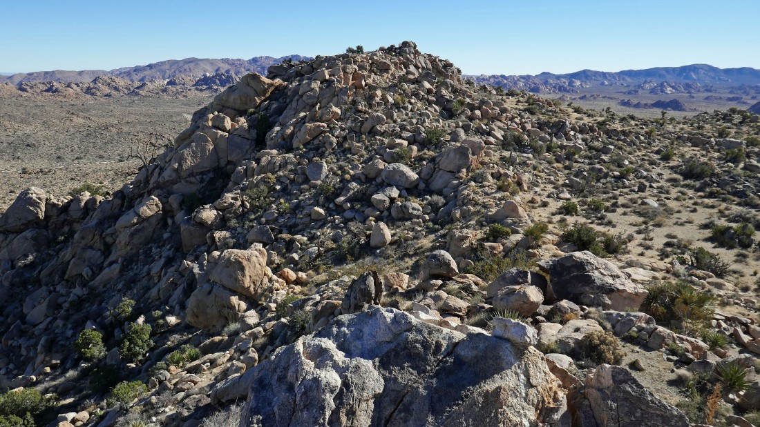
Nearing the summit of Point 4627... I can't remember how I got to the top from here, but it wasn't any more difficult than Class 2.
|

On the summit of Point 4627... looking NE to that impressive looking pile of rocks in the foreground that are on the NE end of the 4627 summit area... and beyond to the ridge I was on the day before when I did Point 4508.
|
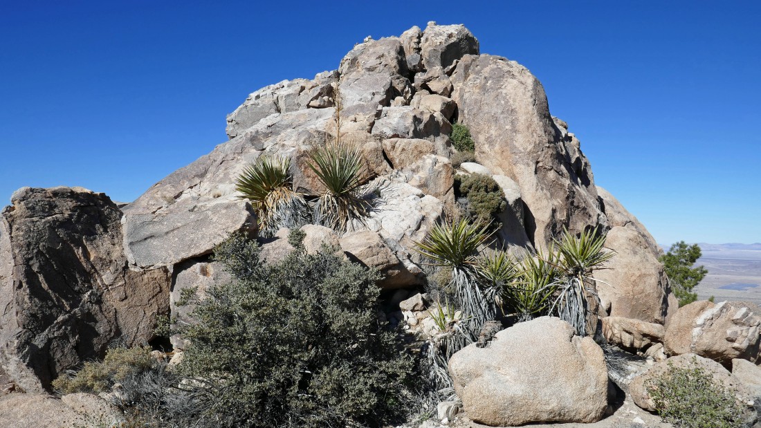
Nearing that impressive pile of rocks on the NE end of the 4627 summit area.
|
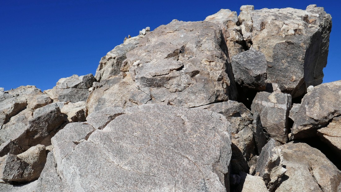
Closer to the top... I was able to go around to the left to reach the top.
|
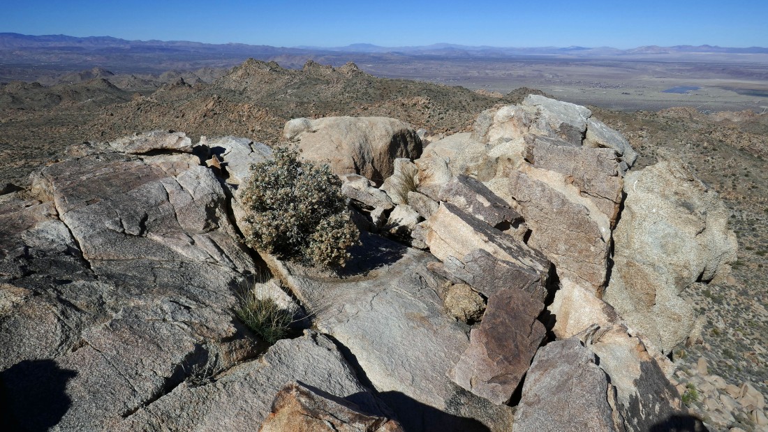
On top of the pile of rocks on the NE end of the 4627 summit area... looking NE at the ridge I was on the day before.
|
Looking back at Point 4627 from the NE end of the ridge.
|
Time to head down and see if I can find a route up to Point 4336 at the top of the photo.
|
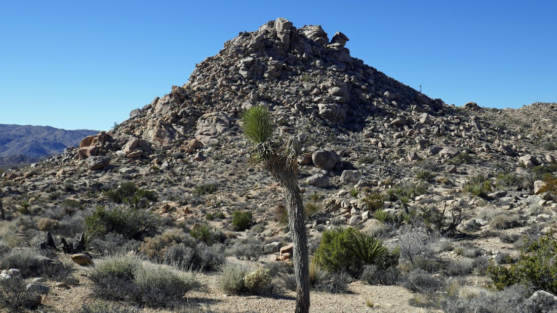
Nearing Point 4336... I'm just going to take a fairly direct route from here.
|

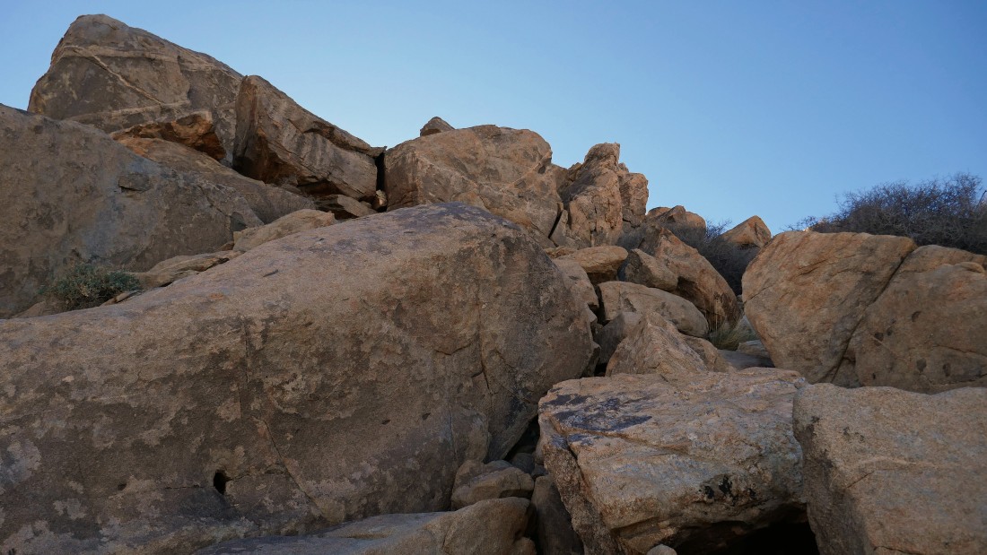
Starting to scramble up Point 4336... whoa, is that Jaws waiting for me up near the top?
|
Nearing the top of Point 4336.
|
Looking back at Point 4627 from the top of Point 4336.
|

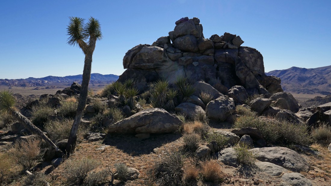
On the summit of Point 4336... looking across Park Blvd to the Little San Bernardino Mountains behind the rock piles in the foreground.
|
Almost back to the car... my loop trip was 2.6 miles, gaining 886 feet of elevation.
|
