Point 3245 above the Big Morongo Canyon Preserve - 1.7.2019
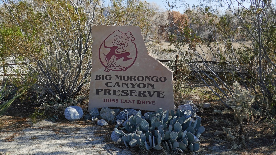
Big Morongo Canyon Preserve is located in Morongo Valley... an approximate 20 mile drive from Palm Springs... just off of Hwy 62.
|
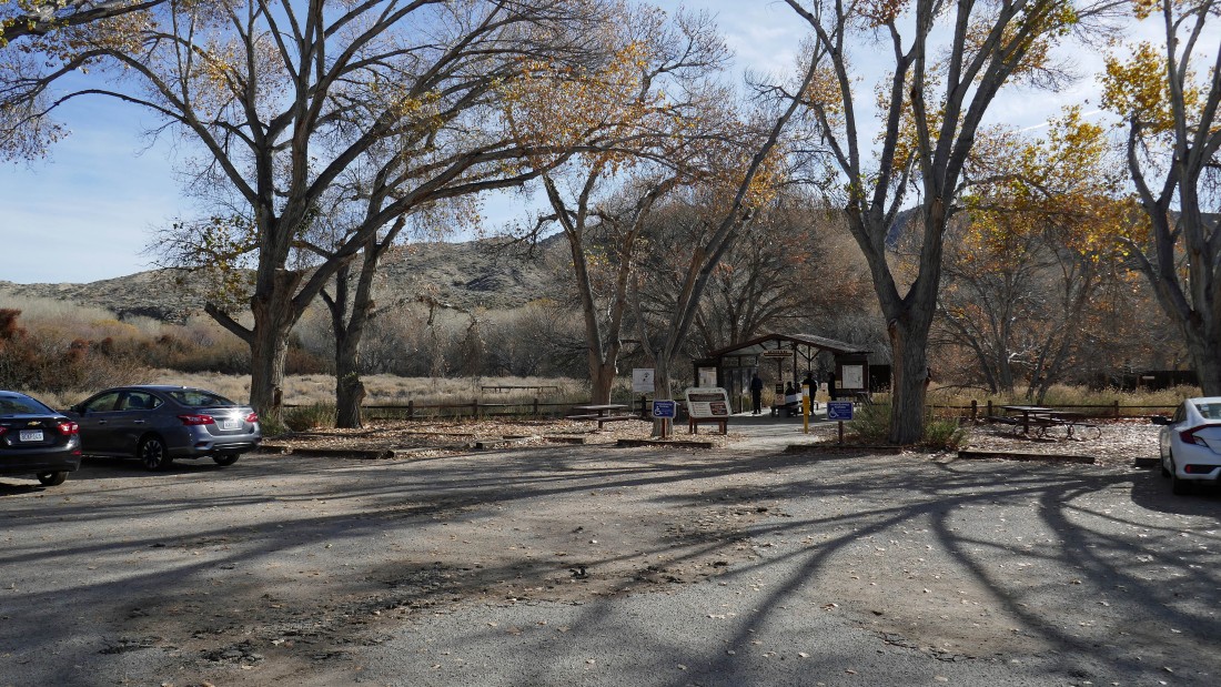
There is a kiosk at the parking area that provides information on the area... there are several short trails in the preserve.
|
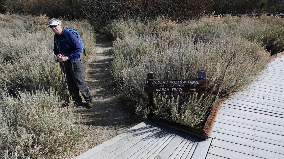
After walking a very short distance from the kiosk on the Marsh Trail, we took the Desert Willow Trail.
|
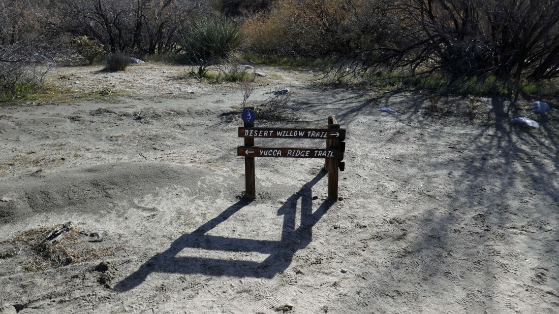
After hiking the Desert Willow Trail for a little over a quarter-mile, we took the Yucca Ridge Trail.
|
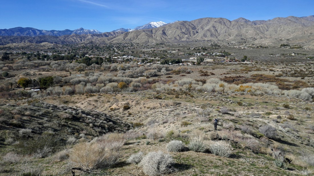
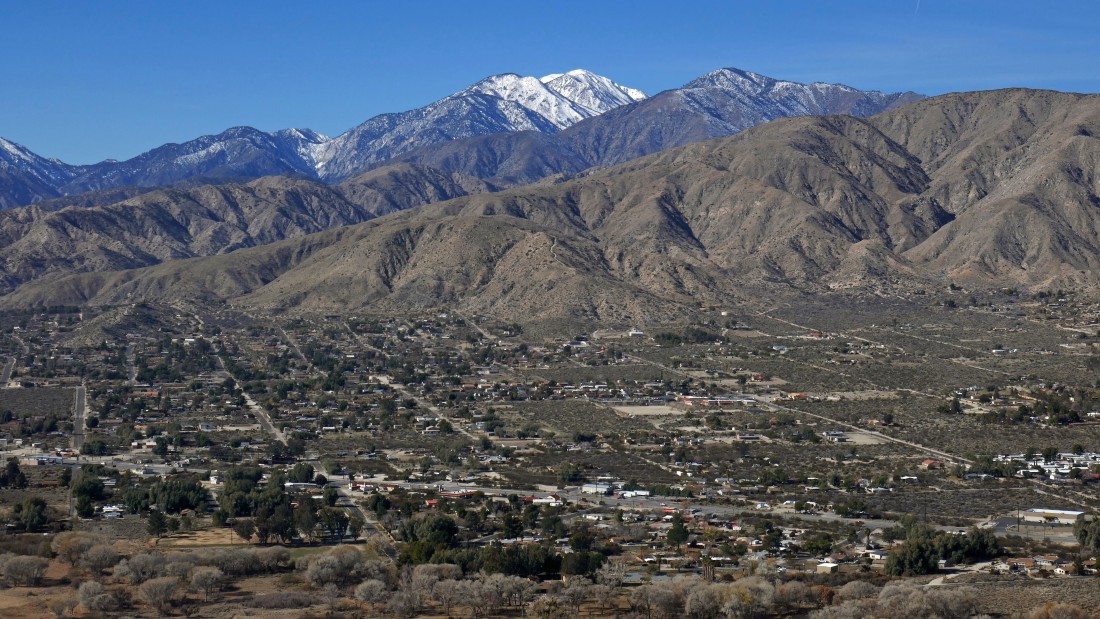
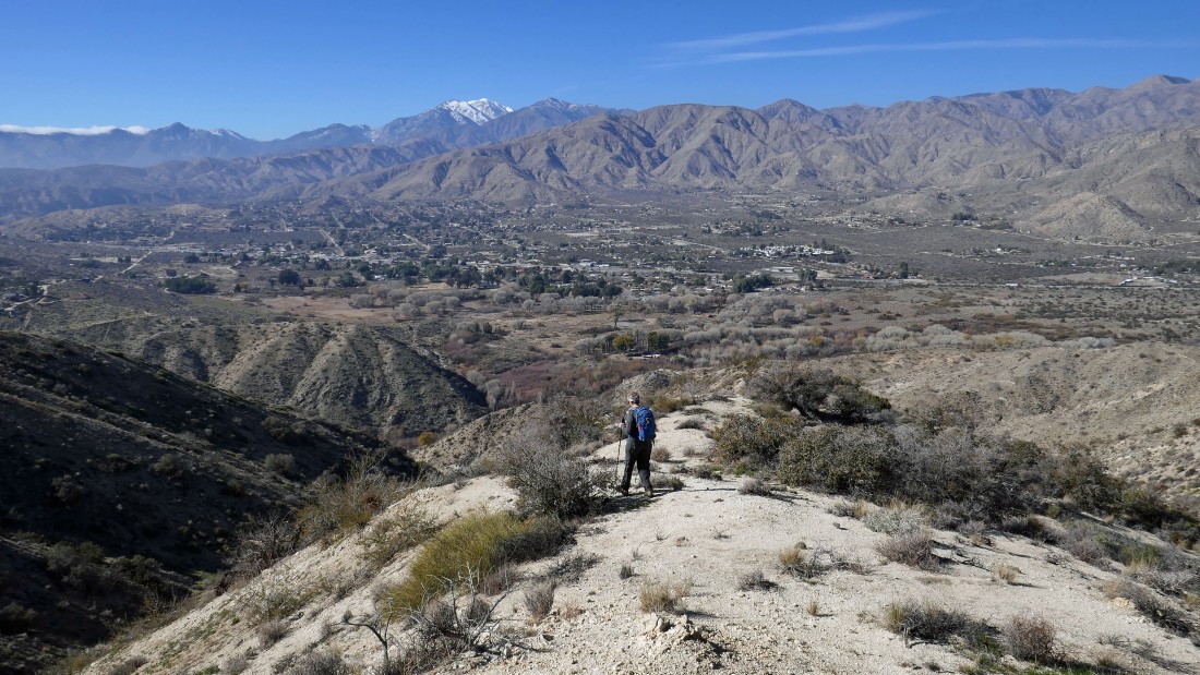
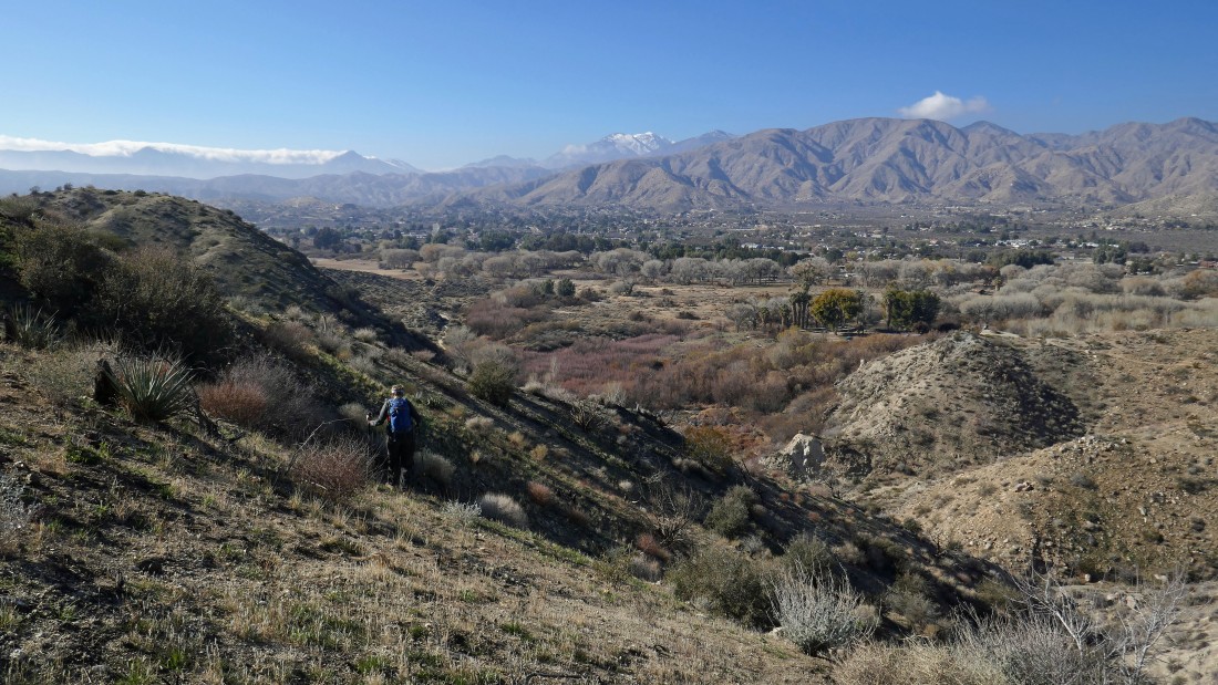
We stayed on the Yucca Ridge Trail for a quarter-mile or so... then decided to leave the main trail and head cross country toward the ridge above... here we are looking accross Morongo Valley to the San Gorgonio Wilderness... the snow covered peak is San Gorgonio Mountain.
|
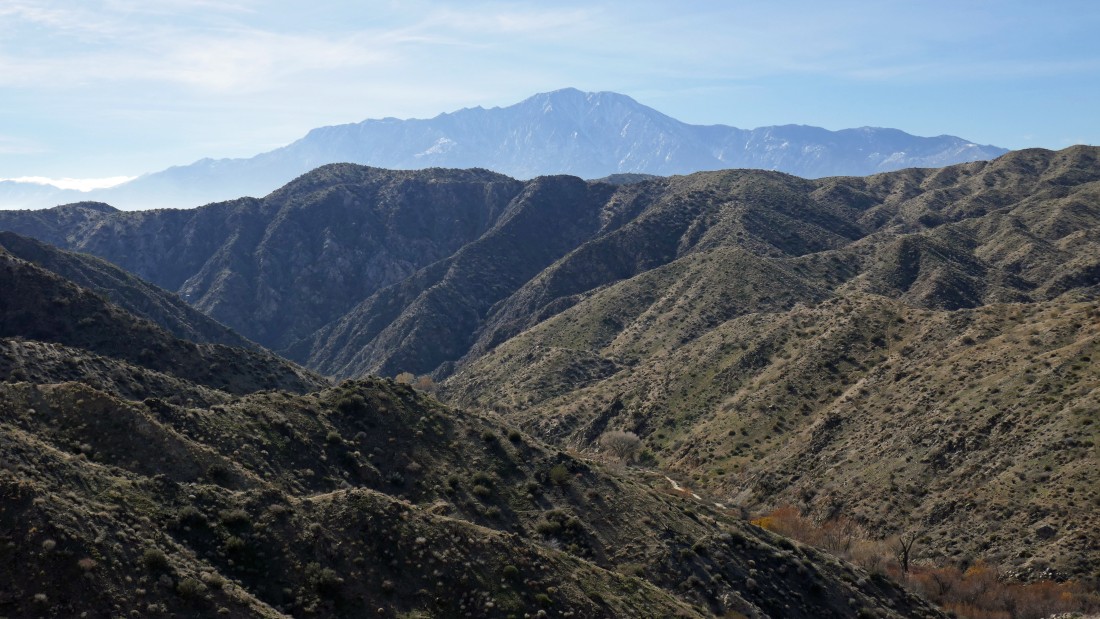
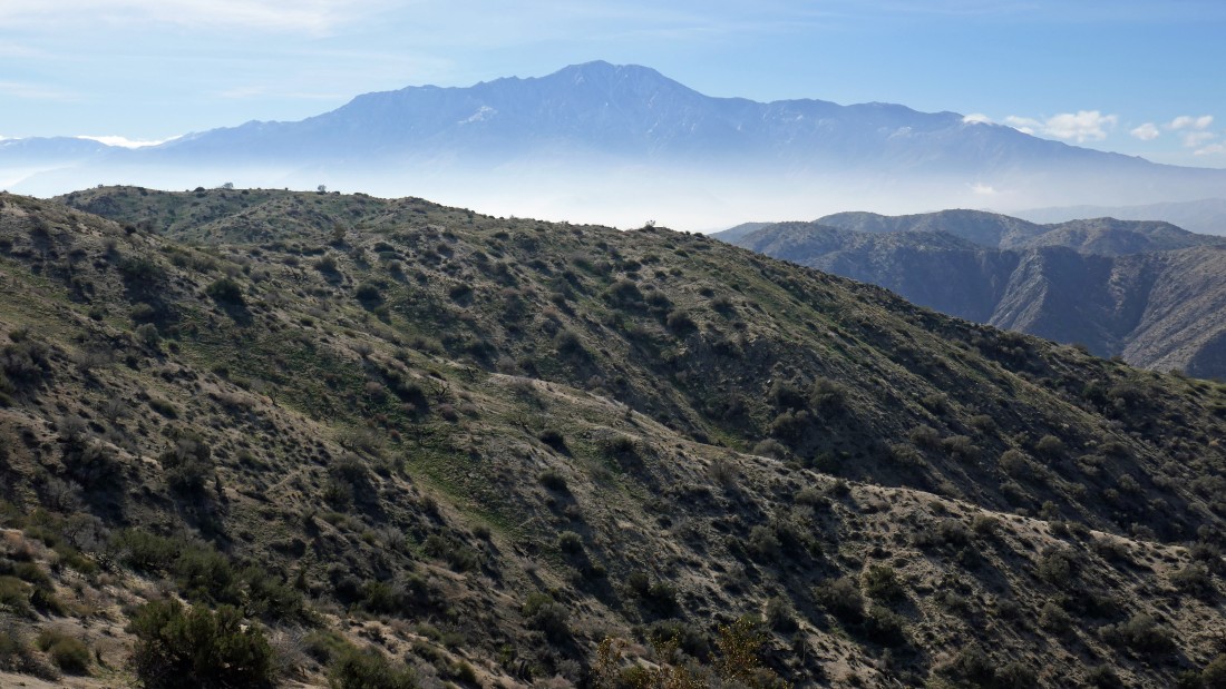
Continuing our way up to Point 3245... here looking across the Little San Bernardino Mountains to the San Jacinto Mountains on the horizon.
|
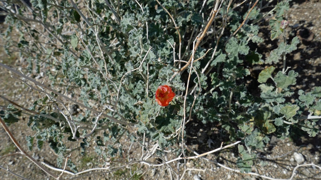
I believe you are looking at a desert mallow.
|
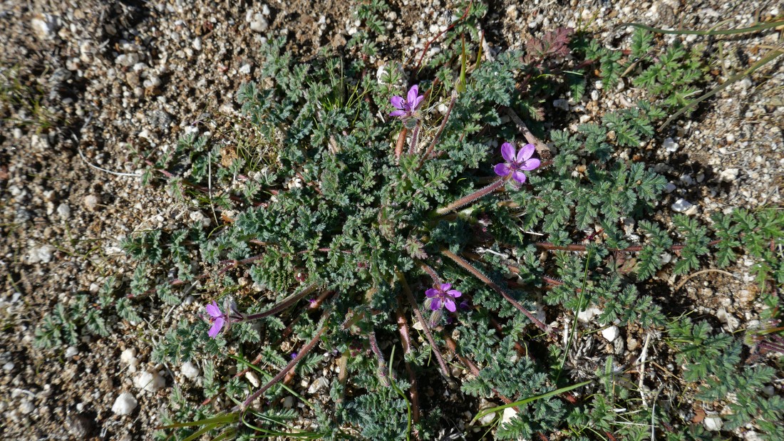
Pretty, but no idea... maybe purpe mat.
|
No idea.
|
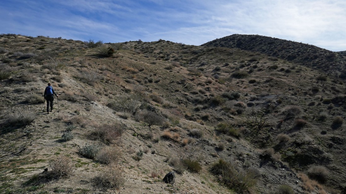
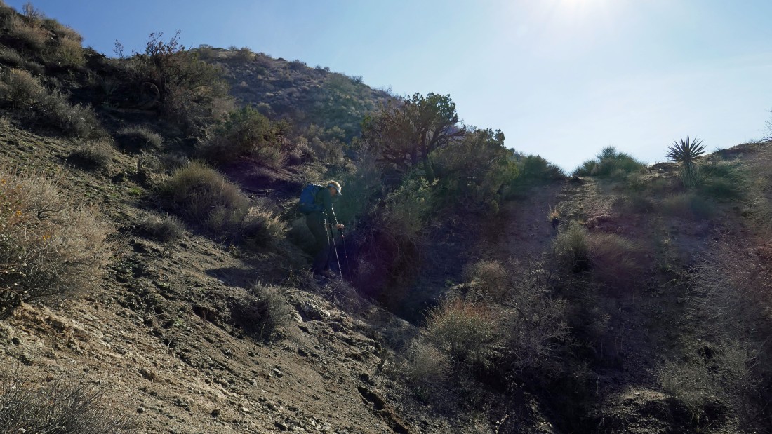
Denali Girl continues up toward Point 3245 above.
|
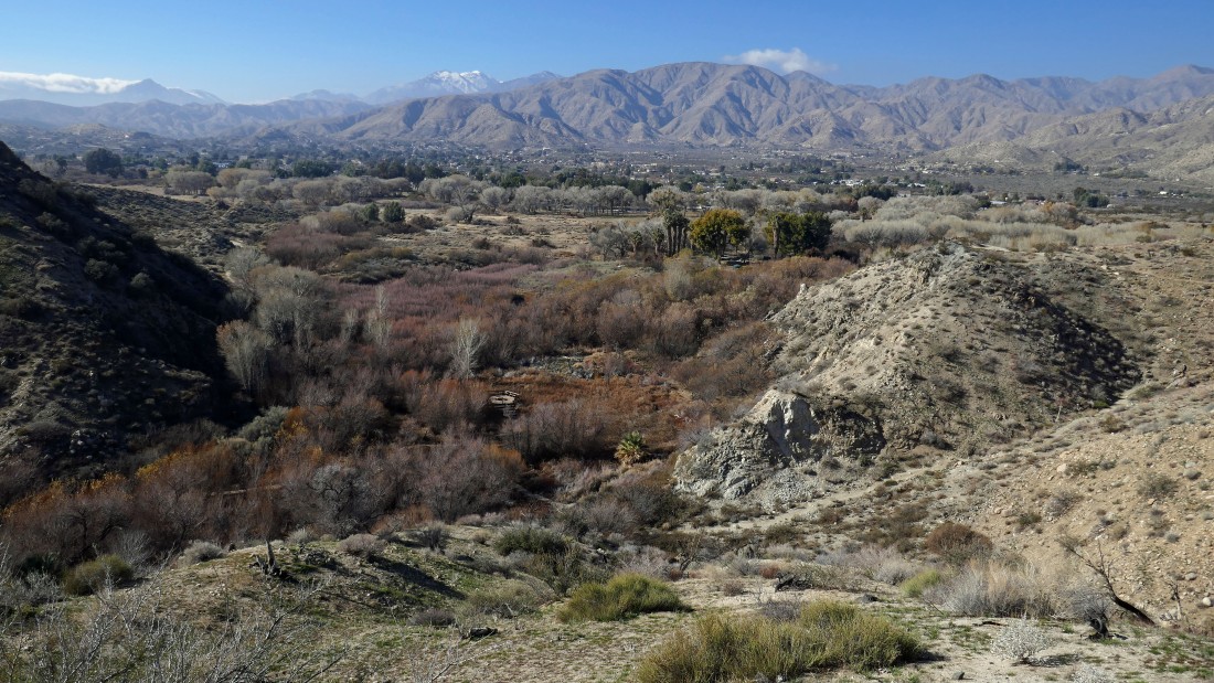
Gaining elevation... looking down on the Big Morongo Canyon Preserve... and across Morongo Valley to the San Gorgonio Wilderness.
|
Looking over at the San Jacinto Mountains... looks like a cloud cover is on top of Palm Springs.
|
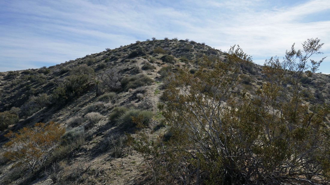
Nearing the top of Point 3245... which will be our high point for the day.
|
A pano shot from Point 3245... looking across the Little San Bernardion Mountains to the San Jacinto Mountains on the left and to the San Gorgonio Wilderness on the right.
|
Looking east (left) across the Little San Bernardino Mountains toward Joshua Tree National Park... with the San Jacinto Mountains (right) to the south.
|
|
Looking across Morongo Valley to the San Gorgonio Wilderness from Point 3245.
|
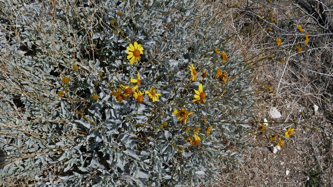
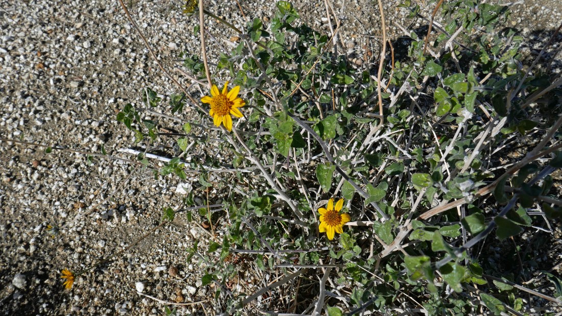
No idea what we have here... but it is yellow.
|
We walked along the ridge for awhile... here we are looking back at Point 3245 (our high point) on the far left.
|
We are starting back down to the preserve... we decided to follow a different rib on the way down than the one we used to get up to 3245.
|
Our descent was a little awkward in places.
|
Almost down to the desert floor.
|
We will rejoin the Yucca Ridge Trail below.
|
Once we got back on the Yucca Ridge Trail we took the Mesquite Trail... here looking back at our cross country route (left-to-right) up to Point 3245 in the distance.
|
Looking back at Point 3245 from the education center at the preserve.
|
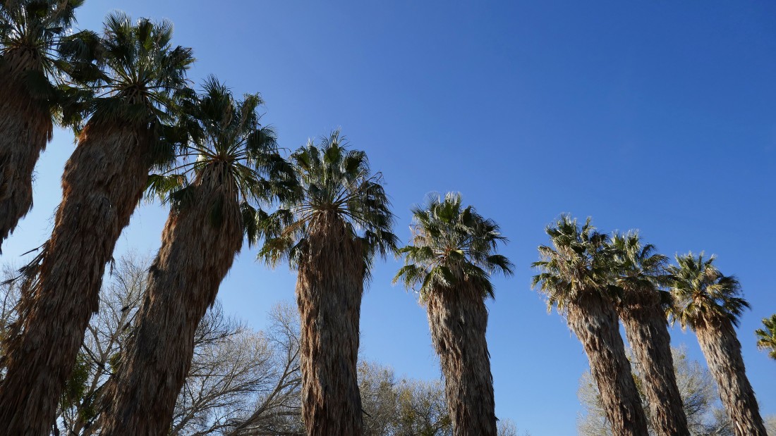
A nice row of fan palms at the education center... leaving a short walk to the car... where we will close our loop hike... the trip was 3.3 miles, gaining 1014 feet of elevation.
|
