Pine City, Point 4769 and Point 4875 - 1.9.2019
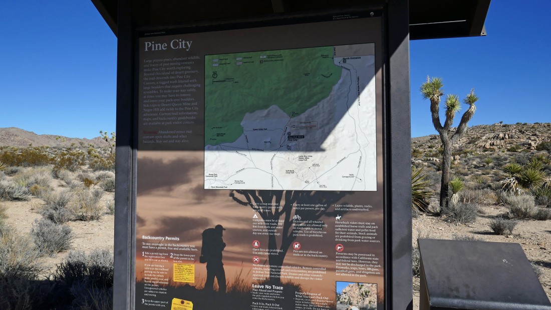
From Park Blvd in Joshua Tree National Park... drive 1.3 miles on the Desert Queen Mine Road and park at the end of the road... which is a shared trailhead for Pine City, Desert Queen Mine and Eagle Cliff Mine.
|
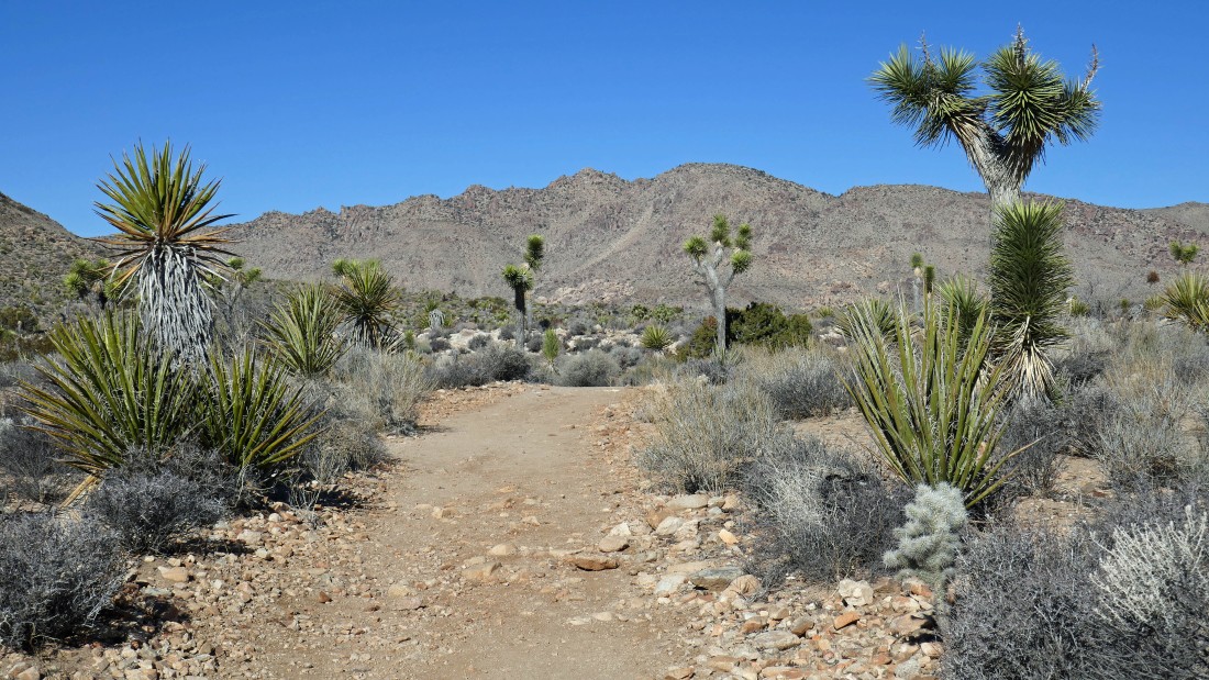
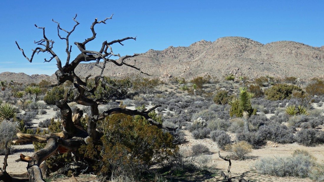
The trail to Pine City follows an old abandoned road.
|
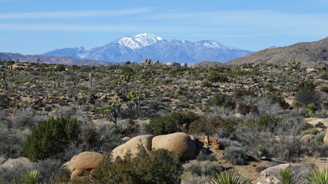
On the Pine City Trail... a close up of San Gorgonio Mountain in the distance.
|
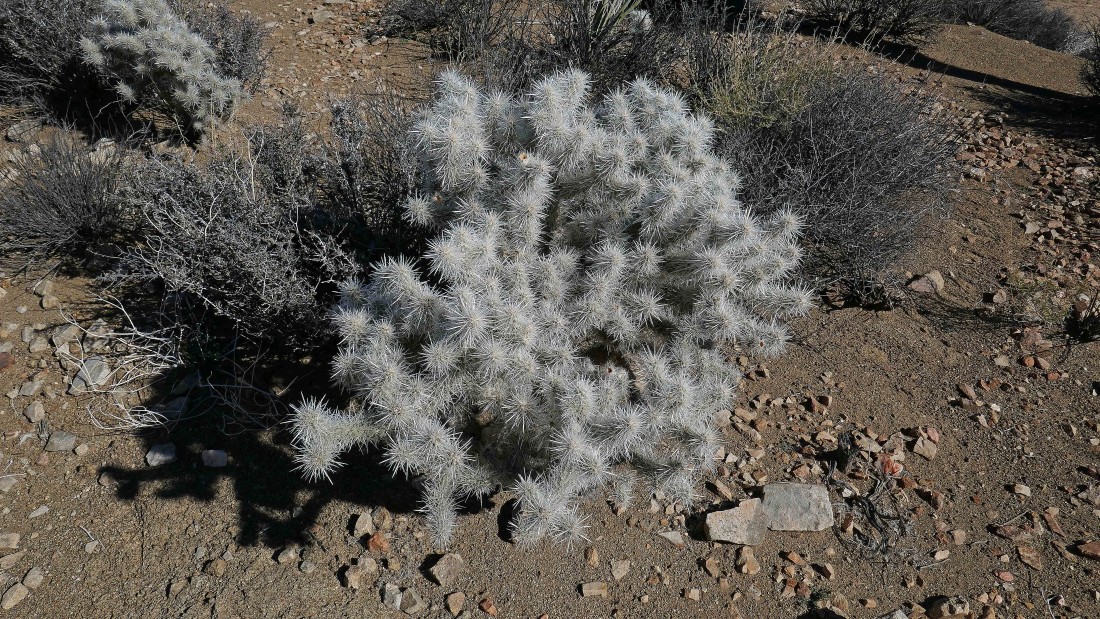
Cholla cactus.
|
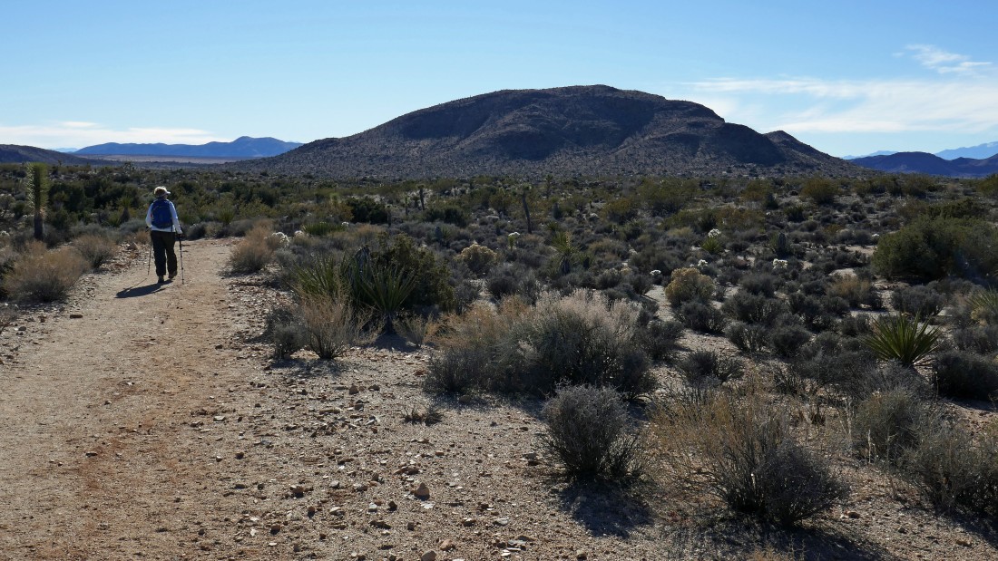
On the Pine City Trail... looking NW to Queen Mountain.
|
|
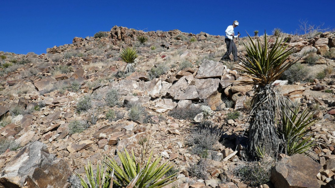
Denali Girl is hiking toward me on the Pine City Trail... Queen Mountain is on the right... Point 4875 is on the left... and I'm thinking about doing that on the way back to the car.
|
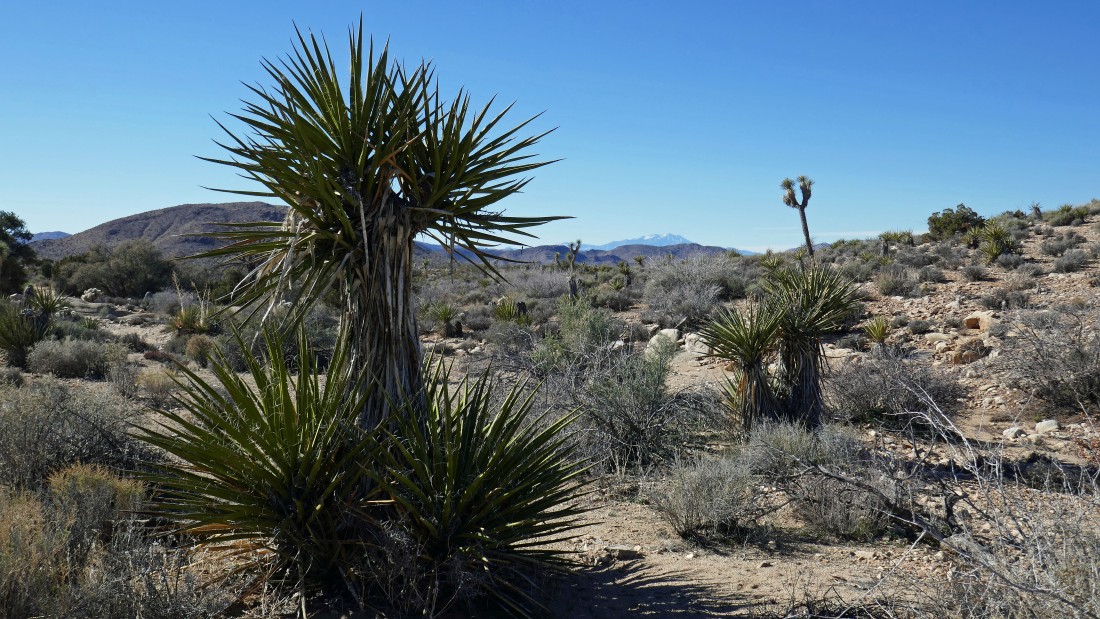
Yucca cacti... with Point 4875 on the left... San Gorgonio Mountain is on the horizon in the center of the photo.
|
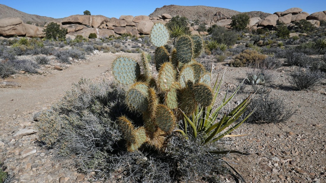
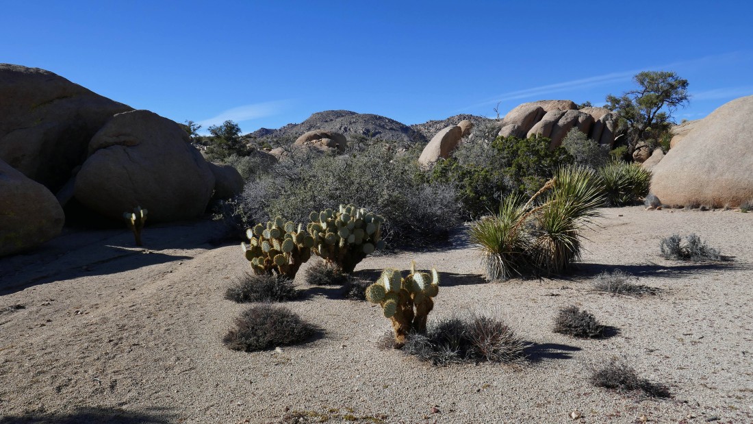
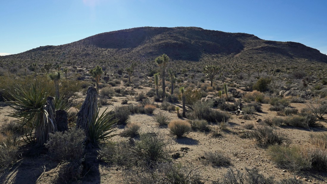
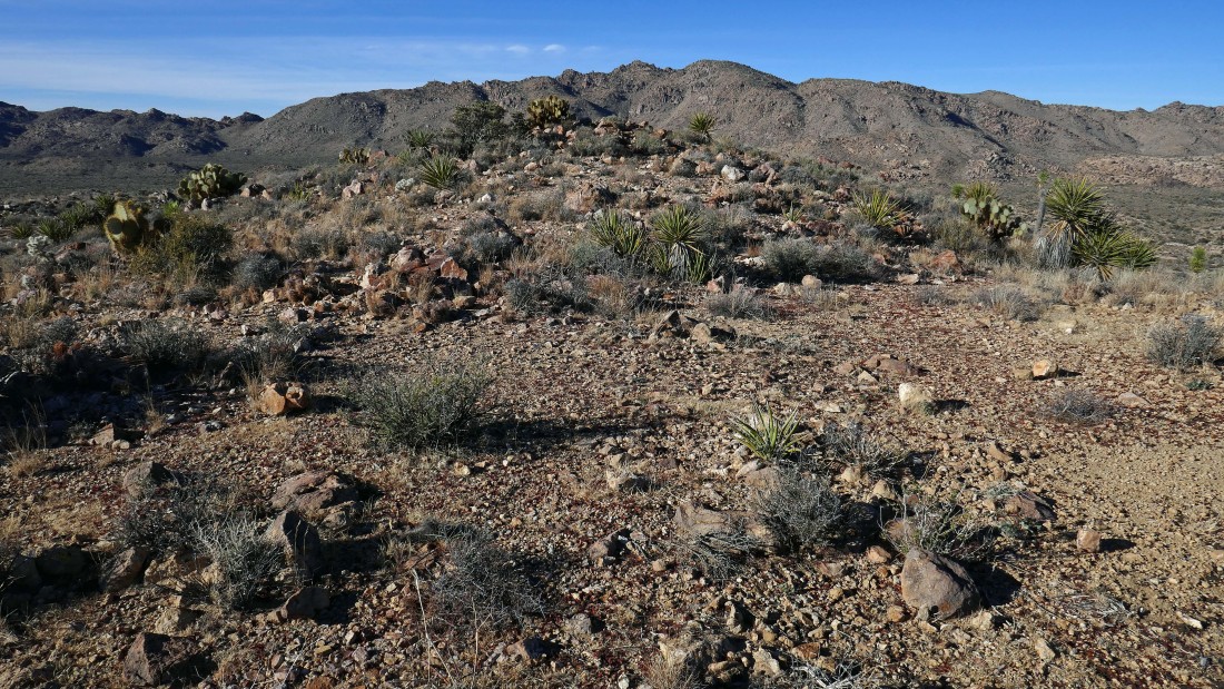
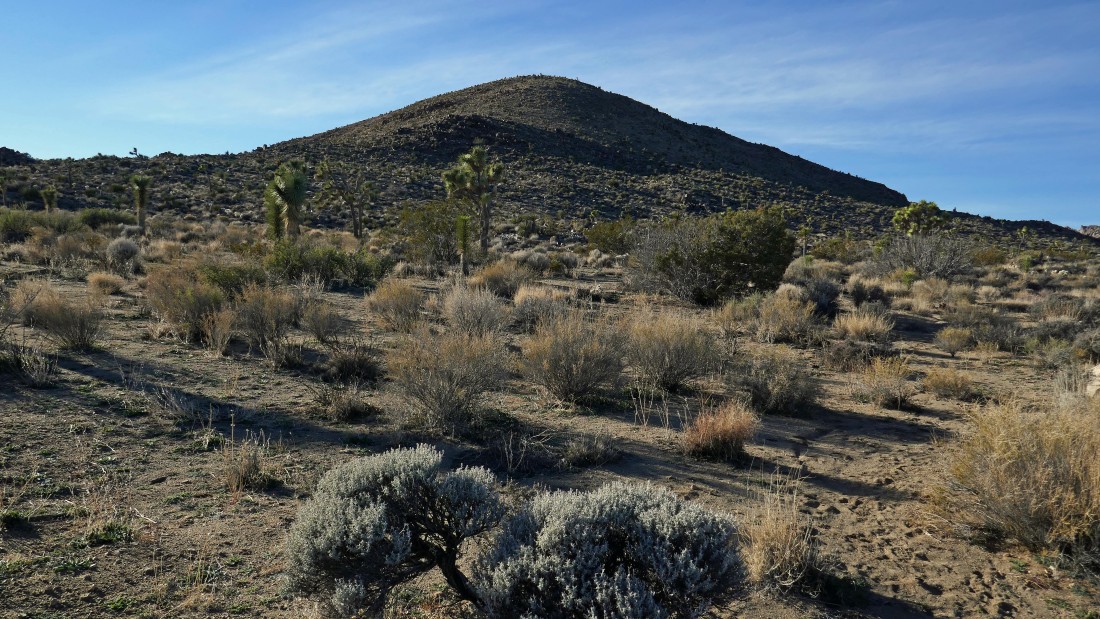
A prickly pear cactus greets us at Pine City after hiking ~2 miles... we will hike through Pine City and do Point 4769 in the distance.
|
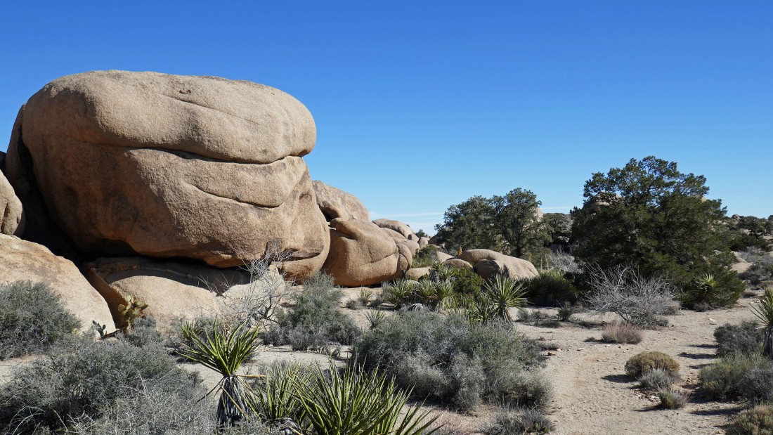
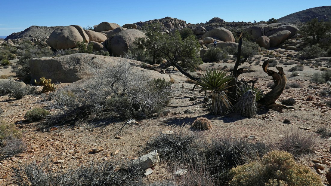
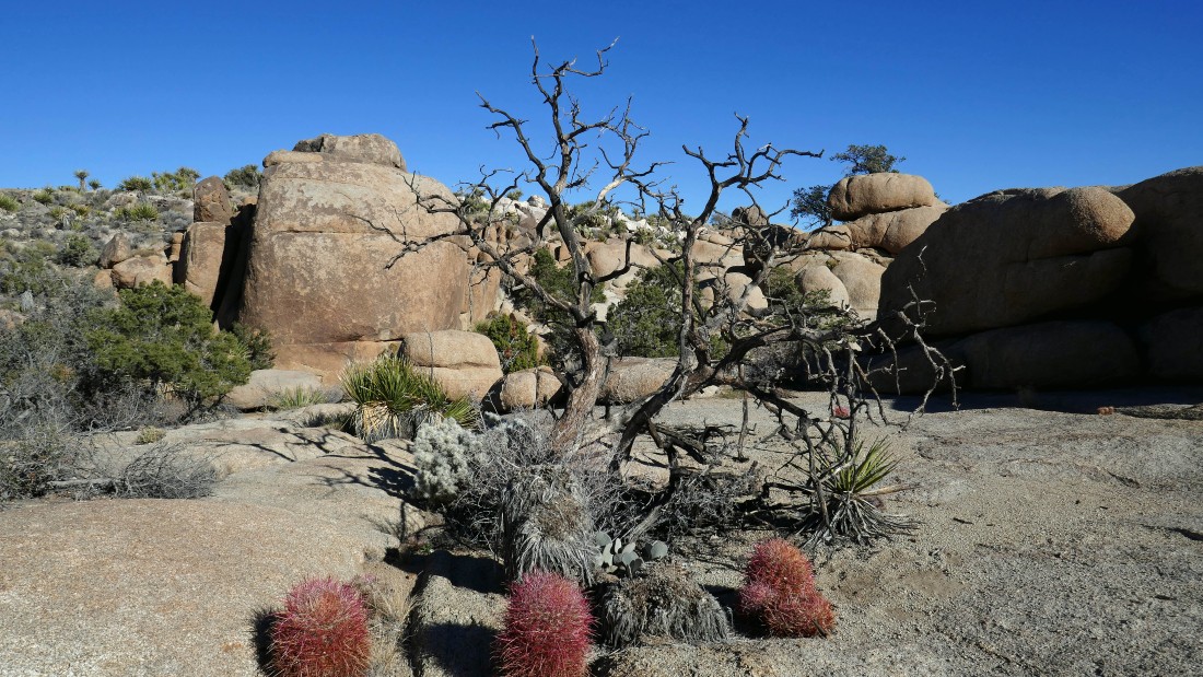
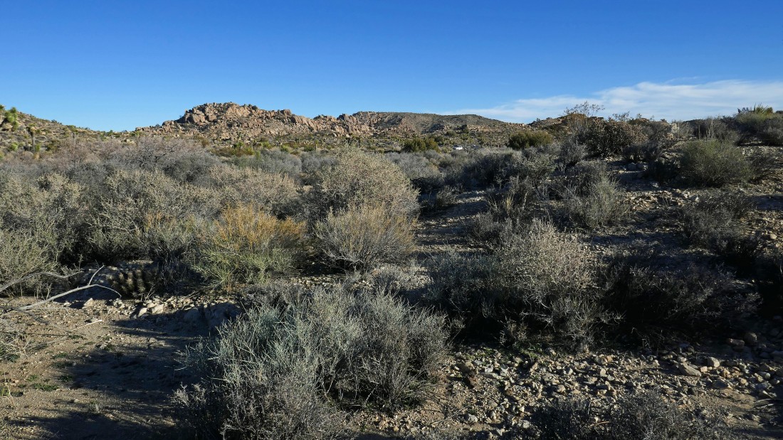
There are lots of big rocks and pine trees in Pine City... but there is no city.
|
A pano shot of Pine City... with Point 4769 on the far left.
|
For perspective... Denali Girl is standing on a rock in the center of the photo.
|
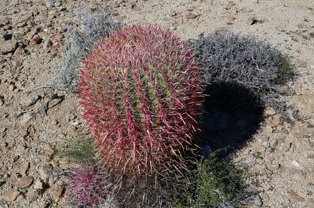
Barrel cactus.
|
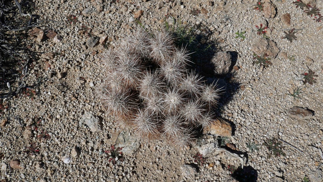
Hedgehog cactus.
|
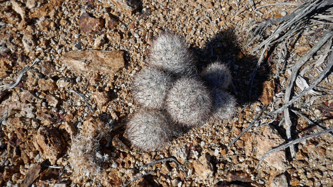
Foxtail cactus.
|
Queen Mountain dominates the skyline from Pine City... with Point 4769 on the far right.
|
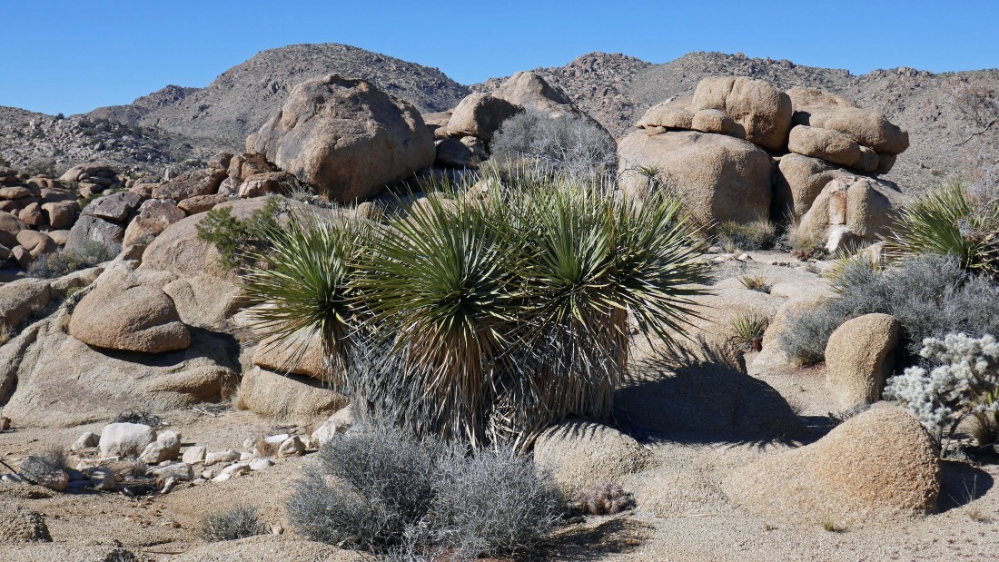
A trio of yucca cacti, large rocks and Queen Mountain from Pine City.
|
Point 4875 on the extreme far left... with Queen Mountain in the center... we are standing above a small canyon in this photo.
|
The east end of Queen Mountain on the left and Point 4769 on the right... a large canyon runs down toward Yucca Valley between the two.
|

Heading for Point 4769.
|
Beavertail cactus.
|
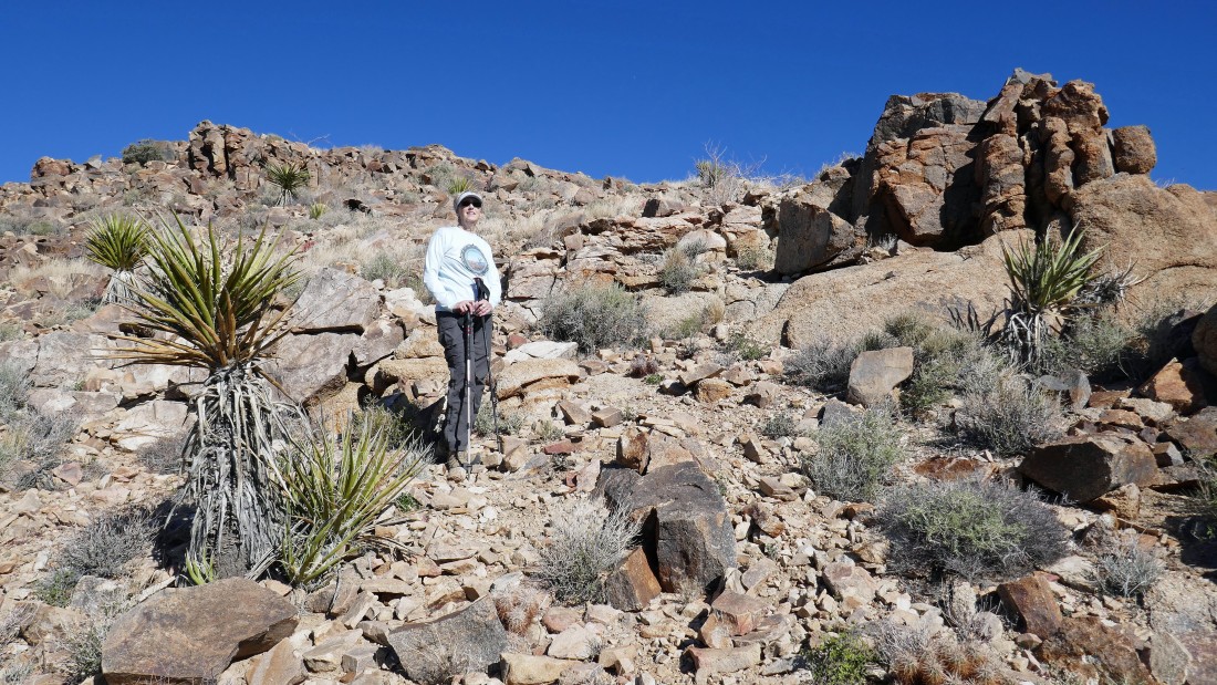
Heading up toward Point 4769.
|
Denali Girl standing on top of Point 4769... with Queen Mountain in the distance on the left.
|

Lots of nice barrel cacti and yucca cacti on the flatish summit area of Point 4769... Queen Mountain on the right... with San Gorgonio Mountain on the left horizon.
|
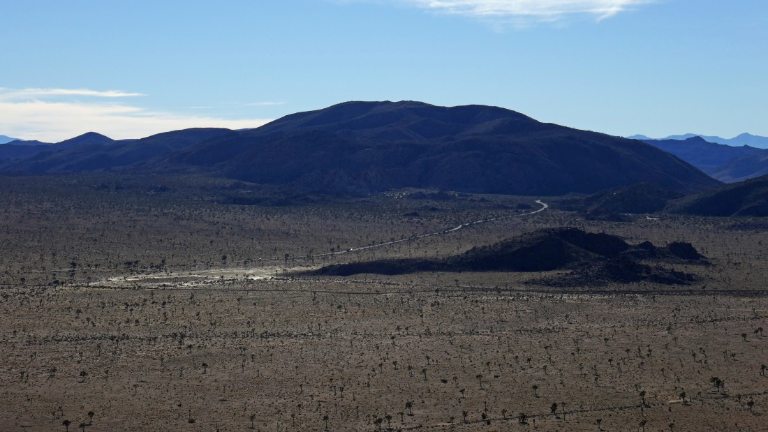
The town of Twentynine Palms and Yucca Valley are on the far left... Twentynine Palms Mountain is left-center... and part of the Pinto Mountains are on the right-center... the rocky area in the right foreground is an abandoned mining area.
|
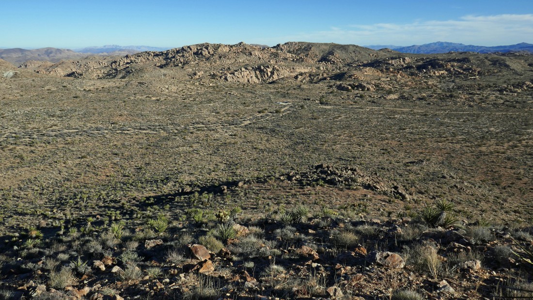
Still on the Point 4769 summit area... looking west toward Queen Mountain on the right... and south to Point 4875 and Ryan Mountain in the center of the photo.
|
|
Looking north to the town of Twentynine Palms and Yucca Valley.
|
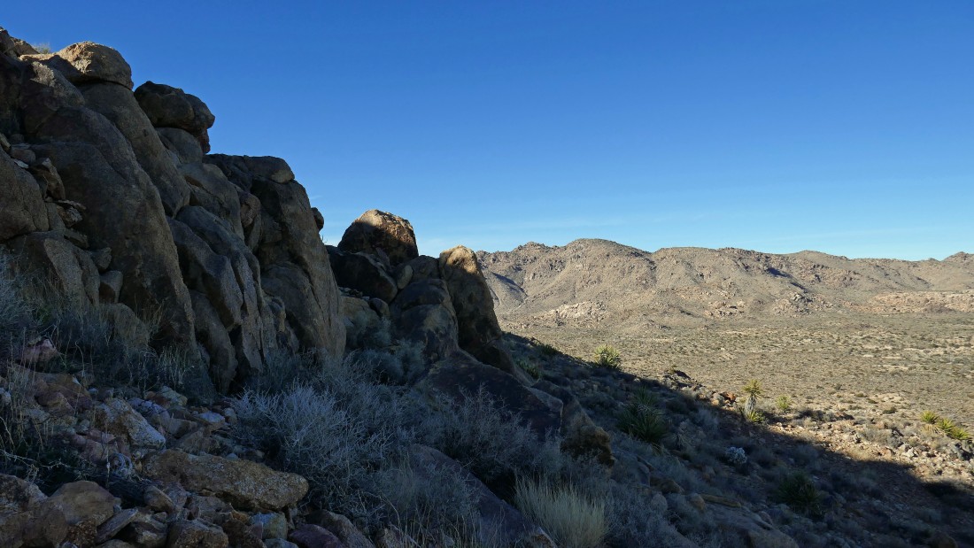
A closer look at the mining area just NE of Point 4769.
|
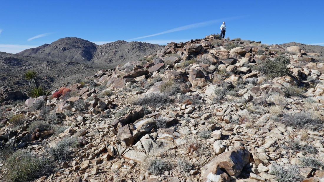
Tracing our steps back down from the top of Point 4769.
|
Back at Pine City... we decided to hike into the center of the city to do a little Pine City loop.
|
In the heart of Pine City... Queen Mountain on the horizon.
|
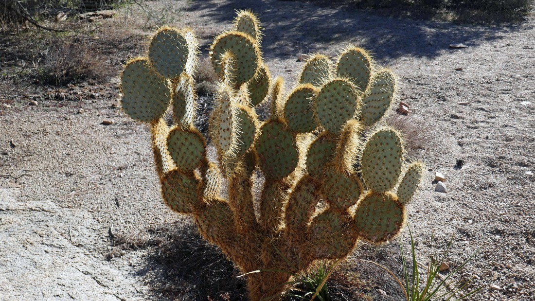
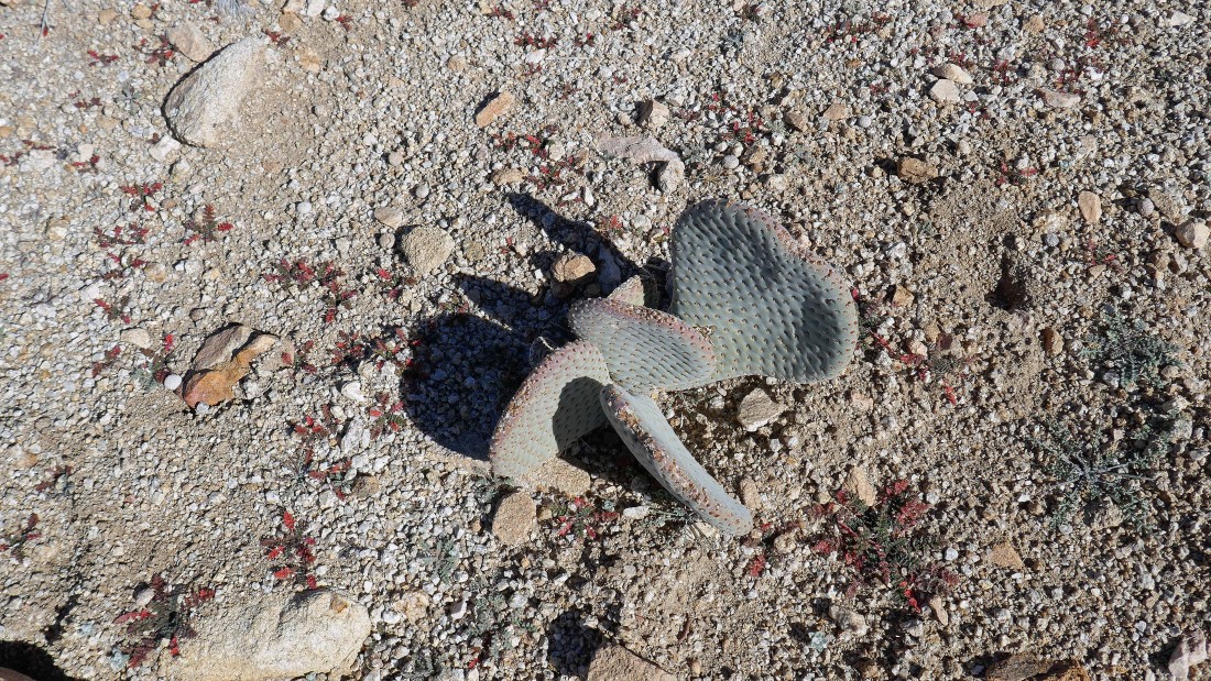
Prickly Pear Cactus in Pine City.
|
We have left Pine City and are heading back toward the car... Point 4875 is calling me.
|
Heading cross country on my way to Point 4875.
|
Heading up Point 4875... here looking north to Queen Mountain.
|
Ascending Point 4875... looking east toward the parking lot and the rocky area where the Desert Queen Mine and Eagle Cliff Mine are located.
|
On the flatish summit area of Point 4875... heading toward the actual high point... with Queen Mountain beyond.
|
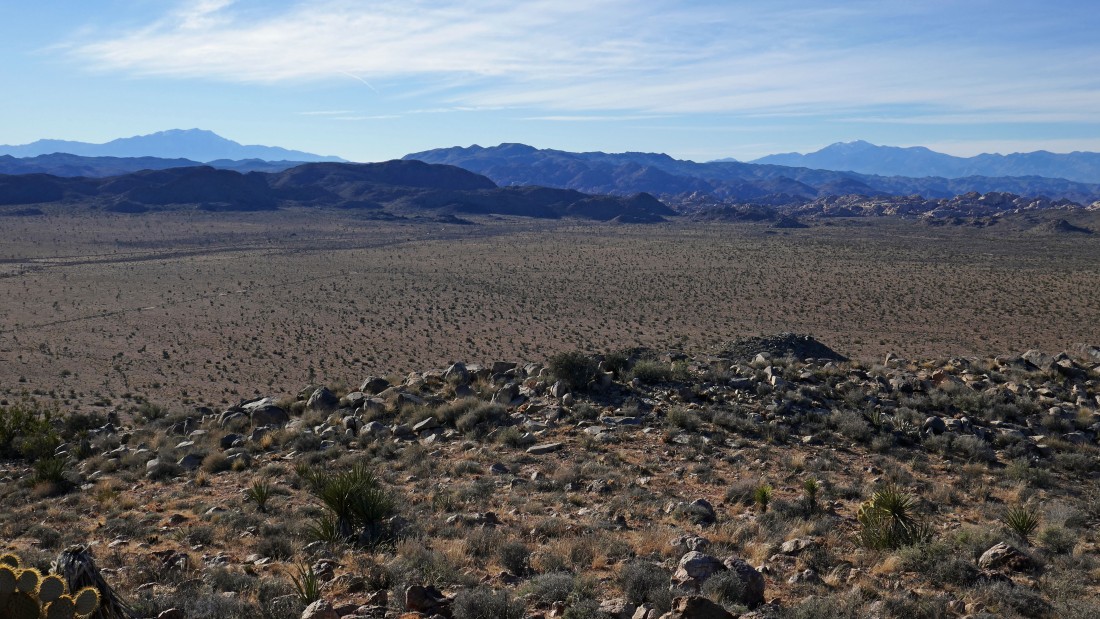
On top of Point 4875... looking down on a very broad Queen Valley... Ryan Mountain is in the right-center of the photo... with San Jacinto Mountain and San Gorgonio Mountain on the right horizon.
|
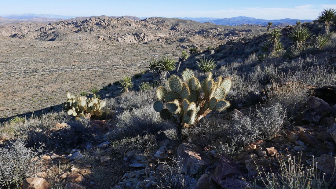
Looking NW across Queen Valley to Queen Mountain on the left... and NE to Point 4769 on the right.
|
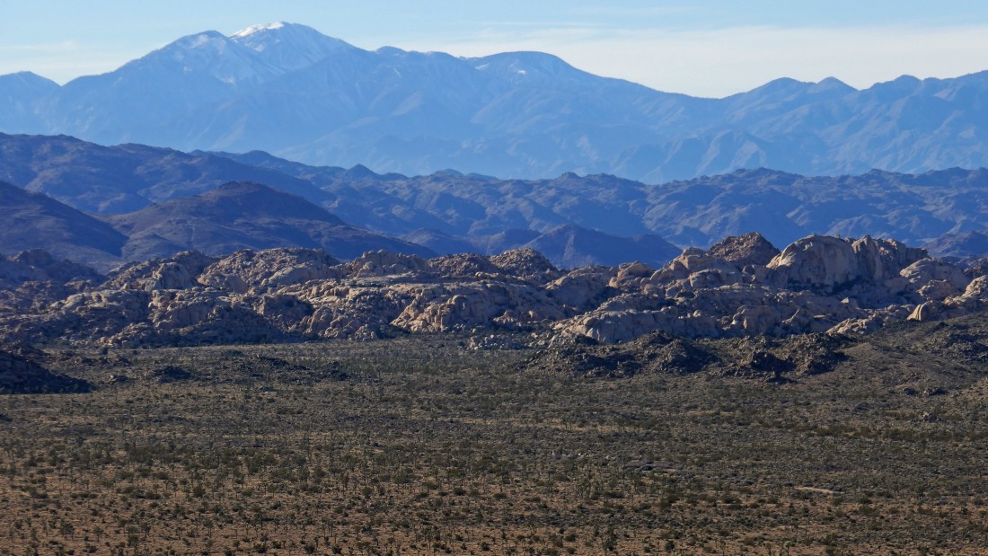
Not a very good photo... but this a close up of the Wonderland of Rocks in the foreground... then the Little San Bernardino Mountains behind the wonderland... and finally the San Gorgonio Mountain and Wilderness on the horizon.
|
A closeup of Ryan Mountain from Point 4875.
|
San Jacinto Mountain on the far left... Quail Mountain in the center... and San Gorgonio Mountain on the right.
|
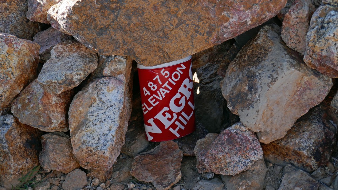
Summit register on Point 4875.
|
Heading down the more gentle east ridge or Point 4875... with the parking lot a short way off in the distance.
|
Looking back at the east ridge of Point 4875 as I get closer to the car.
|
Nearing the car... the hike and scramble was a total of 5.7 miles, gaining 953 feet of elevation.
|
