Bigfoot Loop - 1.20.2019
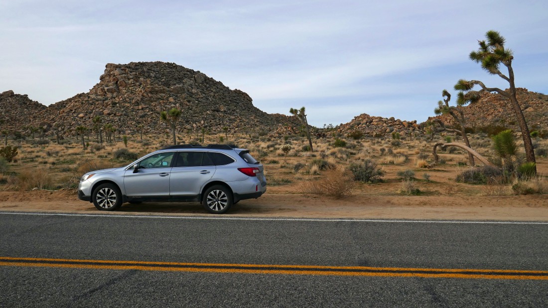
From the west entrance pay station at Joshua Tree National Park we drove ~2 miles and parked on the right side of the road... the unsigned trail will take us to the gap in the right center of the photo.
|
This is such an obvious trail that I would call it a connector trail to the Bigfoot Trail.
|
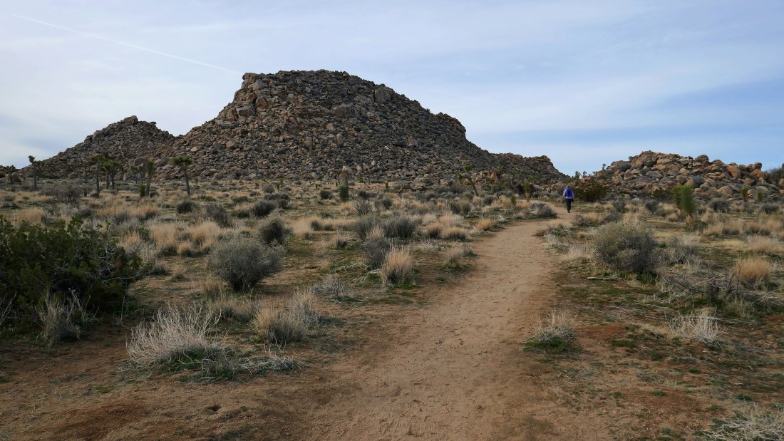
On the Bigfoot connector trail... looking back across Park Blvd (where we parked) to The Maze.
|
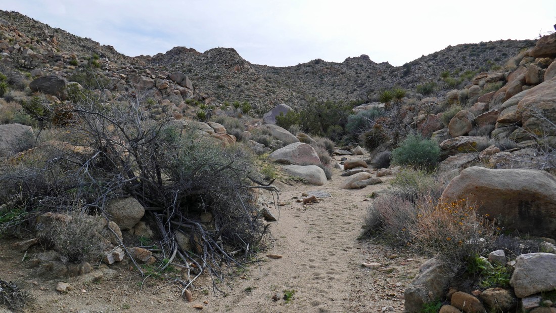
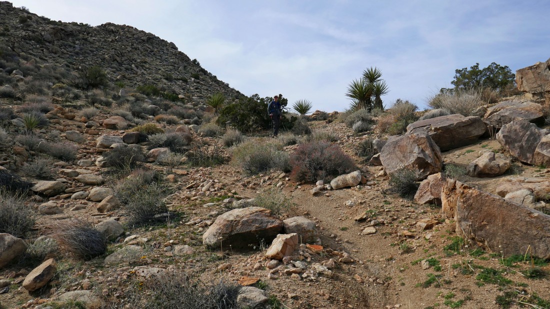
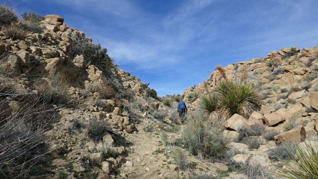
After hiking a quarter mile, the connector trail will start taking us downhill toward Quail Wash.
|
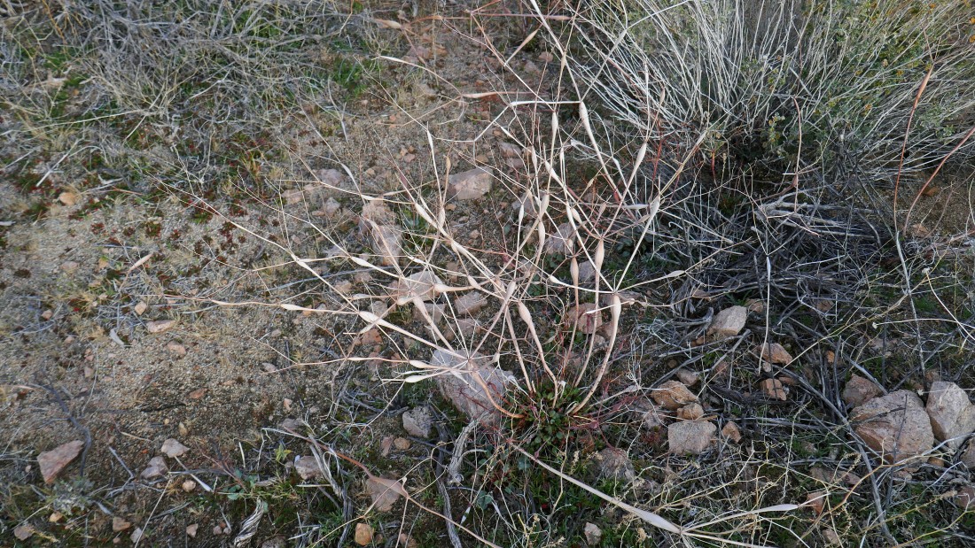
Desert Trumpet.
|
|
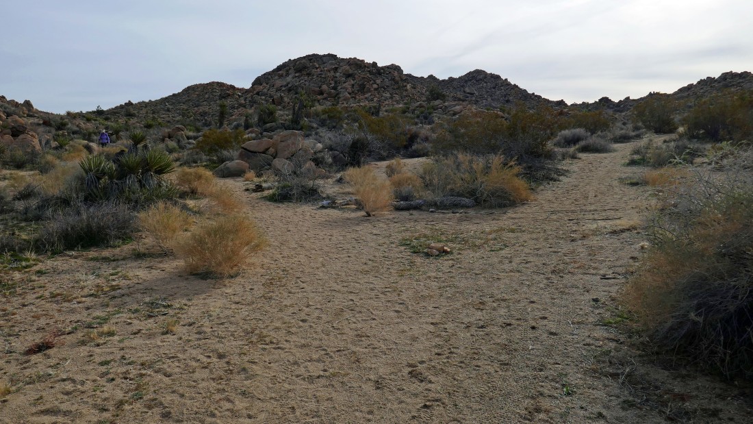
Looking back up the Bigfoot connector trail.
|
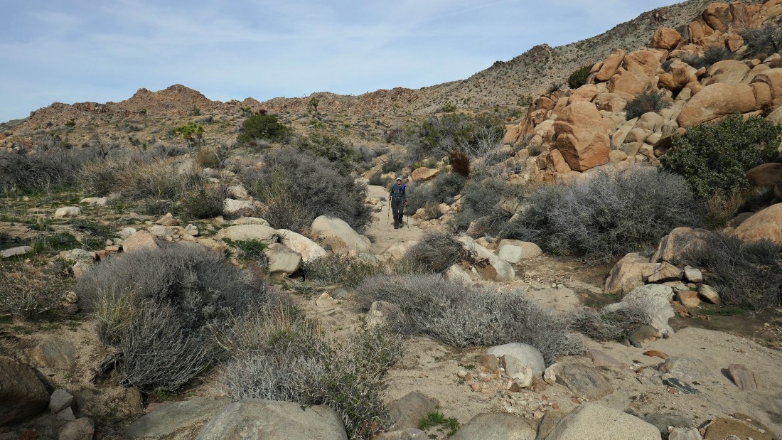
Denali Girl is coming down the connector trail on the left... the Bigfoot Trail is coming in from the right... we have hiked a half-mile... and will continue downhill toward Quail Wash.
|

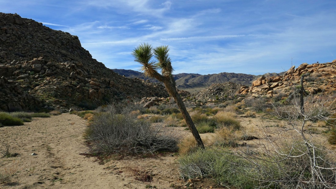
Looks like the wash/trail will narrow a bit here.
|
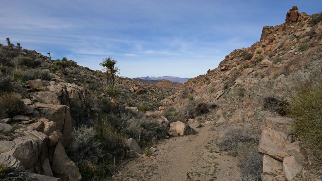
Continuing down the Bigfoot Trail toward Quail Wash... the San Gorgonio Wilderness is on the horizon.
|
Continuing down the Bigfoot Trail.
|
Continuing down the Bigfoot Trail... looks like the terrain will open up a bit... Yucca Valley is way out there in the distance.
|
Continuing down the Bigfoot Trail.
|
Continuing down the Bigfoot Trail... there is a lot of the Mormon Tea plant here... the Little San Bernardino Mountains are on the horizon.
|
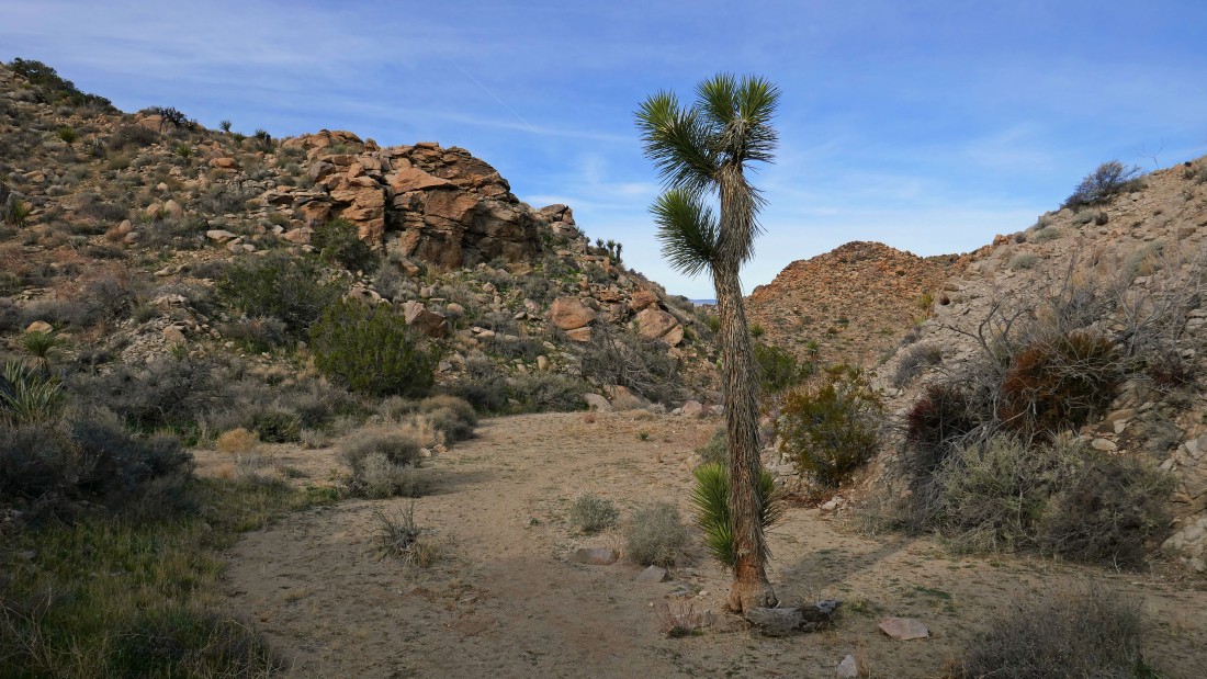
Looks like the terrain is going to open up.
|

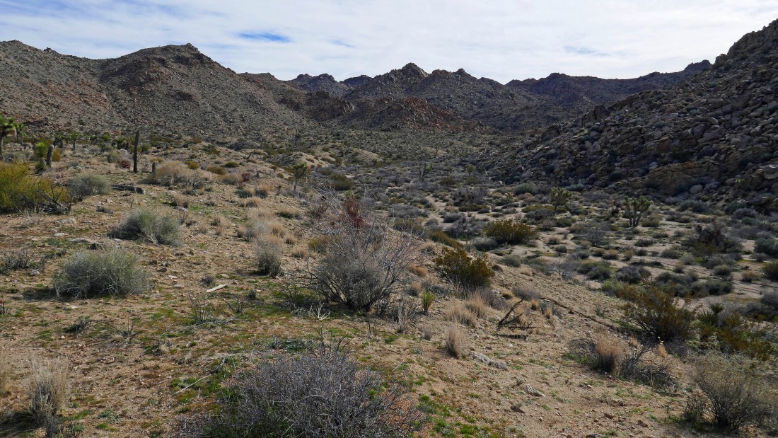
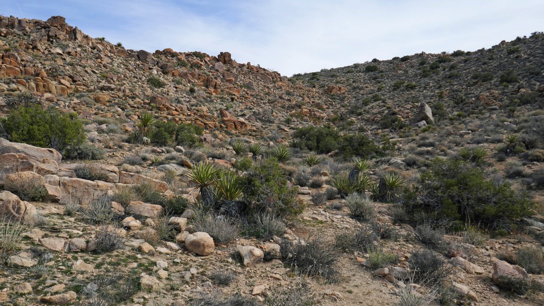
Well... the terrain is not going to open up just yet... still heading downhill toward Quail Wash.
|
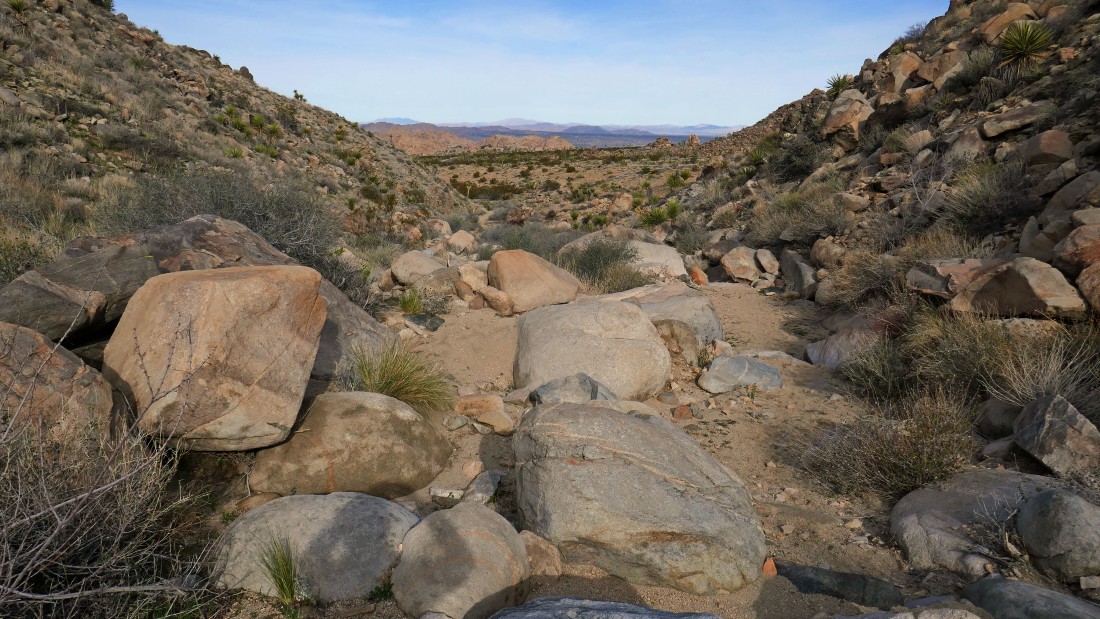
The terrain has finally opened up... Quail Wash is another quarter mile downhill... but we will turn left and head cross country to join up with the Panorama Trail which will eventually take us back into rocky terrain.
|
Heading cross country... looking back at the Bigfoot wash/trail on the right... with Quail Wash in the distance in the center of the photo.
|
The Panorama wash/trail is below... we will join it and start following it uphill.
|
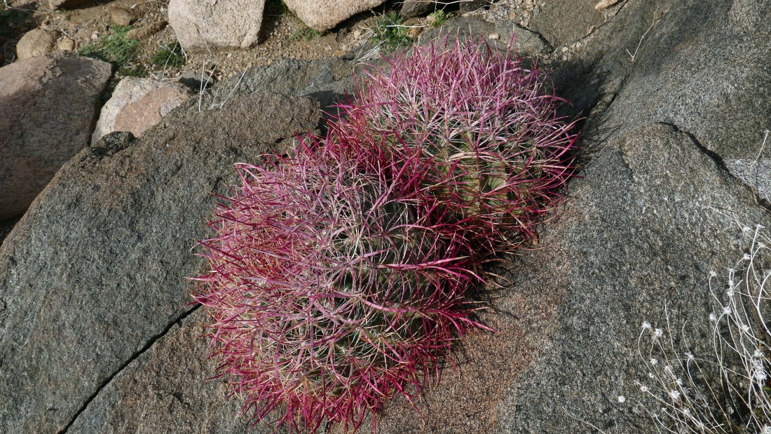
Barrel cacti.
|
We are continuing uphill on a berm just above the Panorama wash/trail... here we are looking back down our route to Quail Wash at the base of the Little San Bernardino Mountains.
|
Time to leave our berm and drop back down onto the Panorama wash/trail.
|
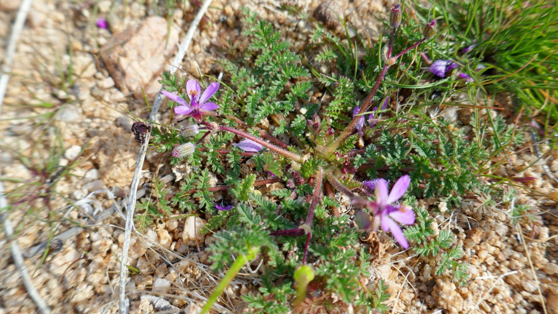
No idea... but I'm partial to purple.
|
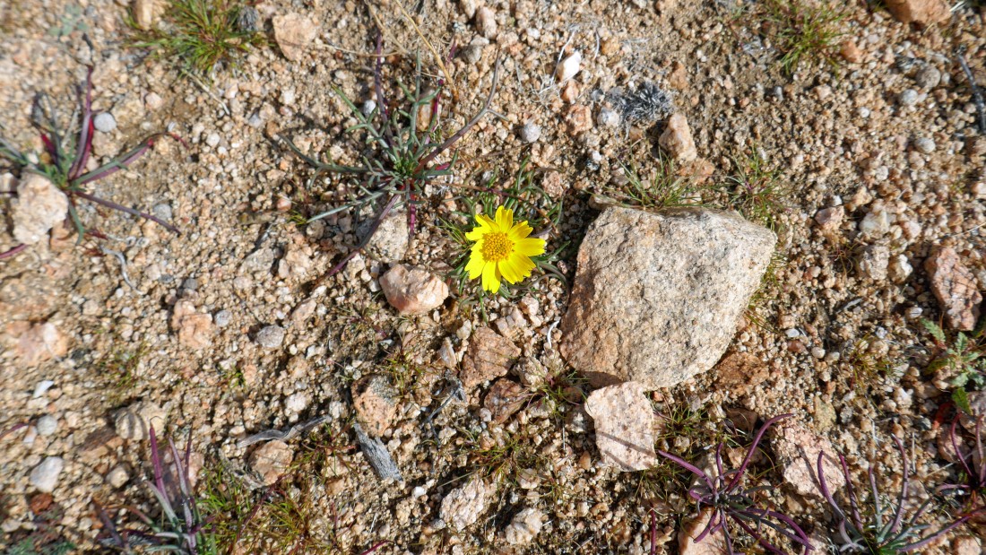
It might be a desert sunflower.
|
Looking back down the Panorama wash/trail to Quail Wash and the Little San Bernardino Mountains.
|

Denali Girl points to a place where we will leave the wash and get on what looks like a real trail.
|
Looking back down our route... the berm we followed on our way up to here is on the right.
|
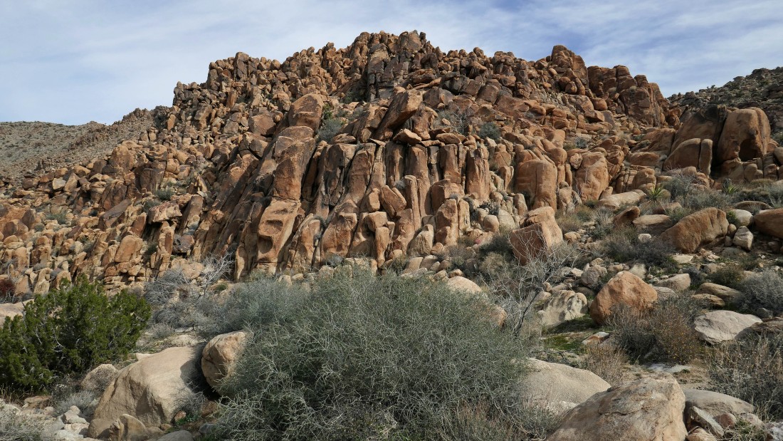
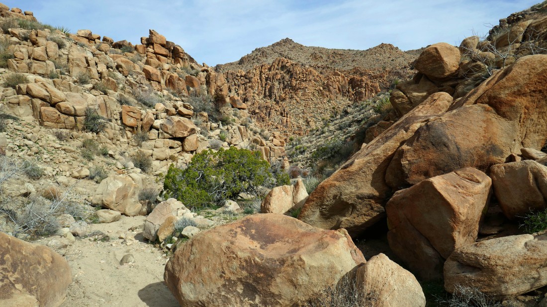
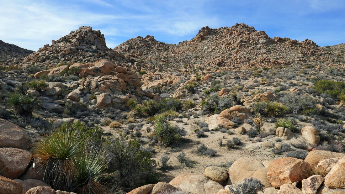
The trail is taking us around this impressive pile of orange boulders in the right foreground.
|
Here comes Denali Girl as she hikes along side the pile of orange boulders.
|
We have passed the orange boulders and are continuing uphill on the Panorama Trail.
|
Continuing uphill beyond the orange boulders.
|
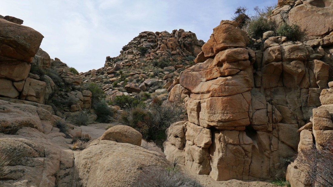
The Panorama Trail narrows a bit every now and then.
|
Looking back at our route as we continue uphill on the Panorama Trail.
|
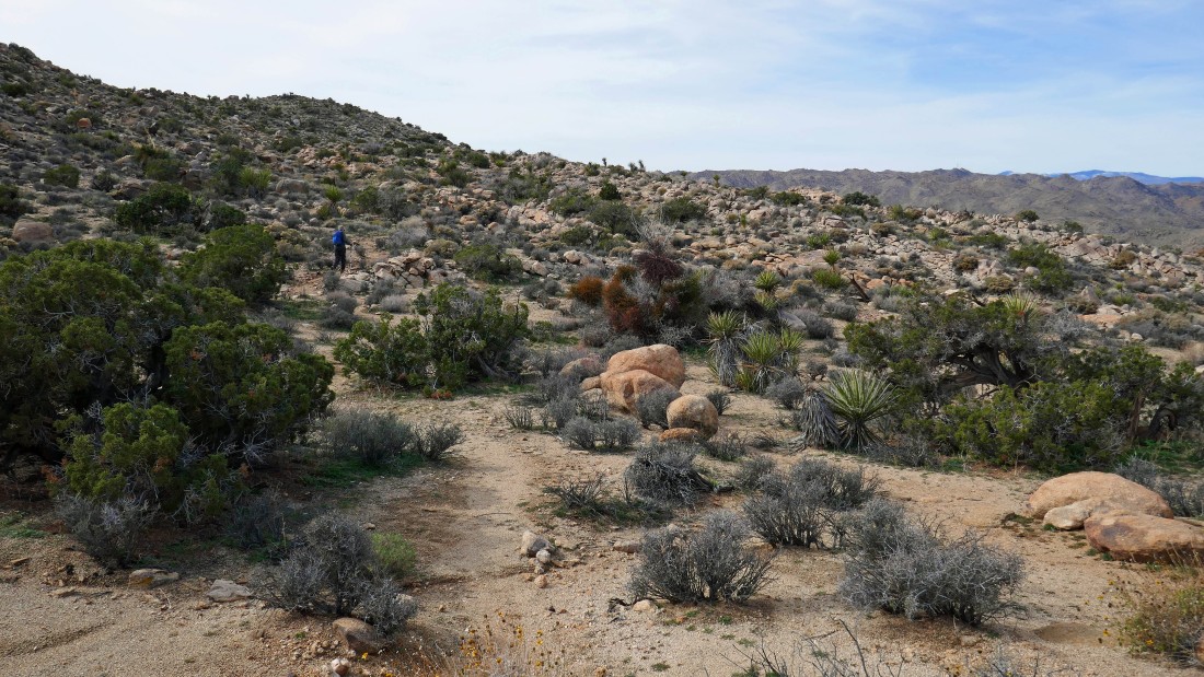
The terrain seems to be opening up a bit.
|
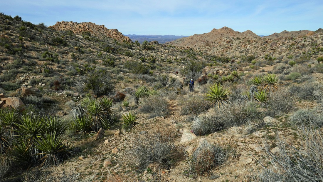
Denali Girl continues uphill on the Panorama Trail.
|
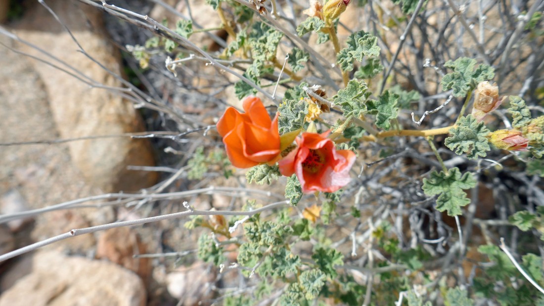
Desert Mallow... I think.
|
Continuing uphill on the Panorama Trail.
|
Continuing uphill on the Panorama Trail.
|
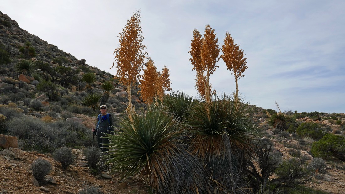
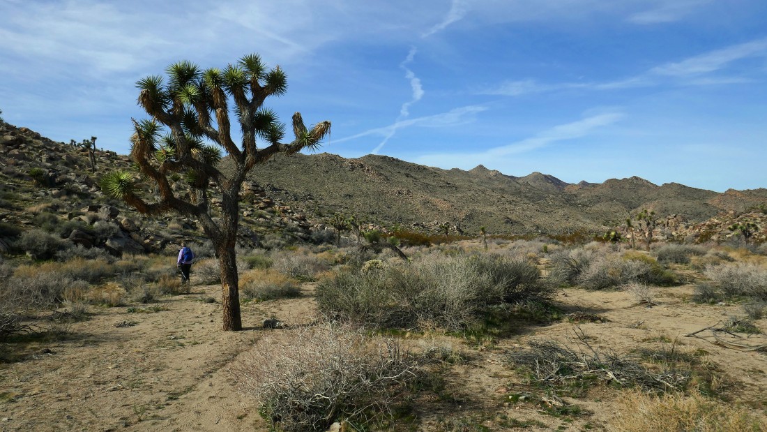
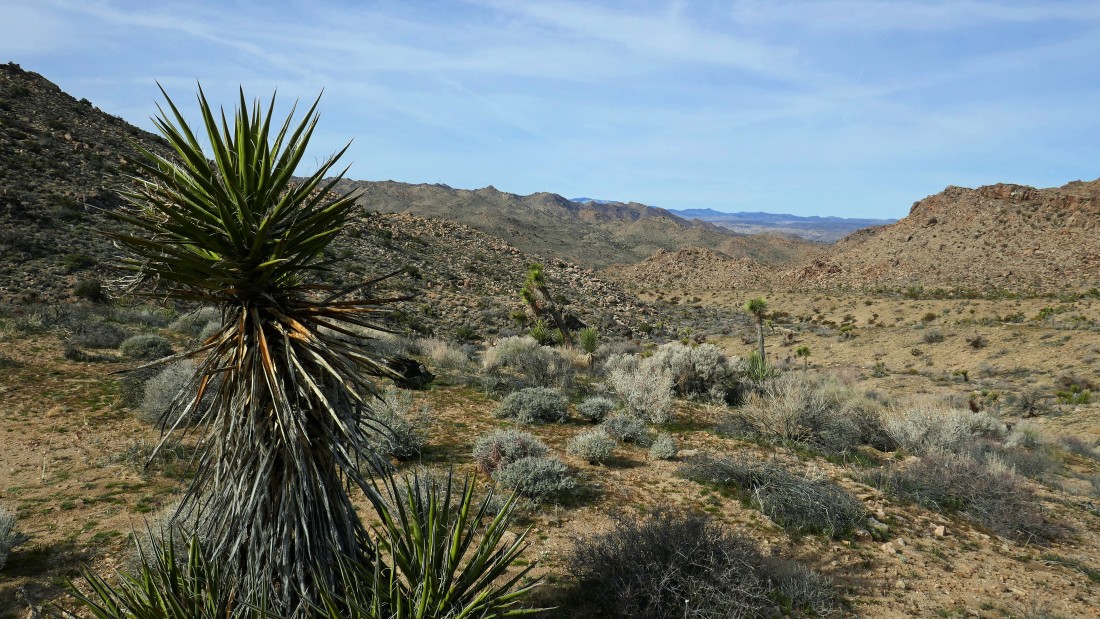
One of the bigger yucca cacti that we have seen.
|
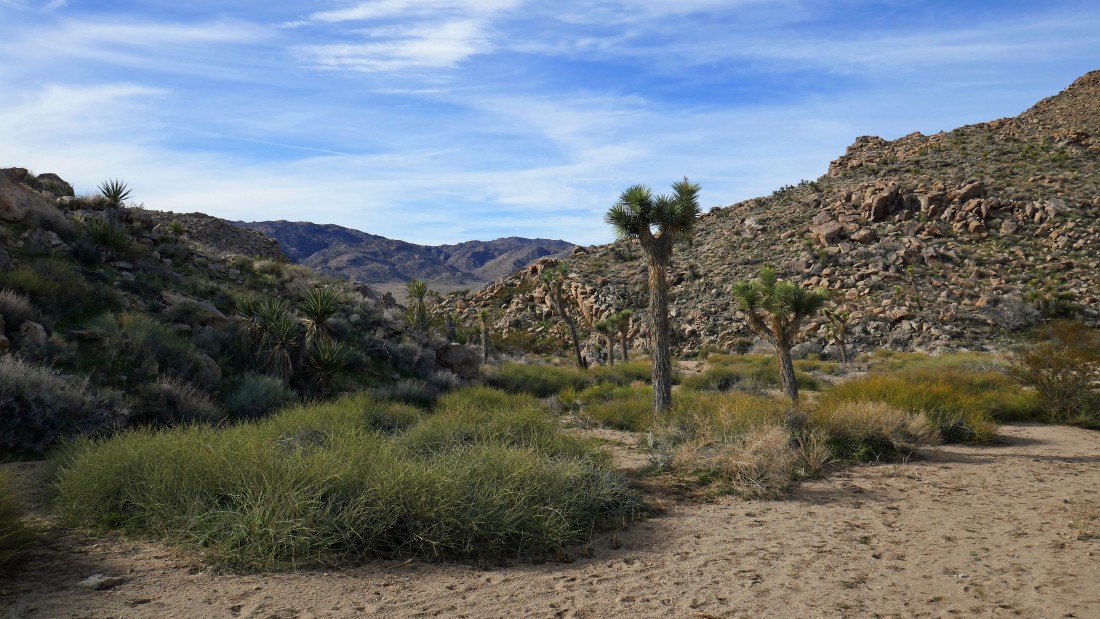
A nice lunch spot... with a view down into Quail Wash... and out to Yucca Valley.
|
Still gaining elevation on the Panorama Trail... looking out to Quail Wash and Yucca Valley.
|
Almost to our high point on the Panorama Trail... up there on the ridge.
|
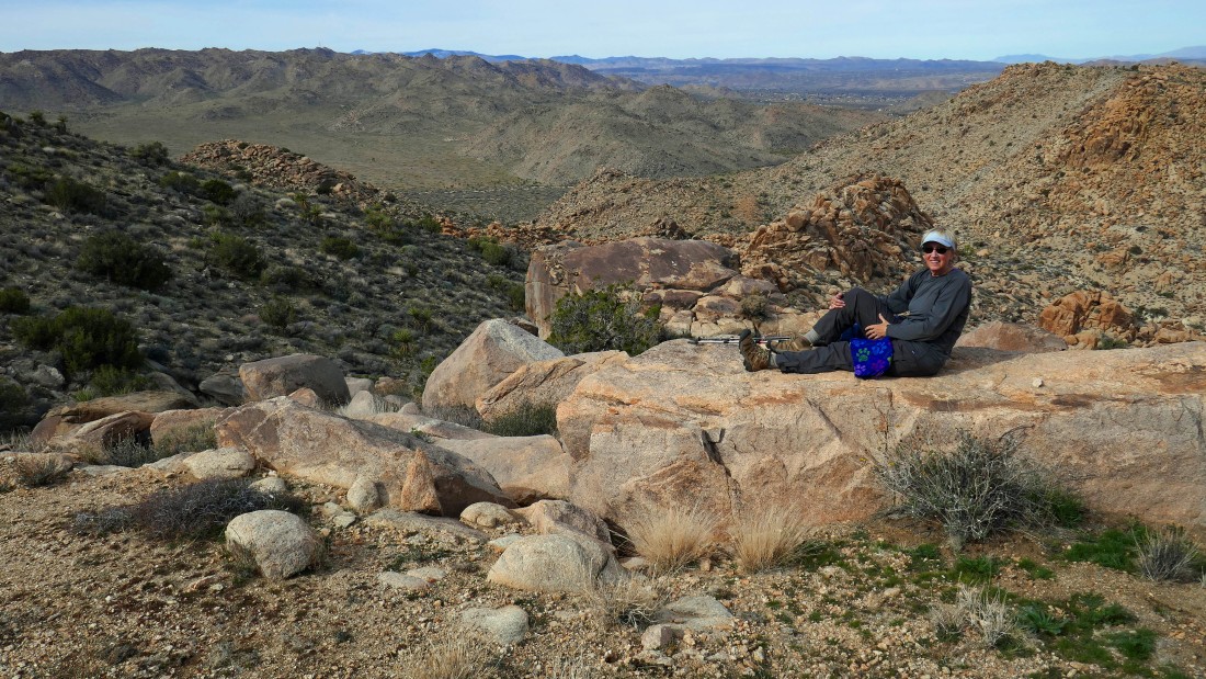
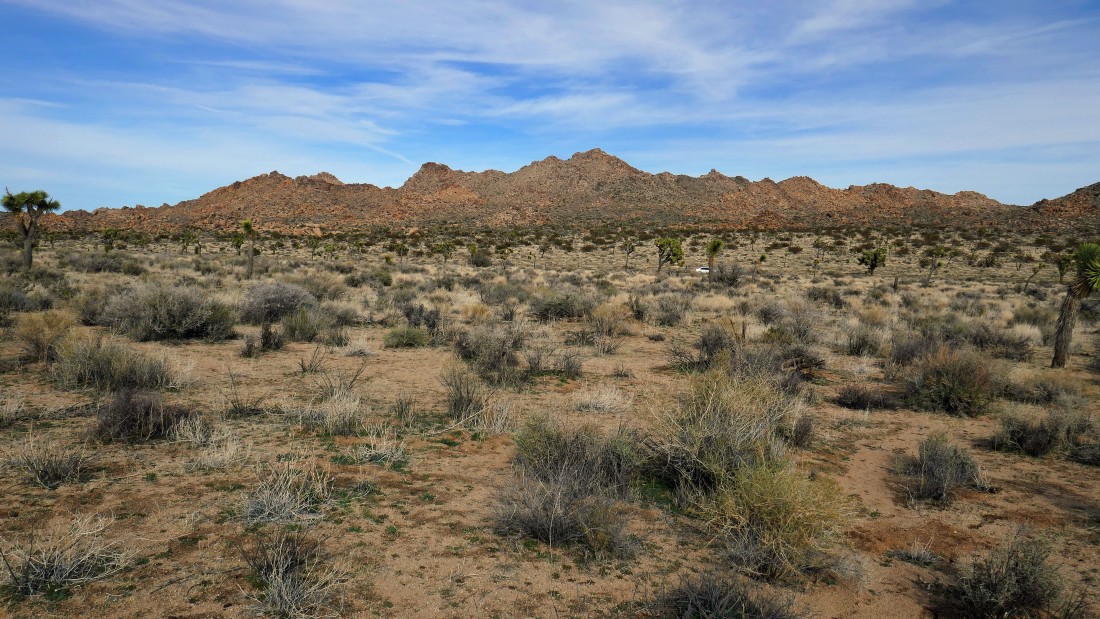
Broad views from our high point on the Panorama Trail... Quail Mountain (the high point in the park) is in the right center of the photo.
|
Continuing on the Panorama Trail... with the Little San Bernardino Mountains on the right.
|
Gradually working our way down the Panorama Trail.
|
Continuing down on the Panorama Trail.
|
|
Almost on the desert floor as we continue hiking on the Panorama Trail.
|
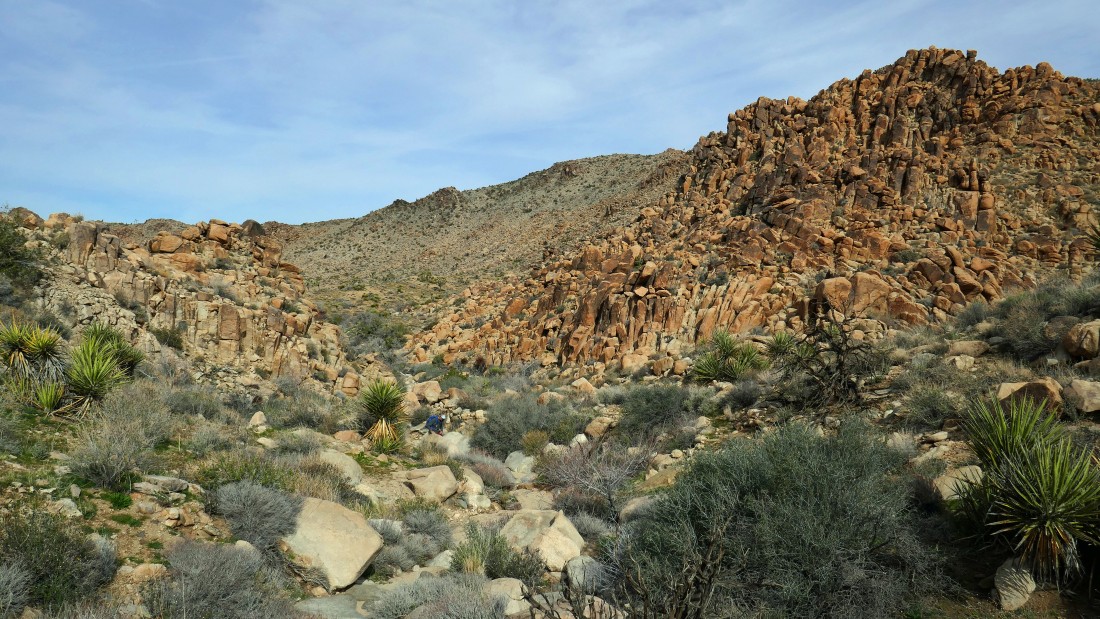
Looking back... the pile of boulders in the left foreground blocks the pass we came through to get here.
|
Almost back on the desert floor where we will reconnect with the Bigfoot Trail.
|
We will stay on the Bigfoot Trail for a quarter mile or so before leaving it and heading cross country back to our car.
|
Nearing our car which is parked on Park Blvd... looking out to The Maze which is on the other side of the road... our loop trip was 6.9 miles, gaining 1350 feet of elevation.
|
