Eagle Cliff Mine and Elton Mine - 1.25.2019
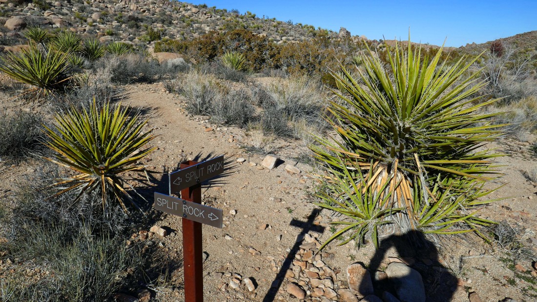
From Park Blvd in Joshua Tree National Park drive Split Rock Road for .6 miles to the trailhead at the end of the road... start hiking from the Split Rock.
|
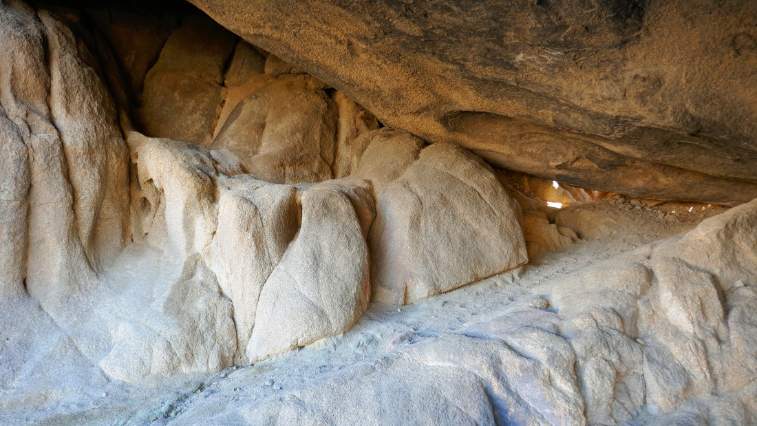
The back side of Split Rock is carved out.
|
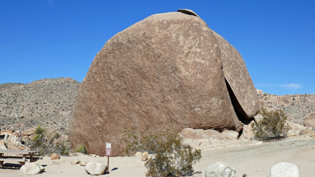
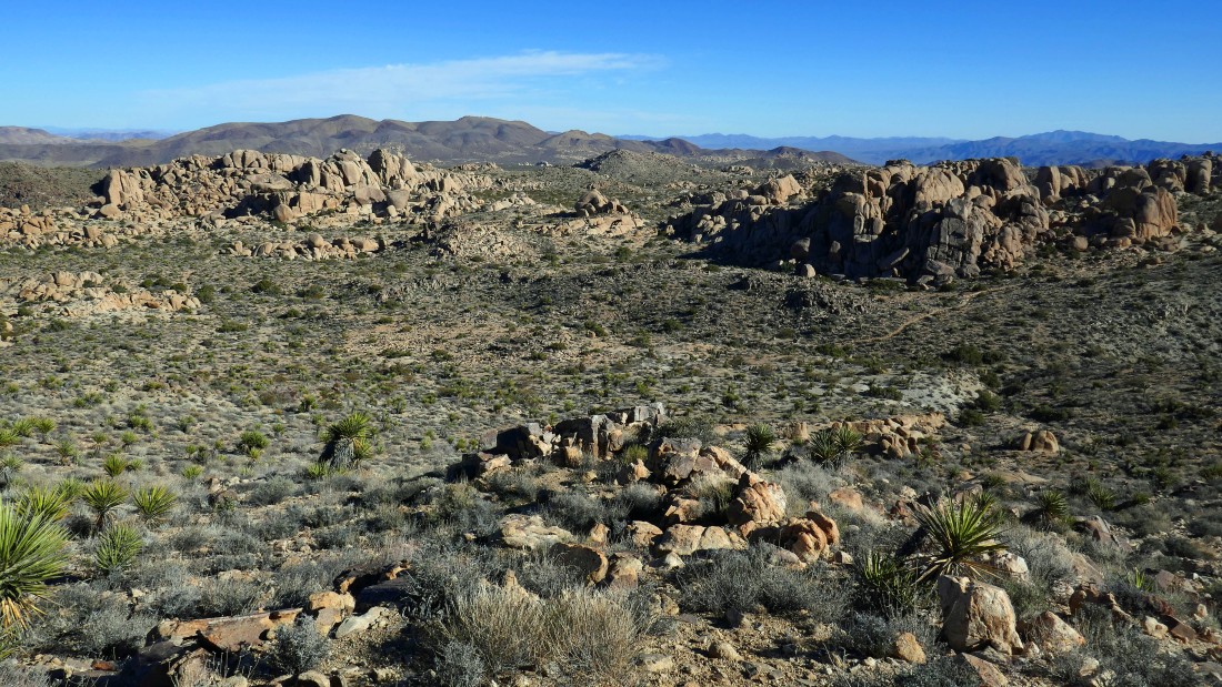
Awesome rock formations and we haven't even hardly left the parking lot.
|
Impressive rock formation near the Split Rock parking area.
|
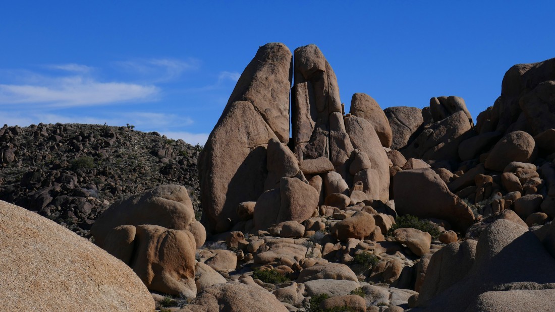
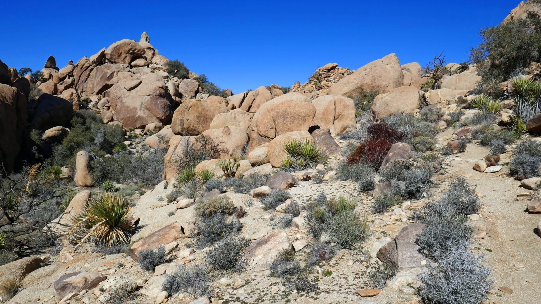
Looking back toward the Split Rock parking area as we continue hiking on the Split Rock Loop Trail.
|
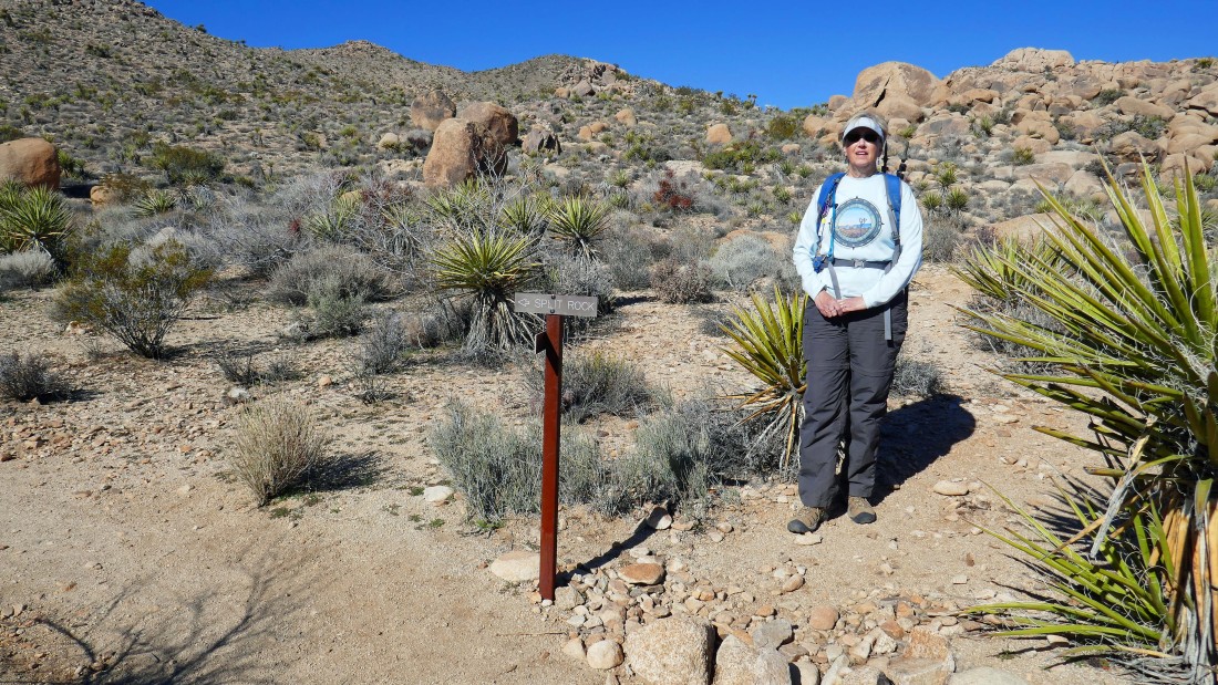
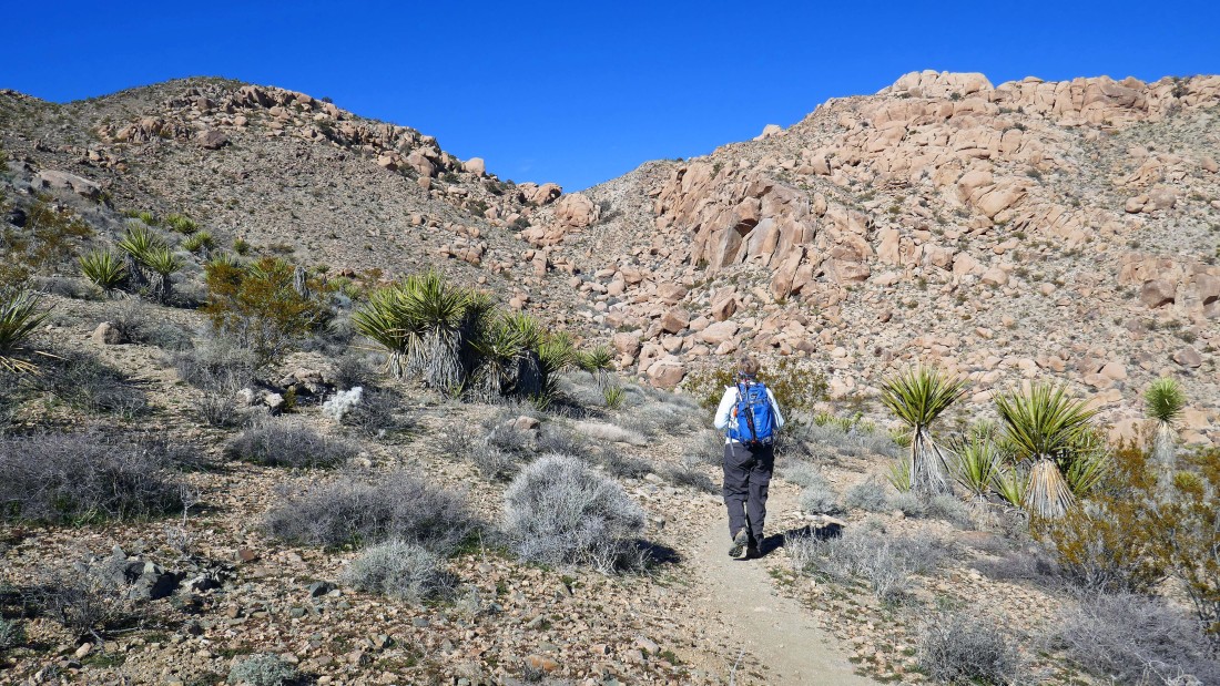
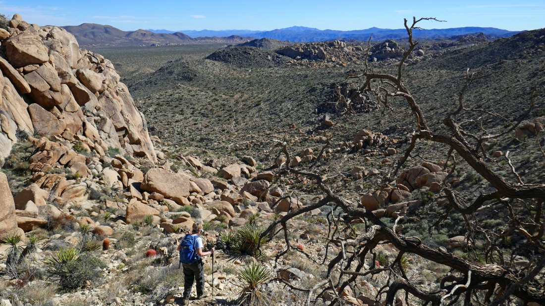
After hiking the Split Rock Loop Trail for .3 miles we will take the unsigned, but obvious, path that Denali Girl is standing on and follow it to the low point on the ridge in the distance.
|
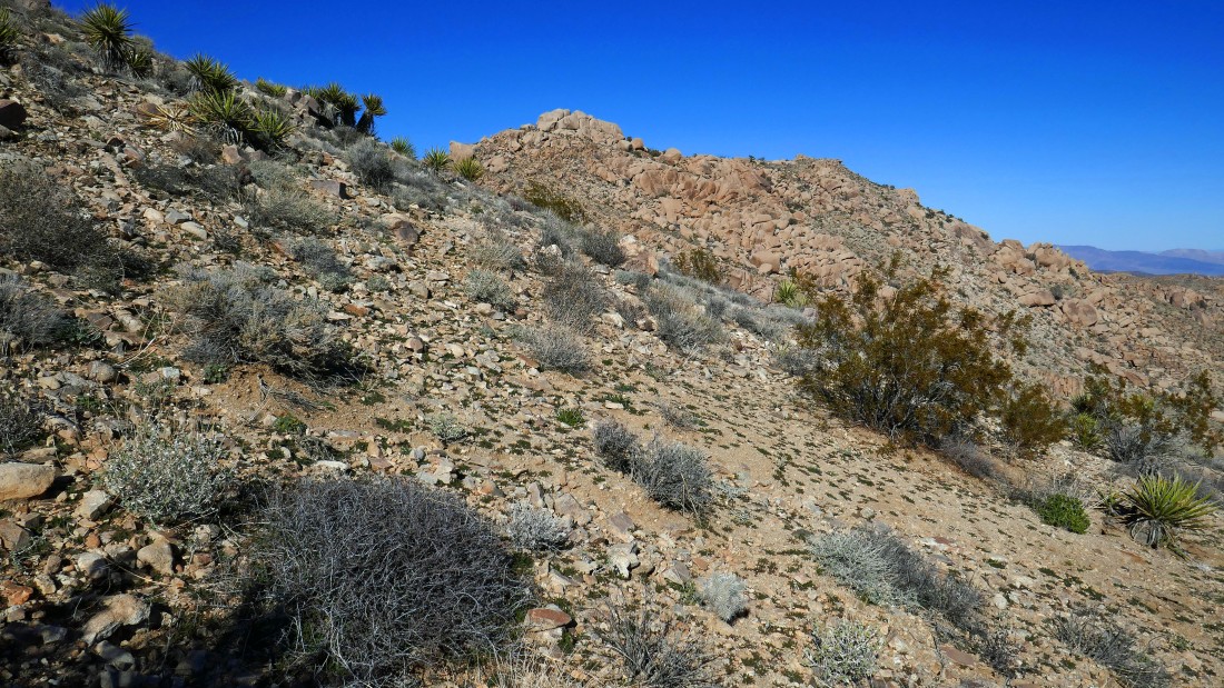
Continuing on the good path that will take us up to the 'V' in the center of the photo.
|
Gaining elevation on the path leading up to the ridge... here looking back at our route.
|
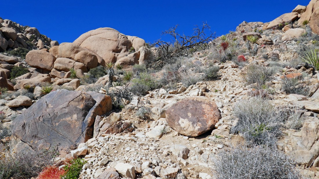
The path steepens as we near the ridge.
|
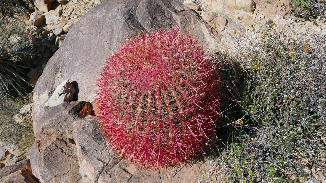
Barrel cactus.
|
Here comes Denali Girl up the steep portion of the path... you can see the path below.
|
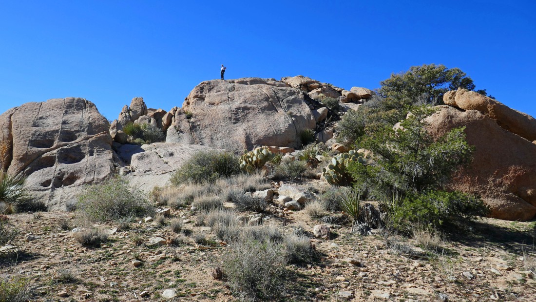
Almost on the ridge... love the monolith on the left.
|
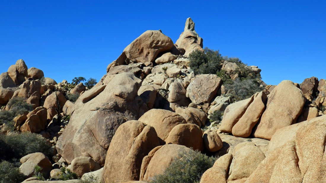
A closer look at the monolith.
|
A nice view from the ridge... here looking north toward Queen Mountain on the horizon... with my monolith in the far left foreground.
|
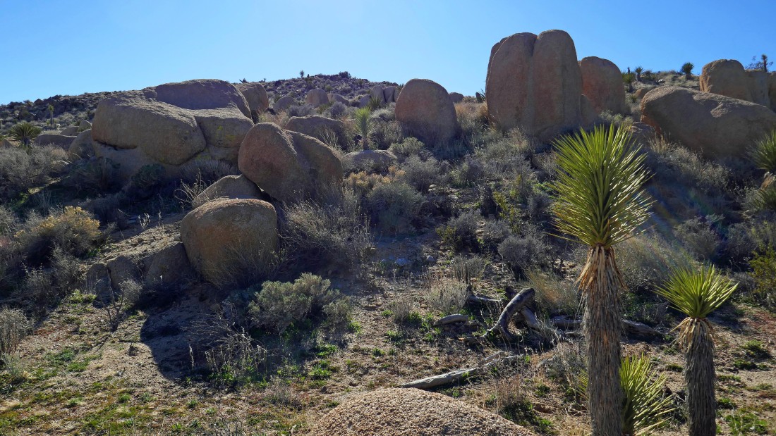
One of the Eagle Cliff adits is located near the ridge... but the better stuff is yet to come.
|
Denali Girl is continuing down the trail toward the main Eagle Cliff mine (out of view on the far left) while I take a short detour up to the high point on the right.
|
Looking west (left) to north (right) from my high point... Queen Mountain on the far right... Ryan Mountain in the right-center of the photo with San Jacinto Mountain on the horizon behind it... a snow covered San Gorgonio Mountain is on the horizon between Queen and Ryan.
|
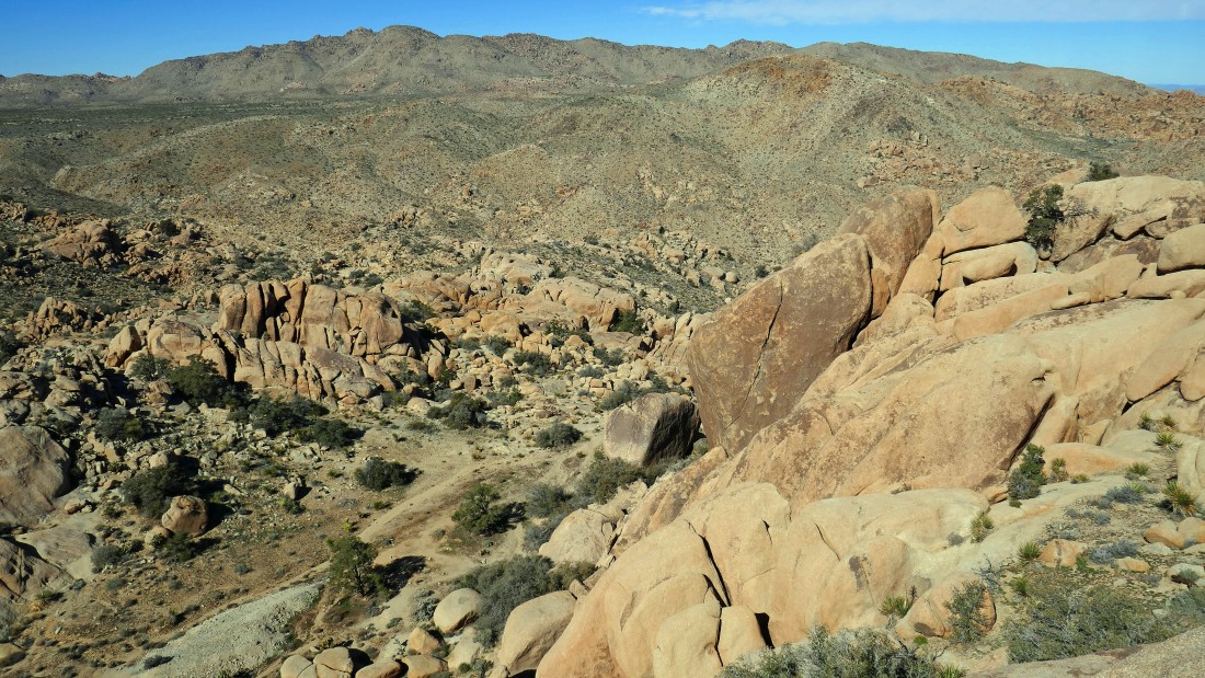
Looking down on the Eagle Cliff Mine area from my high point... you can see the light gray tailings from the mine in the lower left corner of the photo... the very broad Queen Mountain dominates the horizon.
|
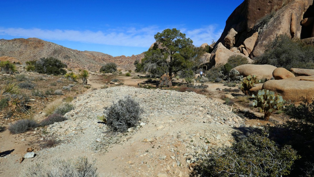
I've come down from my high point to the pile of mine tailings... Denali Girl is over there in front of the living quarters.
|
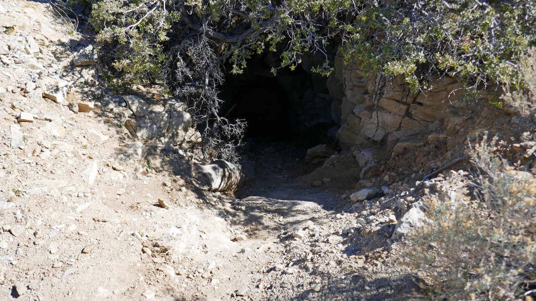
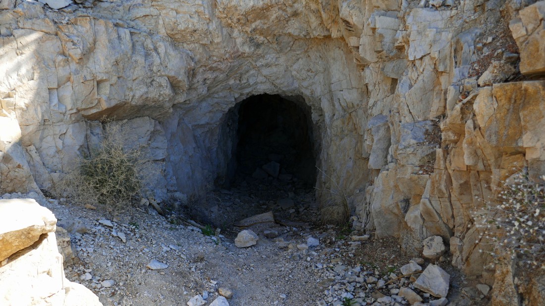
The main adit of the Eagle Cliff Mine.
|
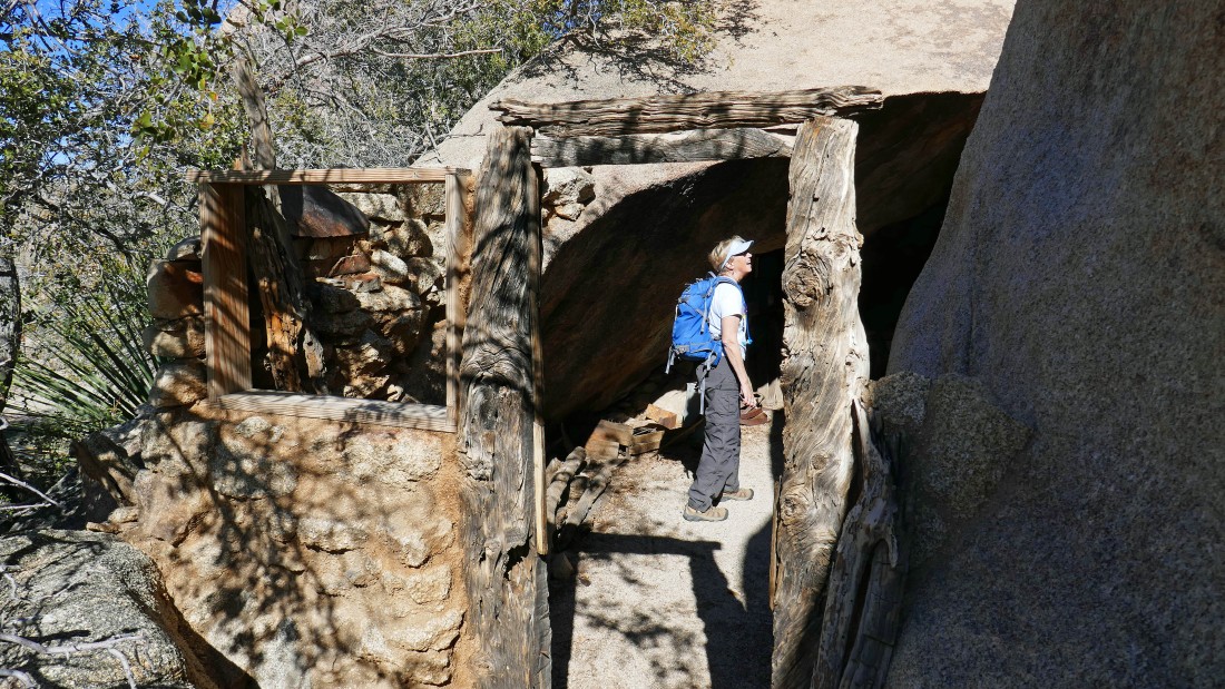
The mine is one thing... but the real treasure here is the living quarters... more or less built into the monster boulders.
|
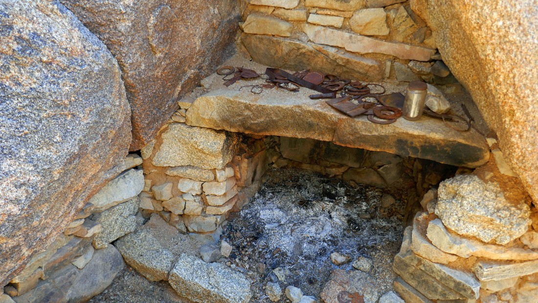
The fireplace in the living quarters.
|
A pano shot taken inside the living quarters at the Eagle Cliff Mine.
|
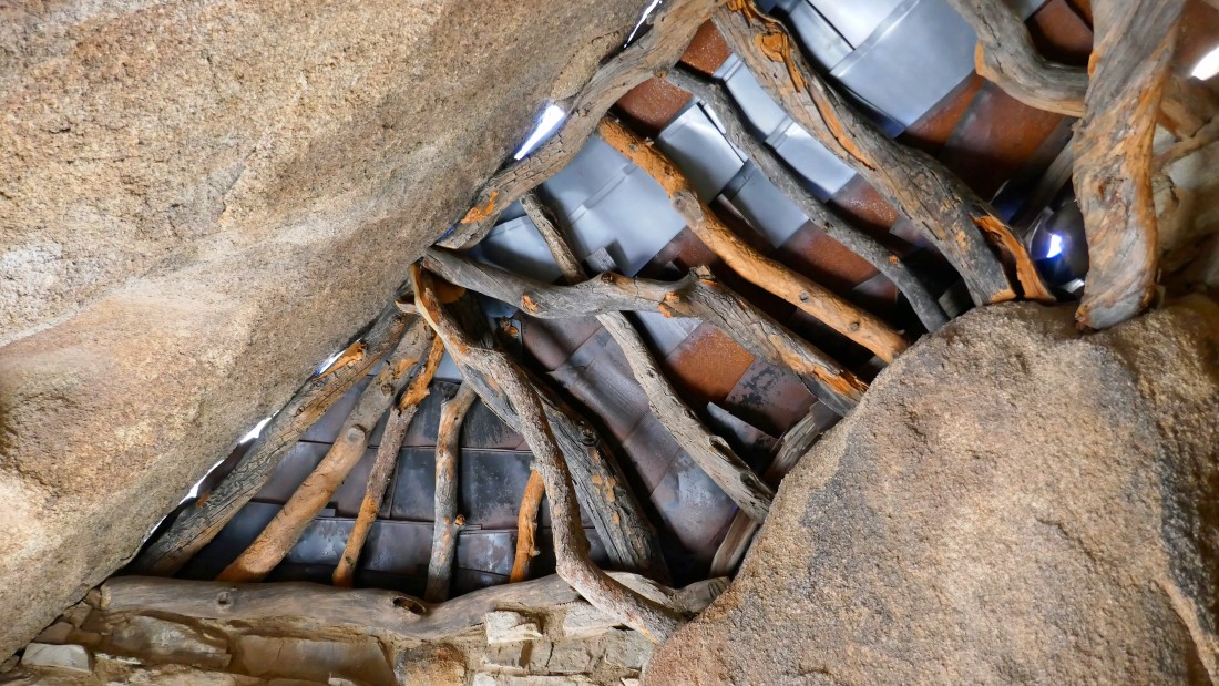
Looking up at the roof.
|
The miners had this view from their front yard... looking north to Queen Mountain and NE to Yucca Valley.
|
|
We scrambled up some rocks across from the living quarters... my high point for the day is in the right-center of the photo... with the living quarters behind the large tree in the left-center of the photo... in front of those two monster monoliths... Yucca Valley is in the distance on the far left.
|
Denali Girl standing on our lunch spot.
|
I'm back up on the ridge while Denali Girl hikes up toward me from the Eagle Cliff Mine area.
|
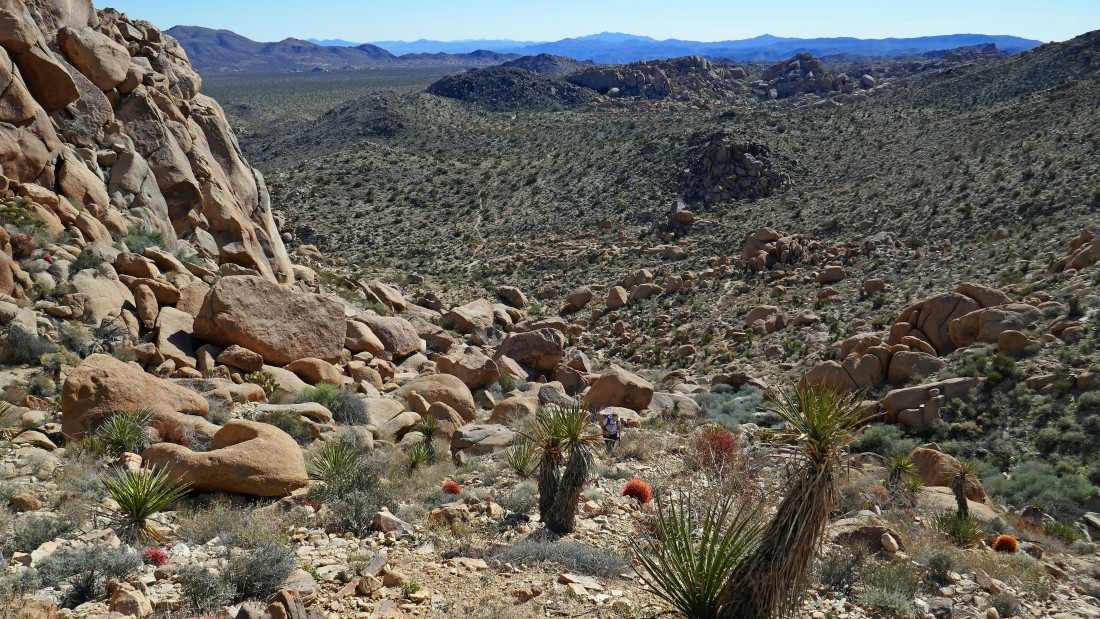
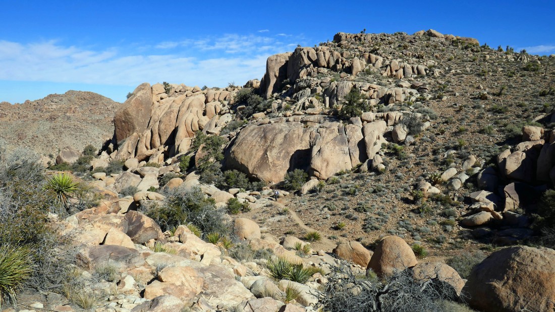
We have crossed over the ridge and are tracing our steps back down the steep portion of the path we used to get up here... the awesome rock formations of the Split Rock area are in the distance.
|
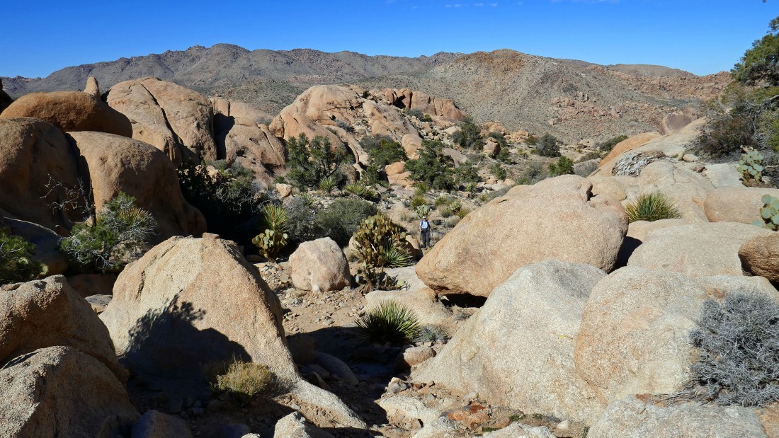
Denali Girl decided to return to the car while I traversed the hillside on the right in search of the Elton Mine.
|
Looking back as I continue my search for the Elton Mine.
|
Working my way cross country toward the Elton Mine.
|
I will head for the light gray piles of tailings in the distance... I assume that I will find adits where the tailings are.
|
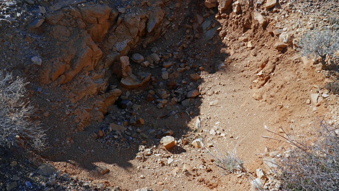
One of the adits at the Elton Mine... a bit disappointing after visiting the Eagle Cliff Mine.
|
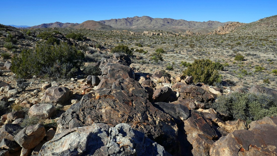
While the Elton Mine was disappointing... the views from the mining area were not.
|
Looking north from the mining area to Queen Mountain on the horizon.
|
Looking SW from the mining area to Ryan Mountain.
|
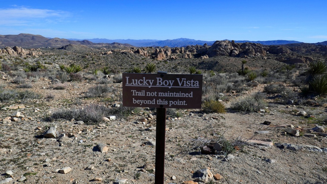
Heading back toward Split Rock on the far left... I've always wondered where the Lucky Boy trail led... now I know... the main trailhead for Lucky Boy Vista starts near the trailhead for Pine City and Desert Queen Mine.
|
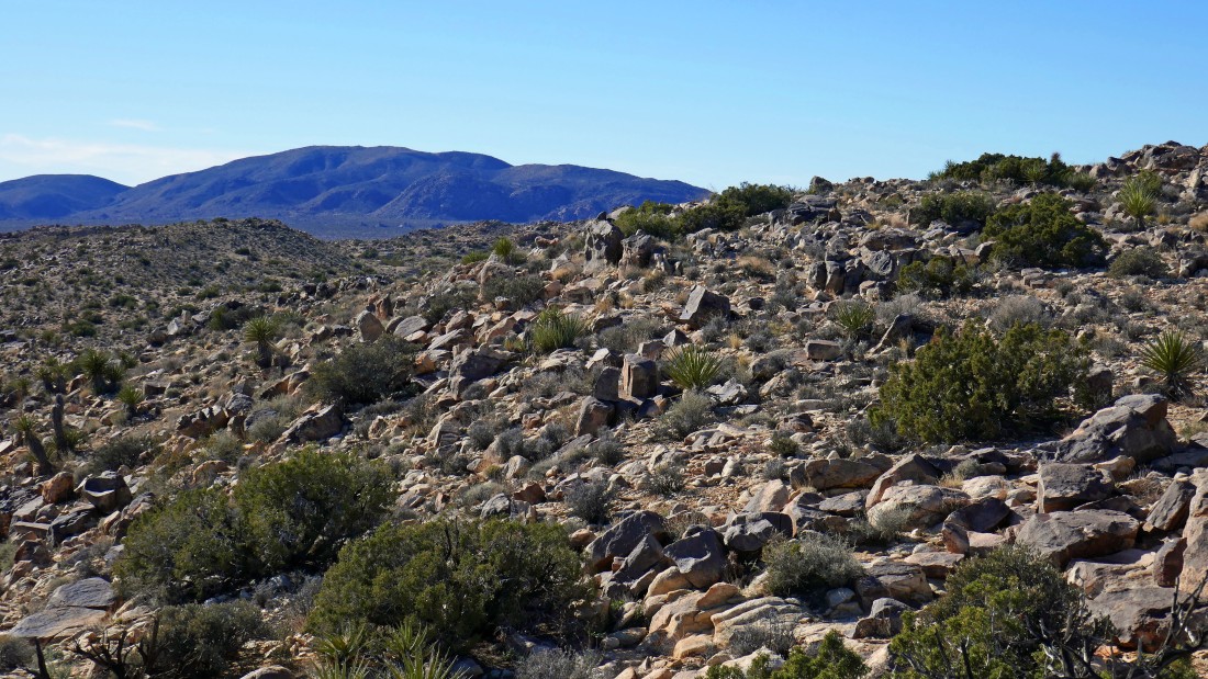
Heading cross country for Split Rock on the far left... I can see part of the Split Rock Loop Trail over on the far right.
|
I have reconnected with the Split Rock Loop Trail and hiked it a short distance... and here I am where we left the trail and headed for the Eagle Cliff Mine earlier in the day... a .3 mile hike will get me back to the car... our hike was a total of 4 miles, gaining 1300 feet of elevation.
|
