Ryan Mountain, Joshua Benchmark and Point 5238 - 2.6.2019
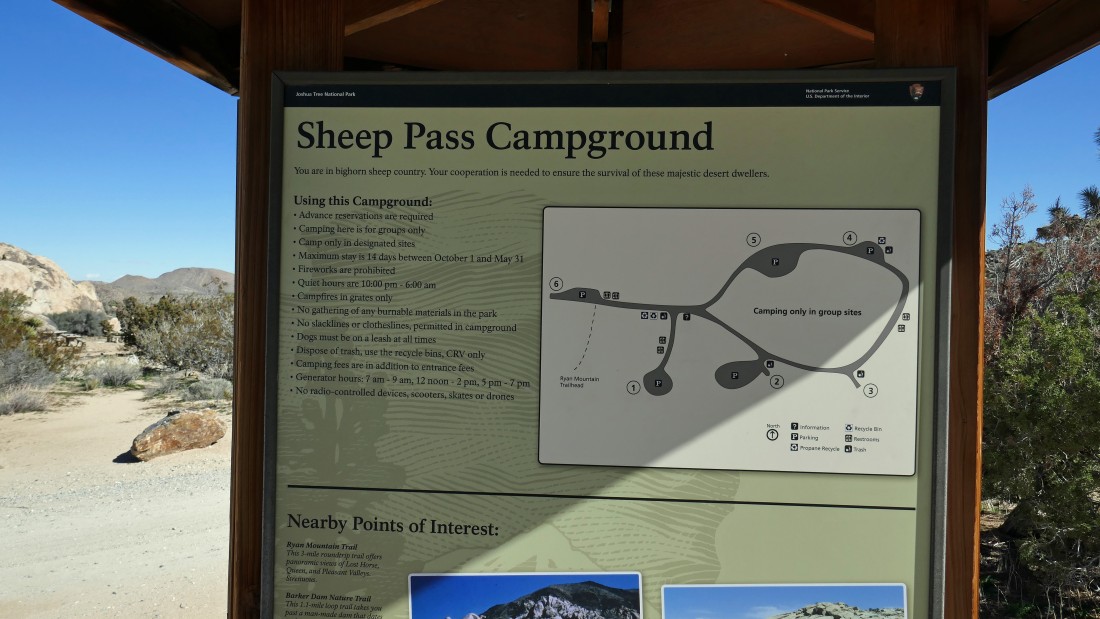
I started this hike/scramble from the Sheep Pass Campground... turn off of Park Blvd after driving 13.3 miles from the west entrance pay station of Joshua Tree National Park... Gail dropped me off here and then drove a mile back down the road and started hiking from the main parking lot for Ryan Mountain... I will meet her on the summit of Ryan Mountain.
|
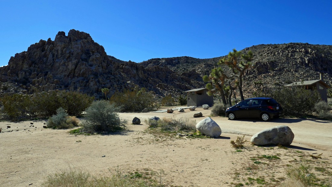
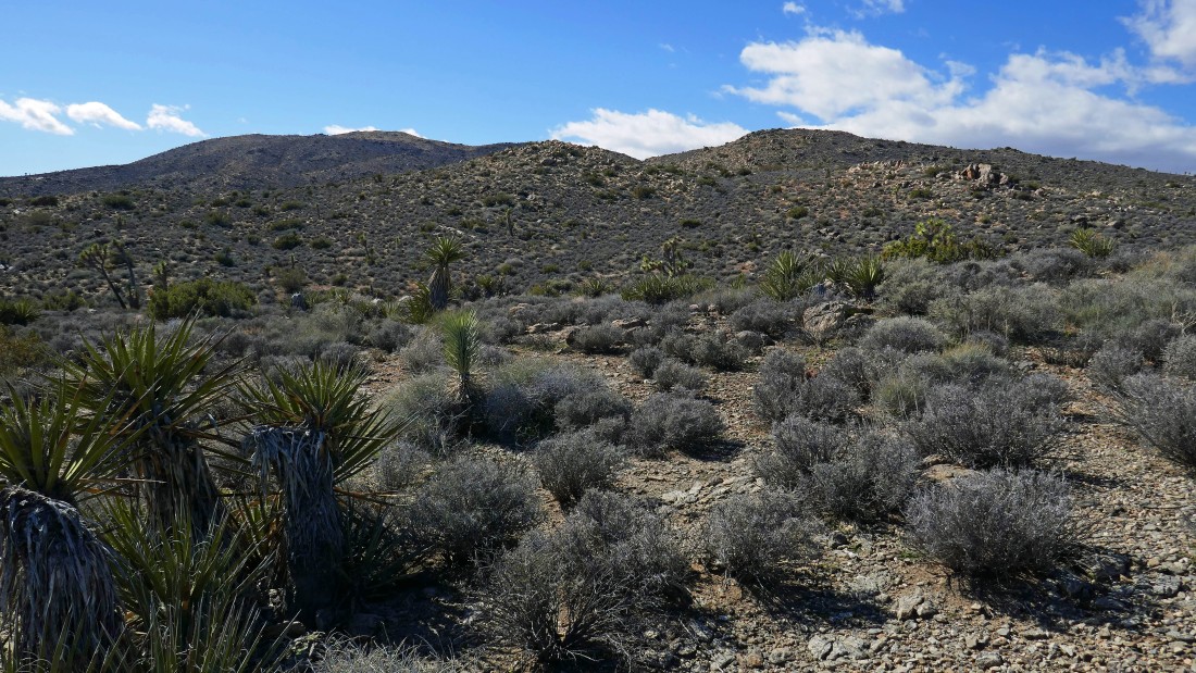
From the kiosk at Sheep Pass Campground I am going to head cross country and gain that ridge in the center of the photo.
|
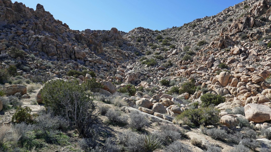
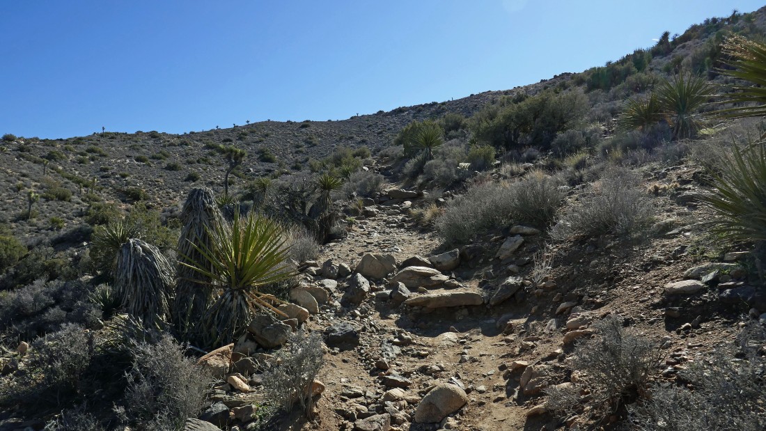
Lots of boulders to dodge on the way up to the ridge.
|
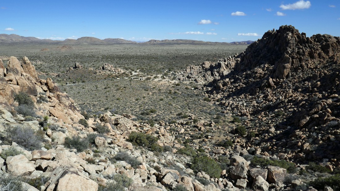
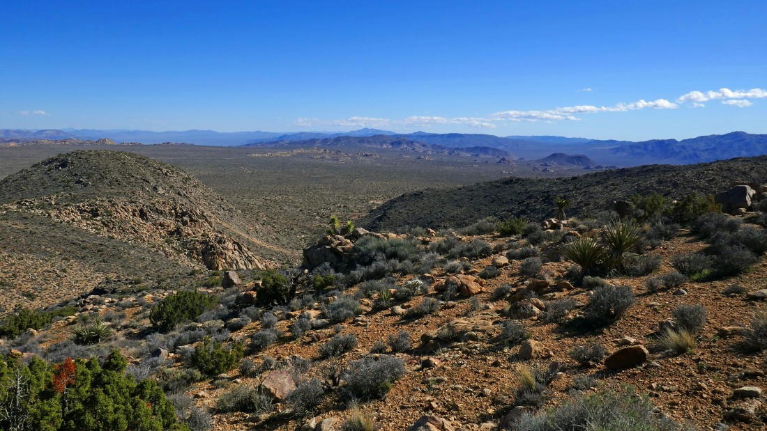
Gaining elevation and looking back down at the Sheep Pass Campground and Queen Valley beyond.
|
I've hit the ridge and get my first view of Ryan Mountain up there on the left... but first I'm heading for Joshua Benchmark (out of frame on the left).
|
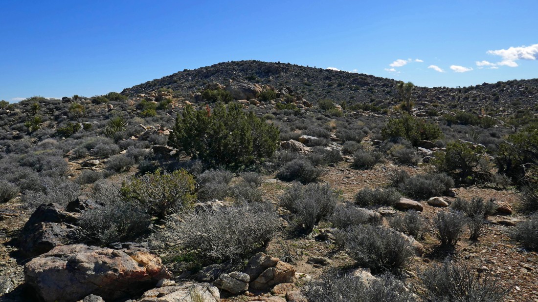
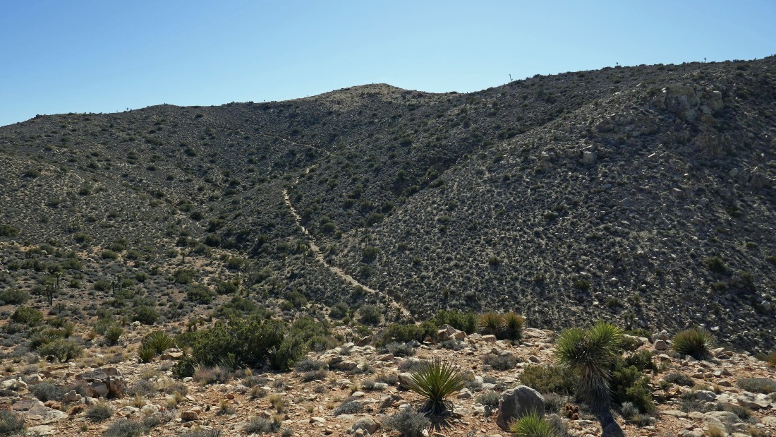
Looks like an easy hike up to Joshua Benchmark.
|
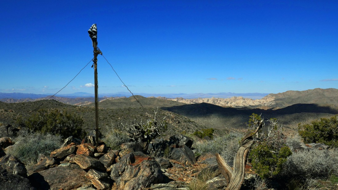
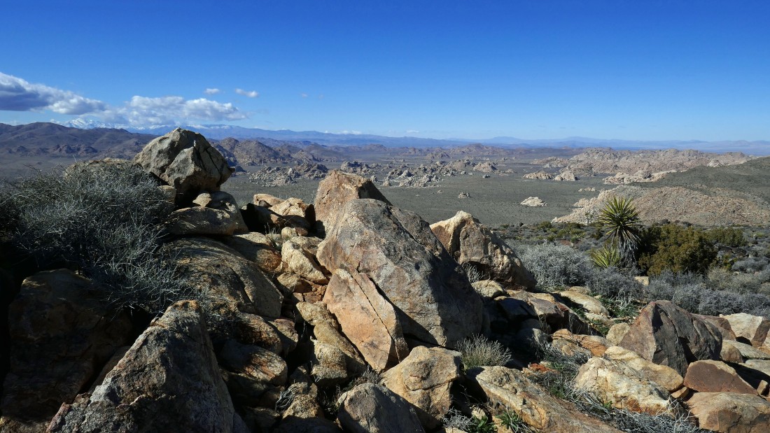
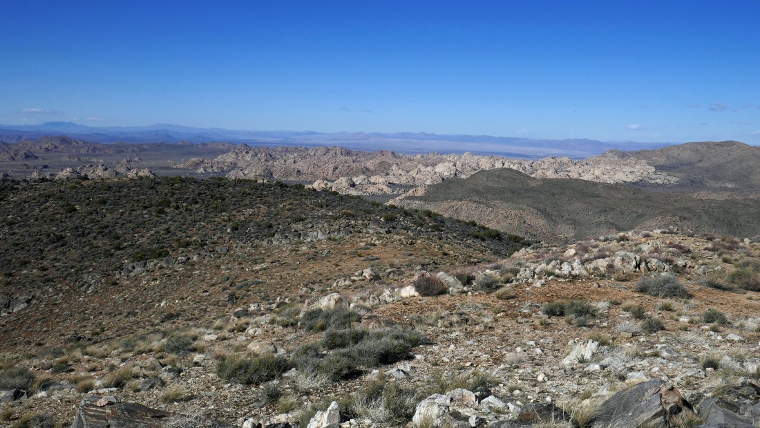
On the summit of Joshua Benchmark (5072')... the white rocks in the distance are the 'Wonderland of Rocks'.
|
From Joshua Benchmark I am looking north across Queen Valley to Queen Mountain on the left... and south to the Hexie Mountains on the far right.
|
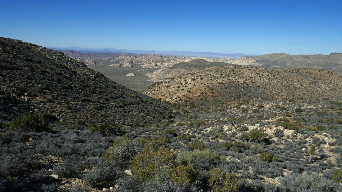
From Joshua Benchmark I am looking south across Queen Valley to the Hexie Mountains in the center of the photo... and Ryan Mountain in the right foreground.
|
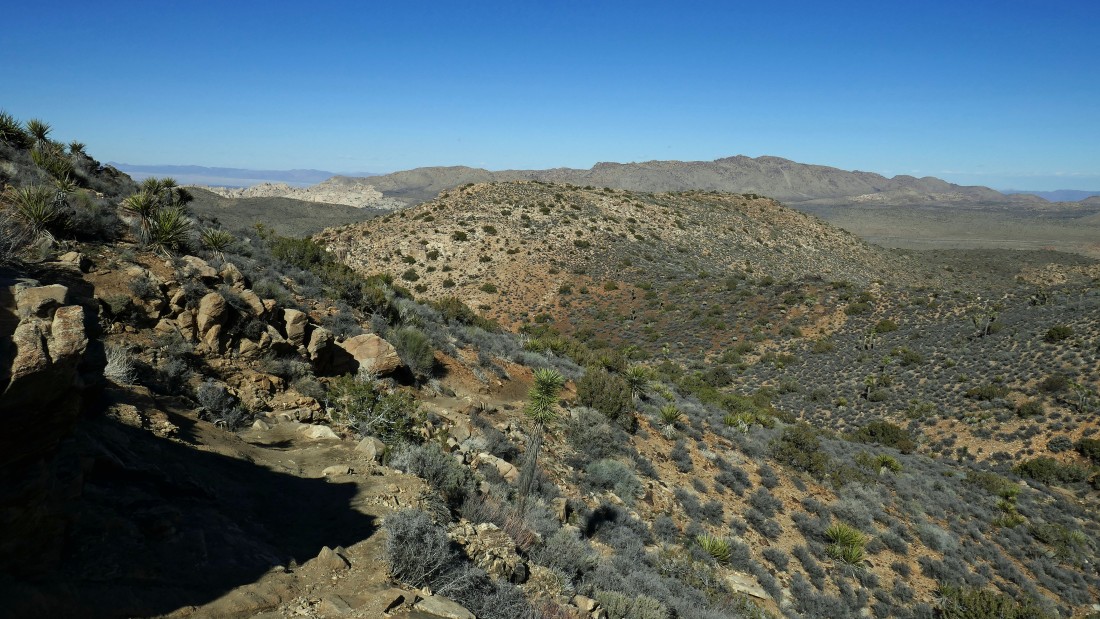
Leaving Joshua Benchmark and heading for Point 5238 in the right foreground... the summit of Ryan Mountain is on the far left.
|
Nearing the summit of Point 5238 and looking back at Joshua Benchmark in the left foreground... with Queen Valley and the Hexie Mountains beyond.
|
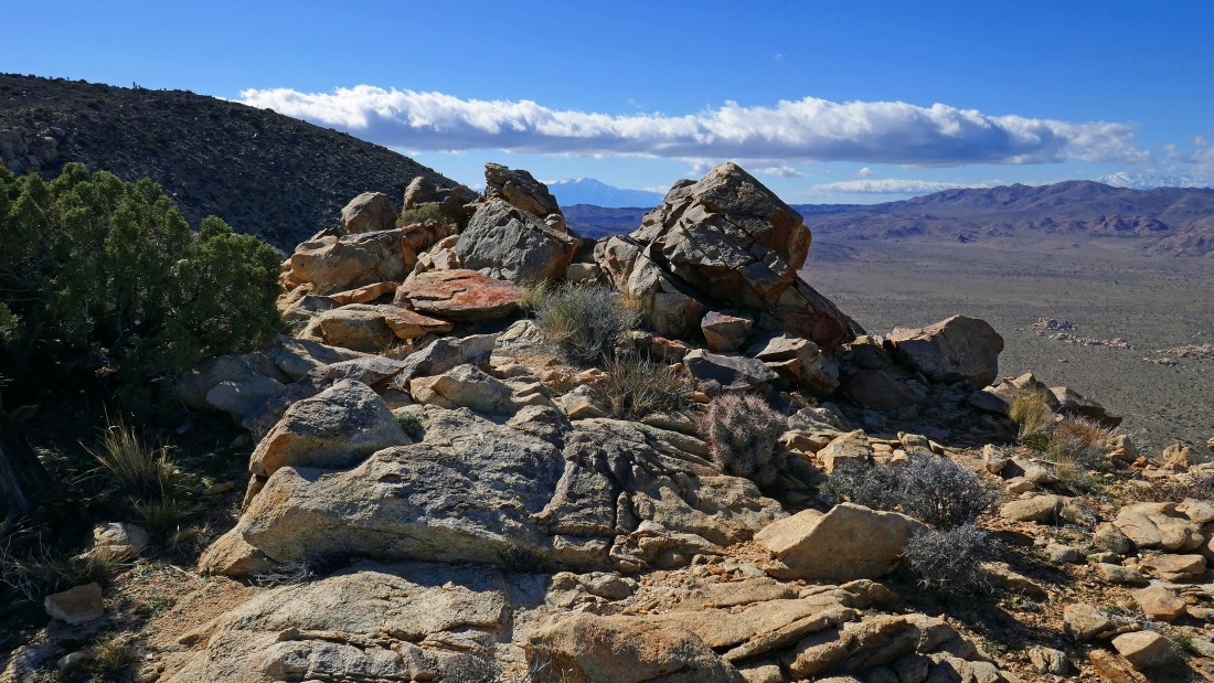
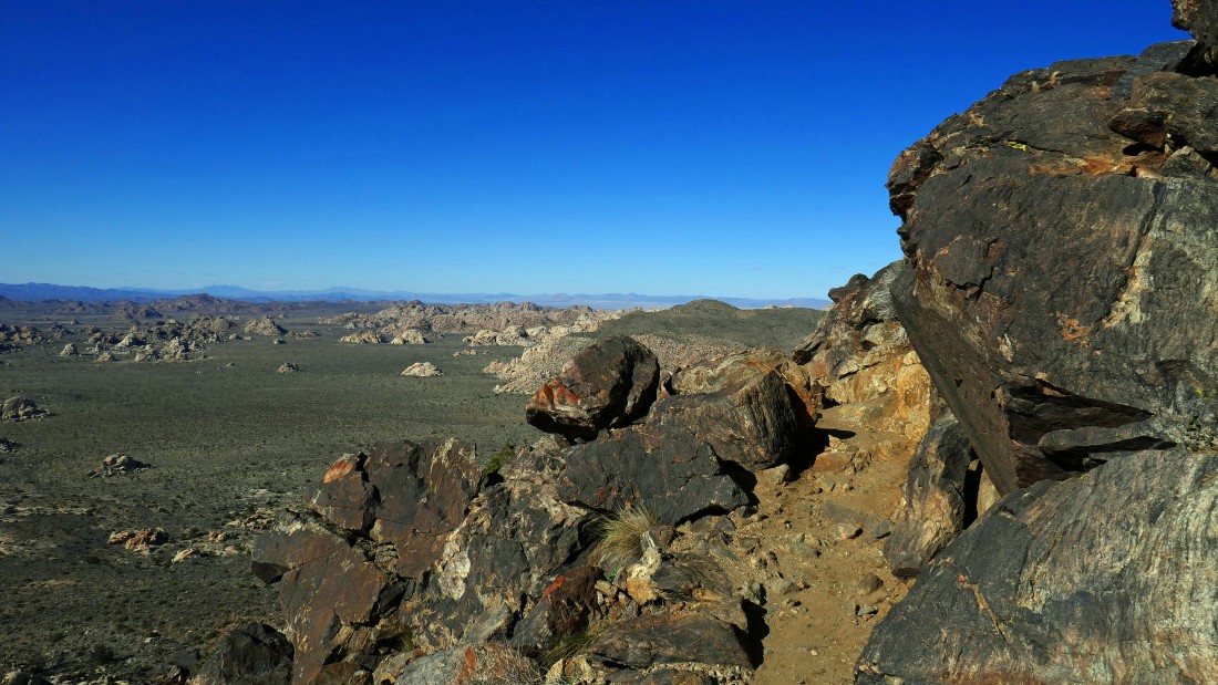
On the summit of Point 5238... looking down on Lost Horse Valley... Quail Mountain (the high point in the park) is on the extreme far left with a snow covered San Gorgonio Mountain beyond it.
|
From Point 5238... looking across Lost Horse Valley on the left to Quail Mountain... and across Queen Valley on the right to Queen Mountain.
|
On the summit of Point 5238... looking between the rocks in the center of the photo to San Jacinto Mountain on the horizon... and across Lost Horse Valley on the right to Quail Mountain... with a snow covered San Gorgonio Mountain beyond Quail.
|
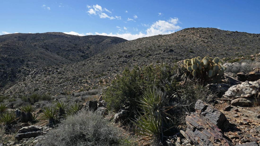
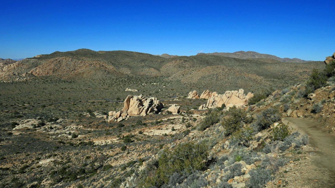
Leaving Point 5238 and giving up a little elevation to connect with the trail that will take me up to the summit of Ryan Mountain in the center of the photo.
|
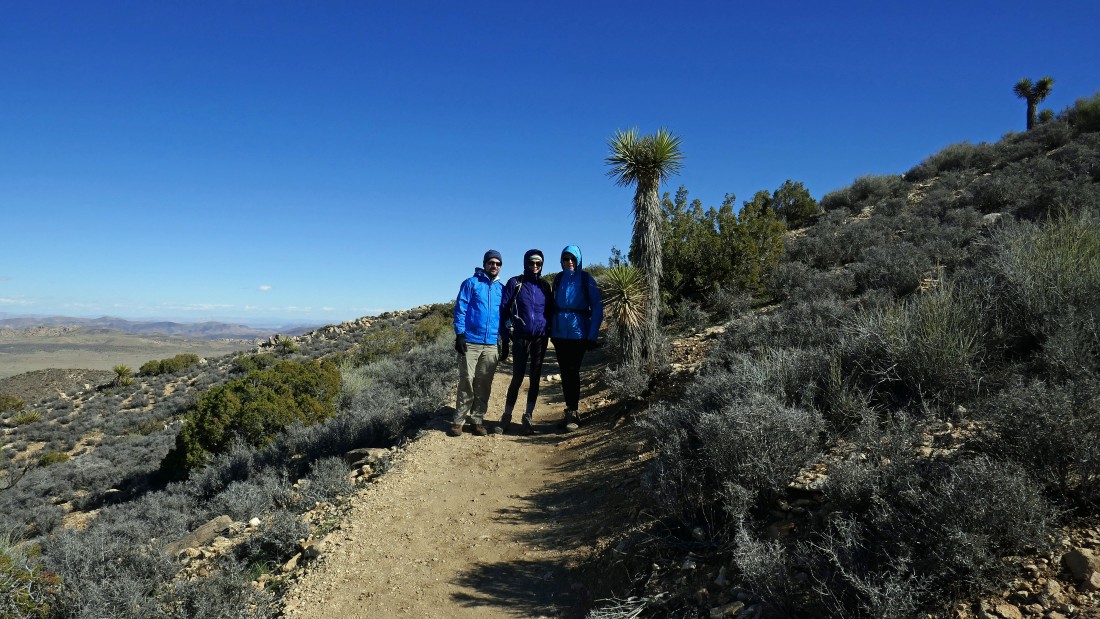
On the Ryan Mountain trail and heading for the summit to meet up with Denali Girl, my niece Kelly and her husband Ryan... yes, the mountain was named after Kelly's husband... and if you believe that, I have some property in the Florida swamps that you might be interested in.
|
Gaining elevation on the Ryan Mountain Trail... looking back across Point 5238 in the center foreground to Queen Mountain.
|
The cold temperature and wind have blown Ryan, Kelly and Denali Girl off of the summit and they are heading back down to the car... I will go on up to the summit and then head down to join them.
|
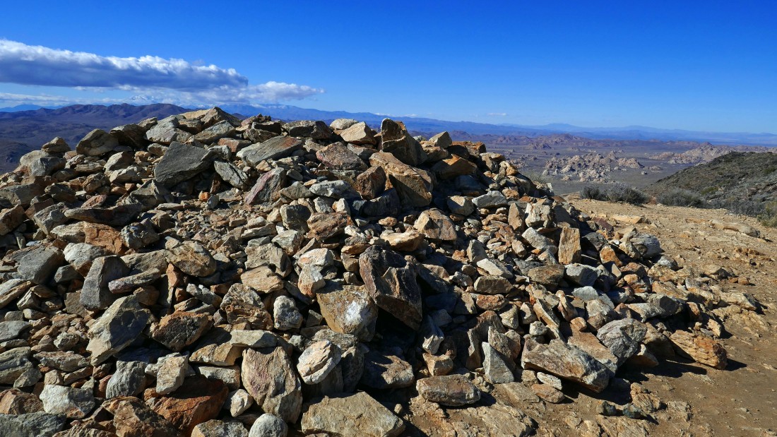
The pile of rocks on the summit (5457') of Ryan Mountain... looking down on Lost Horse Valley on the right... with Quail Mountain in the distance on the left.
|
From the Ryan Mountain summit... looking across Lost Horse Valley on the left to Quail Mountain and a snow covered San Gorgonio Mountain... with the 'Wonderland of Rocks' in the center of the photo... and looking across Queen Valley on the right to Queen Mountain.
|
A closer look at the 'Wonderland of Rocks' from the summit of Ryan Mountain.
|
Leaving the Ryan Mountain summit and heading for the car... Point 5238 is in the right foreground.
|
On the Ryan Mountain Trail... heading for the car... Lost Horse Valley below.
|
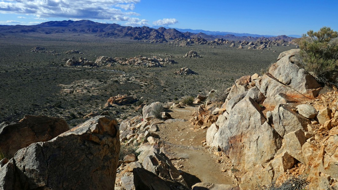
Heading for the car... looking across Lost Horse Valley to Quail Mountain... the 'Hall of Horrors' is located in the large grouping of rocks out there in the valley... we will visit the hall after we finish this hike, but photos from that adventure will be in a separate photo set.
|
I can see the large parking area for Ryan Mountain... with Queen Mountain on the right horizon... this trip was 3.6 miles, gaining 1260 feet of elevation.
|
