Points 4952, 4836 and 4804 - 2.12.2019

From the west entrance pay station of Joshua Tree National Park... drive 12.5 miles on Park Blvd and turn right into the Ryan Mountain parking area.
|
I will cross Park Blvd and head cross country for several high points up there on that little range of mountains located between Ryan Mountain and Queen Mountain.
|
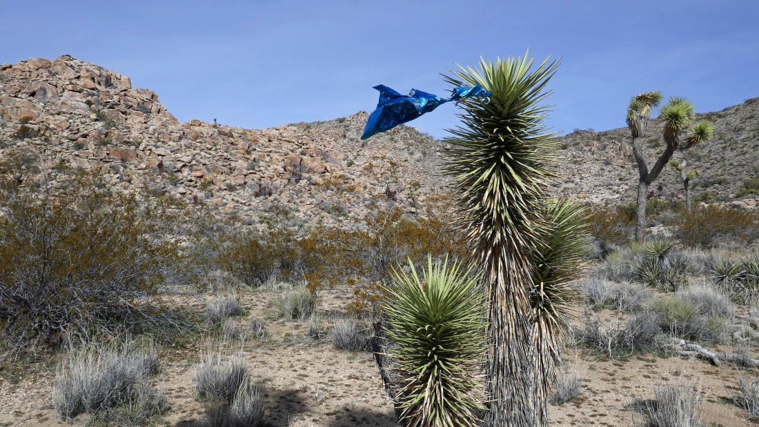
Didn't expect to see a ballon, but I can guarantee you that it isn't there anymore... almost ready to leave the desert floor and head up.
|
Gaining elevation and looking back at Ryan Mountain and the parking area.
|
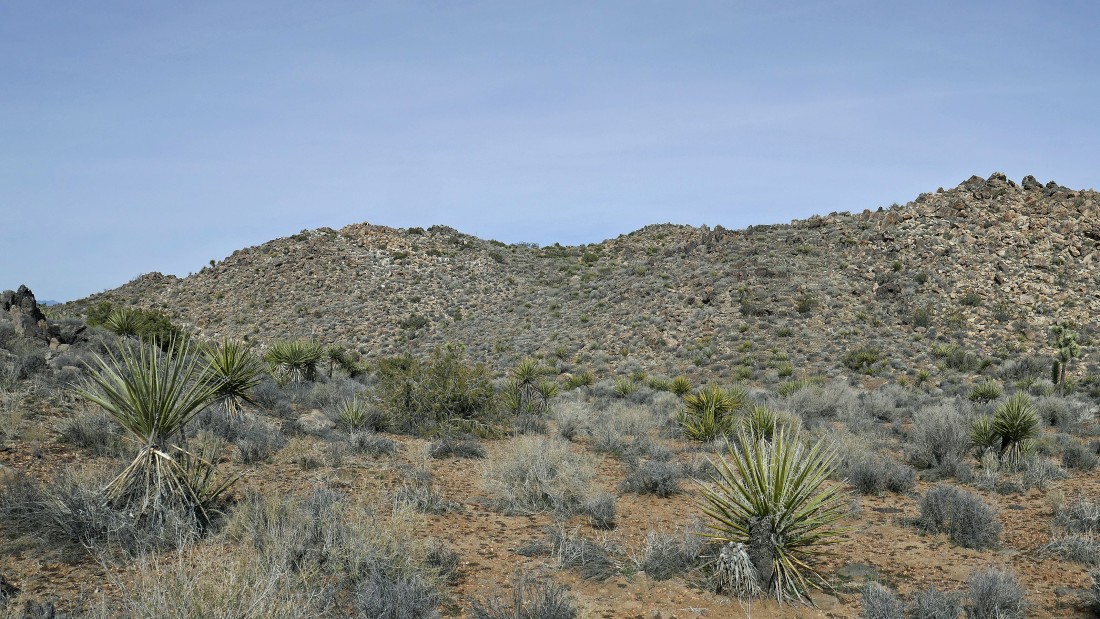
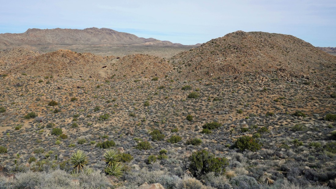
Everything kind of looks the same... I will keep going up until I can see the highest point... I think it is the little bump back there in the middle of the photo.
|
|
Gaining elevation and looking across Lost Horse Valley to Hidden Valley which is located in the center of those rock formations in the left foreground... San Jacinto Mountain is on the far left... with Quail Mountain and San Gorgonio Mountain to the right of Jacinto... the Wonderland of Rocks is in the right-center of the photo.
|
A closer look at the Hidden Valley area in the right foreground... with San Jacinto Mountain (left horizon)... Quail Mountain (center)... and San Gorgonio Mountain on the right horizon.
|
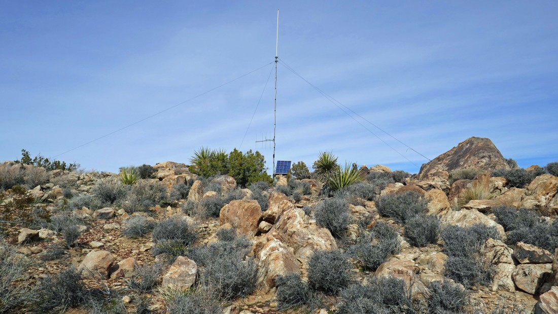
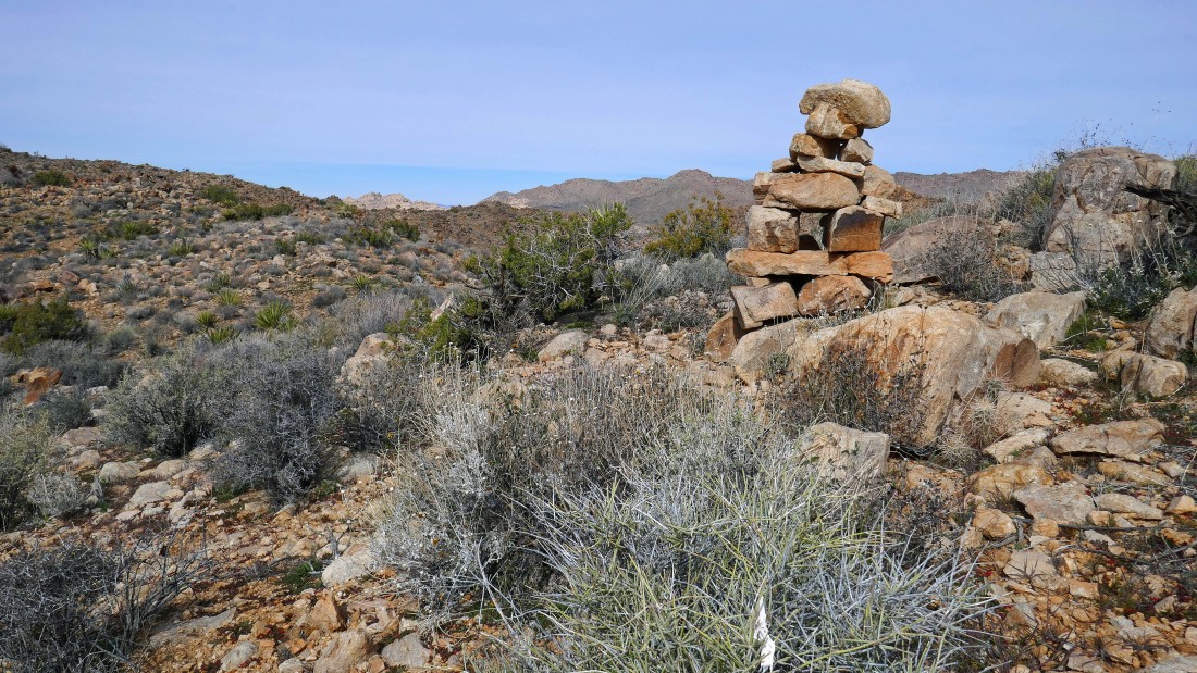
I have arrived at Point 4952... there is a solar powered antenna on top.
|
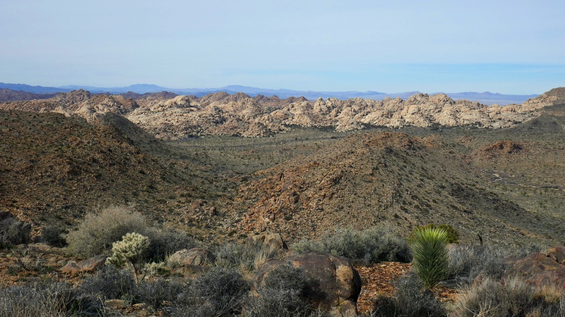
Broad views from Point 4952... Hidden Valley and San Gorgonio Mountain on the left... Wonderland of Rocks in the center... and looking across Queen Valley to Queen Mountain on the right.
|
Looking across Queen Valley to Queen Mountain on the left... I will visit Point 4804 (right center foreground) later in the day.
|
|
I have left Point 4952 and heading for Point 4836 in the right foreground... with Point 4804 just beyond it... Queen Mountain is on the left-center horizon.
|
On Point 4836... Point 4952 is in the left foreground... Wonderland of Rocks and Queen Mountain are in the center of the photo... I will be heading for Point 4804 (right foreground) next.
|

Before I get to Point 4804 I will visit those 3 mine shafts below... they are located a short distance west of Point 4804.
|
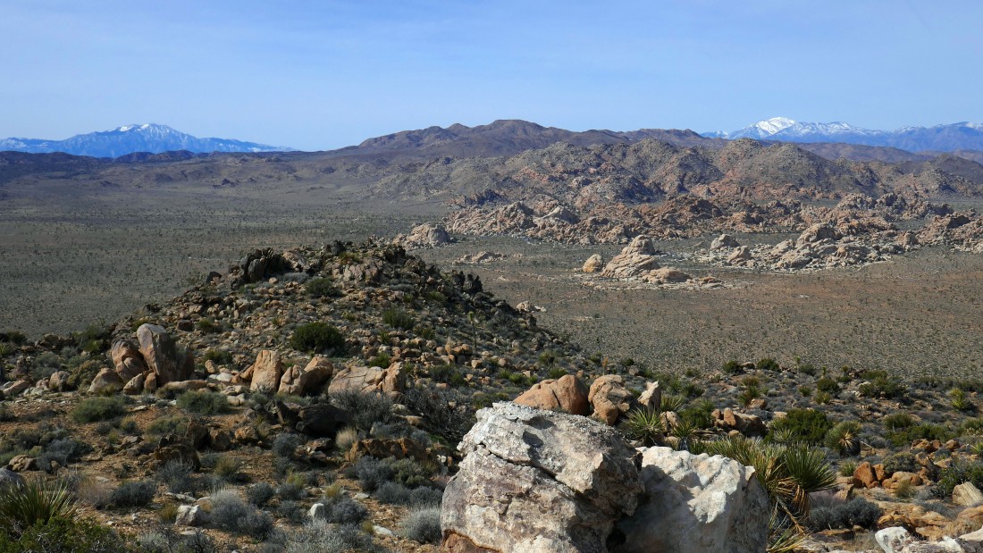
A pano shot from Point 4836... Point 4804 is in the left foreground... with Ryan Mountain on the right... the broad valley beyond is part of Queen Valley... and I can see a little bit of Lost Horse Valley to the right of Ryan Mountain.
|
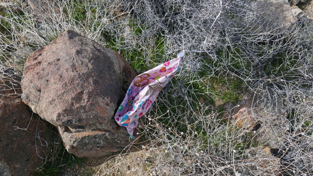
Another ballon... people, people, people... please!
|
Heading down from Point 4836 and heading for the 3 mine shafts in the left foreground... Point 4804 is in the right foreground... with Queen Mountain in the distance on the left.
|
On my way to the mine shafts... pretty obvious that I'm not the first person who has visited this place.
|
Crossing a wash to get over to the mine shafts.
|
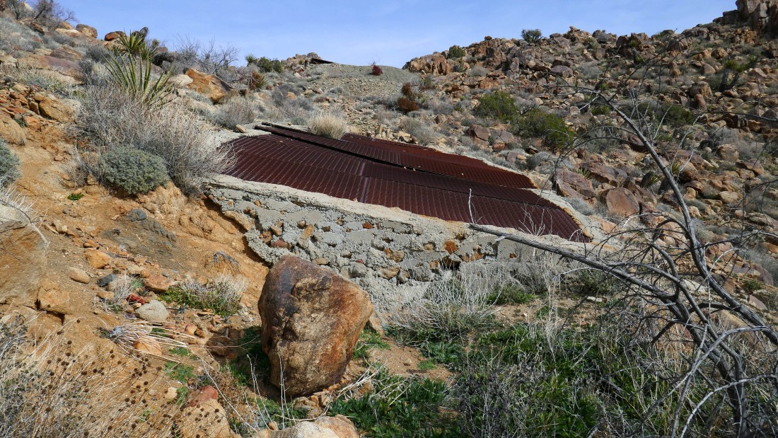
The second mine shaft... with the third one up above.
|
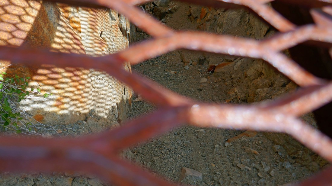
The shafts were pretty much filled in with dirt and rocks.
|
|
A pano shot from the mine shafts... looking back at part of my route... Point 4836 on the left... and Point 4952 on the right.
|
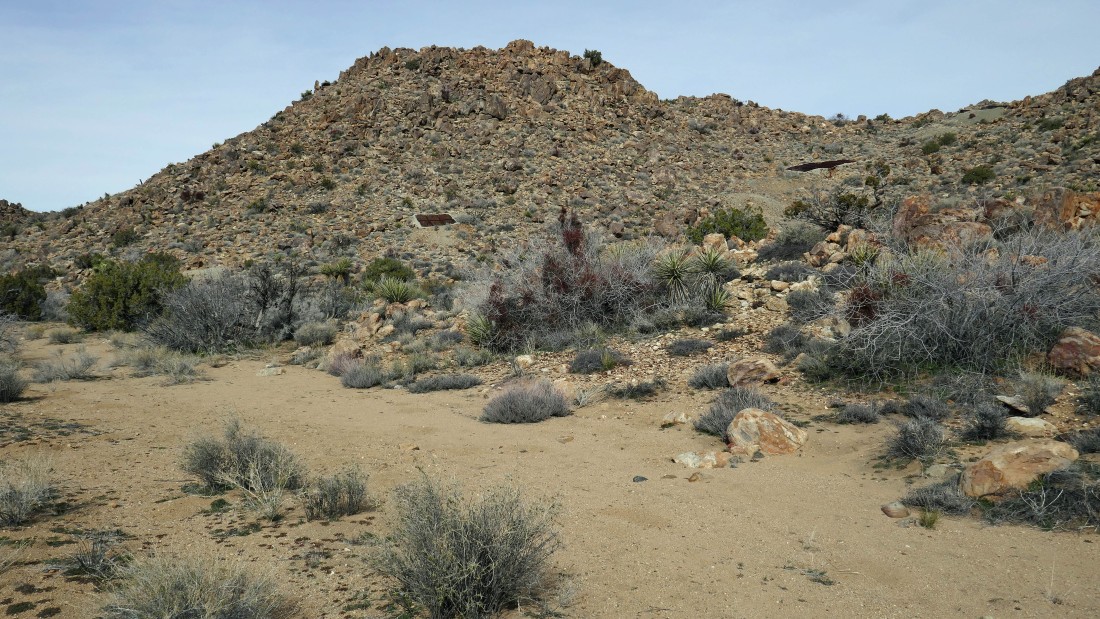
Time to head up to Point 4804... I will go around to the right.
|

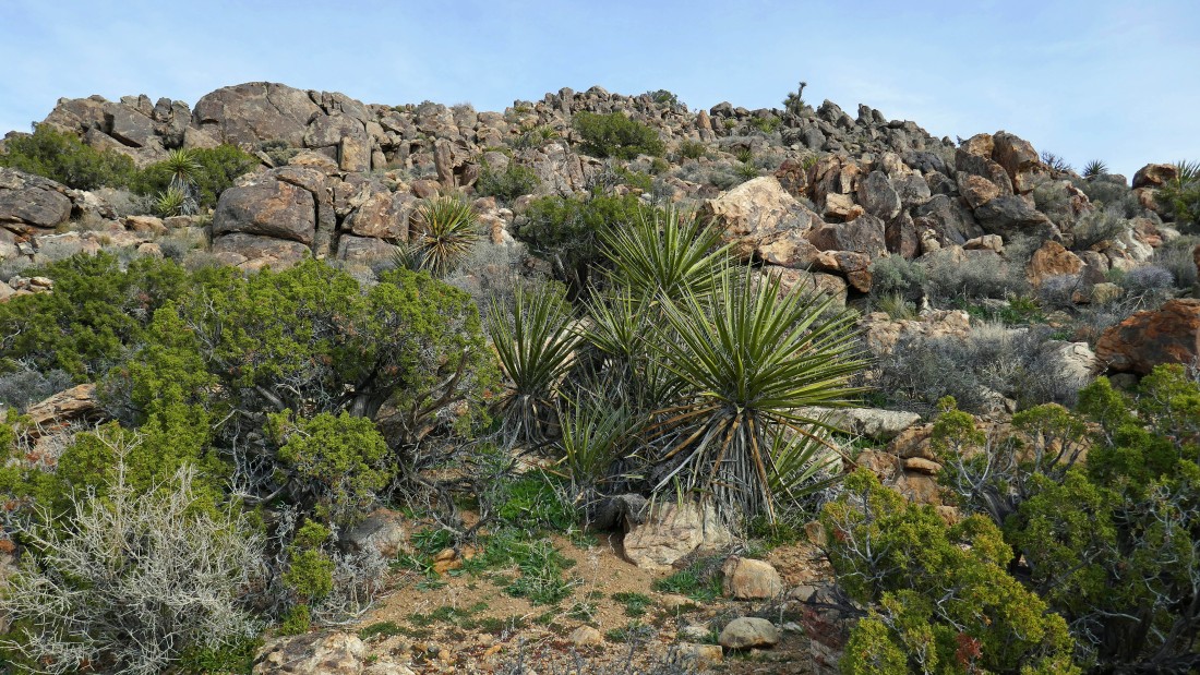
Lots of big boulders, but easy to negotiate.
|
Working my way up to Point 4804.
|
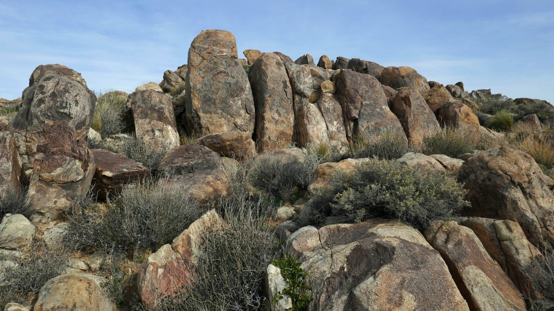
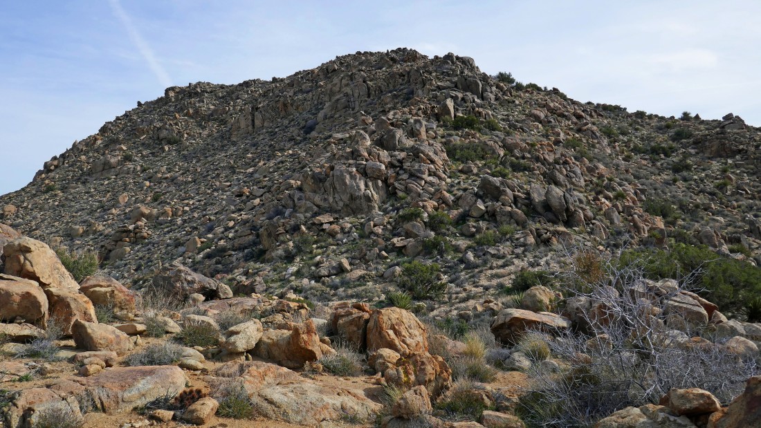
Still looking for the top of Point 4804... almost there, but I have to get around this rock formation that kind of reminds me of stonehenge.
|
|
On top of Point 4804... looking across the very huge Queen Valley to Queen Mountain.
|
Ryan Mountain is on the right and a continuation of Queen Valley on the left.
|
The Wonderland of Rocks from Point 4804.
|
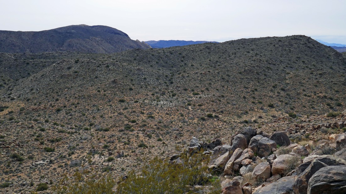
Leaving Point 4804... I will need to give up a little elevation and then get up and over the ridge line in the foreground before I can get back to the car... part of Ryan Mountain is on the left horizon.
|
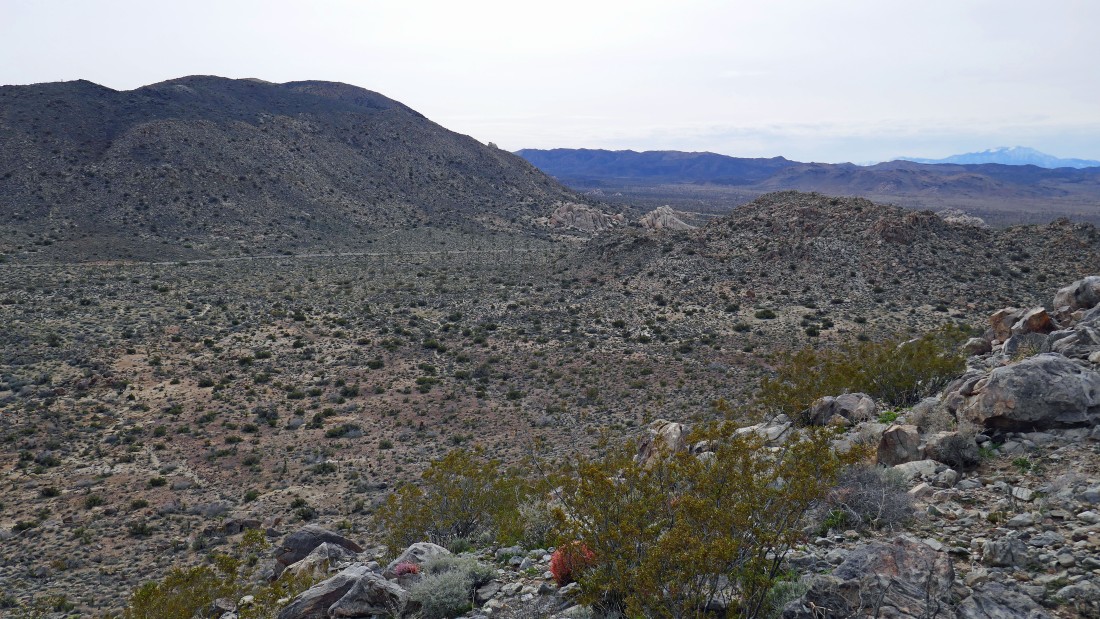
I reached the ridge mentioned in the previous photo... less than a mile of hiking will get me back to the car... down to those light colored rock formations in the center of the photo... my loop hike was 4 miles... gaining 1220 feet of elevation.
|
