Split Rock - 2.18.2019
|
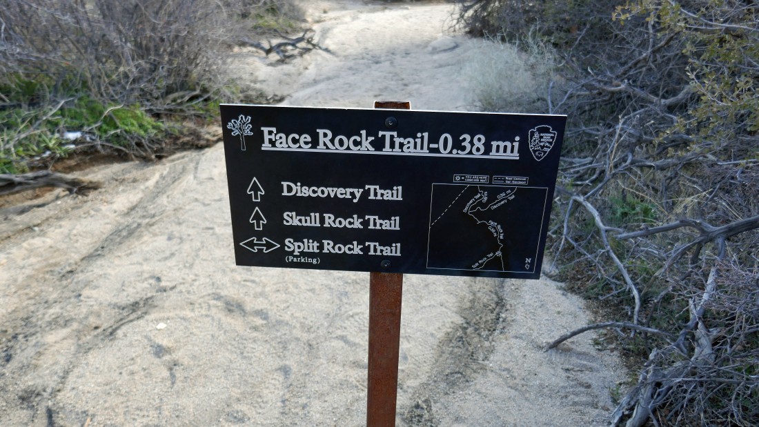
From the north entrance pay station of Joshua Tree National Park... drive 6.8 miles on Park Blvd and turn right onto Split Rock Road... then drive .6 miles to the trailhead at the end of the road.
|
Starting out from the parking lot in a clockwise direction on the Split Rock Loop Trail.
|
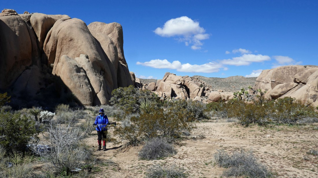
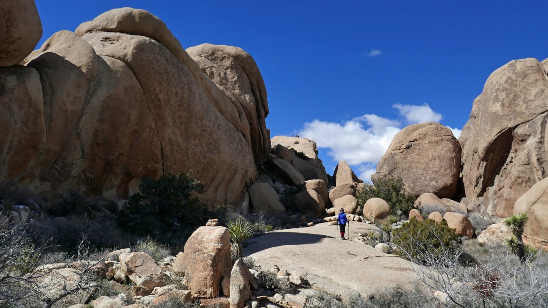
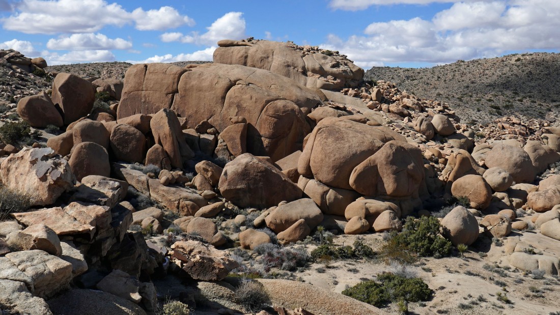
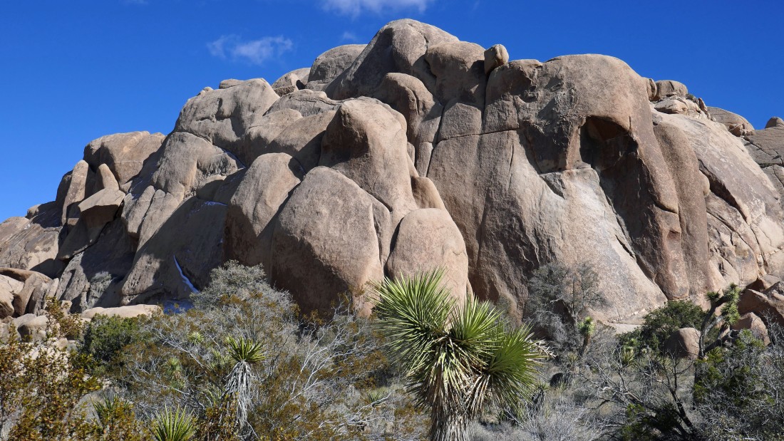
After hiking the trail for less than a half-mile we turned SE into the canyon just beyond the more popular Grand Canyon.
|
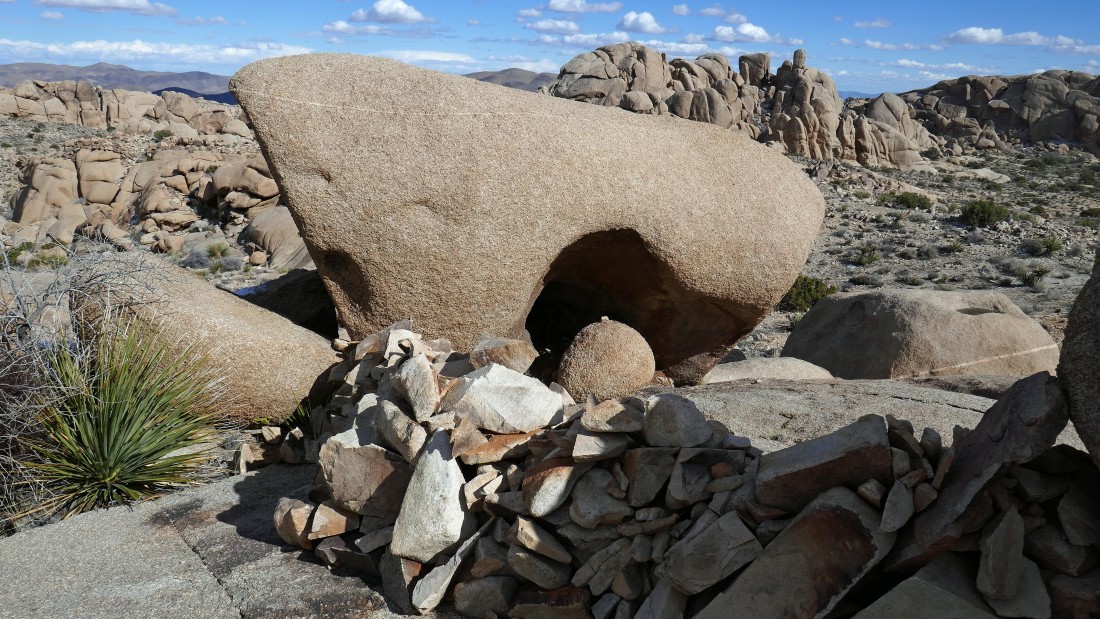
Nanda checks out a little cave in the rock.
|
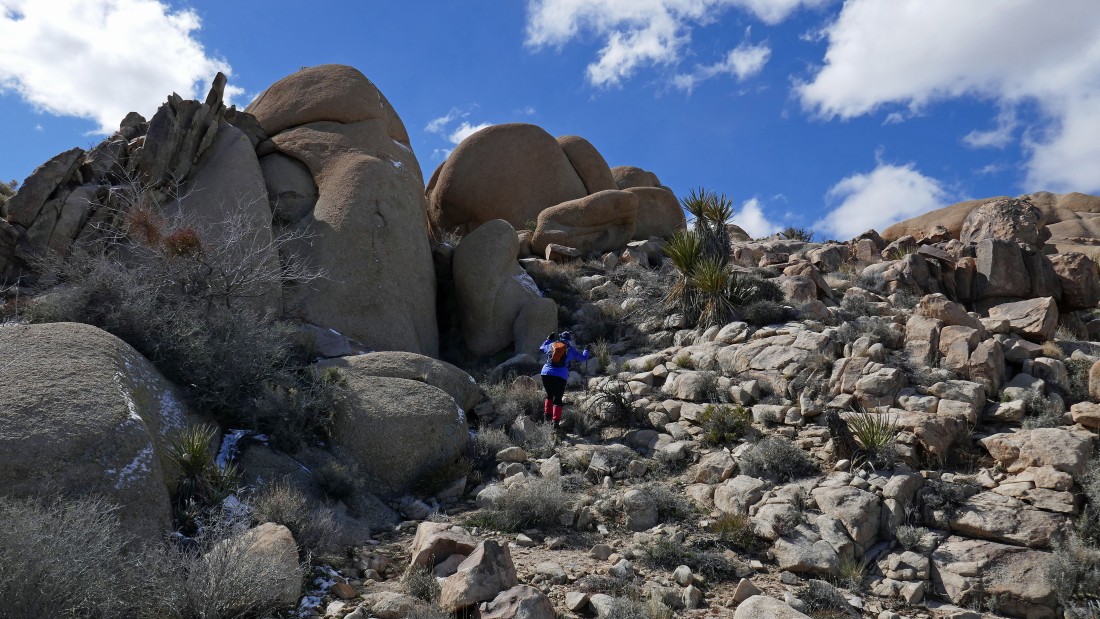
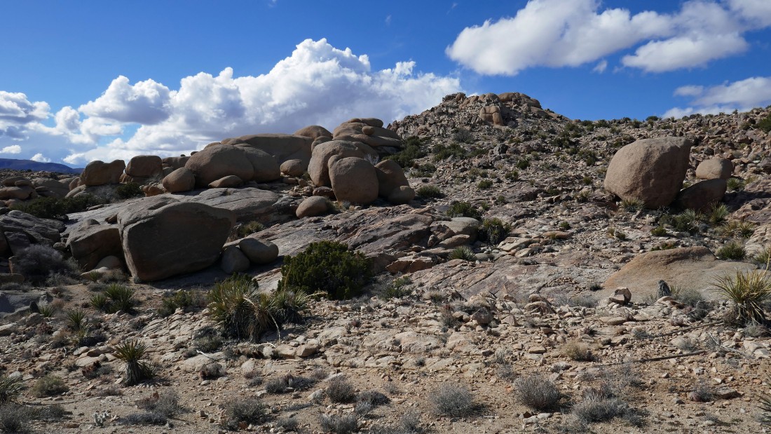
Heading up to a little high point.
|
|
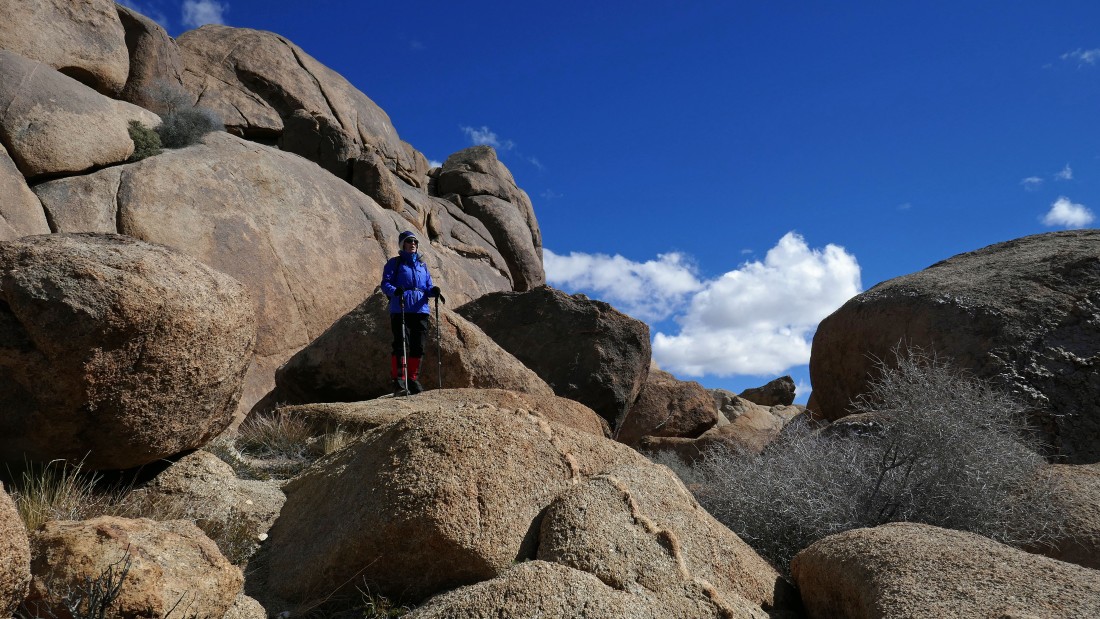
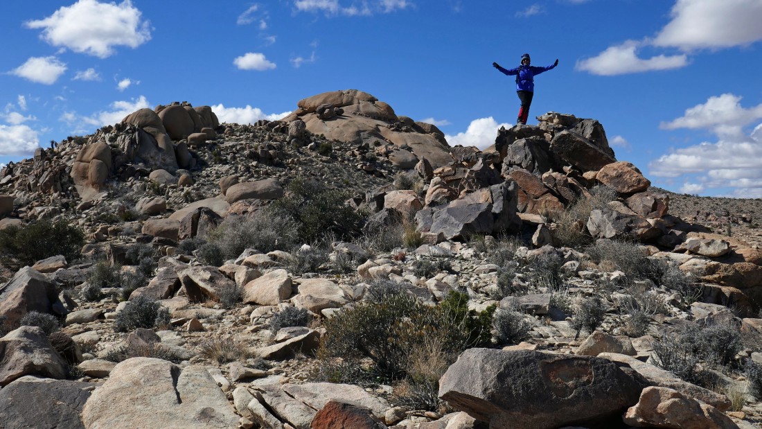
Nanda at our first high point.
|
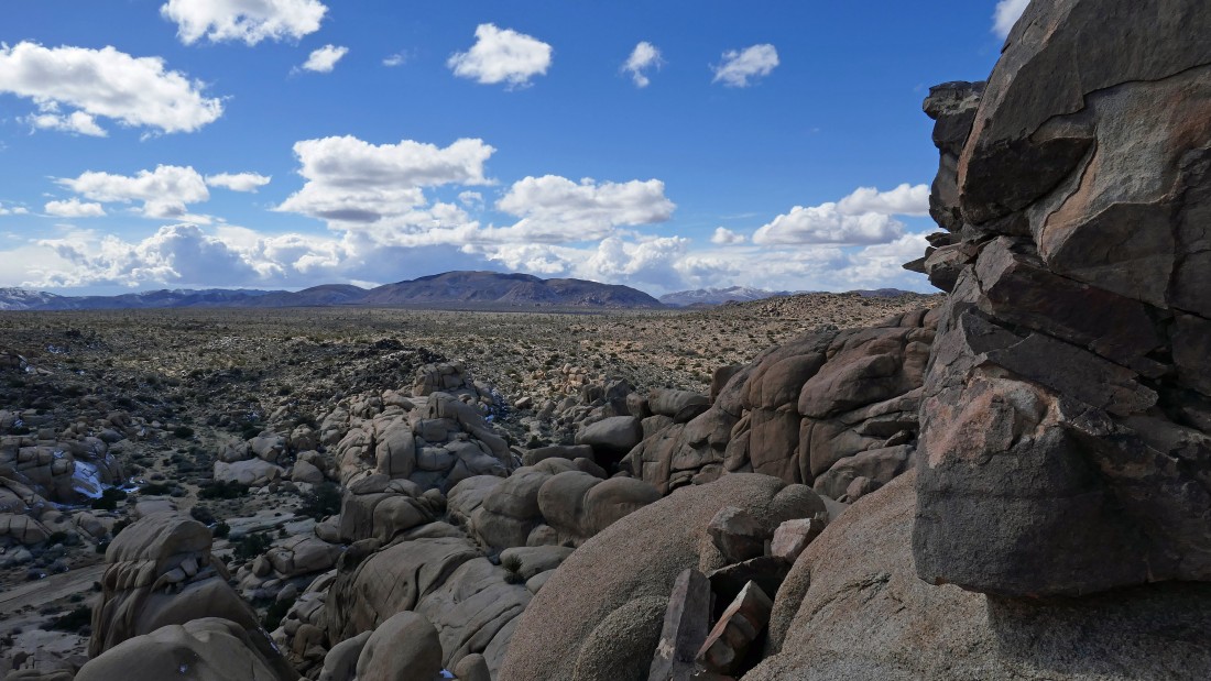
From the high point we can see the parking lot in the distance... and we are looking down into Grand Canyon in the left foreground.
|
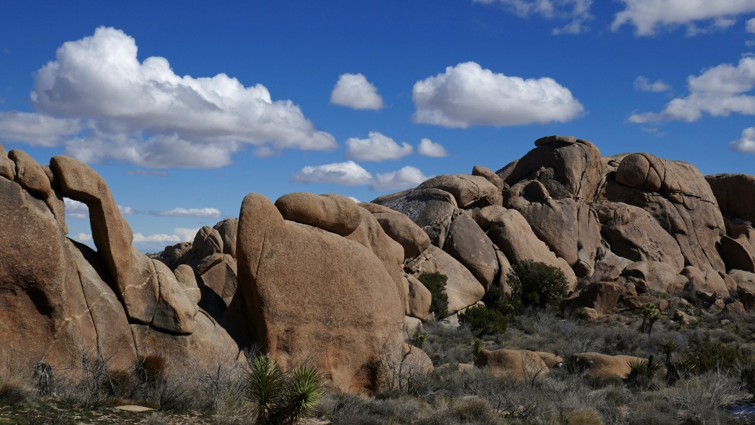
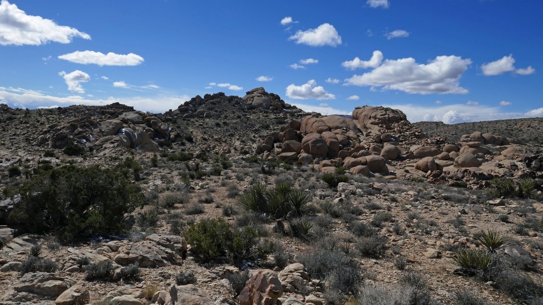
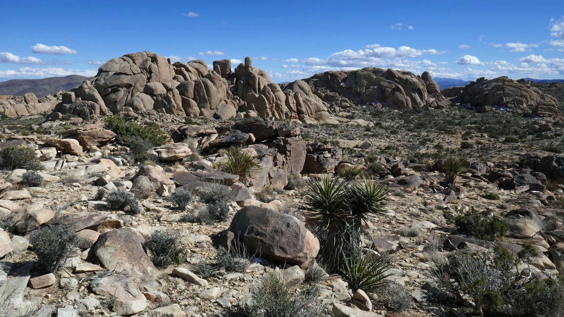
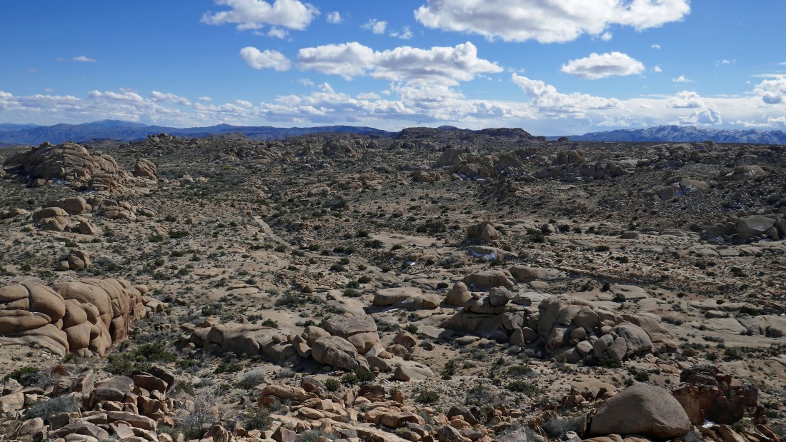
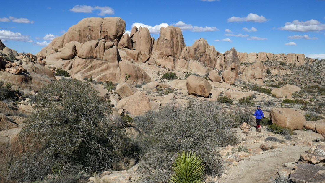
Broad views from our high point... we didn't know it at the time, but we will visit the two bumps in the distance on the right.
|
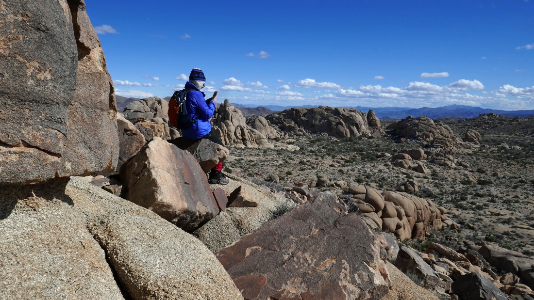
We saw this interesting looking area from our high point and decided to check it out... is it a dance floor?
|
Love the window on the left... as viewed from the dance floor.
|
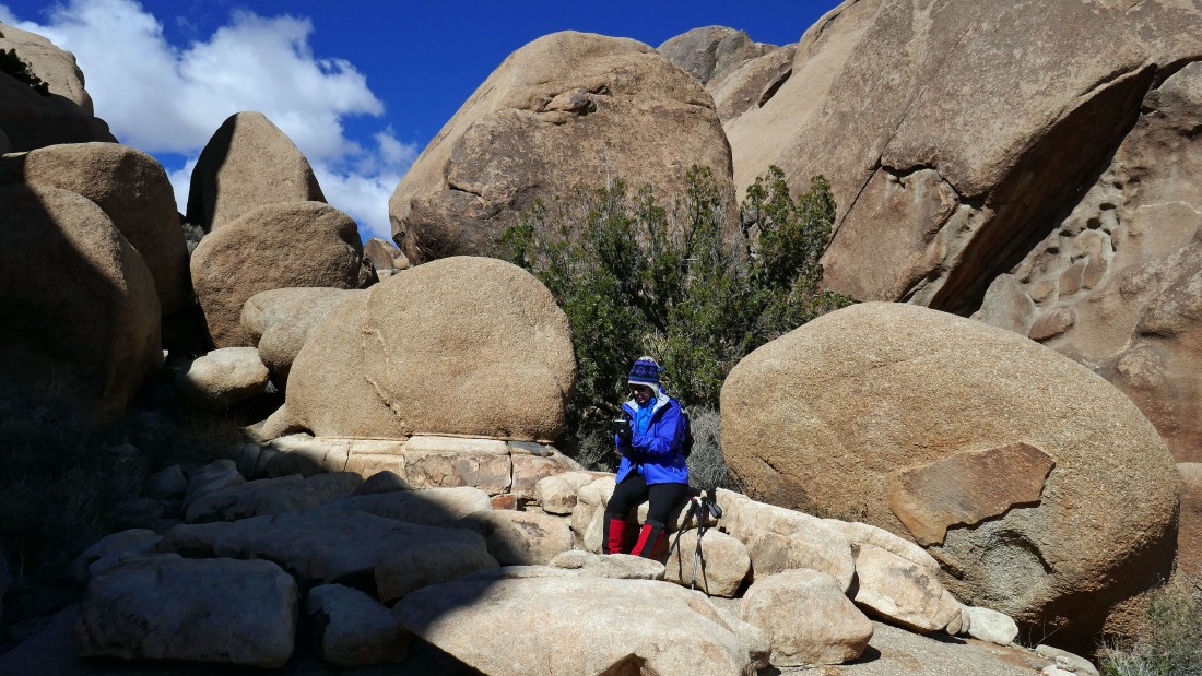
Nanda relaxes in the dance floor seating area.
|
We decided go up beyond the dance floor to see where it leads.
|
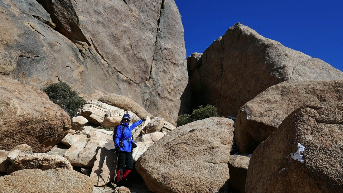
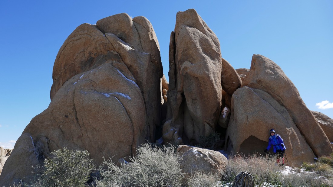
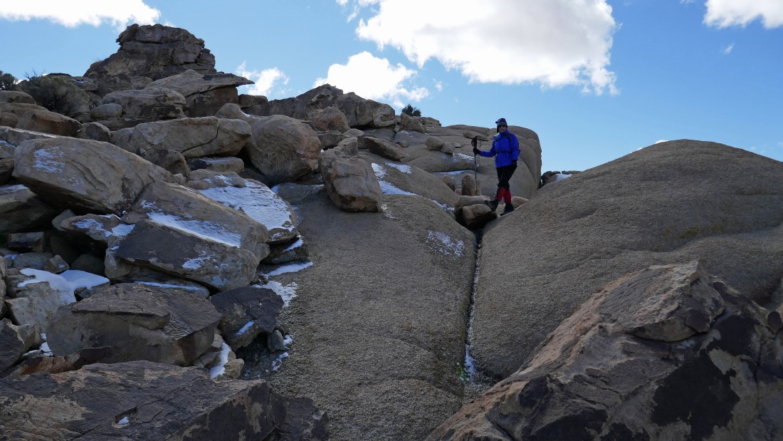
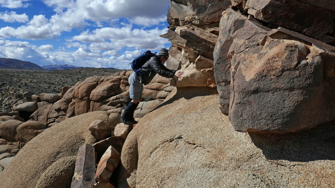
Ah ha... Nanda points to the backdoor entrance to the 'Cling or Fling Corridor'... Denali Girl and I did the corridor earlier on our vacation, so I knew that we could continue down from here.
|
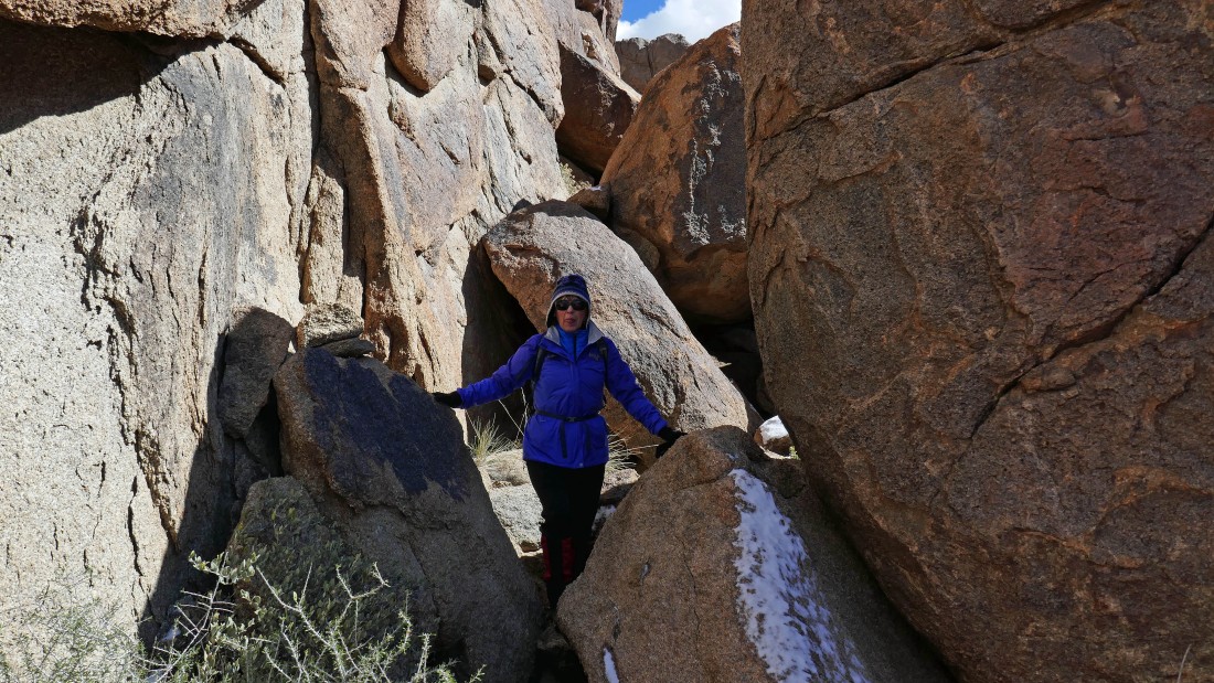
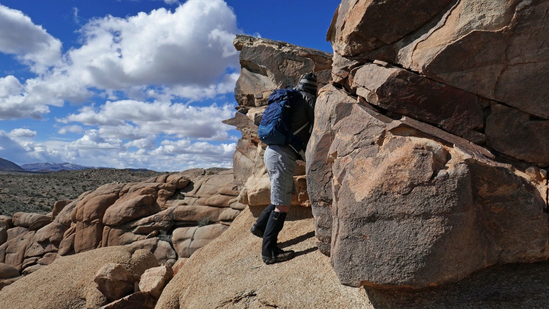
Continuing down from the corridor... is Nanda sticking her tongue out at me?
|
Continuing down from the corridor.
|
|
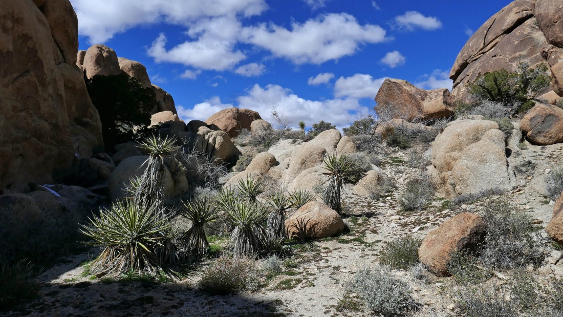
I thought that we might rejoin the Split Rock Loop trail after coming down from the corridor, but Nanda decided to lead us cross country toward the rock formation above.
|
Nice view looking back at our route.
|
Looking back.
|
A broader view looking back at our route.
|
Continuing cross country... check out the little speck on the horizon of the huge rock formation in the left foreground... yes, it is a climber.
|
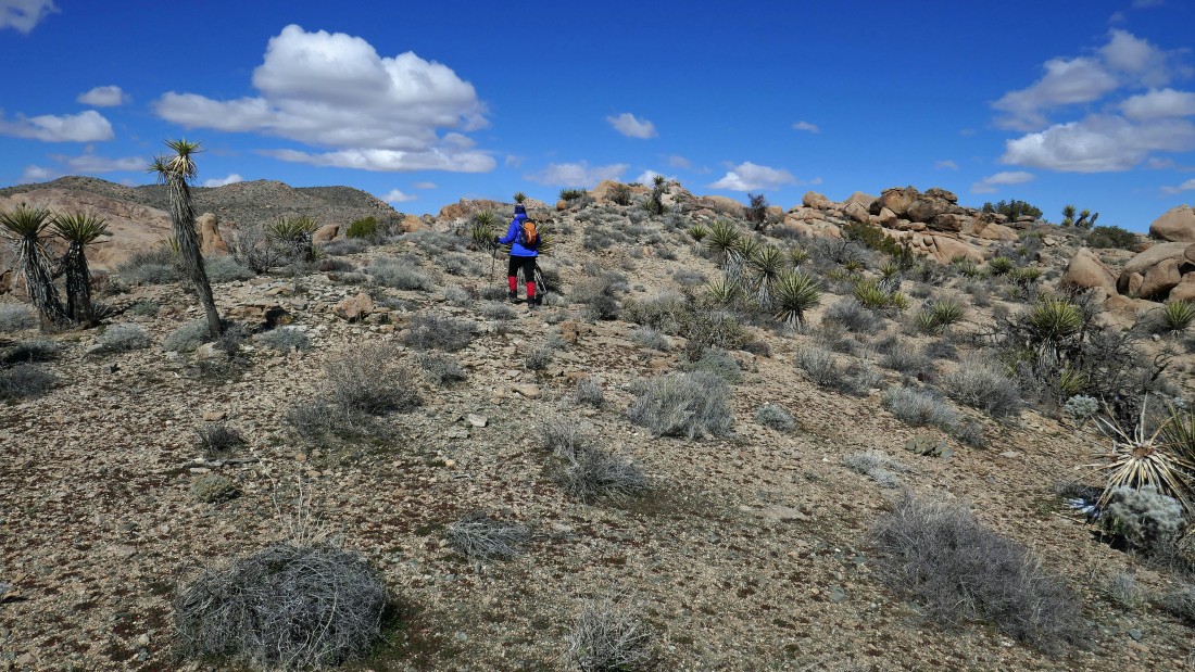
Okay... lets keep going cross country and head for the two high points in the center of the photo.
|
Nanda leads the way.
|
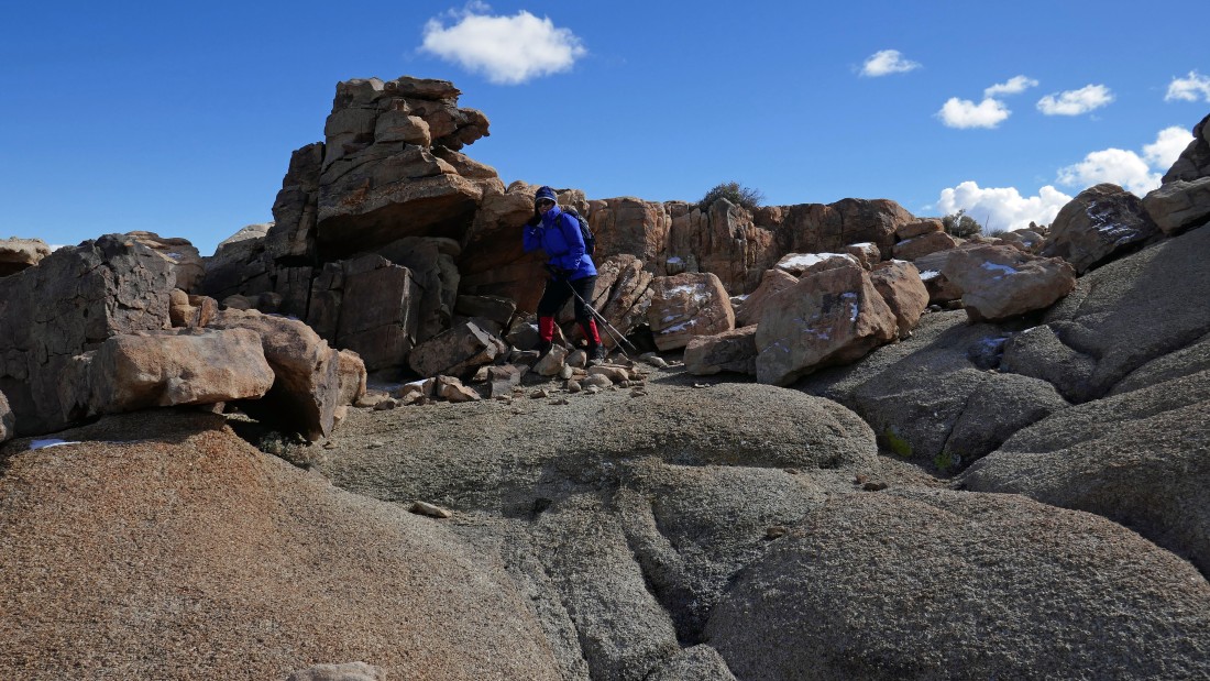
Nanda supports the large pile of rocks.
|
Rocks.
|
More rocks.
|
|
Heading for the rock formation on the right horizon.
|
Ta-da... look ma, no hands... our high point for the day is in the distance.
|
Looking back.
|
Nanda is still leading.
|
Working around the lower of the two high points... looking for an easy way to the top... looking across Queen Valley to Ryan Mountain in the distance.
|
I'm searching for an easy way to the top... while Nanda checks her email.
|
Nanda got this shot of me looking for a way to the top.
|
Yes... this will get me to the top.
|
Broad views from the top... looking across Queen Valley to Ryan Mountain in the right center of the photo.
|
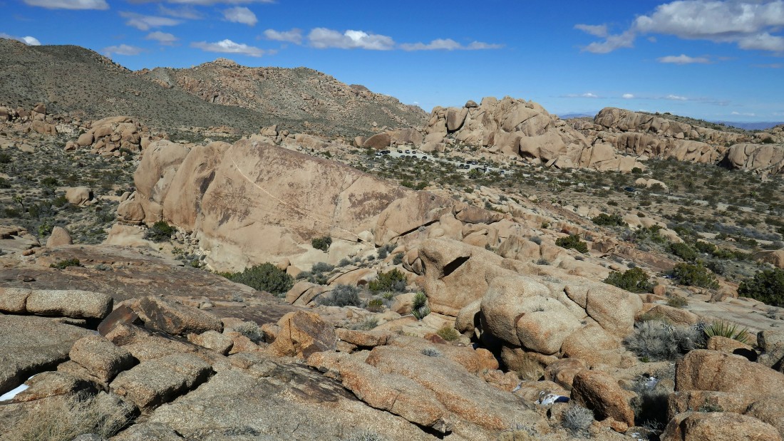
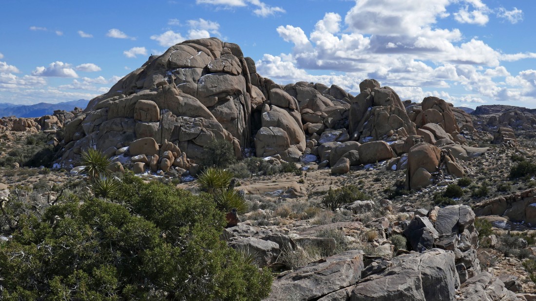
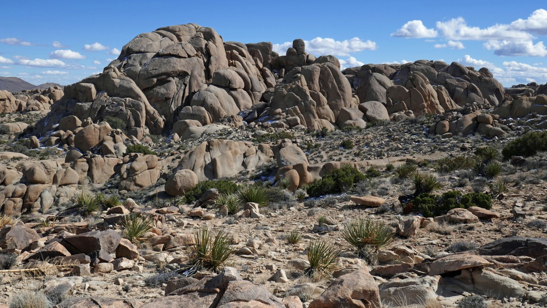
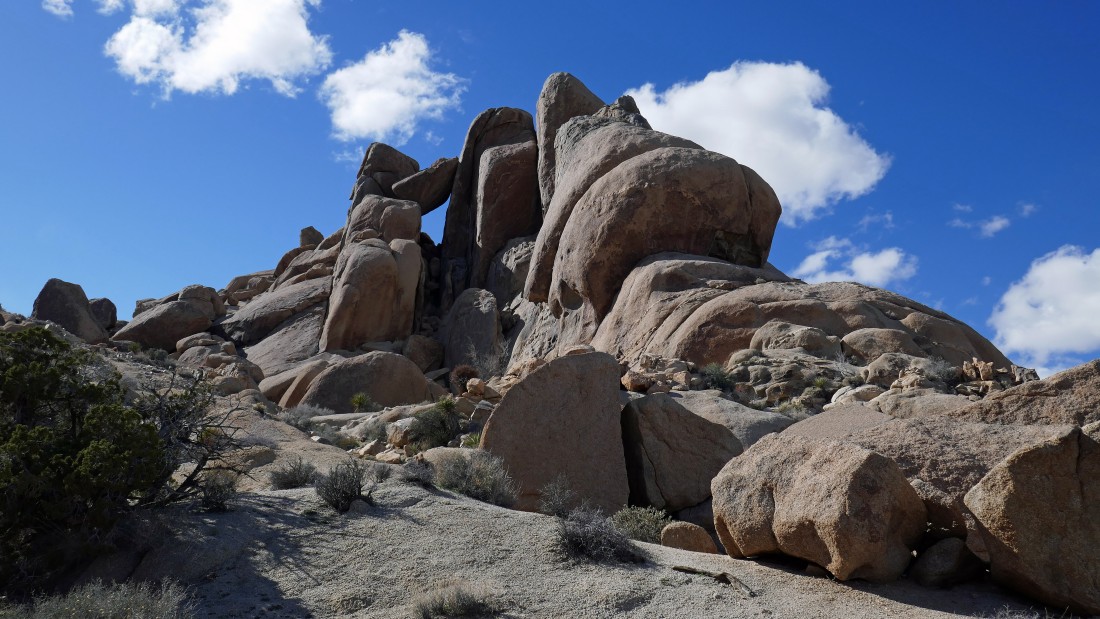
Looking back at the rock formations located near Split Rock.
|
Looking over at the rock formations at the Jumbo Rocks area and the Live Oak Picnic area.
|
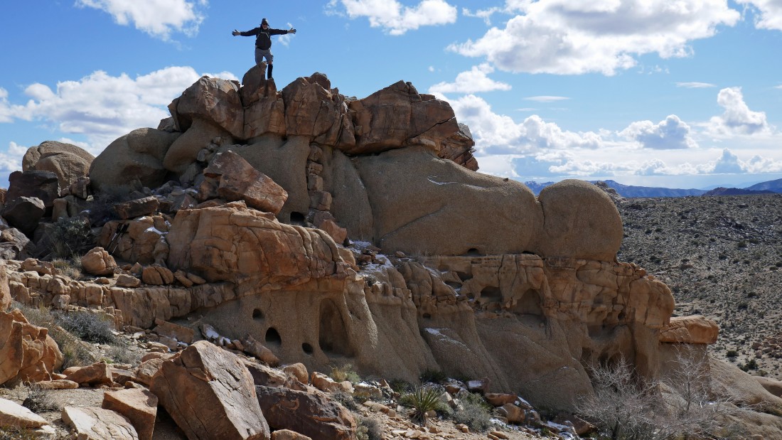
Nanda got this shot of me 'acting out' on our high point (30 feet lower than Point 4538 which is a stones throw away) for the day... the side of the rocks below me reminds me of a miniature version of the cliff dwellings at Mesa Verde.
|
We are heading down from our high point... we didn't see this on the way up... someone has constructed a stone wall windbreak.
|
Looking back at our high point as we continue down.
|
We have found the Split Rock Loop Trail... and will follow it back to the car.
|
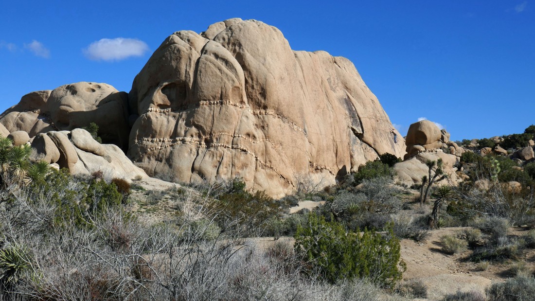
Yes... that is a face in the rock on the far right.
|
Continuing on the main trail and heading for the barn.
|
Looks like another corridor to me.
|
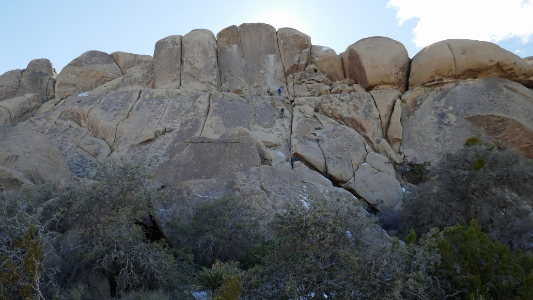
Three climbers in the center of the photo.
|
Looking up Grand Canyon as we near the car... there is a climber low on the face in the right center of the photo... our hike was 2.5 miles, gaining 575 feet of elevation.
|
