Mount Mel - 2.27.2019
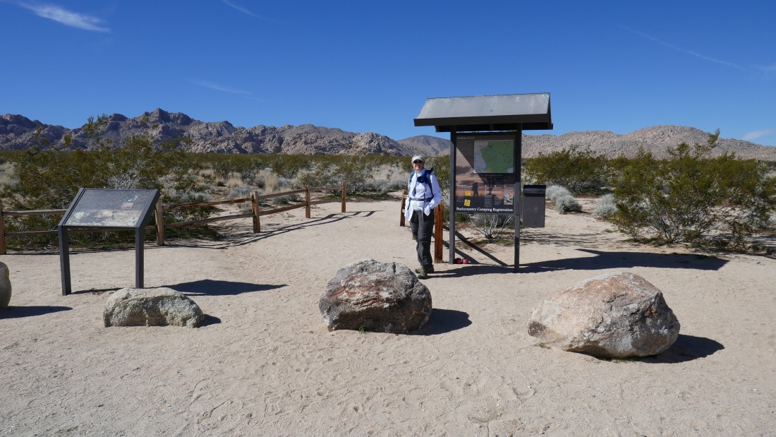
From Hwy 62 near the town of Twentynine Palms... turn onto Indian Cove Road and drive 1.5 miles to the Boy Scout Trailhead.
|
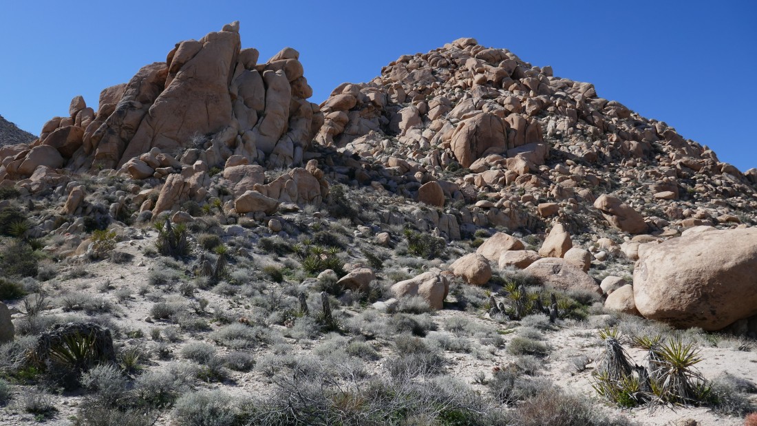
Hiking the Boy Scout Trail... in this photo the trail is heading directly for the pile of boulders known as Point 3814 (aka Mount Mel).
|
Still on the Boy Scout Trail... getting closer to Mount Mel in the center of the photo.
|
Looking back at Yucca Valley and the town of Twentynine Palms as we continue on the Boy Scout Trail.
|
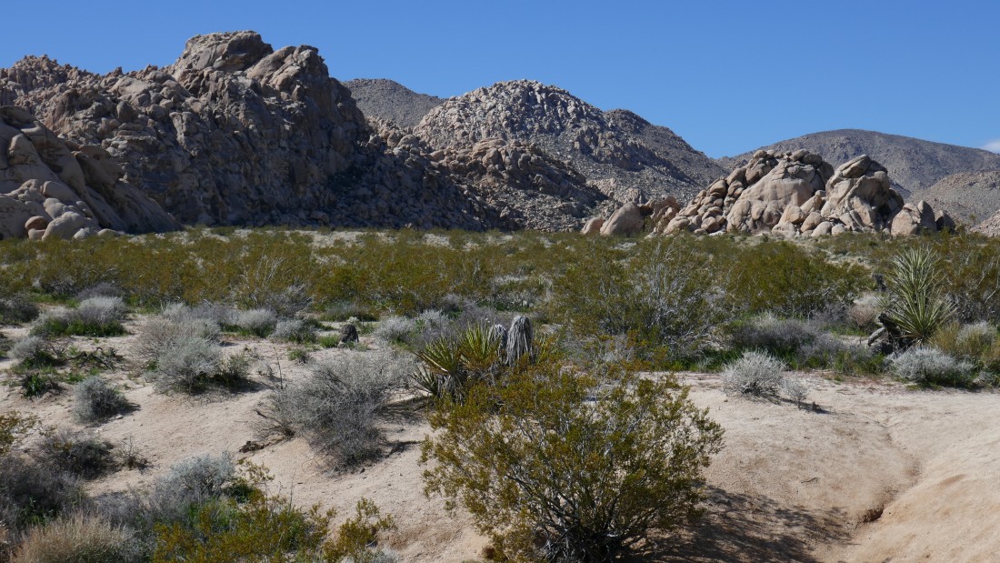
Starting to gain a little more elevation on the BST.
|

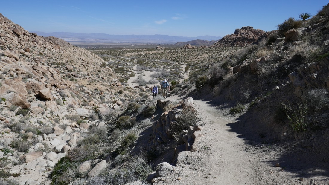
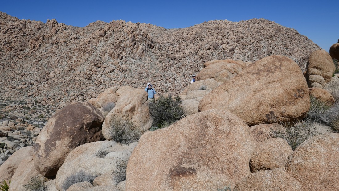
At ~3200 feet (after hiking ~2 miles) we left the Boy Scout Trail and started working our way up toward Mount Mel.
|
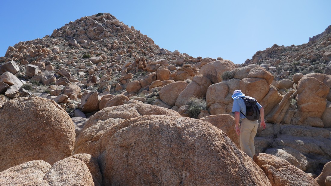
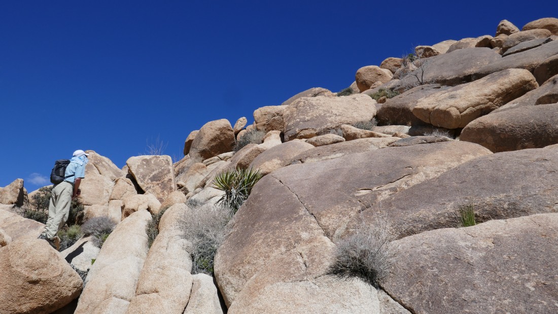
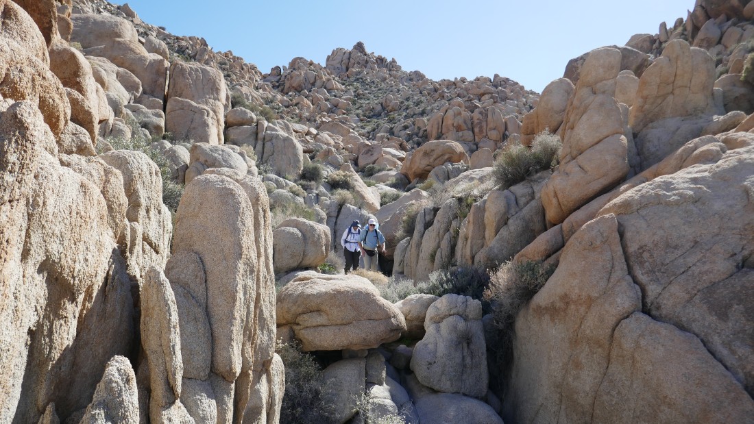
rocman working some of the rugged terrain on the way to the base of Mount Mel.
|
Still gaining elevation on our way to Mount Mel.
|

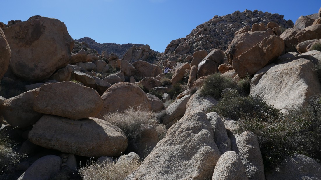
Boulders, boulders and more boulders.
|
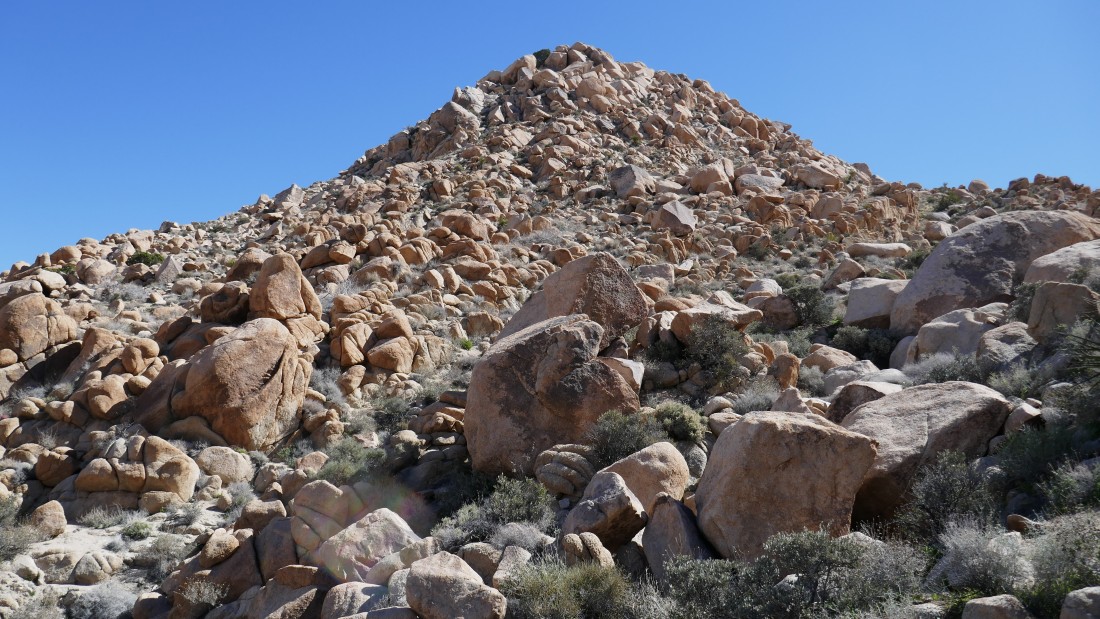
Getting closer, but the terrain stays the same.
|
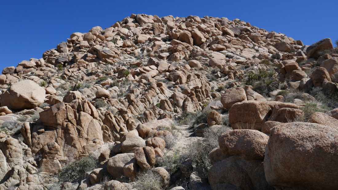
What I said about the last photo.
|

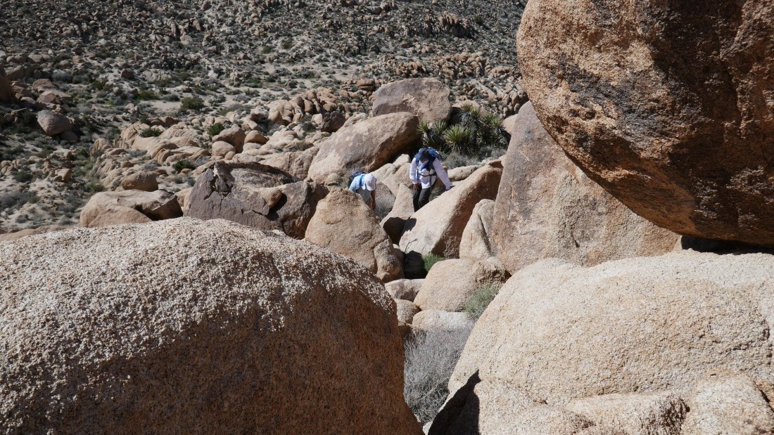
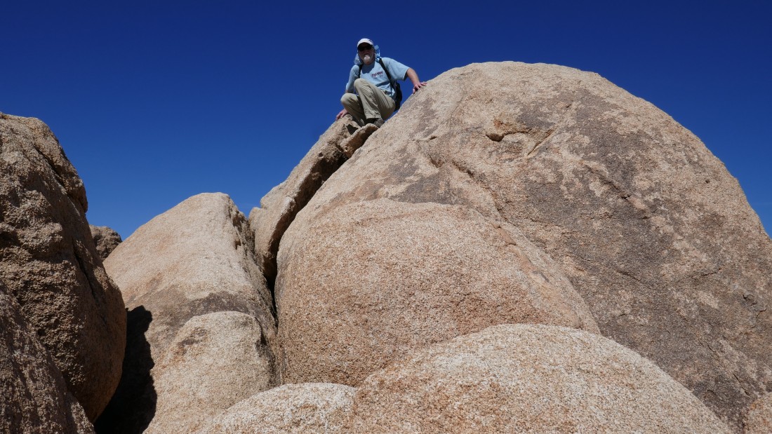
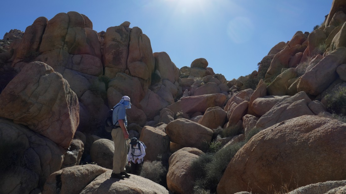
Denali Girl and rocman start the final push up to the summit.
|

It will be challenging.
|
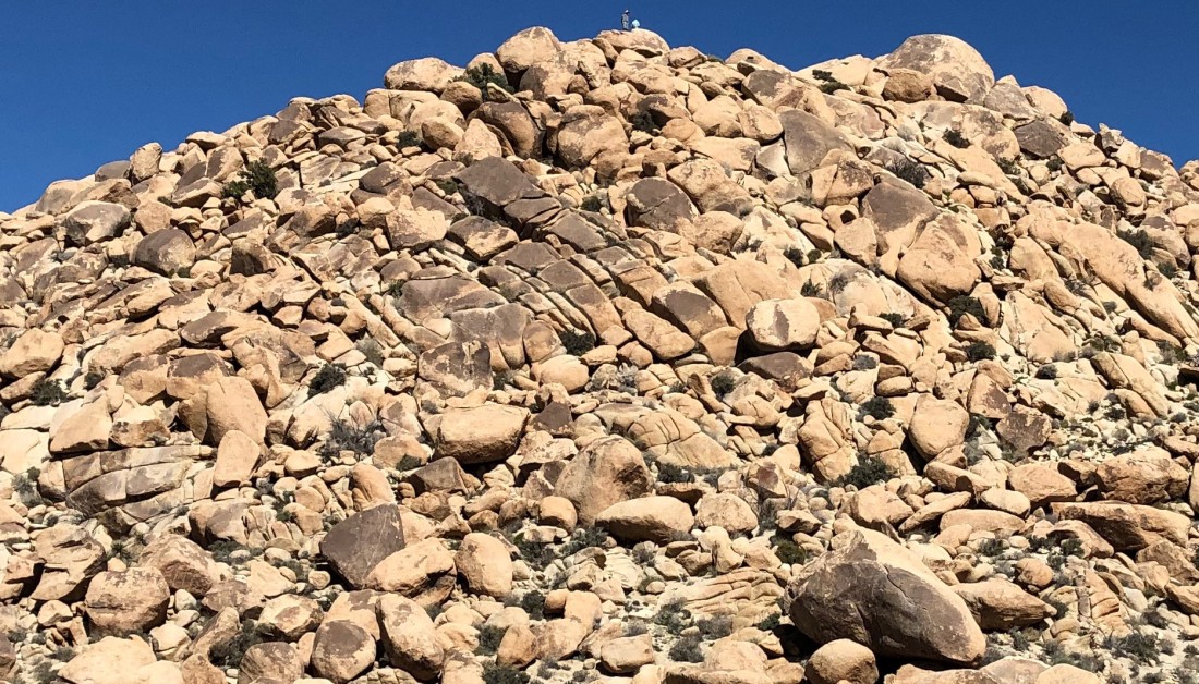
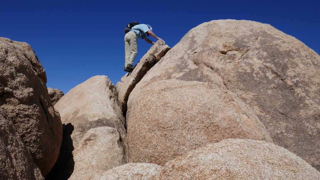
Large boulders to deal with on the last 200 feet of elevation gain to the summit.
|
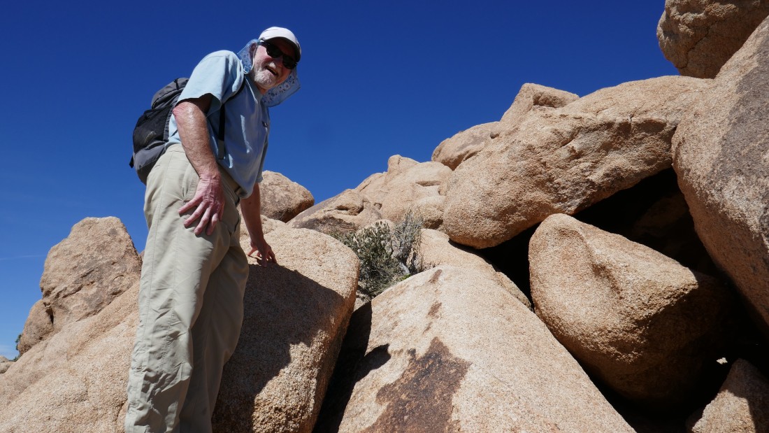
rocman looks for the best route.
|

Denali Girl decides to head back down... kind of hard to disagree with that decision.
|
Continuing on up for the summit.
|

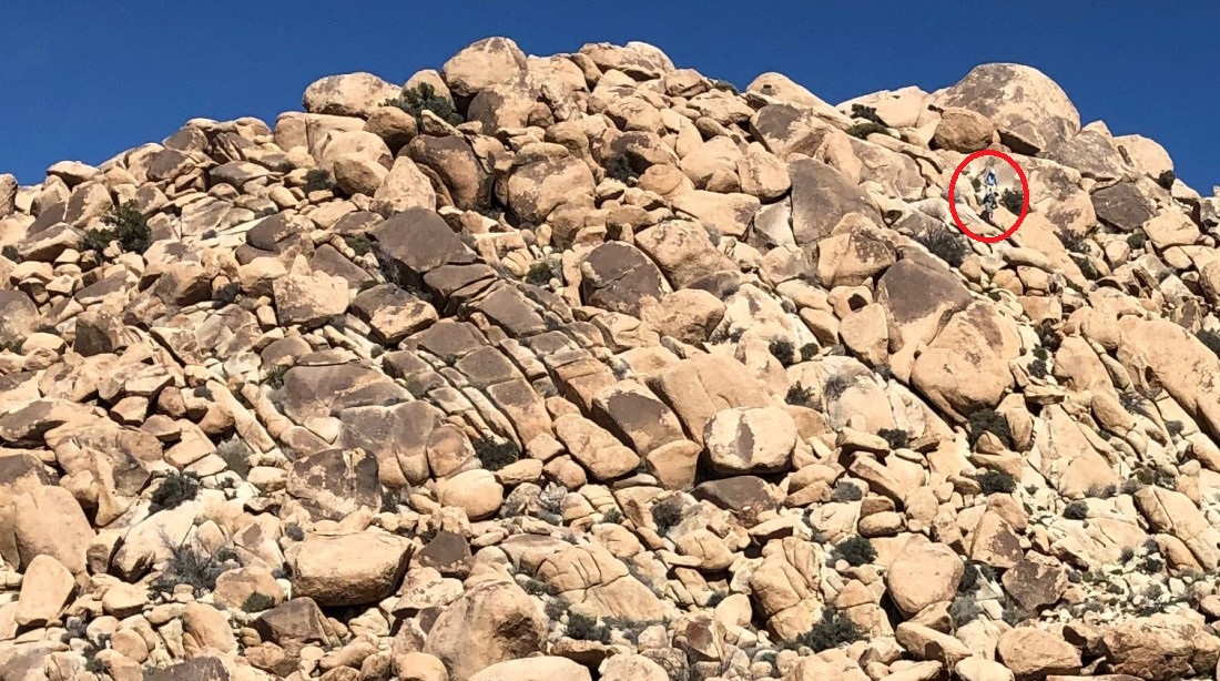
rocman tops out on Mount Mel (3814').
|
Denali Girl took this photo of rocman and me on the summit of Mount Mel.
|
rocman on the summit of Mount Mel... looking east toward the Indian Cove Campground.
|
|
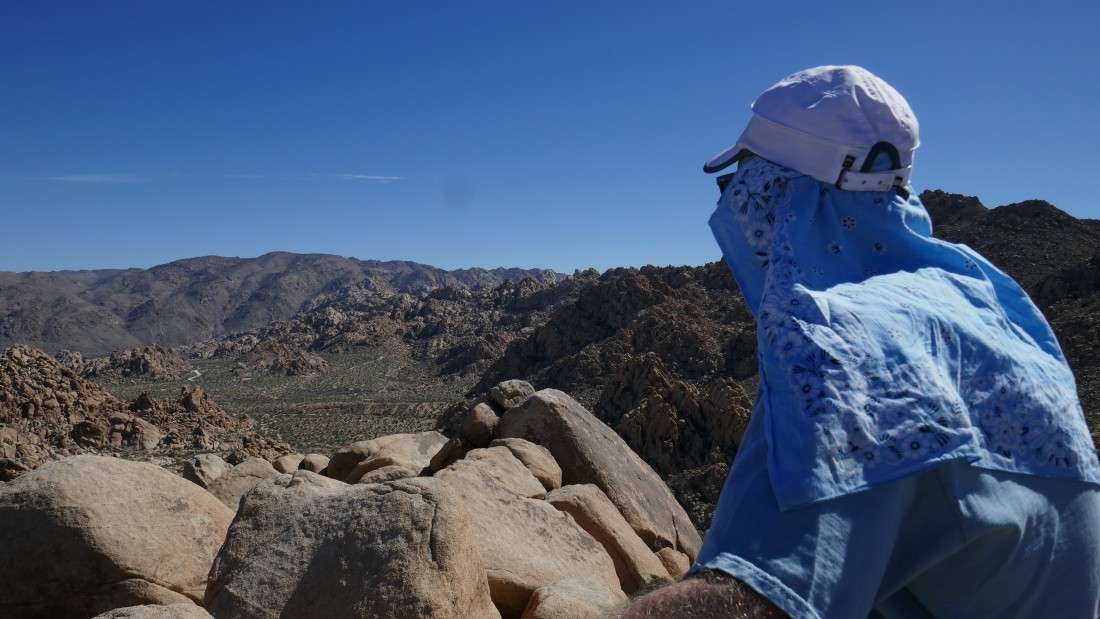
A pano shot from the summit of Mount Mel... looking north into Yucca Valley... Twentynine Palms Mountain on the far right horizon.
|
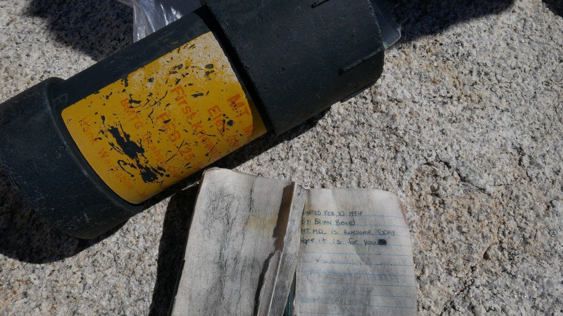
The summit register we found was placed in 1996.
|
Time to head back down to where Denali Girl is waiting for us.
|
A fairly easy Class 2 move at the summit.
|
We took a slightly easier route going down.
|
Denali Girl got this photo of us coming down.
|
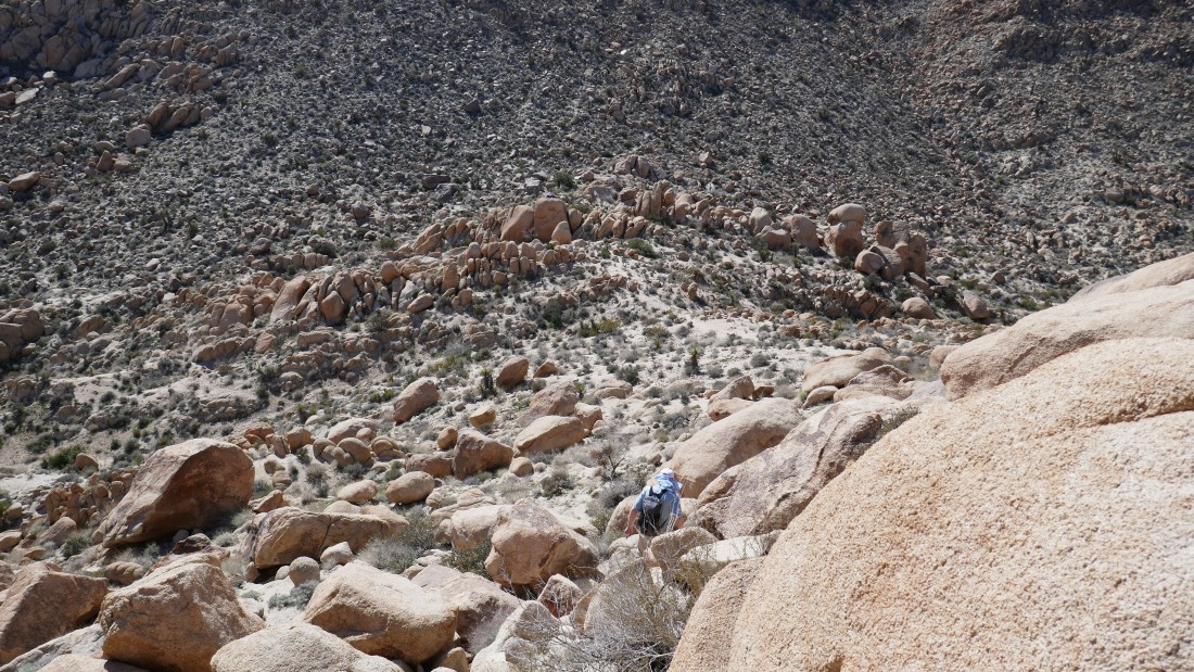
rocman is almost down to some flat ground.
|

Off of the boulders and time to exhale.
|
We had used the Boy Scout Trail to approach the west side of Mount Mel... now we will return via a route on the east side of the mountain... allowing for a circumnavigation of the mountain.
|
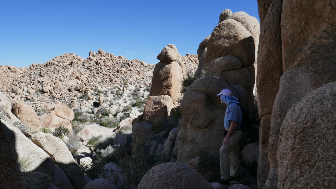
There is no trail on the east side of Mount Mel.
|
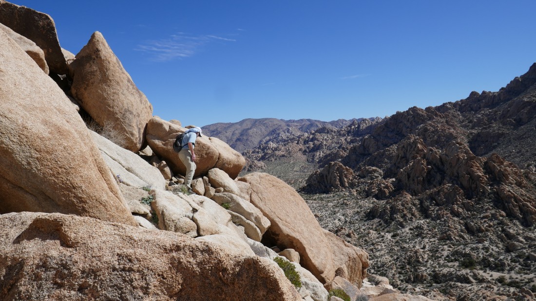
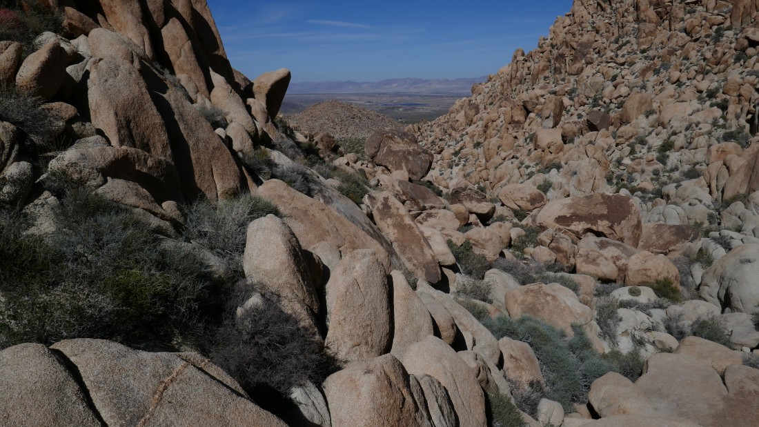
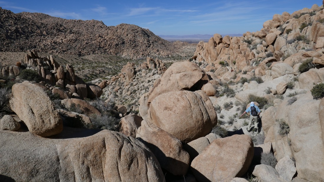
Looking up at Mount Mel on the right as we continue down the east side of the Mountain.
|
There is no way to escape from the boulders.
|
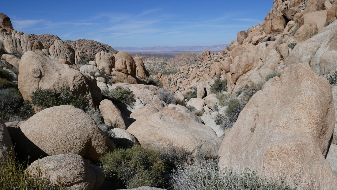
Finally we can see the valley below... but there is still plenty of work to do.
|
Working the boulders.
|
Slow progress in the boulders.
|
Will we ever get out these boulders?
|
Almost down to the desert floor.
|

Just a few more steps down to the wash.
|
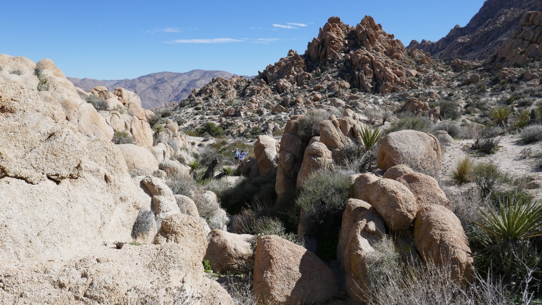
Looking back at Mount Mel on the right... we came down the canyon on the left.
|
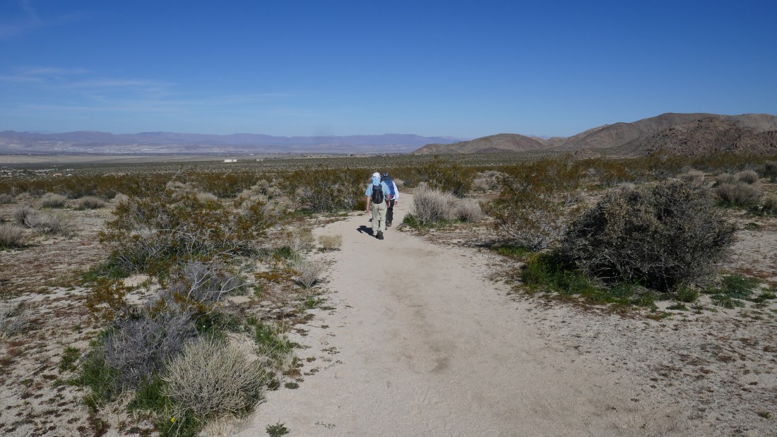
We have reconnected with the Boy Scout Trail... a mile of hiking will get us back to the car... our hike was a total of 4.7 miles, gaining 1000 feet of elevation.
|
