Queen Mountain and Queen Benchmark - 3.1.2019
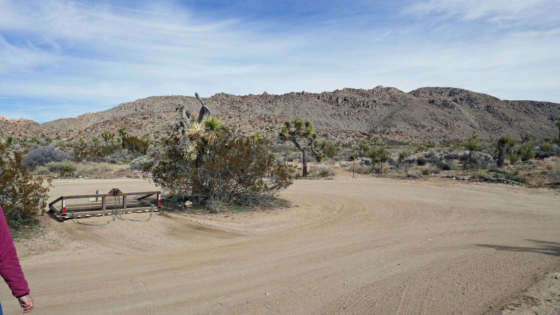
From the west entrance pay station at Joshua Tree National Park we drove 15.1 miles on Park Blvd and turned left onto Big Horn Pass Road... then stayed right after driving .4 miles and continued another 1.4 miles to the trailhead at the end of the road.
|
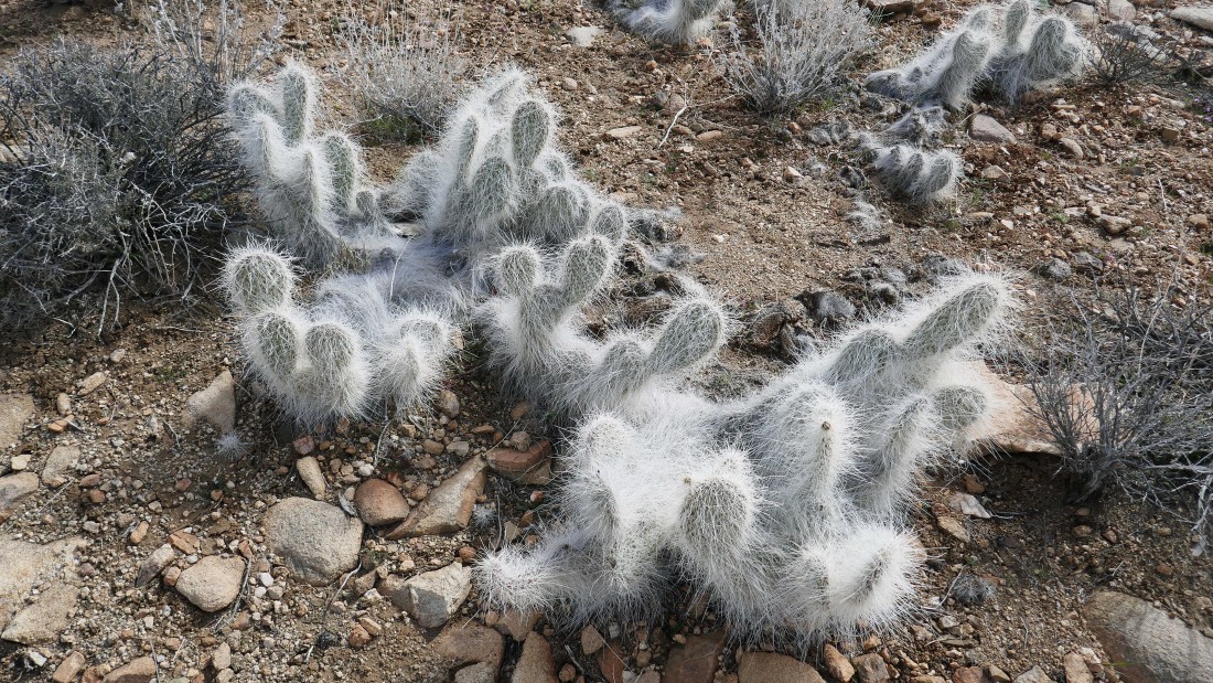
Cephalocereus Senilis (aka Old Man Cactus)... very appropriate!
|
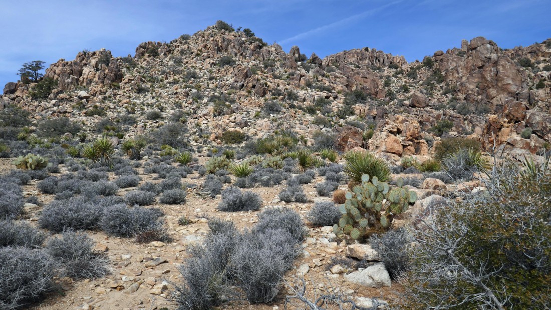
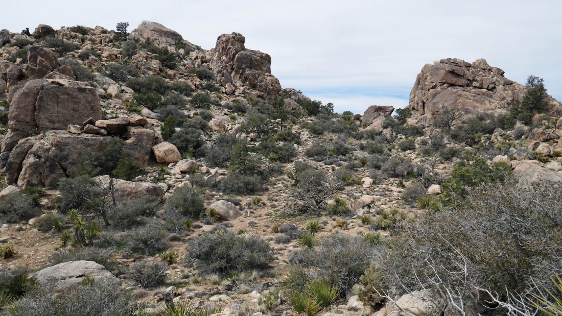
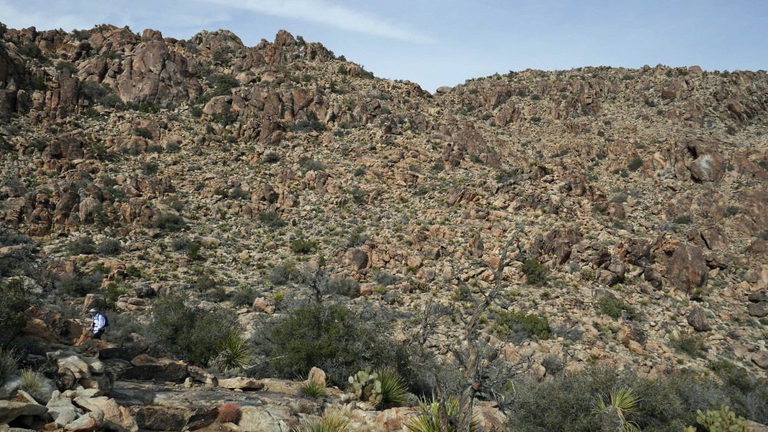
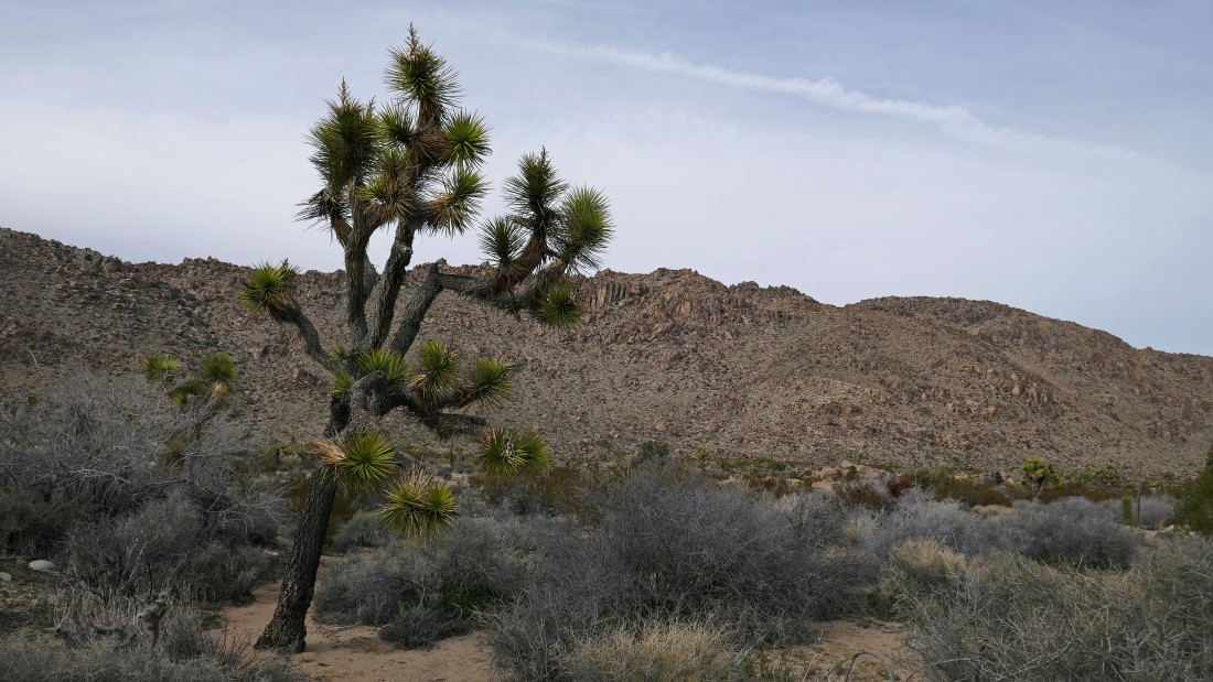
On our way to Queen Mountain... a huge mountain that stretches across the entire photo... with the summit area being at the 'V' on the far right.
|
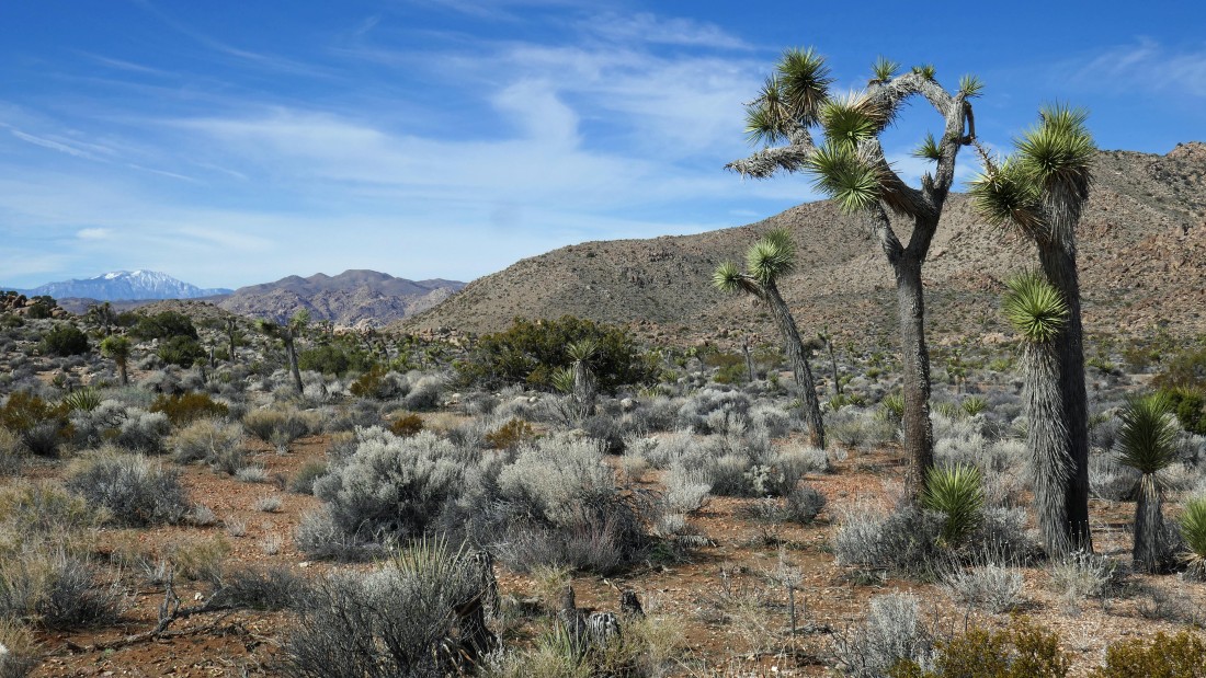
Looking SW to Quail Mountain and Mt. Minerva Hoyt in the left-center of the photo... and a snow capped San Jacinto Mountain on the far left horizon.
|
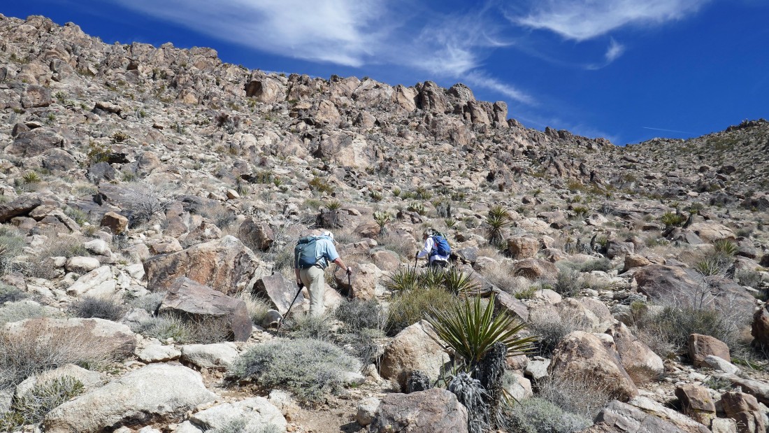
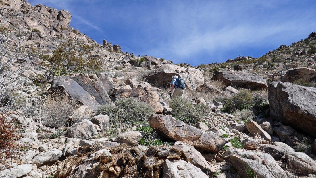
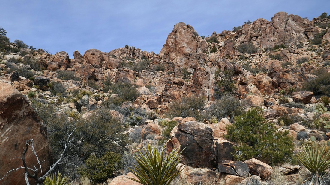
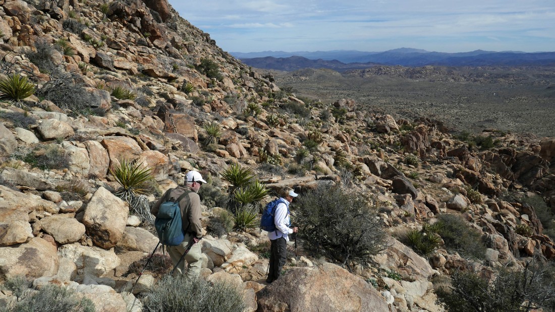
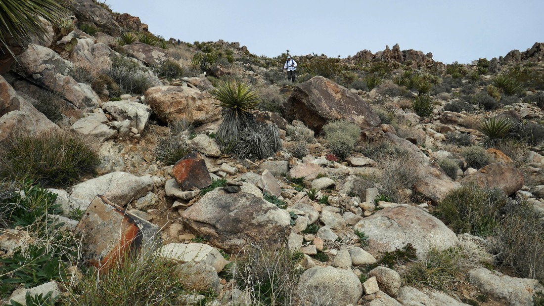
Off of the desert floor and gaining elevation up toward the top of Queen Mountain.
|
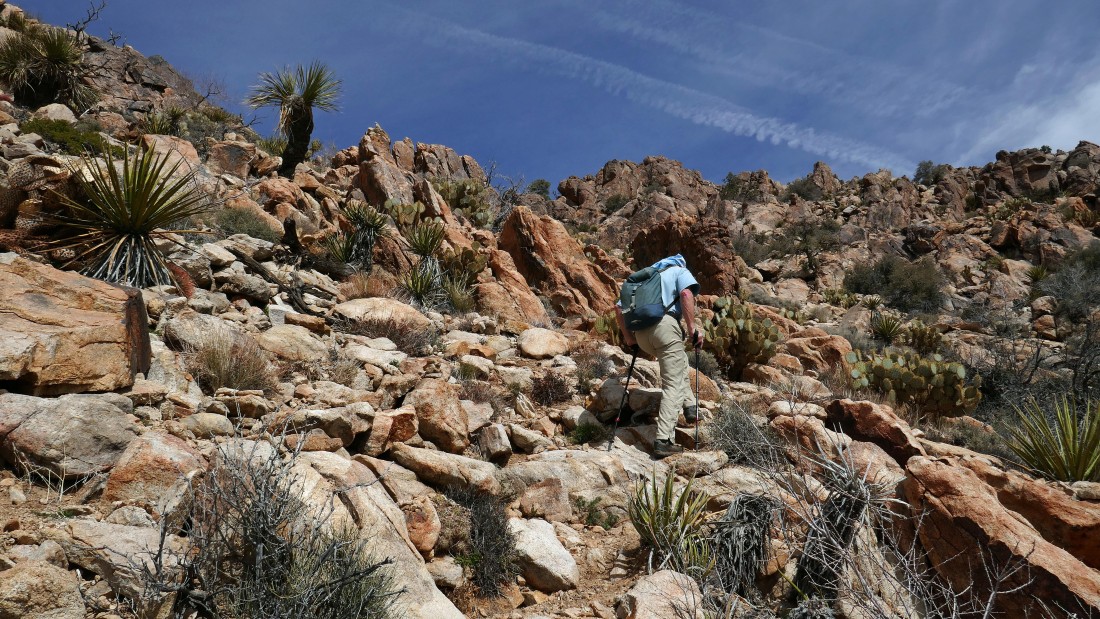
Gaining elevation on a good path.
|
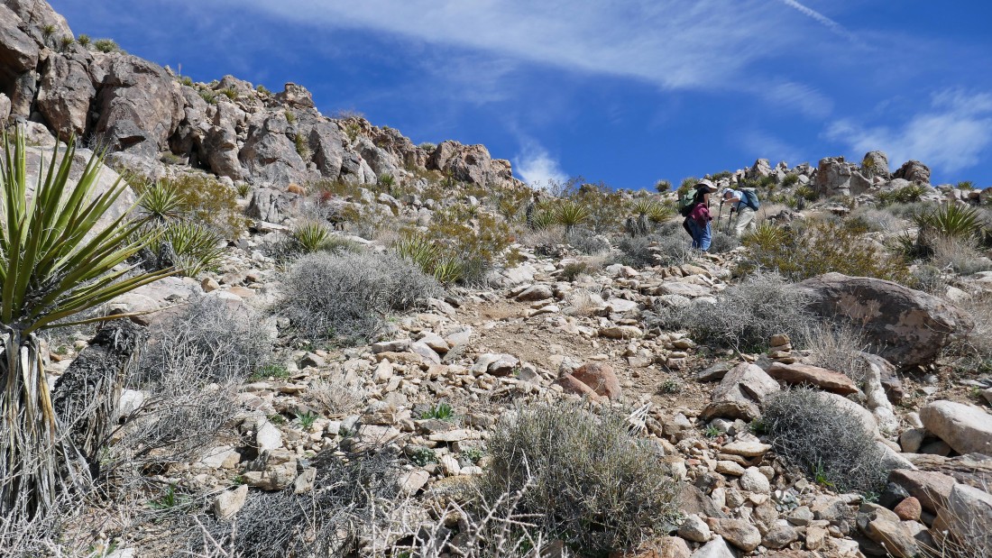
Gaining elevation on a good path.
|
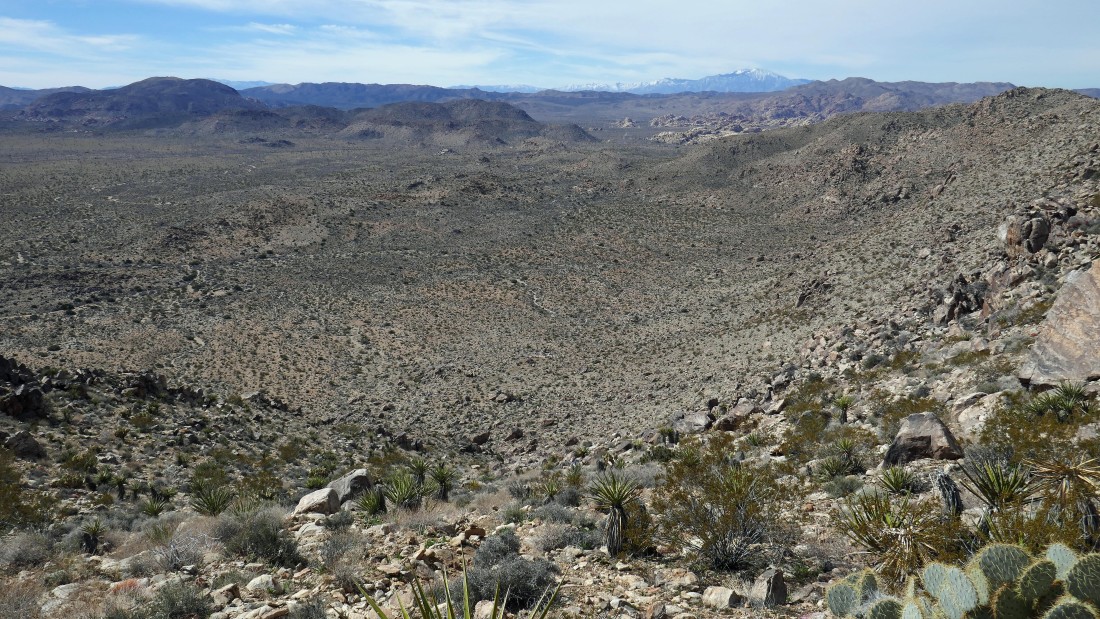
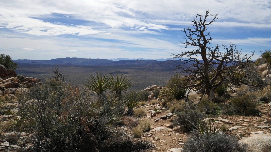
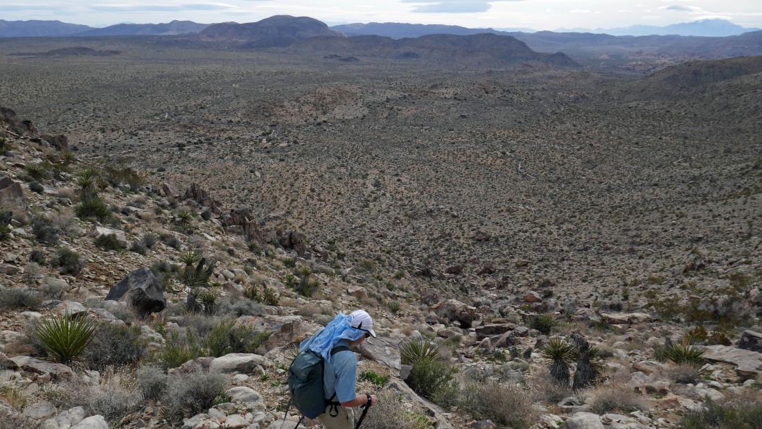
Gaining elevation and looking back across Queen Valley to Ryan Mountain on the far left... with Mt. Minerva Hoyt and Quail Mountain on the far right... and a snow capped San Jacinto Mountain on the right center horizon.
|
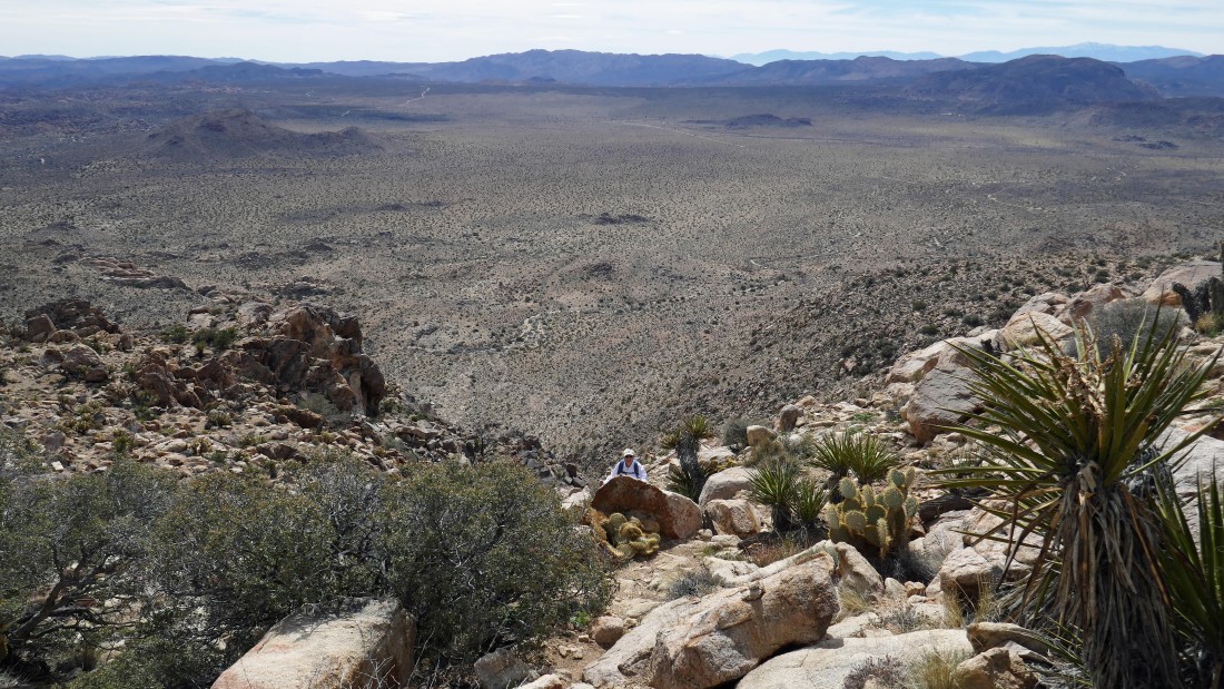
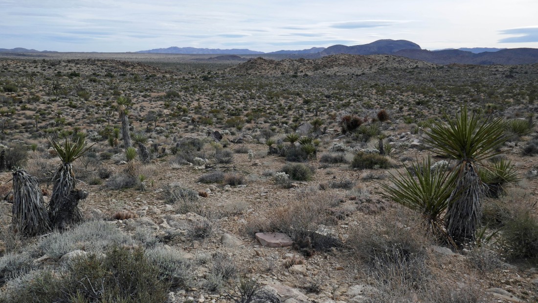
We have reached a little bench along our route... here looking south across Queen Valley.
|
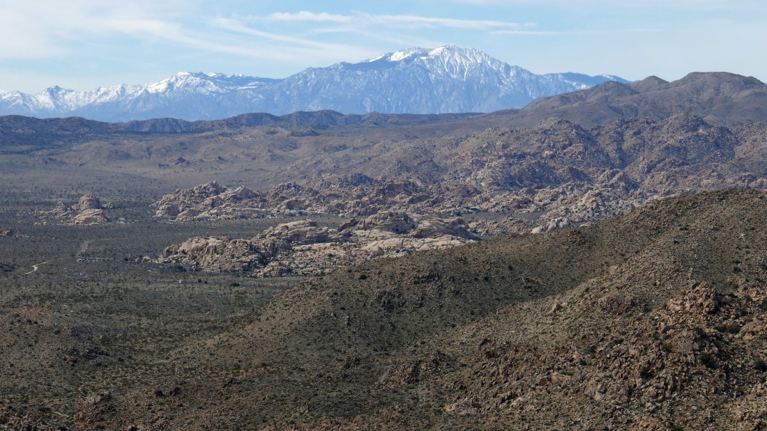
A closeup of the Santa Rosa Mountains and San Jacinto Mountain on the horizon... with Minerva Hoyt and Quail in the far right foreground... the Barker Dam parking area is in the photo at the southern end of the Wonderland of Rocks.
|
Not exactly sure where the summit is from here... so we will just continue along the trail and see where it will take us.
|
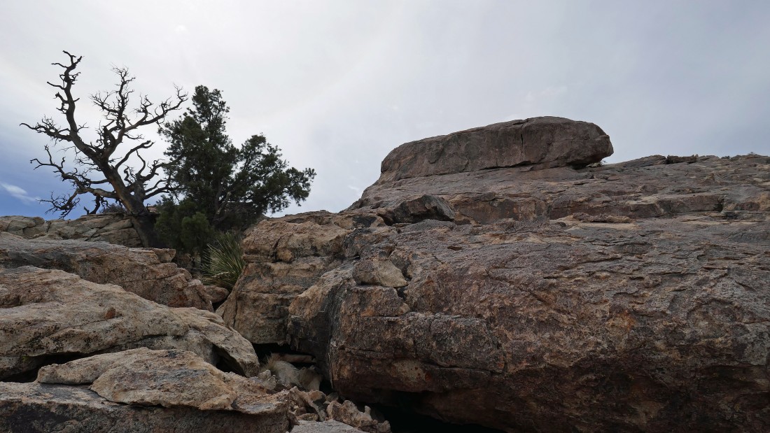
Rugged terrain.
|
rocman keeping us on track.
|
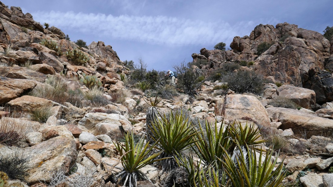
Still gaining elevation.
|
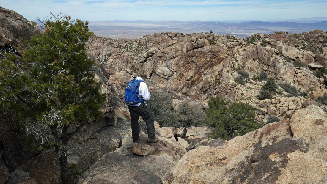
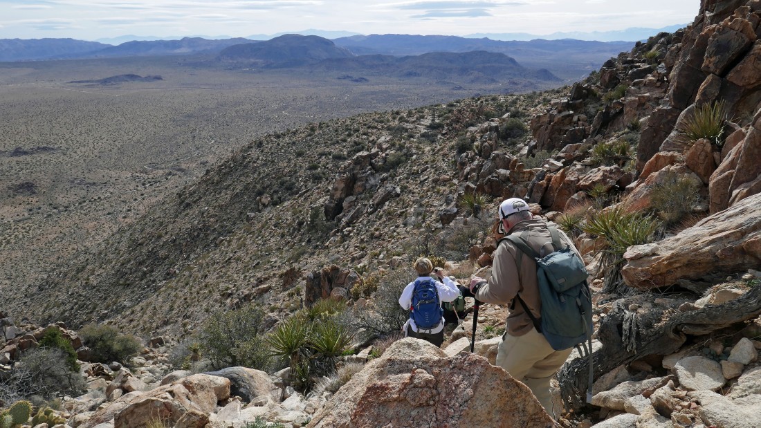
Denali Girl is coming up... Queen Valley is below... with Ryan Mountain on the far right.
|
We have reached flat ground... kind of a pass between the Queen Benchmark and the true summit of Queen Mountain... Queen Valley is in the distance.
|
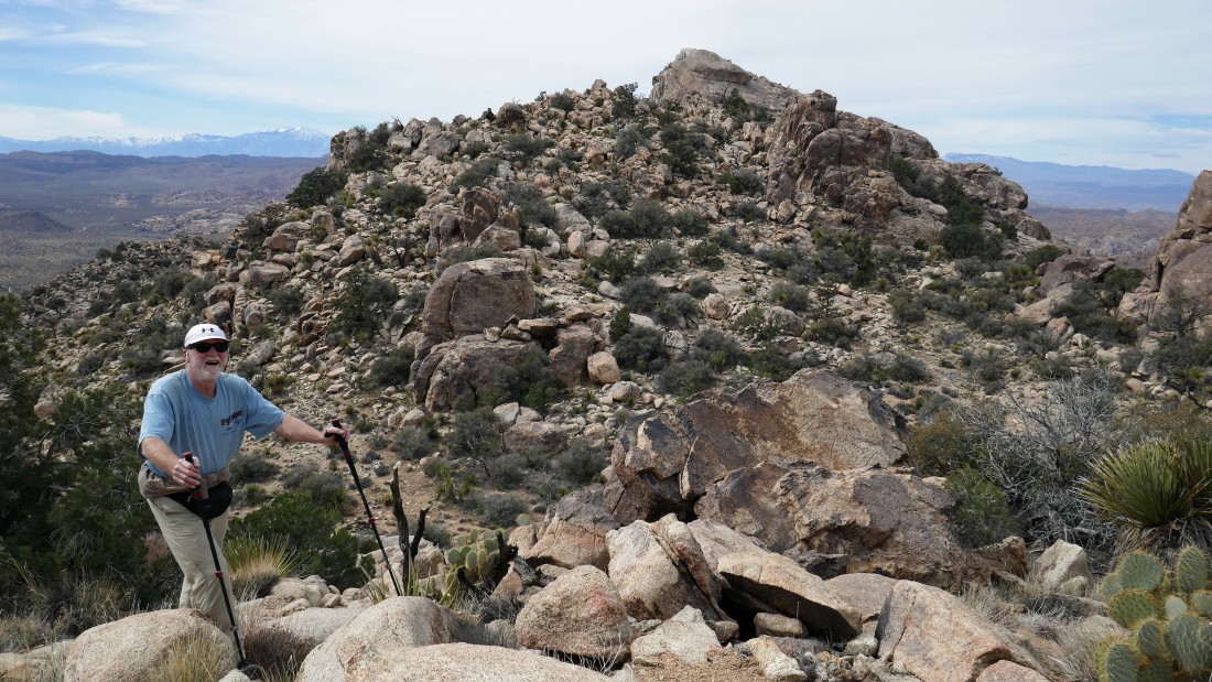
rocman and I decided to go up to Queen Benchmark from the pass... here I am looking across the pass to the true summit of Queen Mountain.
|
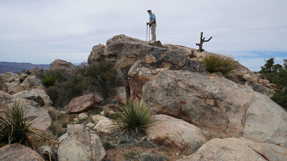
rocman is standing on Queen Benchmark (5677').
|
A pano shot from Queen Benchmark... the true summit of Queen Mountain is in the left foreground... Yucca Valley is in the distance on the right... San Jacinto Mountain and San Gorgonio are on the left horizon.
|
Looking down on Queen Valley from Queen Benchmark... with the true summit of Queen Mountain in the far right foreground.
|
Coming back down to the pass between the benchmark and the true summit up there on the left... time to head for the summit.
|
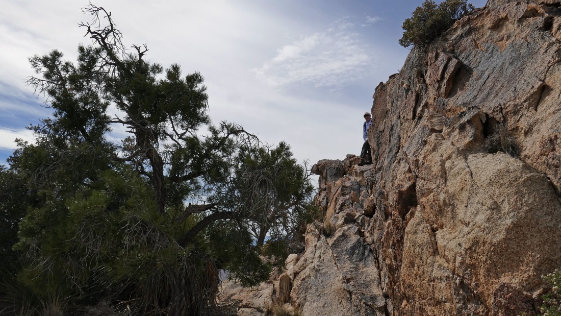
Looking up at the summit of Queen Mountain.
|
Denali Girl is taking a break before going for the summit.
|
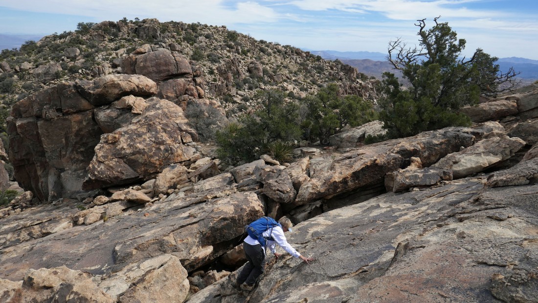
Denali Girl ascending nicely graded slabs on Queen Mountain... with Queen Benchmark over there on the horizon.
|
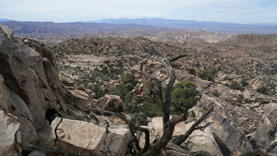
Looking west from near the Queen Mountain summit... one of these days I would like to explore that huge dance floor out there in the left center of the photo... San Gorgonio Mountain is on the horizon in the center of the photo.
|
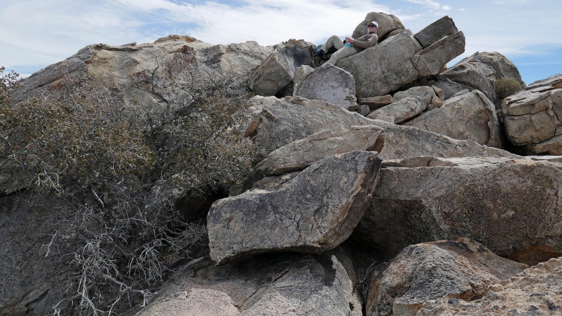
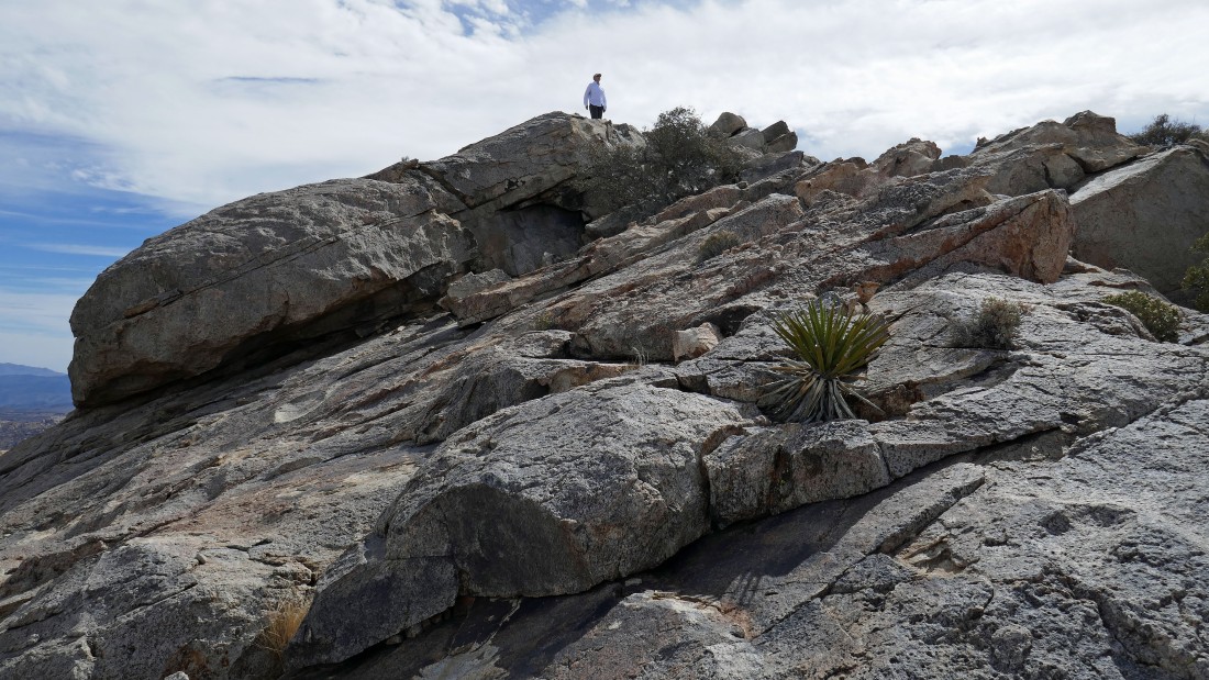
rocman relaxing on the summit (5680+).
|
All of these rocks in the foreground are part of the very huge Queen Mountain... Yucca Valley is beyond.
|
Looking across Queen Valley from the summit of Queen Mountain.
|
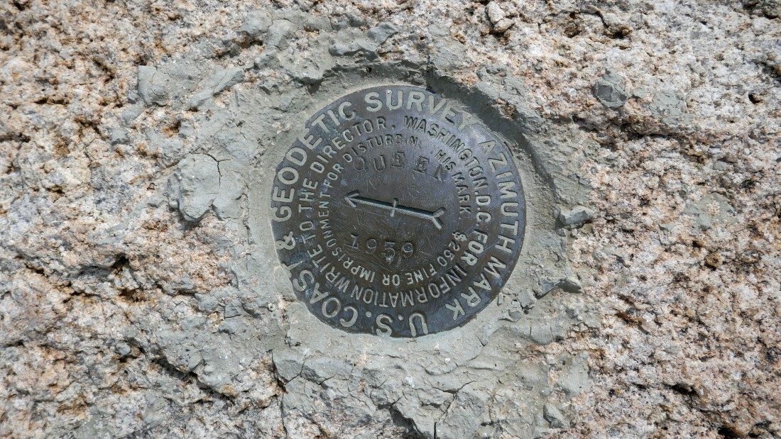
The 'U.S. Coast & Geodetic Survey Azimuth Mark' that was placed in 1939 on Queen Mountain... note that it is a $250 fine or imprisonment for messing with it.
|
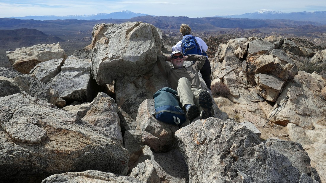
rocman and Denali Girl on the summit of Queen Mountain... with San Jacinto Mountain and San Gorgonio Mountain on the horizon.
|
Denali Girl is getting ready to come down from the Queen Mountain summit... love these slabs!
|
Descending from the summit.
|
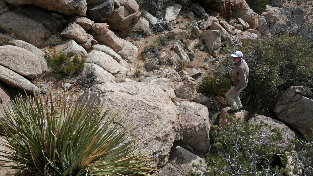
Denali Girl does a little exploring near the summit.
|
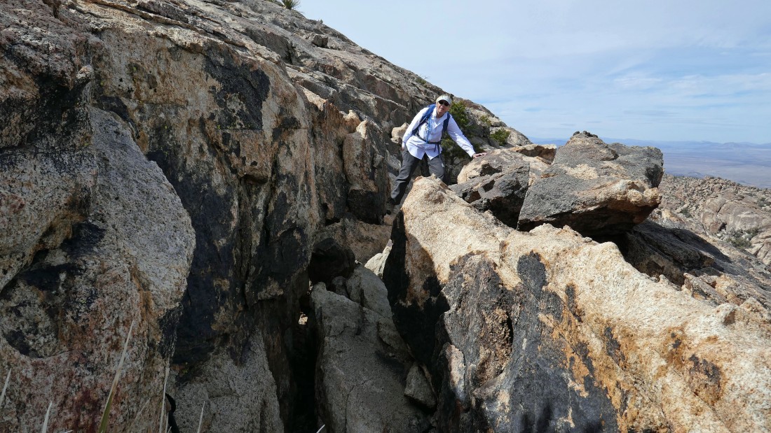
rocman is coming up to a cave that we noticed from the summit of Queen Mountain.
|
A pano shot from the cave... the true summit of Queen Mountain is in the right foreground... with Queen Valley, Ryan Mountain and the Hexie Mountains through the gap.
|
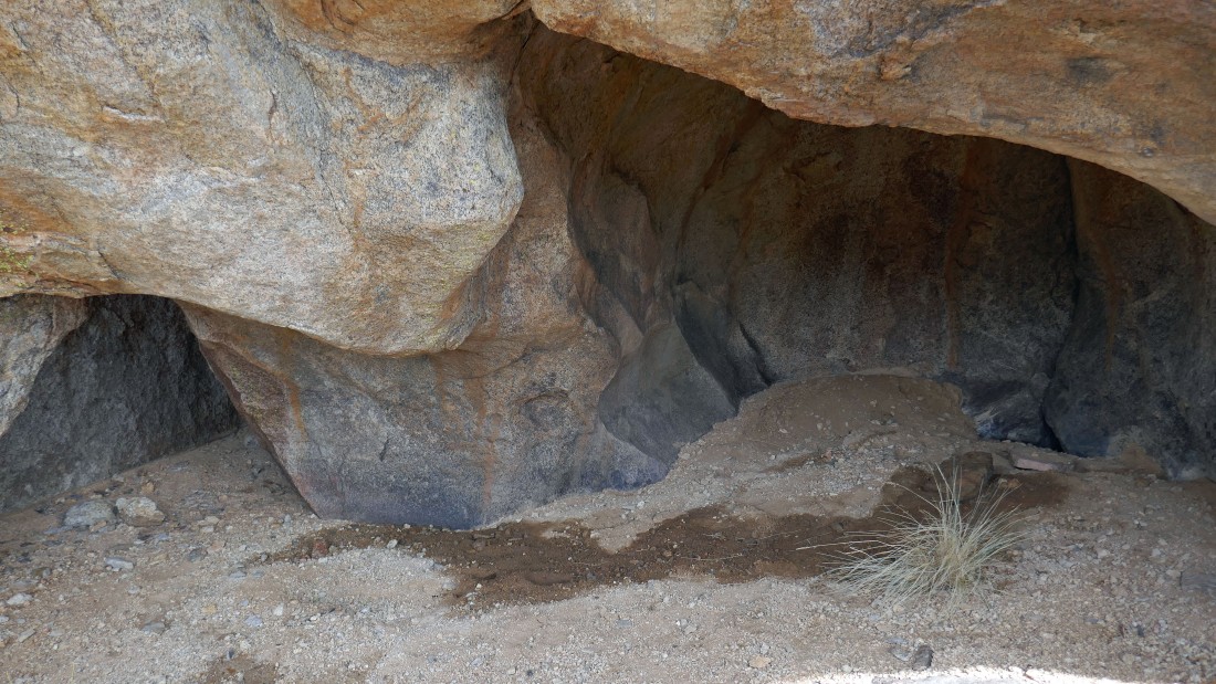
The two room cave... the entrance on the left leads to the kid's room... the cave is 7 feet deep... with plenty of room to stand up in the adult's room.
|
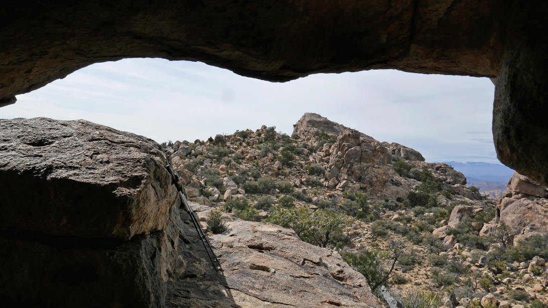
From inside the cave I am looking over at the true summit of Queen Mountain.
|
Time to head back down to the car.
|
On the way down... following the same path that we used on our ascent.
|
Coming down... looking back up at the summit in the left center of the photo.
|
Coming down.
|
rocman is almost down to the desert floor.
|
On the desert floor... we decided to leave the main path and take a short cut back to the car.
|
Almost to the car... looking back at the summit area of Queen Mountain.
|
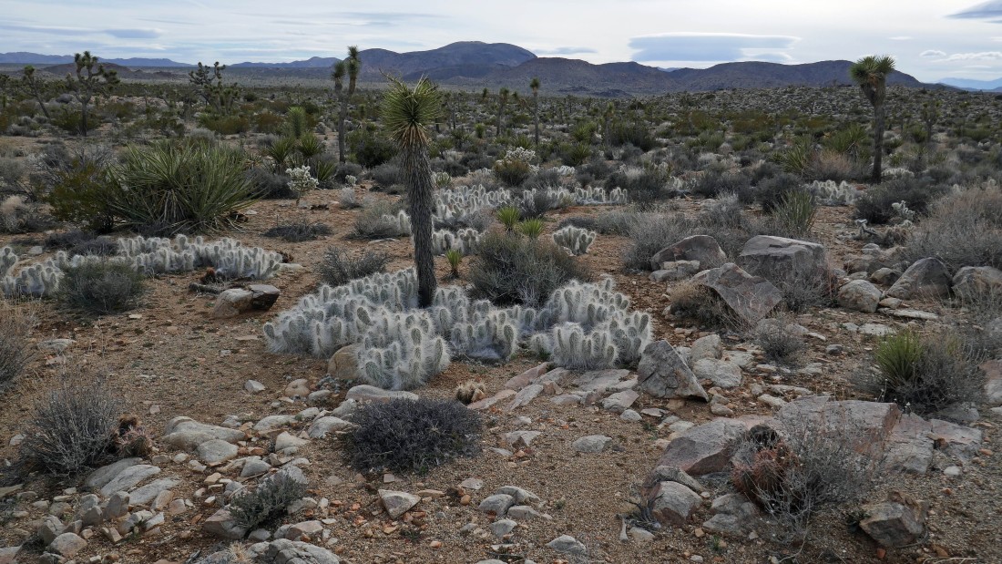
Almost back to the car... walking past some 'Old Man Cactus'... our trip was a total of 4.1 miles, gaining 1600 feet of elevation.
|
