Misery Ridge - 5.13.2019
|
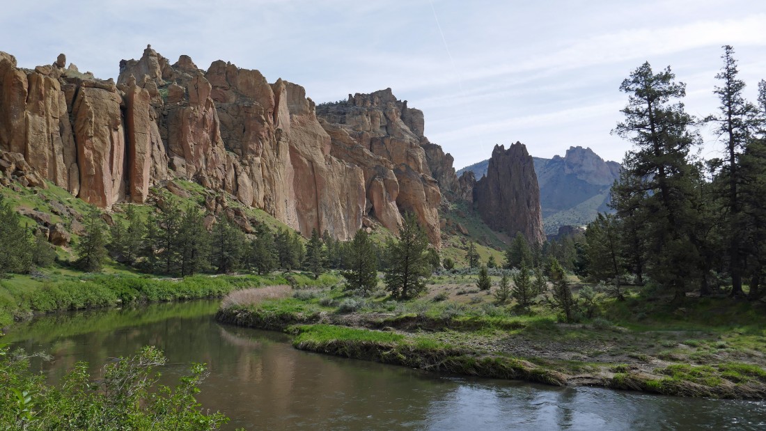
Smith Rock State Park... located in Terrebonne, Oregon... generally considered the birthplace of modern American sport climbing... offering more than 1800 climbing routes. The Smith Rock Group is on the left... with Misery Ridge on top of the Picnic Lunch Wall on the right... the dark brown formation in the center of the photo is called Shiprock.
|
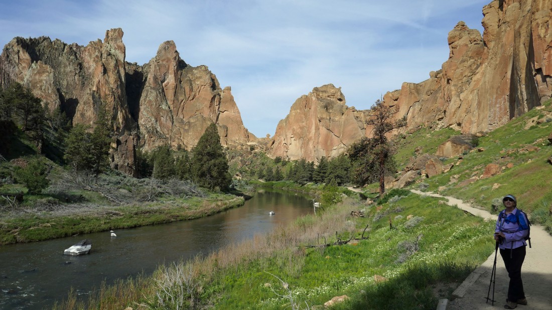
After giving up 150 feet of elevation from the parking lot we crossed the Crooked River and headed south on the River Trail... in the direction of Asterisk Pass in the center of the photo... the pass separates the Smith Rock Group on the left and the Christian Brothers rock formation to the right of the pass.
|
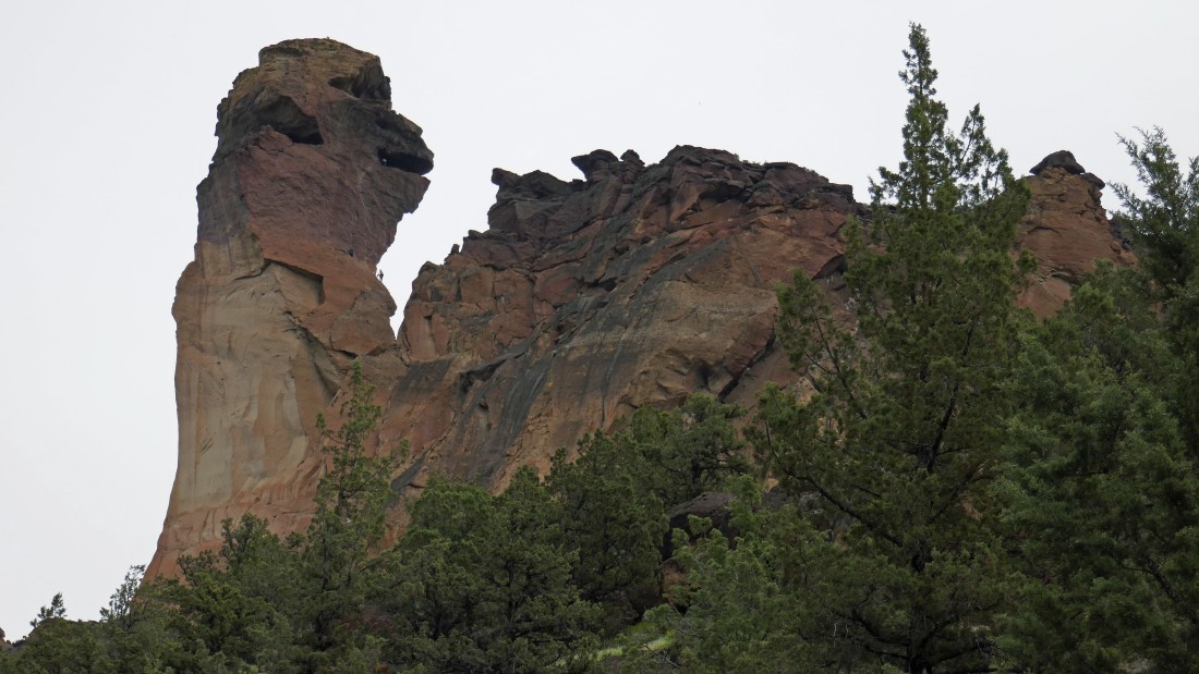
We have passed Shiprock on the right and looking up into an area referred to as 'Ships and Gullies'.
|
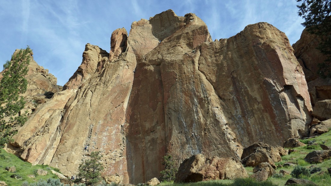
Looking up at two climbers high on the Morning Glory Wall as we continue hiking south on the River Trail.
|
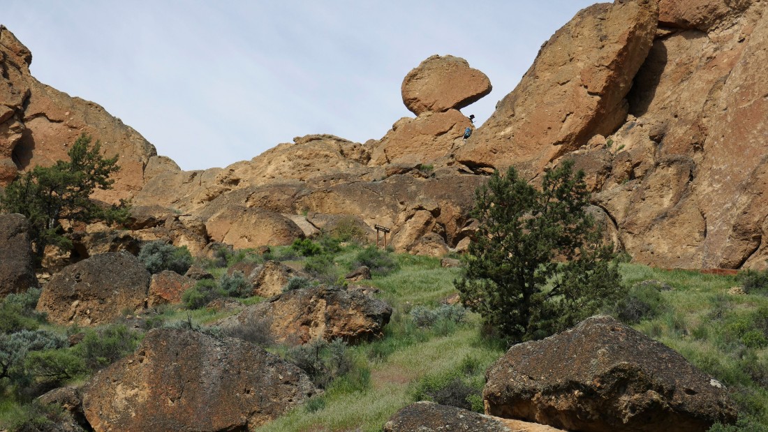
Passing by Asterisk Pass as we watch two climbers (underneath the asterisk) cross over the pass. The Class 3 pass is used as a shortcut for climbers to get over to the west side of the park.
|
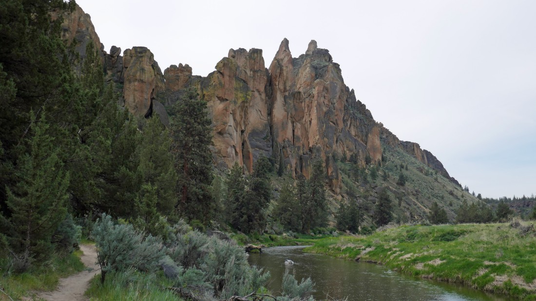
Continuing south on the River Trail... looking back at 'The Dihedrals' on the far left... with the 'Morning Glory Wall' in the center of the photo... and the chossy looking Shiprock on the right... and part of 'The Marsupials' on the right skyline.
|
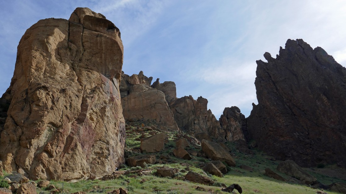
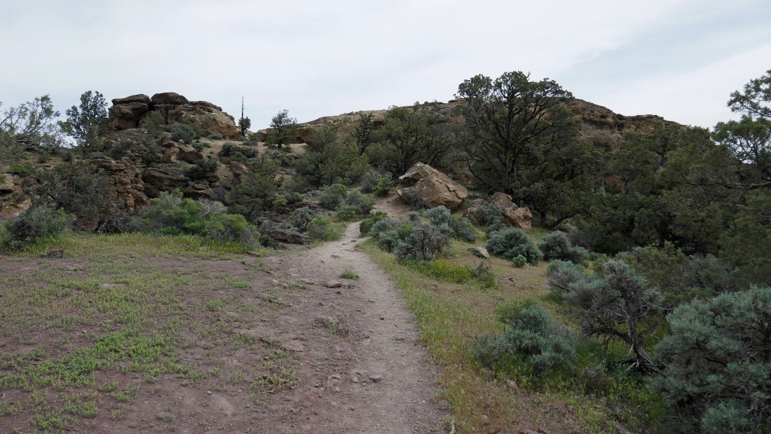
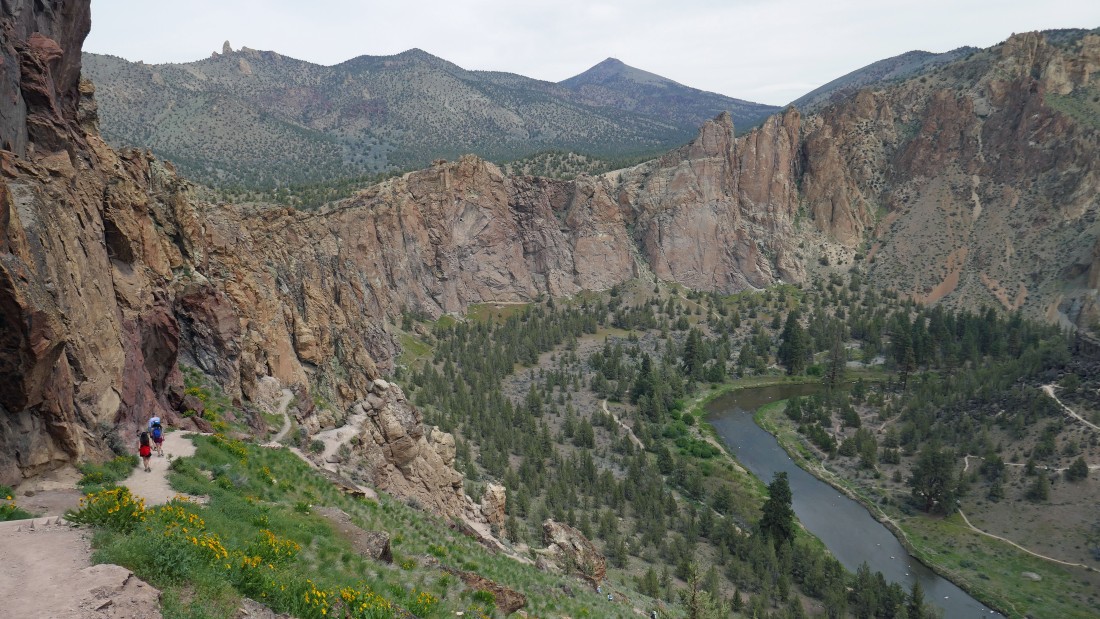
Still on the River Trail... as we round the south end of the Smith Rock Group. There isn't much climbing in this area due to the chossy rock being unreliable.
|
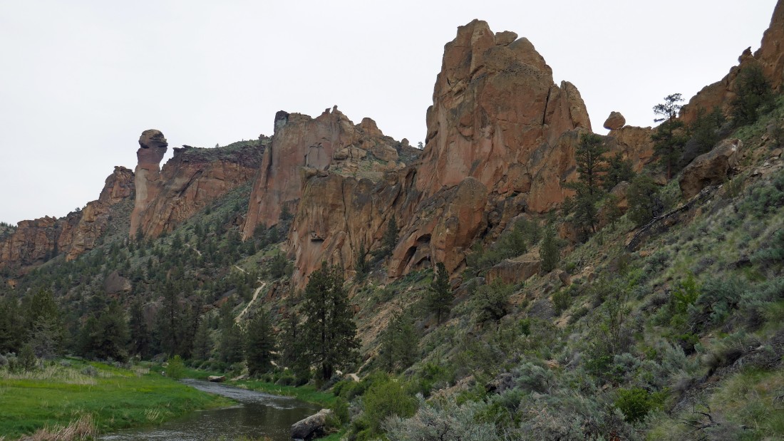
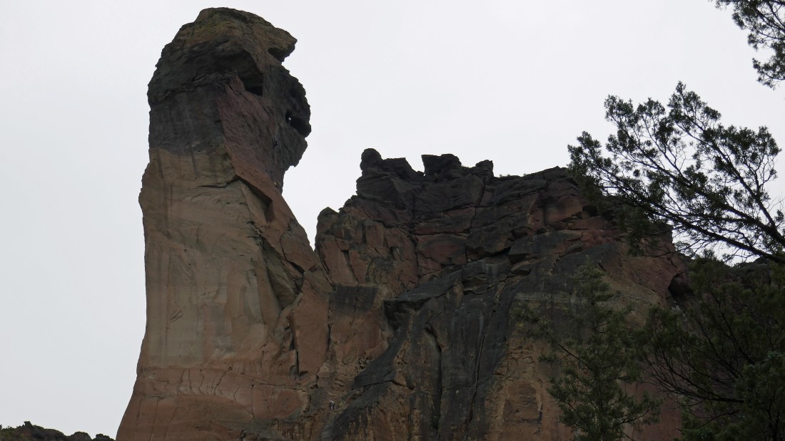
Still on the River Trail... but we have gone around the south end of the park and are now on the west side of the park... the west side of Asterisk Pass is above on the far right... with Mesa Verde Wall in the center of the photo... and Monkey Face standing out on the left.
|
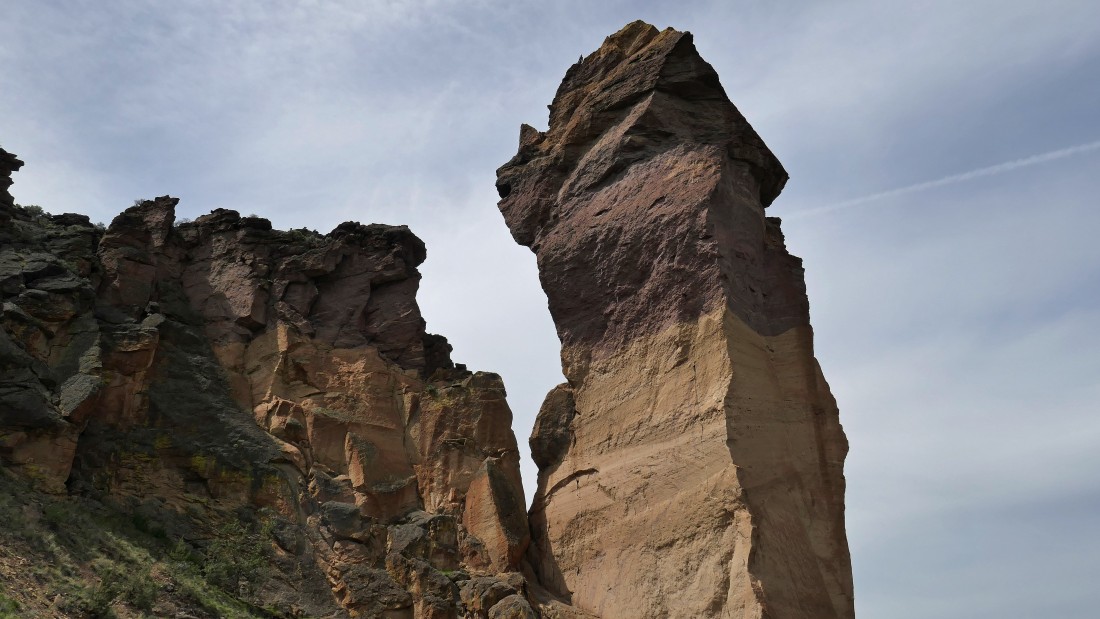
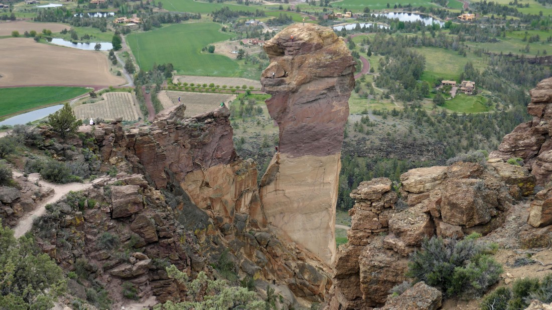
Continuing on the River Trail... looking up at the climbers on Monkey Face.
|
Looking back as we continue along the River Trail.
|
Climbers on Monkey Face.
|
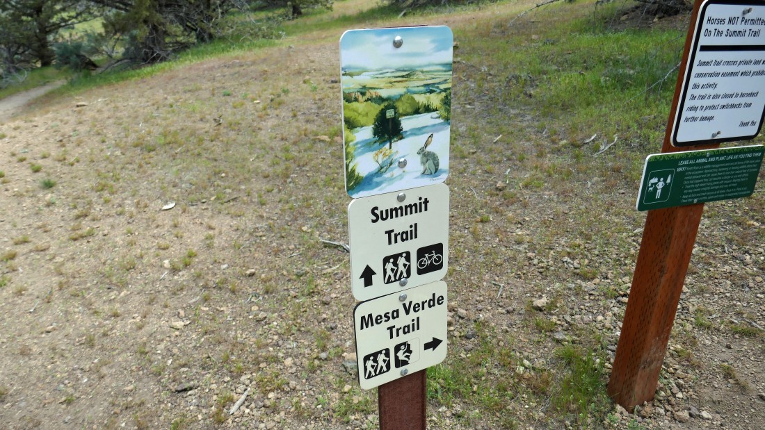
The River Trail ends at this junction... we could take the Summit Trail and continue around the north end of the park... but we will take the Mesa Verde Trail and gain elevation back toward Monkey Face and Misery Ridge.
|
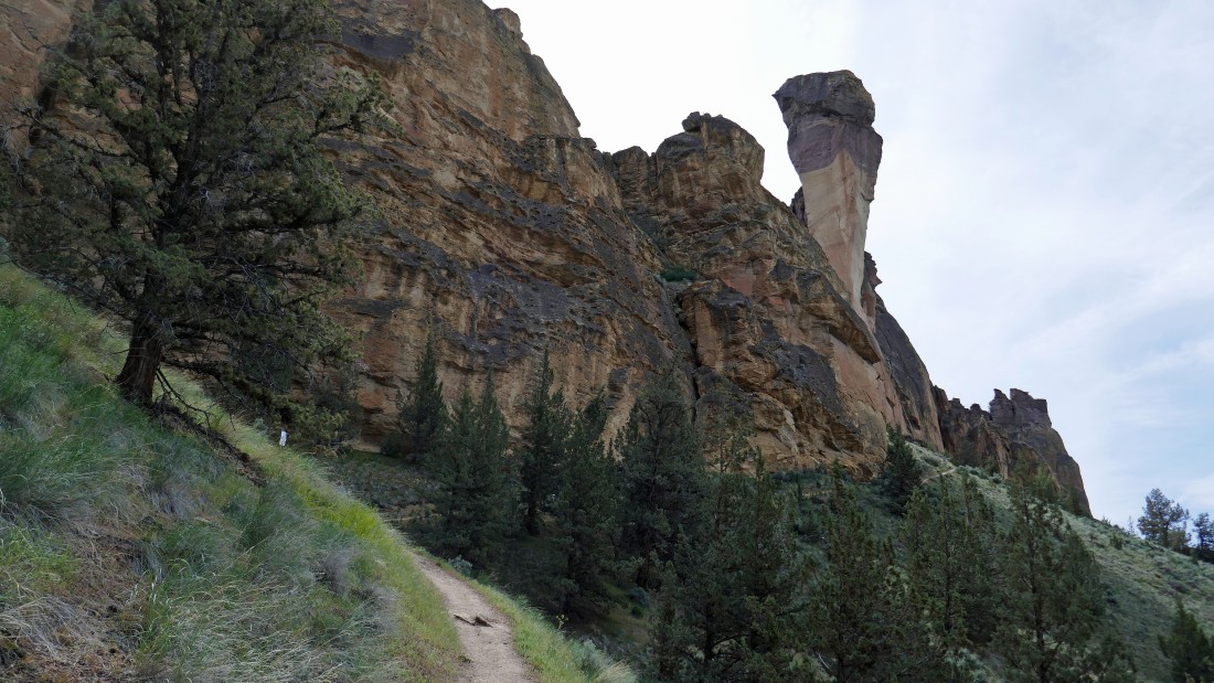
Gaining elevation on the Mesa Verde Trail as we head toward Monkey Face.
|
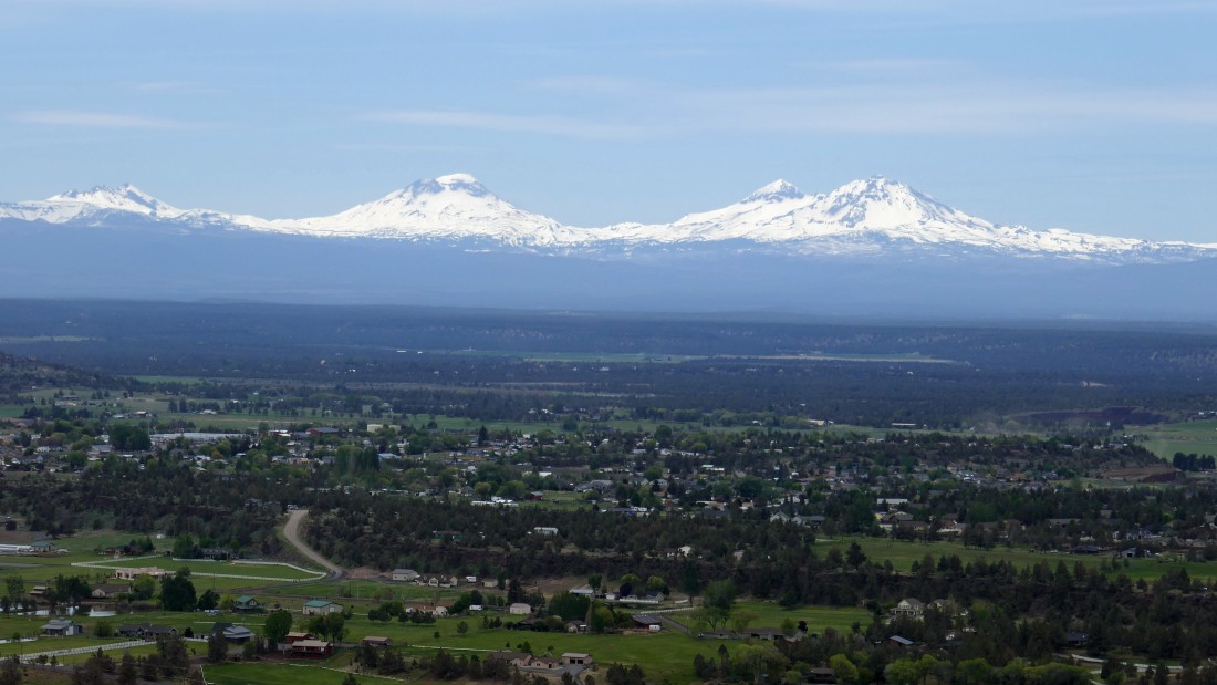
On the Misery Ridge Trail now... with every step higher giving a broader view of the Cascades... Bachelor, Broken Top and Three Sisters on the left... with Mt. Washington, Black Butte and Three Fingered Jack in the center... and Mt. Jefferson on the right.
|
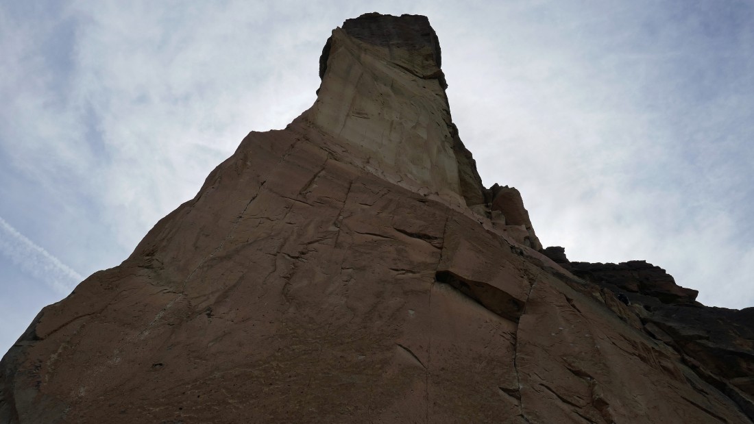
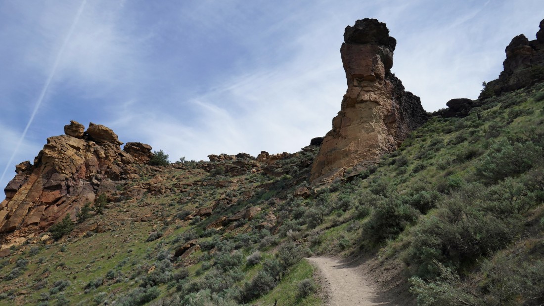
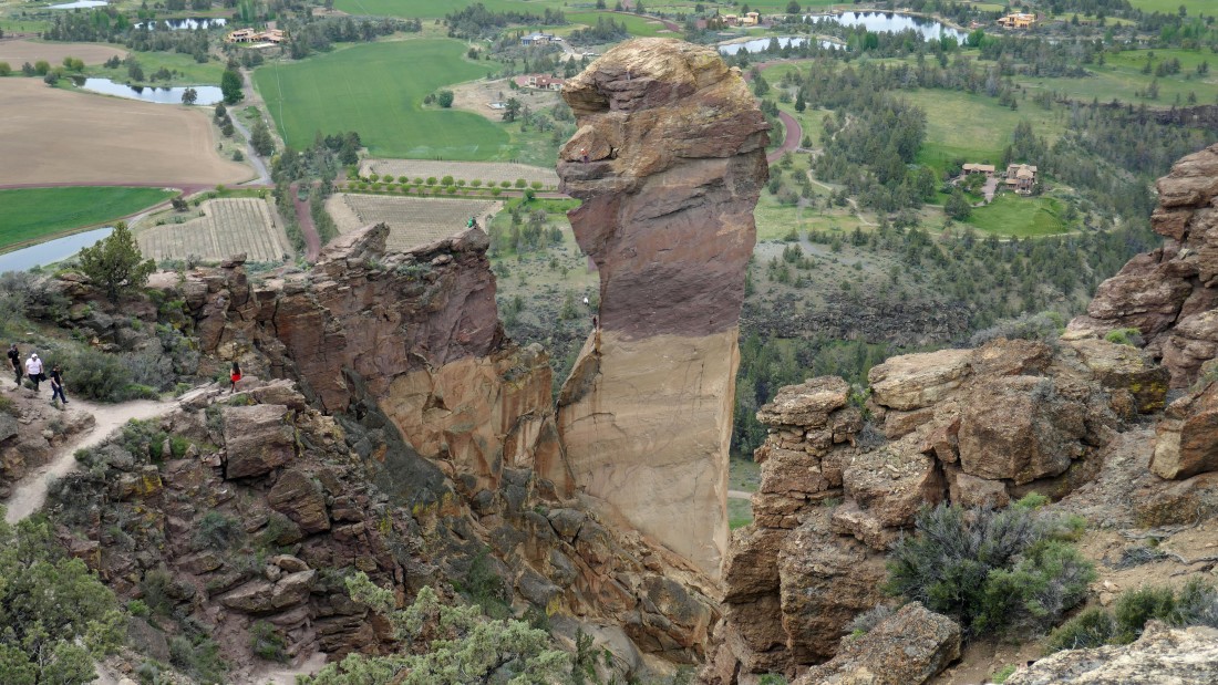
On the Misery Ridge Trail... looking up at Monkey Face.
|
Switchbacking my way up to Misery Ridge... looking over at Monkey Face.
|
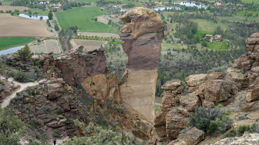
Switchbacking up to Misery Ridge... looks like a minature Monkey Face up there.
|
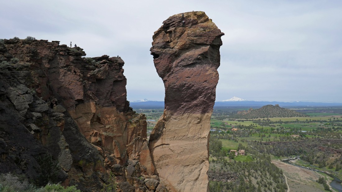
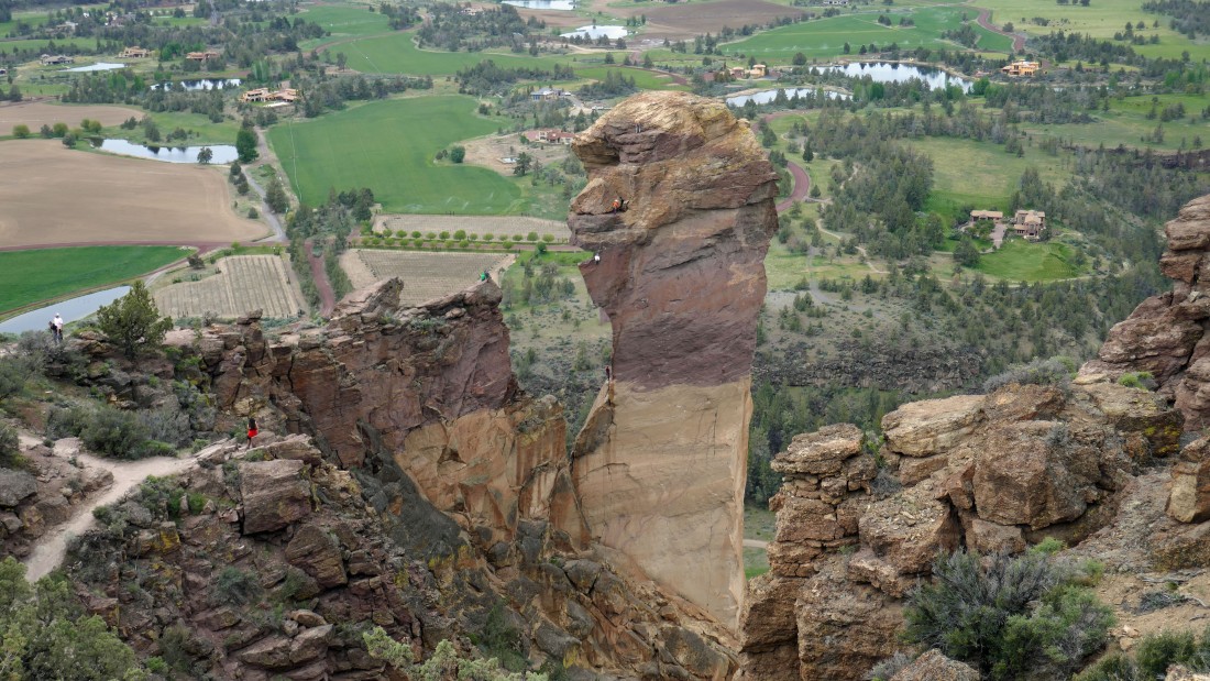
Two climbers near the top of Monkey Face... with the gallery watching from Misery Ridge... Three Fingered Jack is through the gap on the horizon... with Mt. Jefferson just to the right of Monkey Face.
|
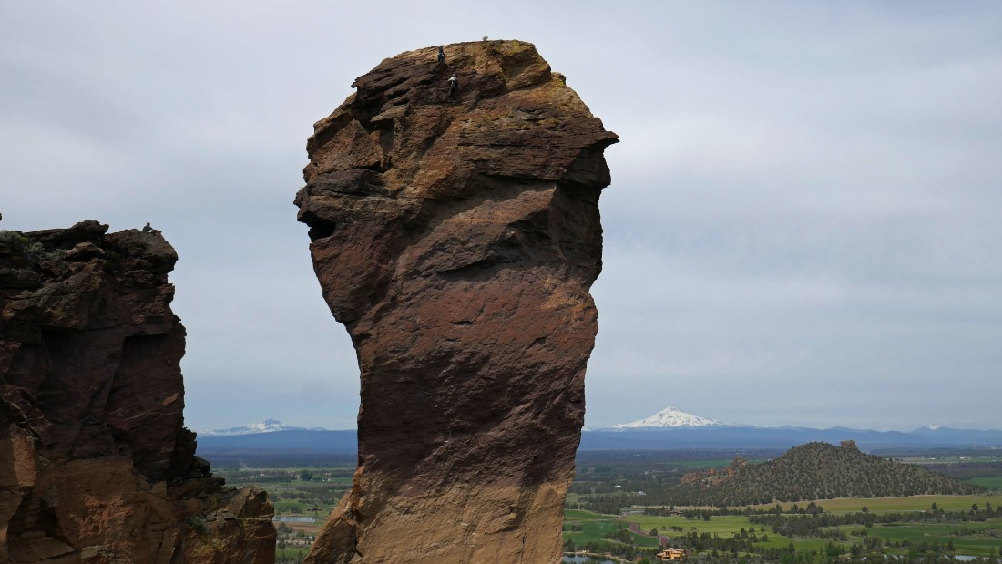
A closer look at those climbers near the top of Monkey Face.
|
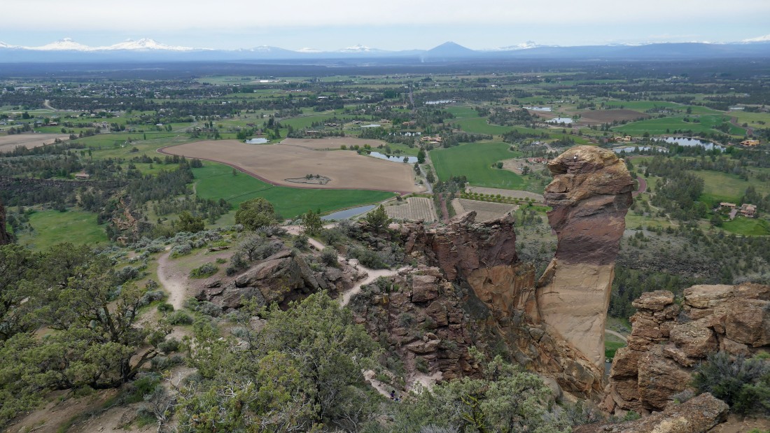
We are near the top of Misery Ridge... Monkey Face in the right foreground... with Misery Ridge running out toward the Smith Rock Group in the left foreground.
|
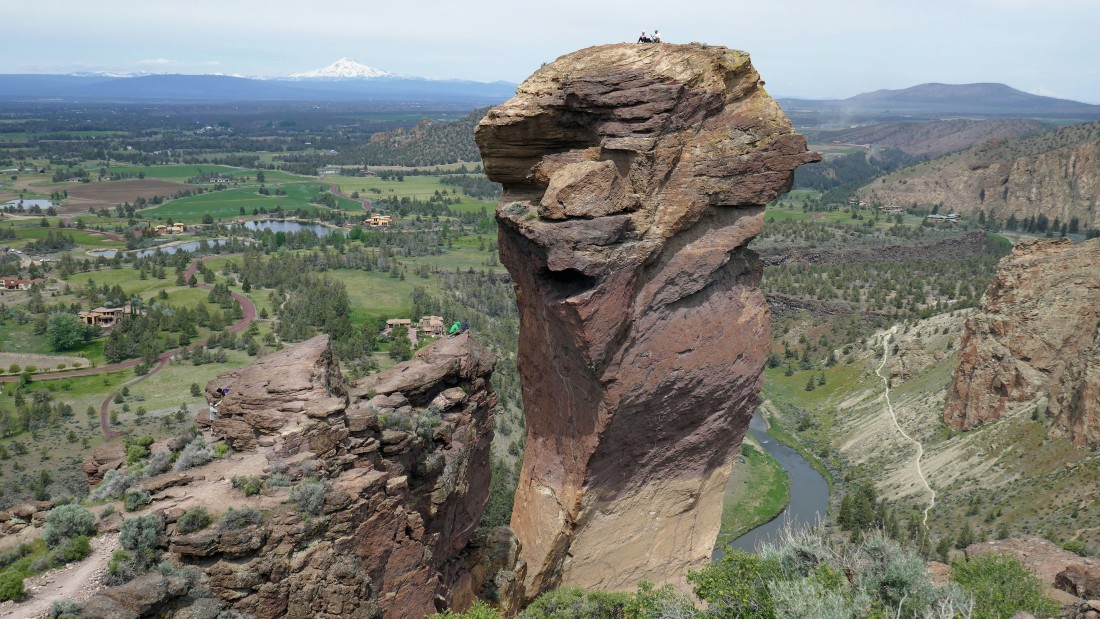
The two climbers are resting on top of Monkey Face... the person wearing a light green jacket has scrambled out to a rock formation called the 'Diving Board'... Mt. Jefferson is on the horizon to the left of Monkey Face... the Summit Trail is below on the right... with 'Kiss of the Lepers Buttress' in the right foreground.
|
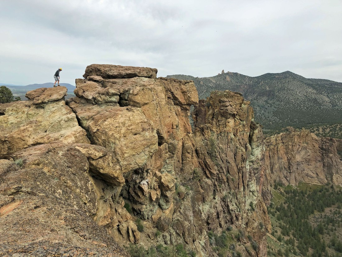
Heading up toward the high point on Misery Ridge.
|
The high point on Misery Ridge is higher than the top of Monkey Face.
|
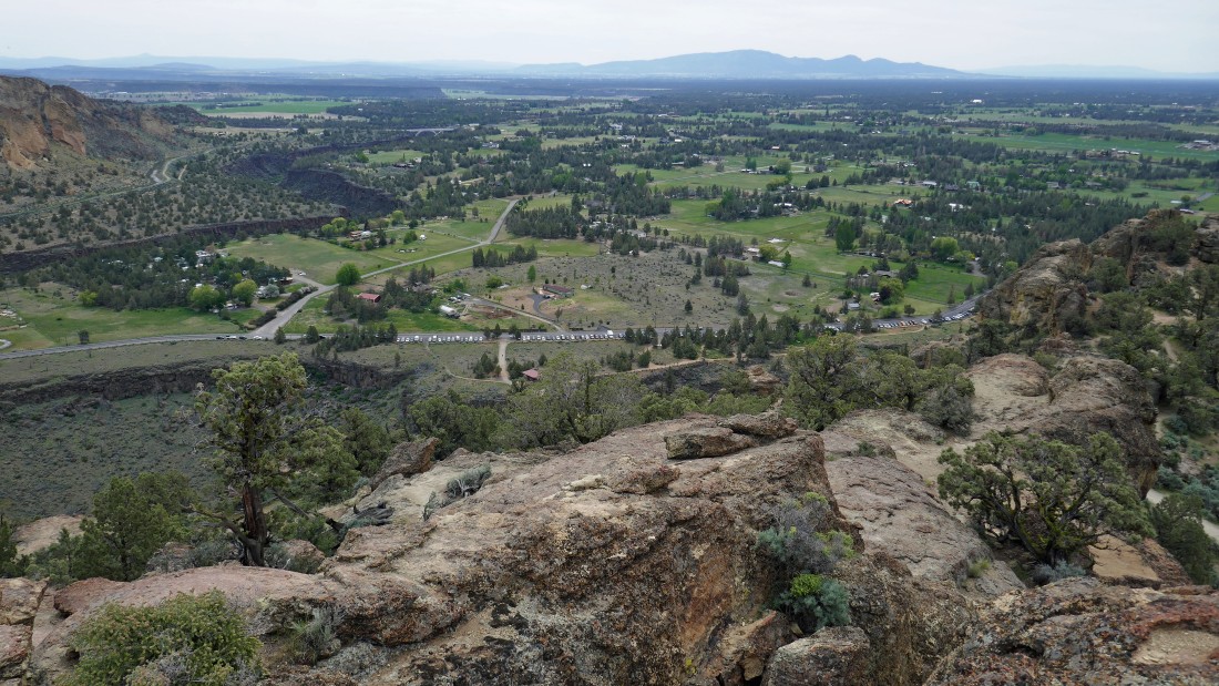
Looking down on the town of Terrebonne on the east side of Smith Rock State Park... more than 100 cars (on a Monday) are parked below.
|
Denali Girl took this photo of me getting ready to take a leap of faith in order to get to the high point of Misery Ridge.
|
Yes... I was successful on my leap of faith... Gray Butte on the right horizon... with the Crooked River below.
|
The climber in white is getting ready to do a very airy rappel off of the face of Monkey Face.
|
Broken Top (left) and Three Sisters from Misery Ridge.
|
The climber in white is getting ready to separate himself from the rock and dangle in mid air as he descends quickly.
|
The climber in white dangles above another climber who is climbing up.
|
The climber in white is almost down.
|
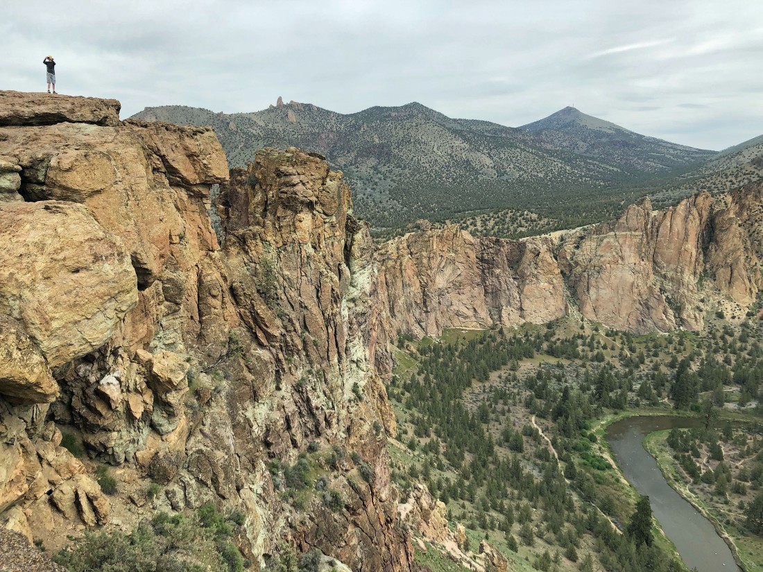
We are switchbacking down the east side of Misery Ridge... most folks go up this route, but we tend to go in the opposite direction of most folks.
|
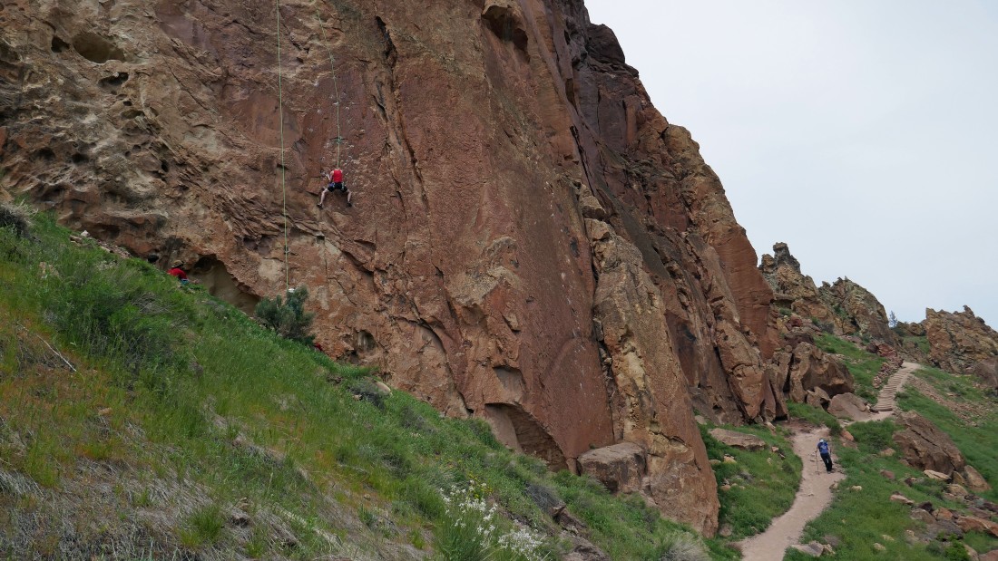
Descending the east side of Misery Ridge... watching climbers on the 'Red Wall'.
|
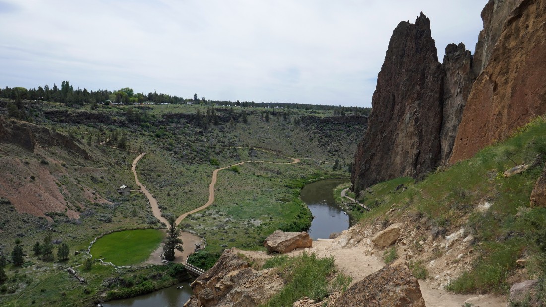
Continuing down the east side of Misery Ridge... we will cross the bridge below and then gain 150 feet of elevation up to our car... Shiprock is in the right foreground.
|
Back up to our car where a clump of balsamroot is waiting for us... what a day... a 4.2 mile loop hike, gaining ~900 feet of elevation.
|
