Paulina Peak and Point 7897 - 6.3.2019
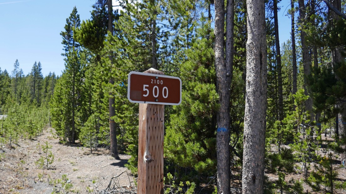
From Highway 97 in Central Oregon, turn onto Paulina Lake Road and drive ~13 miles... then turn right onto Paulina Peak Road (aka FS-2100-500).
|
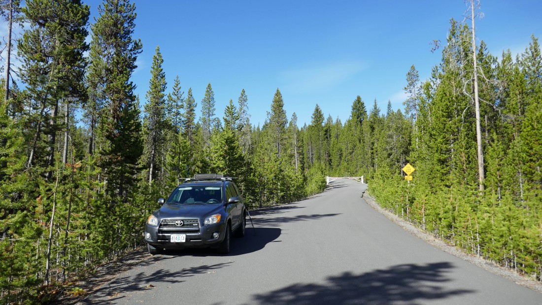
I was only able to drive FS-2100-500 for a very short distance to where the road was gated due to lingering snow at higher elevation... when the gate (~6350') is open a person can drive all the way to the top of Paulina Peak.
|
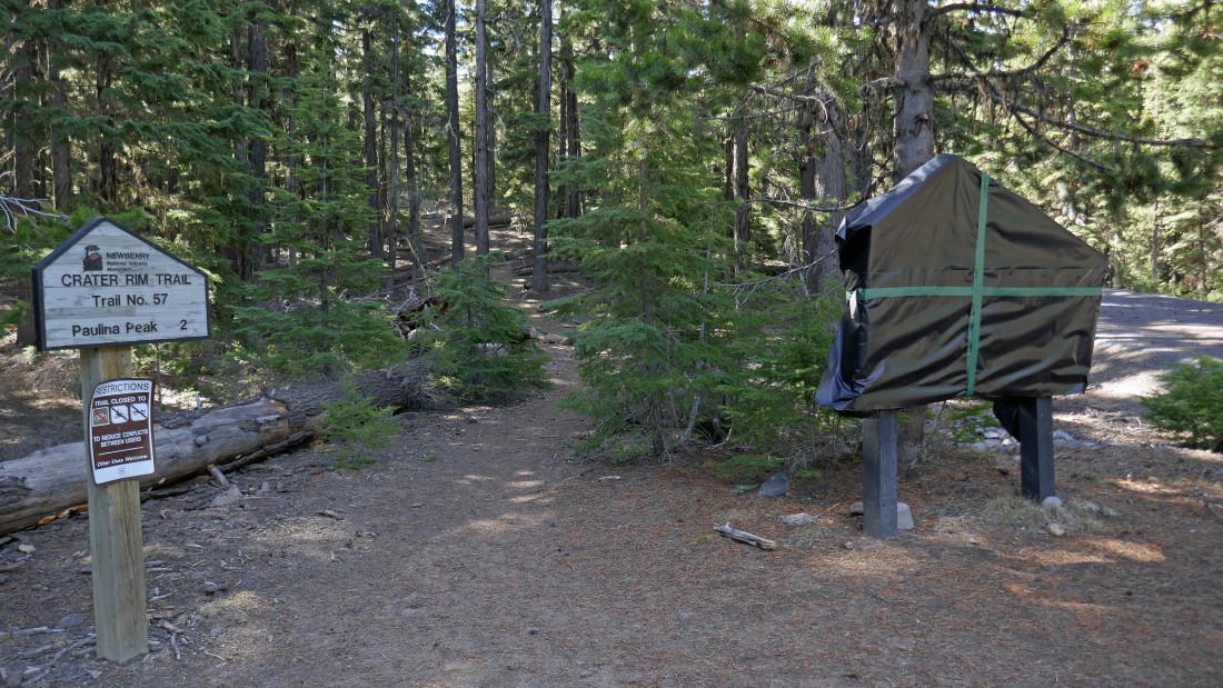
After walking the road for .6 miles I reached the official trailhead (~6540') for Paulina Peak which makes up a short portion of Crater Rim Trail #57.
|
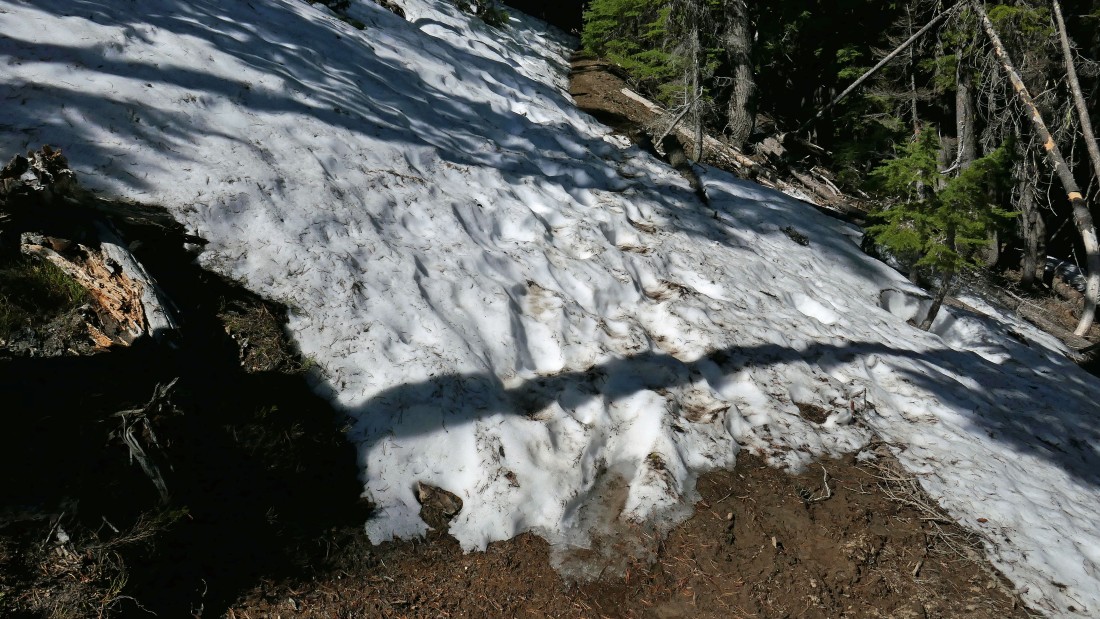
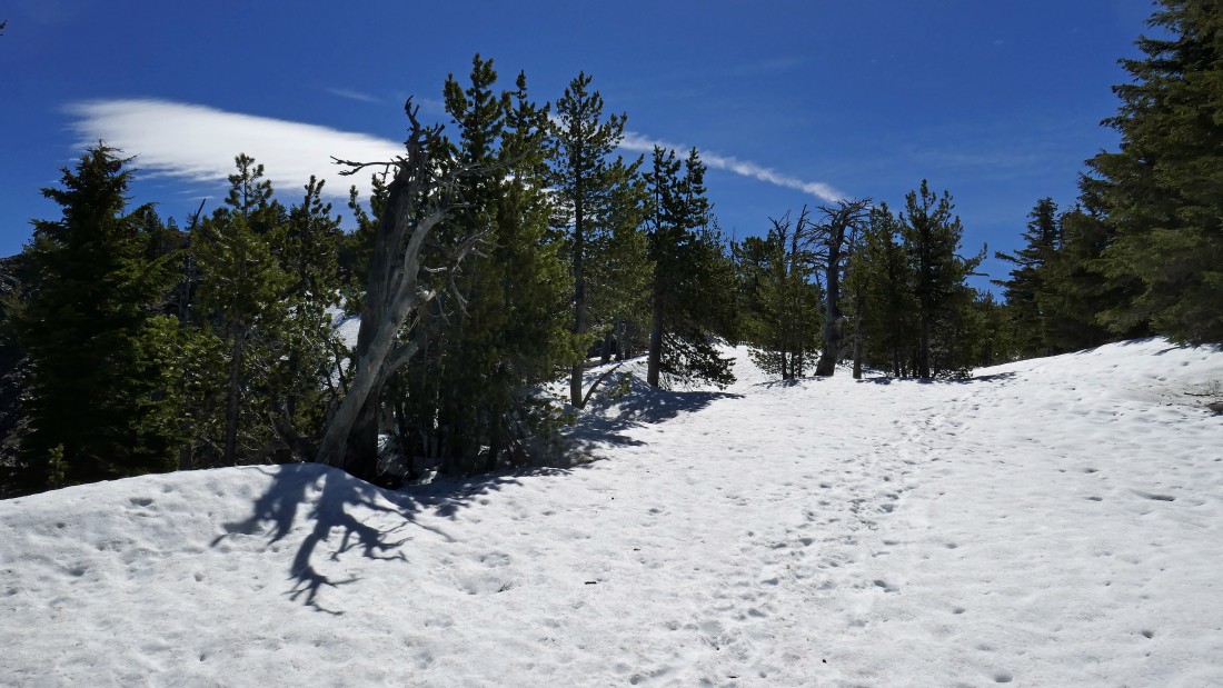
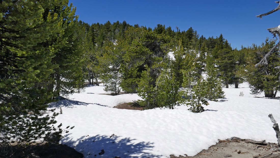
At ~6700 feet I hit patchy snow which lasted until I hit steady snow at ~7200 feet.
|
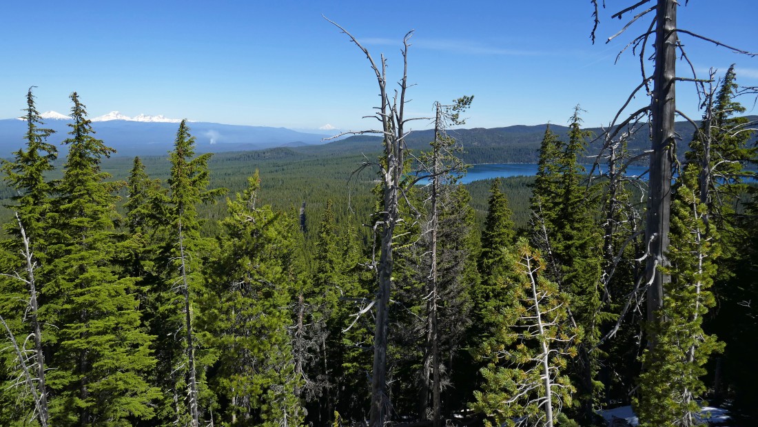
At ~7200 feet I started getting peak-a-boo views of Paulina Lake and the Cascade Mountains.
|
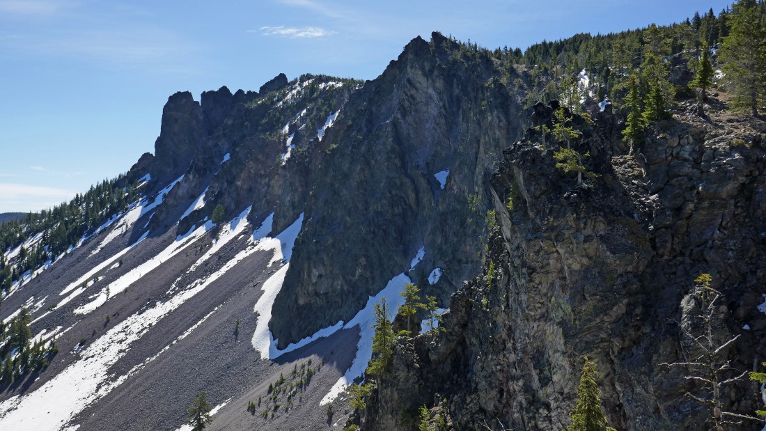
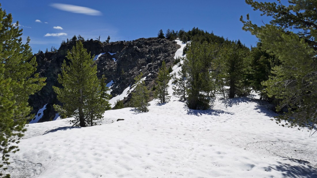
Continuing along the Newberry Crater rim as I gain elevation on my way to Paulina Peak (not in this photo).
|
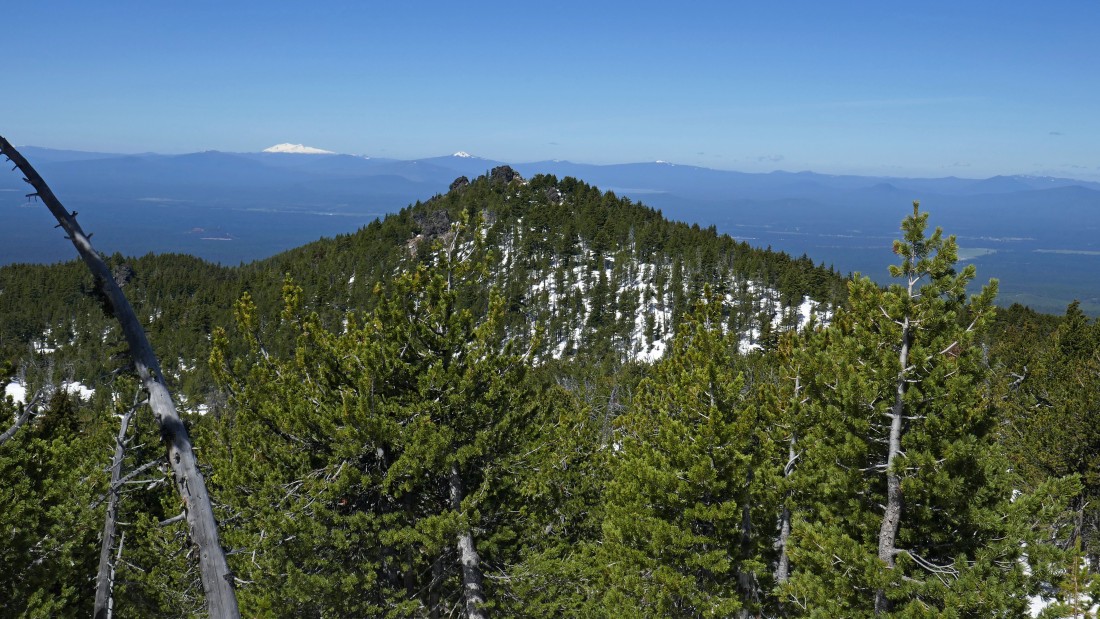
Still gaining elevation along the crater rim... with the east end of Paulina Lake in the left center of the photo... and East Lake beyond... looks like a nice view spot up there on the right.
|
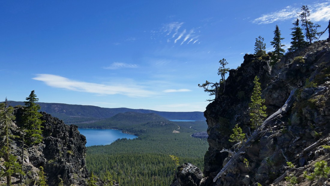
Yes... a very nice viewing area... with Paulina Lake in the foreground... and East Lake in the distance beyond.
|
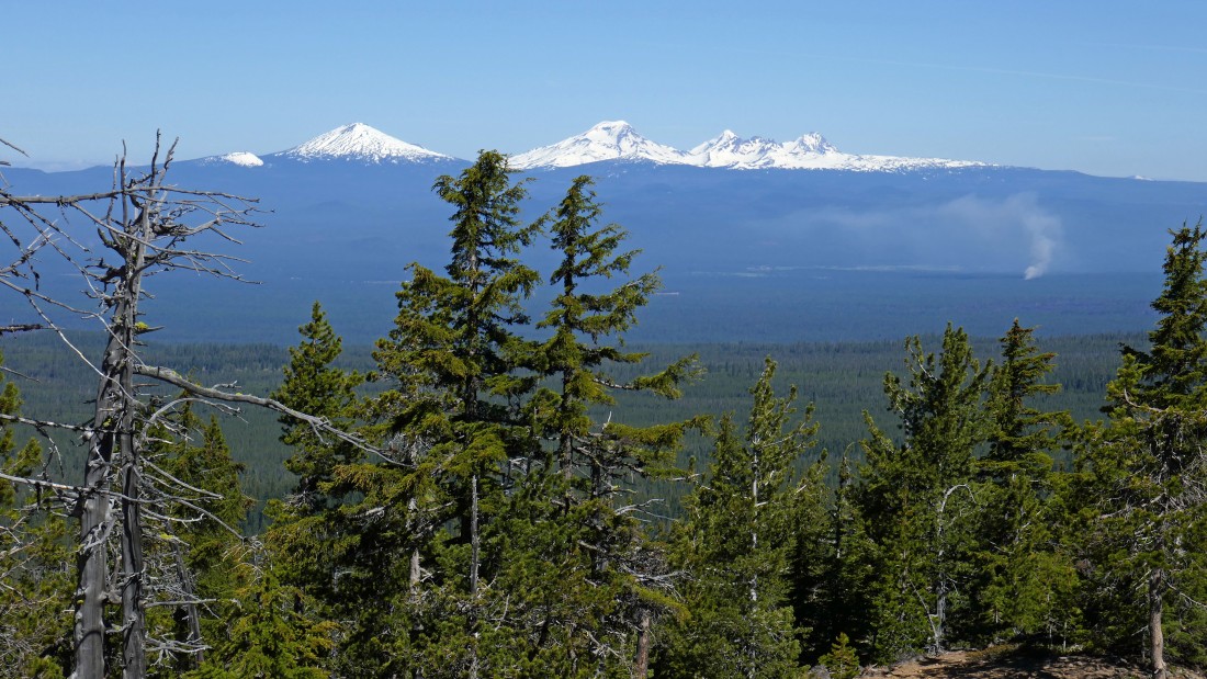
A closeup of Mt. Bachelor on the left... and the Three Sisters in the center of the photo... Broken Top is dwarfed by Middle Sister and North Sister.
|
Still at least a couple feet of snow at ~7800 feet.
|
|
Looking out toward the Cascades there is definitely a fire... later I found out it was a prescribed burn.
|
The Paulina Peak summit is up there on the right.
|
From the Paulina Peak summit (7984') I am looking over to Point 7897 which I will visit after spending some time exploring the Paulina Peak summit area.
|
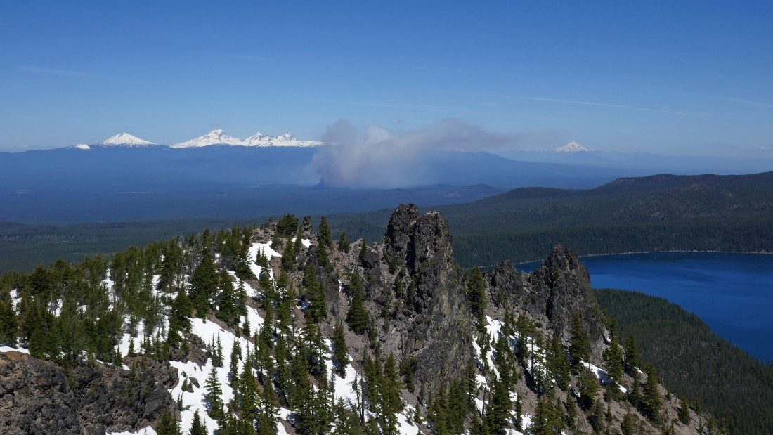
A pano shot from the Paulina Peak summit... Point 7897 is in the far left foreground... I suppose that might be Mt. Shasta to the left of 7897... the prescribed burn is in the center of the photo with Bachelor and Three Sisters beyond it... Paulina Lake and part of East Lake are also visible.
|
A closer look at that prescribed burn... Mt. Jefferson is on the horizon to the right of the burn.
|
|
This shows a large part of the parking area at the top of Paulina Peak... I'm going to head out that way and see if I can get a closer look at the 'Big Obsidian Flow'.
|
Looking out to the 'Big Obsidian Flow' on the right... it covers 700 acres and was created 1300 years ago.
|
I have left the Paulina Peak summit and heading for Point 7897... up there somewhere.
|
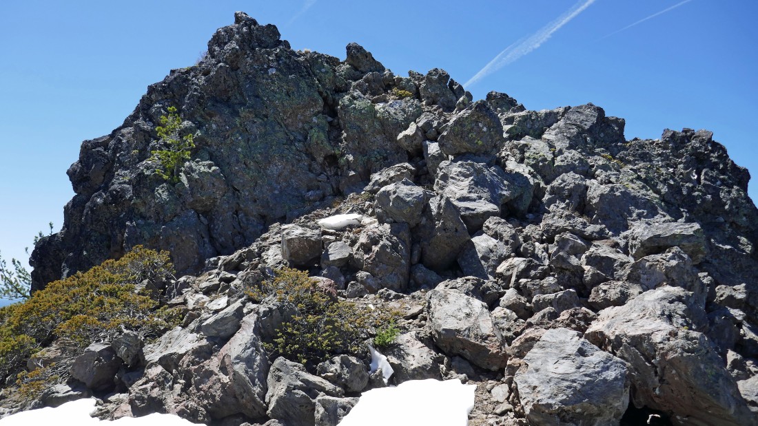
It will be an easy scramble up to the top of Point 7897.
|
A pano shot from Point 7897... the Paulina Peak summit is on the far right... I will more or less trace my steps back to the car... the trip was 5.7 miles, gaining 2100 feet of elevation.
|
