Point 7934 and Green Lakes - 6.15.2019
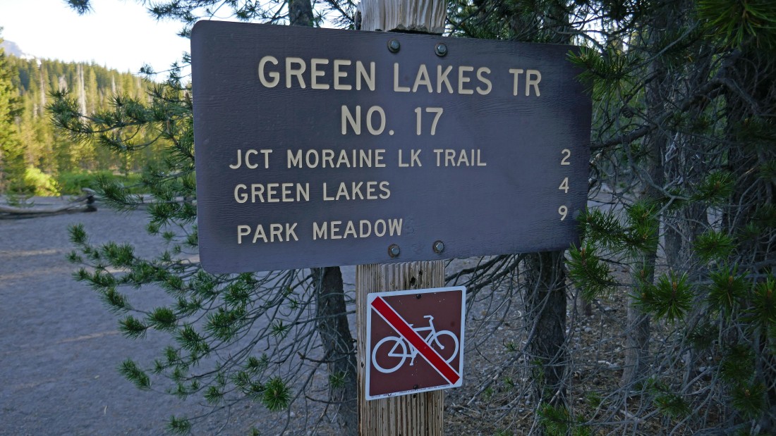
The trailhead for Green Lakes Trail #17 is located just off of Cascade Lakes Hwy... across the highway from the Sparks Lake Recreation Area... this is probably the most popular trailhead in the Three Sisters Wilderness.
|
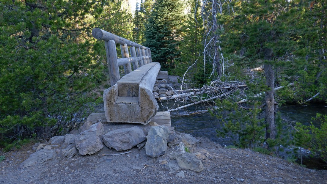
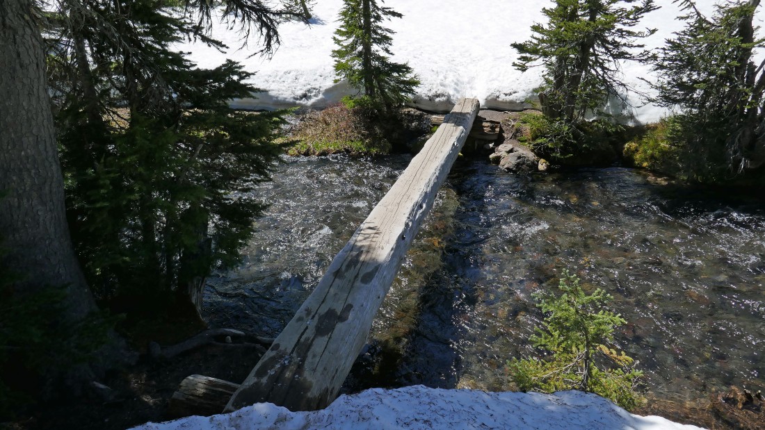
The first crossing of Fall Creek is less than a quarter mile from the trailhead.
|
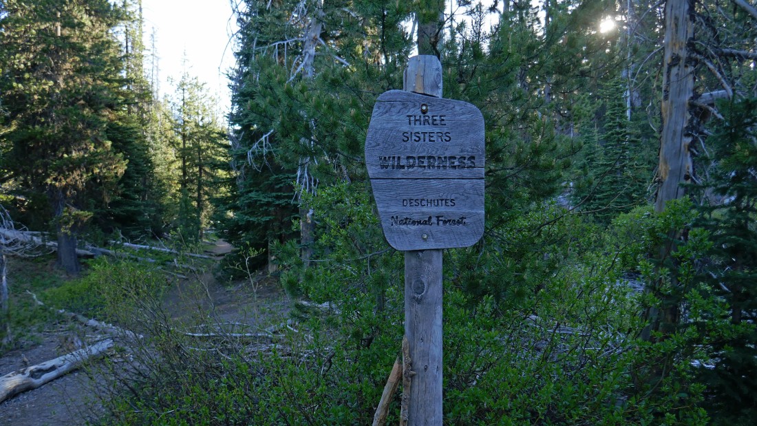
Immediately after the bridge crossing of Fall Creek in the previous photo you will make the official entry into Three Sisters Wilderness.
|
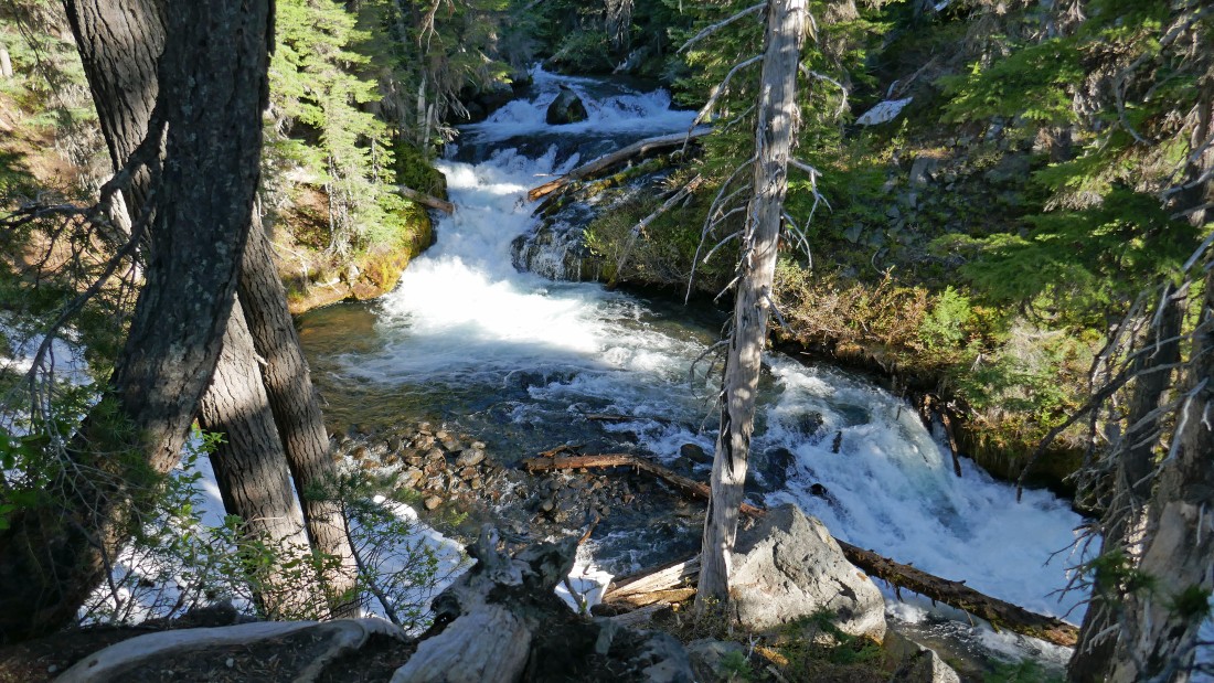
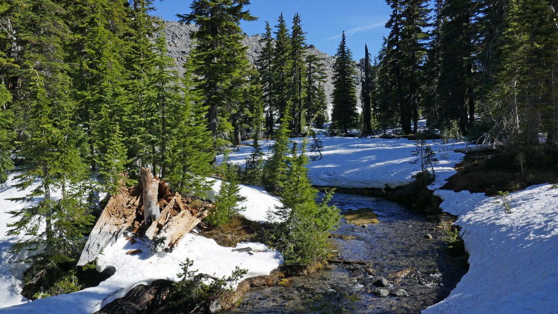
There are lots and lots of waterfalls on Fall Creek... probably should be called Falls Creek.
|
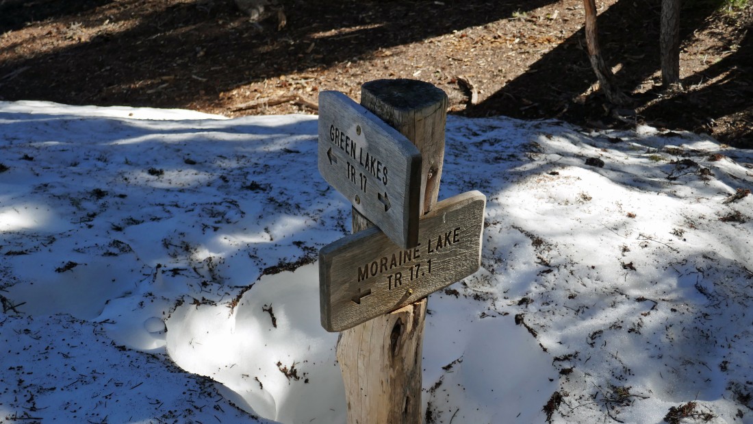
After hiking two miles I reached the junction with the Moraine Lake Trail #17.1... where I will continue on the Green Lakes Trail.
|
A quarter mile beyond the Green Lakes/Moraine Lake trail junction I decided to leave the main trail and stay on the west side of Fall Creek instead of staying on the Green Lakes Trail.
|
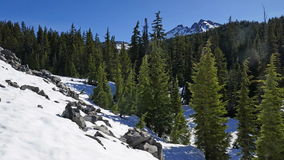
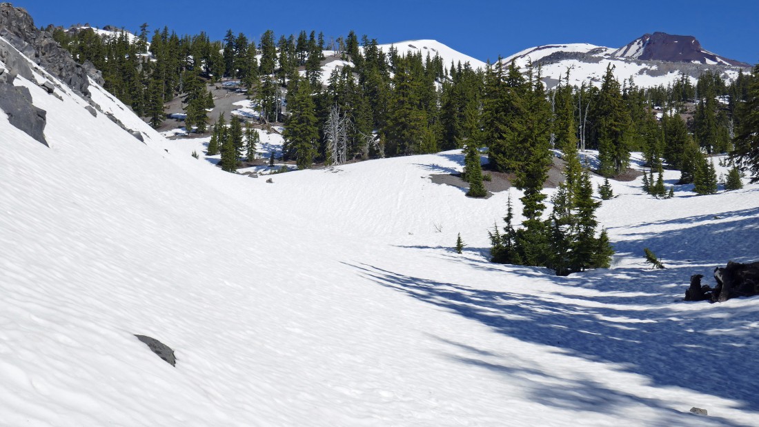
Shortly after leaving the Green Lakes Trail I am going around the east end of the northern most lava dome in a series of lava domes called the Devils Chain... the top of Broken Top is visible in the distance.
|
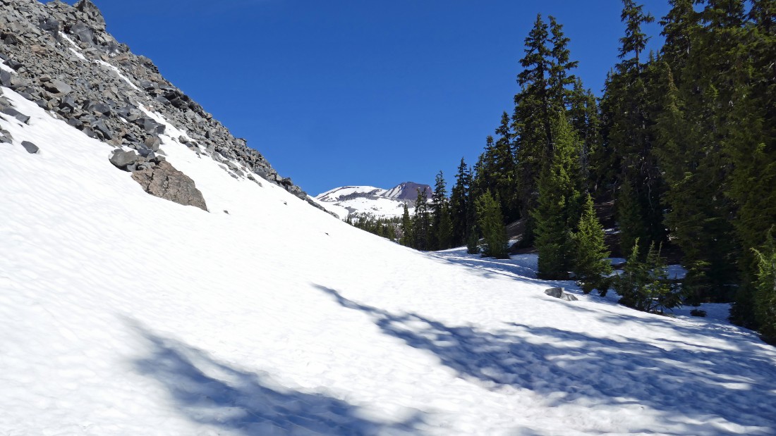
I have worked my way around the east end of Devils Chain and now heading NNW toward South Sister in the distance.
|
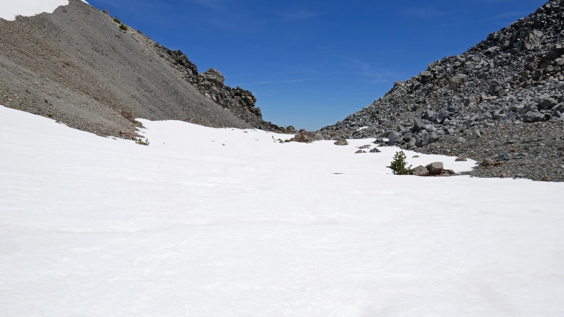
Still heading NNW toward South Sister... now on the north side of Devils Chain (left) and heading for the Newberry Lava Flow above the trees on the right.
|
Gaining elevation and looking across part of the Newberry Lava Flow to Broken Top.
|
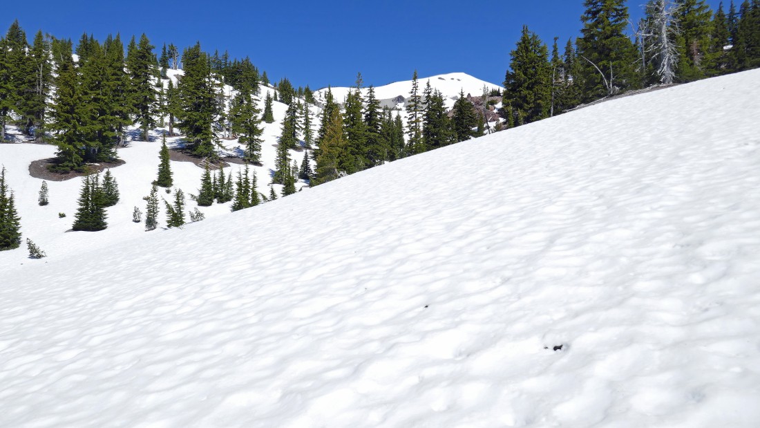
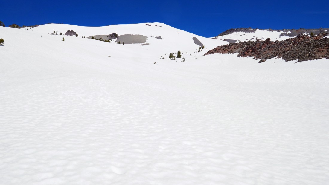
Continuing to gain elevation between the north end of Devils Chain and the Newberry Lava Flow... at this point I didn't realize that later in the day I would visit the top (7840+) of the white pyramid on the horizon.
|
Continuing to gain elevation between the north end of Devils Chain and the Newberry Lava Flow.
|
Looking back at my route... I have hiked beyond the north end of Devils Chain in the right foreground and continuing to gain elevation along the west border of the Newberry Lava Flow... Broken Top on the left and Mt. Bachelor on the right.
|
Still following the west border of the Newberry Lava Flow on the right... heading for the gap above.
|
Getting closer to the gap above that separates Point 7840+ and the west end of the Newberry Lava Flow.
|
|
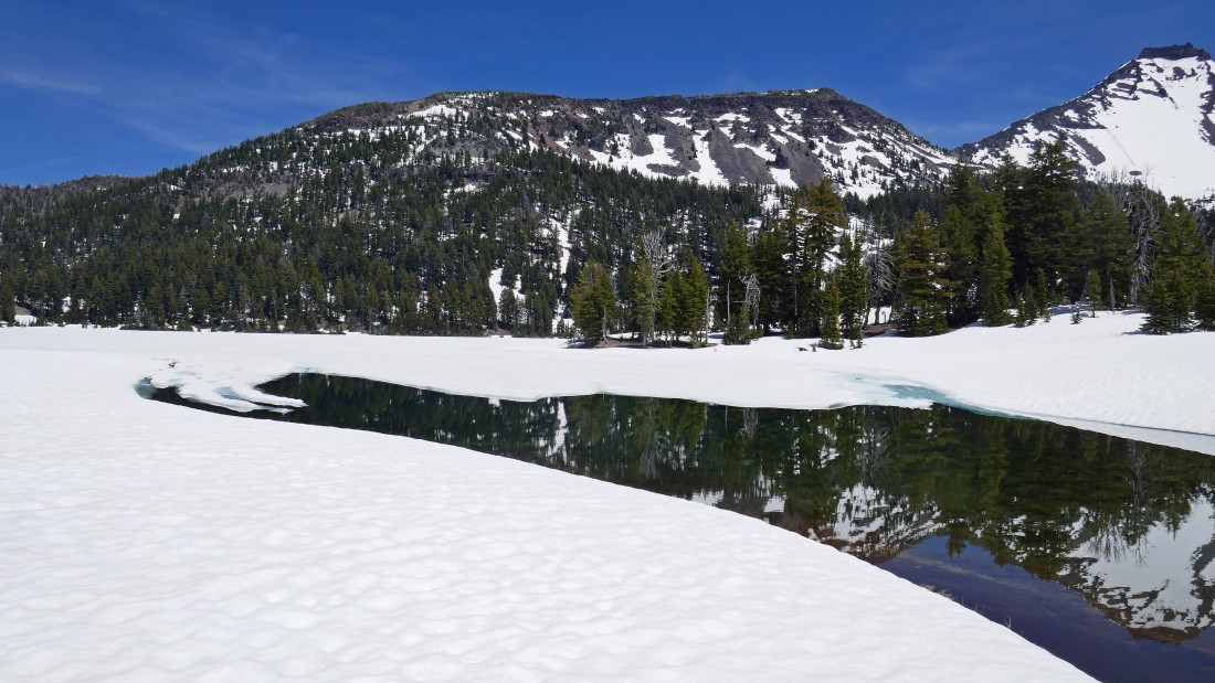
Difficult to make out in the photo, but I'm high enough to see beyond part of the Newberry Lava Flow to the first of the Green Lakes at the base of Broken Top... with Mt. Bachelor and Sparks Lake on the right.
|
Tumalo Mountain on the far left... then Mt. Bachelor and Sparks Lake... the bump in the right foreground is Devils Hill.
|
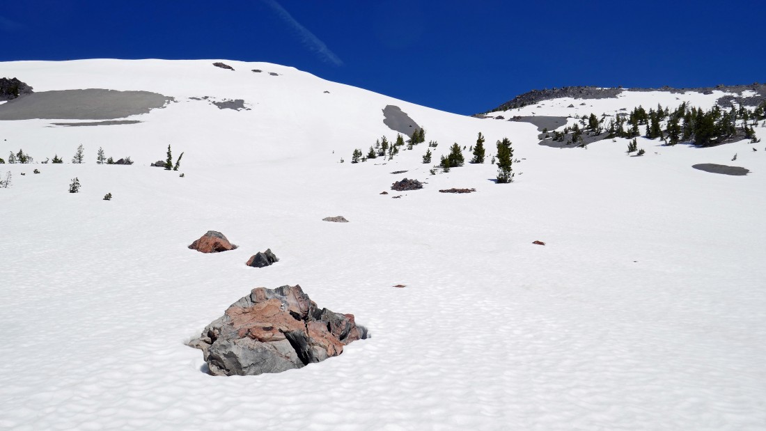
Taking a break at this monolith as I continue to gain elevation along the west side of the Newberry Lava Flow.
|
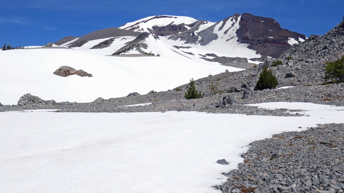
The first of the snow covered Green Lakes is more visible now at the base of Broken Top... I still haven't reached the top of the Newberry Lava Flow.
|
I'm actually on part of the Newberry Lava Flow as I continue up toward Point 7840+.
|
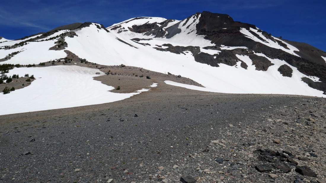
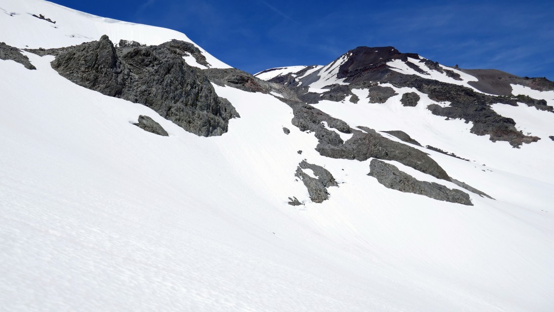
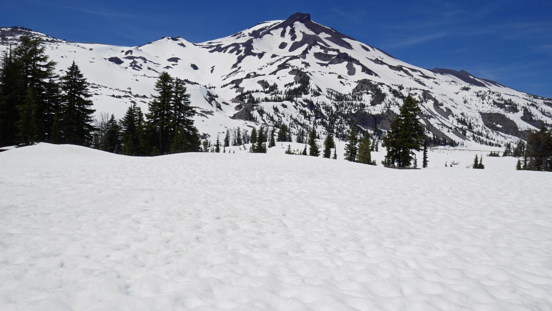
I am off of the lava flow now on fairly flat terrain... with a nice look at South Sister and Hodge Crest above... now I'm going to gain another 100 feet of elevation up onto the snow covered ridge line stretching across the middle of the photo.
|
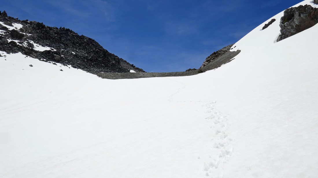
The ridge line I referred to in the previous photo was actually melted out... I'm standing on Point 7934 now and will visit Point 7840+ out there a little later... but first I'm going to continue north on the ridge from here to see if I can get a look at the biggest of the Green Lakes.
|
This ridgeline is fairly flat... Lewis Glacier Peak on the left... the South Sister summit area is in the center of the photo... with Hodge Crest in the right foreground.
|
Standing at my high point (8012') for the trip... and I did get a look at the biggest of the Green Lakes on the left.
|
I am returning from my high point on the ridge and will have to go on out to Point 7840+ before heading down to Green Lakes.
|
|
Looking back toward South Sister from Point 7840+... after soaking up the views from here I will exit the area from what I named 'Newberry Pass' which turned out to be a very convenient route to get between the ridge and the west end of the Newberry Lava Flow.
|
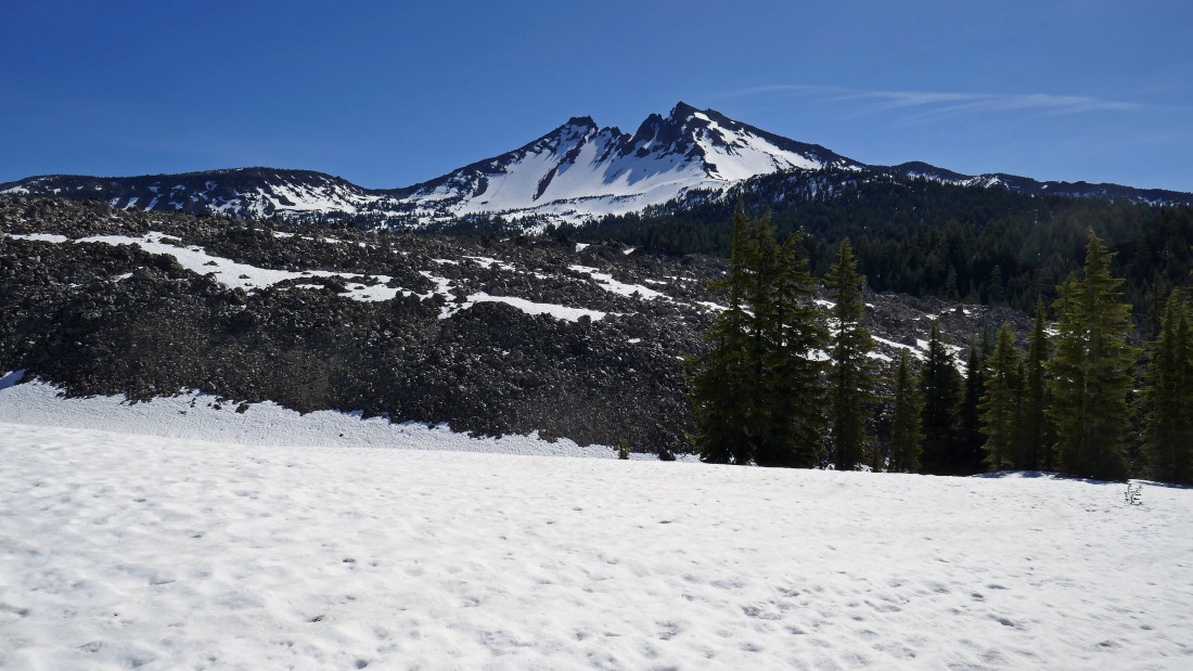
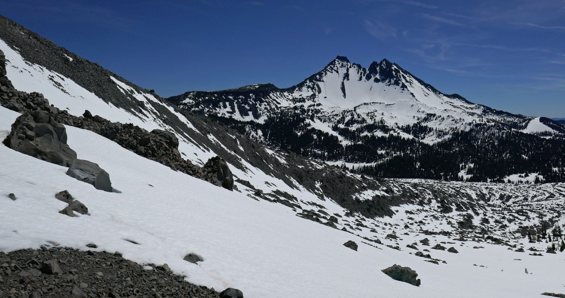
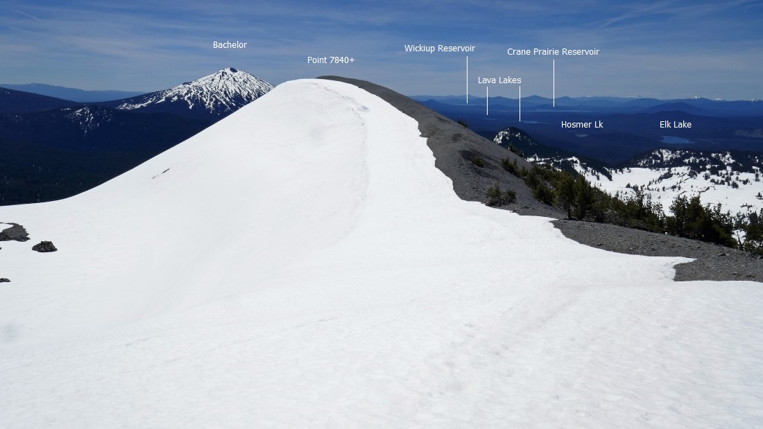
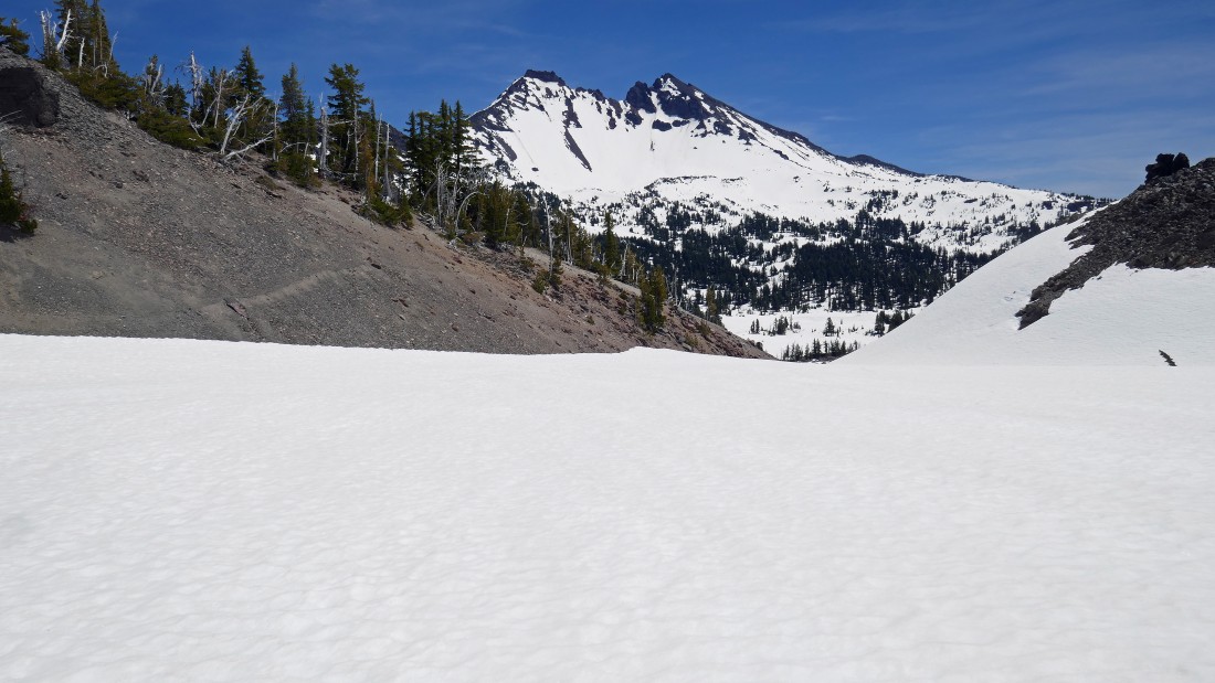
Looking south from Point 7840+... Devils Chain is a series of six lava domes that stretch from here out to the Cascade Lakes Highway... the Rock Mesa Lava Flow is very similar in size to the Newberry Lava Flow.
|
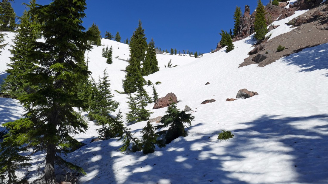
Looking back at Point 7840+ as I head for Newberry Pass.
|
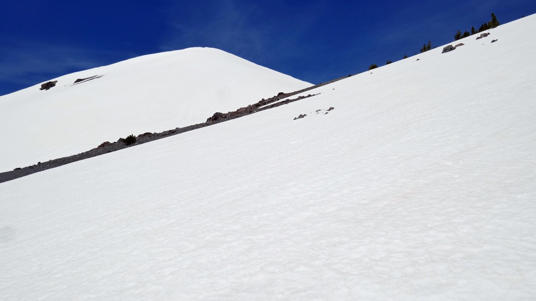
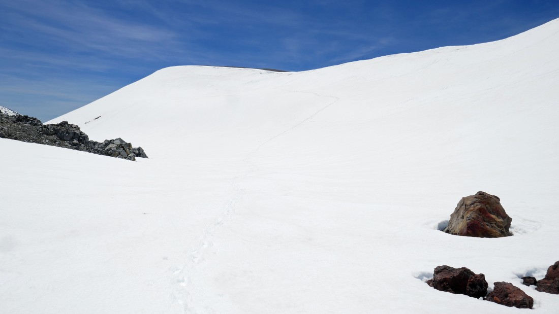
Nearing Newberry Pass... Point 8012 is out of frame on the left... with the west end of the Newberry Lava Flow on the right.
|
I have crossed over Newberry Pass and heading down toward Green Lakes.
|
|
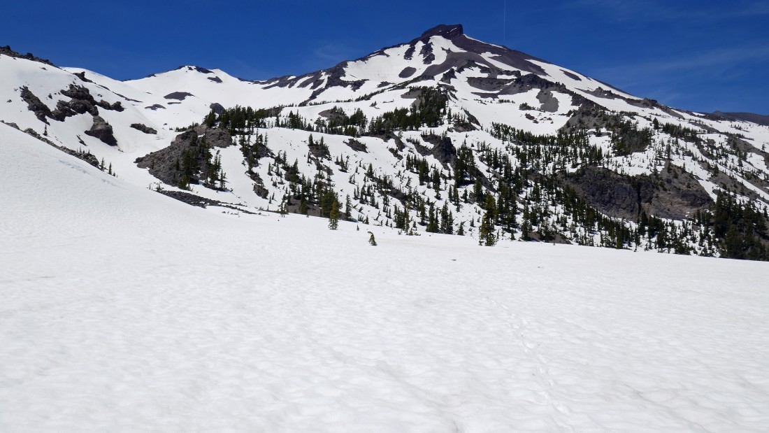
Heading for Green Lakes... 1200 feet below.
|
Heading for Green Lakes... looking up at Point 8012 on the left... with the South Sister summit area through the gap... and Hodge Crest in the right foreground.
|
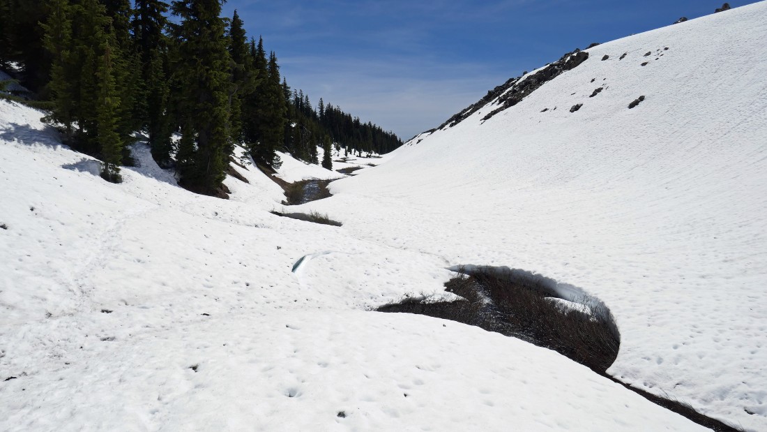
The terrain is funnelling me down toward the lakes.
|
Being familiar with the area I know it is smart to get off of the snow here... it is very inviting to stay on the snow here, but you will see what I mean a little later.
|
Looking back at my route down from Newberry Pass.
|
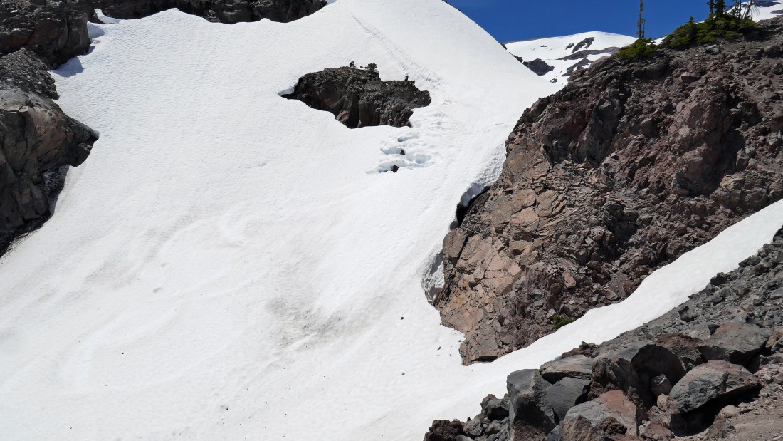
If I had chosen to stay on the snow this is what was waiting for me.
|
On fairly flat terrain now... just need to find a way to get across the outlet of the biggest Green Lake.
|
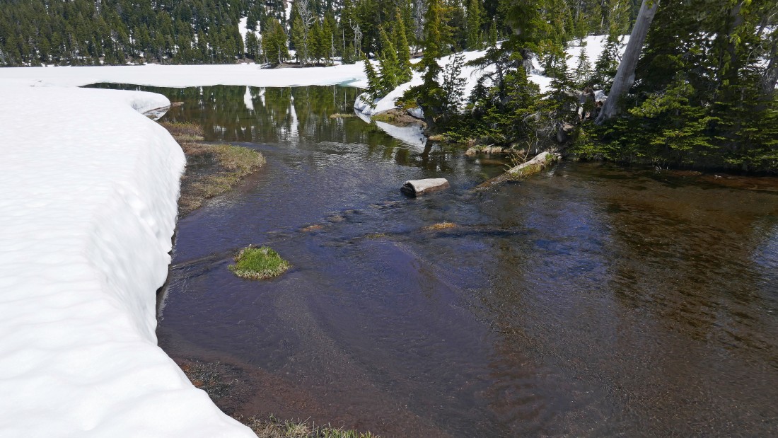
Ugh... the rock and log crossing looks kind of tenuous... I can see another possibility a short distance down stream.
|
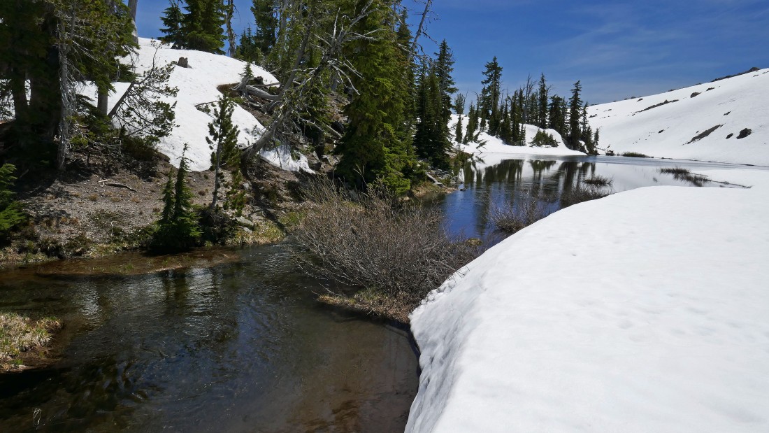
I don't like this spot either... I will head back toward the lake and look for something else.
|
I will continue along the melt until I can find a spot that hasn't melted out yet... then walk on water to get across.
|
|
Safely across the lake and looking back... time to exhale... the Newberry Lava Flow stretches left-to-right across more than a third of the photo.
|
One last look at South Sister before heading back to the car on the Green Lakes Trail.
|
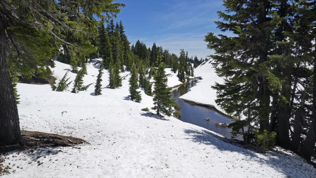
Returning to the car on the Green Lakes Trail that follows along the east side of Fall Creek.
|
Returning to the car along the east side of Fall Creek... it will be a 4 mile hike from the lakes to the car.
|
After hiking ~1.75 miles from the lakes there are two nice log bridges that allow a person to keep dry feet when crossing Fall Creek... this was a 12.9 mile hike, gaining 3000 feet of elevation.
|
