South Ingalls Peak and Fortune Peak - 6.24.2019
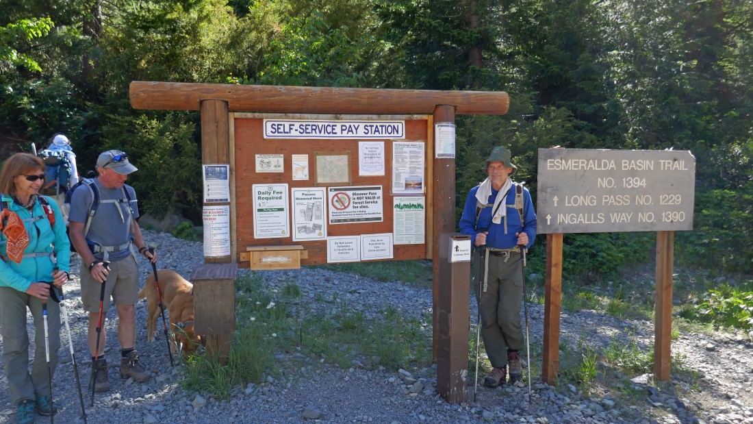
Park at the end of N. Fork Teanaway Road (aka FS-9737) and start hiking on Esmeralda Basin Trail #1394.
|
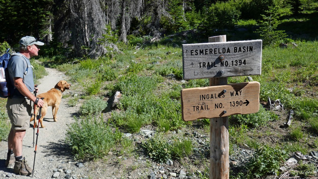
After hiking a total of .3 miles the Esmeralda Basin Trail continues straight, but most of our group turned right onto Ingalls Way Trail #1390 while MiddleE, Sadie's Driver and Cooper headed up the Esmeralda Basin Trail... we will meet up with them later in the day at the summit of Fortune Peak.
|
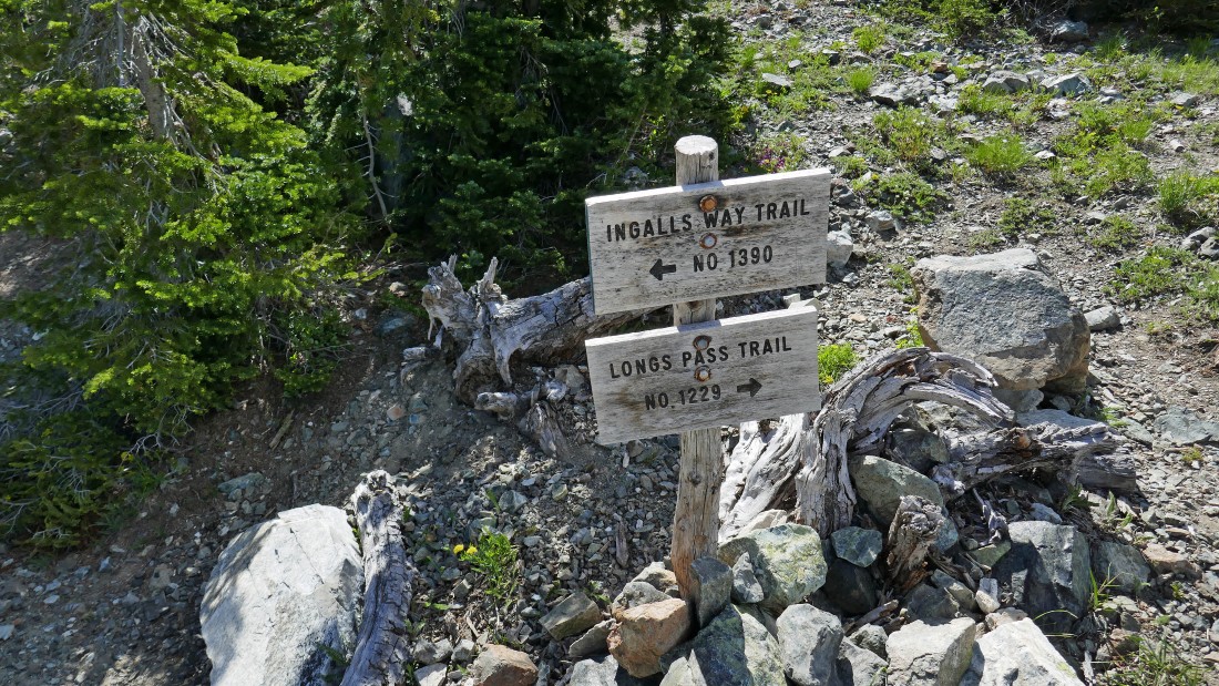
After hiking a total of 1.7 miles we have reached the junction with Longs Pass Trail #1229... but we will stay on the Ingalls Way Trail and head for Ingalls Pass.
|
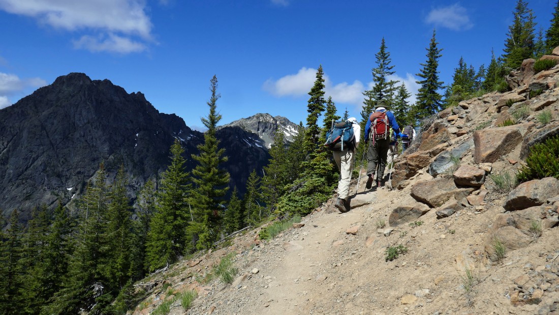
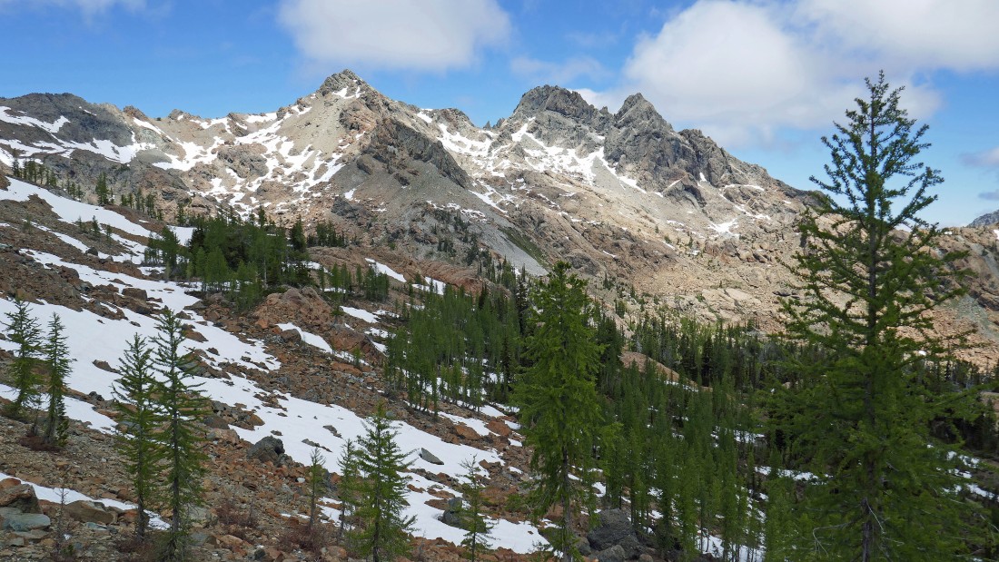
Continuing on the Ingalls Way Trail... with the east end of Esmeralda Peaks in the left foreground.
|
A friend was waiting for us just before we reached Ingalls Pass.
|
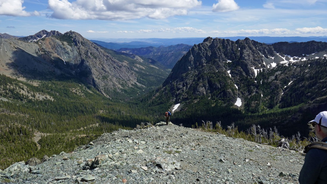
After hiking a total of 3.3 miles we have reached Ingalls Pass (~6500')... and got this look at South Ingalls in the left center of the photo... with North Ingalls and East Ingalls in the right center of the photo.
|
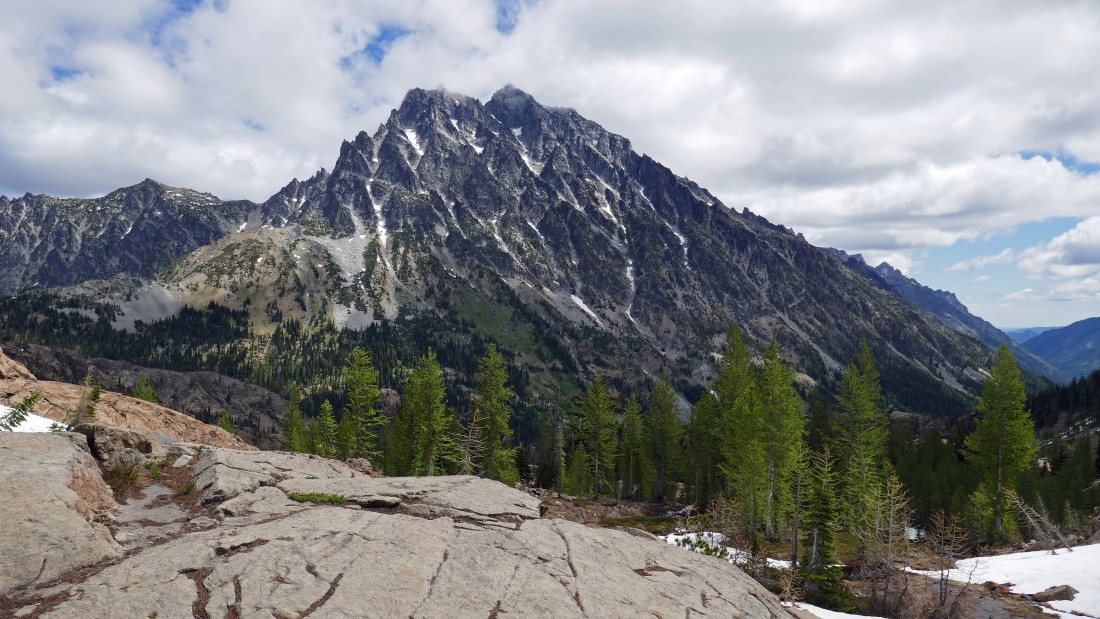
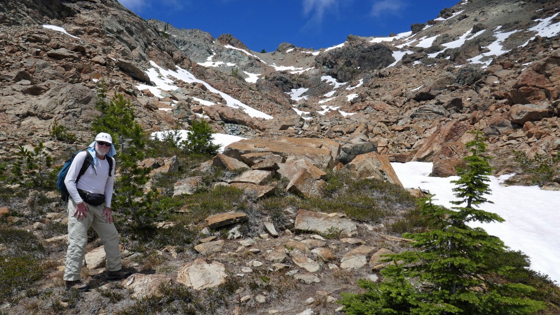
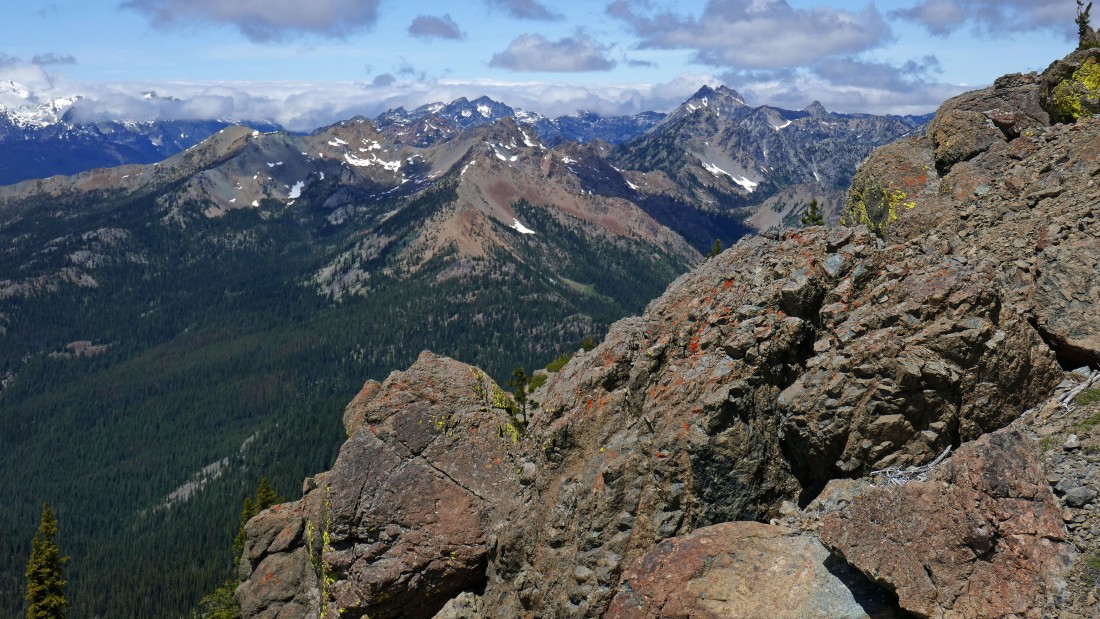
From Ingalls Pass we dropped down into Headlight Basin on our way over to South Ingalls... and got this view of Mount Stuart.
|
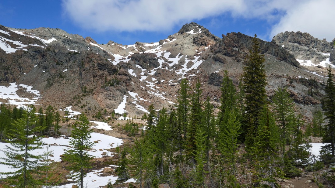
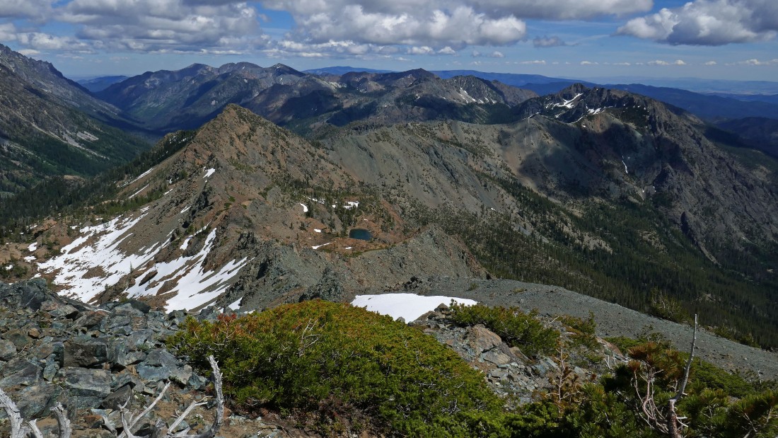
Our first destination is South Ingalls in the right center of the photo... we will work our way up to the ridge in the center of the photo... North Ingalls is on the far right.
|
rocman gets ready to lead us up toward the low point on the ridge... our target for the time being is that small group of trees on the ridgeline.
|
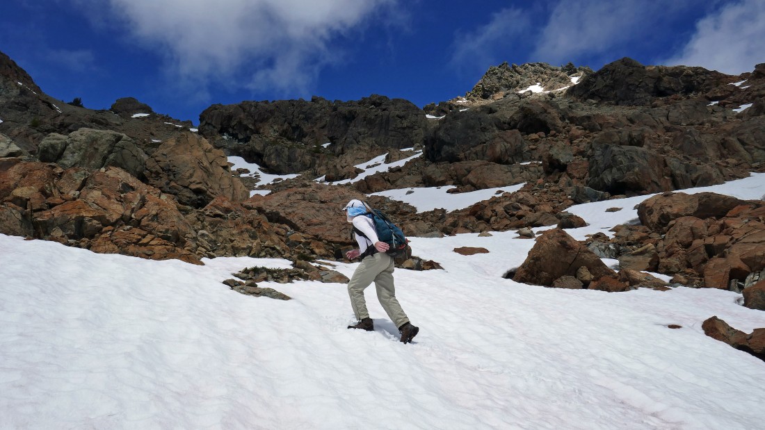
Heading for that small group of trees on the far left portion of the ridgeline.
|
The small group of trees on the ridgeline are getting closer.
|
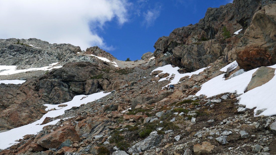
rocman heads for the small group of trees on the ridge.
|
rocman is almost on the ridgeline.
|
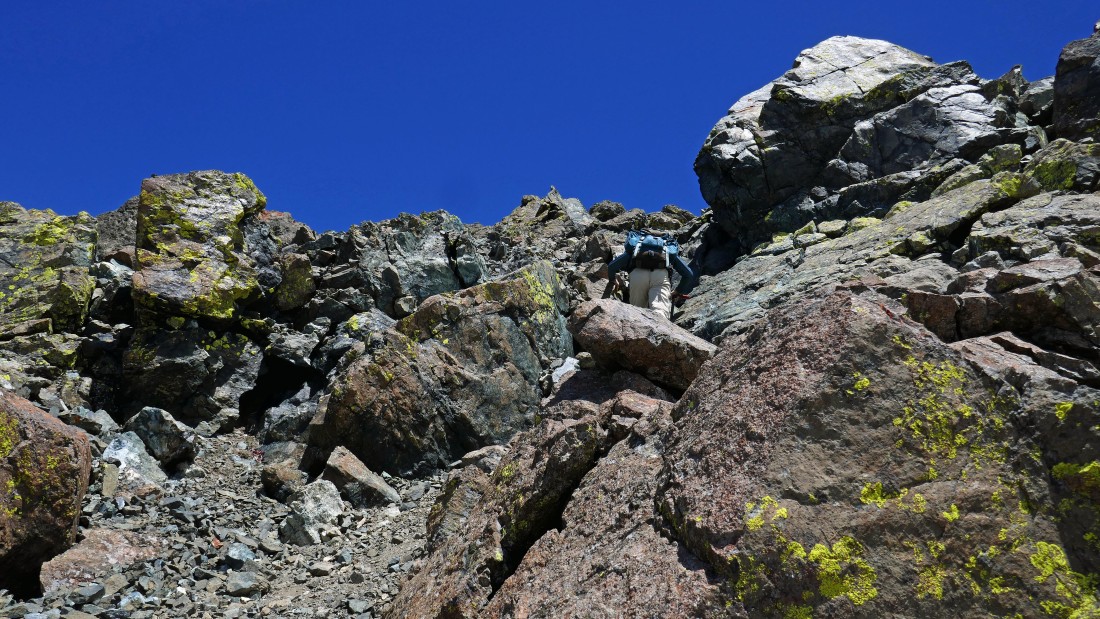
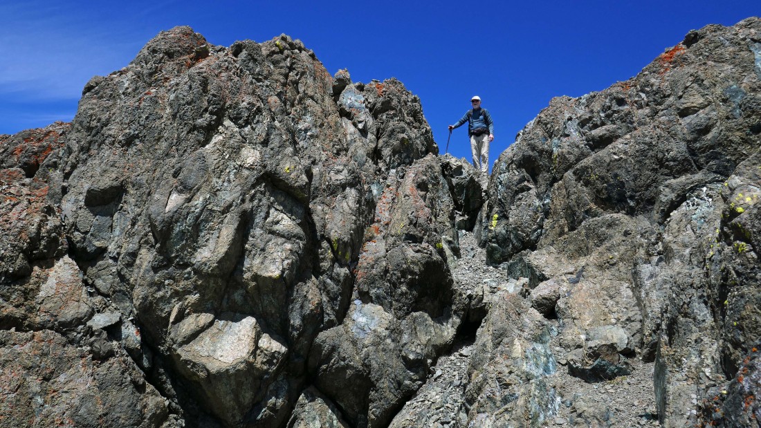
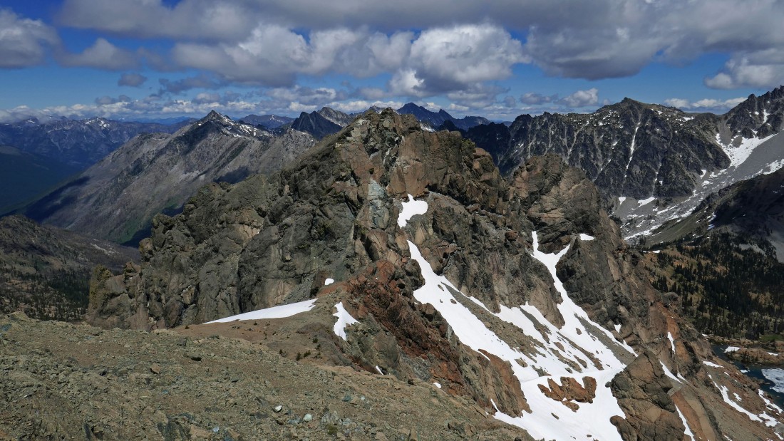
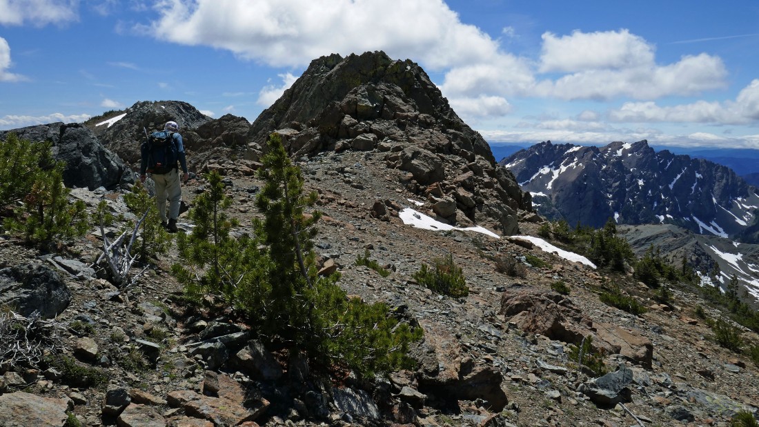
Finally on the ridge (~7300')... a good path will lead us up to the summit block of South Ingalls.
|
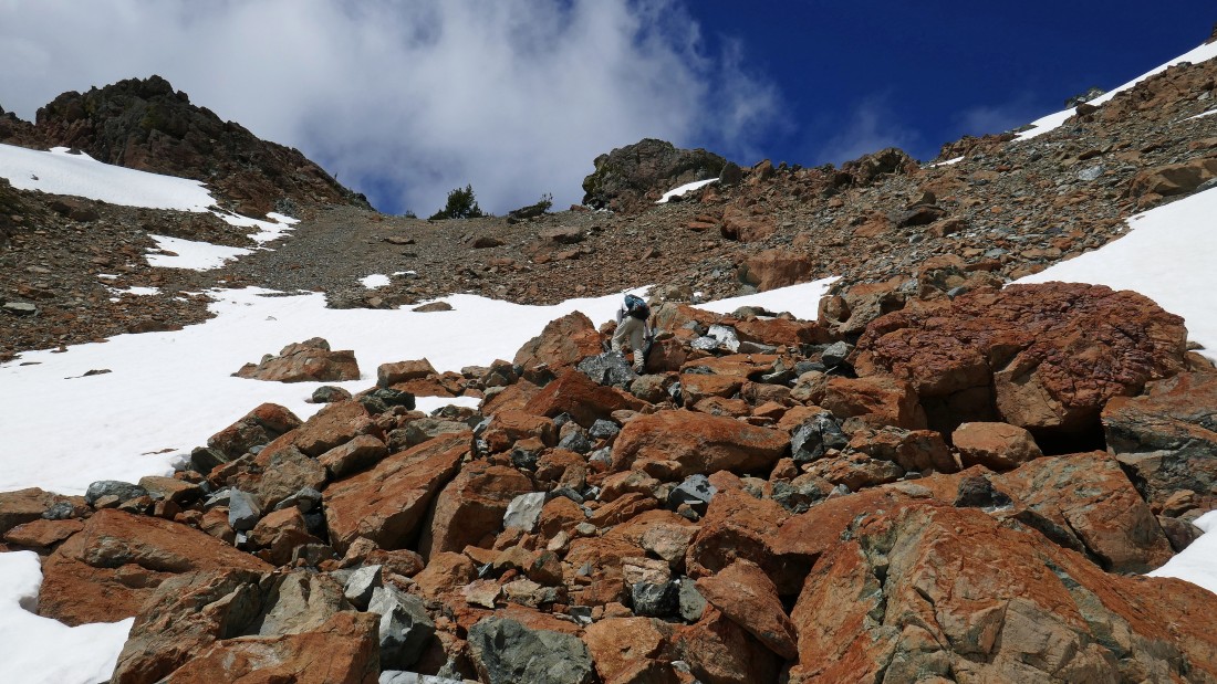
A closer look at the summit block of South Ingalls... not quite as gnarly as it might appear in this photo.
|
|
Getting ready to head up the south side of the South Ingalls summit block... Mt. Stuart on the left... with Fortune Peak on the right.
|
Getting ready to head up the south side of the South Ingalls summit block... looking south to Fortune Peak on the left... and Hawkins Mountain in the center of the photo... with Davis Peak and the massive Goat Mountain on the right... and the Dutch Miller peaks on the right horizon.
|
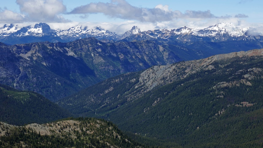
A closeup... looking beyond the massive Goat Mountain in the foreground to the Dutch Miller peaks... left-to-right... Lemah, Chimney Rock, the three Summit Chiefs, Bears Breast (center of photo), Hinman and Daniel.
|
Looking NW from the south side of South Ingalls... Scatter Peaks in the foreground... with Granite Mountain beyond on the center horizon... with The Cradle the twin summits in the right center of the photo.
|
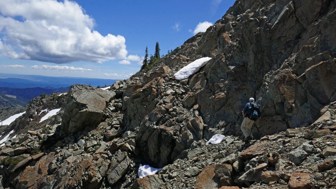
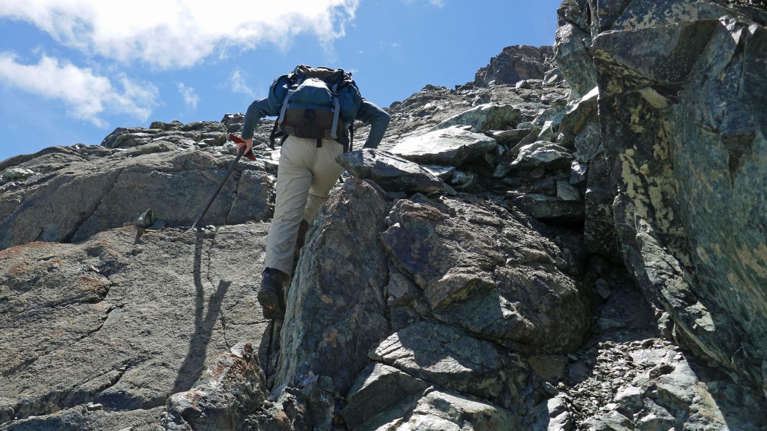
Okay... enough peak viewing for now... lets start working the South Ingalls summit block... rocman leads the way.
|
Continuing up the south side of South Ingalls.
|
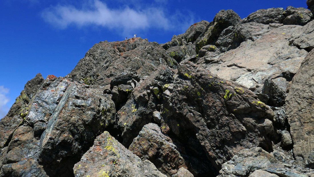
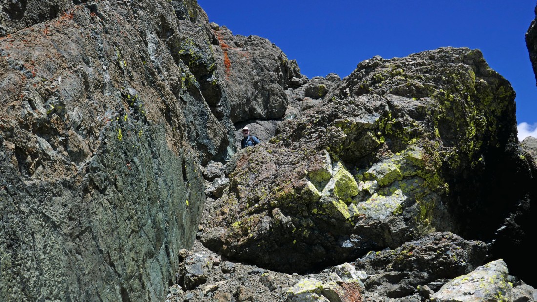
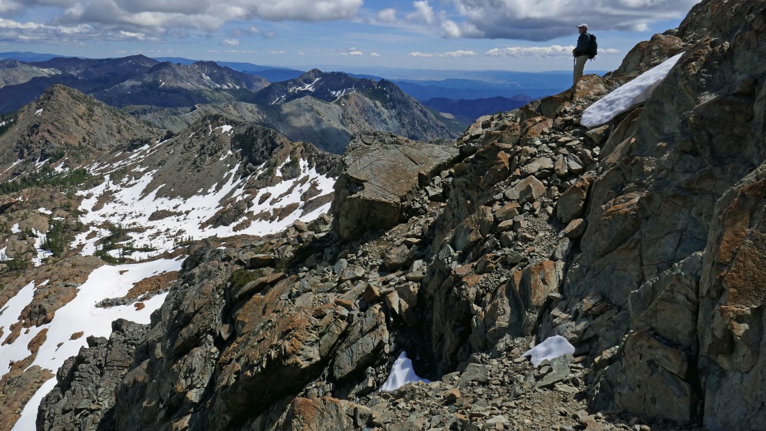
We didn't see this coming but there are people up on the summit.
|
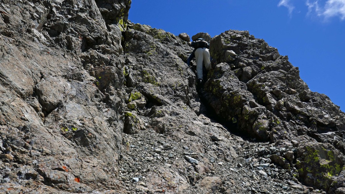
rocman continues up the south side of South Ingalls.
|
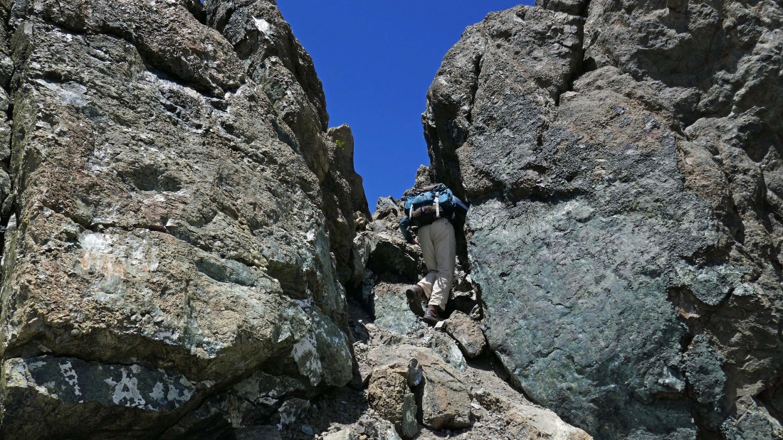
Up and up... kind of feels like we are going up a chimney here.
|
Almost on the summit now.
|
On the summit (7640+) of South Ingalls... looking down on Lake Ingalls... and out to Mt. Stuart... with Jack Ridge on the left.
|
North Ingalls and East Ingalls in the foreground... with Eightmile Mountain and Cashmere Mountain beyond North Ingalls.
|
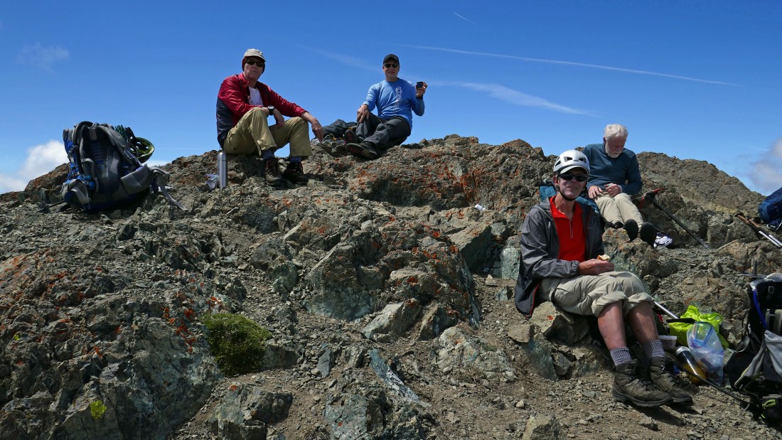
rocman and I met three nwhiker fans on the summit... Fred, Ron and Charlie.
|
Looking south (left), west (center) and NW (right) from the summit of South Ingalls.
|
Looking down 1500 feet to Lake Ann at the bottom of the photo... with Hawkins Mountain in the center of the photo.
|
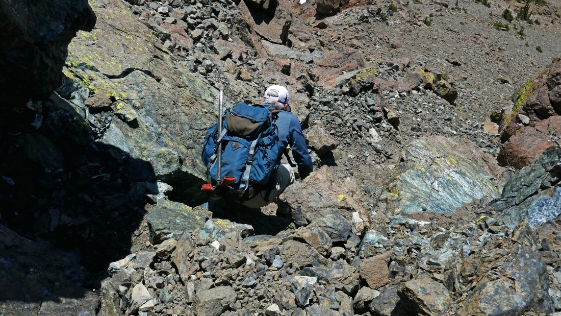
Heading down from the summit... just don't go to the right.
|
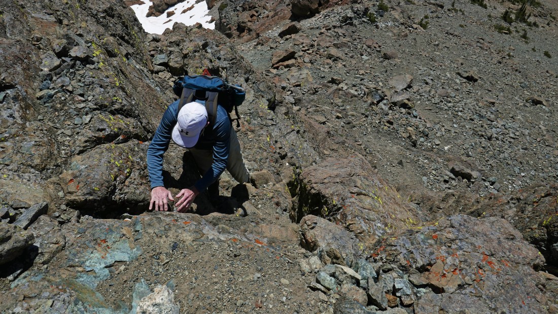
rocman in the chimney... heading down the way we came up.
|
Working our way down the south side of South Ingalls.
|
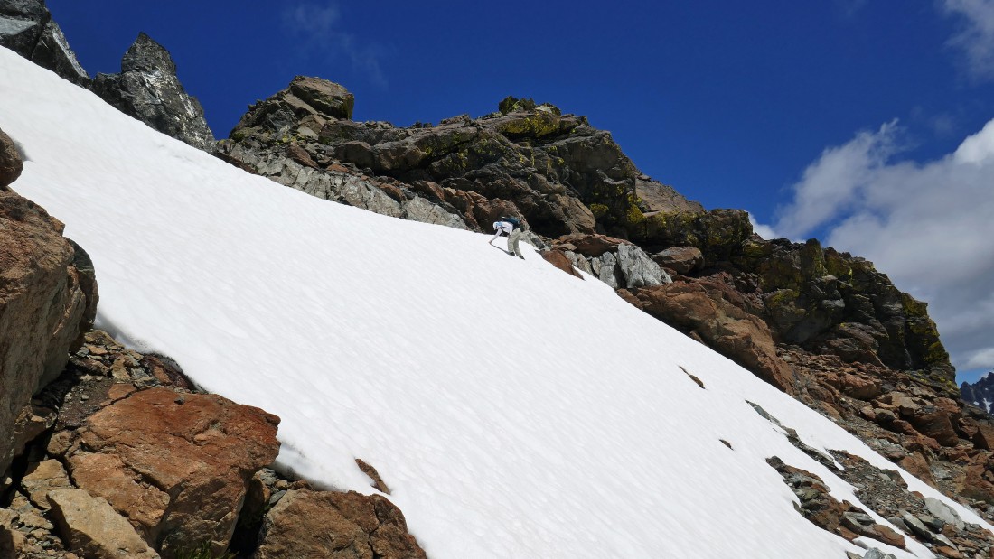
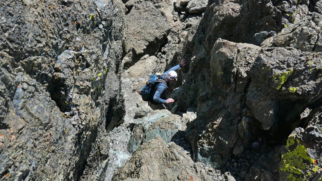
Definitely some Class 3 moves on the south side of South Ingalls.
|
Almost off of the summit block of South Ingalls.
|
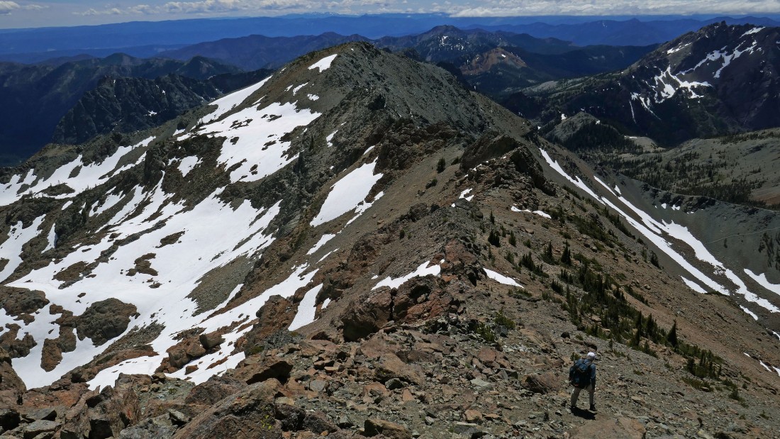
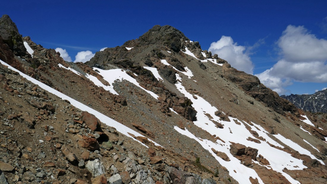
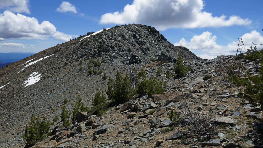
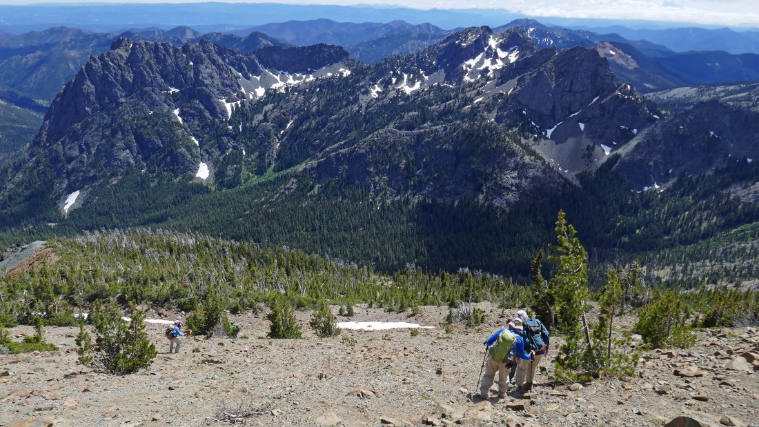
Finally off of the summit block and heading for Fortune Peak out there in the center of the photo.
|
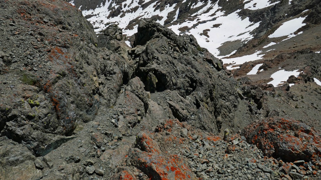
Fortune is in the distance on the left... just above rocman's head... but first we need to get around the rock formation in the center of the photo... going over it was not an option that we considered.
|
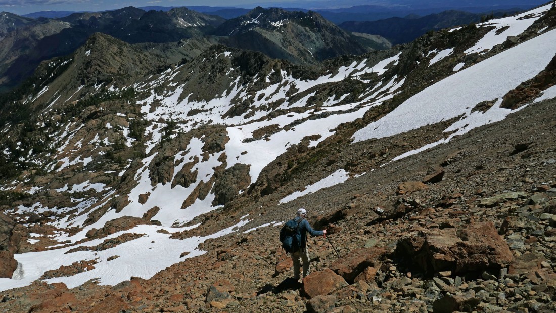
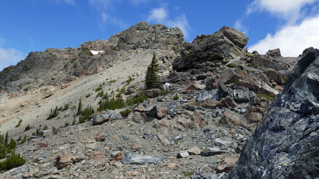
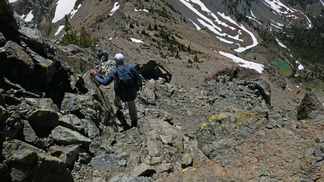
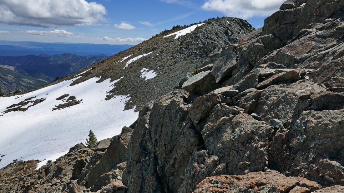
Giving back a little elevation by heading back down from the ridge from where we came up... we will go down until we can work our way around the snowfield in the right foreground.
|
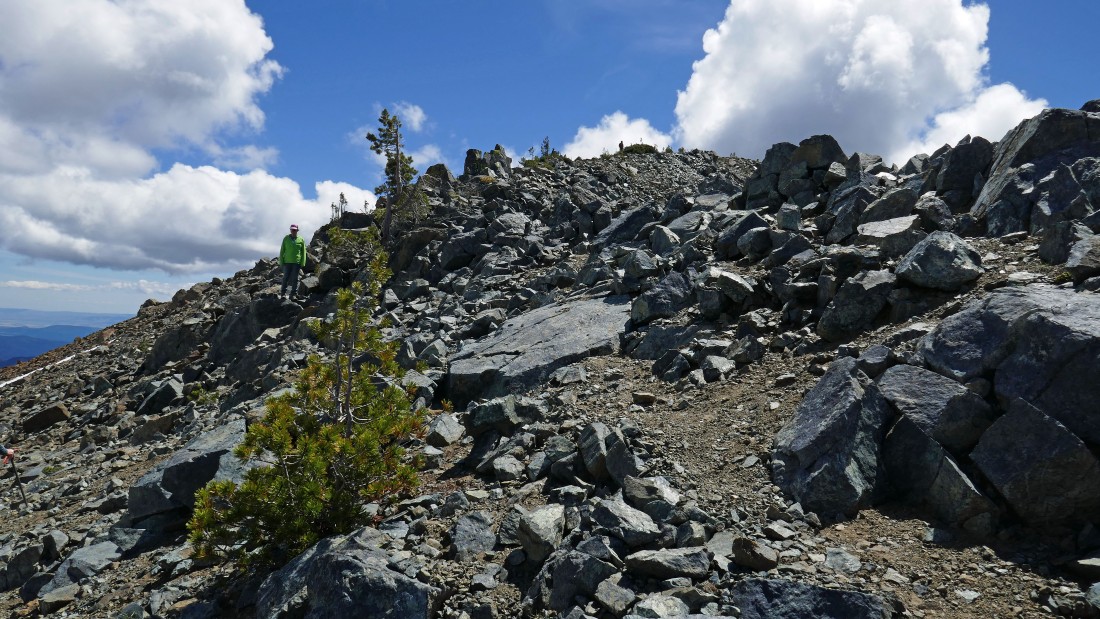
We have worked our way around the snowfield and found a very convenient ramp that keeps us from having to give up too much elevation.
|
rocman soaks up the views from the top of the ramp... 'Not Hinkhouse' Peak and Ingalls Pass on the far left... with the ridge leading from Ingalls Pass to Longs Pass and on over to Teanaway Peak stretching across the center of the photo.
|
Looking back at South Ingalls as we head for Fortune Peak... we dropped down from the low point on the ridge and worked our way around the snowfield in the left foreground.
|
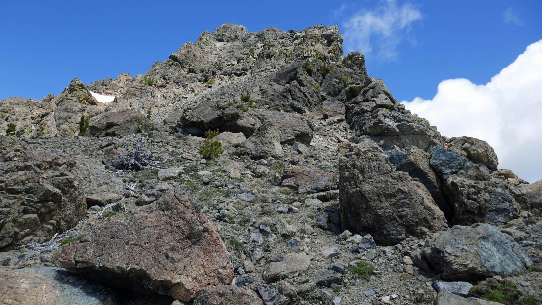
Continuing to regain some of the elevation that we lost getting around the snowfield.
|
Now we can see Fortune Peak... and some of our friends waiting for us to get over there.
|
No more scrambling... just walk over there and stroll up to the summit of Fortune Peak.
|
Snowdog came down from the summit to lead us back up to the top just in case we couldn't find our way.
|
|
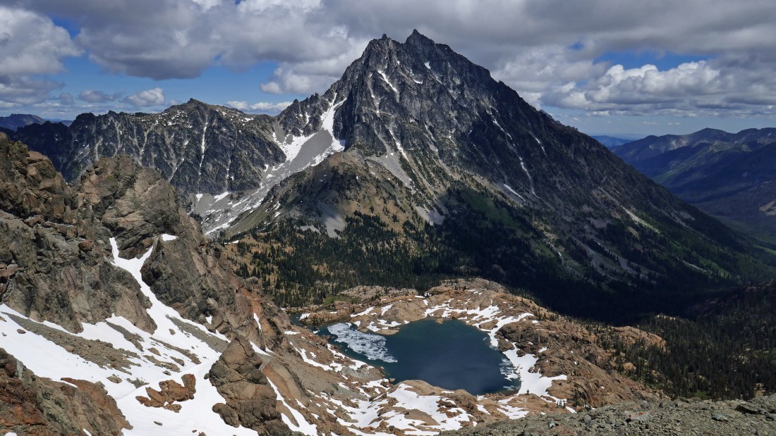
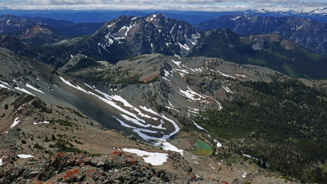
South Ingalls and Mount Stuart from the summit (7382') of Fortune Peak.
|
From Fortune Peak I am looking south to the massive Esmeralda Peaks in the left foreground... with Hawkins Mountain on the right.
|
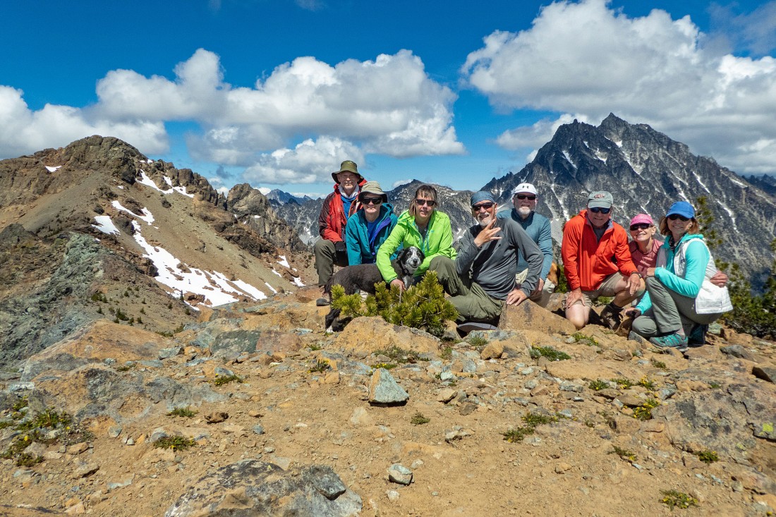
puzzlr's photo of the gang on Fortune Peak... standing between South Ingalls and Mt. Stuart... left-to-right... puzzlr, rodman, Izzy, Snowdog, me, rocman, MiddleE, Sadie's Driver and BarbE.
|
We decided to take a cross country route off of Fortune Peak... to the south and southeast... in search of Esmeralda Basin Trail #1394.
|
On the way down from the summit of Fortune Peak we are looking down at the tiny Lake Camp Fire Girls.
|
Steep and loose terrain as we work our way down off of Fortune Peak... Esmeralda Peaks in the distance.
|
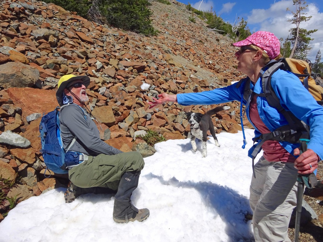
I'm showing Izzy how to catch a snowball.
|
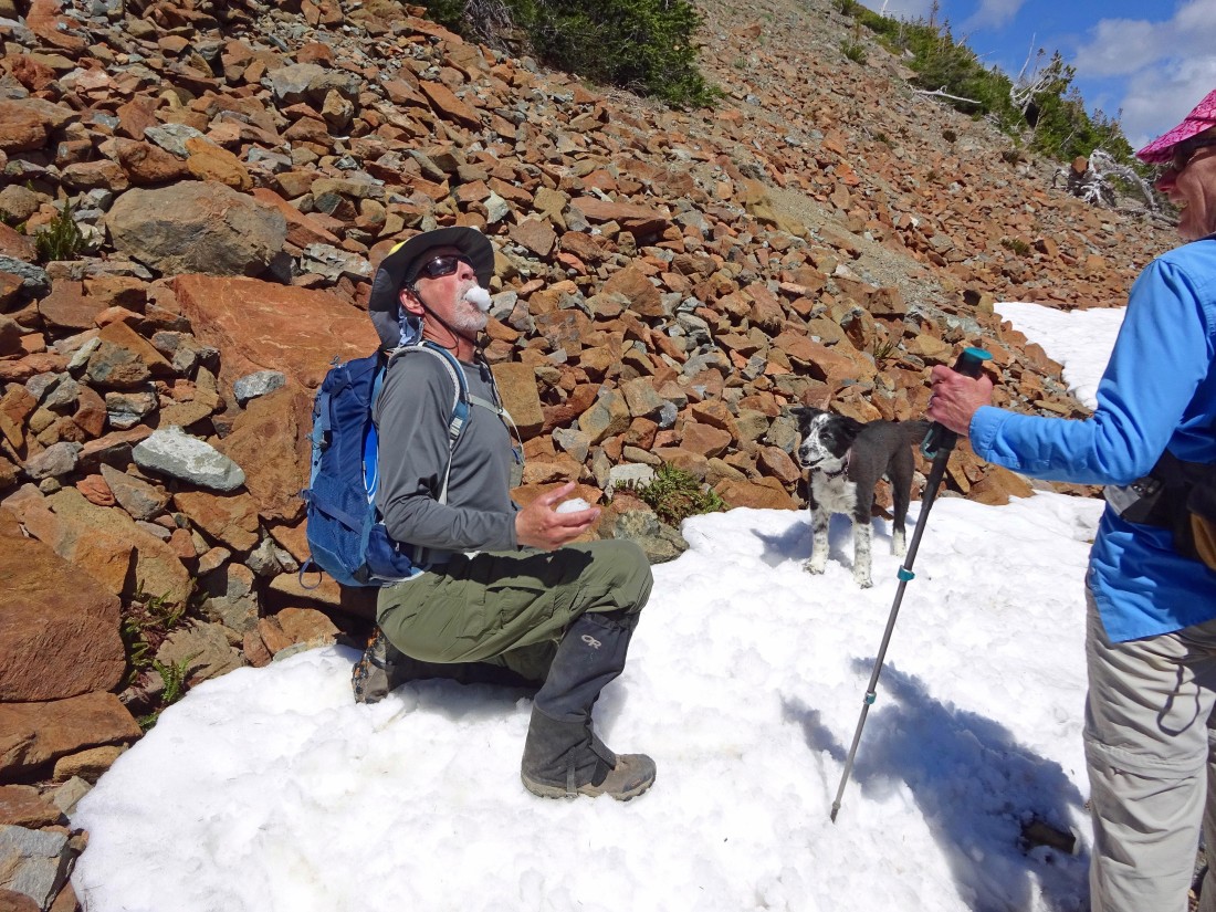
It only took me 8 attempts to actually catch a snowball... Izzy is not impressed because she is an expert at doing this.
|
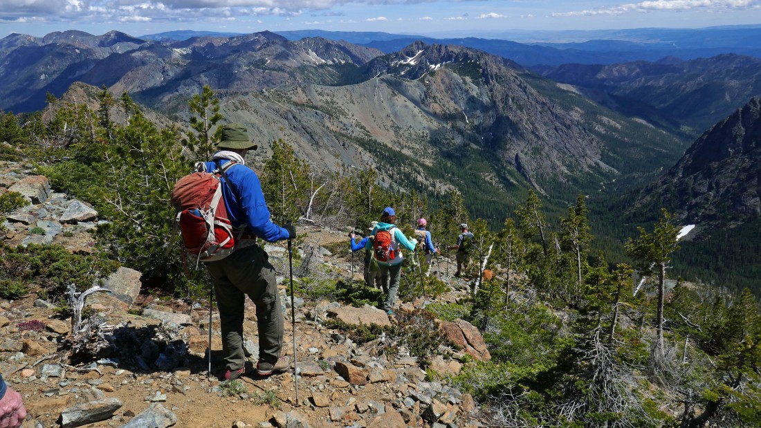
Continuing down the south side of Fortune Peak... we will have given up 2500 feet of elevation by the time we get down to the trail.
|
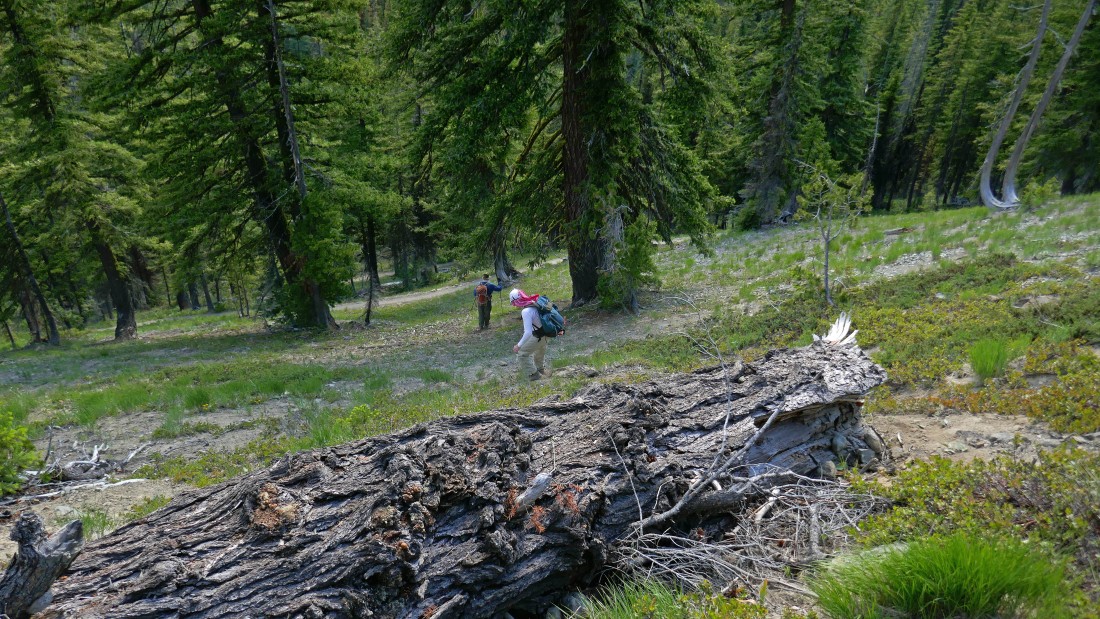
Finally back down to Esmeralda Basin Trail #1394... a one mile hike will get us back to the car... the total trip was 8 miles, gaining 3926 feet of elevation.
|
