Silver Peak - 7.5.2019
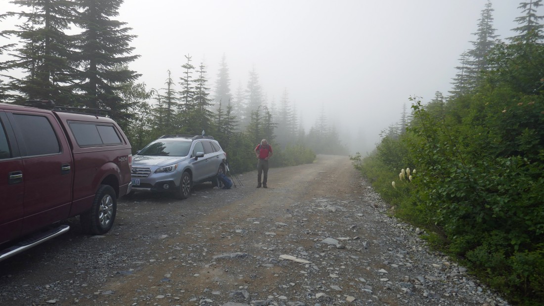
Take Exit 54 off of I-90 and get on Hyak Drive East which turns into FS-9070... then follow 9070 into Olallie Meadow and park (~3820') where the road crosses the Pacific Crest Trail... then start hiking south on the PCT.
|
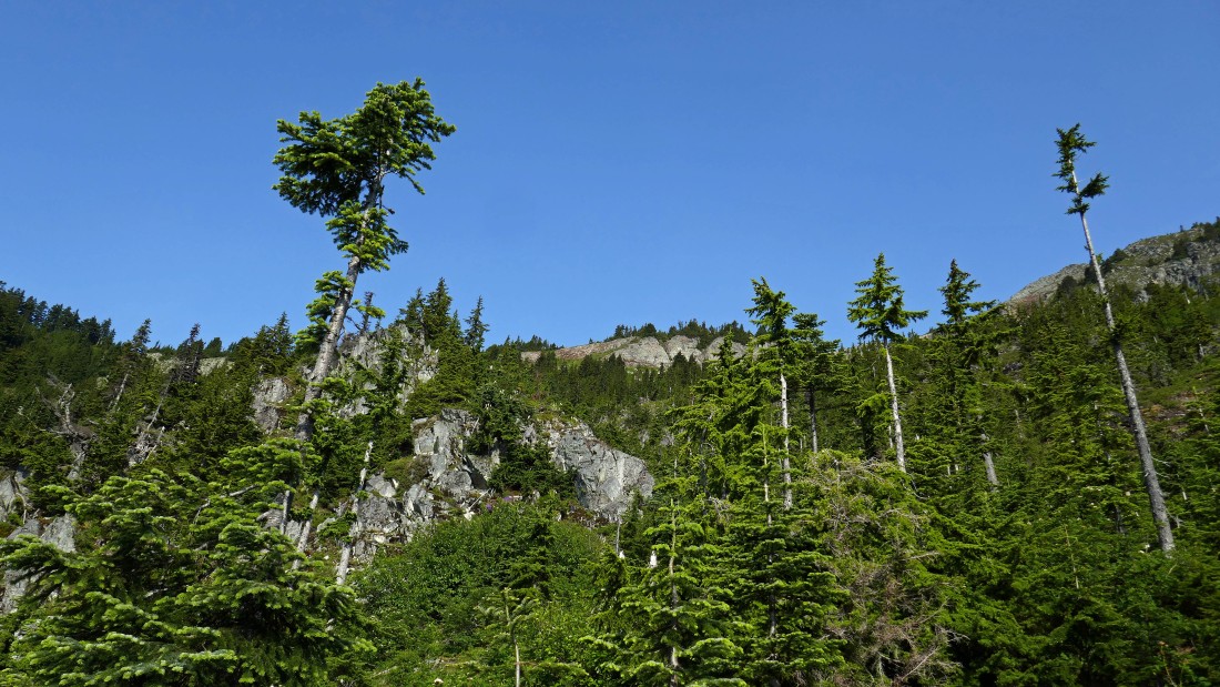
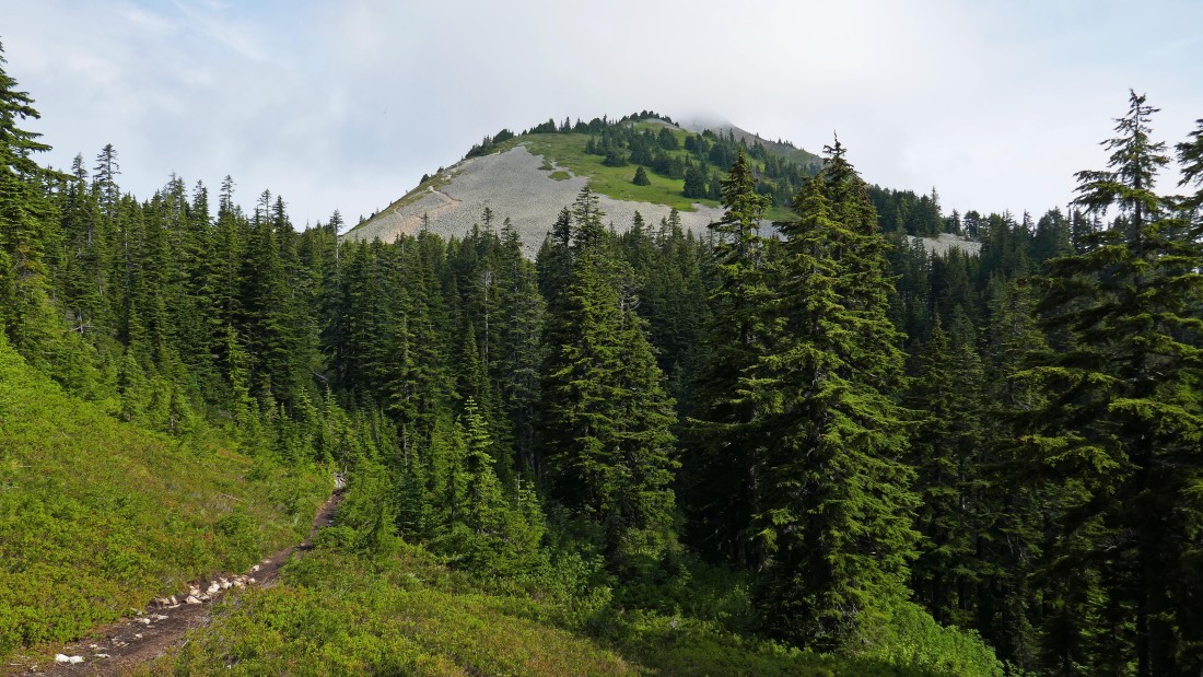
After hiking a mile or so we came out of the forest for a brief look up at Silver Peak on the far right... but we will re-enter the forest and stay on the PCT for approximately one more mile before leaving the trail.
|
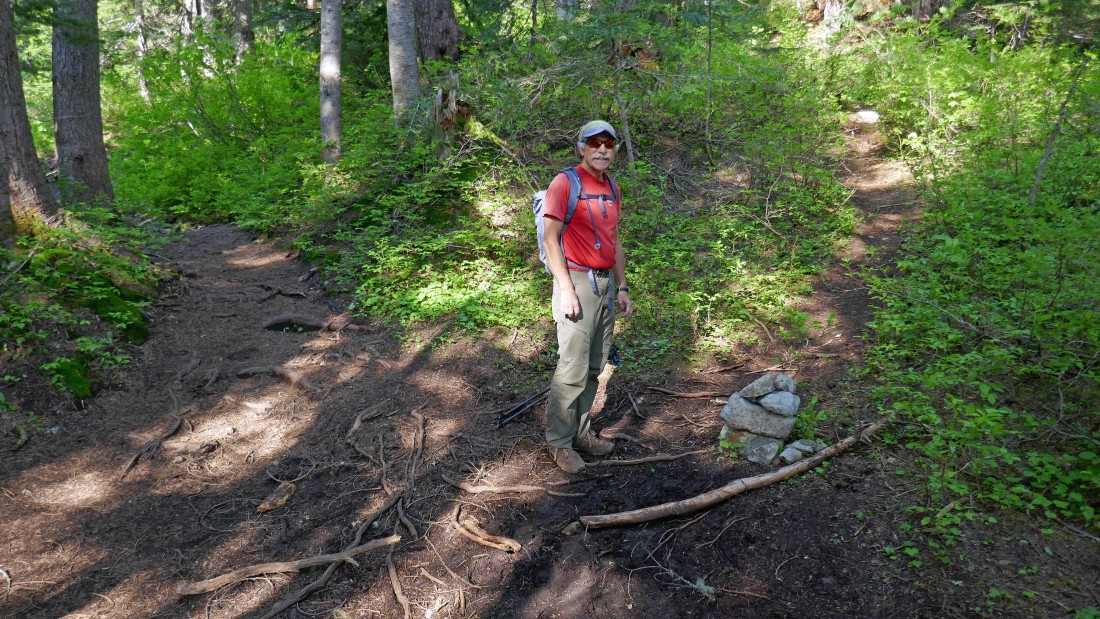
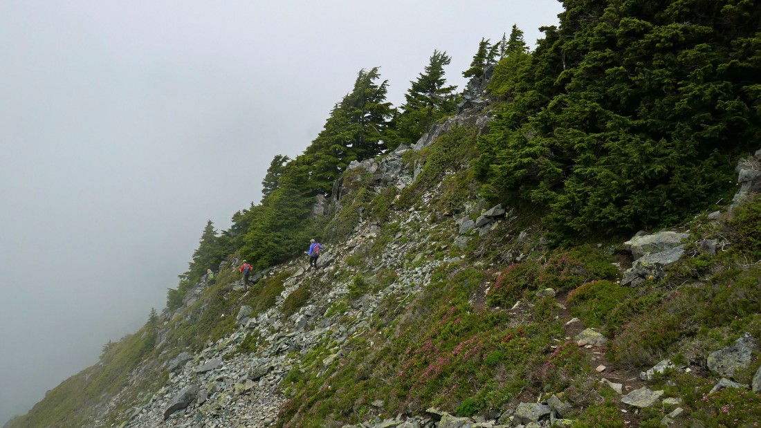
After hiking a total of 1.8 miles we will leave the PCT at an obvious cairn (~4300') and head uphill on an obvious path... some refer to this path as the 'Silver Peak Trail', but it is not signed.
|
Gaining elevation on the Silver Peak Trail... and our first look at the peak.
|
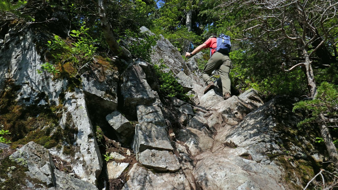
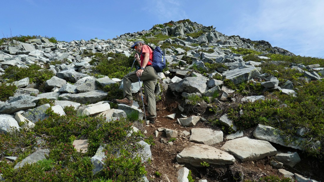
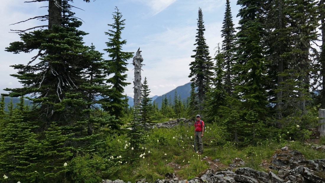
iraman on the Silver Peak Trail.
|
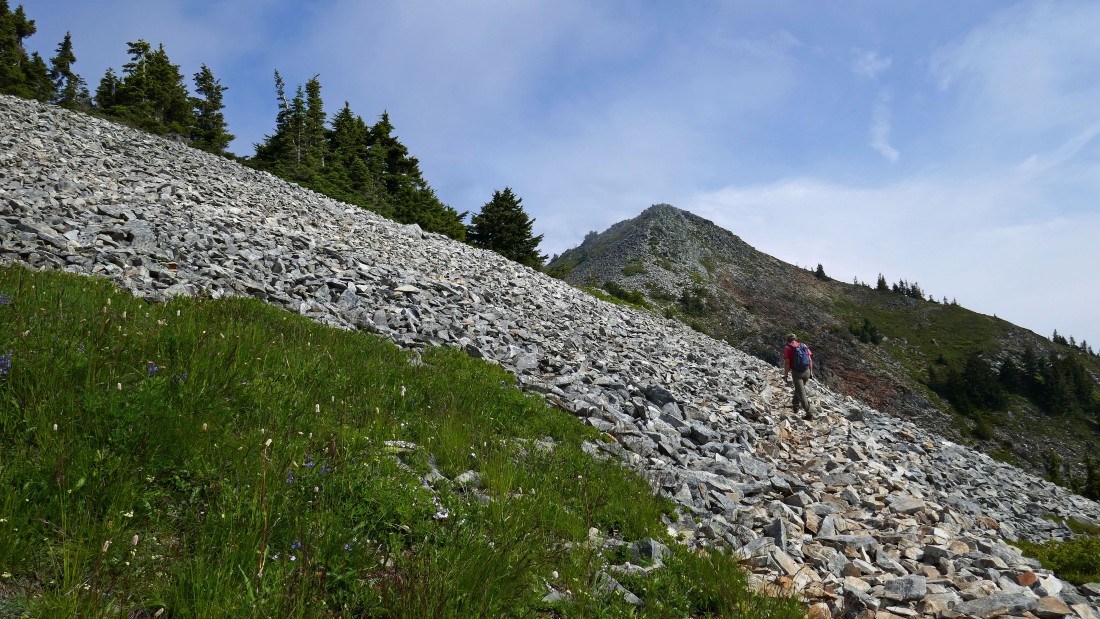
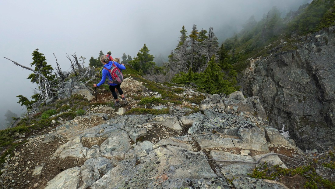
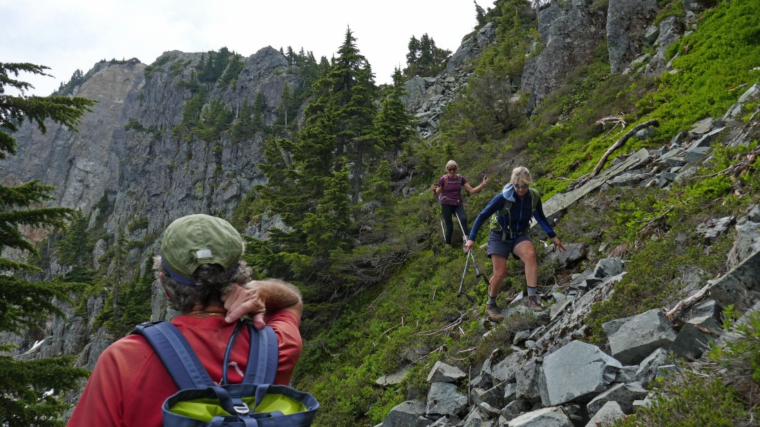
The summit is currently in the clouds... but the route is obvious.
|
On our way up to the Silver Peak summit... looking back at the twin summits of Tinkham Peak on the left and Abiel Peak on the far right... FYI... Abiel Tinkham explored the Snoqualmie Pass area in the 1850's.
|
iraman heading for the Silver Peak summit.
|
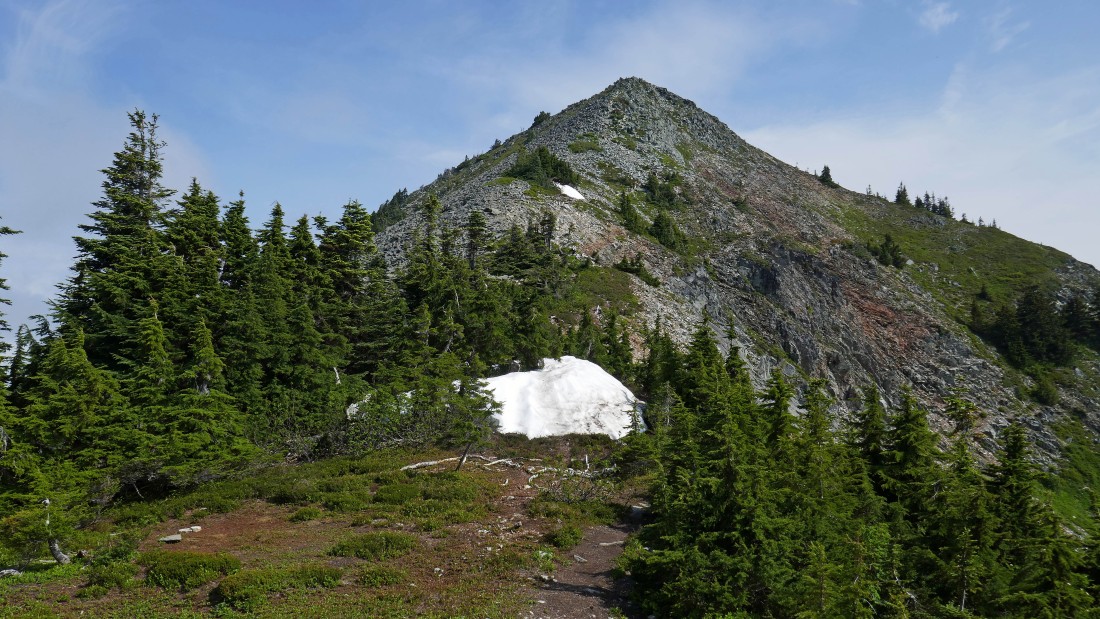
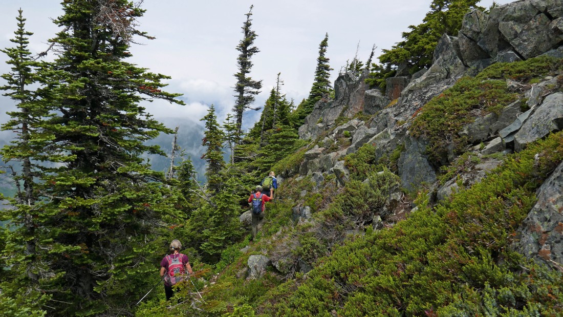
Continuing to gain elevation on the Silver Peak Trail.
|
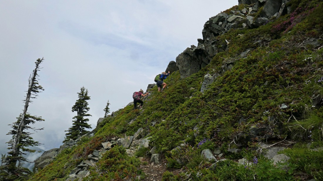
Almost on the summit.
|
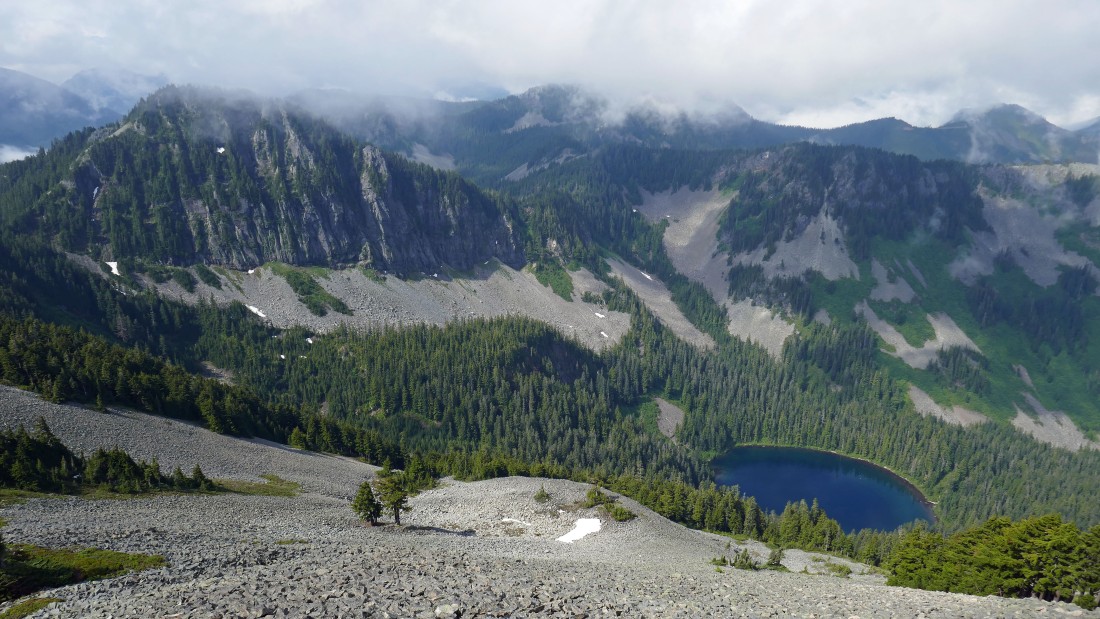
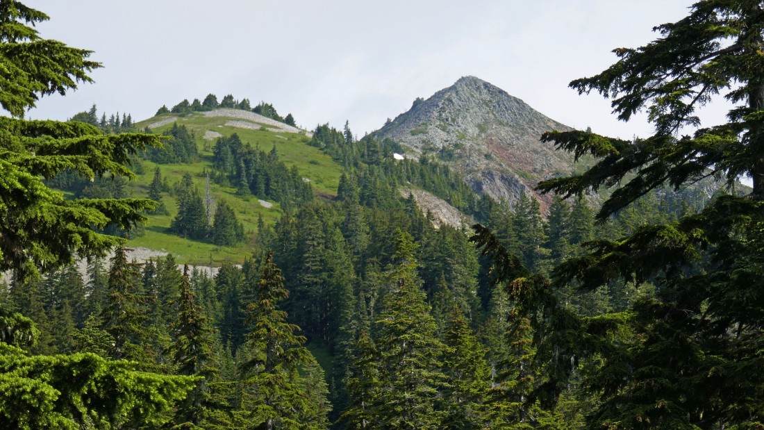
Looking down on Annette Lake as we near the summit of Silver Peak... Abiel Peak on the far left.
|
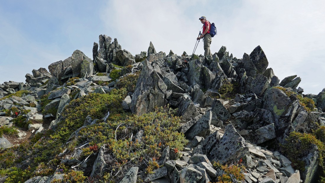
iraman is surrounded by shards on the south end of the Silver Peak summit area.
|
iraman knows everyone... here saying hi to one of his fellow Boeing workers... Tusk O'Granite and Granite Mountain are across the valley on the right.
|
Looking down on Olallie Meadow in the center of the photo... Mount Catherine is the treed pyramid in the right foreground.
|
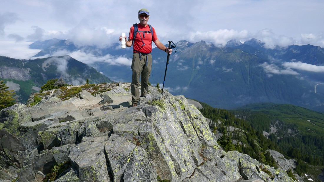
After hiking a total of 3 miles we have reached the summit (5605') of Silver Peak... and iraman has found the register.
|
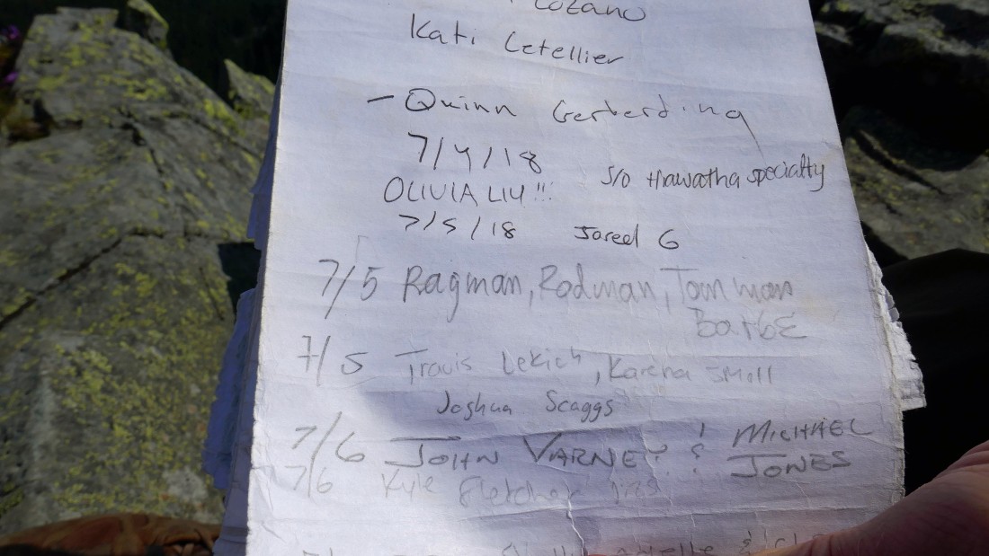
Exactly one year ago I stood right here with rodman, tomman and BarbE... a ton of people visit this summit.
|
Humpback Mountain in the left foreground... Granite Mountain in the center... with Olallie Meadow below on the right.
|
Looking south from the Silver summit... with the south end of the summit area in the immediate foreground... and the twin summits of Tinkham Peak just beyond... Keechelus Lake on the far left... with Abiel Peak on the far right.
|
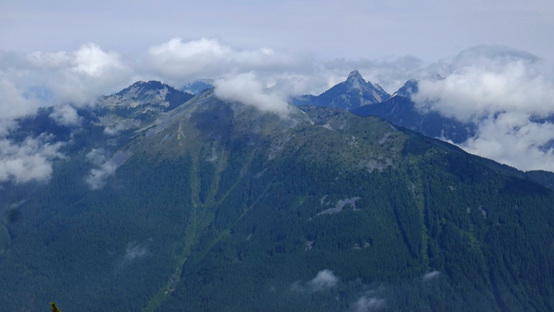
Tusk O'Granite on the left... with a cloud on the Granite Mountain summit in the center... and finally, a clean look at Kaleetan Peak in the right center of the photo.
|
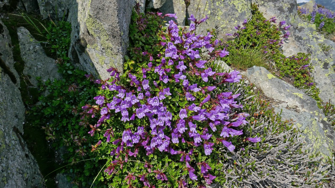
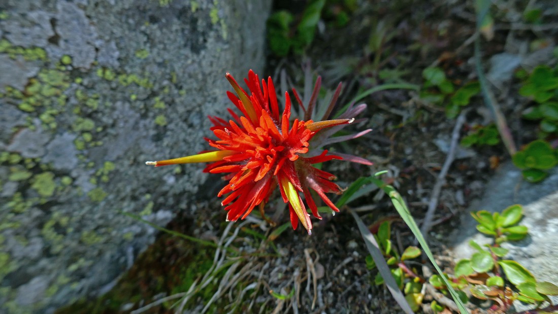
Penstemon Pocahontas on the summit of Silver Peak.
|
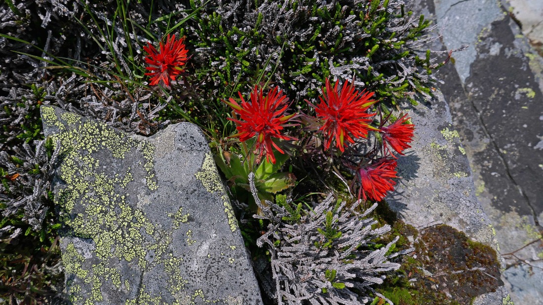
Indian Paintbrush on the summit of Silver Peak.
|
Anothr Indian Paintbrush on Silver Peak.
|
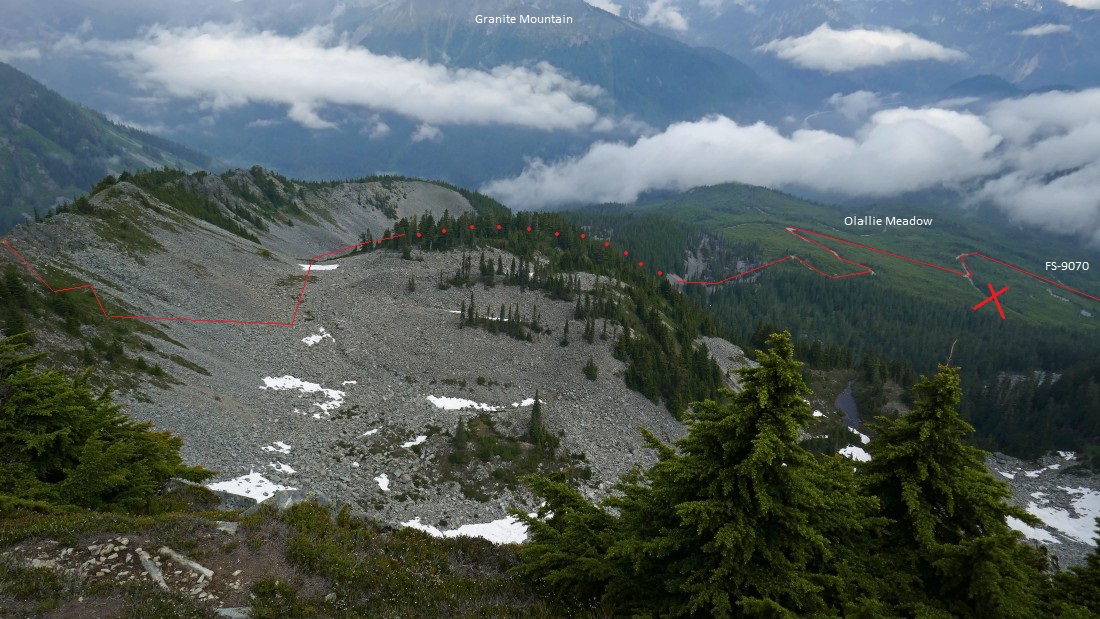
Our general route down from the Silver Peak summit to Olallie Meadow... we will continue along the west side of Silver's north ridge for a quarter mile or so... then cross over to the east side of the ridge into the boulder field in the photo... then more or less follow it all the way down to Olallie Meadow... then follow the maze of roads back to our car... pay attention to not take the section of road marked with a red 'X' in the photo... we took it a couple years ago and had to deal with a quarter mile bushwhack that was not fun.
|
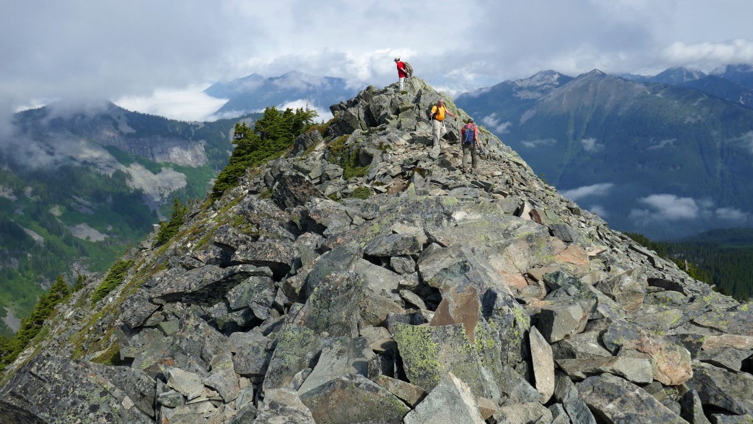
We met Dianna and Nancy on the summit and offered to show them how to make a loop trip out of the hike... they quickly accepted our offer... and down we went.
|
Following an obvious path along the west side of Silver's north ridge.
|
Following an obvious path along the west side of Silver's north ridge.
|
Heading up to cross over onto the east side of Silver's north ridge.
|
iraman looks back at the Silver Peak summit as we are now continuing down on the east side of Silver's north ridge.
|
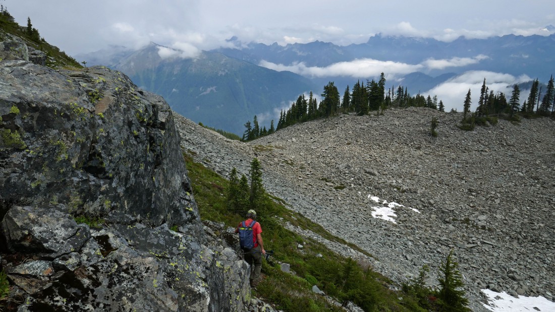
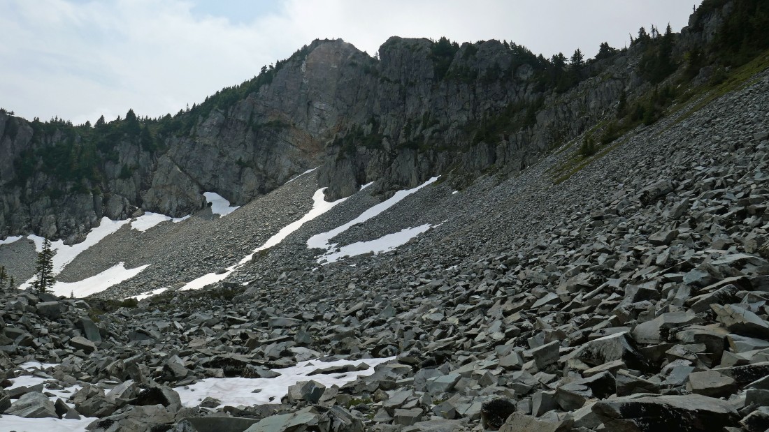
iraman leads the way as we get ready to deal with the huge boulder field on the north side of Silver Peak... a year ago this boulder field was filled with snow... making for a much easier trip.
|
Looking back at Silver Peak as we continue down toward Olallie Meadow.
|
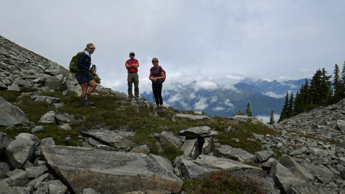
Nancy, iraman and Dianna... done with the worst section of the boulders... and everyone is still smiling!
|
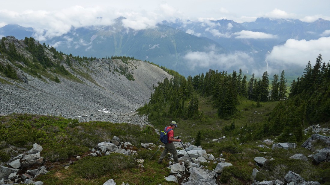
Continuing down toward Olallie Meadow.
|
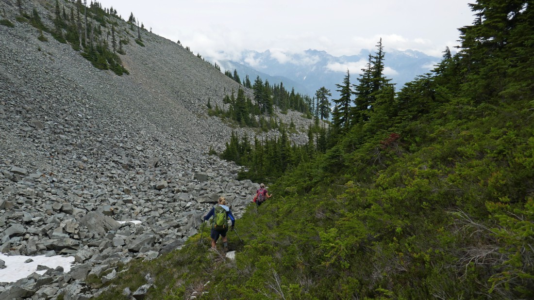
There are still a lot of boulders, but we are on a path of sorts that will allow us to be on more ground than rock.
|
After hiking a total of 4.2 miles we are a stone's throw from reaching the road in Olallie Meadow.
|
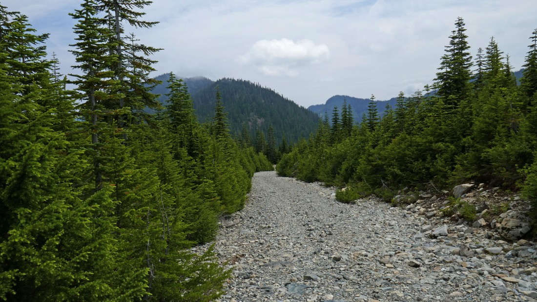
Back on FS-9070... a one mile road walk will get us back to our car... the loop trip was 5.2 miles, gaining 2287 feet of elevation.
|
