Snoqualmie Mountain (east summit and main summit) - 7.8.2019
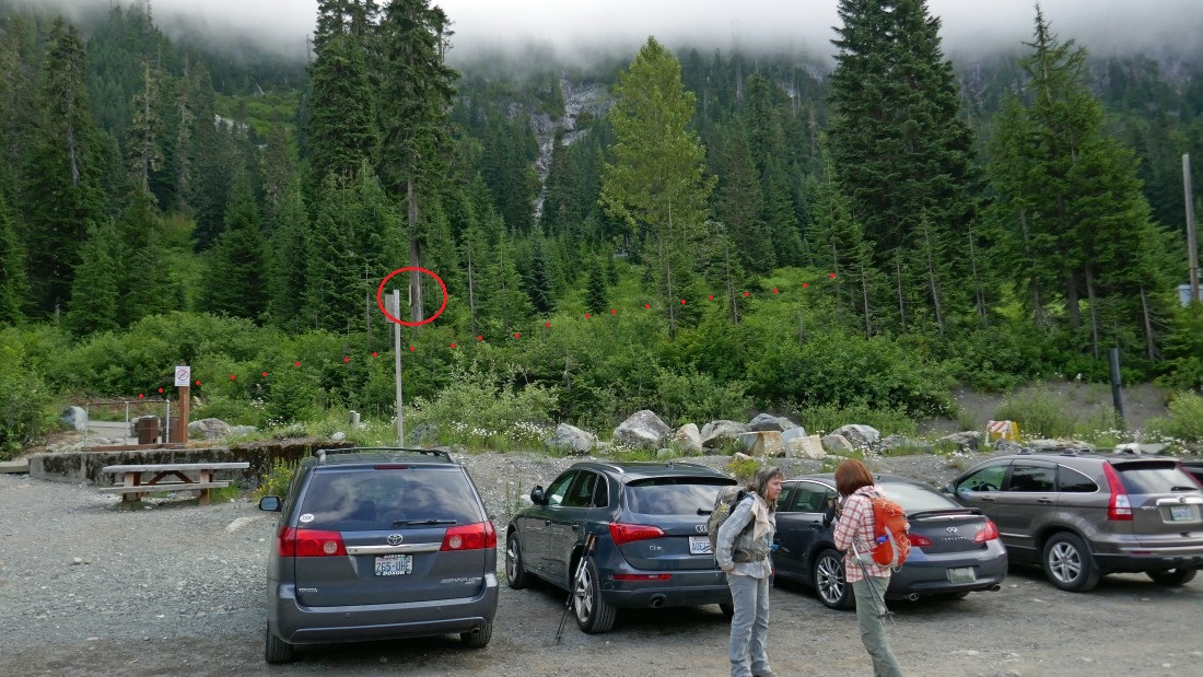
Park (~3100') at the Alpental Ski Area... note the picnic table on the left... note the sign circled in red in the photo... follow the red dots which marks the unsigned path that gets you started up to the Guye/Snoqualmie divide.
|
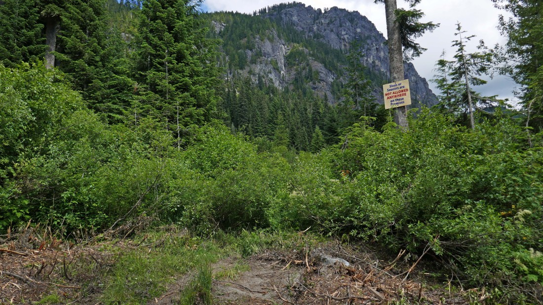
The above sign is the sign circled in red in the previous photo... there really is an unsigned path that begins in this brush... the sign says 'Sleds or Saucers are not allowed anywhere on these premises'.
|
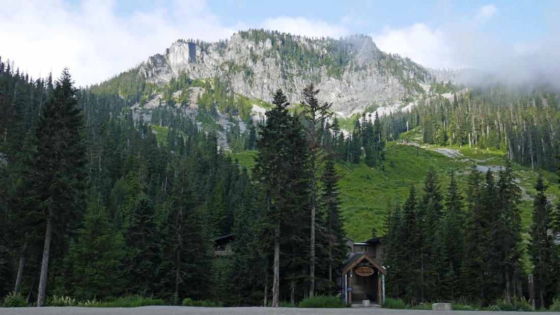
Looking over at the Alpental Ski area and Denny Mountain from the parking lot.
|
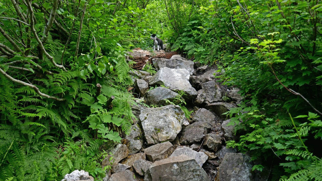
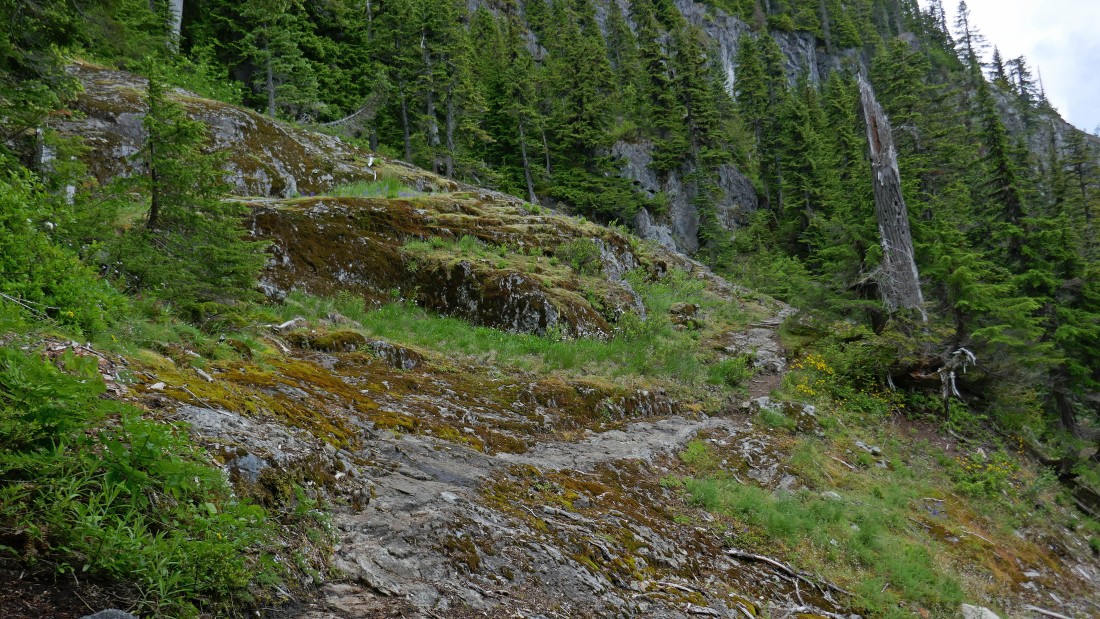
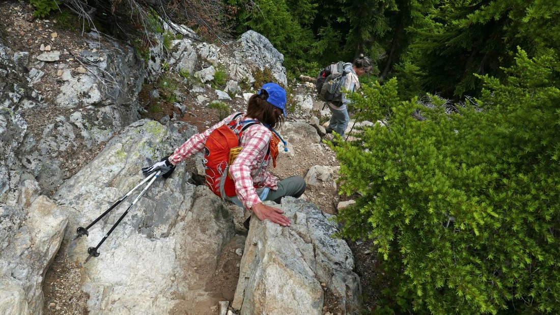
Izzy leads us up the very steep path.
|
Quickly gaining elevation on the path leading up to the Guye/Snoqualmie divide... looking down on some of the Alpental condos... and across the valley to Denny Mountain and the Alpental Ski area.
|
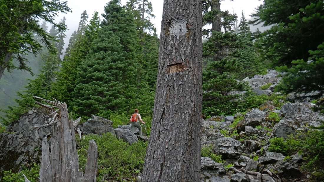
At ~4150 feet we have reached the boulder field where a person can continue straight up (northeast) for Snoqualmie Mountain or go off to the right (southeast) toward Guye Peak... there used to be a sign indicating this on this tree.
|
At ~4400 feet we are crossing a dry stream that originates up in the valley between Snoqualmie Mountain and Cave Ridge.
|
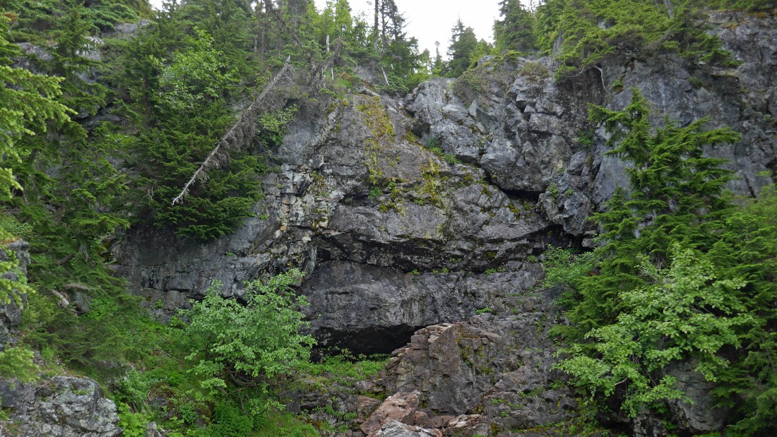
A dry waterfall area just above where we crossed the stream.
|
At ~4580 feet we took this faint path back over toward the dry stream... this is the easiest route up to the valley between Snoqualmie Mountain and Cave Ridge.
|
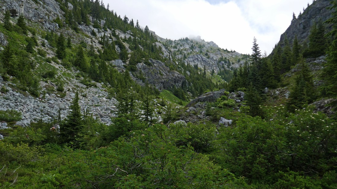
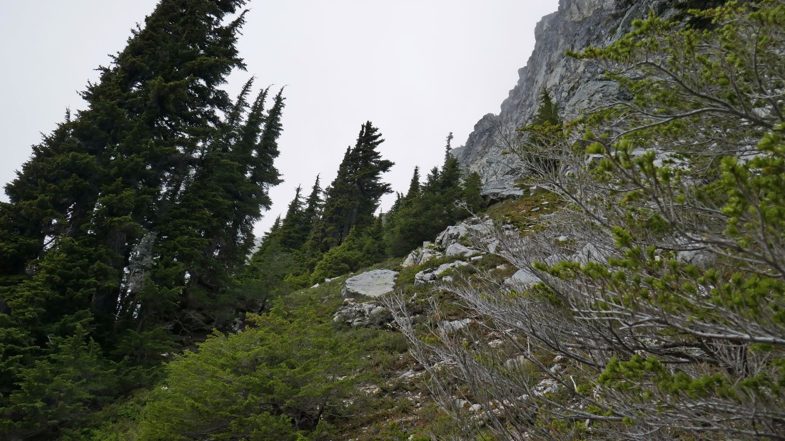
At ~4700 feet we have entered the valley between Snoqualmie Mountain on the left and Cave Ridge on the right.
|
Continuing up the valley between Snoqualmie Mountain and Cave Ridge... we will continue up toward the end of the valley and get up on the ridge that will take us up to Point 6160+.
|
Looking back down at our route up through the valley between Cave Ridge on the left and the SE side of Snoqualmie Mountain on the right.
|
Gaining elevation on the ridge that will take us up to Point 6160+... looking down at the green colored route we used to get here... we will be using the red route to get down after tagging both of the Snoqualmie summits.
|
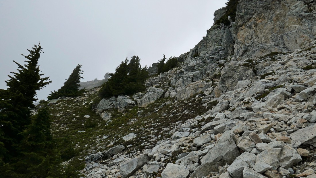
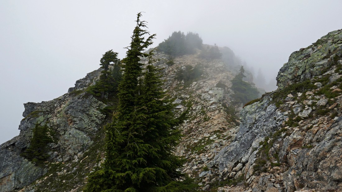
Hiking into the clouds on the ridge leading to Point 6160+.
|
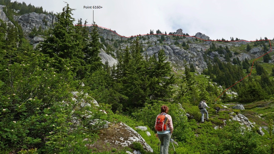
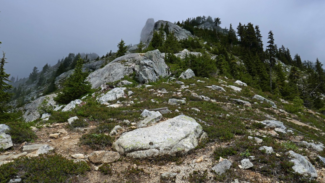
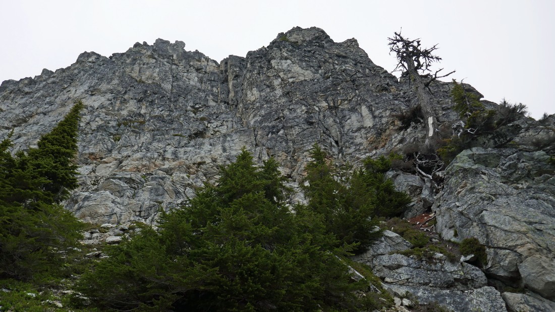
Still gaining elevation on our way to Point 6160+... Cave Ridge in the foreground... with the top of Guye Peak just beyond... there is sunshine on the ski areas at Snoqualmie Pass.
|
|
Our general route to Point 6160+ and the two summits of Snoqualmie Mountain.
|

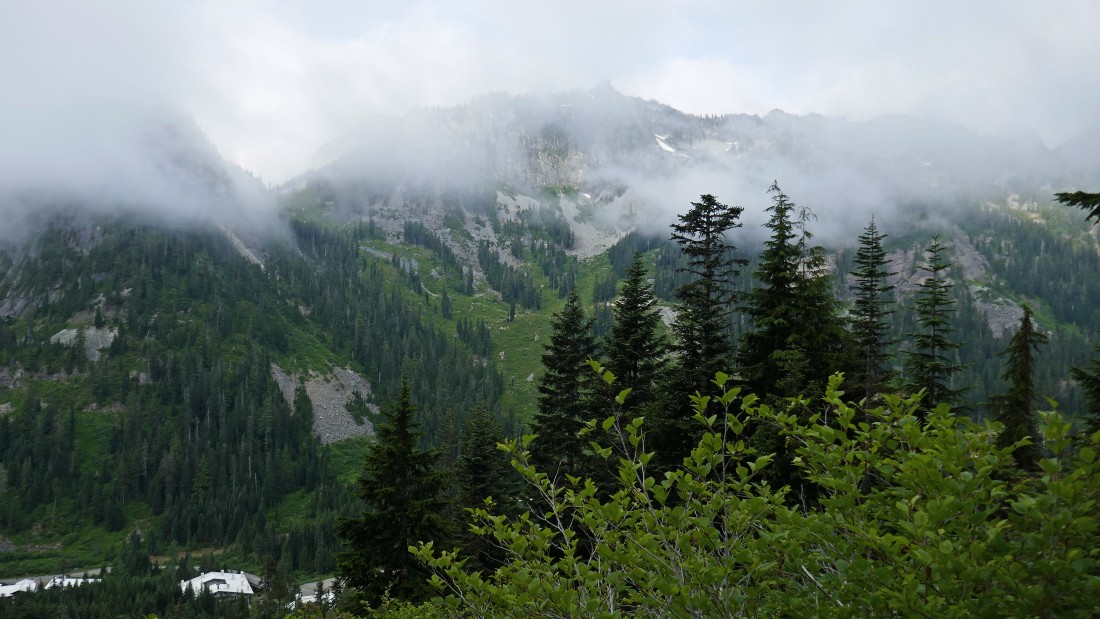
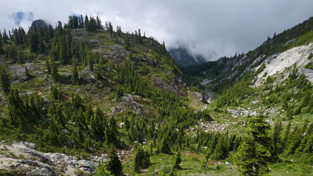
Every now and then the clouds gave us a good look at our targets.
|
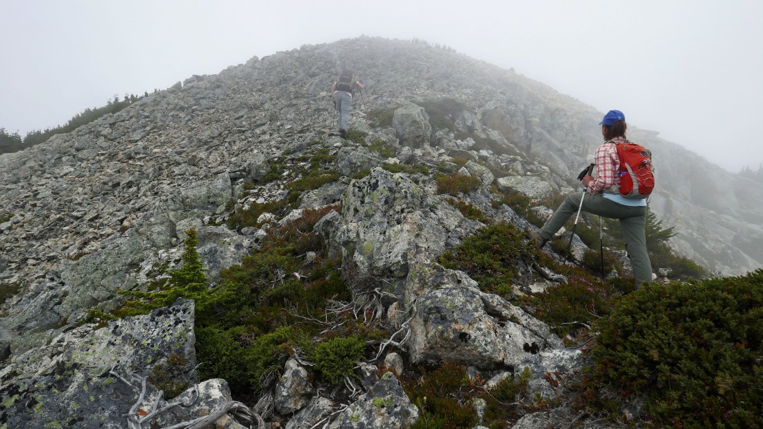
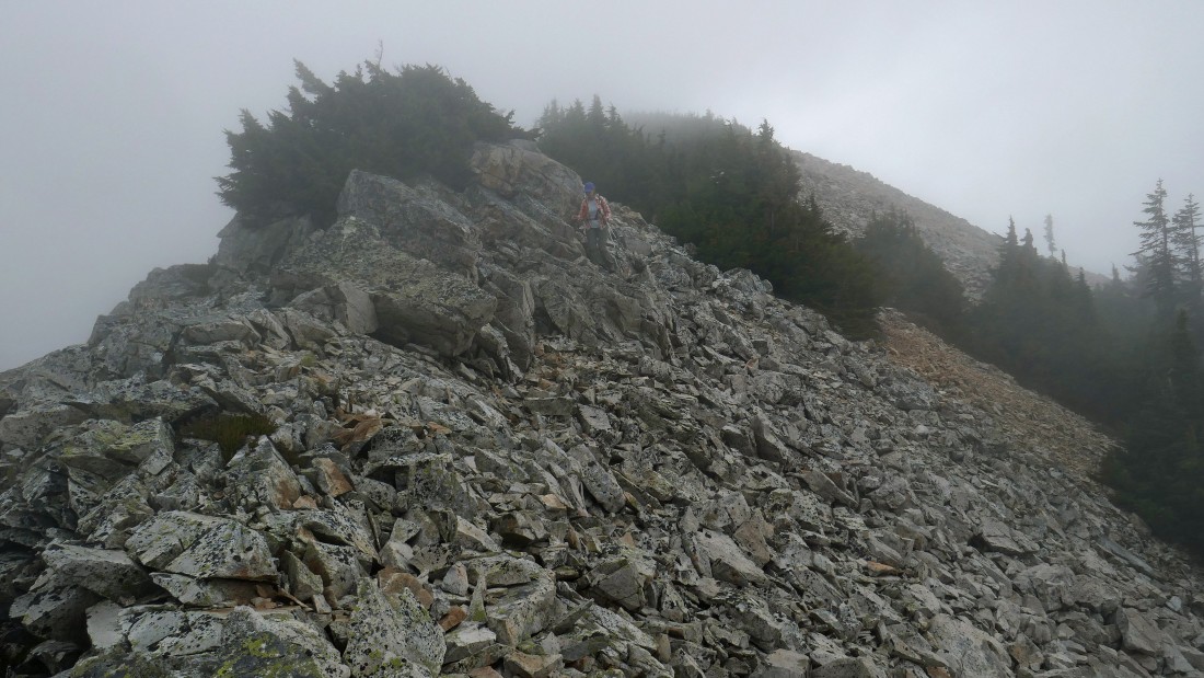
Snowdog leads us up toward the top of Point 6160+.
|
BarbE is following me along the ridge between Point 6160+ and the east summit of Snoqualmie Mountain.
|
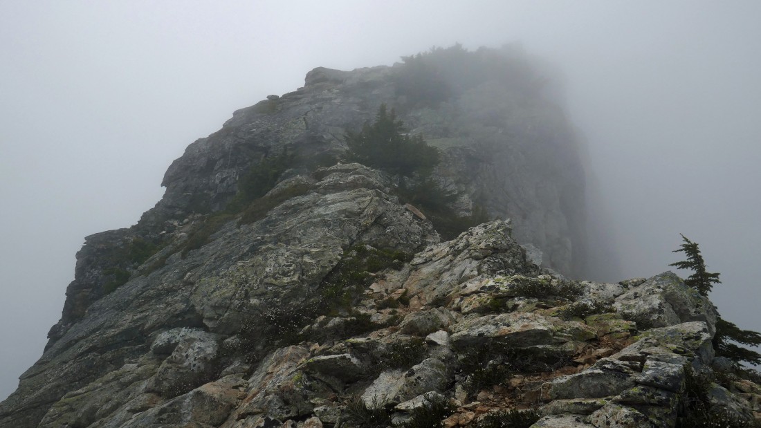
Time to head up the summit block of the east summit.
|
Working our way up the east summit... we can see the main summit area out there on the left.
|
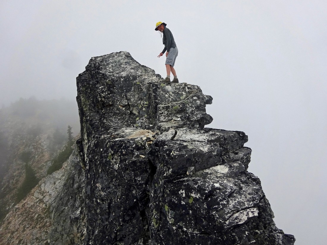
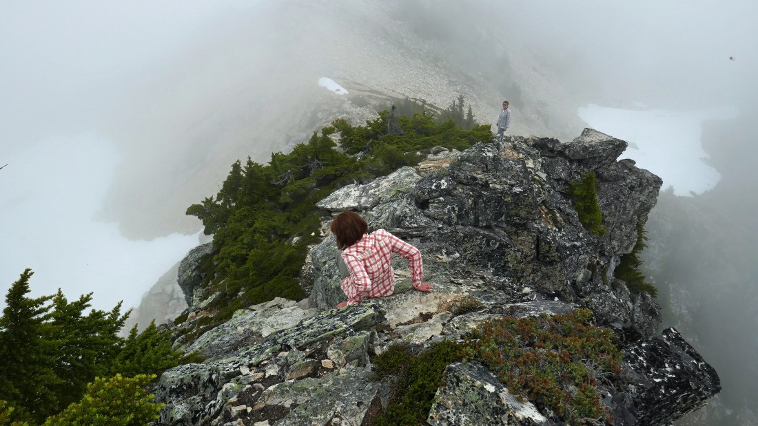
BarbE got his photo of me nearing the top of the airy east summit.
|
Snowdog nears the airy east summit.
|

Another summit photo from BarbE.
|
Time to get off of the east summit... we will give up a little elevation and hug the area below the cliffy east summit as we work our way over to the main summit.
|
Underneath the cliffy east summit and heading up toward the main summit.
|
Looking up at the east summit as we work our way up and over to the main summit.
|
Continuing underneath the east summit and heading up toward the main summit.
|
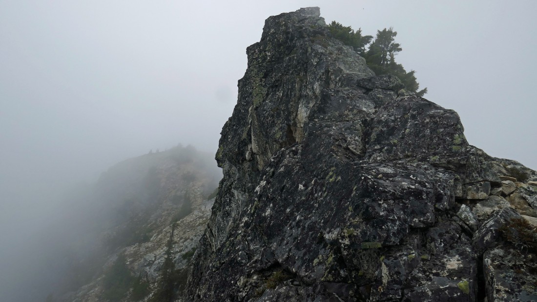
I can see the col that separates the main summit area from the east summit.
|
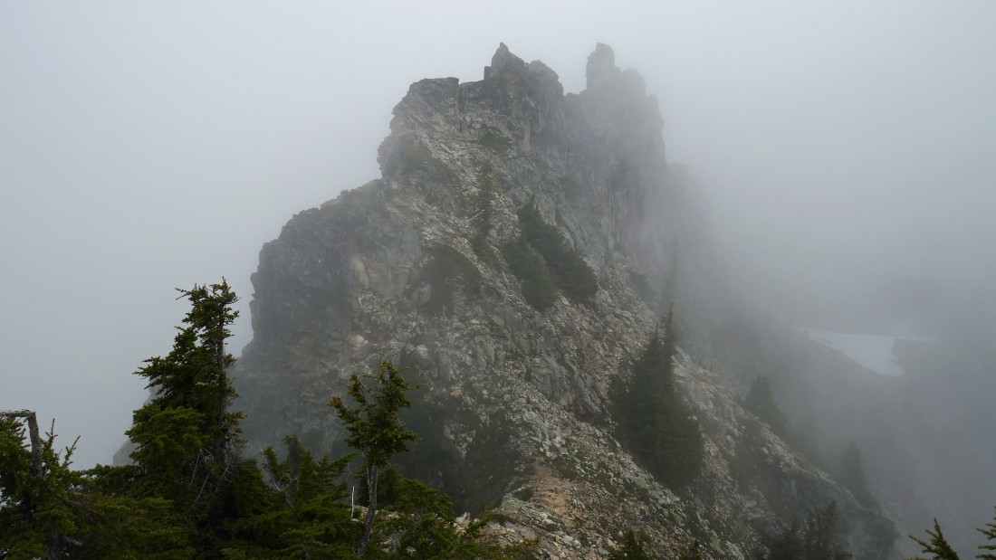
I'm above the col that separates the two summits... here looking back at the craggy east summit (the second spire).
|

The main summit (6278') of Snoqualmie Mountain is only a two minute walk away.
|
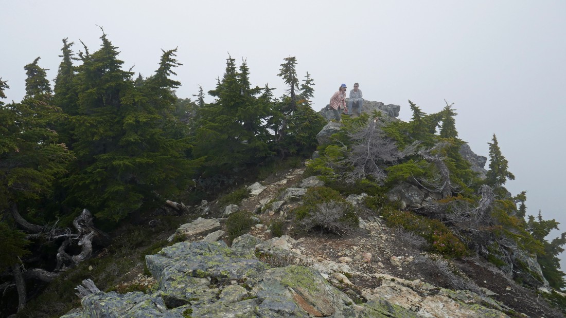
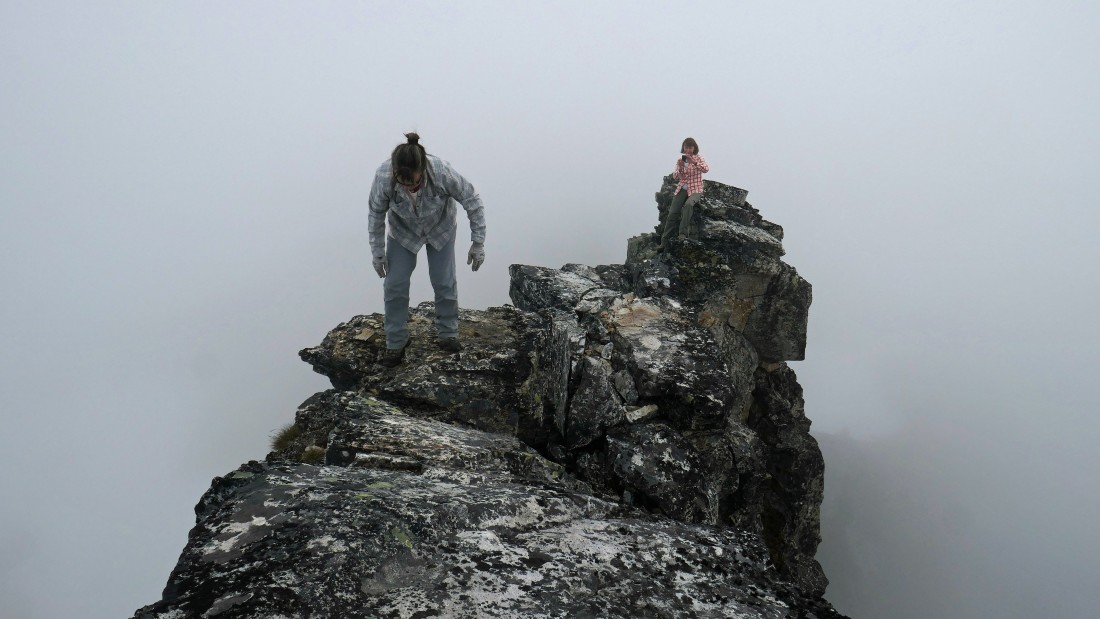
BarbE and Snowdog on the main summit of Snoqualmie Mountain.
|
Time to head down from the main summit... using the most popular route to reach the main summit.
|
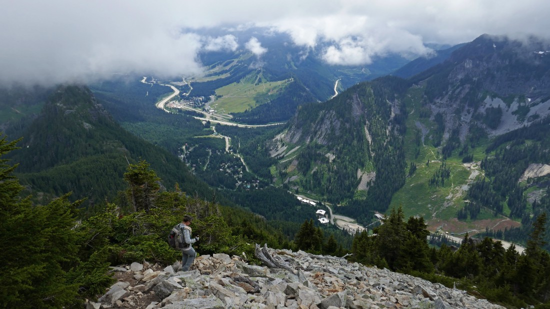
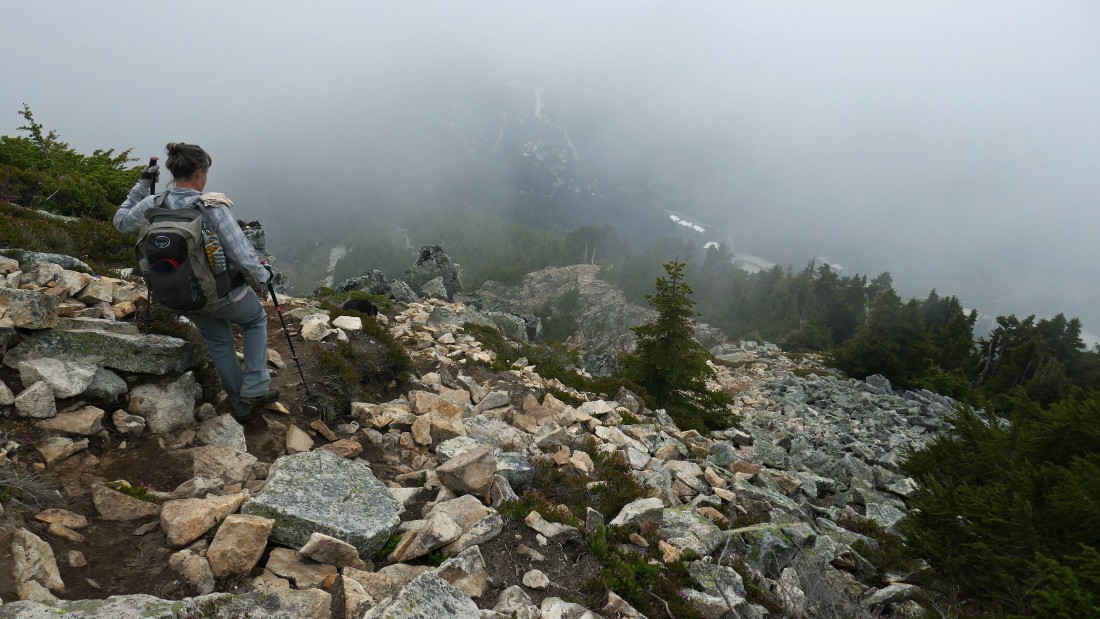
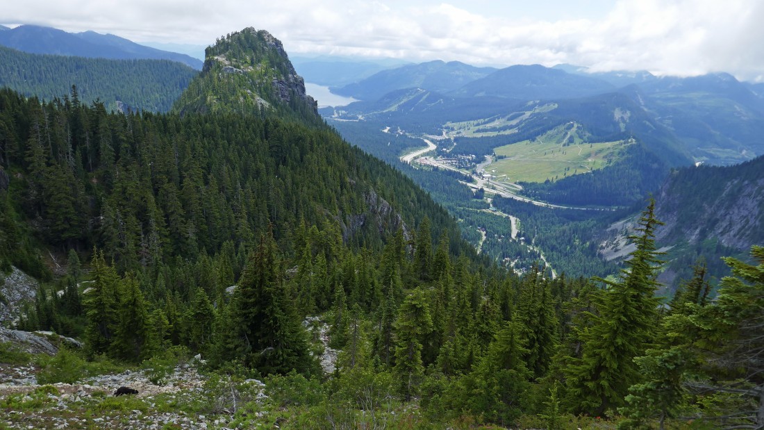
Continuing down... Alpental is below... with a sunny Snoqualmie Pass beyond... Guye Peak is in the left foreground.
|
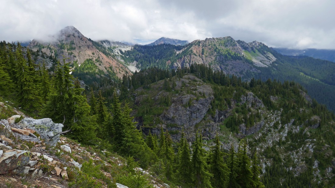
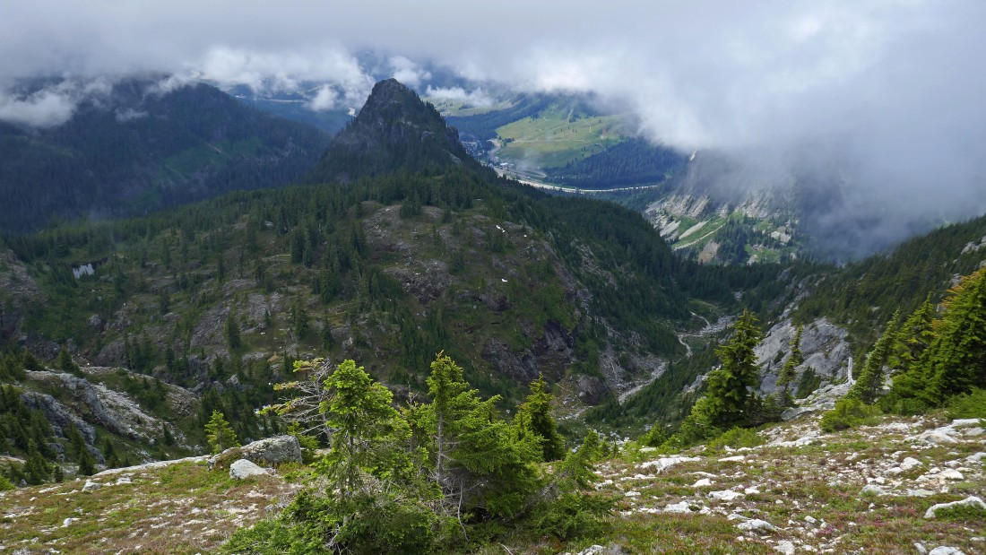
Continuing down... looking across Cave Ridge in the foreground to Red Mountain on the left and Kendall Peak in the right-center of the photo... with Alta Mountain in the distance between them.
|
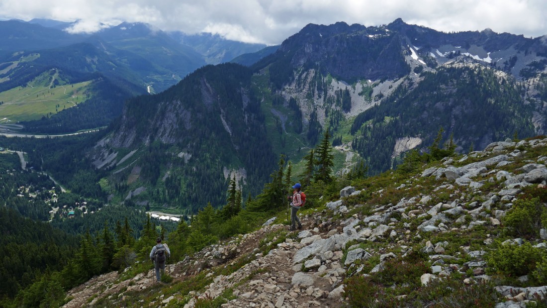
Continuing down... Denny Mountain in the right foreground... and Snoqualmie Pass on the far left.
|
Low enough now to see Keechelus Lake in the distance beyond Guye Peak in the foreground.
|
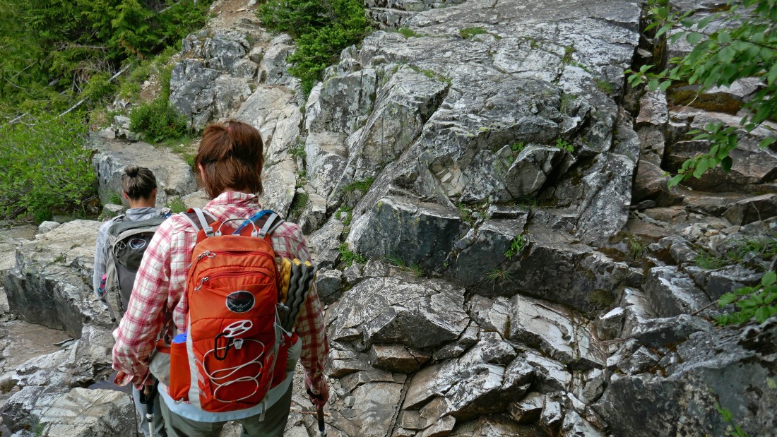
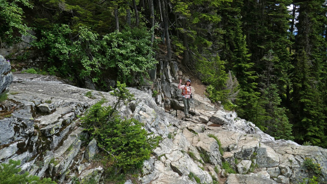
Continuing down on steep terrain.
|
Back at the dry stream crossing... still 1300 feet of elevation loss is needed to get us back down to our car... and our knees are talking to us!
|
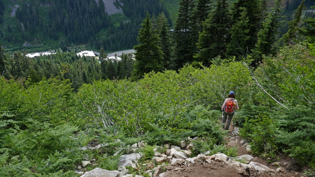
Almost down to our car... our trip was 5.4 miles roundtrip, gaining 3500 feet of elevation.
|
