Mount Scott - 7.13.2019
|
The north entrance to Crater Lake National Park is a 90 minute drive from our house in La Pine, Oregon... at 8:00am this was our first view of the lake... we had just begun the east rim drive which would eventually take us over to the trailhead for Mount Scott on the far left just beyond the crater rim.
|
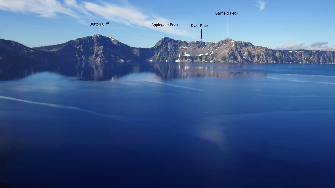
A closer look at some of the fun looking high points along the crater rim.
|
We continued driving around the east rim... stopping here and looking over at where we got our first view of the lake.
|
Another stop along the east rim as we try to get over to the trailhead for Mount Scott... there are pullouts along the road at what seems like every 3 minutes.
|
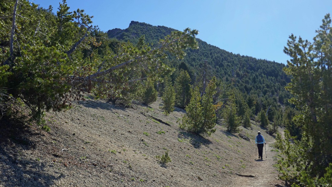
Finally we temporarily put our cameras away and started hiking at the Mount Scott Trailhead (~7680 feet)... the summit lookout is on the high point.
|
We are looking at the north side of the mountain here... the trail will take us around the west side of the mountain and work its way up the south side of the mountain until it crosses back over to the north side of the mountain near the summit.
|
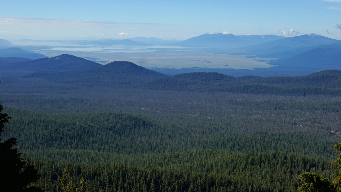
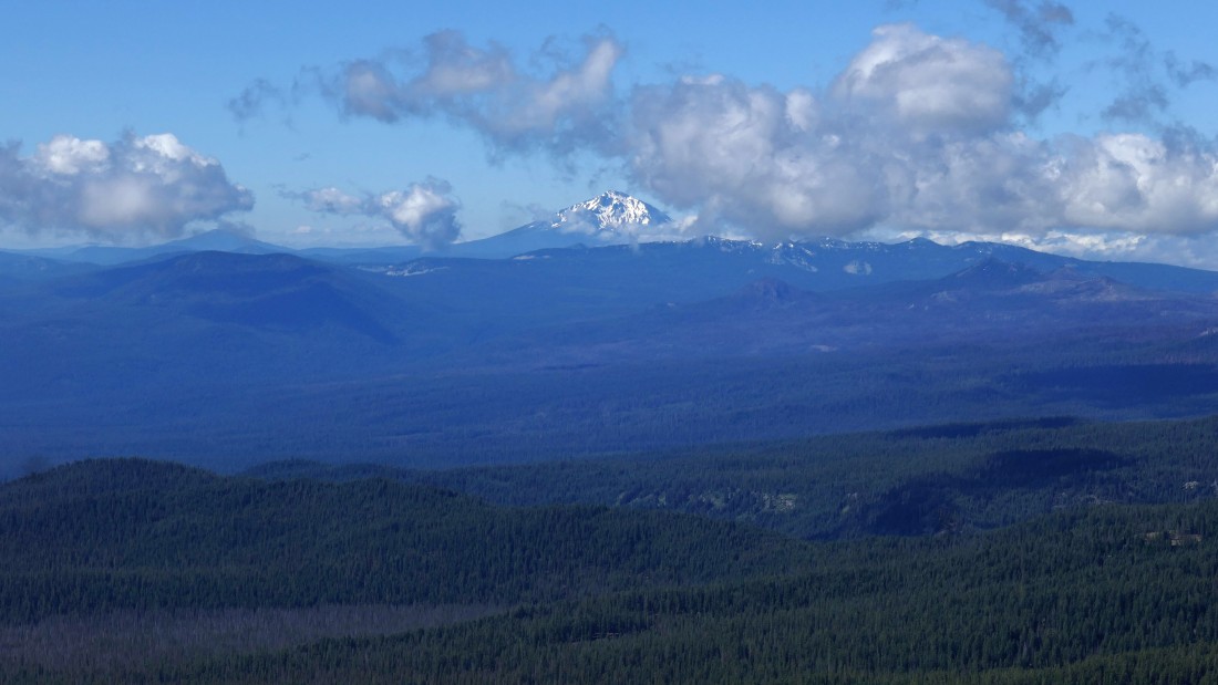
Gaining elevation on the Mount Scott Trail and looking south to Agency Lake and the two Klamath Lakes... with the top part of Mt. Shasta visible beyond the hills in the right-center of the photo.
|
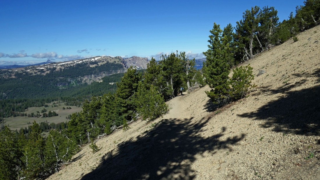
On the south side of Mount Scott and gaining elevation on a nicely graded trail.
|
Gaining elevation and looking back to the west... part of the lake is now visible... Union Peak is the pyramid in the distance on the far left.
|
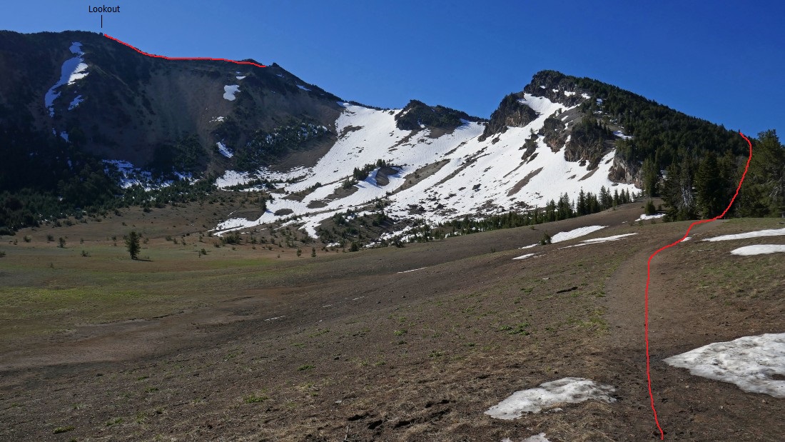
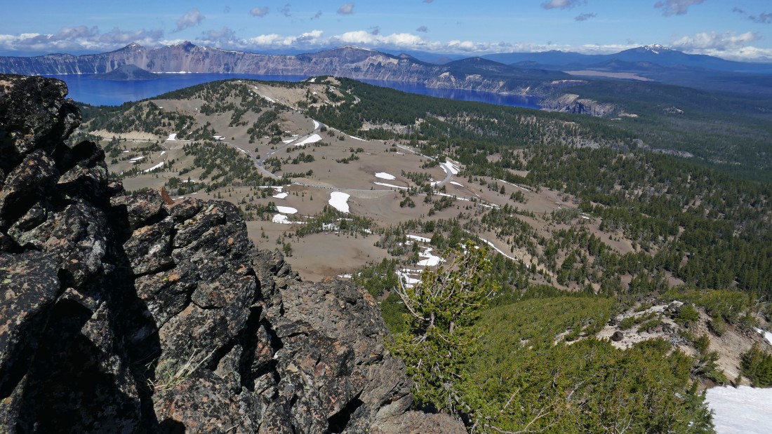
The first switchback has brought us back to the west ridge (~8570 feet) of Mount Scott... where we got our first look in a long time at the lookout out there on the far left... now 3 more switchbacks along the south side of the mountain will get us up to the gap directly above where we are now standing.
|
|
This photo was also taken at the end of the first switchback... looking across Point 8418 in the foreground to the lake.
|
Looking south to Mt. McLoughlin from the end of the first switchback in the trail.
|
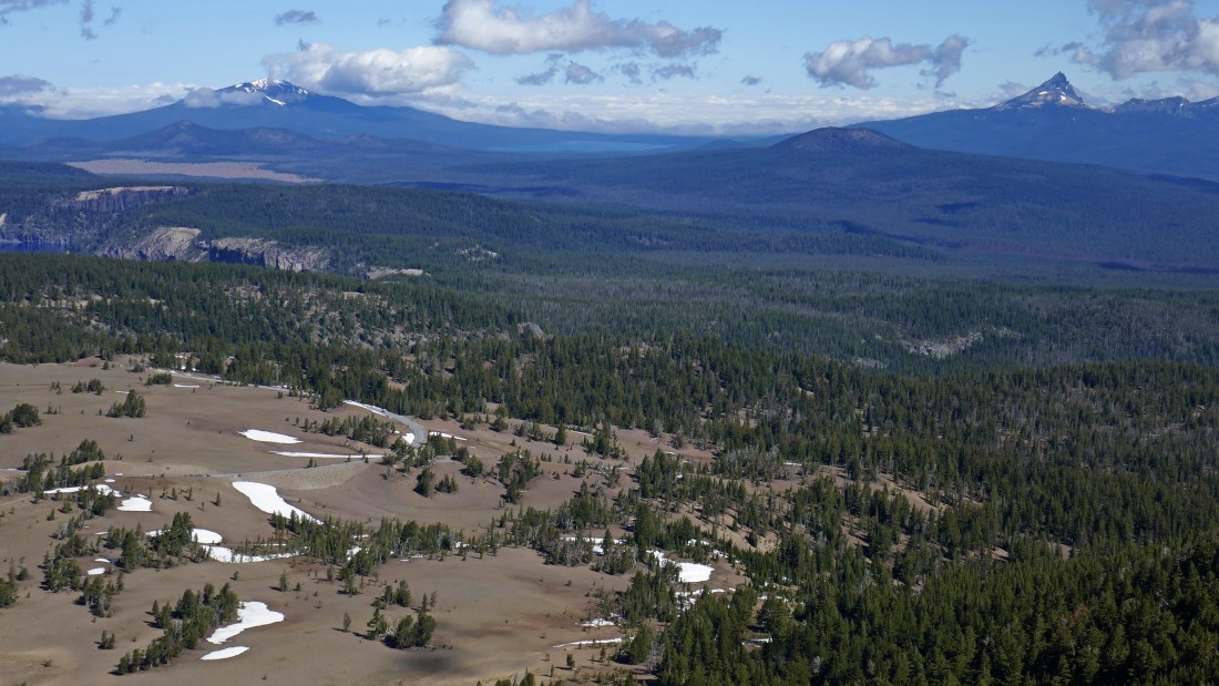
Looking north to Diamond Lake in the center of the photo... Mount Bailey is left of the lake... with Mt. Thielsen to the right of the lake... the trail for Mt. Scott starts next to the road below.
|
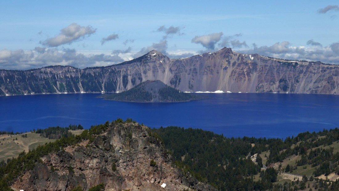
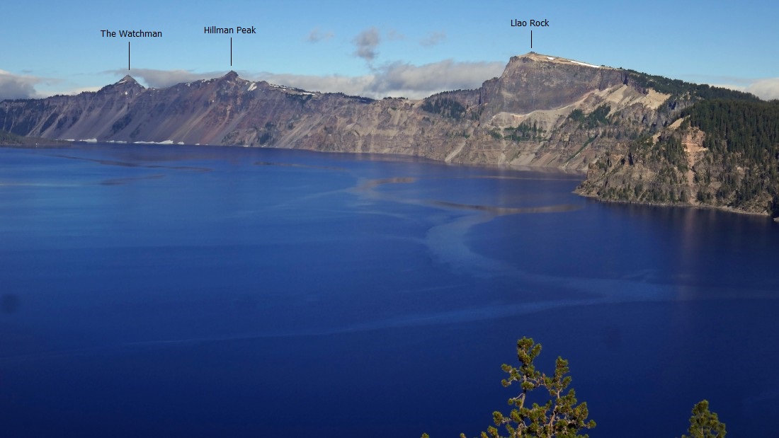
A closeup... looking west across Point 8418 in the foreground to Wizard Island in the lake... The Watchman is directly above the island... with Hillman Peak to the right.
|
Gaining elevation on the Mount Scott Trail... the views make it very hard to keep moving.
|

Closing in on the summit lookout.
|
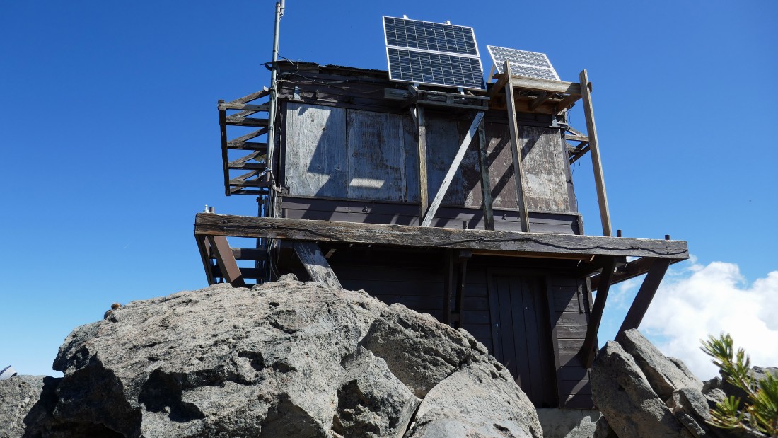
The lookout on the summit (8929') of Mt. Scott... the high point in Crater Lake National Park.
|
A pano shot from the summit of Mount Scott... looking SW (left) to the north (right).
|
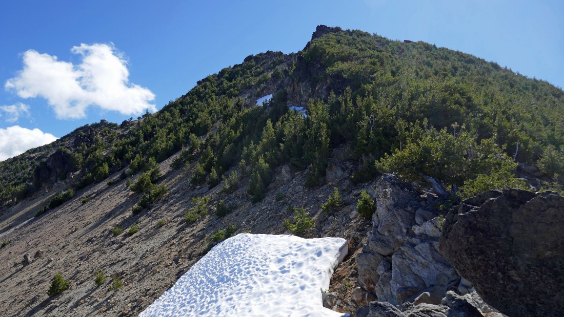
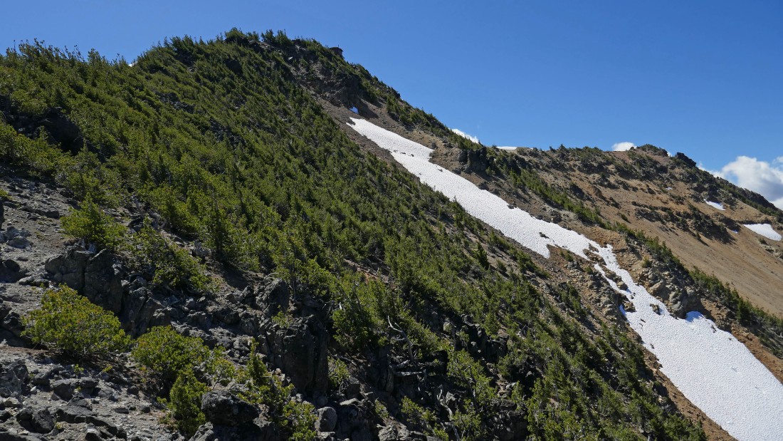
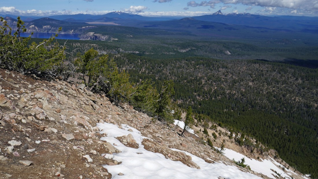
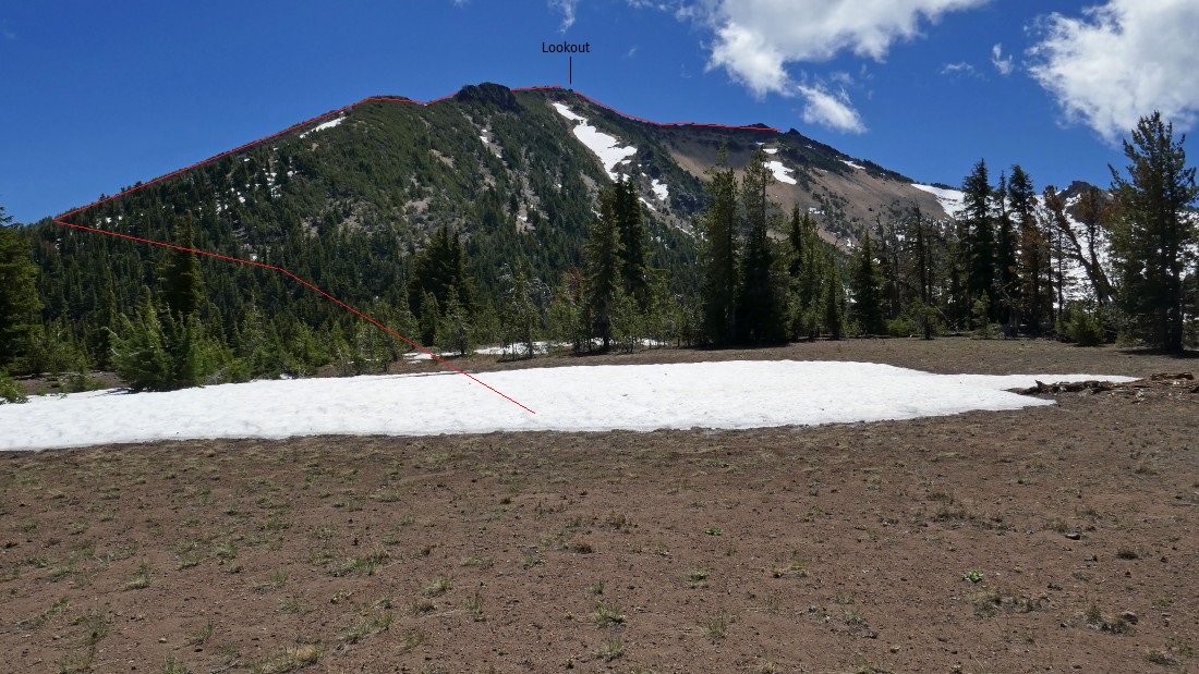
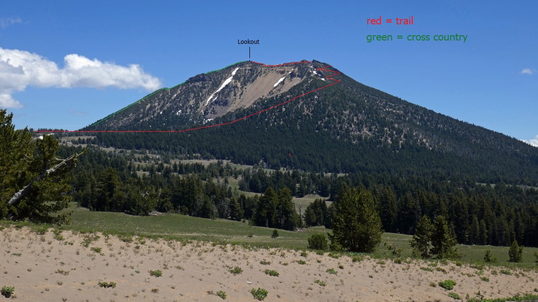
99.9 percent of hikers trace there steps from the summit back to their car... however, I chose to make a loop trip out of the hike... continuing from the summit down Scott's north ridge... first needing to work around this steep snow field.
|
Working down the north ridge of Scott... here looking back up at the lookout above.
|
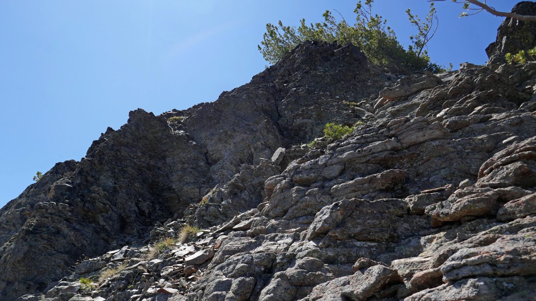
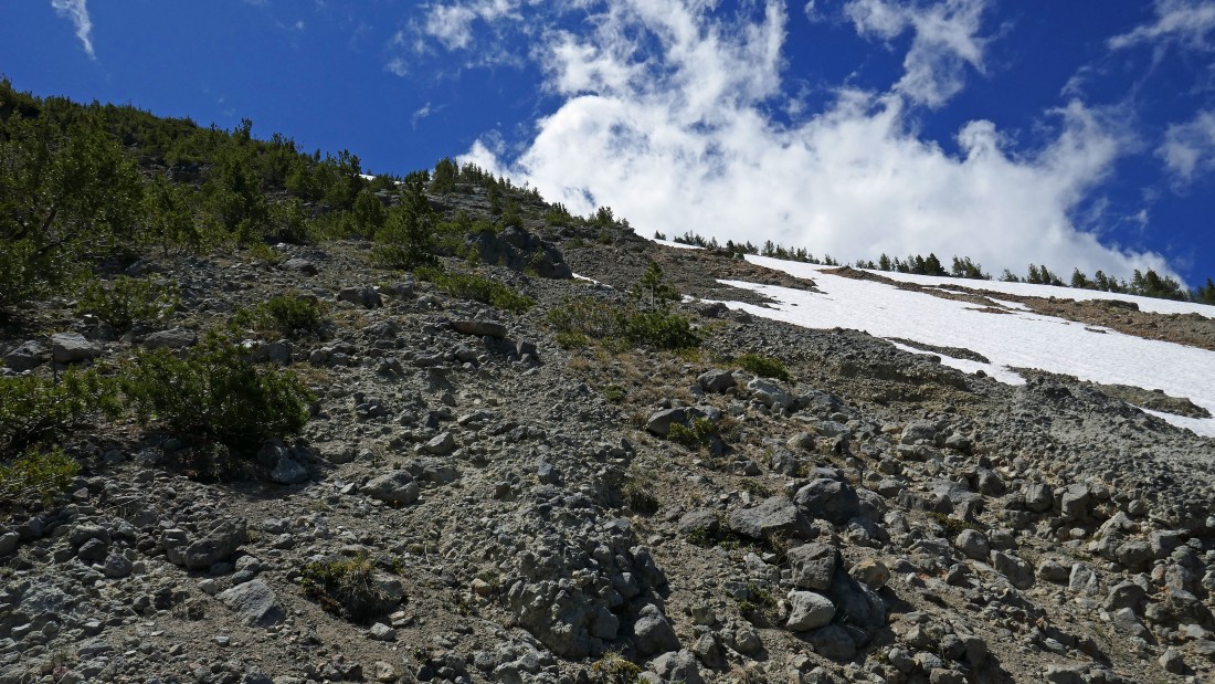
The terrain on the north ridge of Mt. Scott is steep and loose.
|
There is also some interesting rock outcroppings to deal with on Scott's north ridge.
|
Looking back at my route down Scott's north ridge.
|
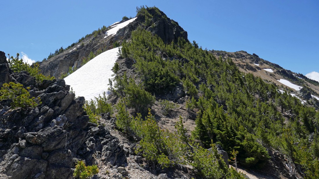
Looking back at my route down Scott's north ridge.
|
Looking back at my route down Scott's north ridge.
|
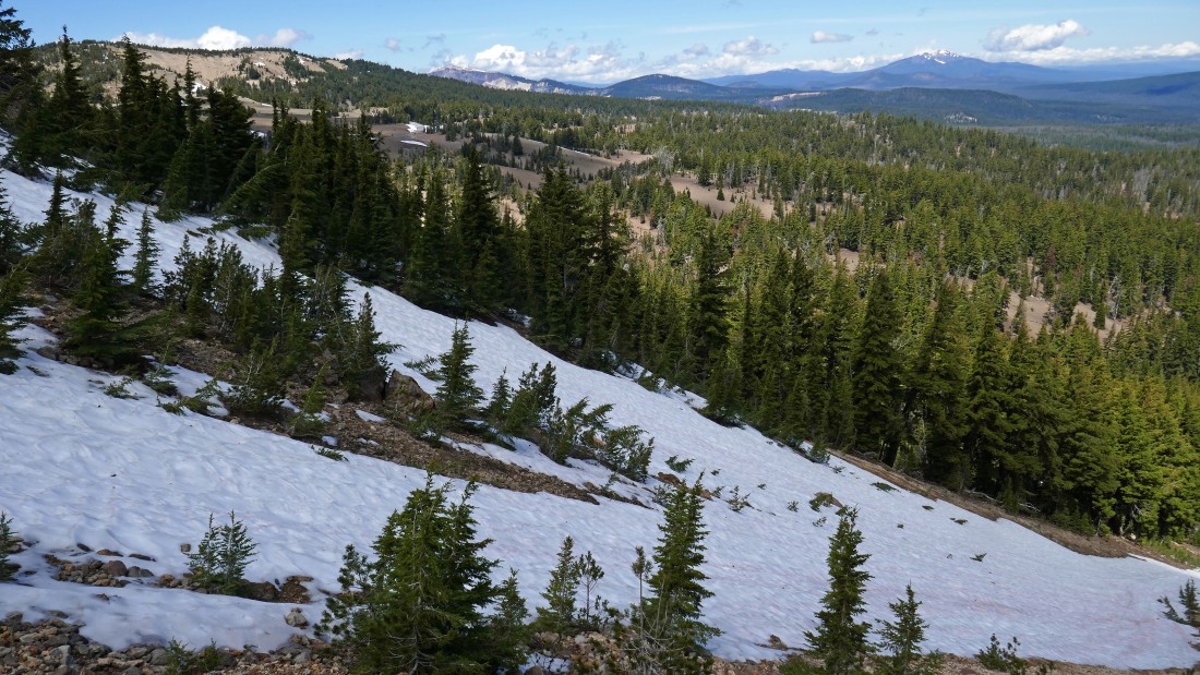
Low enough now to cross this snow field and head west back to where Denali Girl has moved our car.
|
Whew... so happy to be back on flat terrain... will never do this route down again... my roundtrip was 3.6 miles, gaining 1541 feet of elevation... if you choose to just use the trail both up and down, the stats would be closer to 4.6 miles roundtrip, gaining ~1300 feet of elevation.
|
Looking over at Mt. Scott after driving a short distance from the trailhead.
|
We stopped at the Crater Lake Lodge (barely visible on the far right edge of the photo)... Garfield Peak is in the right foreground... with Mt. Scott in the distance.
|
A pano shot from the Crater Lake Lodge... with Mt. Scott in the distance on the far right... I've already got several ideas for future trips to this amazing place!
|
