Cone Peak and Iron Mountain - 7.19.2019
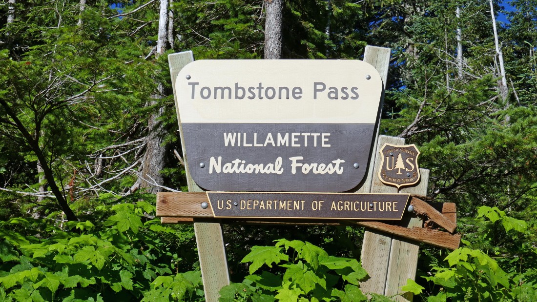
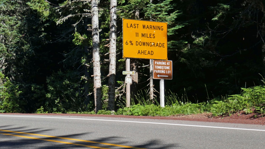
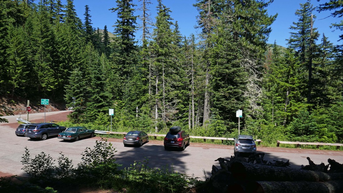
Tombstone Pass (~4220') is located ~37 miles west of the town of Sisters, Oregon on Highway 20... there is room for 15-20 cars to park.
|
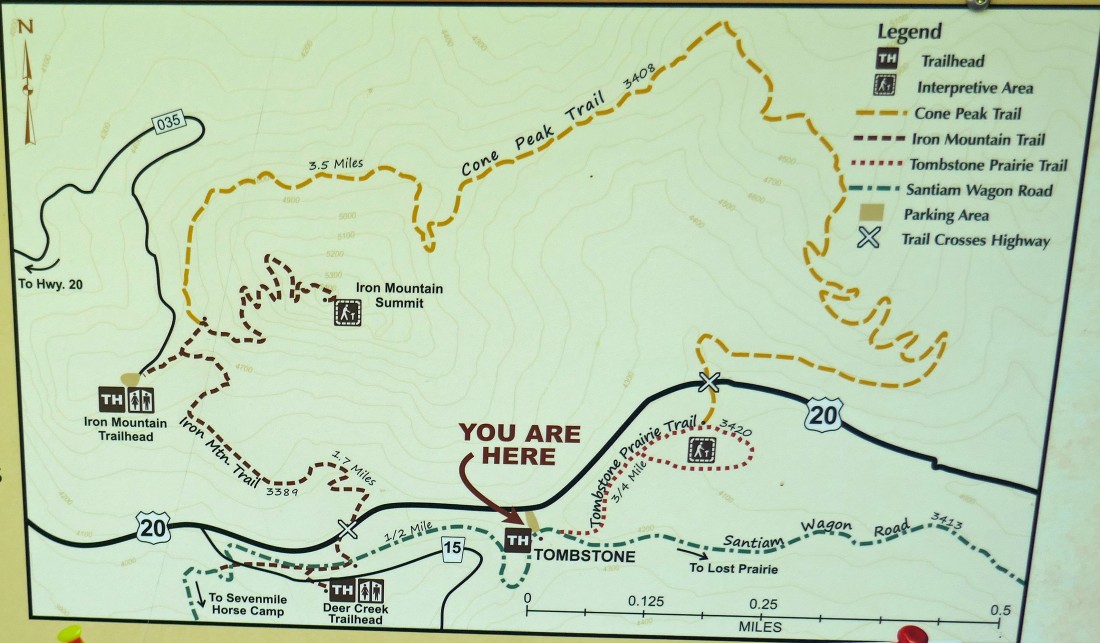
This pretty much lays out our loop hike... we will do the hike in a counter clockwise direction... with the only thing missing being the cross-country route that I took to Cone Peak which is off of the top of the board.
|
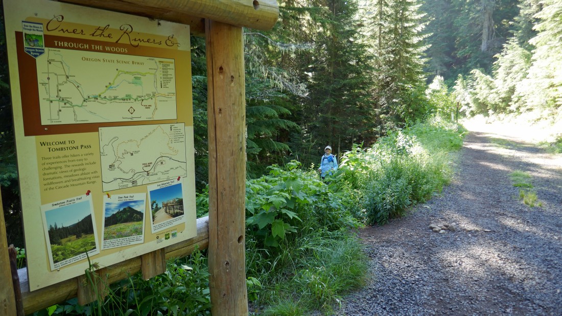
From the parking lot Denali Girl starts off downhill on the Tombstone Prairie Nature Trail #3419.
|
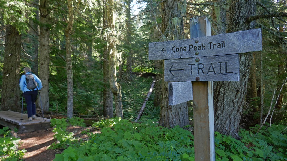
After hiking a little more than a half-mile we left the Tombstone Prairie Nature Trail and took this short connector trail up toward Highway 20.
|
Crossing Highway 20... looking for Cone Peak Trail #3408.
|
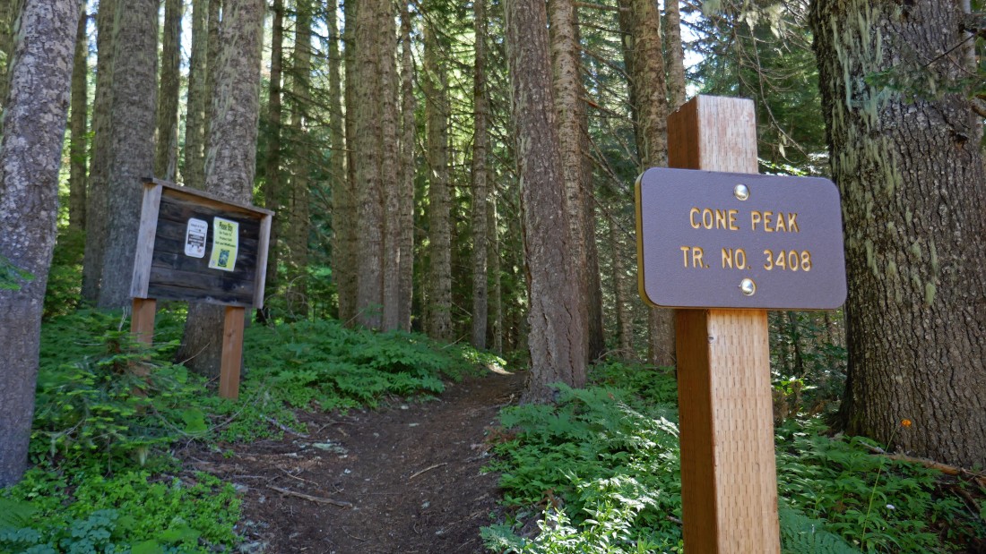
Cone Peak Trail #3408 starts on the north side of Highway 20... there really aren't any designated parking spots for the trailhead.
|

Lupine... this hike is advertised as one of the five best wildflower hikes in the state of Oregon... time will tell.
|
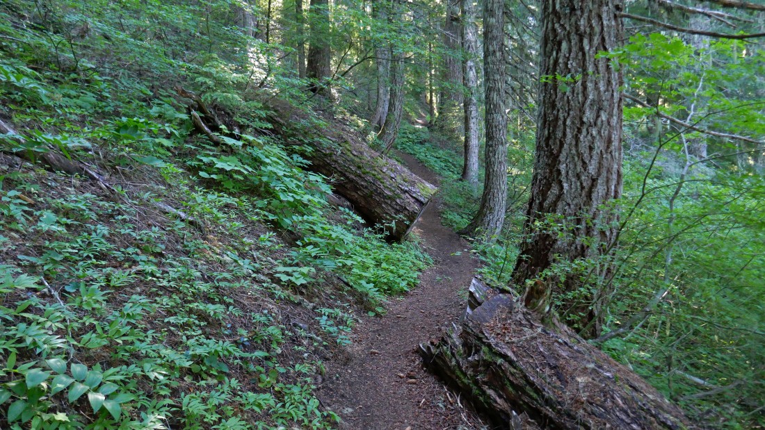
Gaining elevation in the woods on the nicely graded Cone Peak Trail.
|
Don't know what this flower is, but there was a lot of it.
|
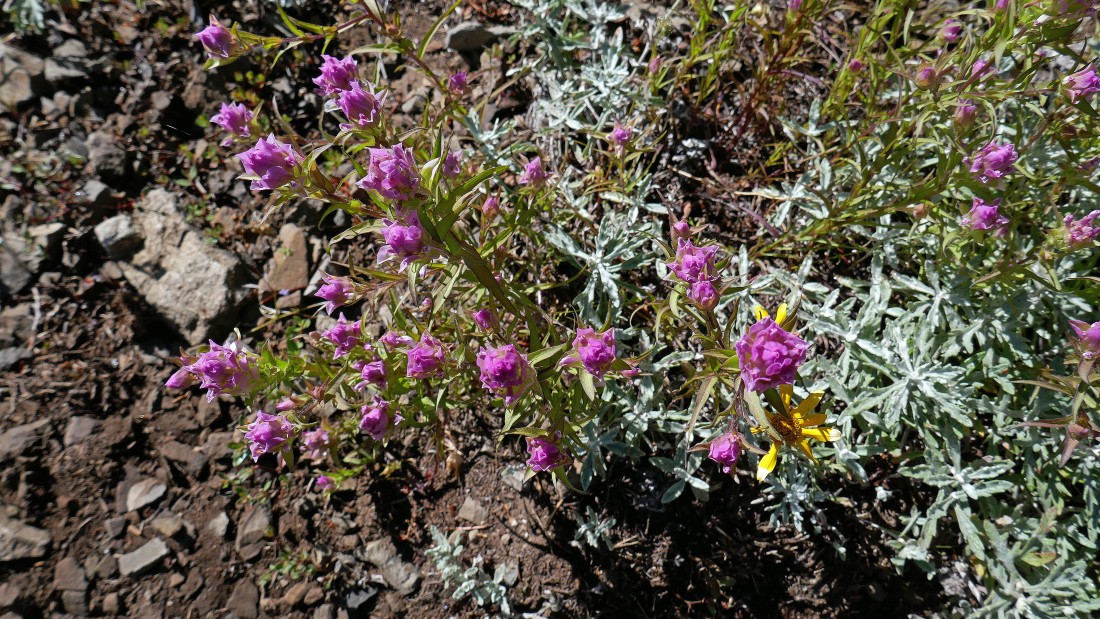
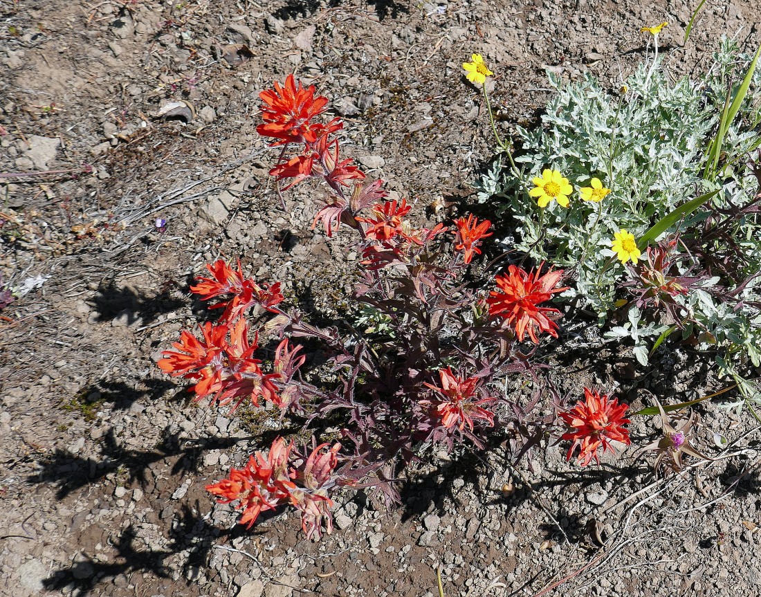
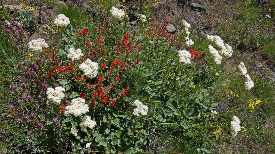
Magenta Paintbrush.
|
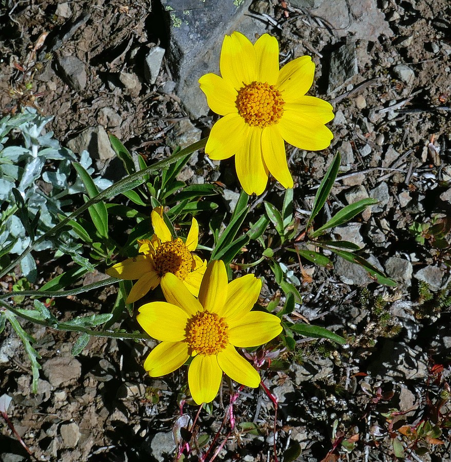
Woolly Sunflower.
|
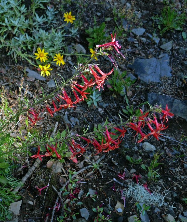
The red one is Scarlet Gilia.
|
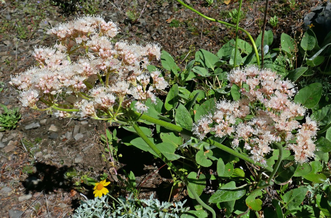
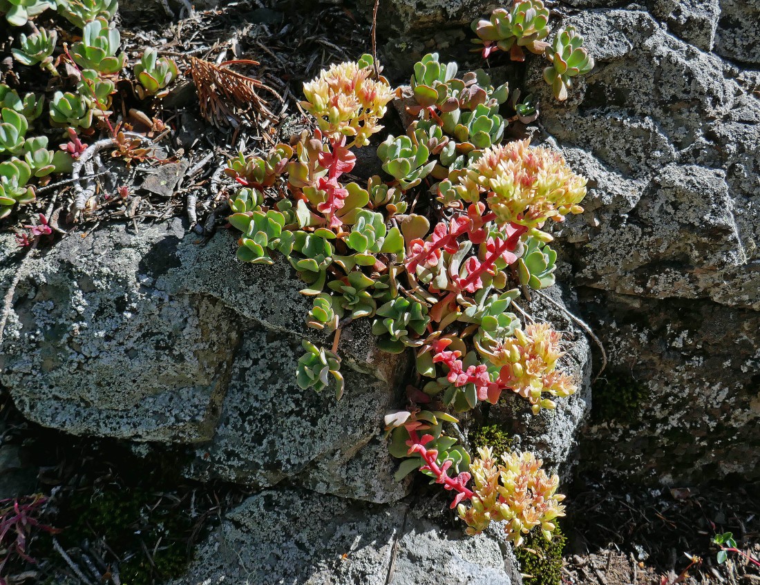
Very pretty, but no idea what it is.
|
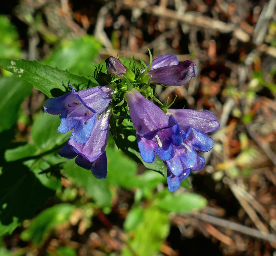
Penstemon.
|
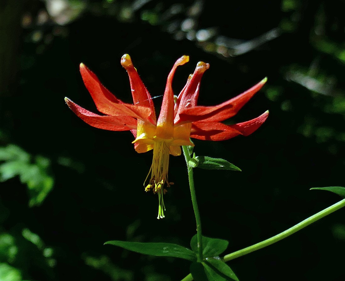
Columbine.
|
|
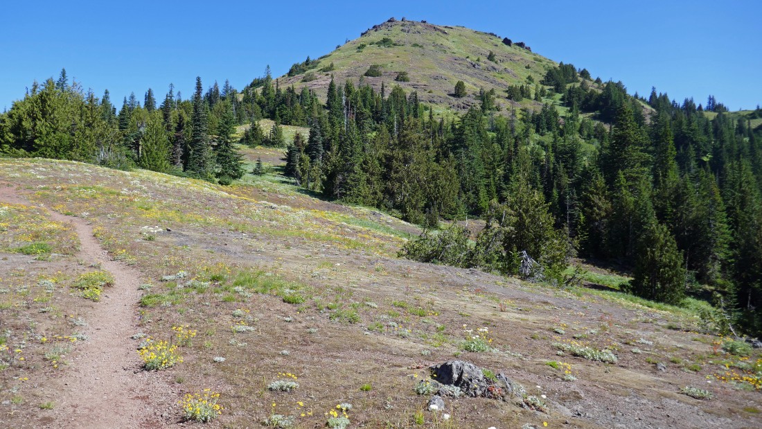
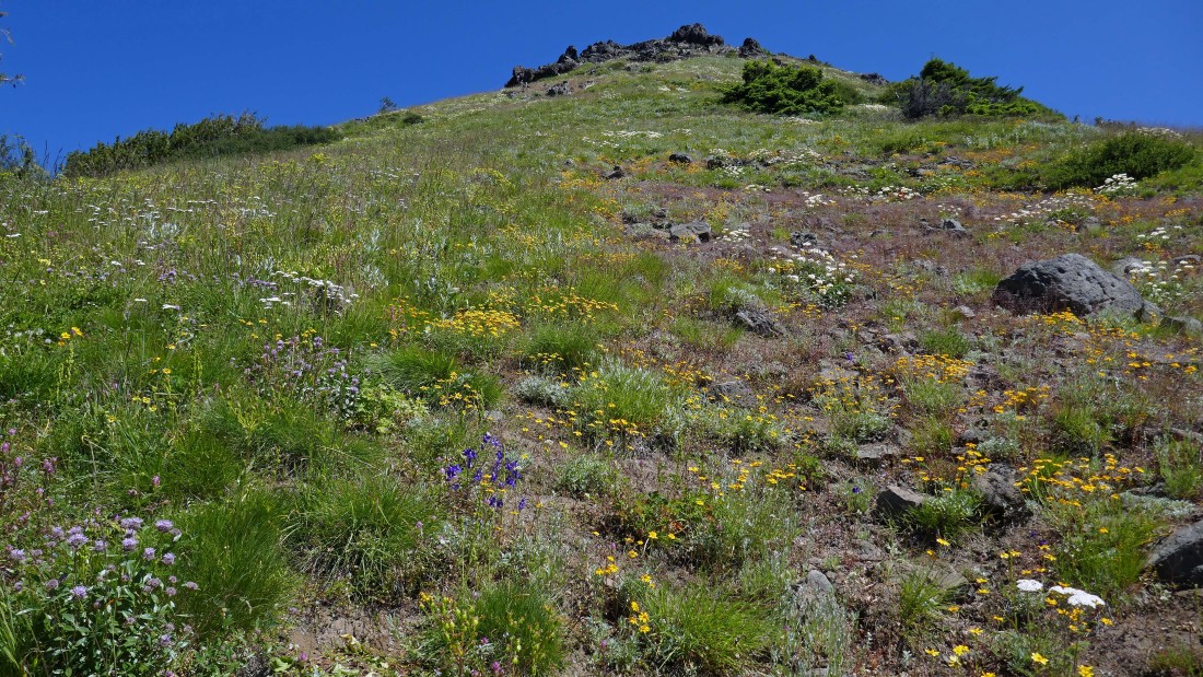
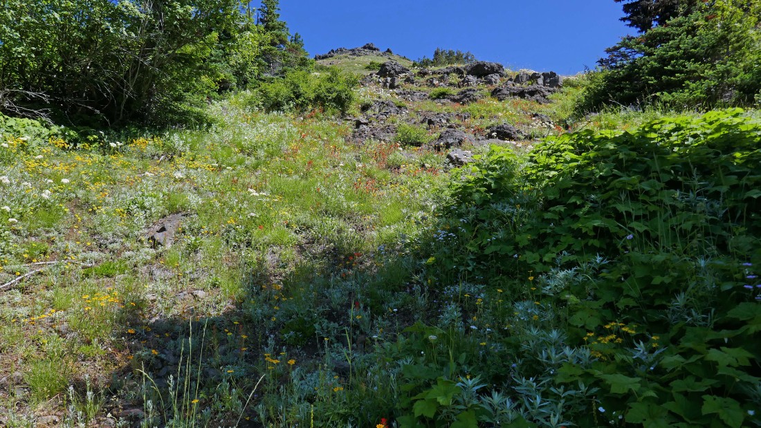
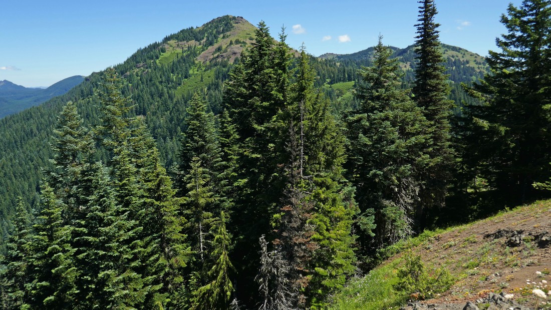
After hiking ~2 miles we came out of the woods into a meadow and got this view of Cone Peak on the left and South Peak of Echo Mountain on the right.
|
Indian Paintbrush and a few sunflowers.
|
Beautiful... but no idea.
|
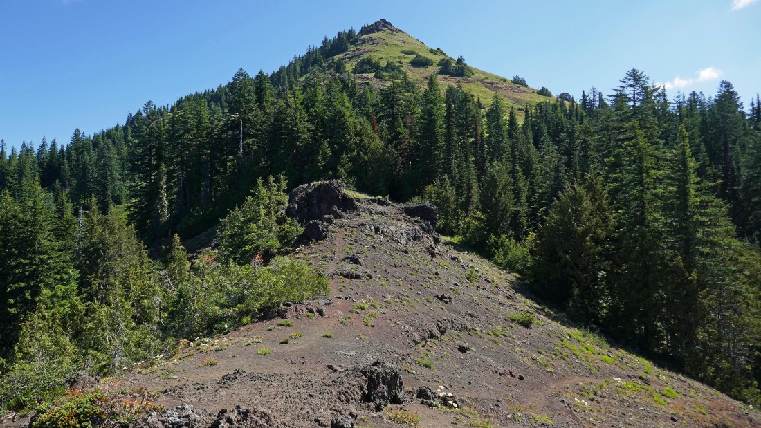
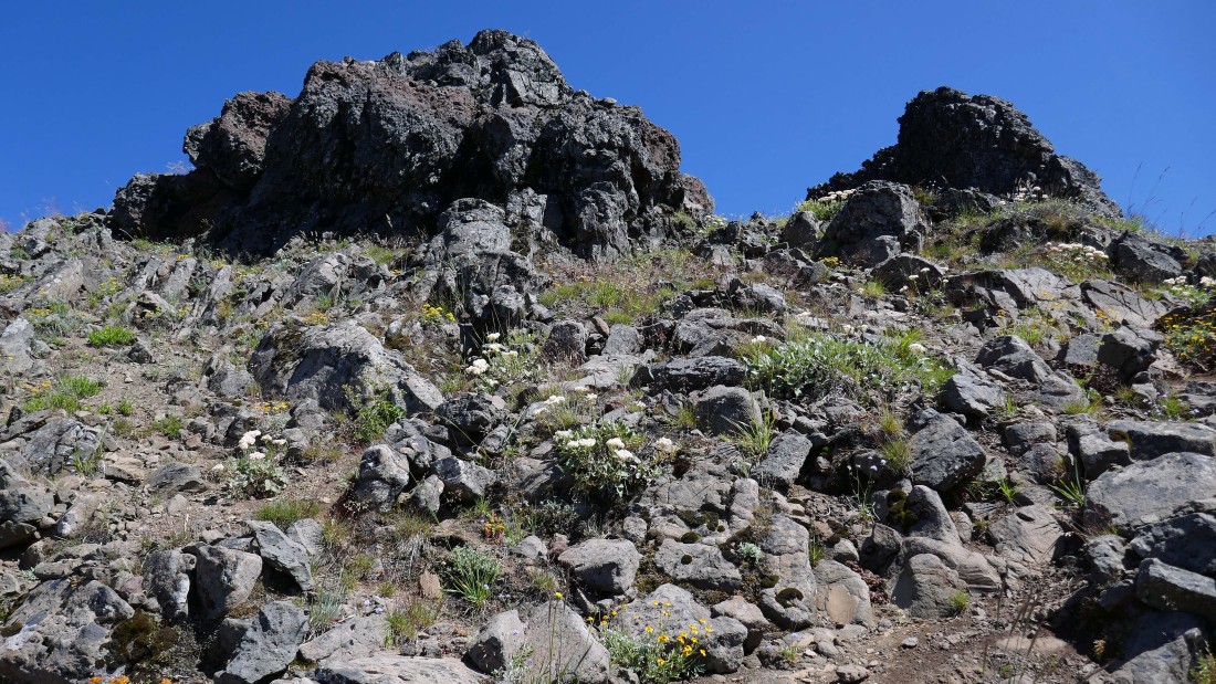
Looking up at Cone Peak as we continue along the Cone Peak Trail... wish I had headed cross country for the summit from right here, but I stayed on the trail for another quarter mile before leaving it.
|
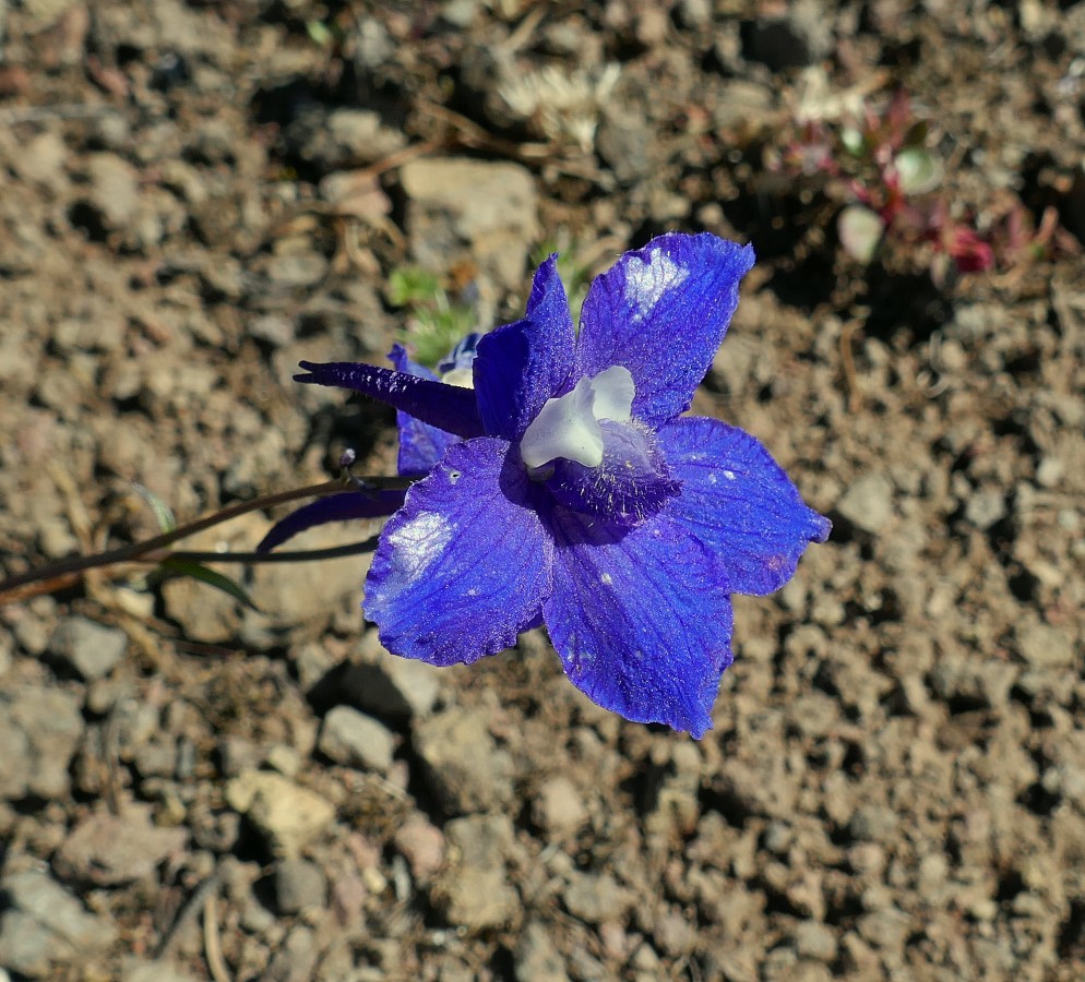
Larkspur.
|
I will head for Cone Mountain on its SW ridge... there is a path of sorts to follow.
|
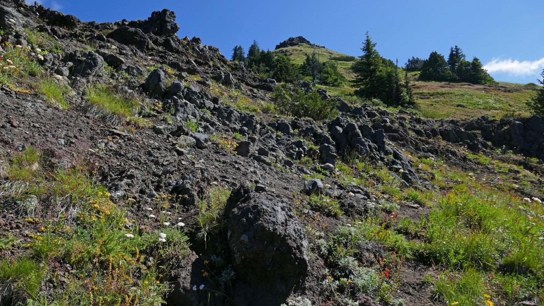
Ascending the SW ridge of Cone Peak... lots of flowers... and there is a faint path to follow.
|
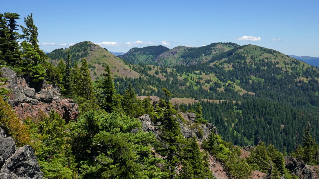
On the SW ridge of Cone Peak... looking down on the flowery meadow that we entered from Tombstone Pass... after I tag the Cone Peak summit I will return to the main trail and follow it over to join Denali Girl on the Iron Mountain summit.
|
Continuing up toward the Cone Peak summit.
|
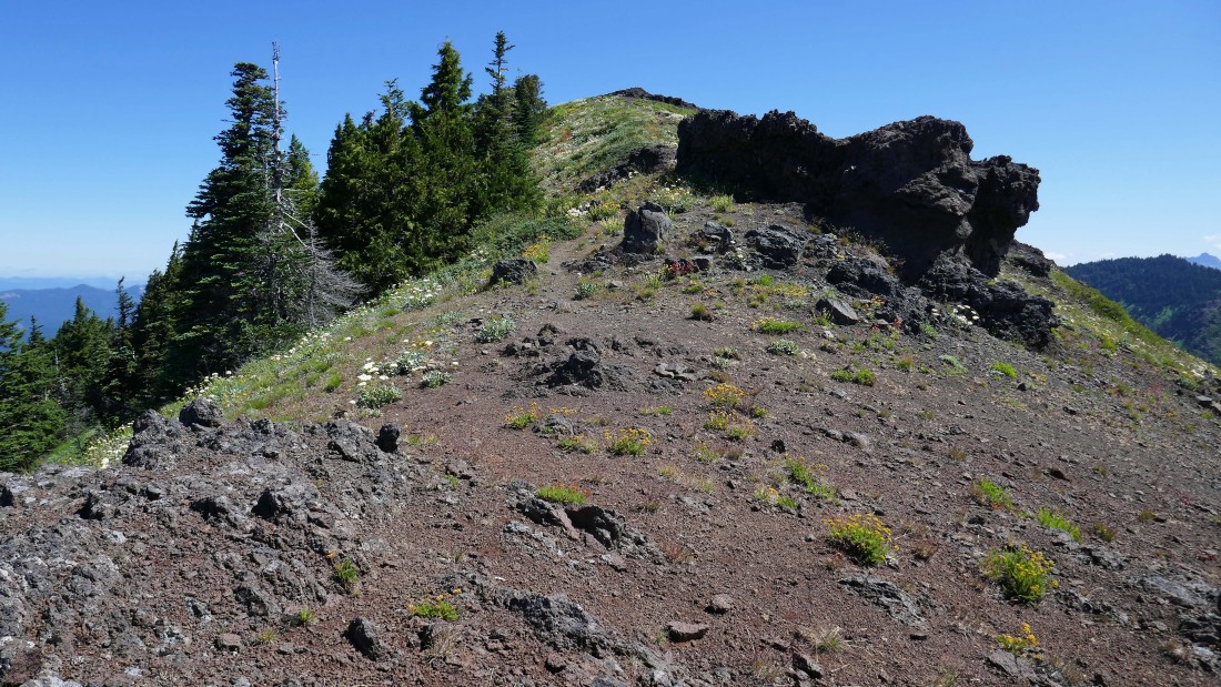
Summit is in view!
|
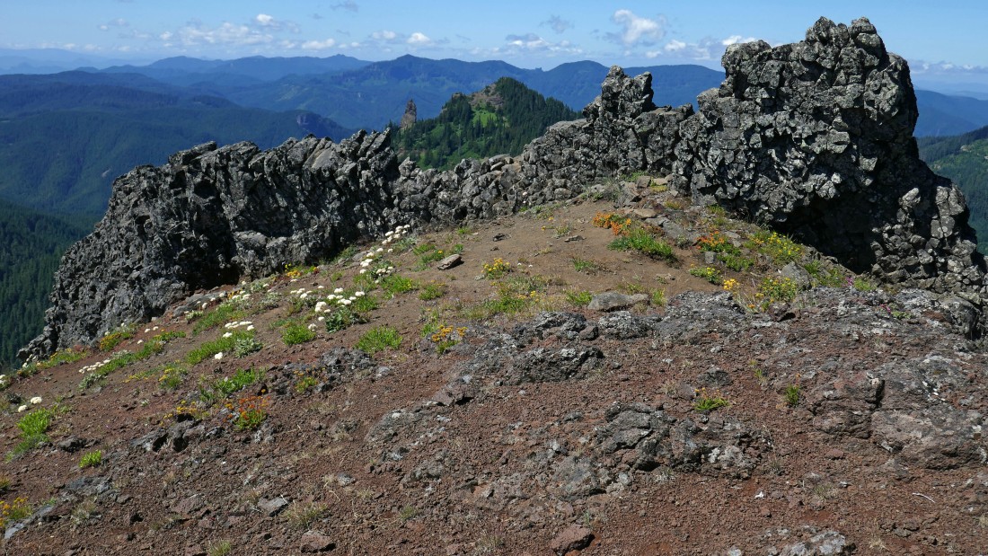
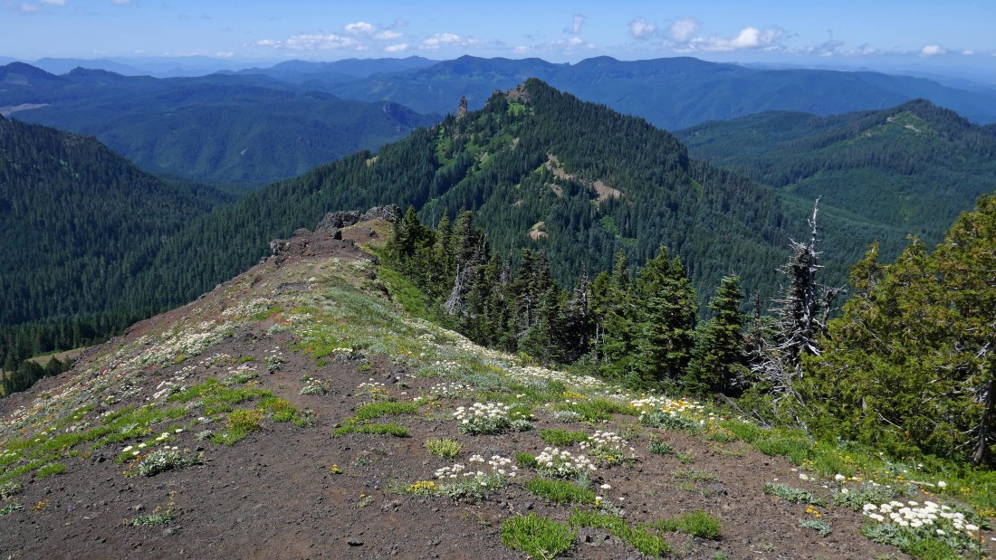
Looking back at Iron Mountain beyond this stone fence near the summit of Cone Peak.
|
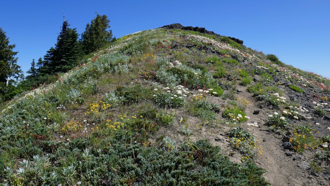
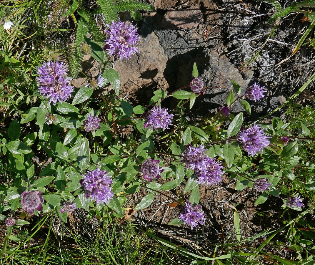
Beautiful flowers near the summit of Cone Peak.
|
Peak identification from the summit (5646') of Cone Peak.
|
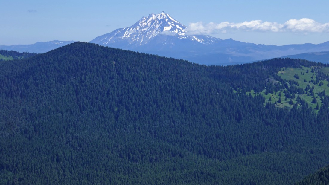
A closeup of Mt. Jefferson from the summit of Cone Peak.
|
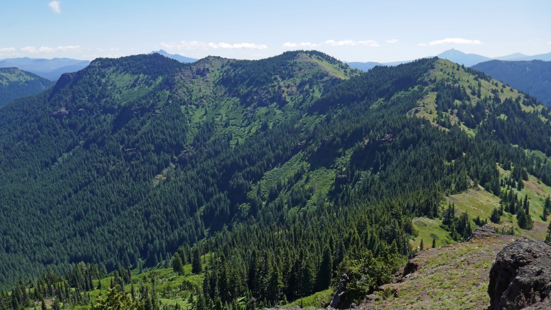
Echo Mountain (the main summit is in the middle)... with Three Fingered Jack and Mt. Washington on the horizon.
|
Leaving the summit of Cone Peak and heading for Iron Mountain.
|
Ballhead Waterleaf.
|
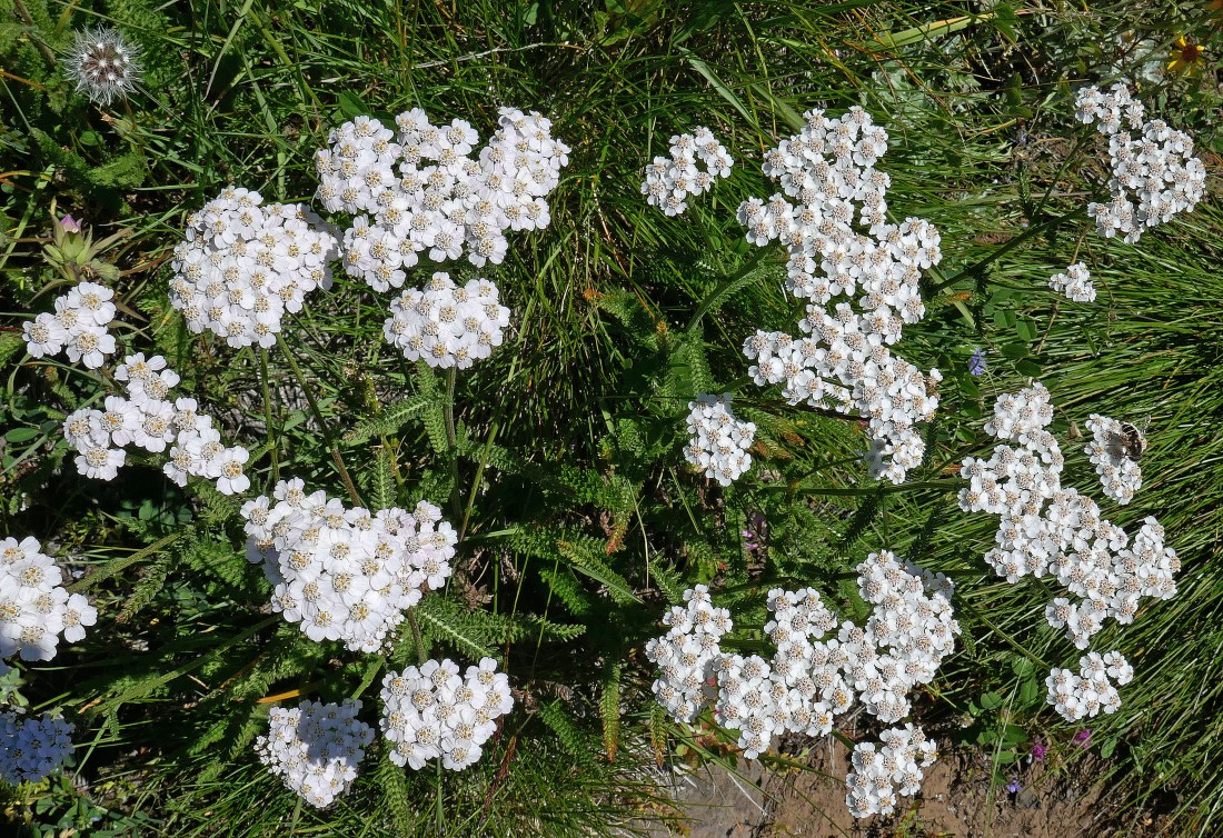
Yarrow.
|
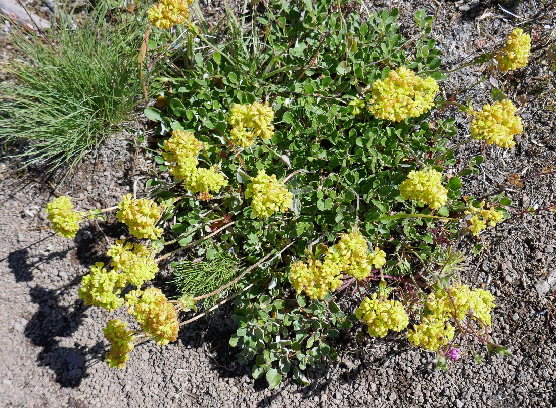
Lots of variety on the south ridge of Cone Peak.
|
Looking back up the south ridge of Cone Peak... I decided to take a slightly different route down.
|
In search of the Cone Peak Trail.
|
Looking back up toward the Cone Peak summit.
|
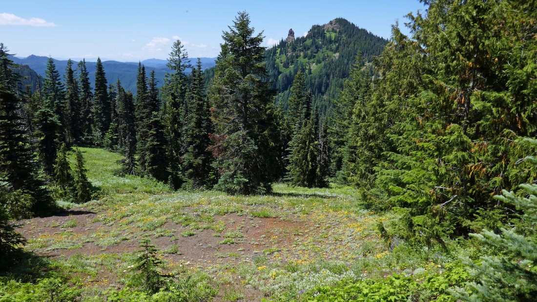
Almost back to the Cone Peak Trail... Iron Mountain is in the distance.
|
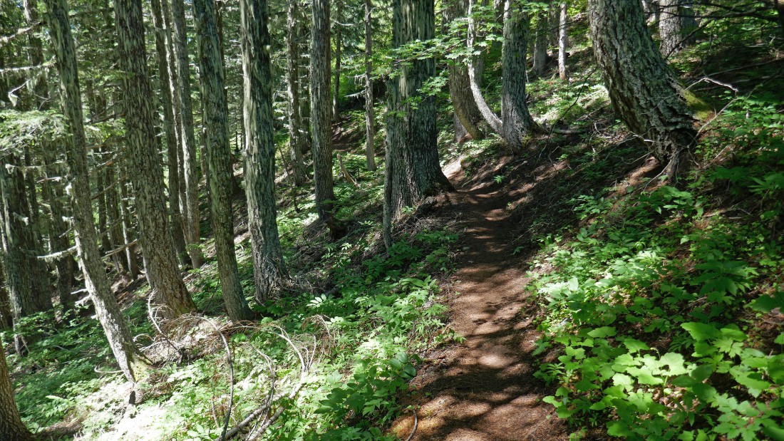
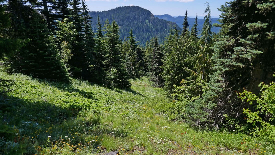
Back on the Cone Peak Trail which will stay in the woods most of the way over to where I will find the Iron Mountain Trail on the west side of the mountain.
|
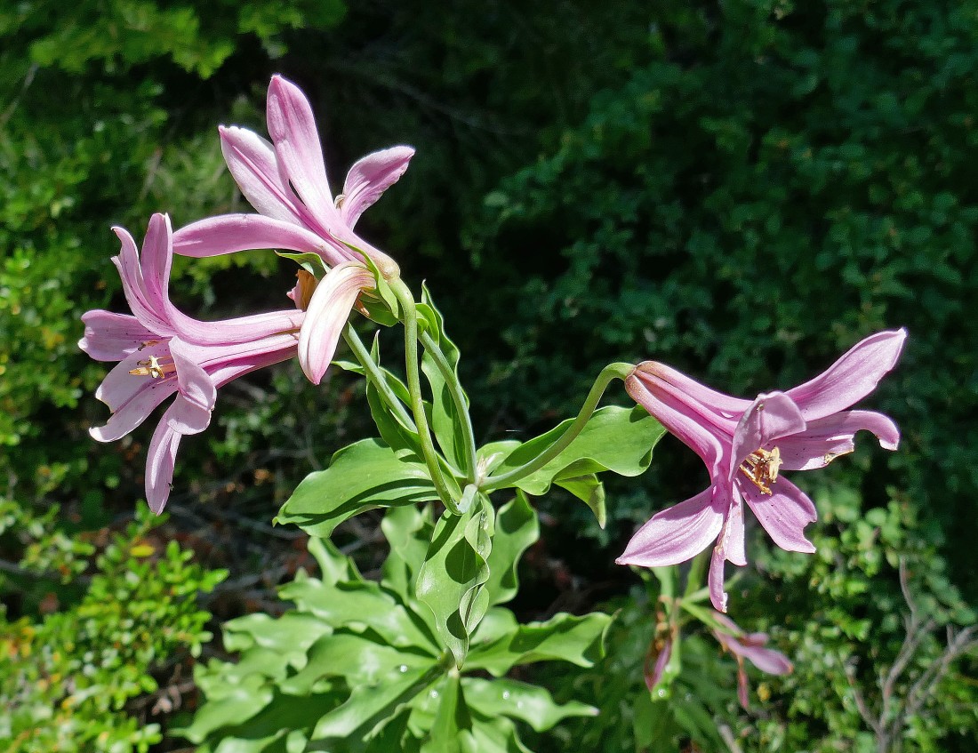
Cascade Lily.
|
One of the peekaboo views of Cone Mountain as I continue around the north side of Iron Mountain.
|
I have met the Iron Mountain Trail on the west side of the mountain... and I will follow it on up to the summit.
|
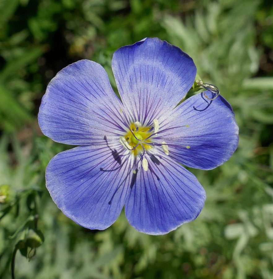
Blue Flax.
|
Switchbacking my way up to the summit of Iron Mountain.
|
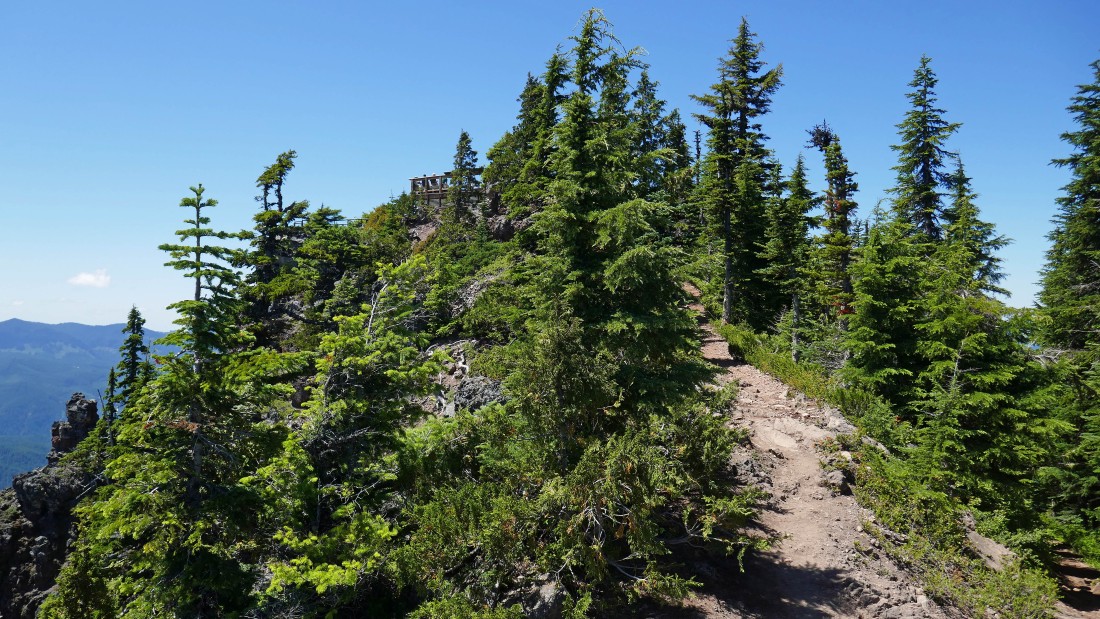
I can see the platform on the summit... it was built in 2007 when they removed the lookout.
|
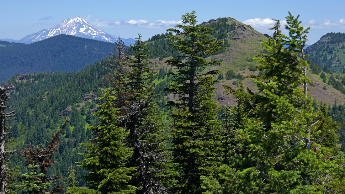
On the Iron Mountain summit (5440+)... Cone Peak in the foreground... with Mt. Jefferson in the distance on the left.
|
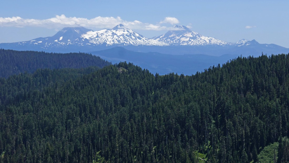
Left to right... North Sister, Middle Sister, South Sister and Mt. Bachelor and The Husband on the far right.
|
Peak identification from the summit of Iron Mountain.
|
Cone Peak on the left... and the multi-summited Echo Mountain.
|
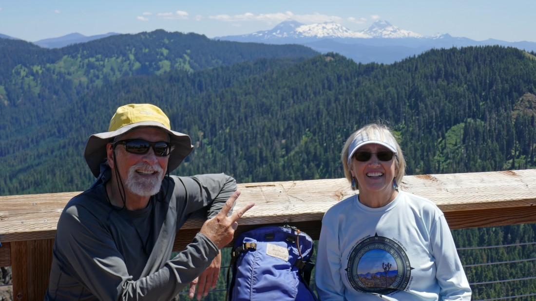
ragman and Denali Girl on the Iron Mountain summit.
|
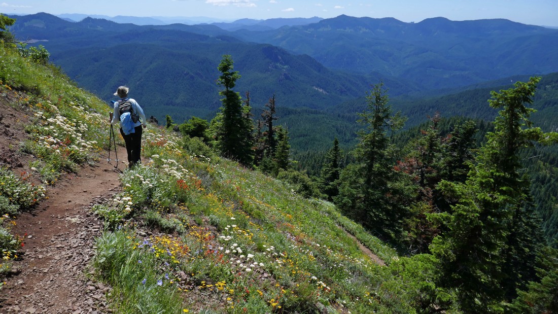
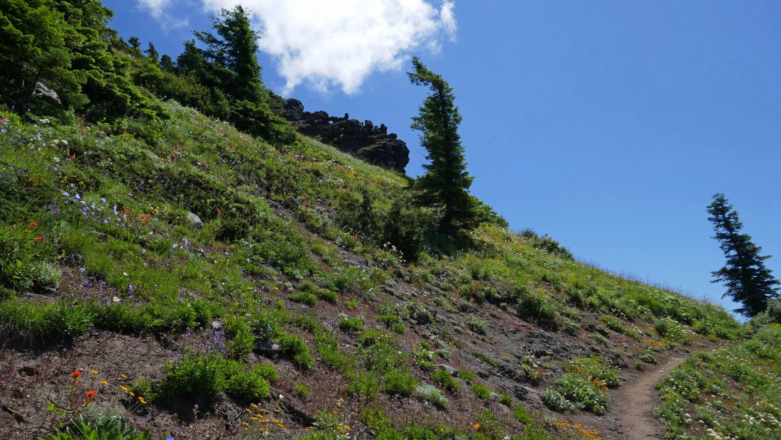
Heading down from the Iron Mountain summit in a sea of wildflowers.
|
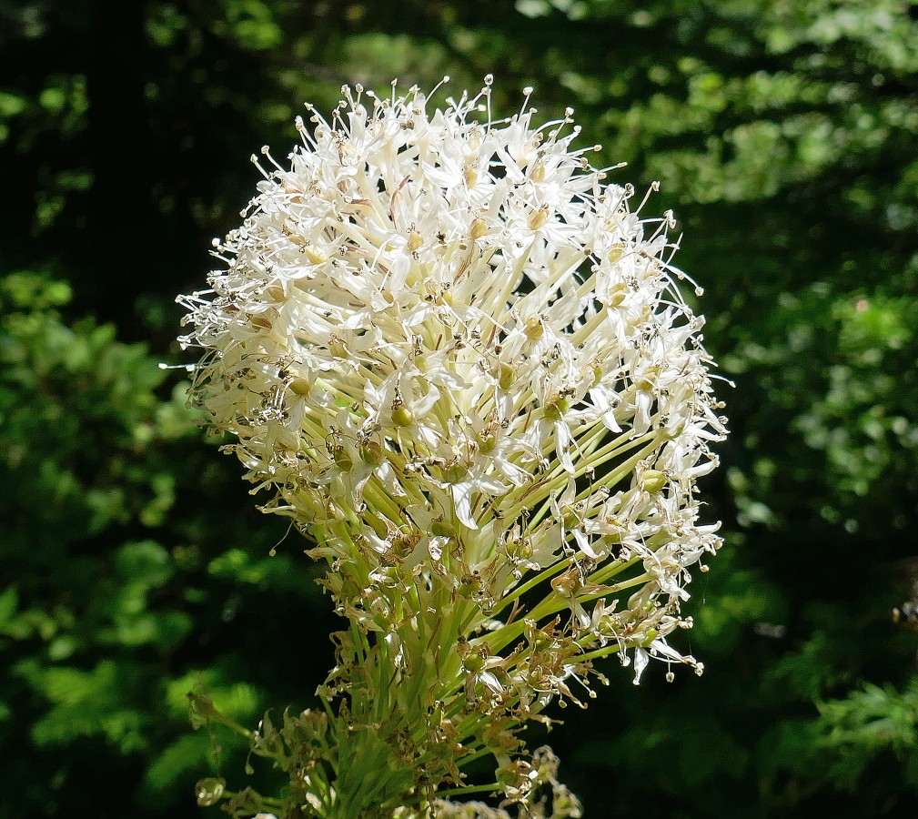
Beargrass.
|
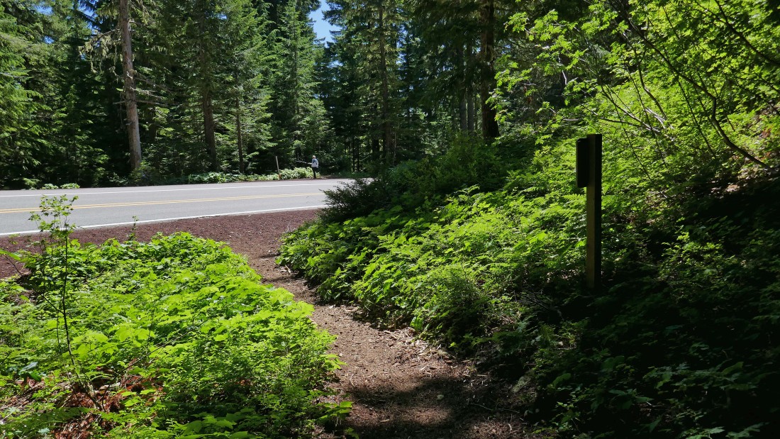
Time to cross Highway 20 again... we will connect with the Santiam Wagon Road Trail.
|
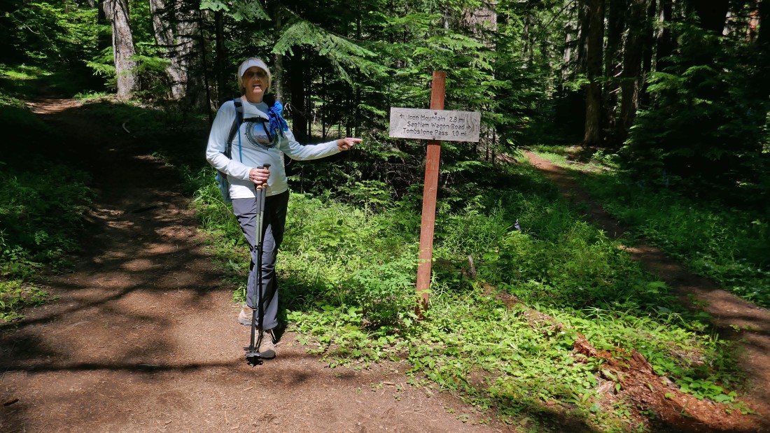
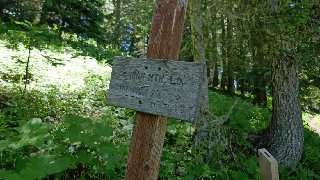
Just off of Highway 20... we will follow the Santiam Wagon Road Trail #3413 back to our car... the sign says it will be one mile, but it is really only a half-mile.
|
Back at Tombstone Pass... our loop hike was 8 miles, gaining 2886 feet of elevation.
|
