Moon Mountain and Ball Butte - 7.25.2019
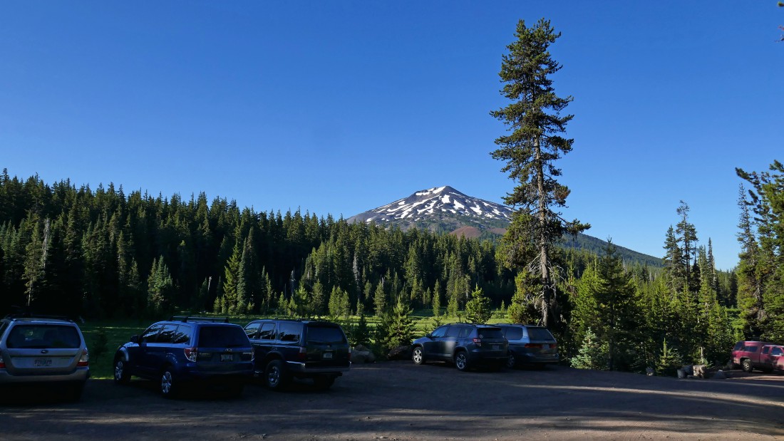
The parking area (6120') for Todd Lake is a half-mile drive off of Cascade Lakes Highway on Road 4600-370... today the road was gated here, but when the gate is open a high clearance vehicle can continue on up the road to get closer to the peaks I will do today... Mt. Bachelor is out there in the distance.
|
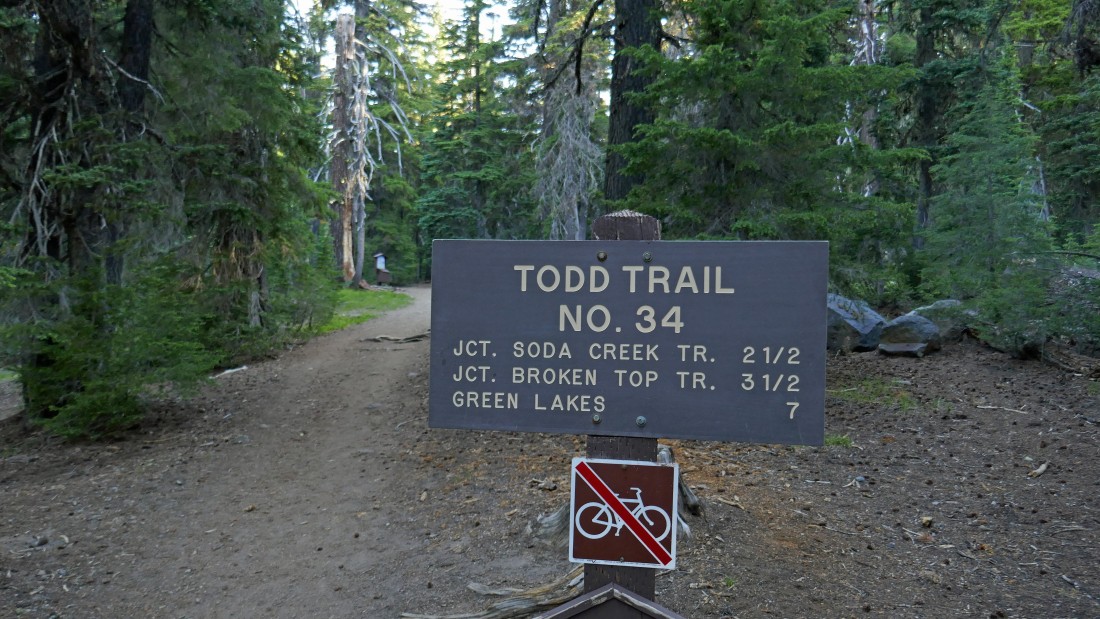
From the Todd Lake parking area follow the signs toward the lake and find the actual trailhead for Todd Trail #34 about an eighth of a mile from the parking area.
|

After hiking 1.3 miles I am entering the Three Sisters Wilderness.
|
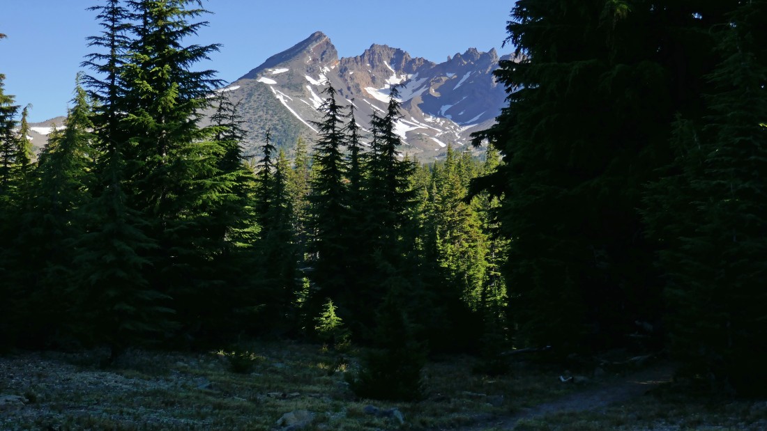
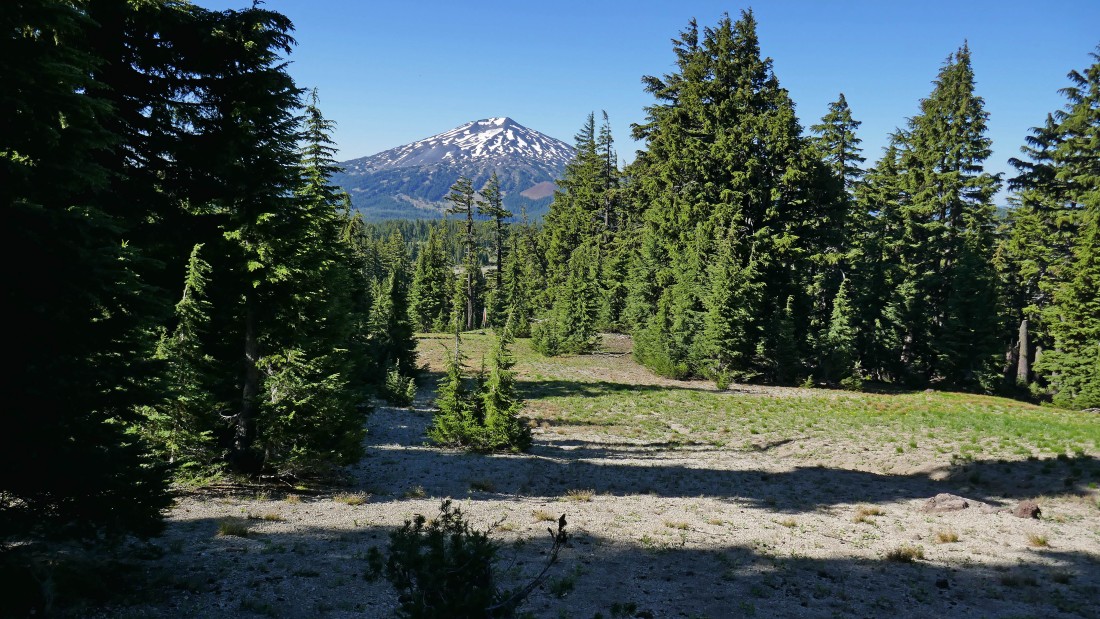
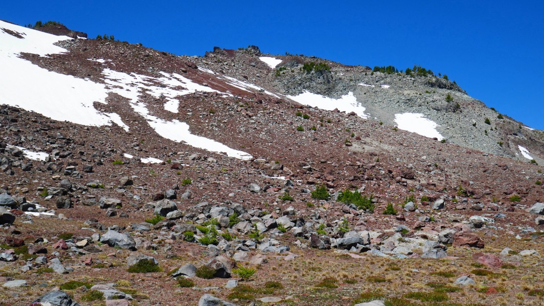
A view of Broken Top just before I decided to leave Todd Trail #34 and go cross-country.
|
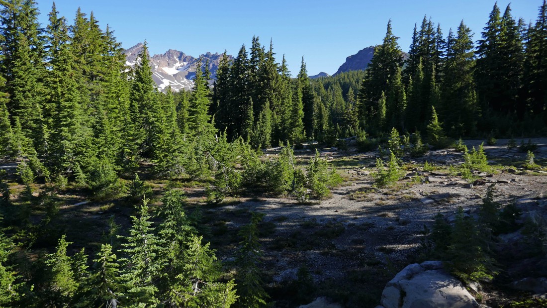
After hiking a total of 1.7 miles I left Todd Trail #34 and headed cross-country in the direction of Moon Mountain.
|
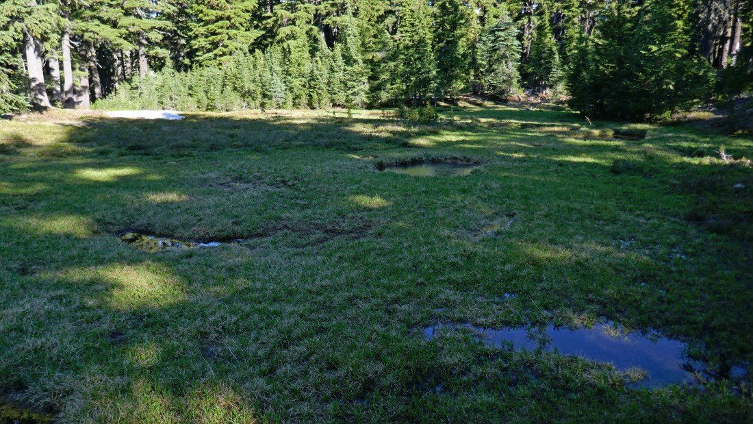
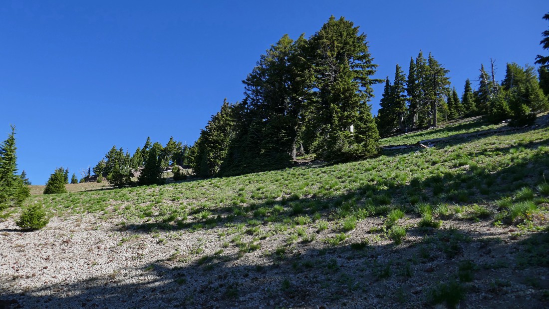
There were several little meadows along the route I chose to get over to Moon Mountain... the bugs kept me moving past the meadows.
|
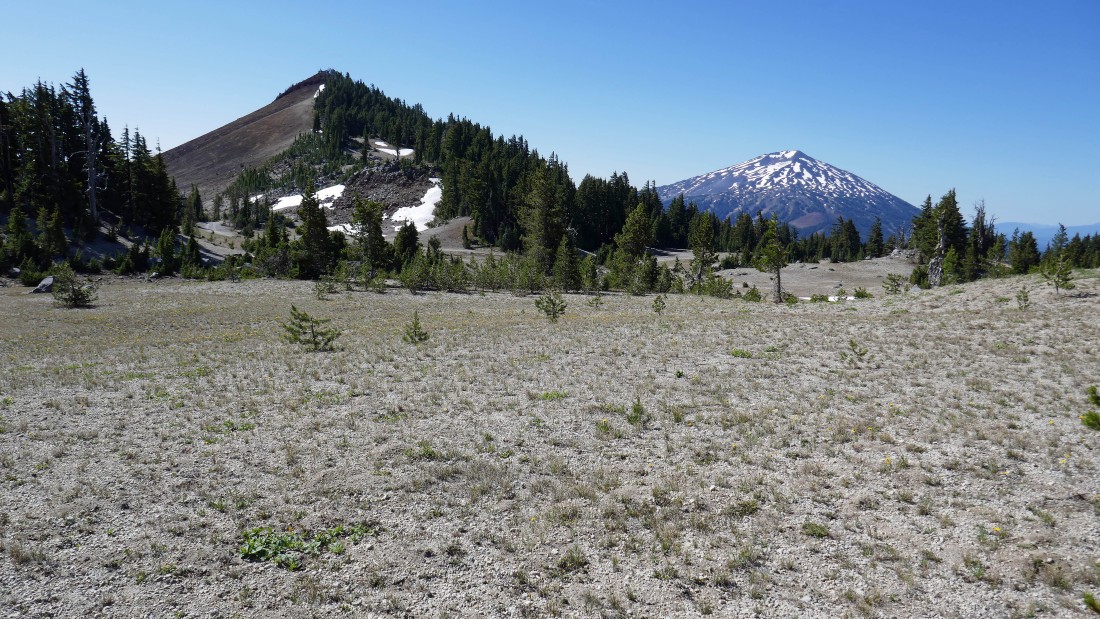
I have already hiked out of the Three Sisters Wilderness on my way toward Moon Mountain... Broken Top is in the distance on the left... with Ball Butte in the right foreground.
|
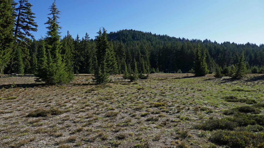
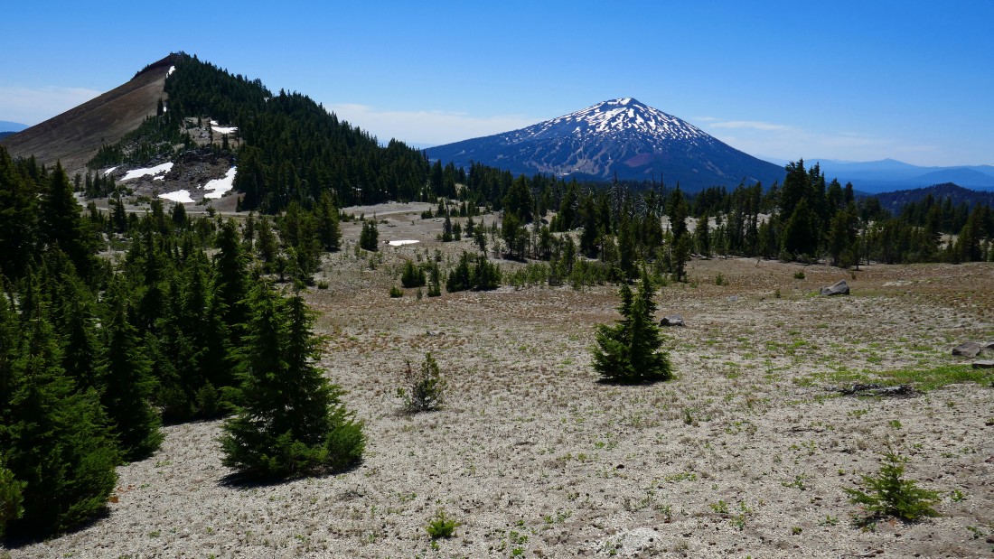
I am approaching the Crater Ditch Trailhead area... with a treed Moon Mountain above the trailhead parking area... I skied Moon Mountain 20 years ago and didn't remember all of the trees.
|
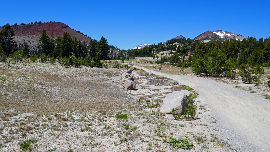
After hiking a total of 2.5 miles I have reached the trailhead area for the Crater Ditch Trail... Road 4600-378 is on the right... it is accessible from Road 4600-370 when the gate is open at the Todd Lake parking area... Tumalo Mountain and Mt. Bachelor are in the distance.
|
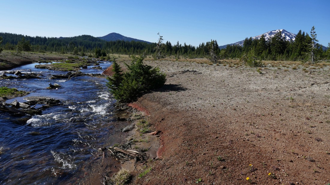
I need to get across Crater Ditch in order to continue toward Moon Mountain.
|
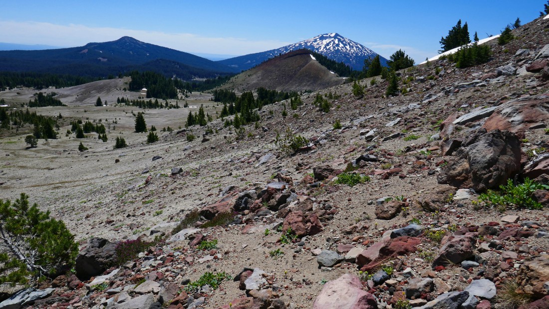
I managed to stay dry getting across Crater Ditch... now heading uphill on Moon Mountain and looking back at Mt. Bachelor.
|
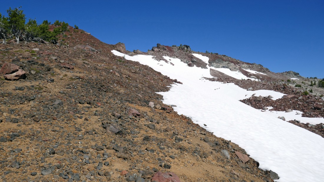
Moon Mountain is not quite as treed near the top as it looked from a distance.
|
On the Moon Mountain summit (7459') after hiking a total of 3 miles... the notoriously bad Road 4600-380 is visible on the left... on my return to the car I will walk the road to see if my Subaru Outback can handle it on future trips... Tumalo Mountain and Mt. Bachelor are in the right foreground.
|
Looking north from the summit of Moon Mountain... Ball Butte is in the foreground... with South Sister and Broken Top beyond.
|

Heading down the north side of Moon Mountain... I will cross Road 4600-380 below and head for Ball Butte in the right foreground... South Sister on the far left... with Broken Top in the center.
|
I have crossed Road 4600-380, reentered Three Sisters Wilderness and heading uphill for Ball Butte... here looking back at Moon Mountain on the left and Mt. Bachelor in the distance on the right.
|
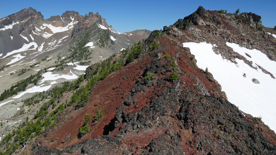
Getting higher on Ball Butte... with Broken Top starting to appear again.
|
Gaining elevation on Ball Butte... looking back at my route from Moon Mountain... with Tumalo Mountain and Mt. Bachelor beyond.
|
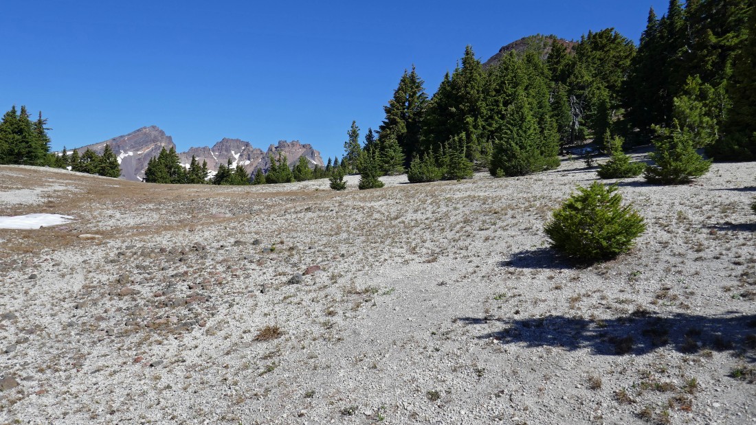
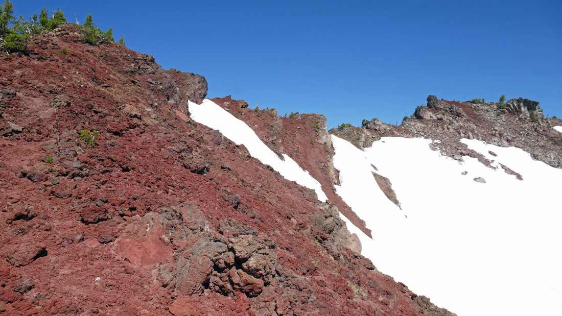
Nearing what I thought was the summit area of Ball Butte.
|
Looks kind of gnarly from here... still thinking the summit is on the far right.
|
|
Well... just keep hiking along the ridge over to the summit... right?
|
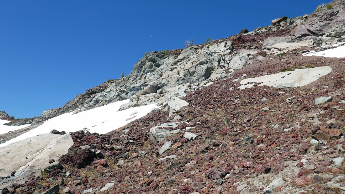
The photo doesn't show the terrain very well, but I'm looking at a 12 foot drop in order to continue along the ridge... and I don't like it... so I'm going to back track a bit and see if there is a good way to avoid the 12 foot drop.
|
The west side of the ridge was out of the question... so here I'm looking for a way around the 12 foot drop on the east side of the ridge... and I didn't like it either... so, I will backtrack, give up 250 feet of elevation and try a different approach.
|
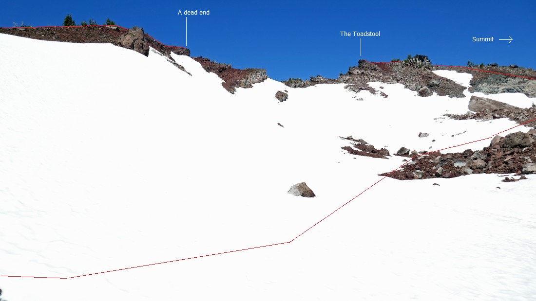
This shows where I hit the dead end and how I got up to what I thought was the summit... yes, I named The Toadstool.
|
A closer look at how I got up to The Toadstool... at the time I thought it was the summit.
|
Heading up toward The Toadstool... and the moon.
|
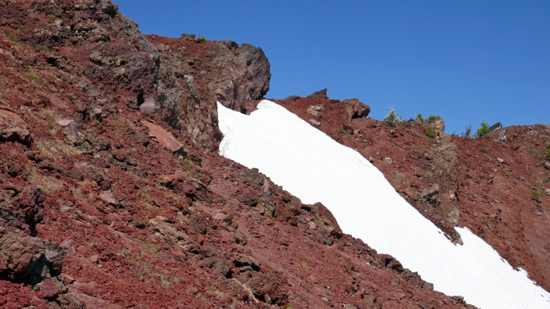
Almost back up on the ridge.
|
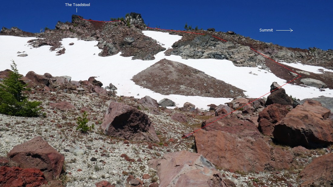
On the ridge... looking over at The Toadstool... and I now realize that the true summit is behind me... but I'm still going over to check out The Toadstool.
|
Standing on The Toadstool (~8050') and looking south.
|
Standing on The Toadstool and looking north... the true summit of Ball Butte is a simple stroll from here.
|
|
Nearing the true summit of Ball Butte.
|
Looking north from the Ball Butte summit (8091') after hiking a total of 4.8 miles.
|

From the Ball Butte summit I'm looking down on a portion of Broken Top Trail #10 which leads to No-Name Lake... one of the most beautiful spots on the planet.
|
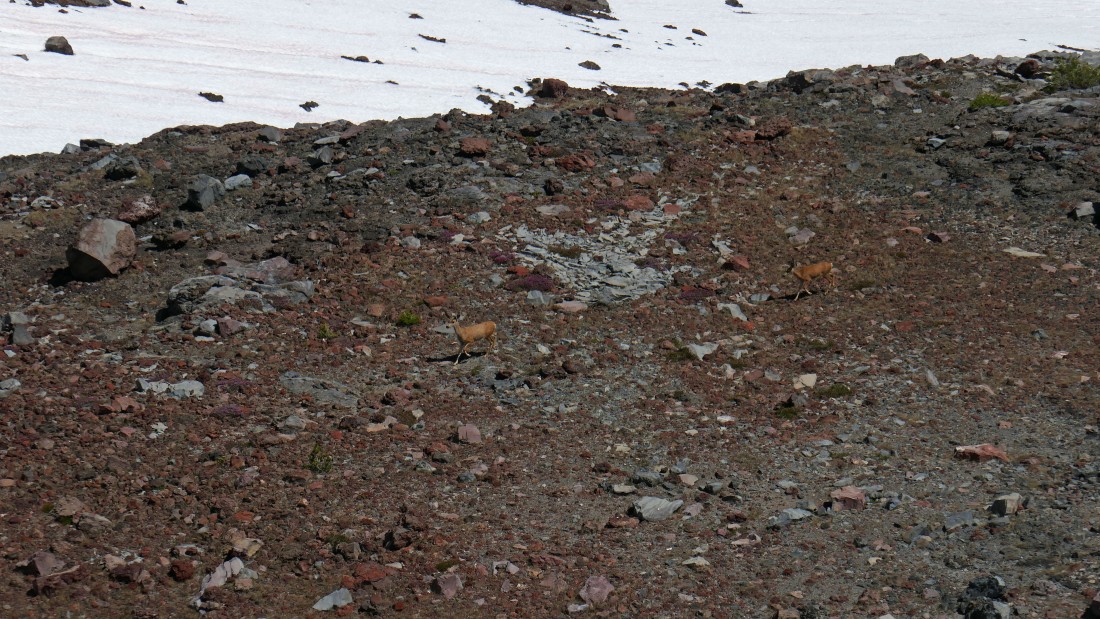
On the way down now... these two deer wanted nothing to do with me.
|
Looking back up at The Toadstool as I head down from the Ball Butte summit area.
|
Traversing along the east side of Ball Butte... working my way over to south side of Ball Butte where I will check out the parking area for Broken Top Trail #10 at the end of Road 4600-380... Moon Mountain is in the foreground.
|
I will head directly toward Mt. Bachelor to find the parking area for Broken Top Trail #10... Moon Mountain is in the left foreground.
|

After Hiking a total of 6 miles I have reached the parking area for Broken Top Trail #10... now I will walk Road 4600-380 to evaluate if my Outback can handle it.... Ball Butte is in the right foreground... with Broken Top in the distance on the left.
|
Walking Road 4600-380 and looking back... Moon Mountain on the left and Ball Butte on the right... I will walk the 1.5 mile Road 4600-380 to where it junctions with 4600-370... then walk 4600-370 for 1.8 miles to where I can make a short quarter mile cross country hike to reconnect with Todd Trail #34... leaving a one mile trail hike back to Todd Lake and my car.
|
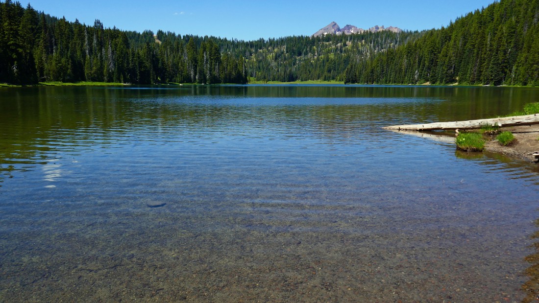
A brief stop at Todd Lake before hiking an eighth of a mile to my car... the trip was 10.5 miles roundtrip, gaining 2744 feet of elevation.
|
