Tumalo Falls Loop - 8.2.2019
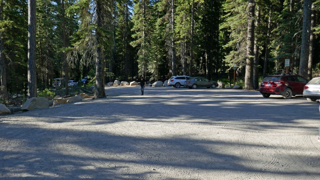
Tumalo Falls is located ~12 miles west of Bend, Oregon... there is a large parking area for this very popular hike, but it fills up fast... we arrived at 8:00am and there were 10 cars... we returned at 1:30pm to 57 cars... and it was a Friday.
|
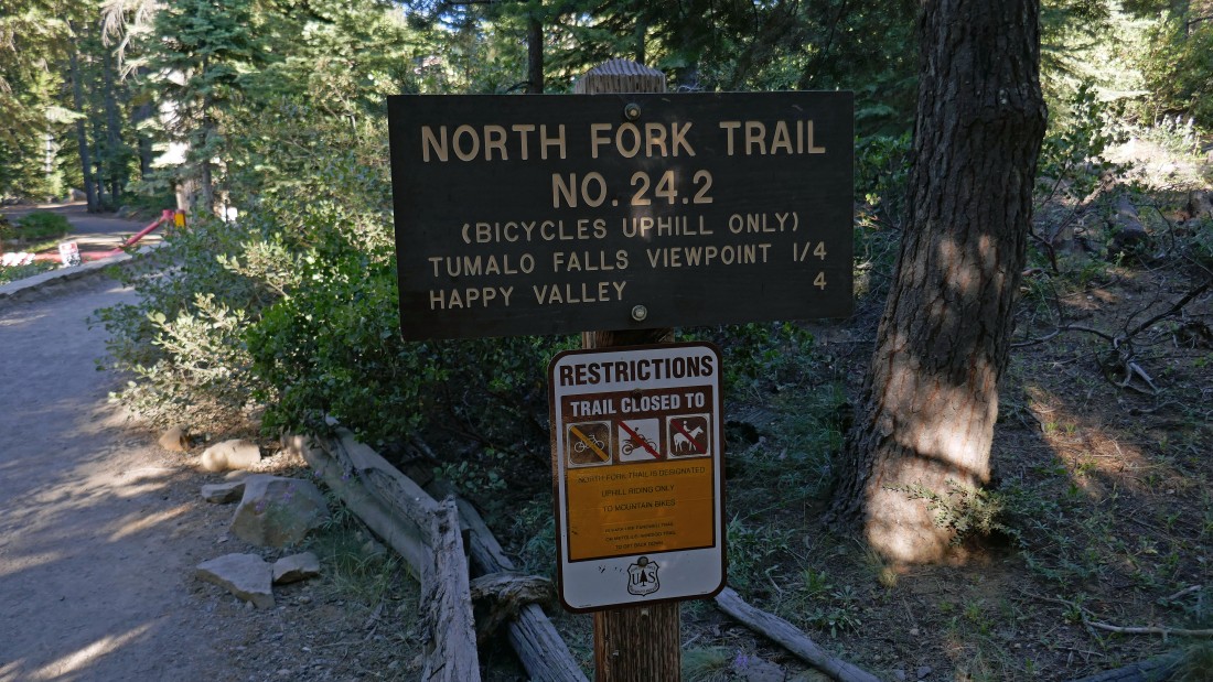
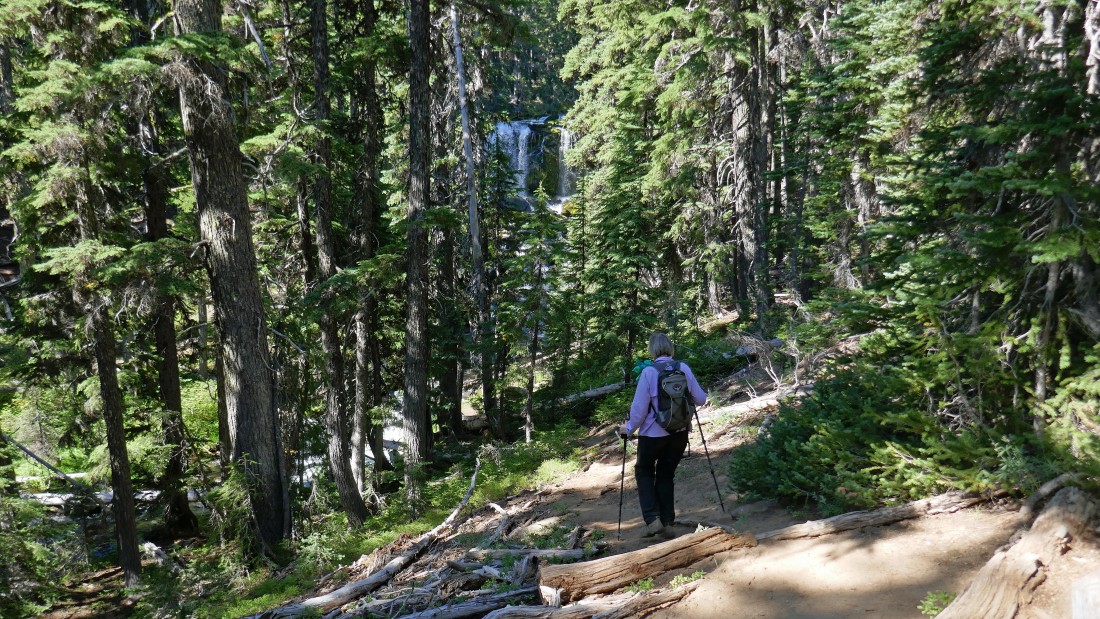
We started hiking on North Fork Trail #24.2.
|
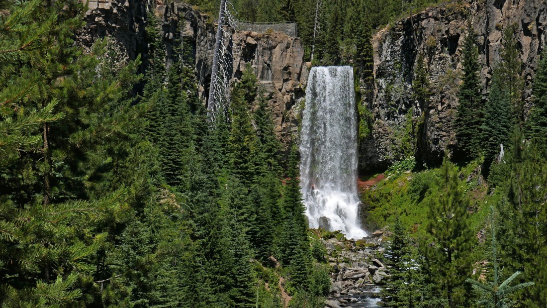
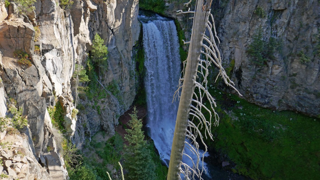
Most people who come here probably only make the quarter mile hike up to the viewing platform at the top of the photo... Tumalo Falls drops 97 feet.
|
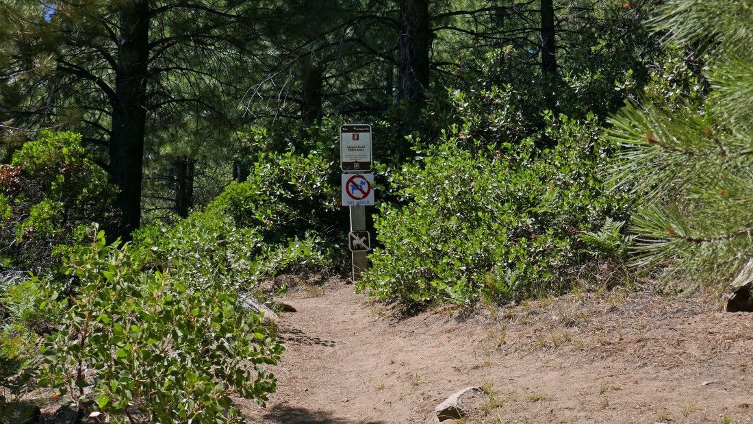
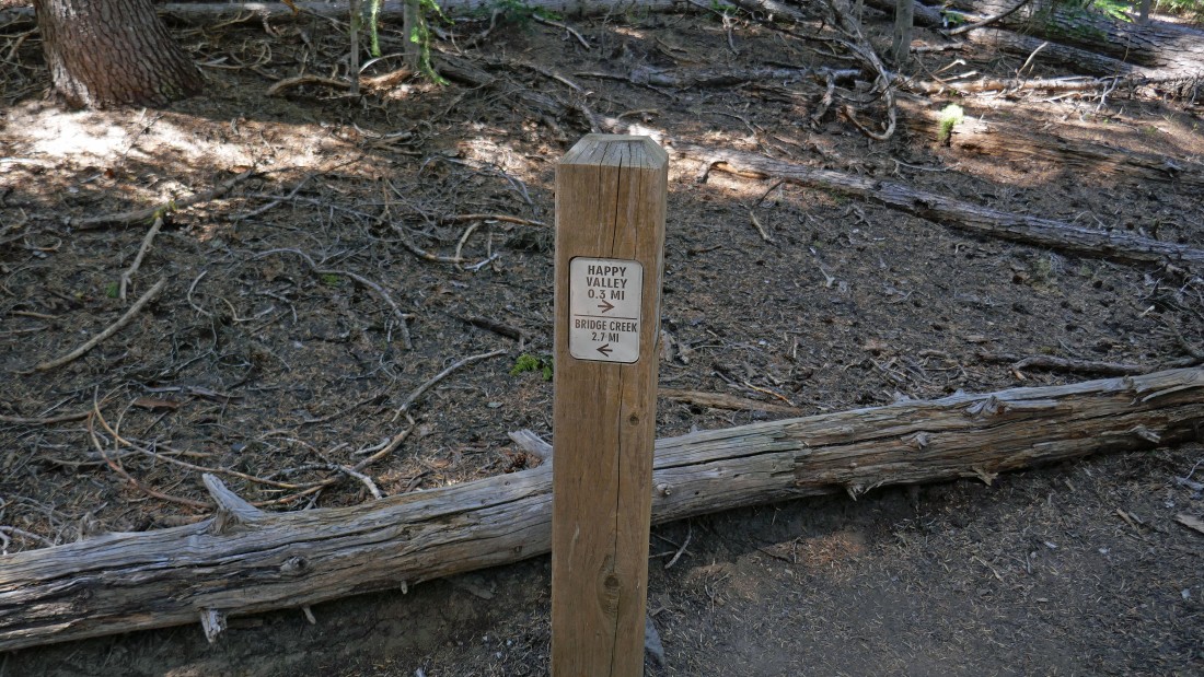
Before we got up to the Tumalo Falls viewing platform we passed by this path/trail going off to our left... the signs didn't give much information and we didn't think much about it... however, we finished up our loop hike here at the end of the day.
|
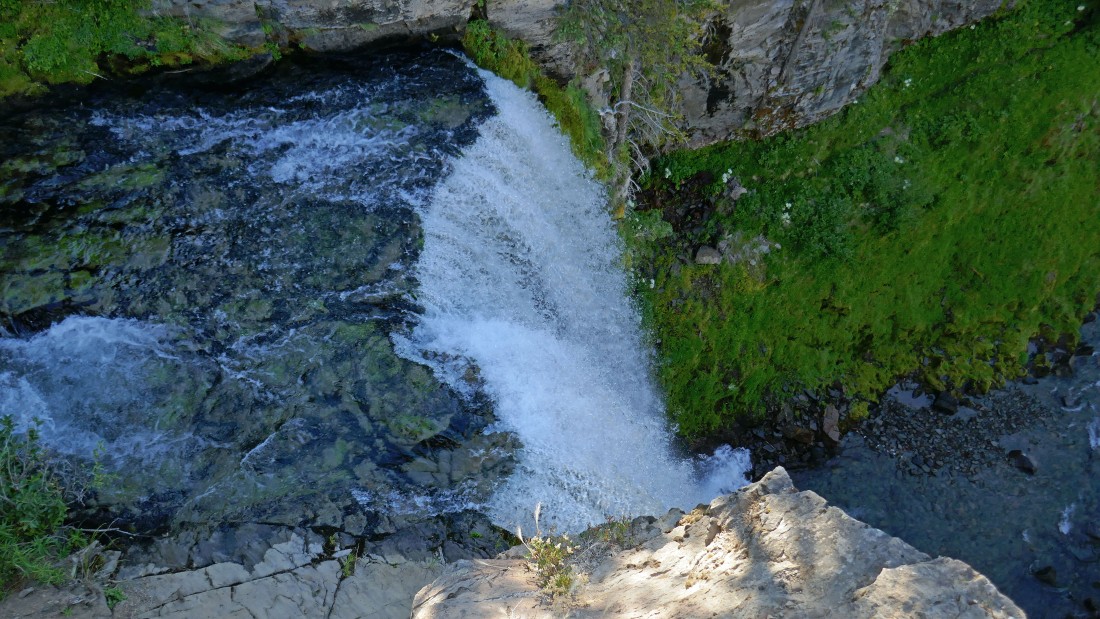
Almost up to the viewing platform... a pretty impressive waterfall.
|
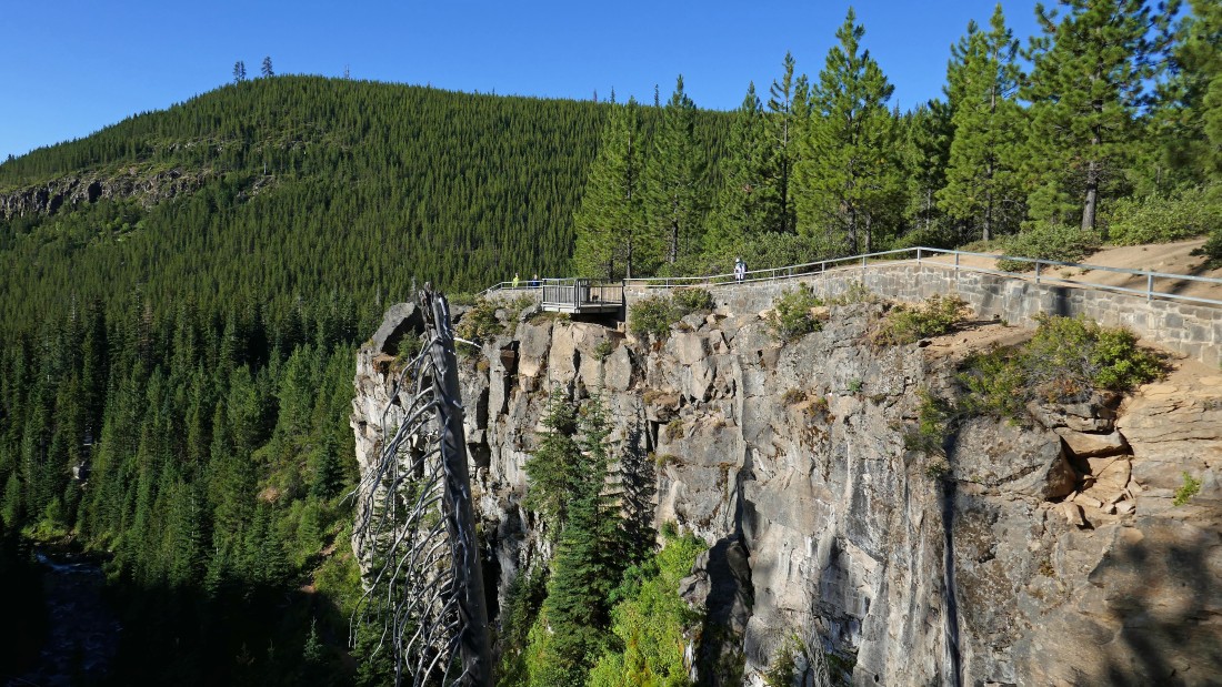
Looking back at Denali Girl at the viewing platform.
|
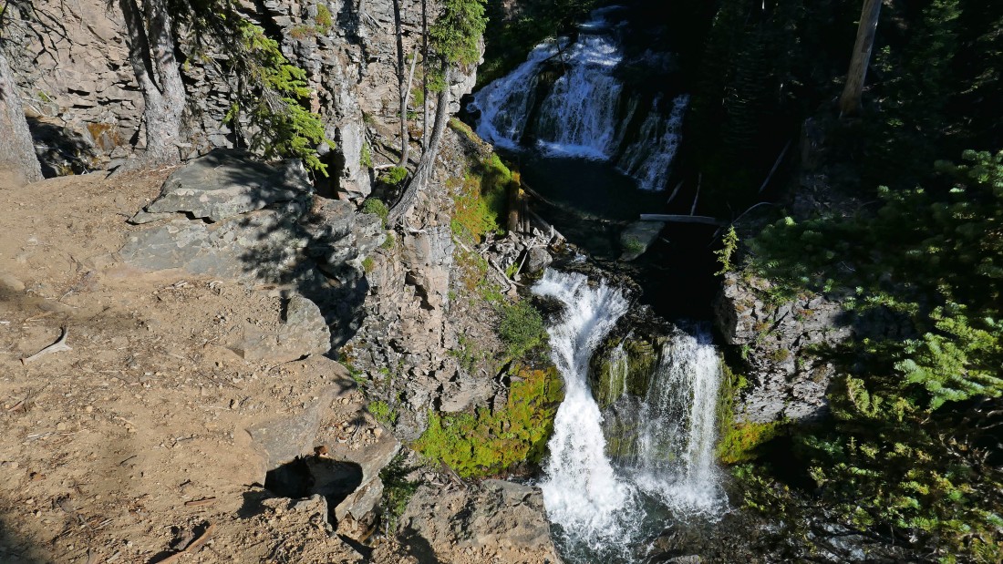
Looking directly down on Tumalo Falls.
|
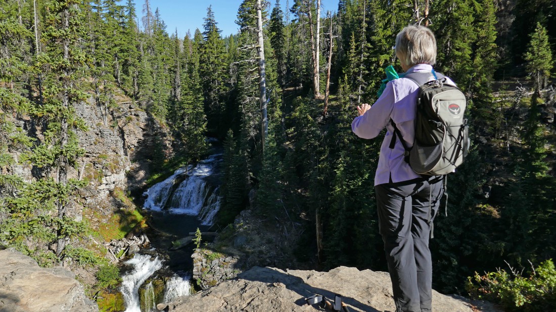
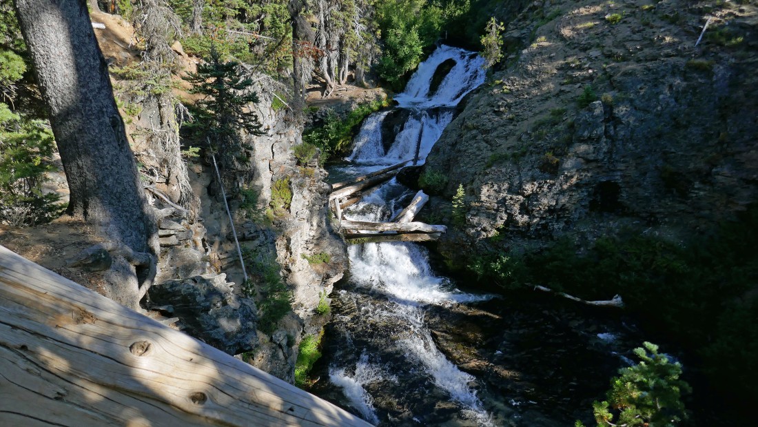
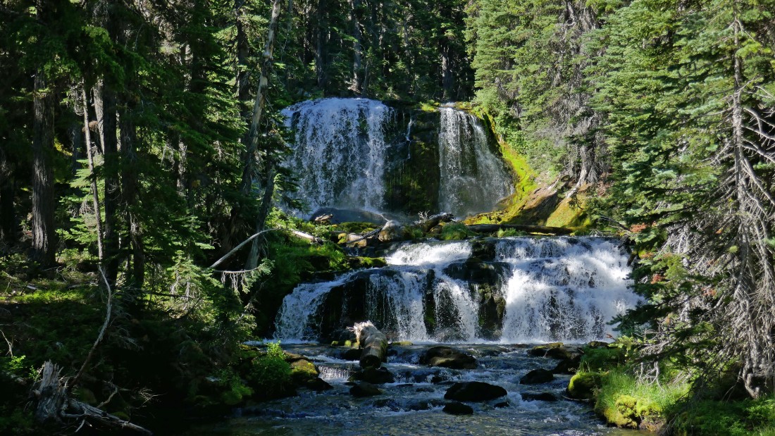
After hiking a little more than a mile we arrived at a nice view of Double Falls.
|
A closer look at Double Falls.
|
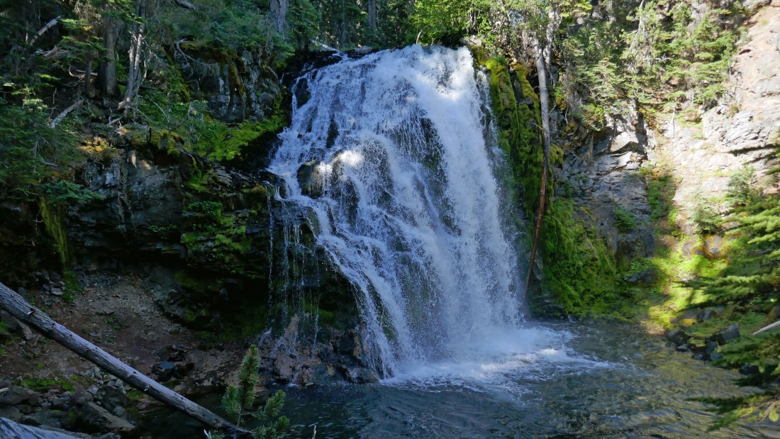
Just beyond Double Falls is what I might call Triple Falls... but it is unnamed.
|
After hiking 2.2 miles we reached what I called Downhill Falls because we had to give up 70 feet of elevation by scrambling down off trail to get a good view of it... at least one map I've seen refers to it as Upper Tumalo Falls.
|
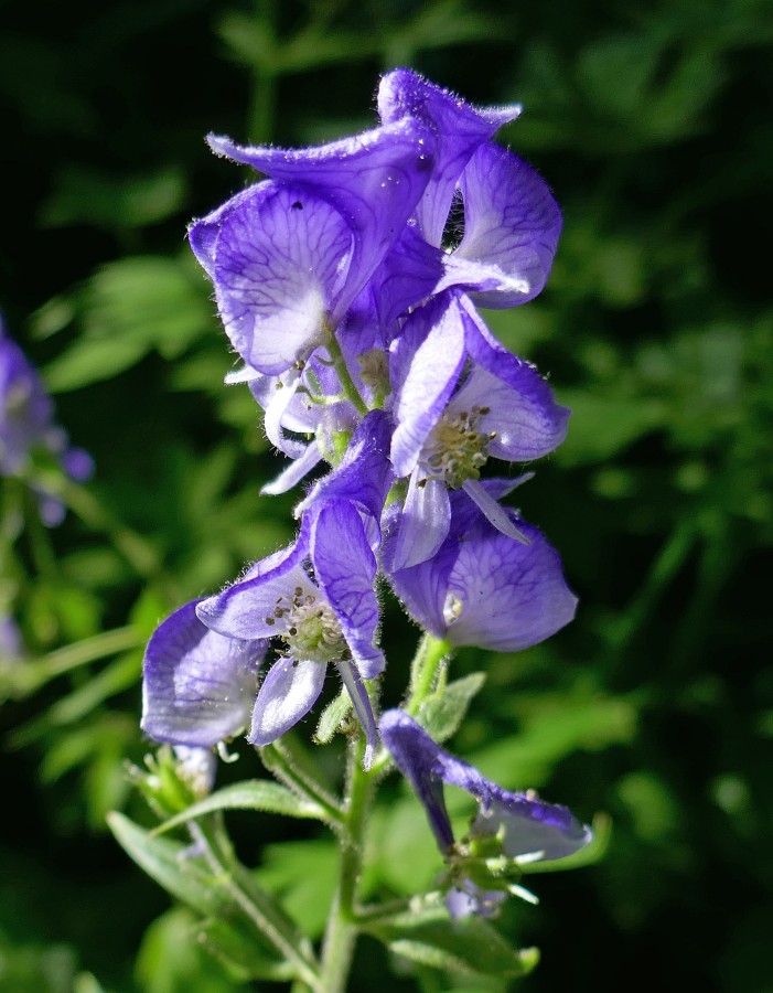
Monkshood.
|
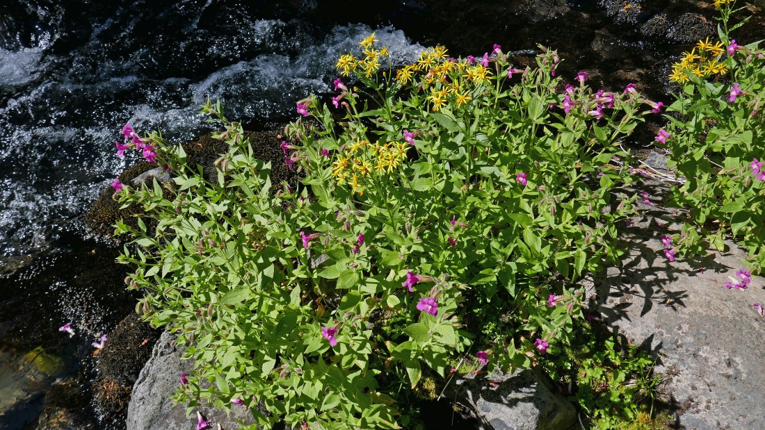
The pink ones are monkey flowers... and the yellow ones are Tansy Ragwort.
|
After hiking a total of 3.5 miles we took a side path over to check out what I ended up calling Triplets Falls.
|
Triplets Falls.
|
After hiking a total of 4 miles we reached the trail junction of North Fork Trail 24.2 and Swampy Lakes Trail #23... we will go left (south) and take Swampy Lakes Trail #23 to where it junctions with Bridge Creek Trail #24.
|
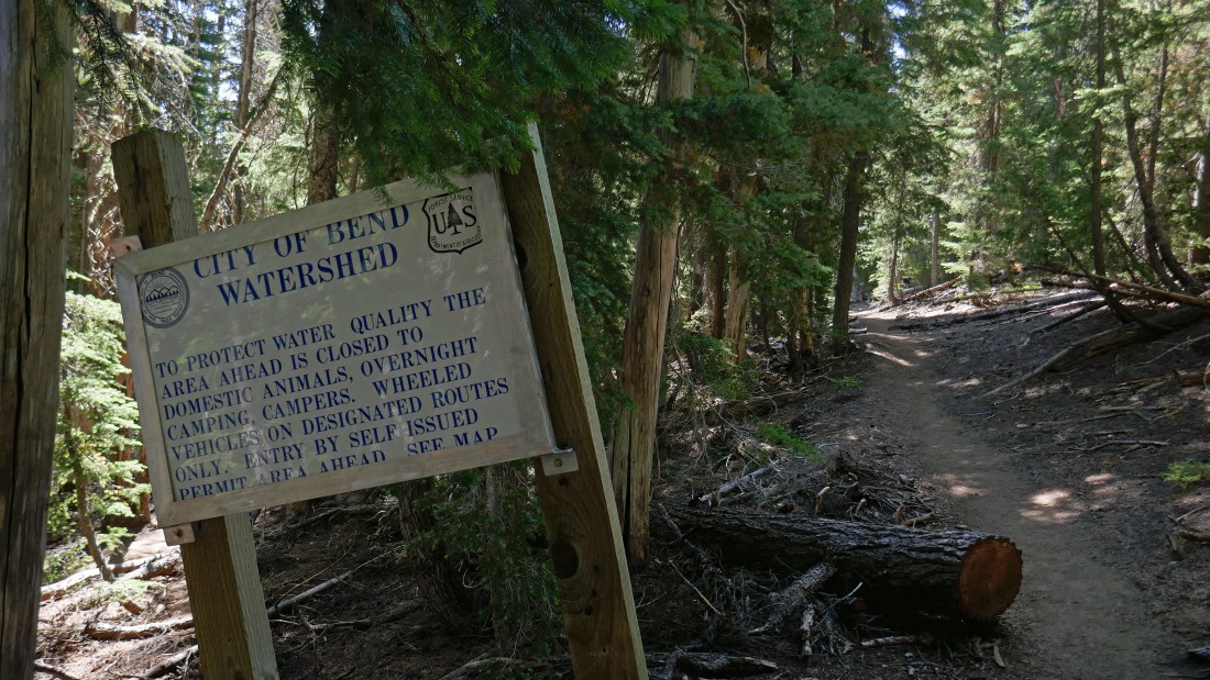
Shortly after hiking on Swampy Lakes Trail #23 we crossed into the Bend Watershed.
|
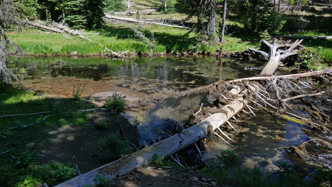
Less than a half-mile of hiking on the Swampy Lakes Trail we needed to get across the Middle Fork of Tumalo Creek... but the log crossing seemed kind of dangerous...
|
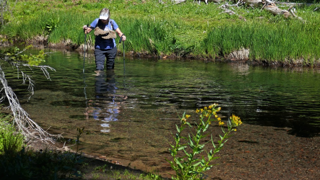
So... we waded across the creek... knee deep at the deepest point.
|
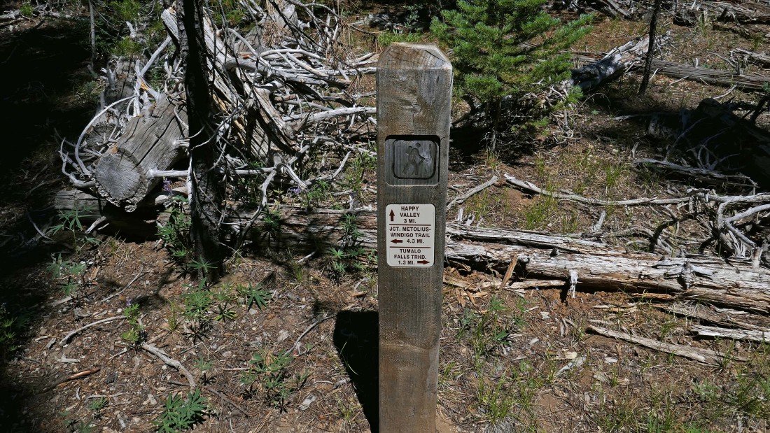
After hiking a total of 6.6 miles we have reached the junction of Swampy Lakes Trail #23 and Bridge Creek Trail #24... we will follow the Bridge Creek Trail for 1.3 miles back to the car... our loop hike was 7.9 miles, gaining 1743 feet of elevation.
|
