South Sister - 8.8.2019
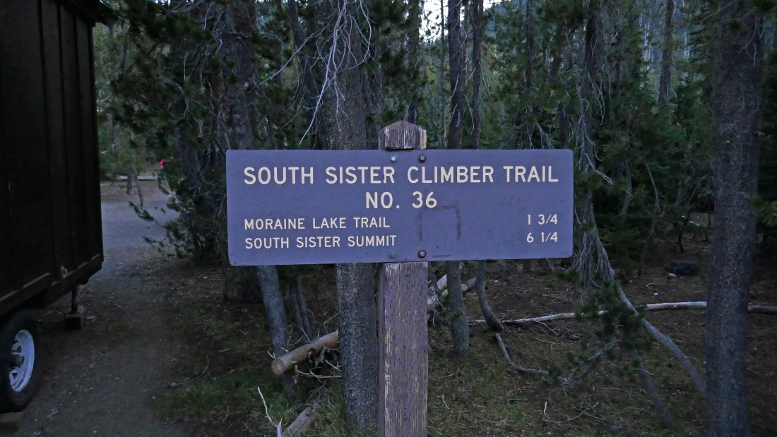
We left a car at the Green Lakes Trailhead... then drove a second car to Devils Lake (~5500') and started hiking on South Sister Climber Trail #36.
|
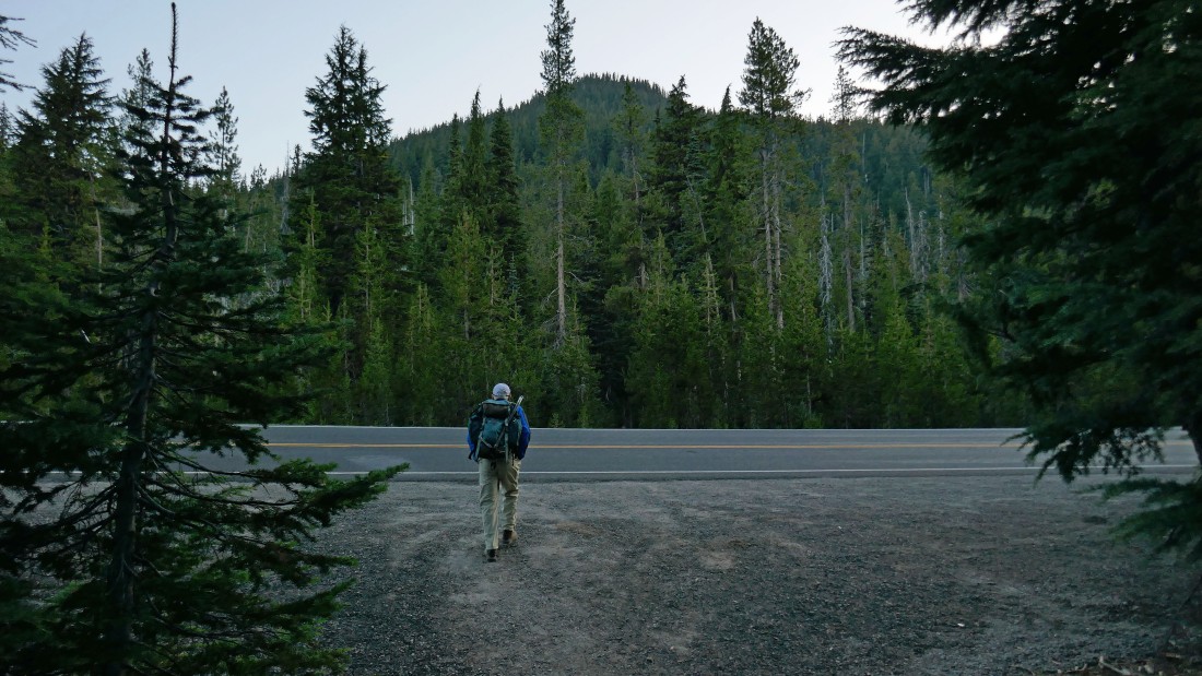
Crossing Cascade Lakes Highway after hiking less than an eighth of a mile.
|
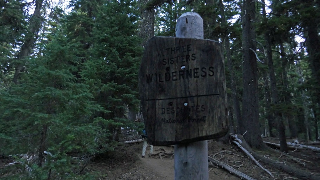
Entering Three Sister Wilderness shortly after crossing Cascade Lakes Highway.
|
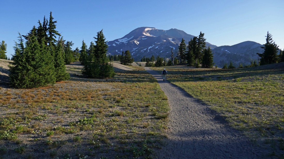
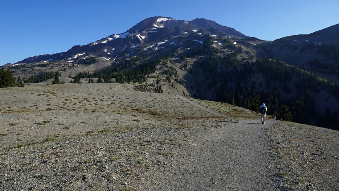
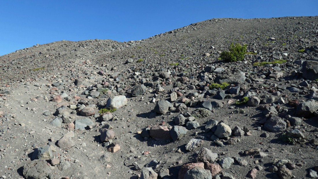
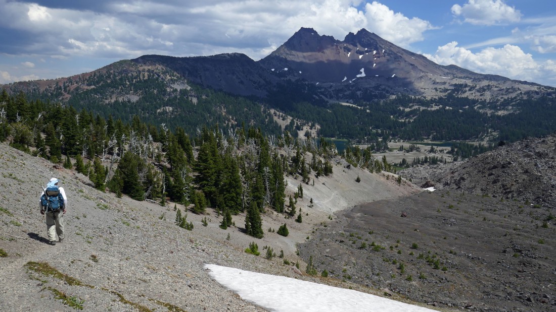
After hiking a little more than two miles (~6680') we got our first good look at South Sister.
|
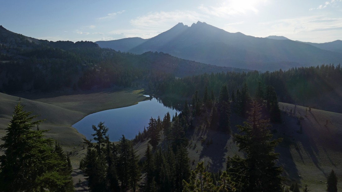
Continuing above Moraine Lake and looking out to Broken Top.
|
On the way to South Sister... there is more than a half-mile of fairly flat terrain as we hiked above Moraine Lake.
|
Looking back at the half-mile of flat terrain... Devils Hill in the foreground... with Mt. Bachelor in the distance on the left.
|
Continuing on our way to South Sister.
|
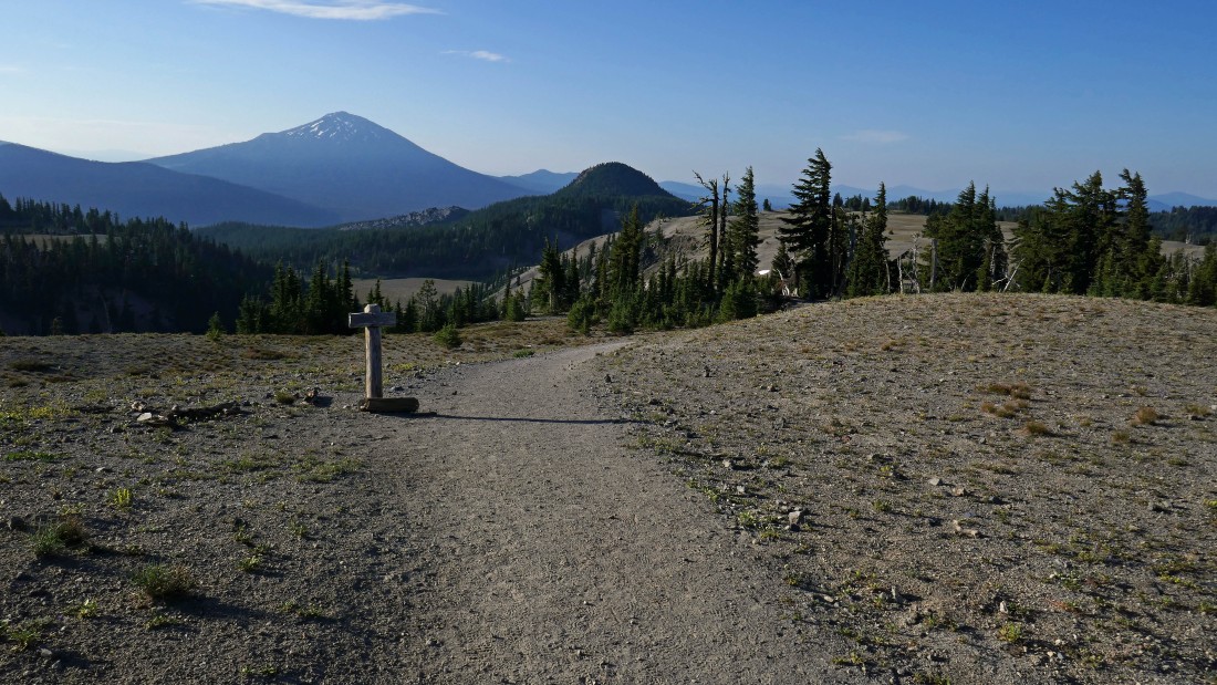
Looking south as we gain elevation on South Sister... the Rock Mesa Lava Flow and Wickiup Plain are in the right foreground... Bachelor is left-center... low clouds to the west on the right.
|
Continuing up South Sister.
|
Thousands do this hike every year.
|
Broader views to the south with every step higher... Broken Top on the left... Bachelor on the right.
|
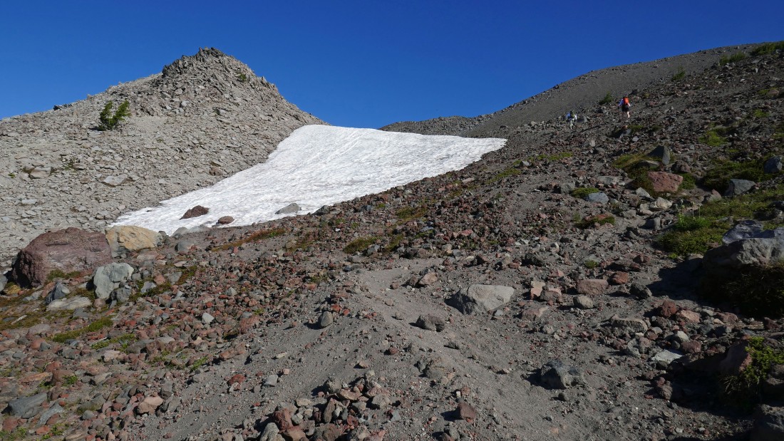
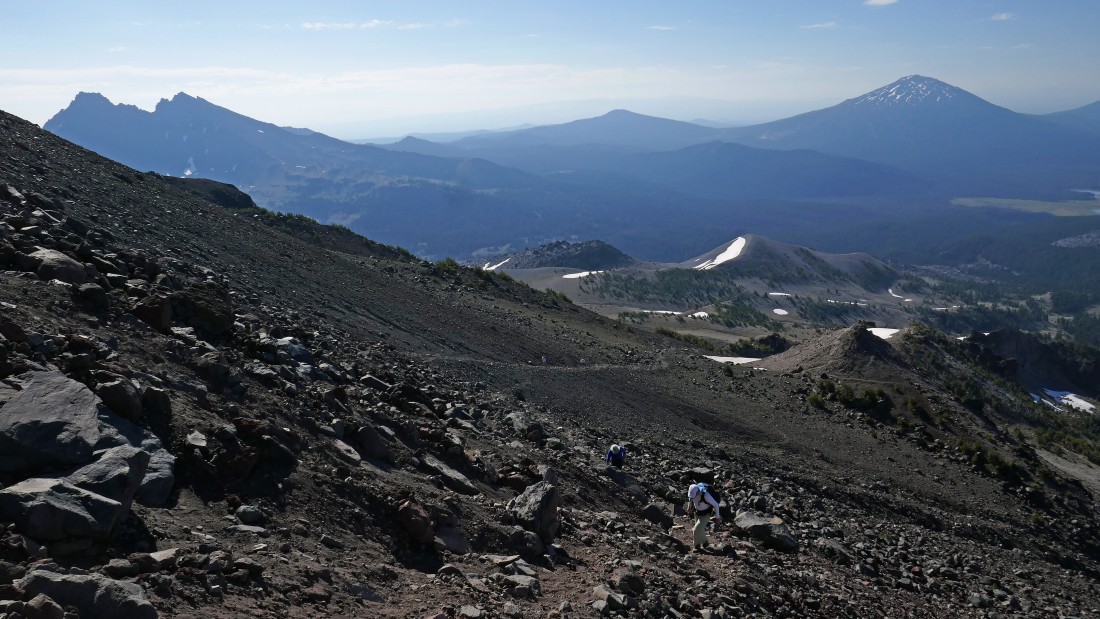
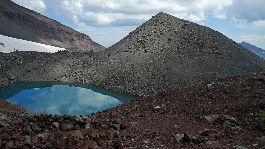
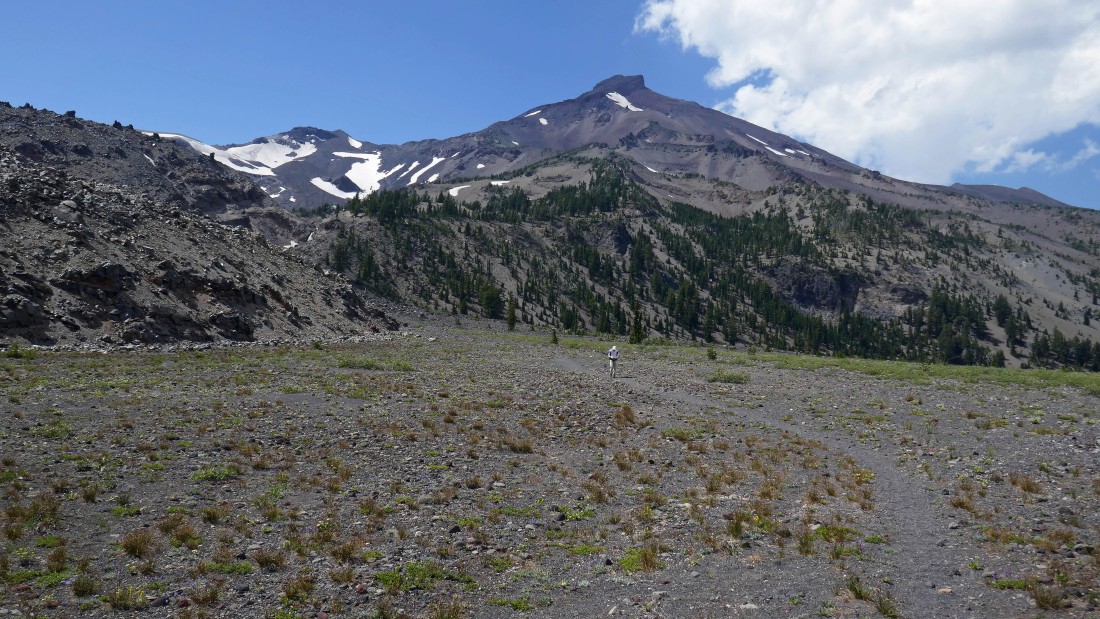
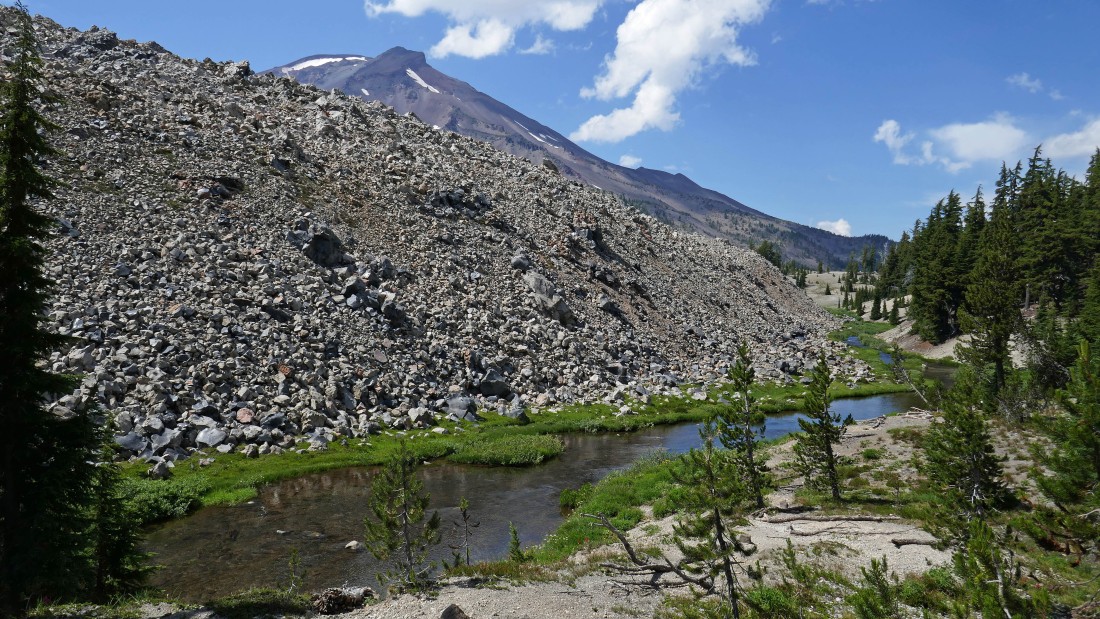
After hiking a total of 5 miles we have reached the 8800 foot tarn at the base of the Lewis Glacier... another 1500 feet of elevation gain will put us on the summit.
|
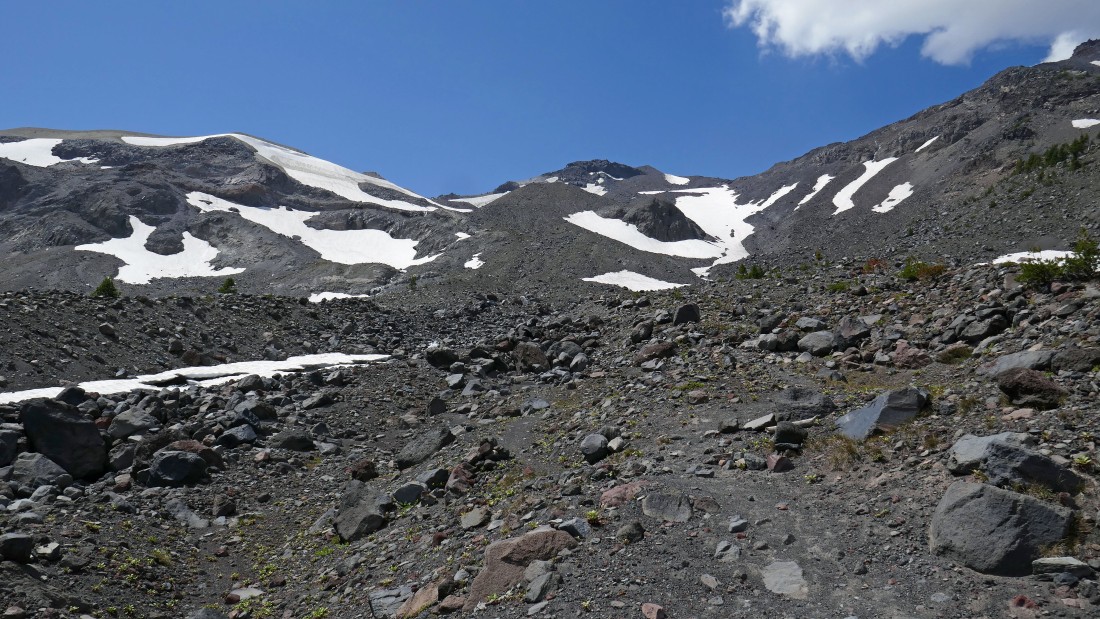
Heading for the summit on a well defined path.
|
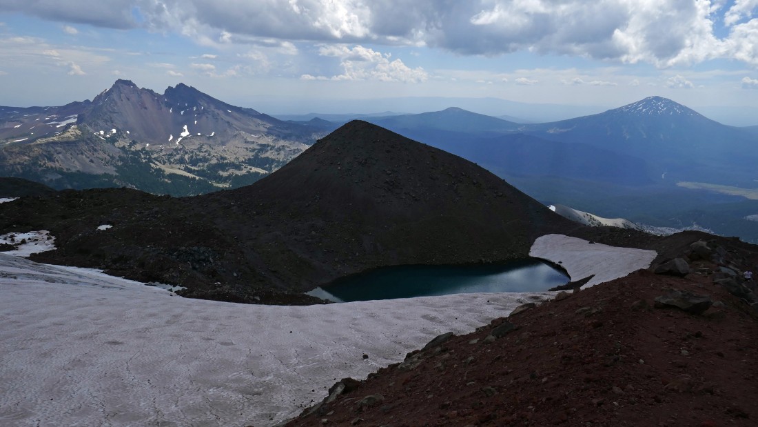
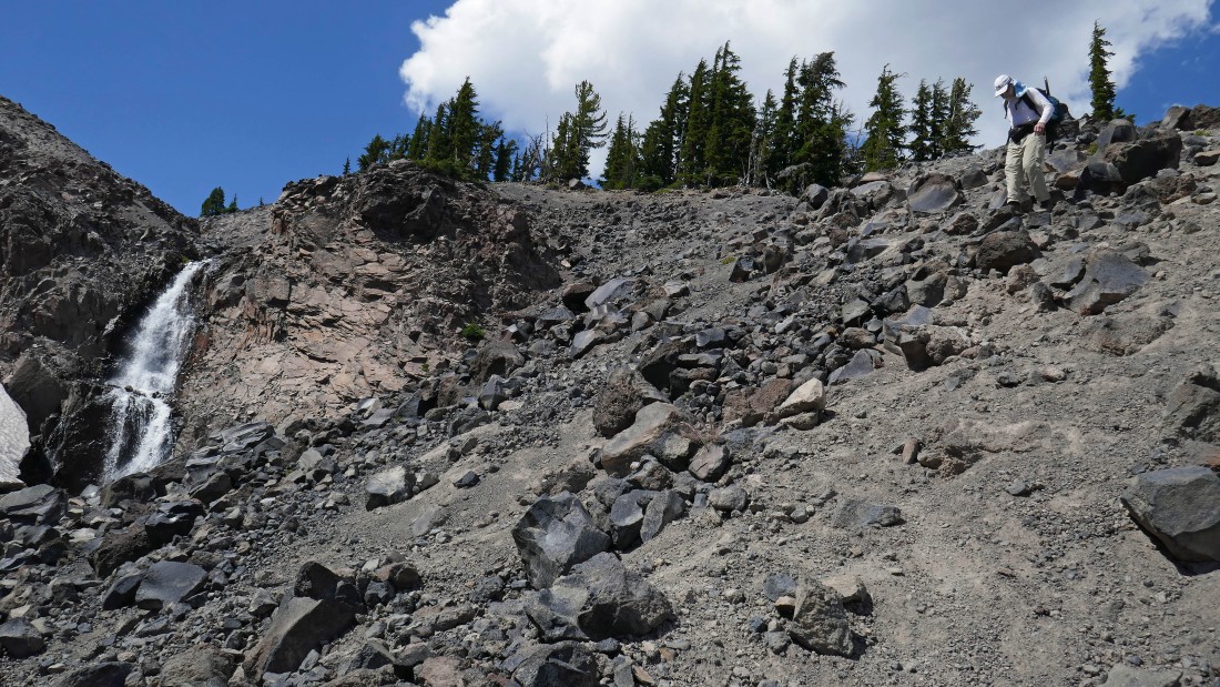
Gaining elevation along side the Lewis Glacier... looking down on the 8800 foot tarn and beyond to Broken Top.
|
|
Continuing for the summit of South Sister.
|
Up and up.
|
Looking south.
|
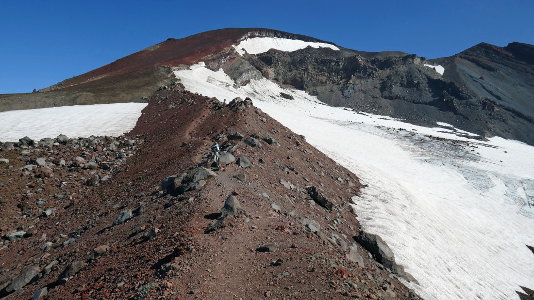
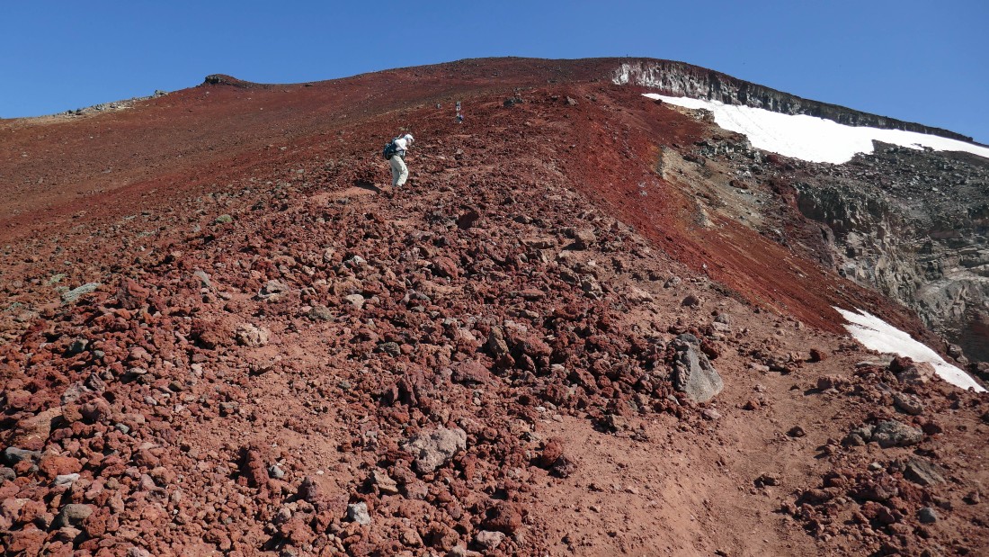
Almost at the South Sister crater rim.
|
After hiking a total of 5.8 miles we have reached the crater rim (~10,180')... the summit is over there in the center of the photo.
|
|
We will hike around the crater rim in a counter clockwise direction.
|
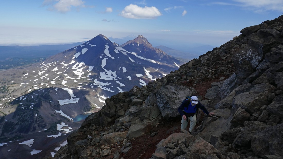
rocman is getting close to the summit.
|
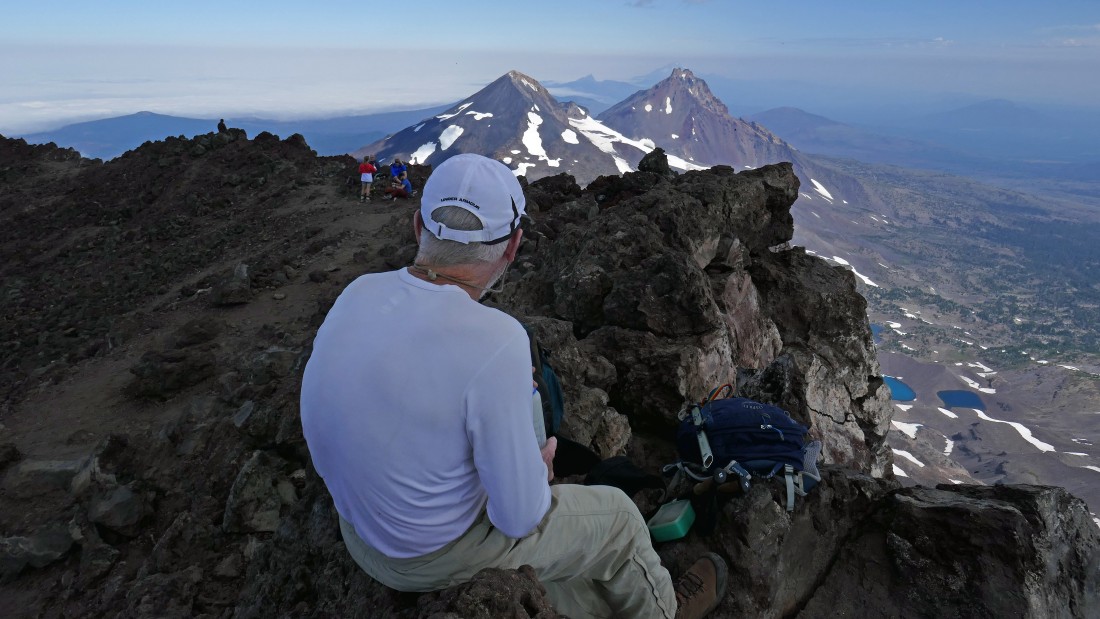
rocman is on the summit (10,358')... checking out Middle Sister and North Sister.
|
Looking down on Chambers Lakes... with Middle Sister and North Sister in the foreground... Three Fingered Jack and Mt. Jefferson are visible between the two sisters.
|
Continuing around the crater rim from the summit... The Husband is in the distance on the right.
|

Roommates at the University of Washington... back when a person didn't have to have good grades to enroll.
|
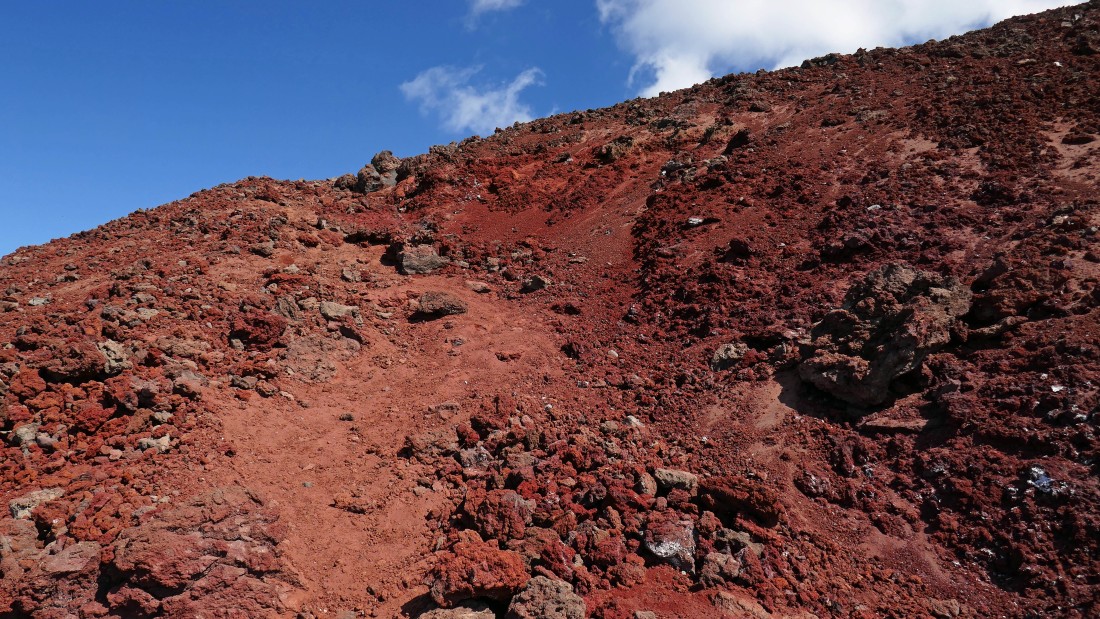
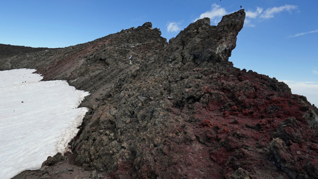
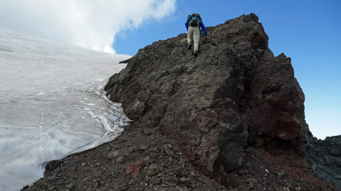
A little bit of easy scrambling is needed when going around the crater rim.
|

Continuing around the crater rim.
|
Continuing around the crater rim.
|
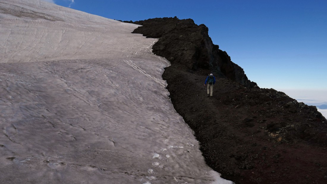
Continuing around the crater rim... the solid rock seemed like a better choice than the snow here.
|
|
Looking back at the summit area as we continue around the crater rim.
|
Finishing up the .9 mile hike around the crater rim... Tumalo Mountain and Mt. Bachelor are on the horizon... clouds are building.
|

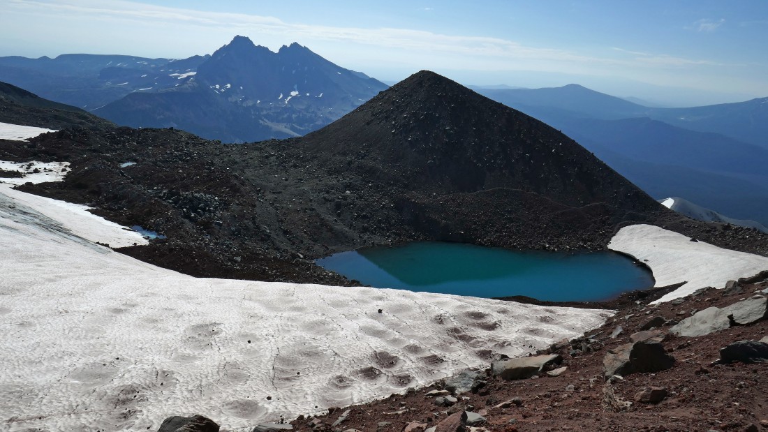
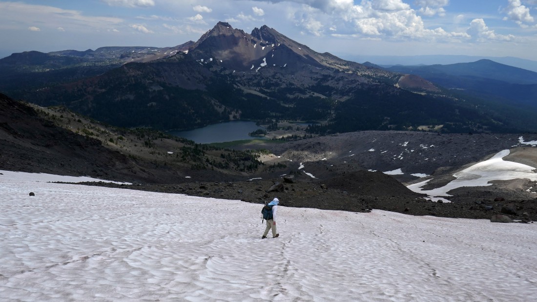
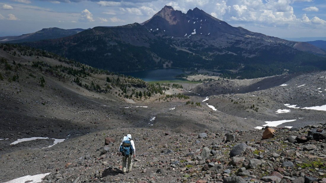
Time to head back down to the 8800 foot tarn... Broken Top, Tumalo Mountain and Mt. Bachelor on the horizon... Moraine Lake is in the far right foreground... with Sparks Lake to the right of Bachelor.
|
Almost back down to the 8800 foot tarn.
|
Back at the tarn... now we will follow the path that goes around the other side of the tarn and head for Green Lakes.
|

Heading for Green Lakes... looks like we are getting ready to step off of a cliff.
|
Now we can see Green Lakes below Broken Top... Mt. Bachelor and Sparks Lake are in the distance on the right.
|

Looking back as we continue down.
|
A little bit of snow work as we descend.
|
The path is obvious, but the terrain is steep and loose.
|
Looking back at our route.
|
Slightly easier terrain now... but still some work left to reach the lakes.
|
So close now.
|
Almost down to some flat terrain.
|
Flat terrain at last.
|
|
After hiking a total of 9.7 miles (2.2 miles from the 8800 foot tarn) we have reached the outlet (~6550') to the largest of the Green Lakes and the beginning of Fall Creek.
|
Now on Green Lakes Trail #17 which we will follow back to our first car... here we are looking beyond the Newberry Lava Flow to South Sister.
|

A beautiful wildflower show along this short section of Fall Creek... Paintbrush (red) and Tansy Ragwort (yellow).
|
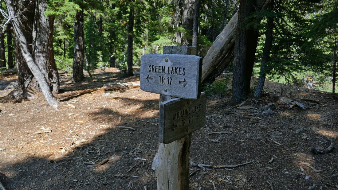
After hiking a total of 12.4 miles we have reached the junction of Green Lakes Trail #17 and Moraine Lake Trail #17.1.
|
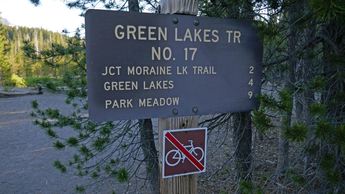
Ta-da... after hiking a total of 14.6 miles we have finished our hike at the trailhead for Green Lakes... whew... time to get in our car and drive back to Devils Lake to retrieve our other car after gaining 5146 feet of elevation.
|
