No Name Lake and Broken Hand West - 8.17.2019
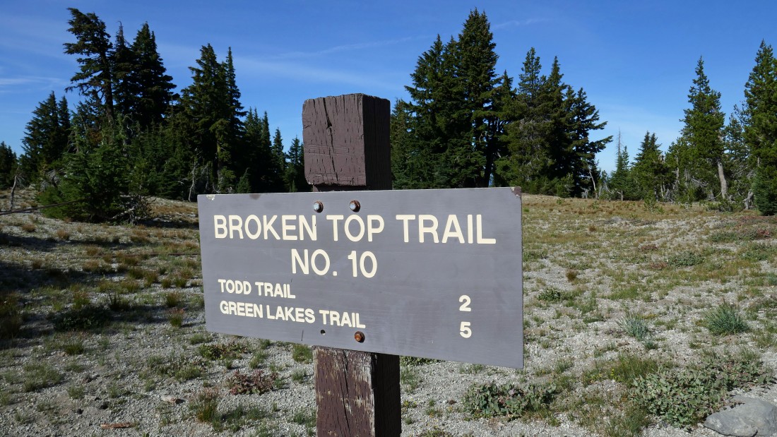
The trailhead (~7200') for Broken Top Trail #10 is located at the end of a very rugged, 1.1 mile long Road 4600-380... and Road 4600-370 is a very rugged 4.1 mile drive just to get to 4600-380.
|
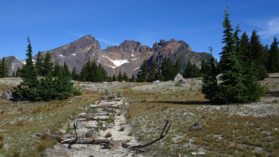
Broken Top from near the parking area.
|
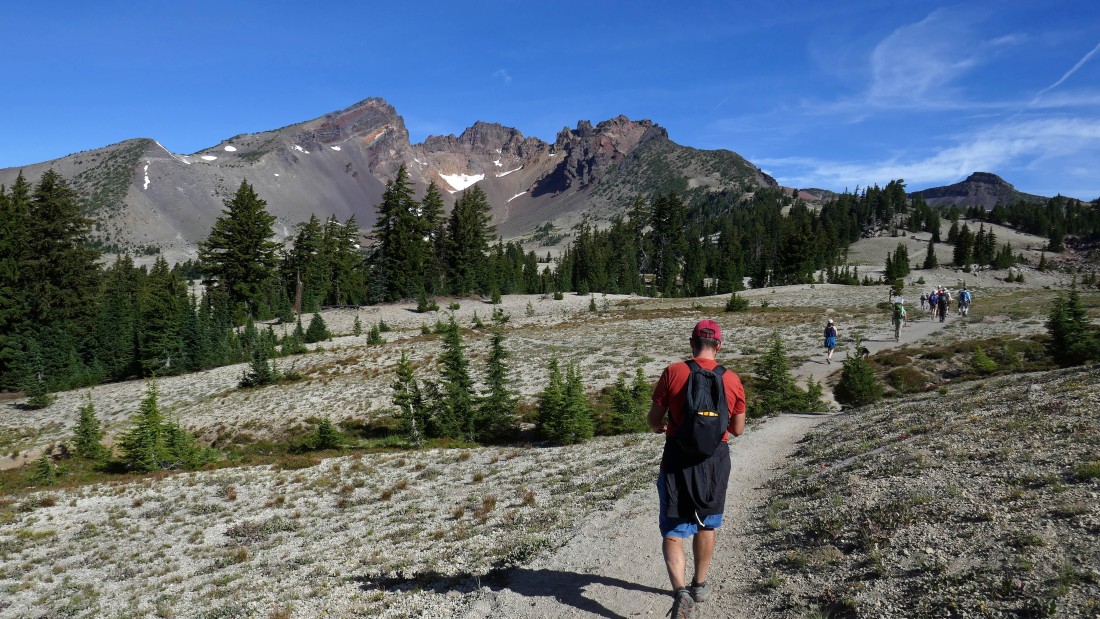
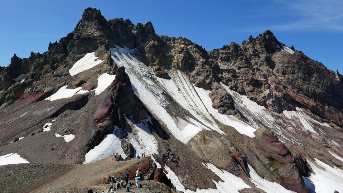
This very popular hike is located in the Three Sisters Wilderness... Broken Hand is on the far right horizon... we are heading for No Name Lake which is located between Broken Top and Broken Hand.
|
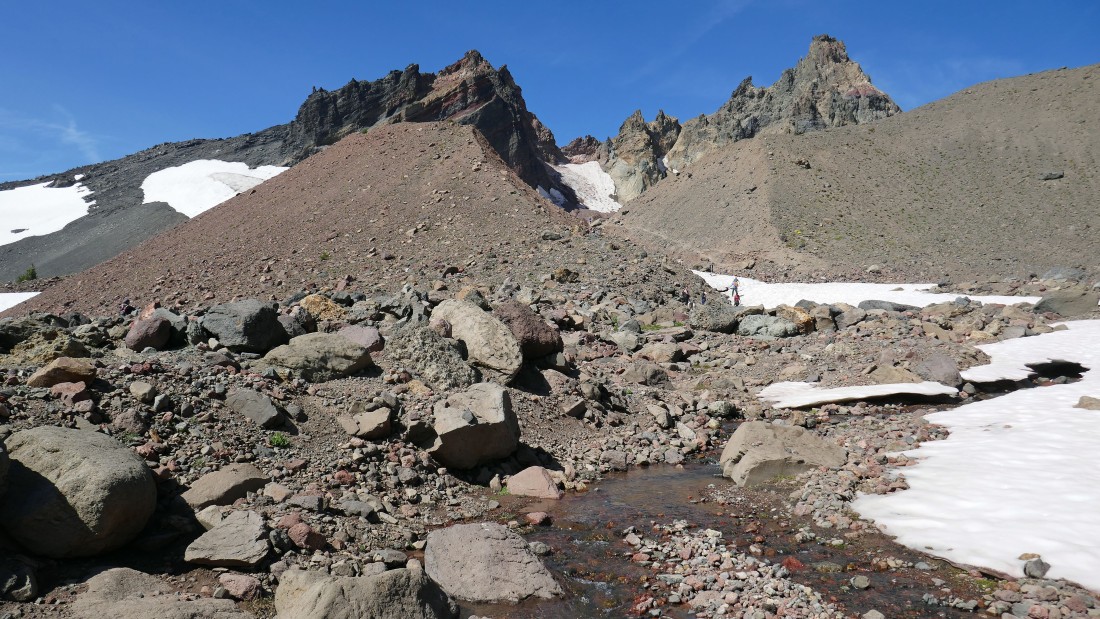
Gaining elevation on our way to No Name Lake.
|
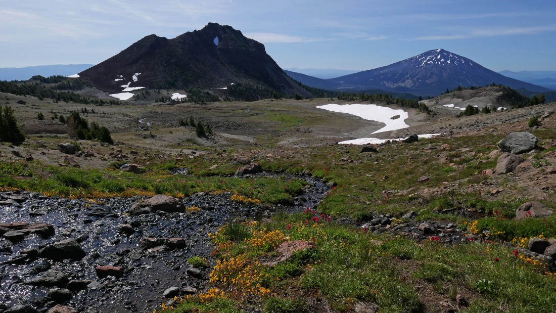
Looking back at Ball Butte in the left foreground and Mt. Bachelor as we head for No Name Lake.
|
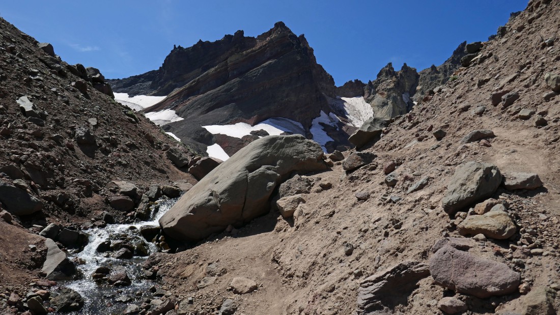
No Name Lake is on the east shoulder of Broken Top... and we will follow the stream that is coming out of the lake.
|
Almost at No Name Lake.
|
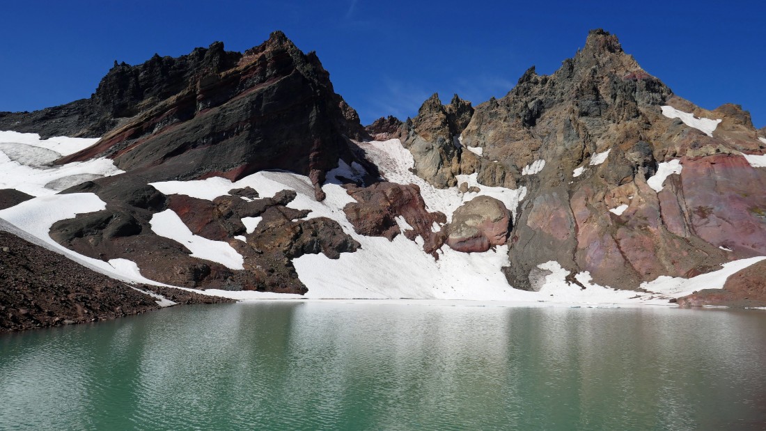
Oh my!.. words cannot describe.
|
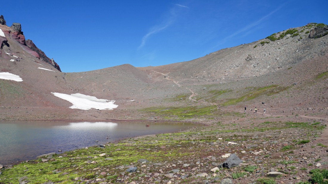
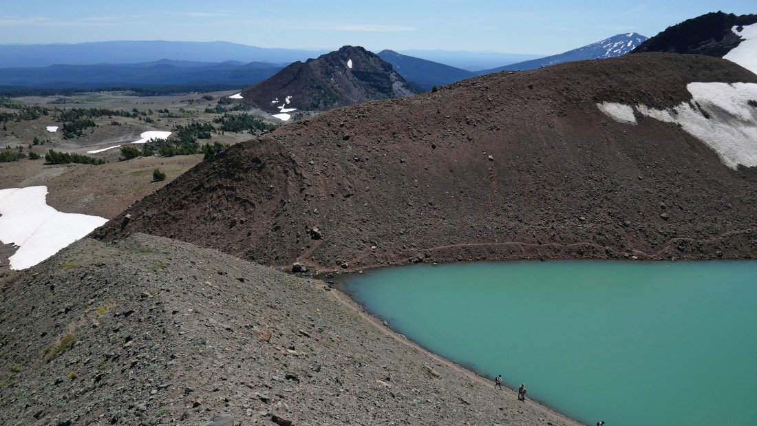
Continuing around the east shoreline of No Name Lake and heading for the ridge above... Broken Hand West is up there on the far right.
|
On the ridge (~8100') above No Name Lake... looking beyond the Bend Glacier to the Three Sisters... with Mt. Washington, Three Fingered Jack, Mt. Jefferson and Mt. Hood also visible.
|
|
Continuing along the ridge to Broken Hand West... looking down on No Name Lake... Ball Butte and Tumalo Mountain are in the distance beyond the lake.
|
Broken Top and South Sister as we continue along the ridge leading to Broken Hand West.
|
Broken Top from the ridge leading to Broken Hand West.
|
Broken Top from the ridge leading to Broken Hand West.
|
Broken Top and Three Sisters from the summit (8388') of Broken Hand West.
|
|
Broken Top and No Name Lake from the summit of Broken Hand West.
|
We will go up and over this mound in the foreground and follow it back to the outlet for No Name Lake... Ball Butte in the distance on the far left.
|
Heading down to the outlet of No Name Lake... where we will pick up the main trail that we used on our way up to the lake and follow it back to the car.
|

Beautiful wildflowers along this route.
|

A beautiful stream that originates from No Name Lake... it eventually flows into Crater Creek Ditch... Mt. Bachelor in the distance... less than 1.5 miles will get us back to the car... the hike was 5.6 miles roundtrip, gaining 1800 feet of elevation.
|
