Smith Rock Loop - 8.19.2019
|
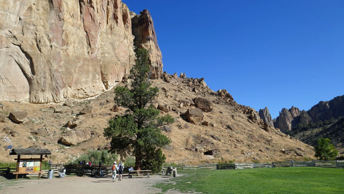
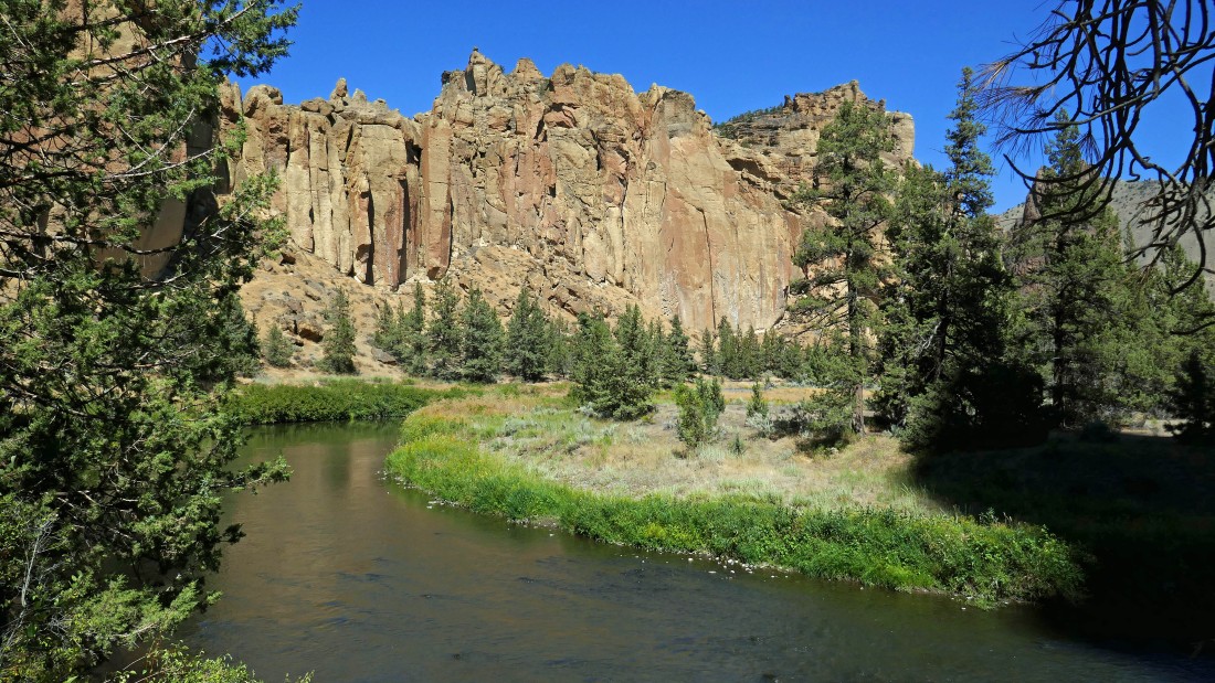
Smith Rock State Park is located in the town of Terrebonne, Oregon... this photo was taken from the large parking area... the Smith Rock Group is on the far left... the Picnic Lunch Wall is in the foreground with Shiprock the dark brown formation in the left foreground.
|
From the parking area we have given up ~150 feet of elevation and will walk across the bridge over the Crooked River.
|
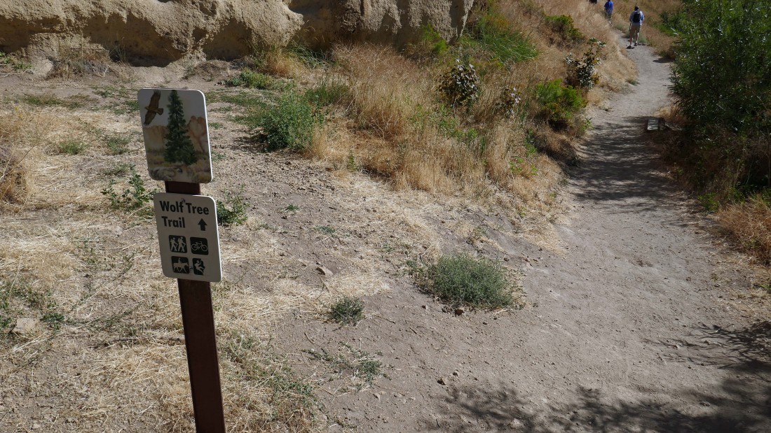
After crossing the bridge we will turn right and take the Wolf Tree Trail... the first of 4 trails that will let us circumnavigate the rock formations in the park.
|
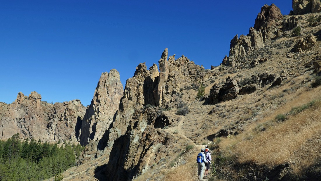
Hiking on the Wolf Tree Trail... heading toward the Monument Area of the park.
|
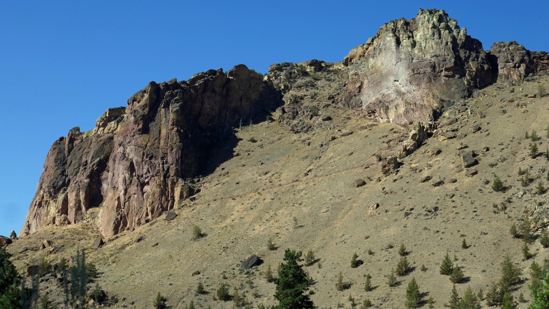
Continuing on the Wolf Tree Trail... looking back at the very popular Misery Ridge Trail which takes hikers up above the Picnic Lunch Wall to a nice view of climbers on Monkey Face.
|
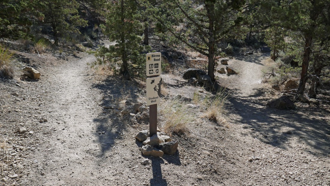
After hiking a mile on the Wolf Tree Trail we will take the Burma Road Trail.
|

Mentzelia Laevicaulis... or for folks like me it is called a 'Giant Blazing Star'.
|
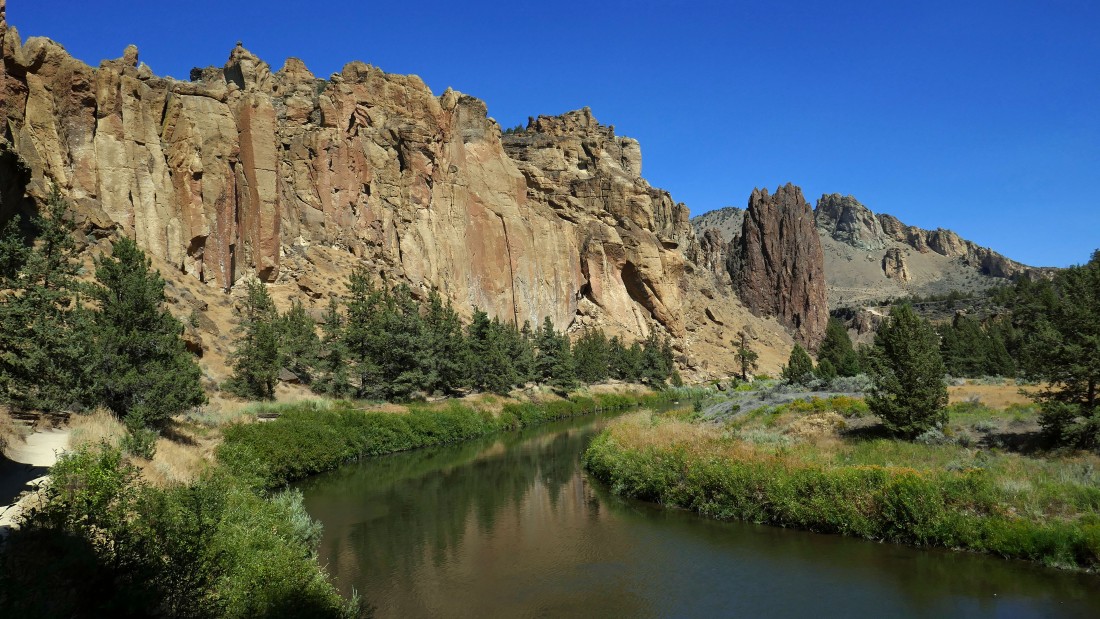
The Burma Road Trail starts to take us above the Crooked River as we look back at the Monument Area of the park.
|
Gaining elevation on the Burma Road Trail as it will temporarily take us out of the park.
|
Almost done gaining elevation on the Burma Road Trail... on the horizon there are views of Bachelor, Broken Top, Three Sisters, Mt. Washington, Black Butte and Three Fingered Jack.
|
|
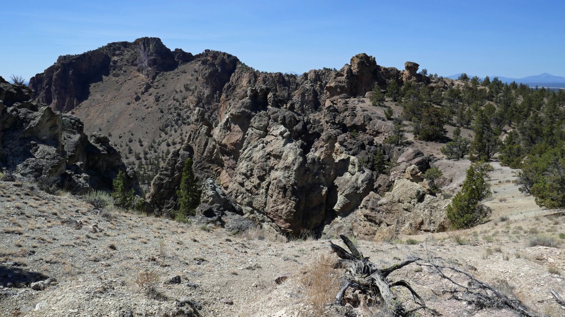
Nearing our high point for the day on the Burma Road Trail.
|
I scrambled up one of the rock formations at our high point and took this pano shot looking across Terrebonne to the Cascade Mountains.
|
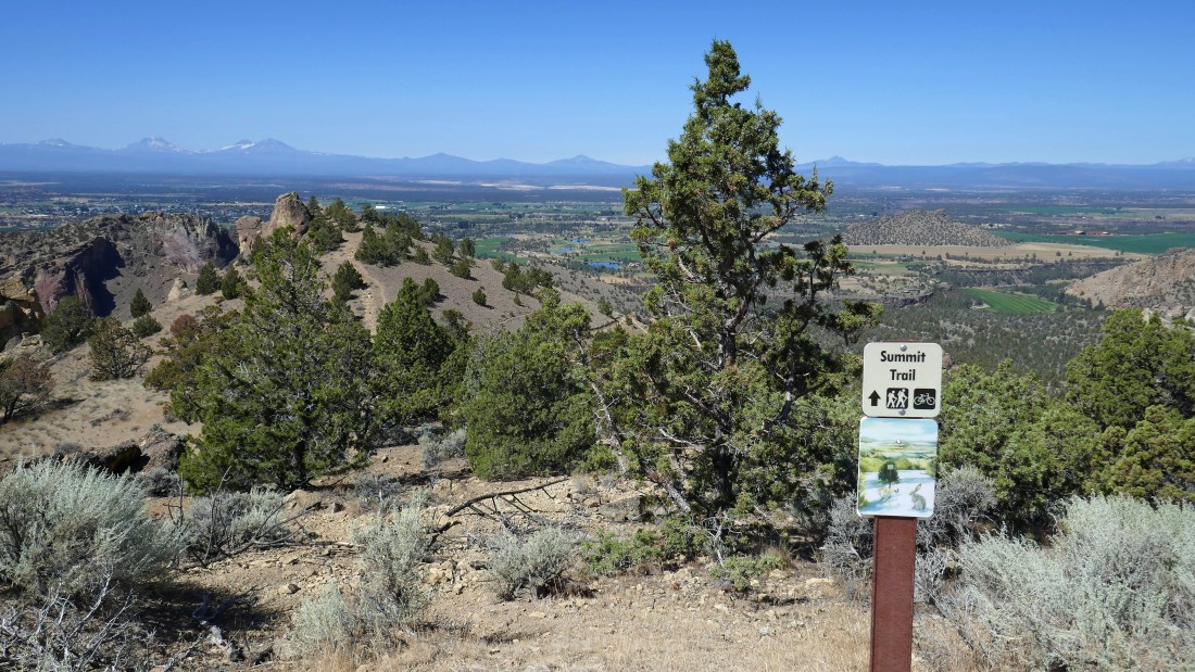
After hiking the Burma Road Trail for a little over a mile we will start hiking on the Summit Trail... the path in the left foreground goes out to French Tent Rock which is currently closed for restoration.
|
Hiking on the Summit Trail as it passes underneath the French Tent Rock.
|
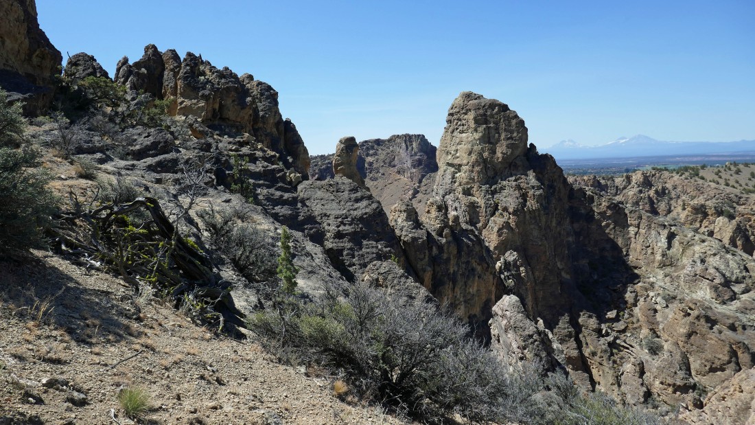
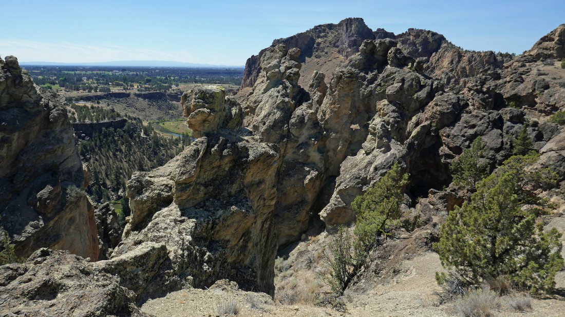
We left the Summit Trail and are staying near the top of the ridge on a climber's path in the Monument Area of the park... if you look in the distance to the left of the Monument, you can see the trail leading up to Misery Ridge... the Three Sisters are on the horizon to the right.
|
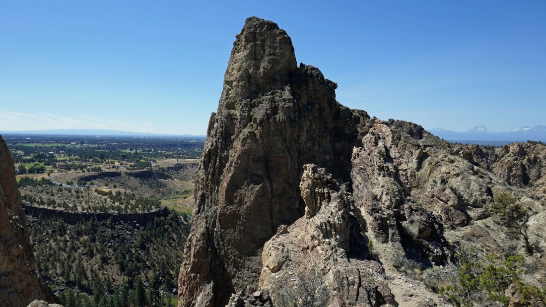
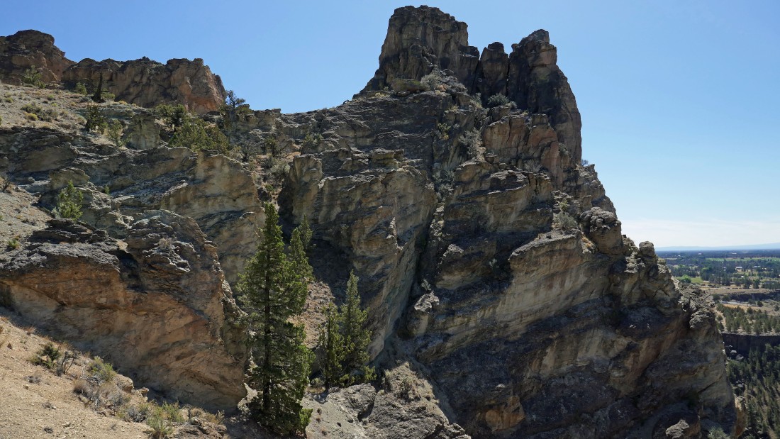
The Monument... which stands out very dramatically in the Monument Area of the park.
|
Denali Girl and BarbE are getting ready to hike out the ramp that leads out and up to The Monument.
|
We weren't able to get on top of The Monument, but we did get this view of the ridge leading over to Misery Ridge in the left foreground.
|
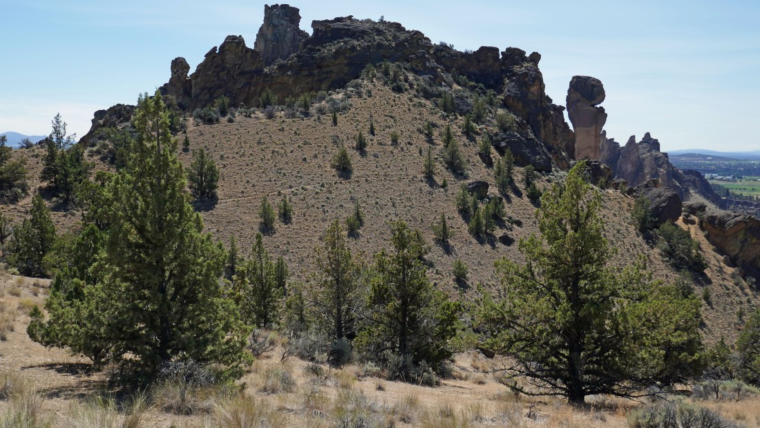
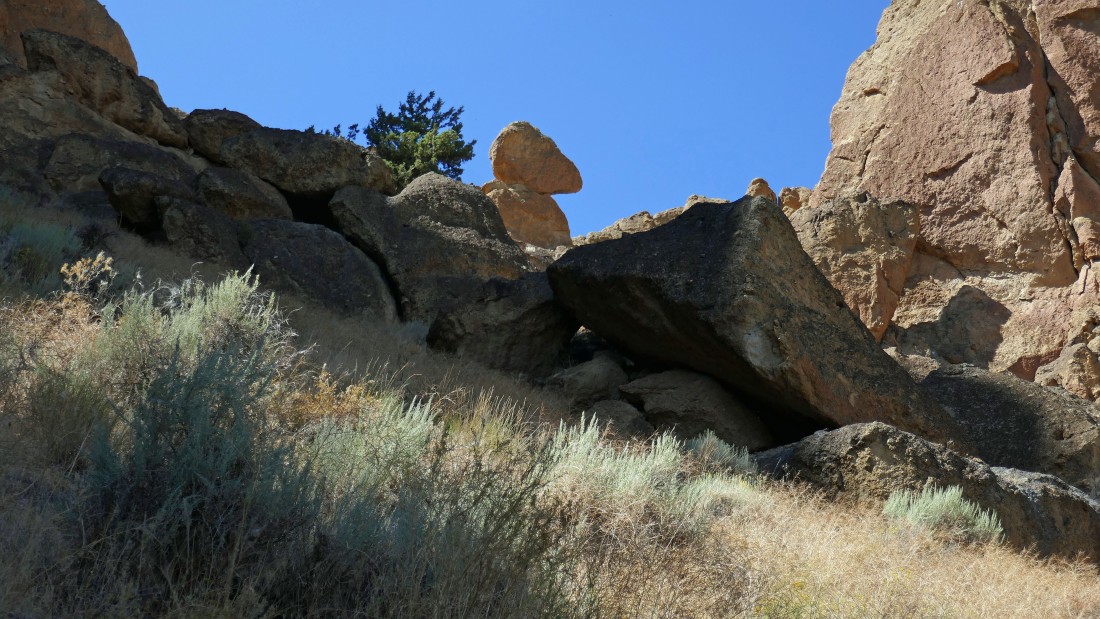
Leaving The Monument and heading over to a rock formation on the right that looks like a toadstool... Misery Ridge on the left.
|
Continuing along the ridge... looking at Misery Ridge.
|
Looking back at The Monument.
|
Continuing for the toadstool on the far right... The Monument is on the far left... with Misery Ridge in the right-center.
|
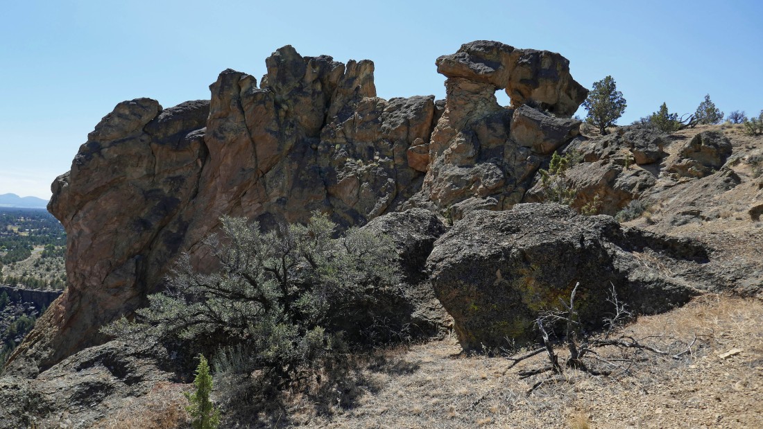
Now the toadstool looks like an arch.
|
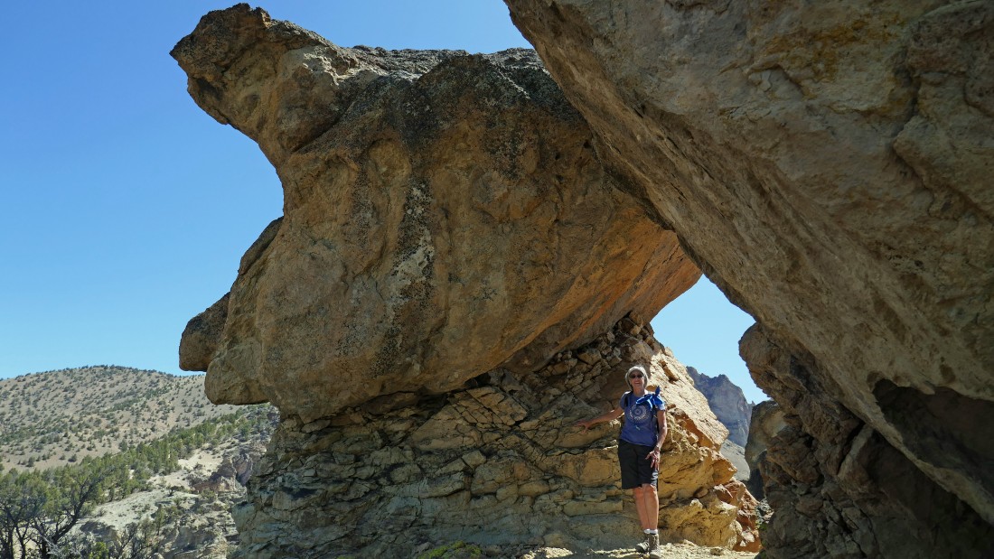
Well... it wasn't a toadstool... and it wasn't an arch... just Denali Girl standing between two rock formations.
|
We will continue on the climber's path on over toward Misery Ridge.
|
|
Continuing toward Misery Ridge... here looking back at the Monument Area in the left foreground... Gray Butte on the left horizon... and the Burma Road below The Marsupials on the right-center horizon.
|
Monkey Face appears on the right.
|
A pano shot... with Missery Ridge and Monkey Face in the middle of the photo... time to leave the climber's path and reconnect with the Summit Trail.
|

Back on the Summit Trail and looking for the River Trail... Monkey Face stands out in the left foreground.
|
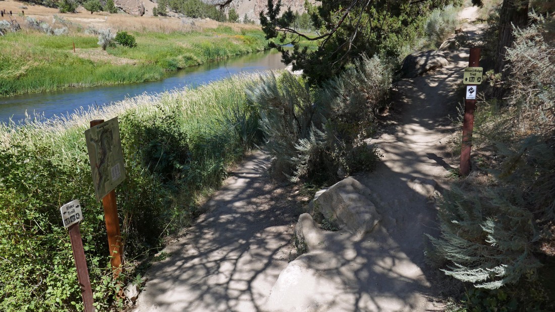
After hiking 2.2 miles on the Summit Trail we will now follow the River Trail back to the bridge crossing of the Crooked River where we will close the loop portion of our hike.
|
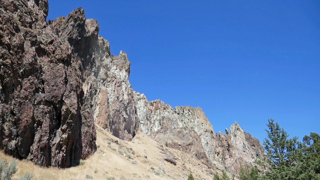
On the River Trail as we round the southern tip of the Smith Group.
|
Hiking the River Trail... The Dihedrals (left) and the Morning Glory Wall.
|
Hiking underneath Asterisk Pass on the River Trail.
|
Hiking along the River Trail... The Dihedrals are the columns on the left... then the Morning Glory Wall... then Shiprock (dark brown)... with The Marsupials on the right horizon.
|
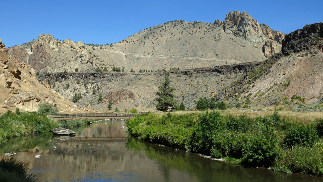
We will close the loop portion of our hike when we cross the bridge... leaving 150 feet of elevation gain up to our car... the hike was a total of 7.6 miles, gaining 1850 feet of elevation.
|
