Broken Top (South Peak) and Cayuse Crater - 8.25.2019
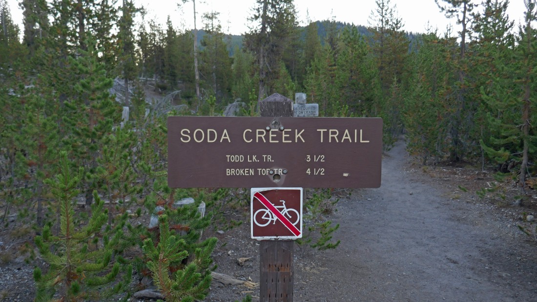
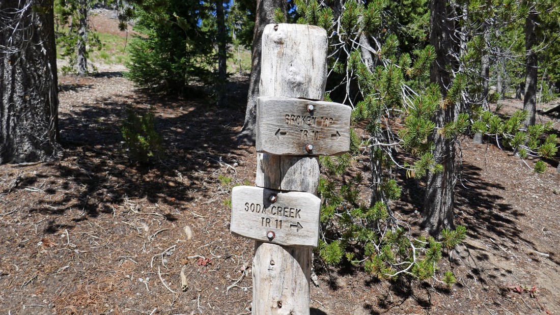
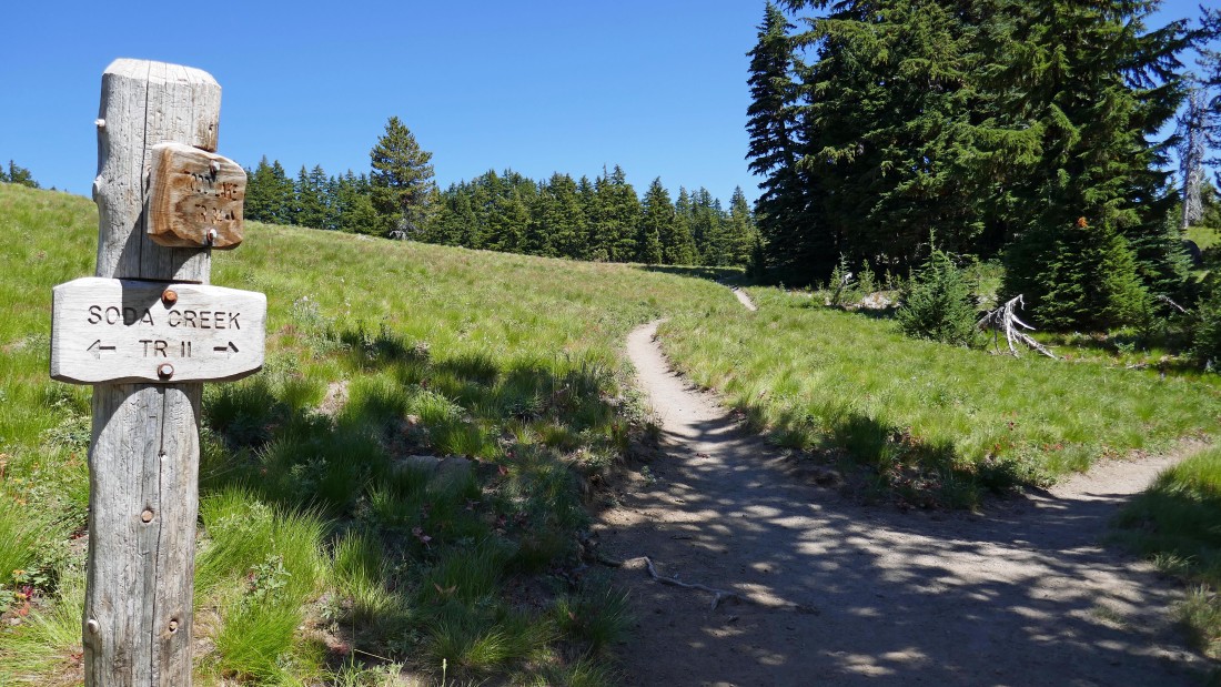
The trailhead (~5430') for Soda Creek Trail #11 shares the same parking area as the very popular Green Lakes Trail... across Cascade Lakes Highway from Sparks Lake.
|
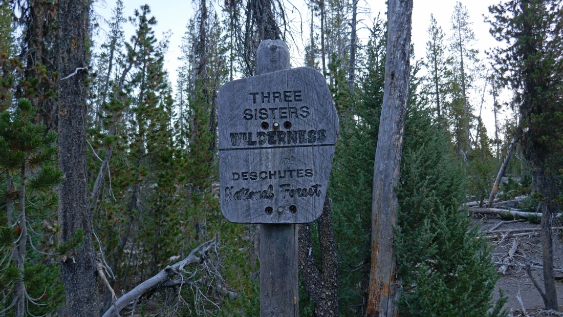
After hiking less than a quarter mile I entered Three Sisters Wilderness.
|
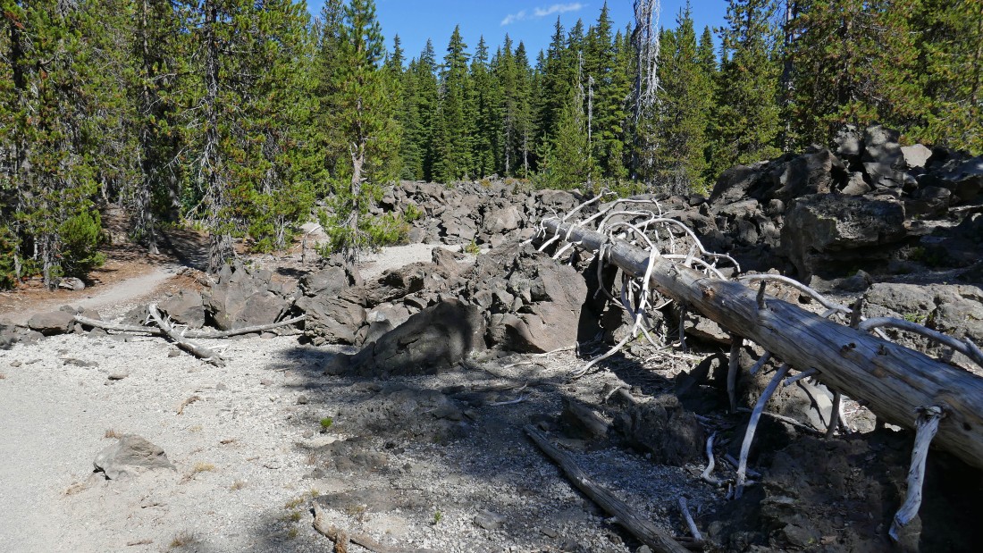
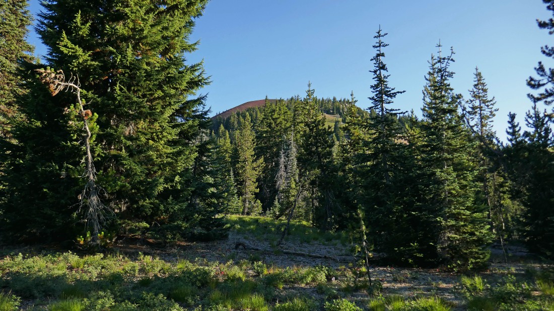
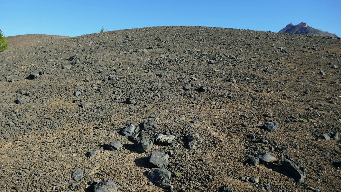
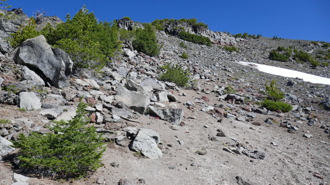
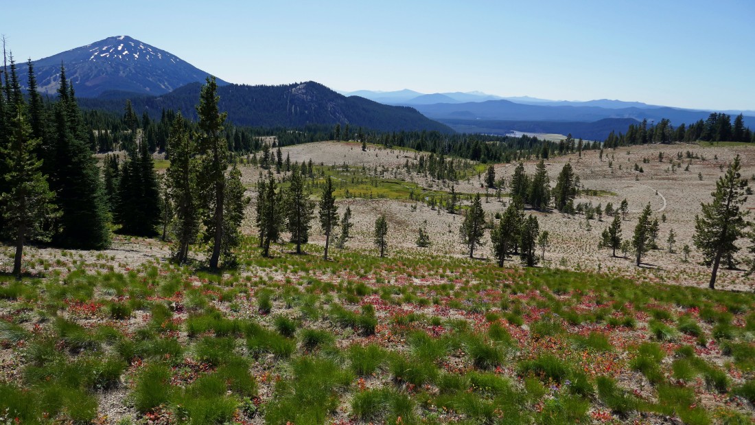
After hiking Soda Creek Trail #11 for 1.4 miles I entered this lava flow area (~5570') and will leave the trail and head cross country.
|
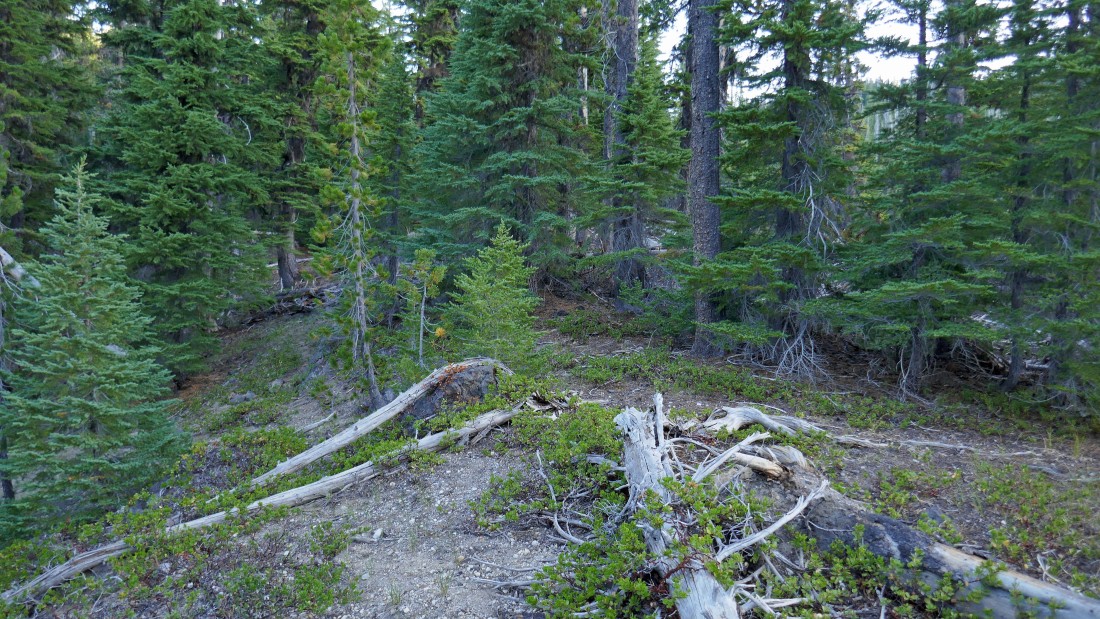
The cross country terrain was very easy to travel in... not very brushy and fairly gentle in gaining elevation.
|
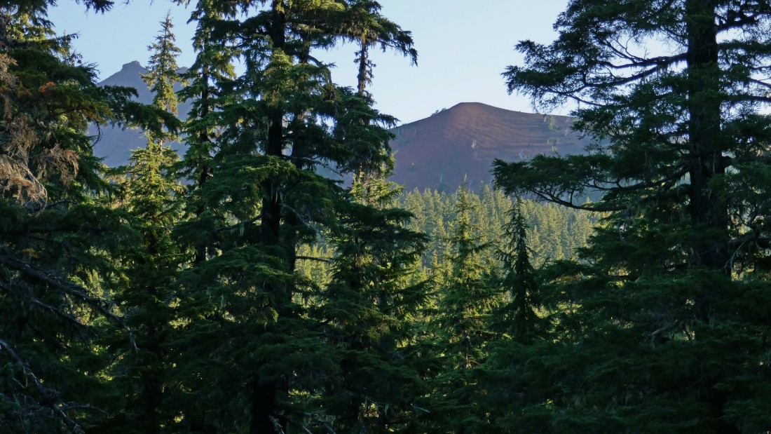
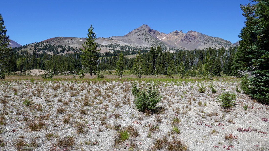
After hiking a total of 3 miles I got a glimpse of Broken Top on the far left... and the Cayuse Crater in the center of the photo.
|
Cayuse Crater is above... I will start hiking up the grassy slope, step across Broken Top Trail #10 (~6700') and continue cross country for the top of the crater.
|
On the grassy slopes of the Cayuse Crater and looking back at Moon Mountain (far left), Tumalo Mountain, Mt. Bachelor and Sparks Lake.
|
Off of the grassy slopes of Cayuse Crater and hiking on the lava field that will take me up to the top of the crater.
|
Working my way up to the top of Cayuse Crater... looking out to South Sister.
|
High enough on Cayuse Crater now to see the South Peak of Broken Top coming into view.
|
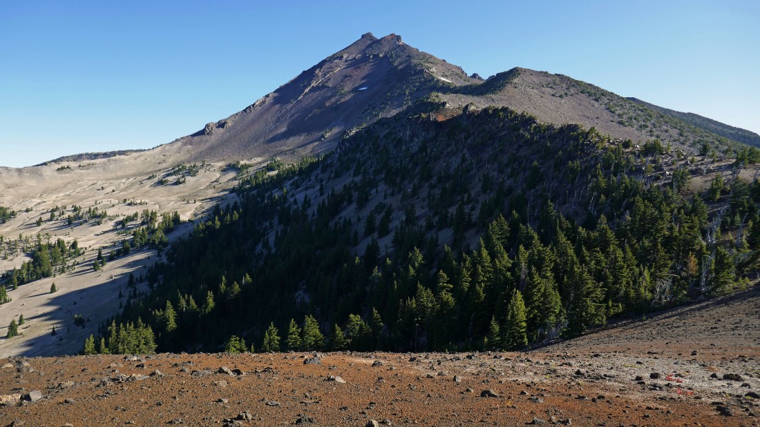
After hiking a total of 3.6 miles I have reached Point 7354 (the top of Cayuse Crater) and can pretty much see the ridge route that will take me to the South Peak of Broken Top.
|
Looking south from the top of Cayuse Crater... Tumalo Mountain, Mt. Bachelor and Sparks Lake.
|

I have left Cayuse Crater and will follow the ridge toward Point 8107 in the right foreground.
|
Continuing on the ridge toward Point 7810 (foreground) and Point 8107 (far right)... the Three Sisters are in the distance on the left.
|
Looking back at my ridge route from the Cayuse Crater... Mt. Bachelor and Sparks Lake in the distance.
|
Nearing Point 8107 in the right foreground... and seeing the work that remains in getting up to the South Peak of Broken Top.
|
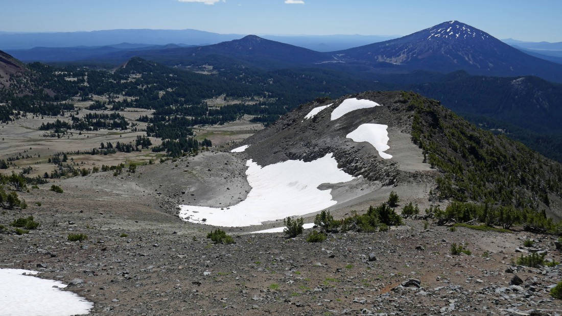
After hiking a total of 4.5 miles I have reached Point 8107... looking south... left to right... Ball Butte, Moon Mountain, Tumalo Mountain, Mt. Bachelor and Sparks Lake.
|
Standing on Point 8107 and looking at the task at hand.
|
Heading up the ridge on a path of sorts.
|
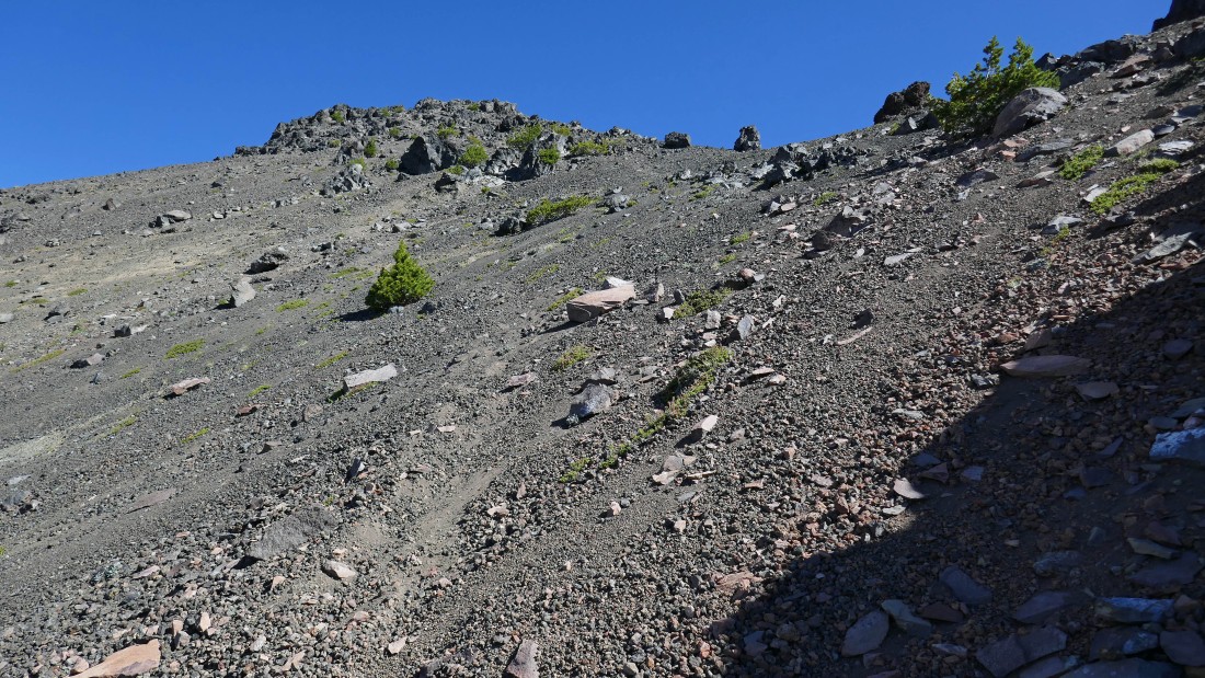
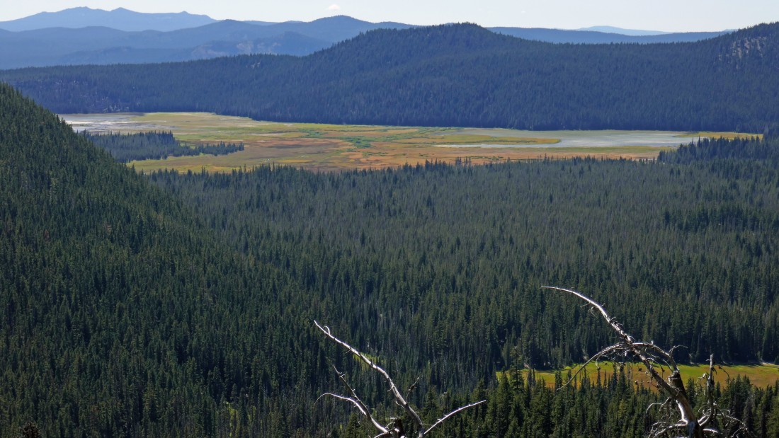
On steeper terrain now... with part of the Green Lakes now in view.
|
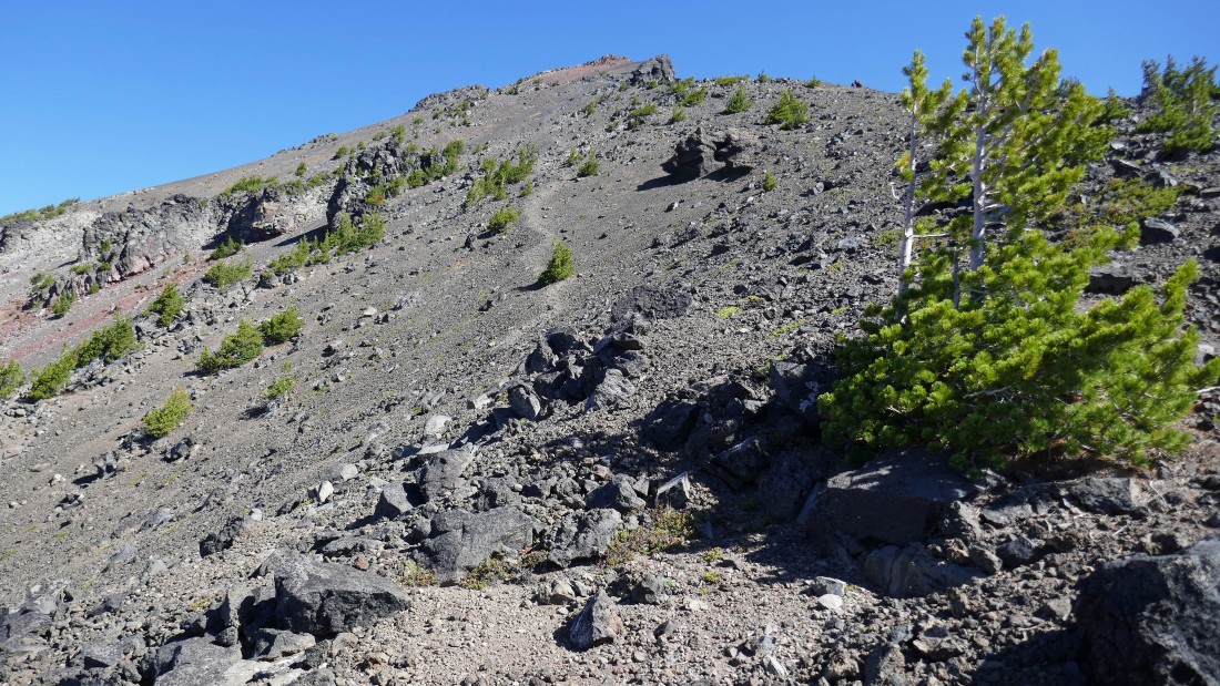
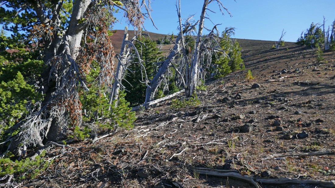
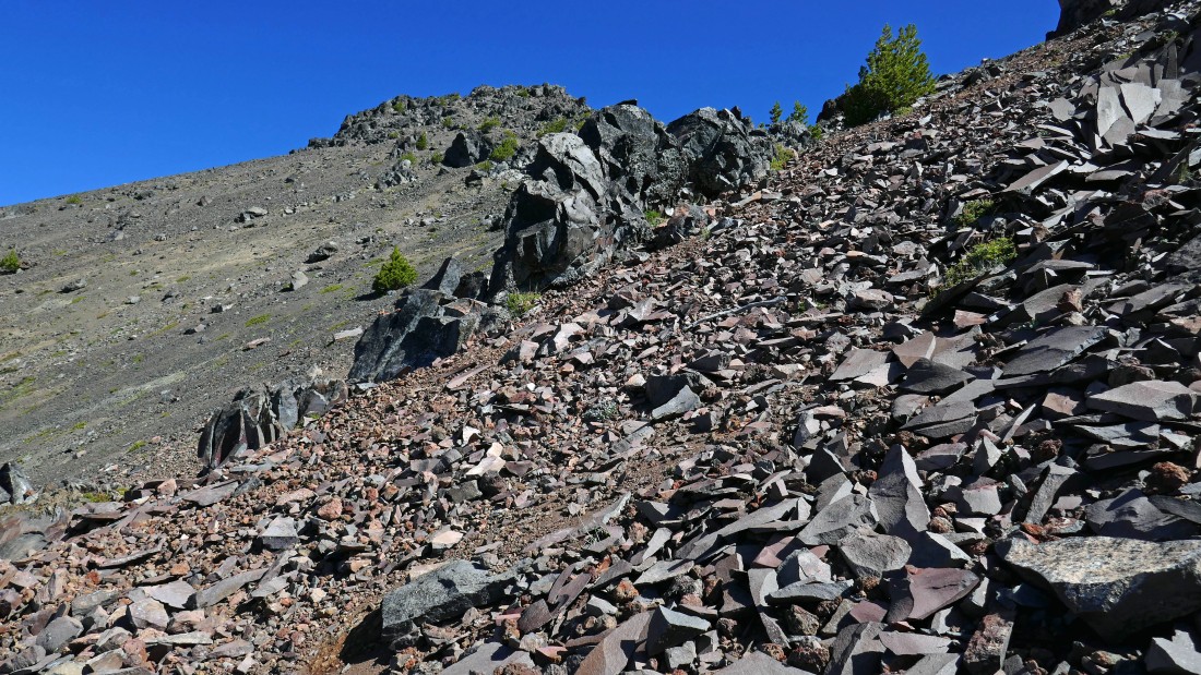
The path is obvious... steep and loose, but obvious.
|
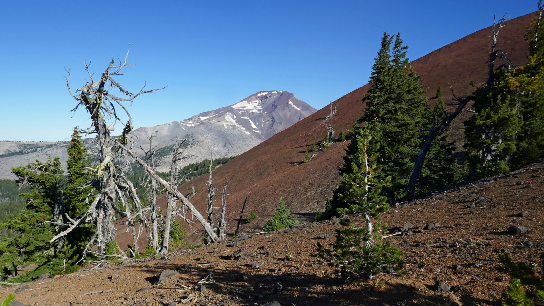
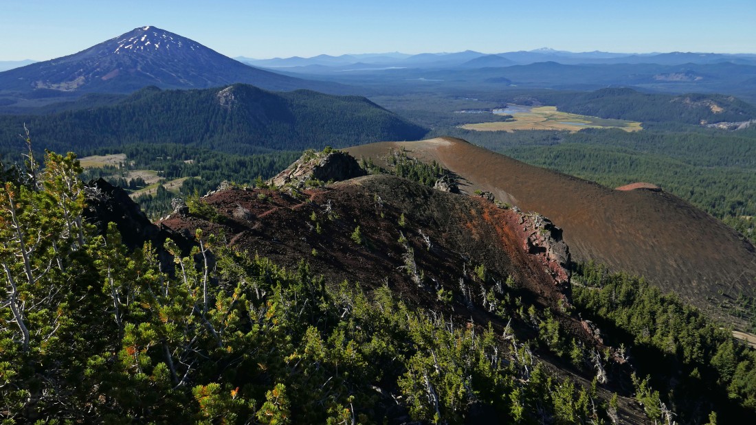
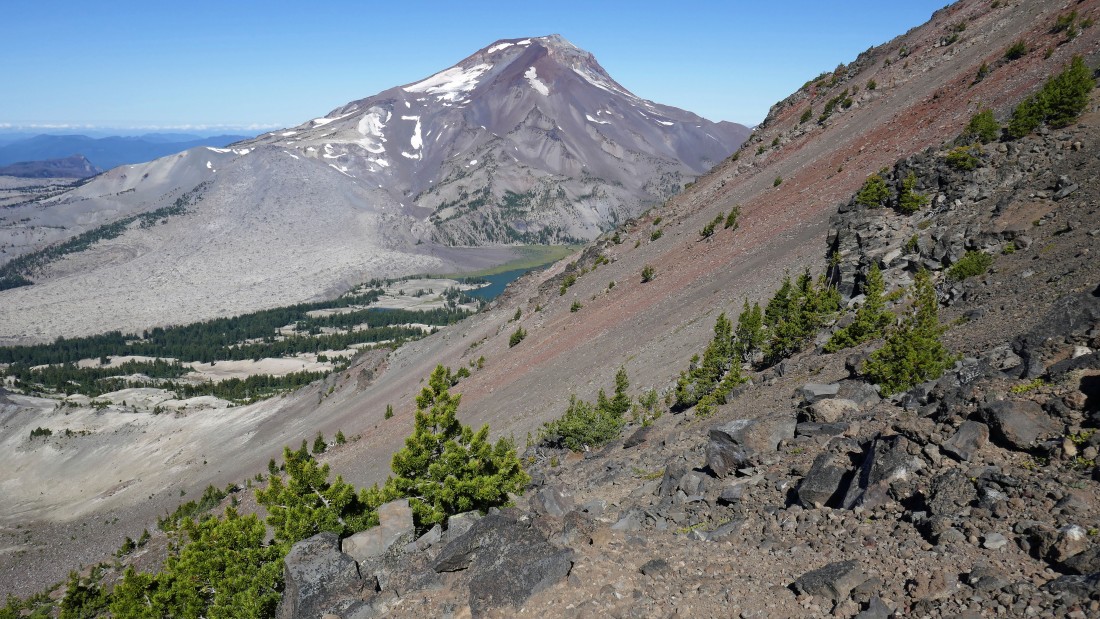
Broader views to the south with every step higher... the lava cinder cones on the right are part of the Devils Chain.
|
Gaining elevation on steep and loose terrain... South Sister in the distance.
|
Continuing up... did I say steep and loose?
|
Heading for the saddle in the top center of the photo.
|
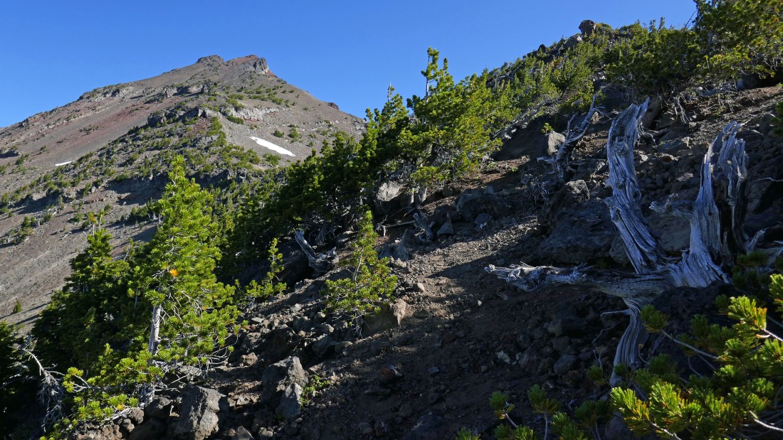
I've reached the saddle... after visiting the summit I will return to the saddle and see what the views are from this spire.
|
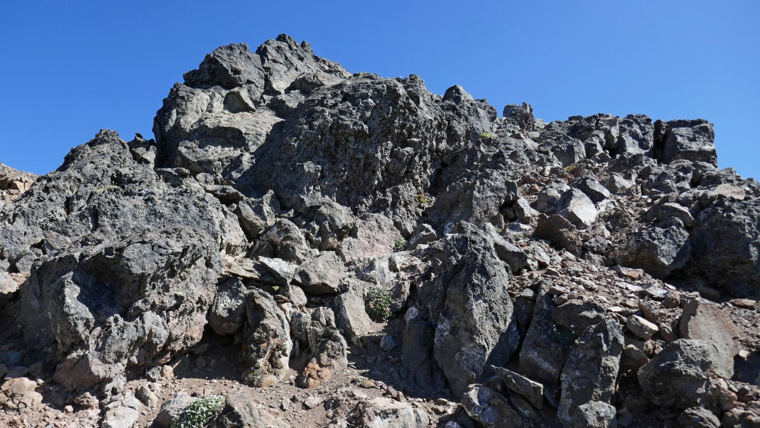
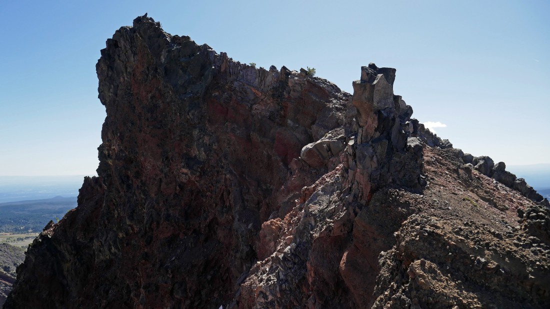
Almost on the South Peak summit.
|
After hiking a total of 5.1 miles I have reached the South Peak summit (9094') of Broken Top... looking over at the true summit (9175') on the left.
|
Broken Top in the right foreground... with Three Sisters, Mt. Washington, Three Fingered Jack, Mt. Jefferson and Mt. Hood in the distance on the left... Green Lakes are below left.
|
Looking south from the South Peak of Broken Top... I will stop at the spire in the foreground on my way down.
|
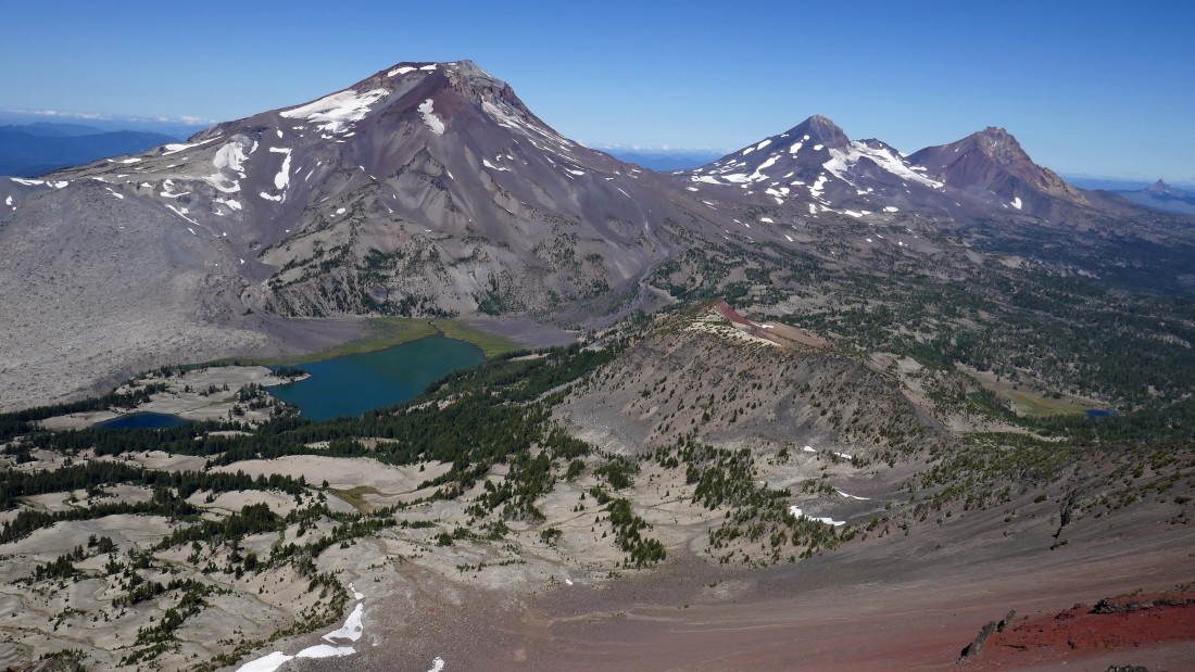
A closer look at the Three Sisters and Mt. Washington from the South Peak of Broken Top.
|
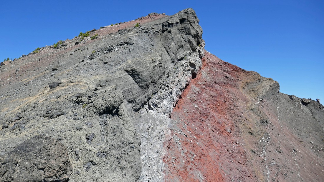
Heading down from the South Peak summit... love the variety of colors.
|
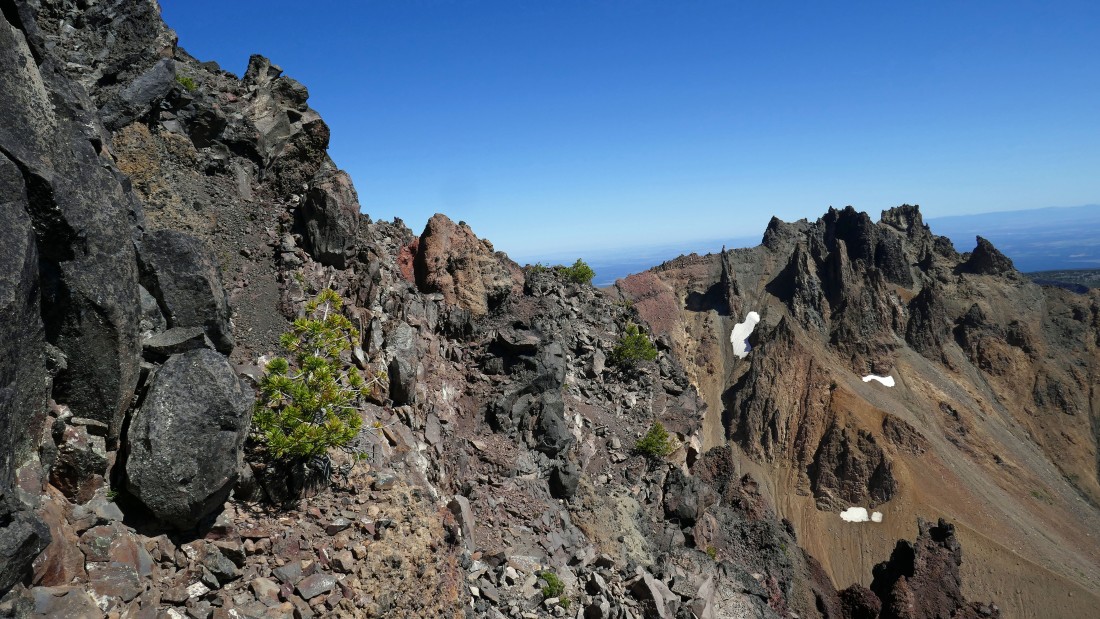
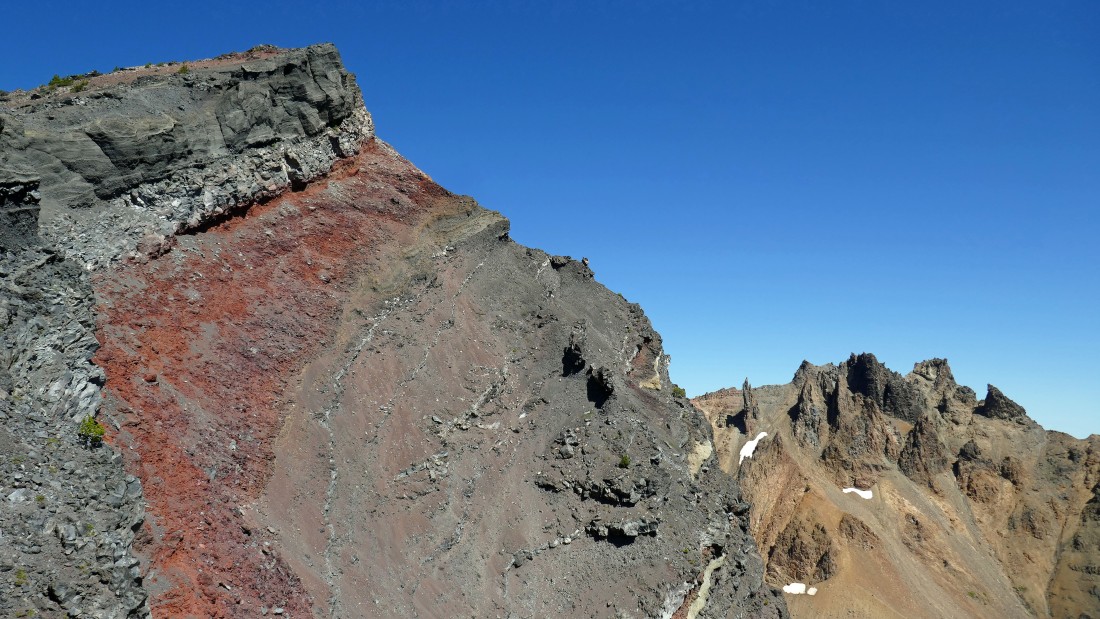
Continuing down... rugged and beautiful.
|
Time to scramble up the spire.
|
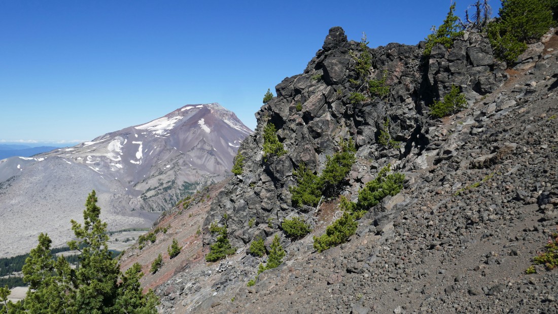
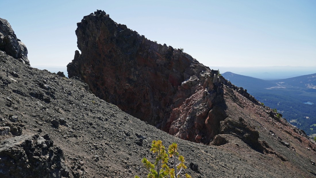
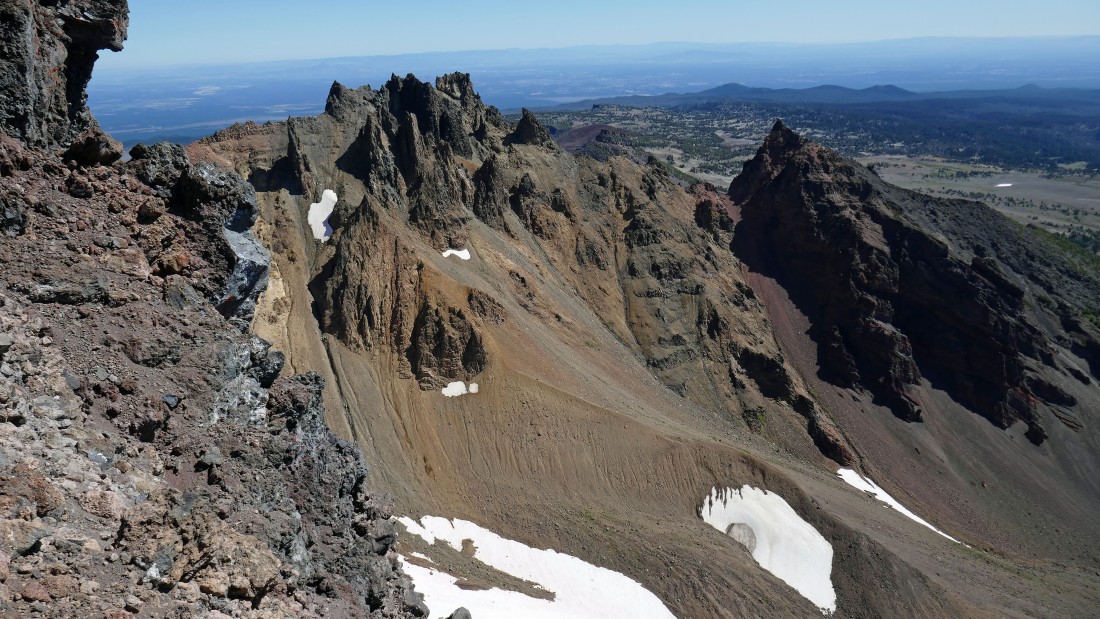
The South Peak of Broken Top on the left... and the spire that awaits on the right.
|
|
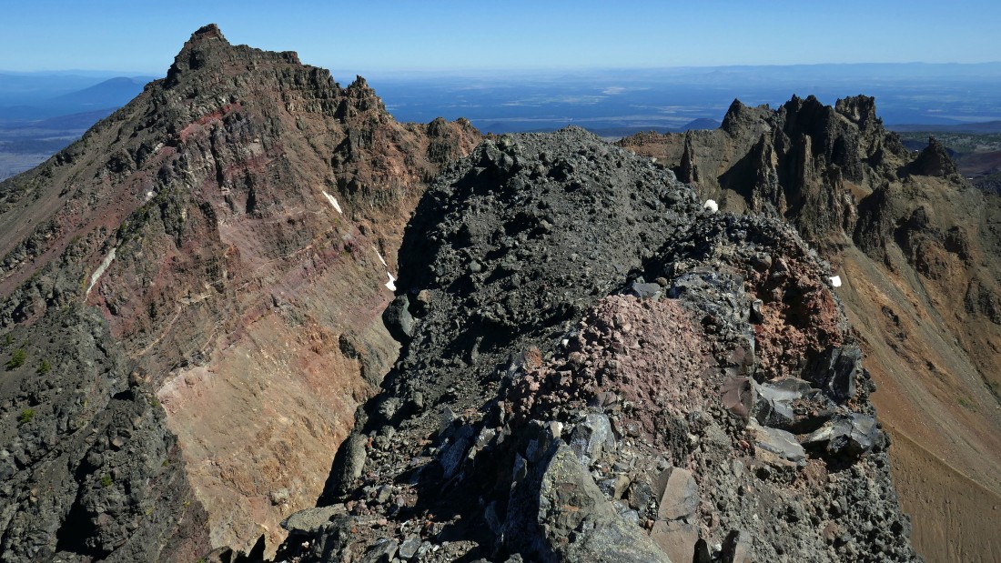
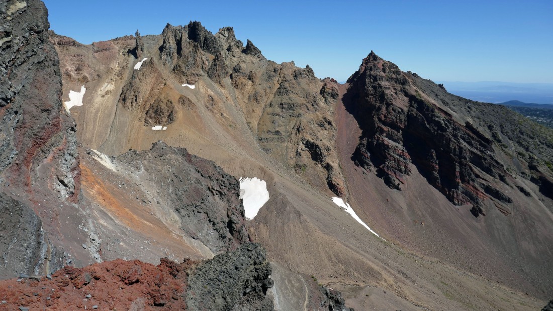
I'm on top of the spire... South Sister in the distance on the left... the South Peak is in my face... with the true summit in the right center of the photo.
|
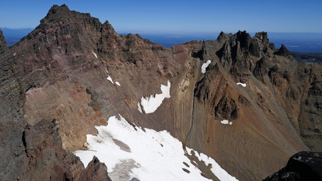
On top of the spire... looking down at the Crook Glacier in the Broken Top crater... with the true summit of Broken Top on the left.
|
Heading down now... I will alter my route slightly, trying to stay on the edge of the ridge to see if I can get a different look at Broken Top.
|
Heading down and looking back.
|
Heading down and looking back.
|
Heading down and looking back.
|
Nearing Point 8107... instead of crossing back over it on my way down I will go off to the left and save a little elevation.
|
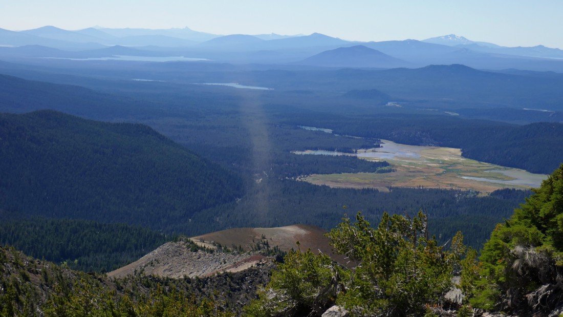
See what looks like a discolored stream of smoke coming out of the Cayuse Crater... it was like a whirlwind of dust... can you say 'Beam me up Scotty'?
|
Back on much easier terrain now... looking back at Broken Top and the stream that is running off of the Crook Glacier.
|
After hiking a total of 6.8 miles I will connect (~6720') with Broken Top Trail #10 below and follow it to the junction with Soda Creek Trail #11.
|
After hiking a total of 7.5 miles I will take Soda Creek Trail #11... I am so tired of dealing with cross country travel that I will add an extra 2.5 miles of hiking to the trip just to be able to walk on a trail.
|
After hiking a total of 8.3 miles I have reached the junction of the Todd Lake Trail #34 and Soda Creek Trail #11... I will continue on the Soda Creek Trail and follow it back to my car.
|
South Sister from the Soda Creek Trail.
|
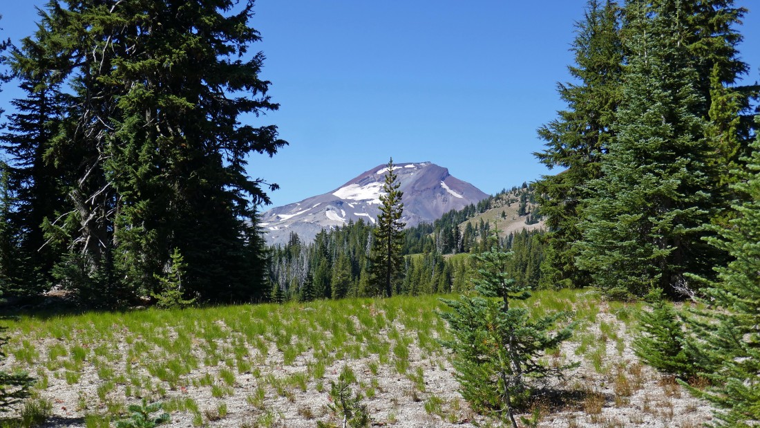
Cayuse Crater (left) and Broken Top from the Soda Creek Trail.
|
Love the different colors around Sparks Lake... I'm still 3 miles from my car... the hike/scramble was a total of 12.6 miles, gaining 3900 feet of elevation.
|
