Hibox Mountain - 9.4.2019
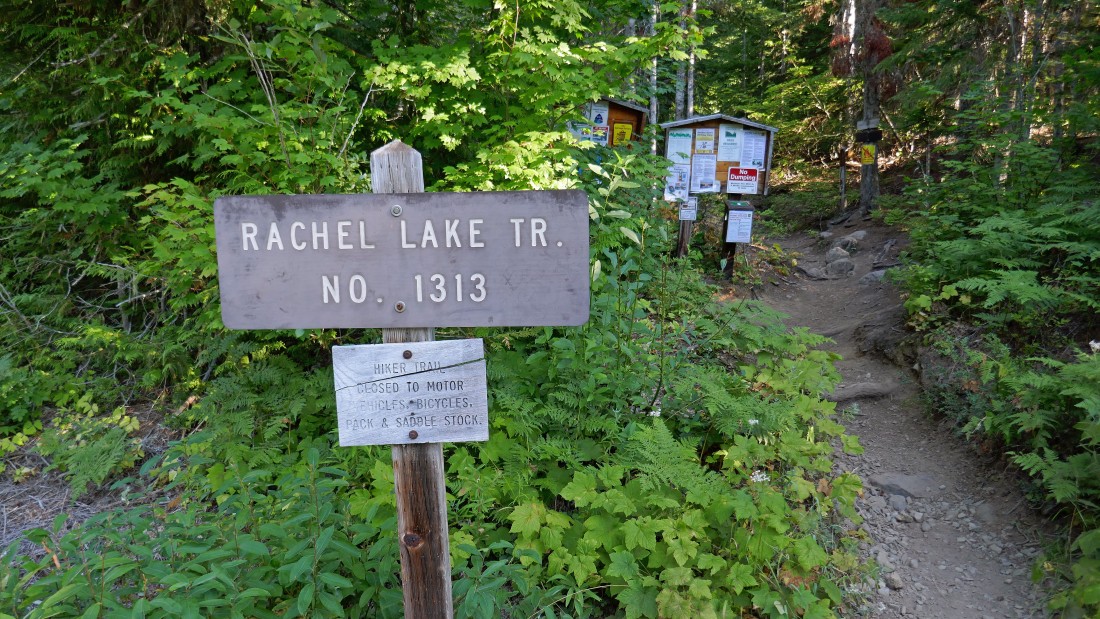
We drove to the end of Forest Service Road 4930 and started hiking (~2800') on Rachel Lake Trail #1313.
|
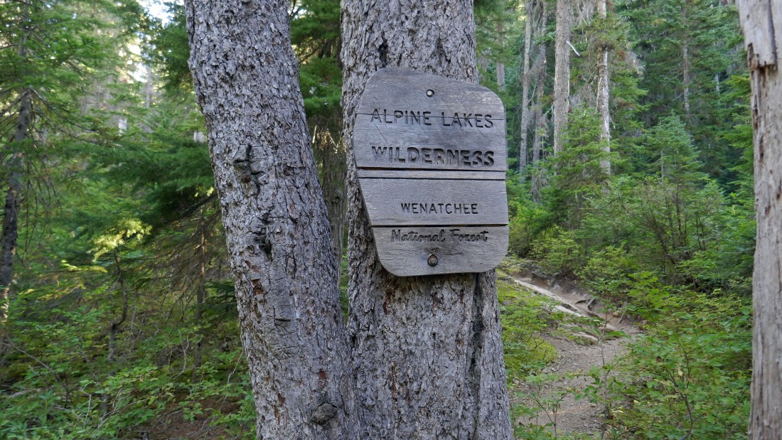
After hiking less than a quarter mile we entered the Alpine Lakes Wilderness.
|
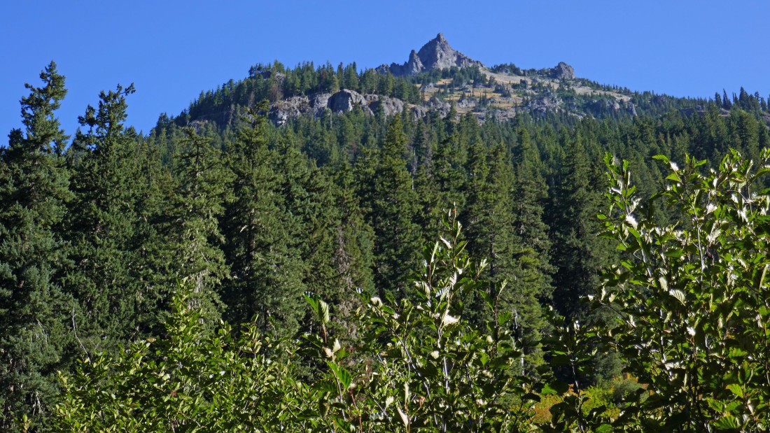
After hiking ~2 miles we got a good look at our target... it is going to be steep when we leave the Rachel Lake Trail.
|
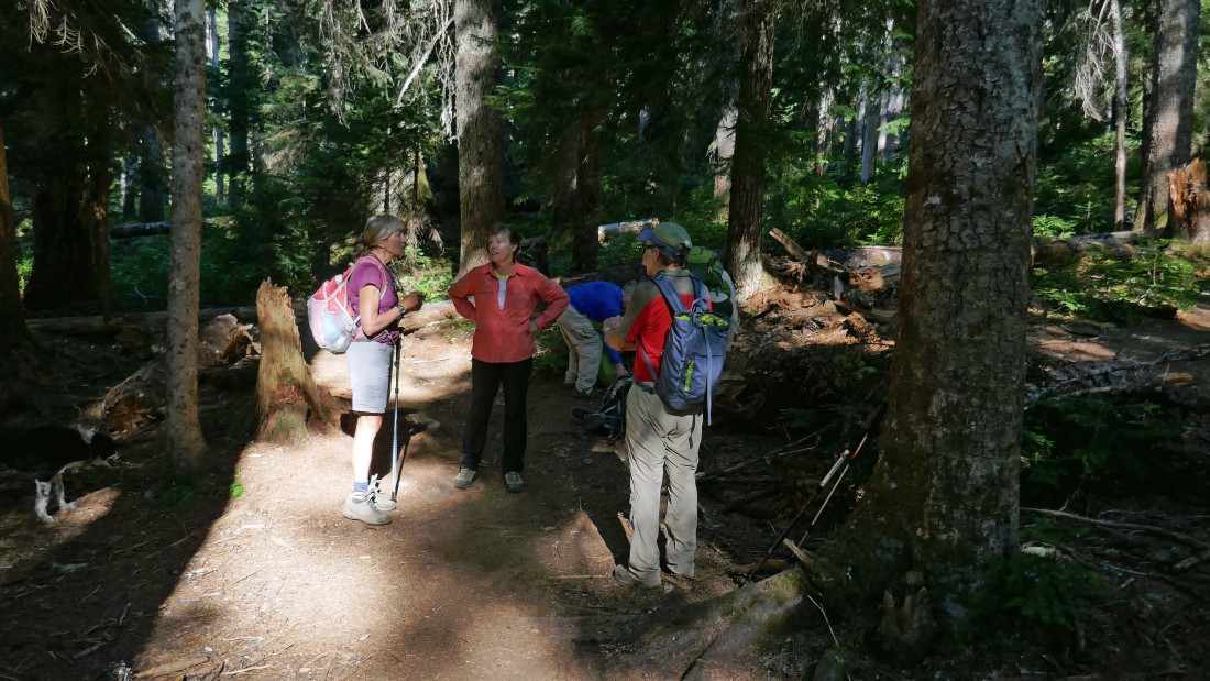
After hiking 2.5 miles (~3300') we have found the unsigned, but obvious Hibox Mountain Climber's Trail.
|
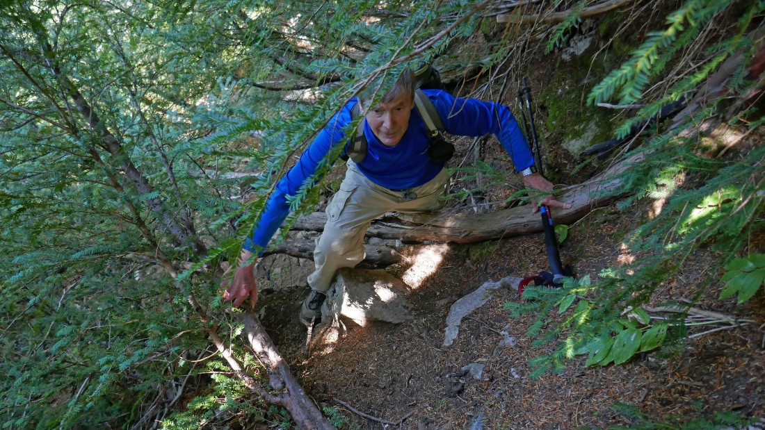
After leaving the Rachel Lake Trail the first 1200 feet of elevation gain is more or less in the trees... very steep terrain.
|
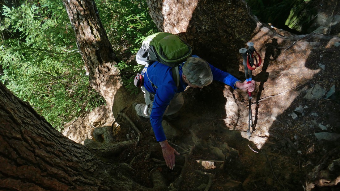
Steep.
|

At ~4500 feet we came out of the trees... but the terrain remains very steep.
|
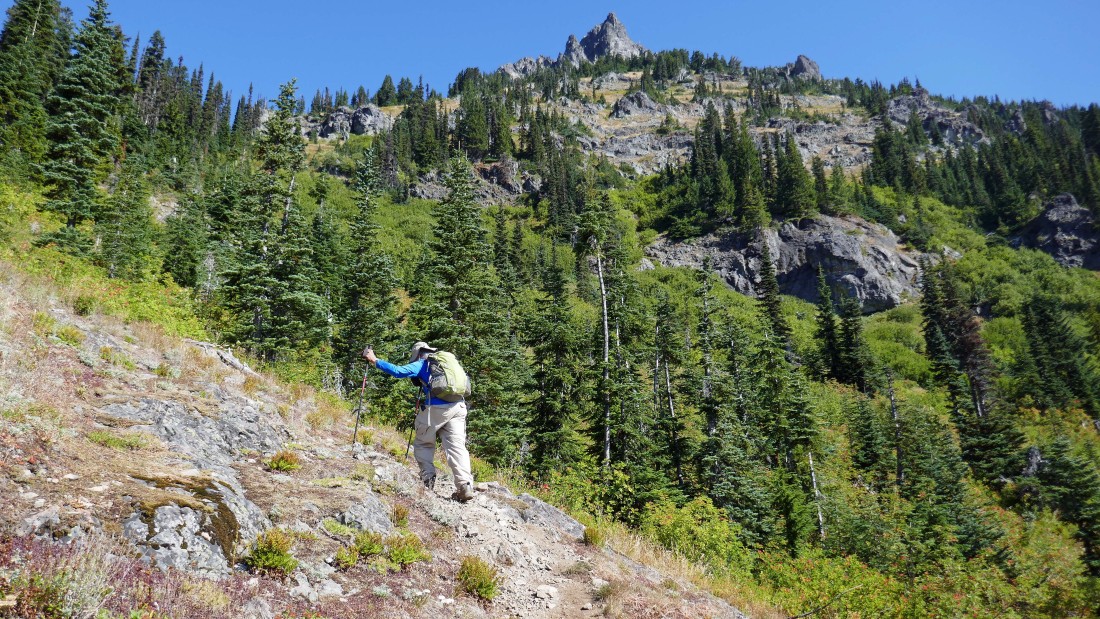
Gaining elevation on steep terrain.
|
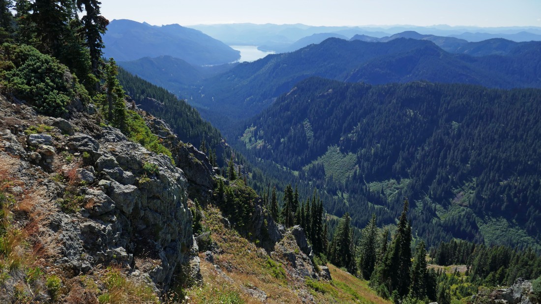
Gaining elevation on steep terrain... looking down Box Canyon to Kachess Lake in the distance.
|
High enough to see Rachel Lake below Rampart Ridge in the foreground... Mt. Rainier on the left horizon.
|
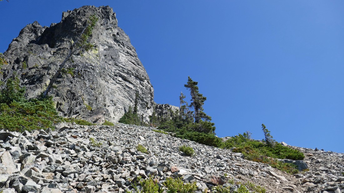
We will work our way around this rock formation and head for the east ridge of Hibox.
|
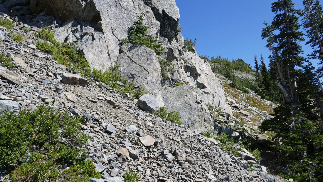
Heading around the corner for the east ridge of Hibox Mountain.
|
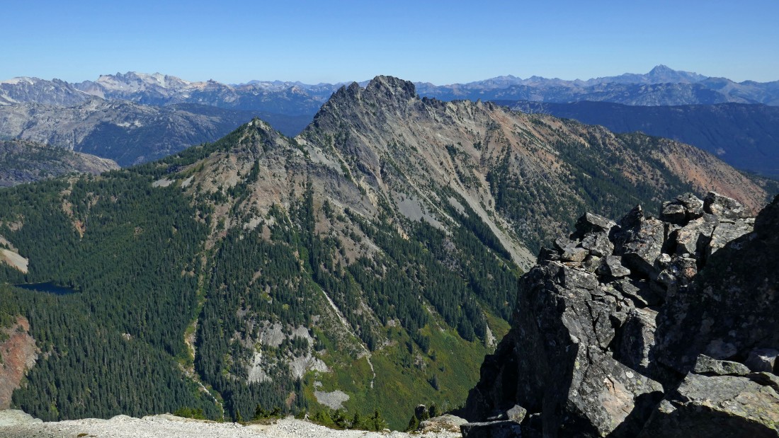
We have reached the east ridge of Hibox Mountain... and looking into the heart of the Alpine Lakes Wilderness... Three Queens Mountain in the foreground.
|
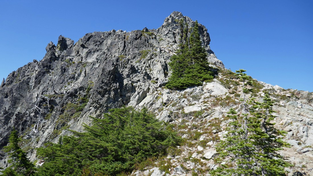
A very good scramble route will take us up the east ridge to the summit of Hibox.
|

Snowdog has scrambled up the second chute.
|

Nearing the summit of Hibox Mountain.
|
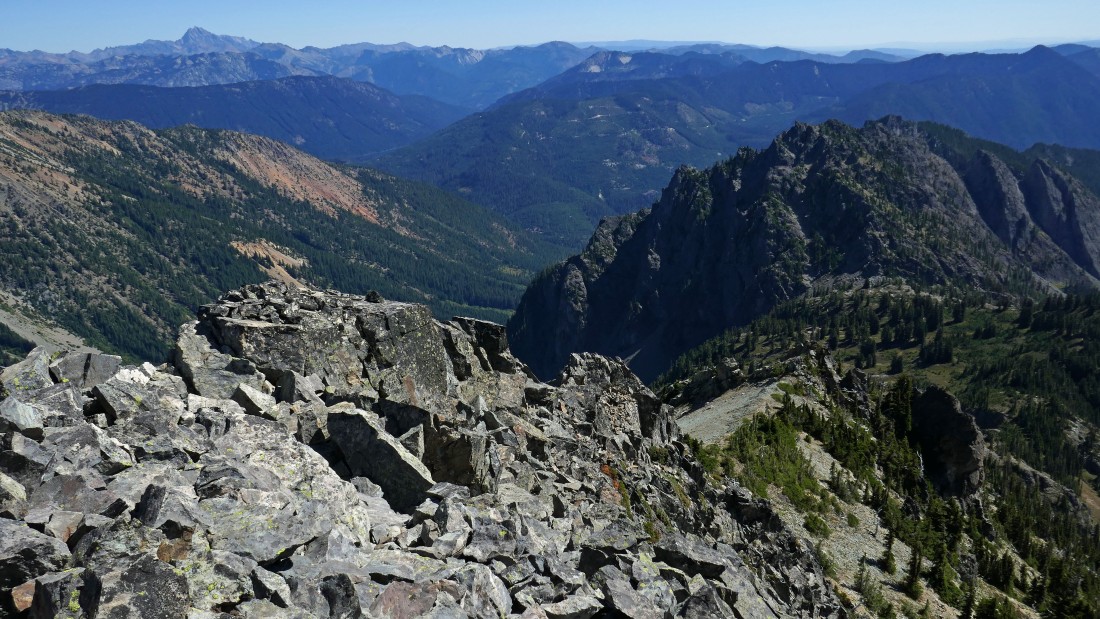
On the Hibox summit (6549')... looking SW (left) at Rachel Lake to NE (right) to Three Queens Mountain.
|
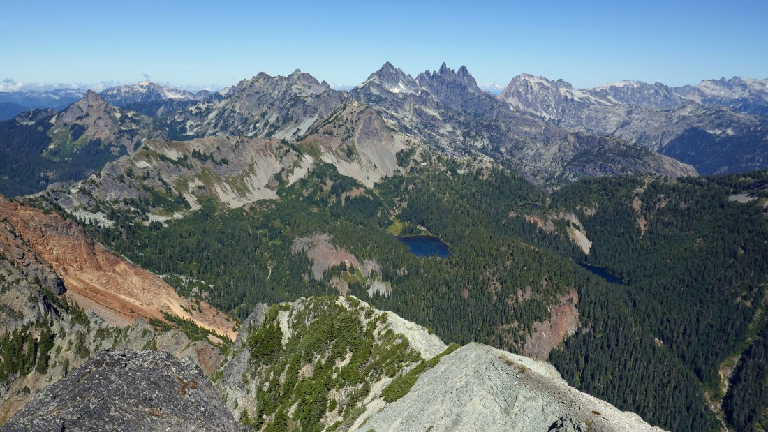
Looking down on Park Lakes from the Hibox Mountain summit... peaks include Huckleberry Mountain, Lemah Mountain, Chimney Rock, Summit Chief, Mt. Hinman and Mt. Daniel.
|
Three Queens Mountain in the foreground... Mt. Stuart on the far right horizon... Hinman and Daniel on the far left horizon.
|
Mt. Rainier on the left to Mt. Thomson and Huckleberry Mountain on the right... Rampart Ridge, Rachel Lake and Alta Mountain are in the foreground.
|

Kachess Lake from the summit of Hibox Mountain.
|
Heading down from the summit of Hibox... Lobox Mountain in the right foreground... Mt. Stuart on the left horizon.
|

Heading down.
|
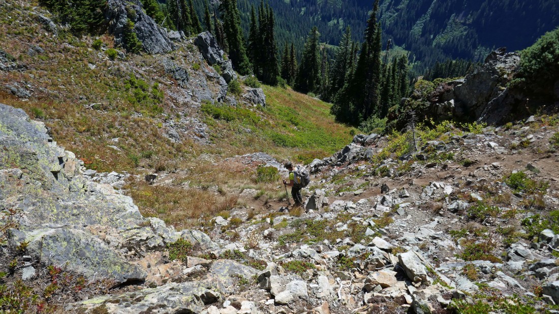
Just as steep going down as it was coming up.
|
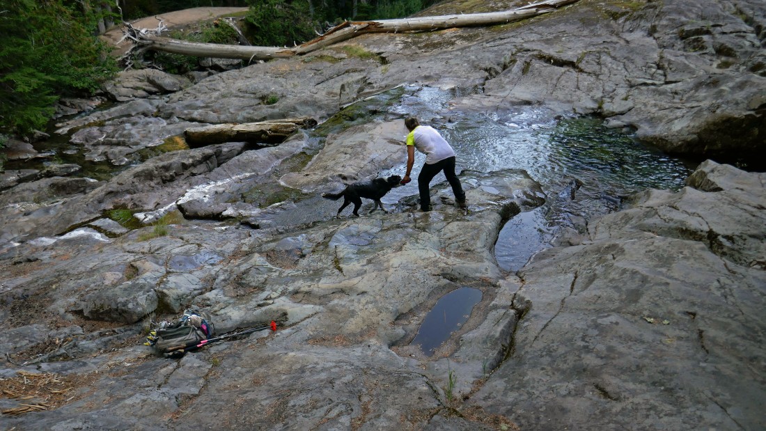
Izzy gets ready to take a swim... less than a half-mile to get back to the car... the trip was 7.7 miles roundtrip, gaining ~4100 feet of elevation. The 1.35 miles from the Rachel Lake Trail up to the Hibox summit gained 3200 feet of elevation.
|
