Red Mountain and Kendall Peak - 9.12.2019

We parked (3030') at the horse trailer parking area at Snoqualmie Pass on the north side of I-90... the trailhead for the PCT is just a stone's throw away.
|
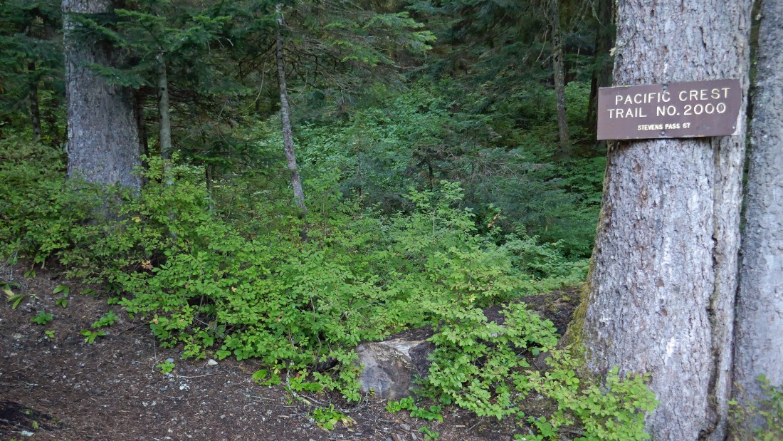
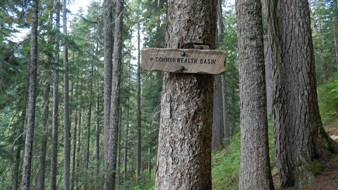
This sign is very close to where we parked... instead of going to the right and hiking over to the PCT parking area we will go to the left and access Commonwealth Basin Trail #1033 very quickly.
|
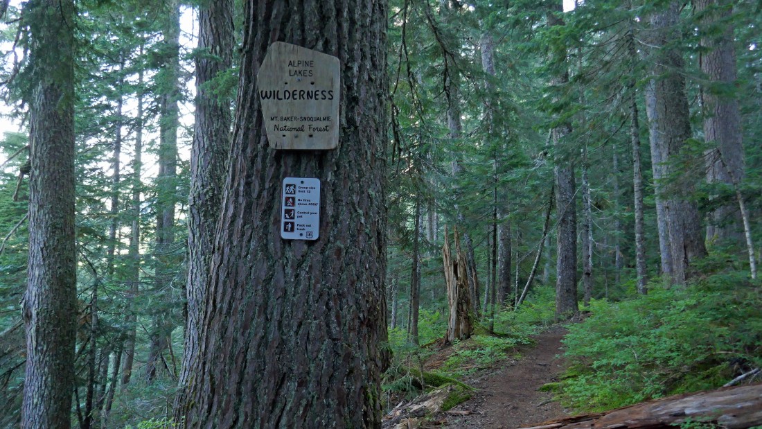
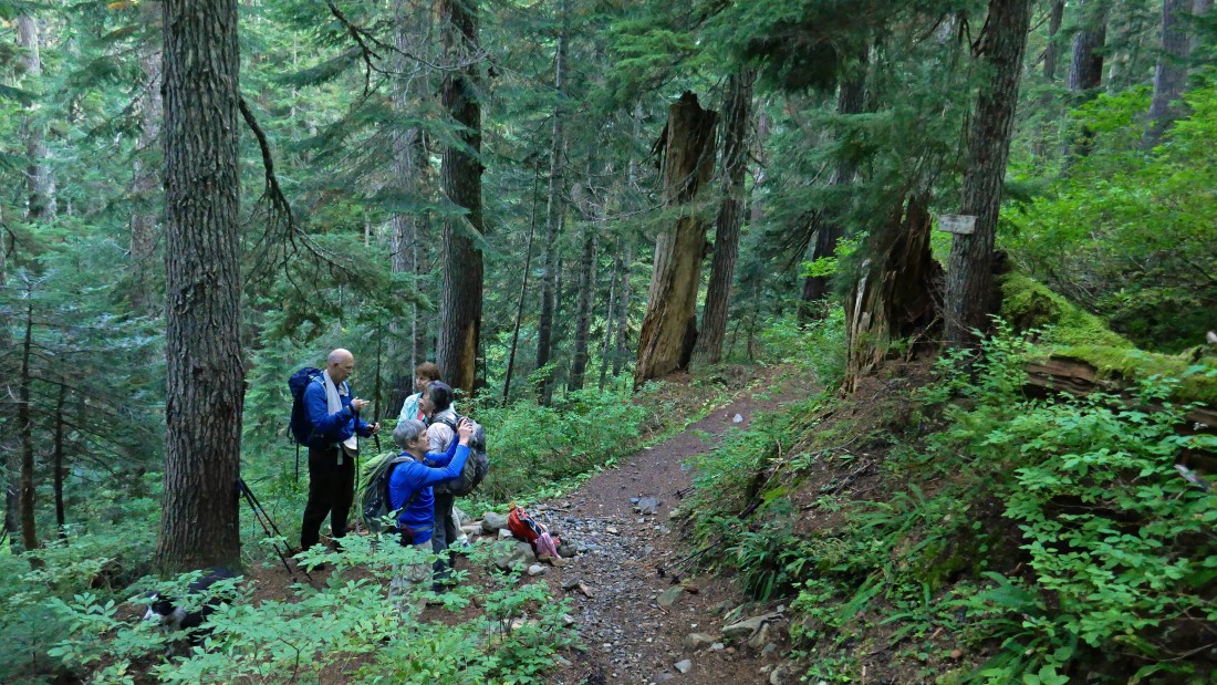
After hiking a half-mile on the Commonwealth Basin Trail we entered the Alpine Lakes Wilderness.
|
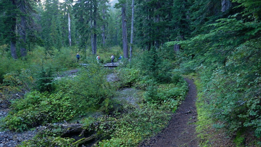
Crossing Commonwealth Creek.
|
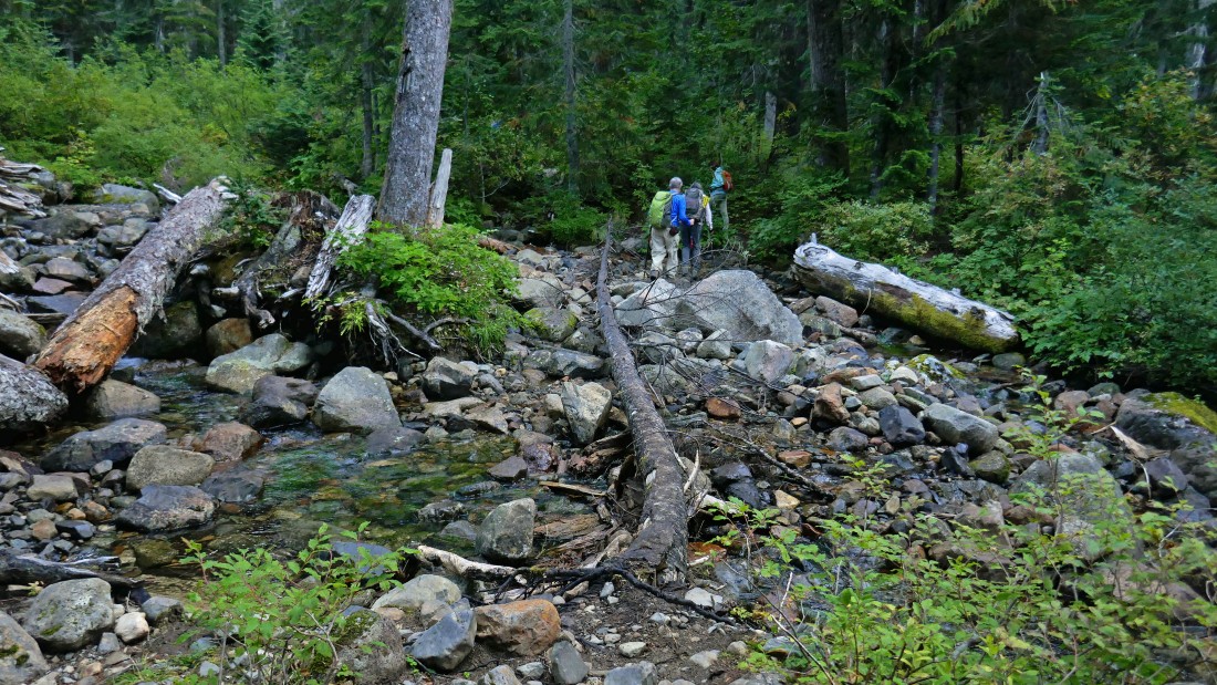
Recrossing Commonwealth Creek.
|
After hiking a total of 1.3 miles we have reached a junction with the connector trail that goes up to join the PCT... however, we will stay on the Commonwealth Basin Trail that goes up to Red Pass.
|

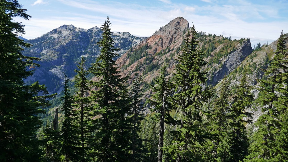
A peek at the day's first target... Red Mountain.
|
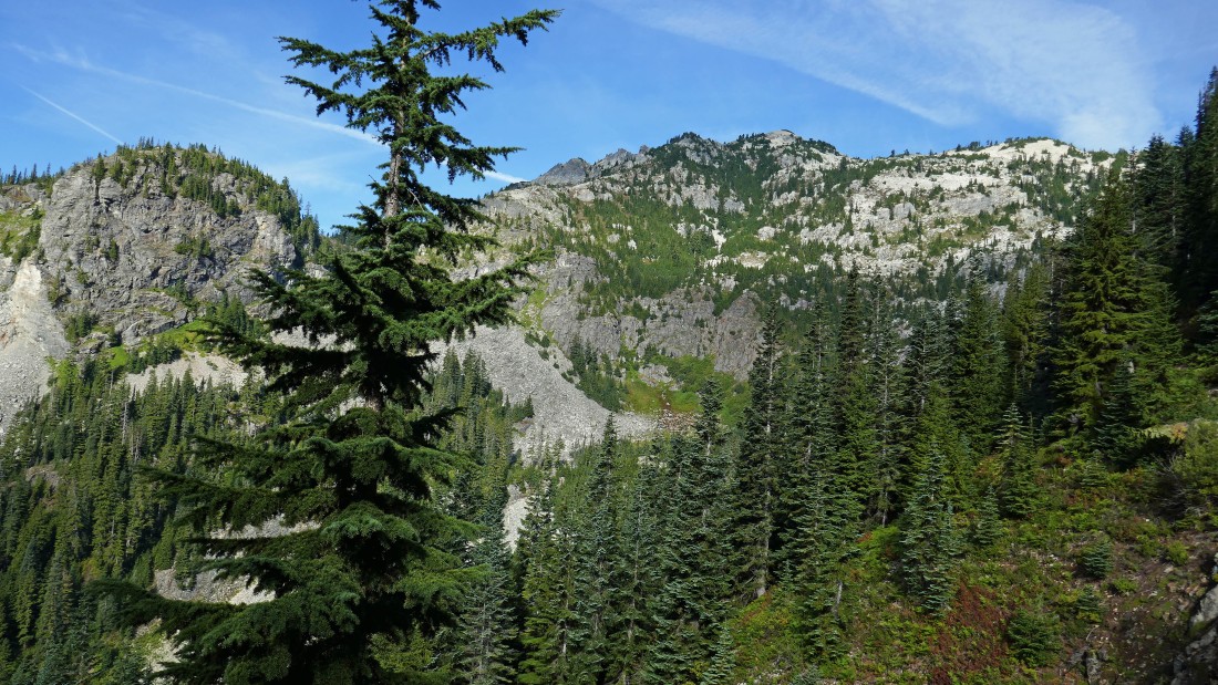
Gaining elevation above Commonwealth Basin on our way to Red Mountain... Cave Ridge on the left... with Snoqualmie Mountain in the center.
|

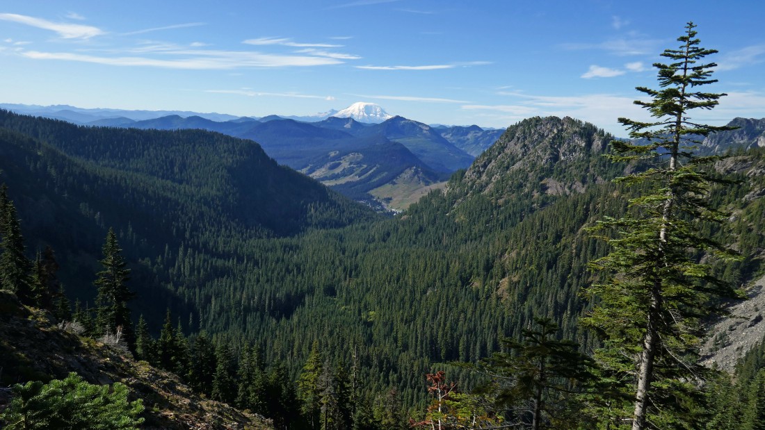
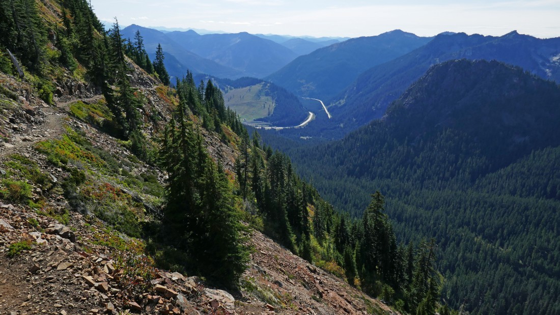
Looking down Commonwealth Basin to the Snoqualmie Pass Ski Area... with Tinkham Peak and Silver Peak in front of Mt. Rainier... Guye Peak in the right foreground.
|
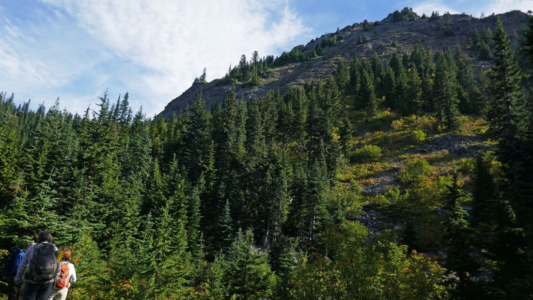
After hiking a total of 2.5 miles on the Commonwealth Basin Trail we have arrived at the Red Pond area... time to leave the main trail and head up to the top of Red Mountain above.
|
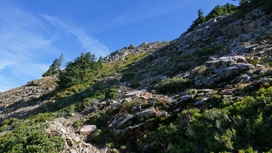
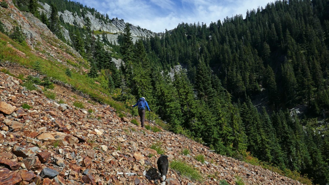
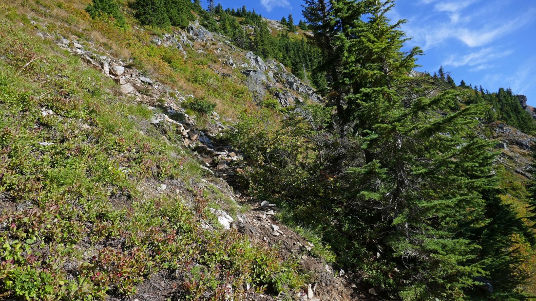
Gaining elevation on the Red Mountain scramble path... there are a couple of paths and they can be a little confusing... here I'm looking over at Kendall Peak.
|
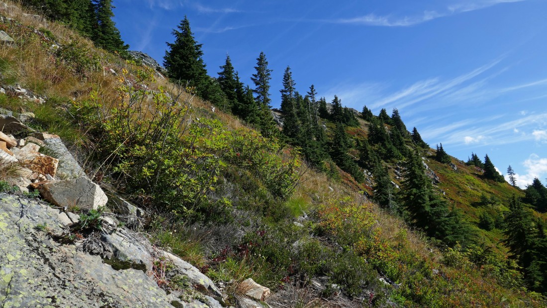
Gaining elevation on the scramble path and looking south down Commonwealth Basin.
|
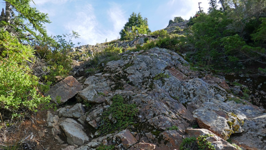
On a path of sorts.
|
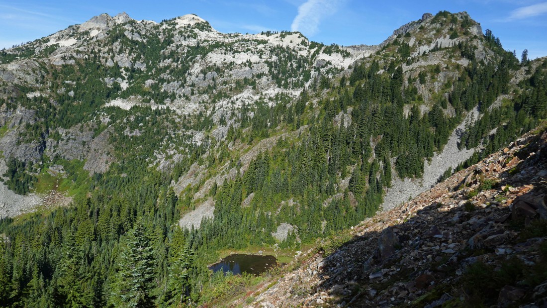
Gaining elevation on the Red Mountain scramble path... looking down on Red Pond... with Snoqualmie Mountain on the left... and Lundin Peak in the right foreground.
|
Looking down at the gang as they come up on the scramble path.
|
|
Pano shot... with Mt. Rainier and Snoqualmie Pass on the left... with Guye Peak, Cave Ridge, Snoqualmie Mountain and Lundin Peak in the foreground.
|
Almost up to the summit area of Red Mountain.
|
After hiking a total of 2.9 miles I have reached the summit (5890') of Red Mountain... and got this view to the north (left) and east... Mt. Thomson stands out in the center of the photo.
|

The gang arrives at the summit area.
|
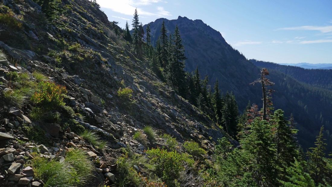
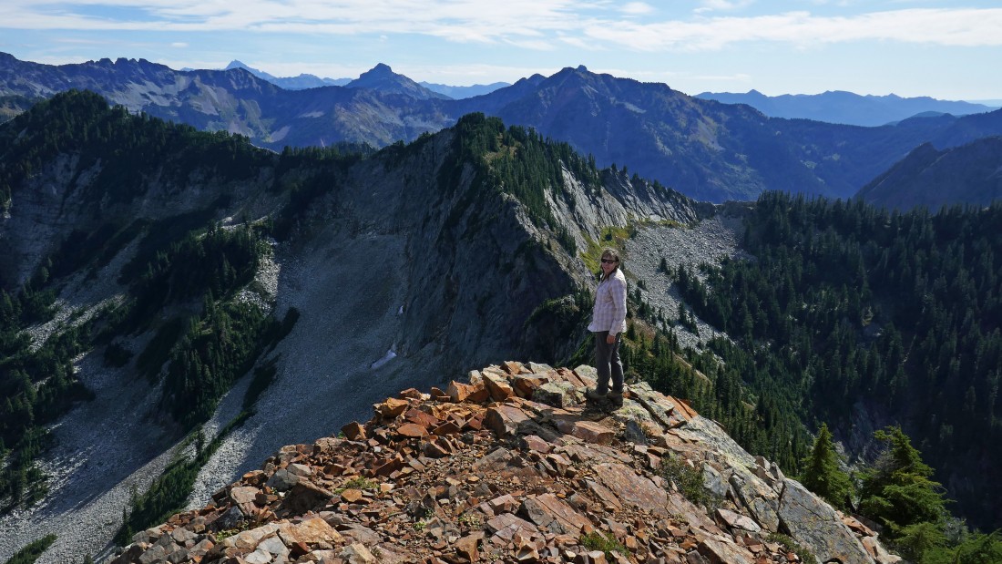
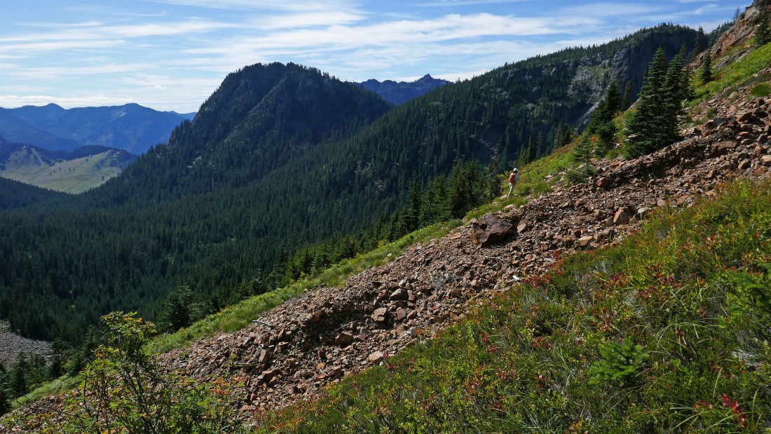
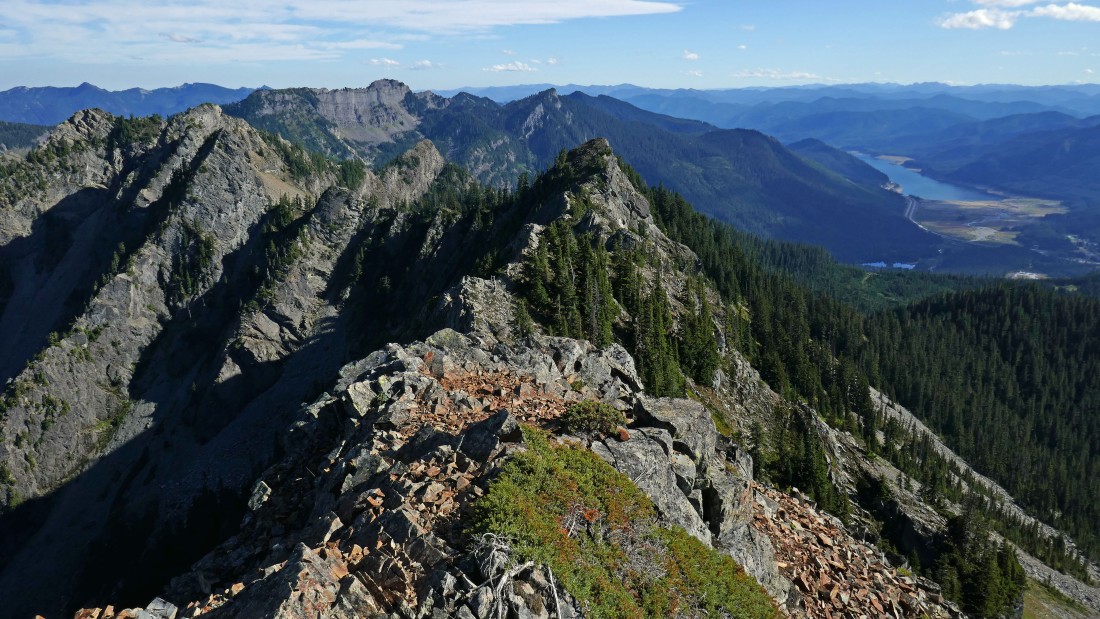
On the Red Mountain summit... looking south to Kendall Peak in the center foreground... the Kendall Katwalk is in the left-center foreground... Snoqualmie Pass in the distance on the far right.
|
|
Mt. Thomson in the center foreground... Big Snow Mountain on the far left.
|
Mt. Rainier on the left to Lundin Peak on the right.
|
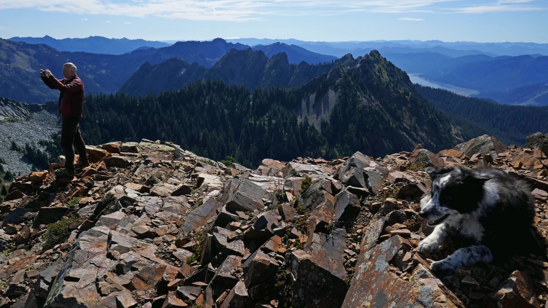
Snowdog checks out the terrain that we will deal with as we eventually go cross country over toward the Kendall Katwalk.
|
Snoqualmie Mountain on the far left to Chimney Rock, Lemah, Chikamin and Four Brothers on the far right horizon.
|
Puzzlr and Izzy enjoy the Red Mountain summit... with the many jagged bumps of Kendall Peak in the center of the photo.
|
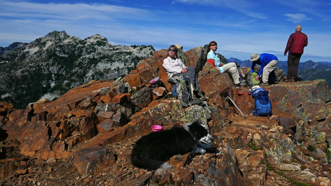
Soaking up rays on the summit of Red Mountain... Snoqualmie Mountain in the distance on the left.
|
Heading down from the Red Mountain summit.
|

Heading down... Red Pond in the lower right corner of the photo.
|

Halfway down.
|

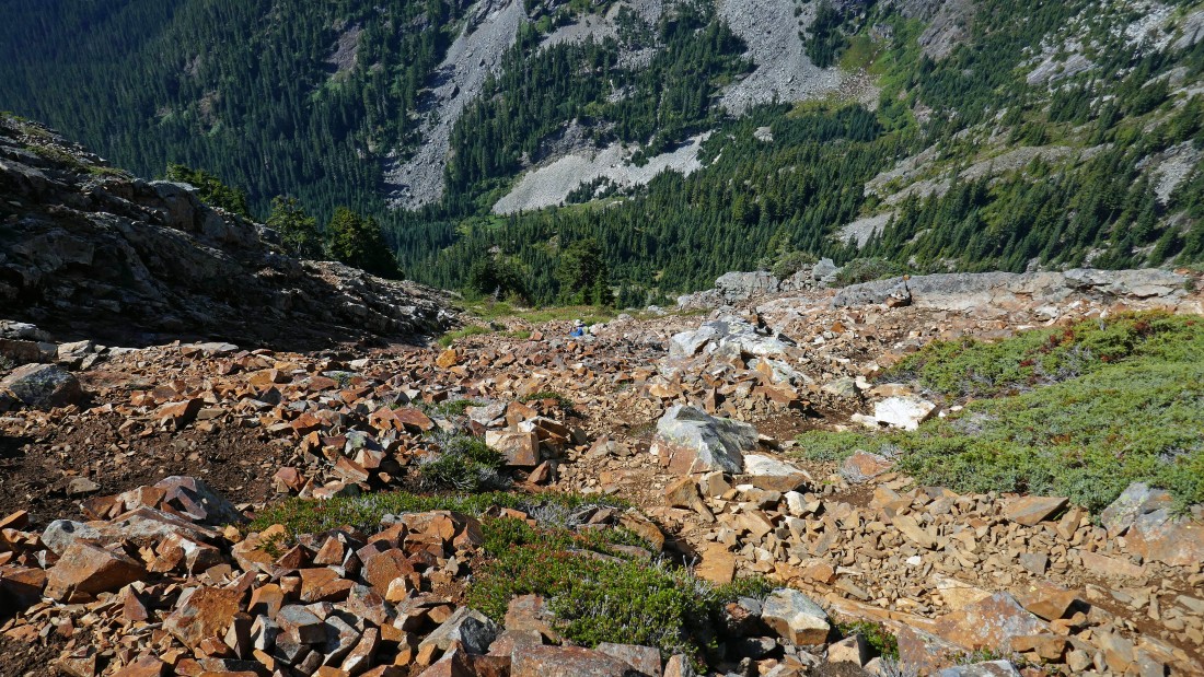
After hiking a total of 3.3 miles we have rejoined the Commonwealth Basin Trail... here we are looking up at the Red summit... time to trace our steps back down the trail and find a good place to head cross country for the Kendall Katwalk.
|
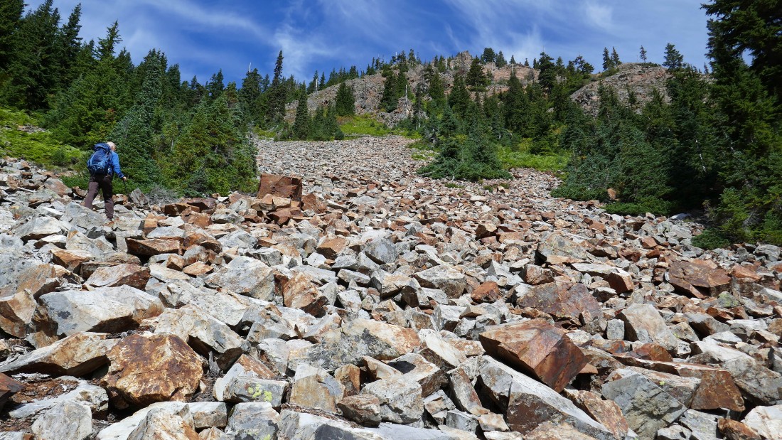
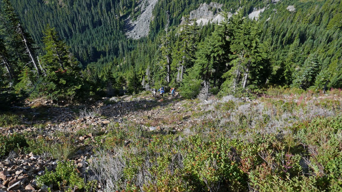
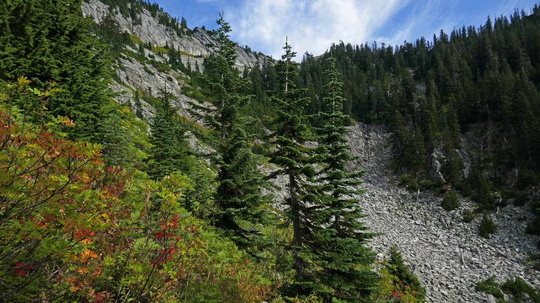
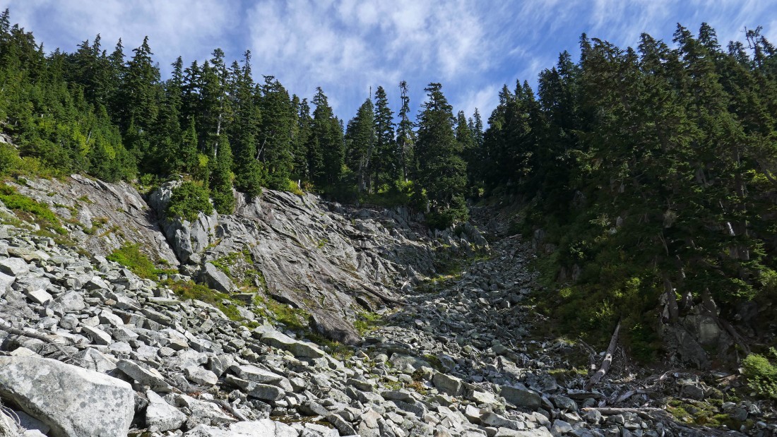
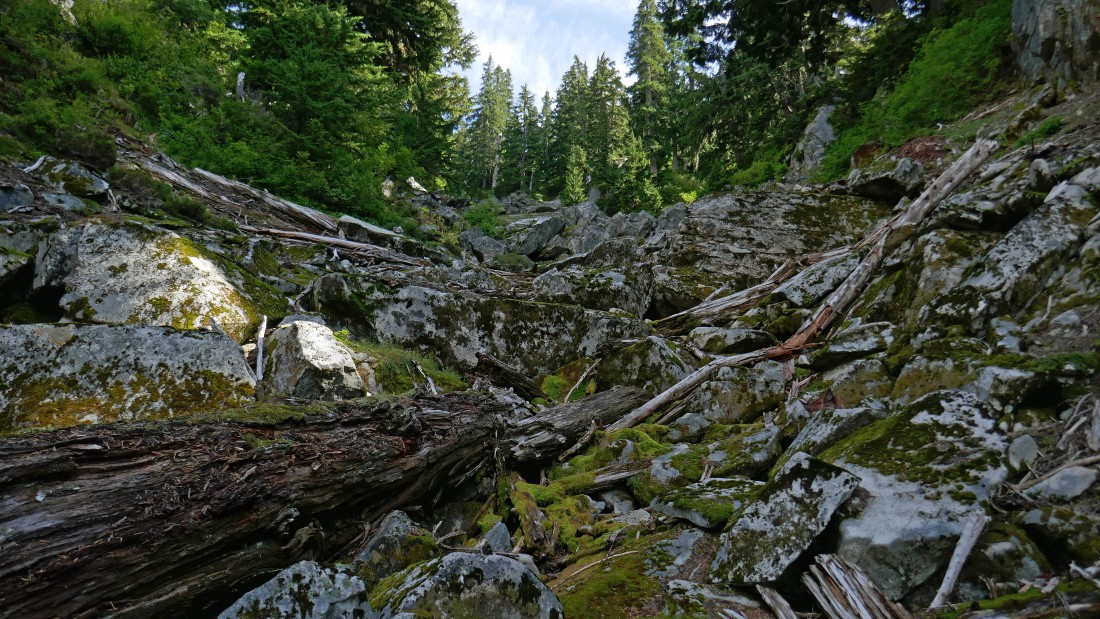
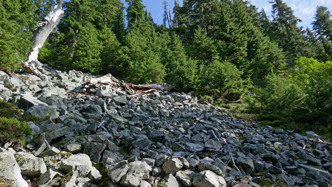
We hiked back down the Commonwealth Basin Trail for a quarter-mile and started bushwhacking our way toward the Kendall Katwalk... here puzzlr leads us across a boulder field.
|
rodman on the cross country route to the Kendall Katwalk.
|
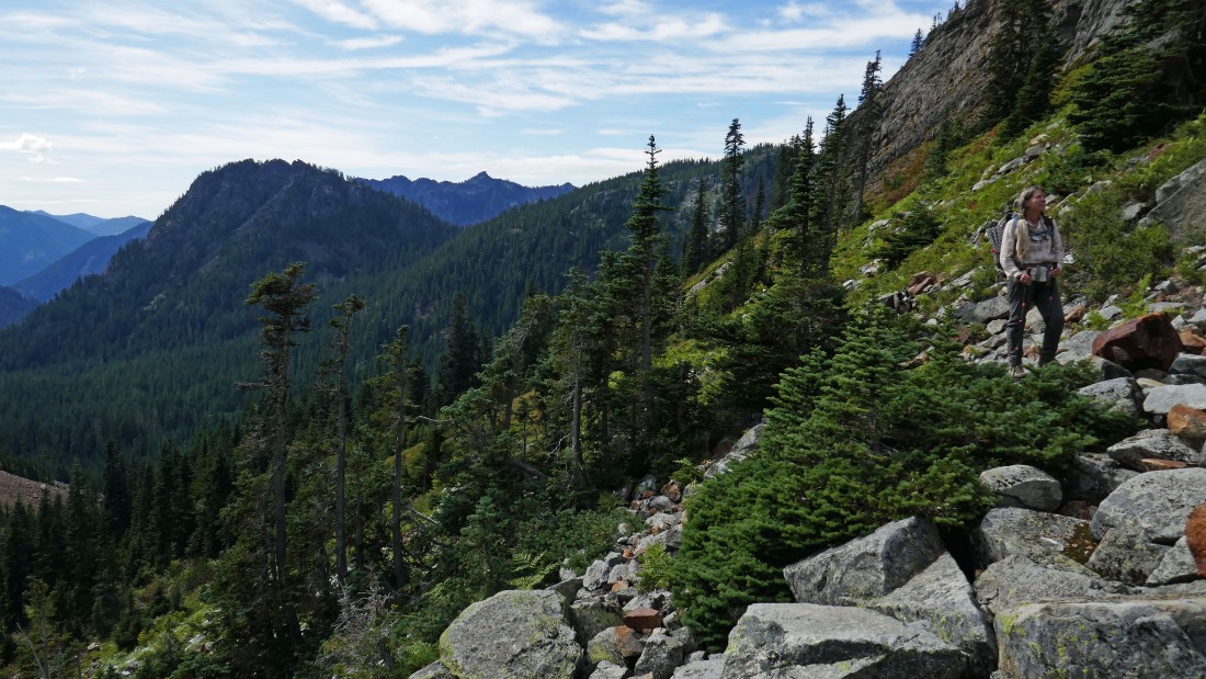
Looking over at Kendall Peak as we head cross country for the catwalk.
|
Puzzlr and Izzy lead the way toward the catwalk.
|
Looking back at BarbE as she works our cross country route... Guye Peak on the left.
|
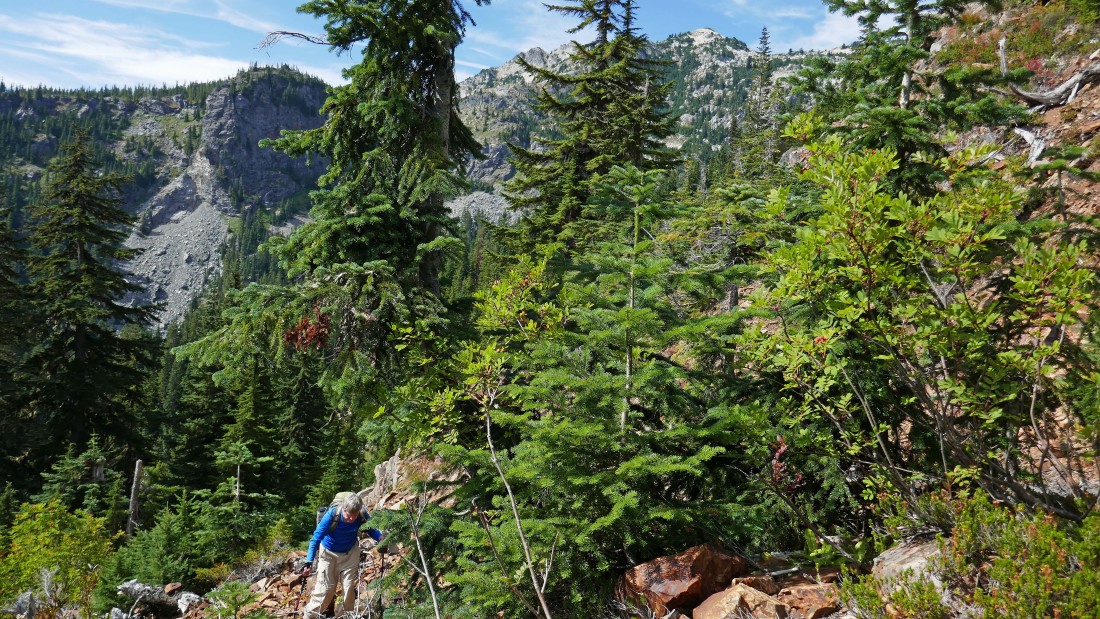
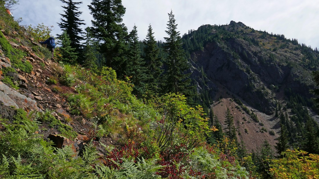
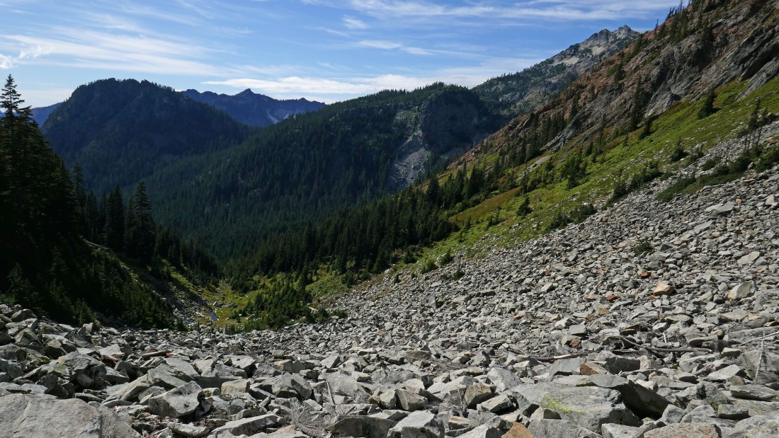
We have been traversing since leaving the Commonwealth Basin Trail... but now we are going to have to gain 700 feet of elevation to get up to the PCT.
|
Snowdog starts to gain elevation up to the Kendall Katwalk.
|
Heading up this gully.
|
Looking back as I gain elevation up toward the PCT.
|
Working the gully... I will have to deal with a lot of brush over the last 300 feet of elevation gain up to the PCT.
|
Almost on the PCT.
|
After hiking a total of 4.5 miles (1 mile was cross country)... I am back on a trail... looking out at Snoqualmie Mountain on the left and Red Mountain in the foreground.
|
I'm on the PCT and heading for Snoqualmie Pass in the distance.
|
After hiking a half-mile on the PCT (a total of 5 miles) I have found the obvious path that leads up to the summit of Kendall Peak.
|
On the path leading up to the summit of Kendall Peak.
|
|
On the summit (5784') of Kendall Peak... here looking north... Snoqualmie Mountain and Red Mountain on the left.
|
Looking south from the summit of Kendall Peak... time to trace my steps back on the path that will get me back to the PCT.
|

Losing elevation on the PCT... here looking up at Kendall Peak.
|
After hiking a total of 8.4 miles I have reached the spot where a short connector trail will take me down to the Commonwealth Basin Trail where I can close the loop portion of the trip.
|
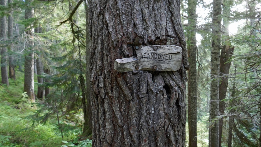
After hiking the short connector trail I have reached the Commonwealth Basin Trail... which I will follow 1.4 miles back to the car... the sign says 'abandoned', but the trail is in pretty good shape... the trip was a total of 9.9 miles, gaining 4365 feet of elevation.
|
