Superstition Peak and The Flatiron - 10.10.2019
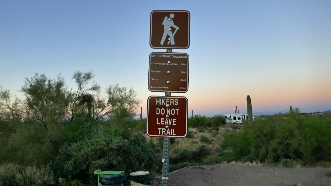
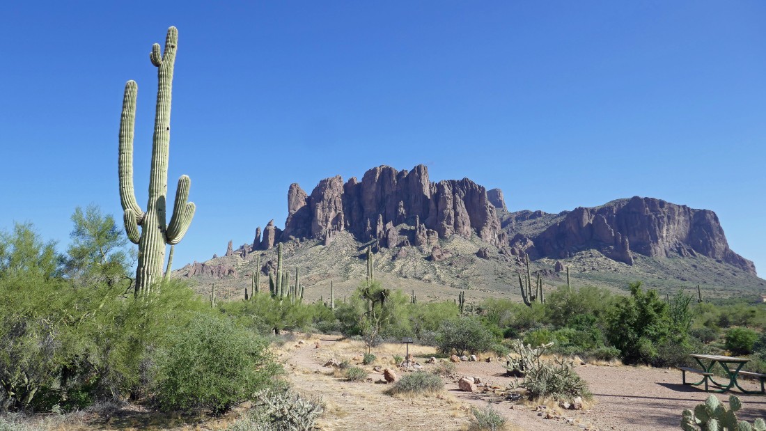
This hike begins on the Siphon Draw Trail... located in the Lost Dutchman State Park near Phoenix, Arizona.
|
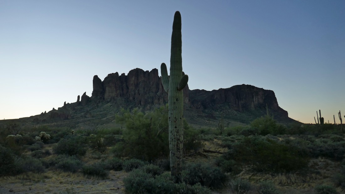
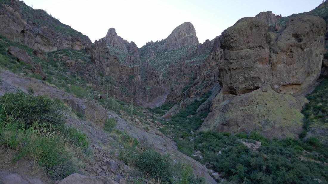
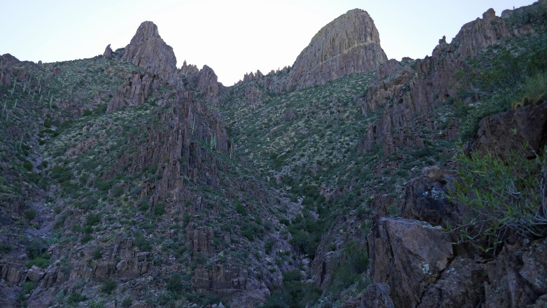
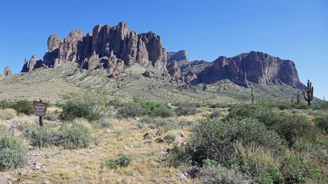
The Siphon Draw Trail will take us up the draw in the distance... just to the right of the Saguaro Cactus in the photo.
|
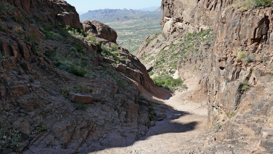
Heading up the Siphon Draw Trail... here looking back at the Goldfield Mountains on the horizon.
|
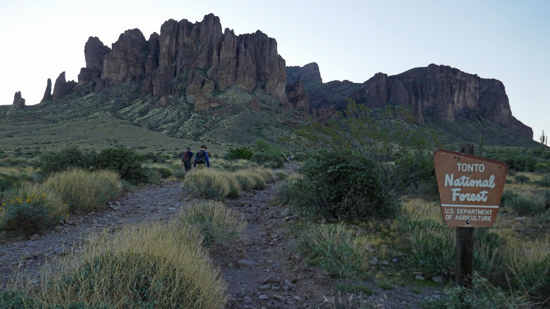
The Superstition Mountains are located in the Superstition Wilderness which is located in the Tonto National Forest.
|
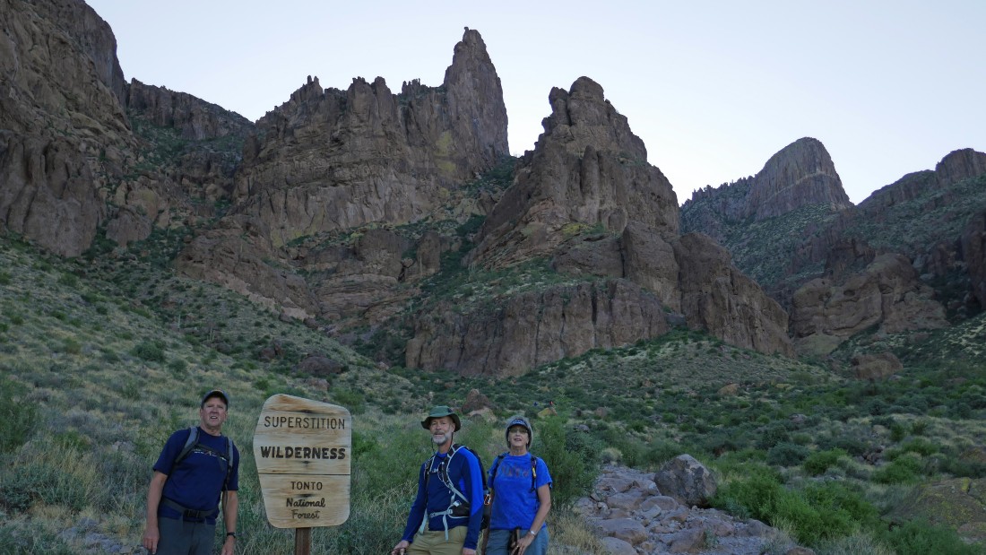
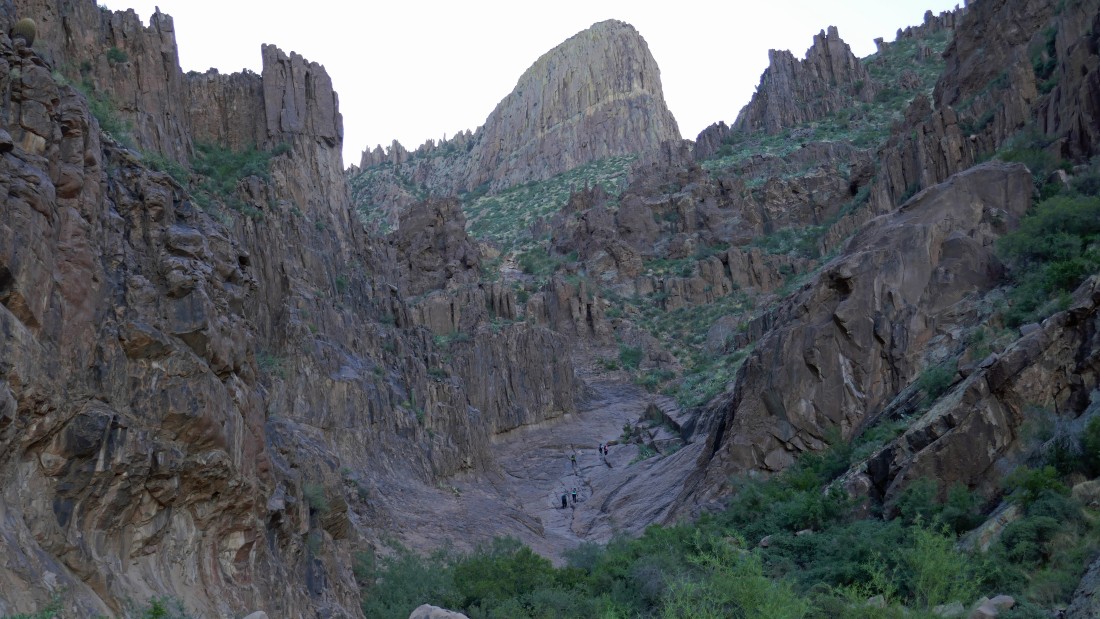
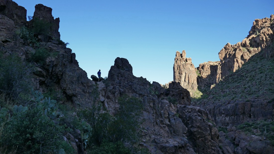
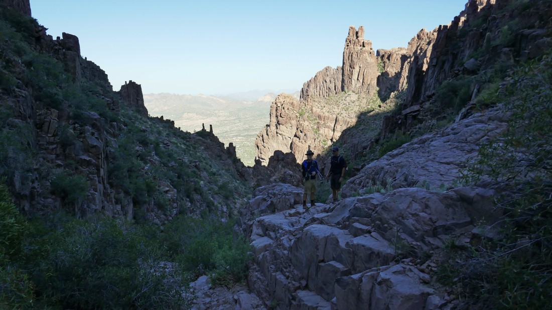
Kerry, Doug and Denali Girl are hiking with me today... The Flatiron is up the draw on the right.
|

Heading for The Flatiron in the center of the photo.
|
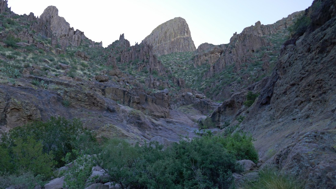
Continuing up Siphon Draw... with The Flatiron above.
|
Continuing up Siphon Draw... with The Flatiron above.
|
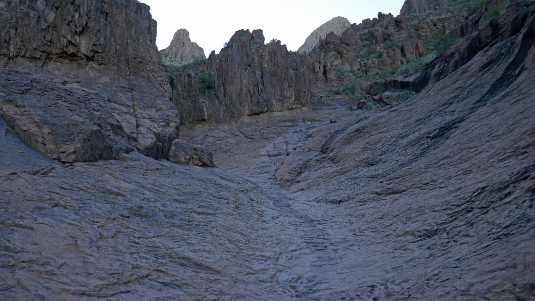
Continuing up Siphon Draw... with The Flatiron above.
|
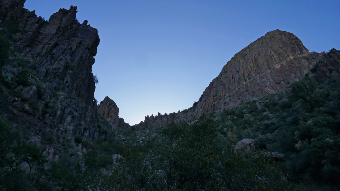
Continuing up Siphon Draw.
|
Continuing up Siphon Draw... with The Flatiron above.
|
Continuing up Siphon Draw... with The Flatiron above.
|
Continuing up Siphon Draw.
|
Continuing up Siphon Draw... looking back down the draw to the Goldfield Mountains.
|
Continuing up Siphon Draw... with The Flatiron above on the right.
|
Denali Girl says she has had enough of this hike and will meet us back at the car.
|
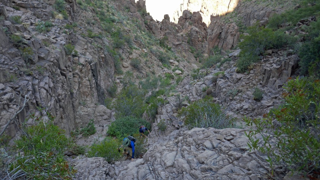
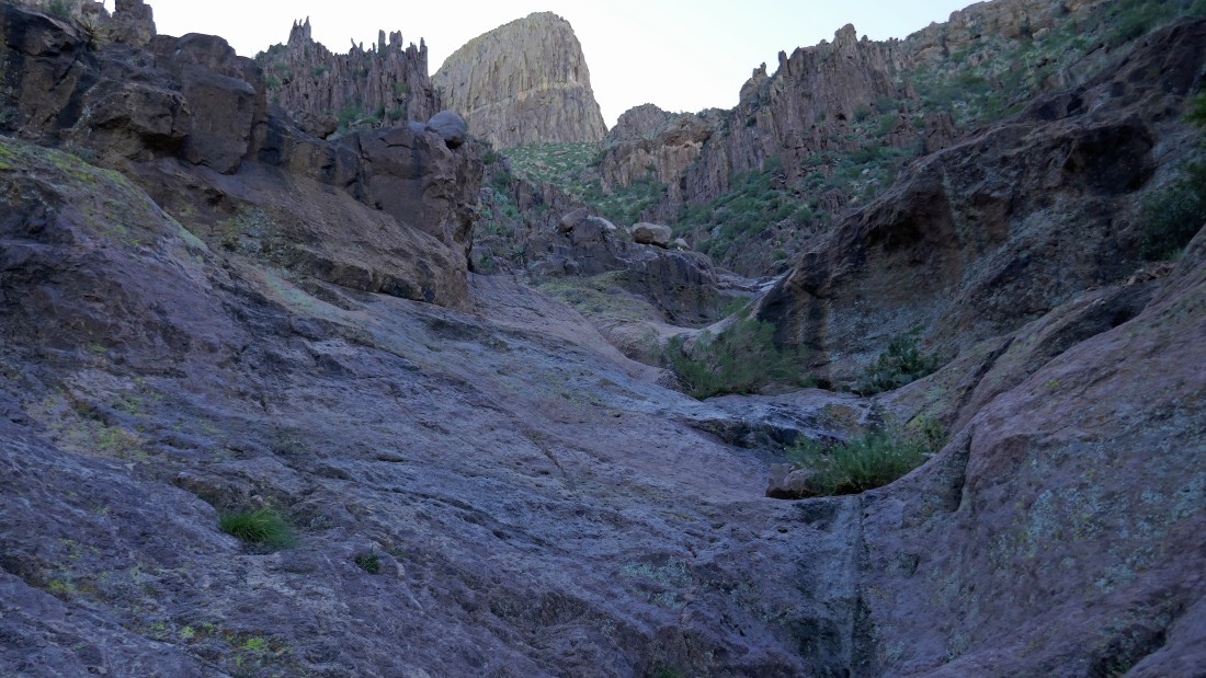
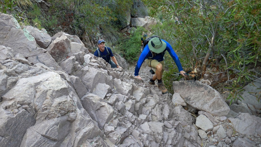
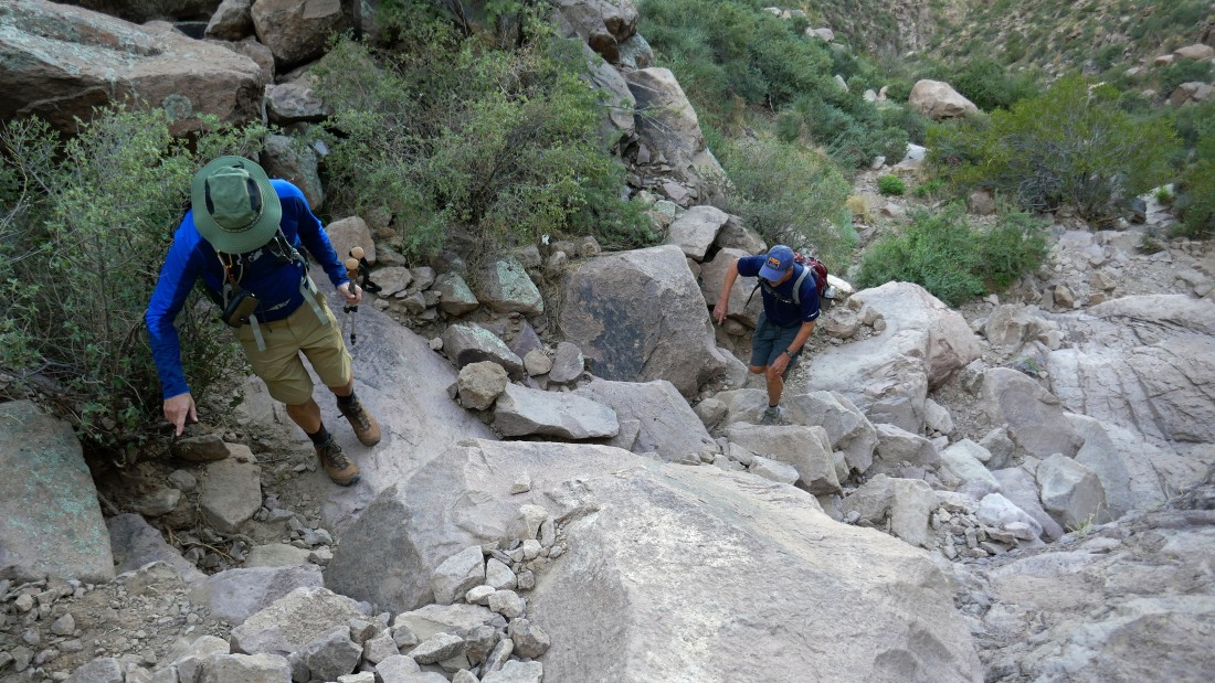
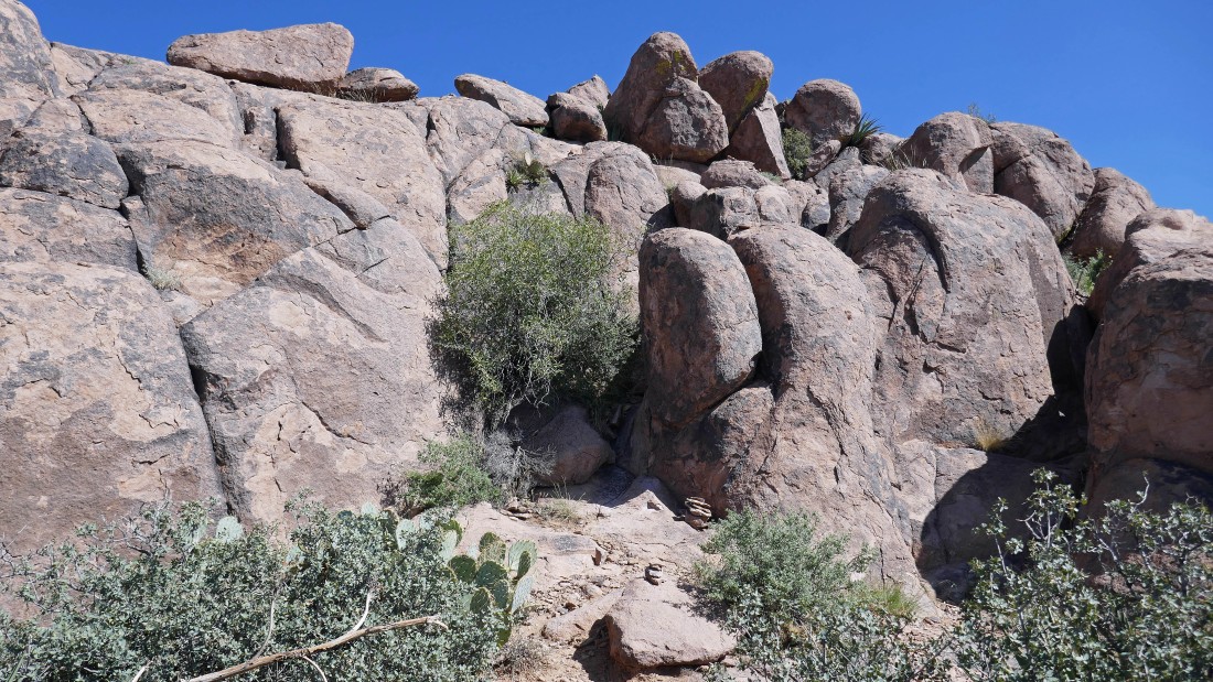
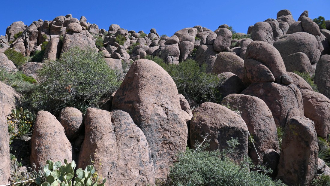
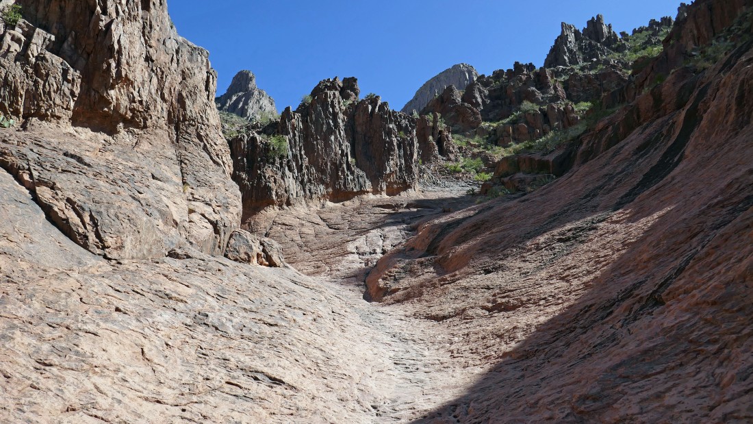
The terrain starts to get steeper and more rugged as we continue up the draw.
|
Looking back down Siphon Draw as we continue up.
|
Continuing up Siphon Draw... with The Flatiron above.
|
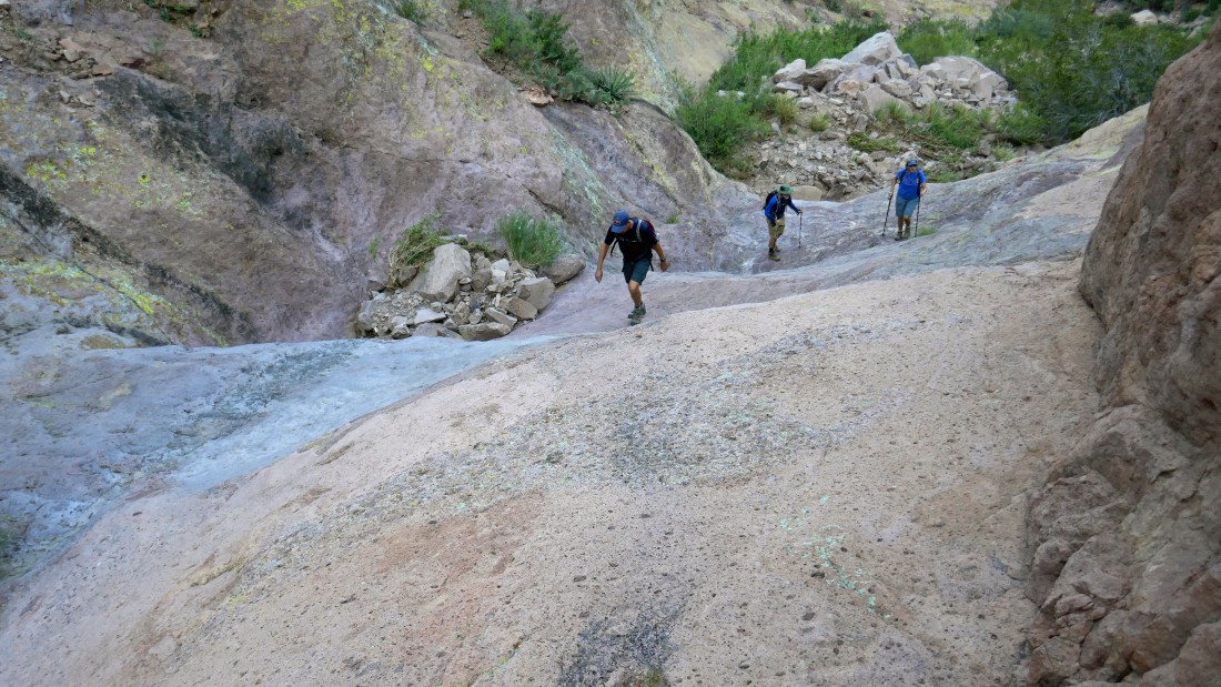
Doug and Kerry are starting to wonder what I am getting them into... and I don't blame them.
|
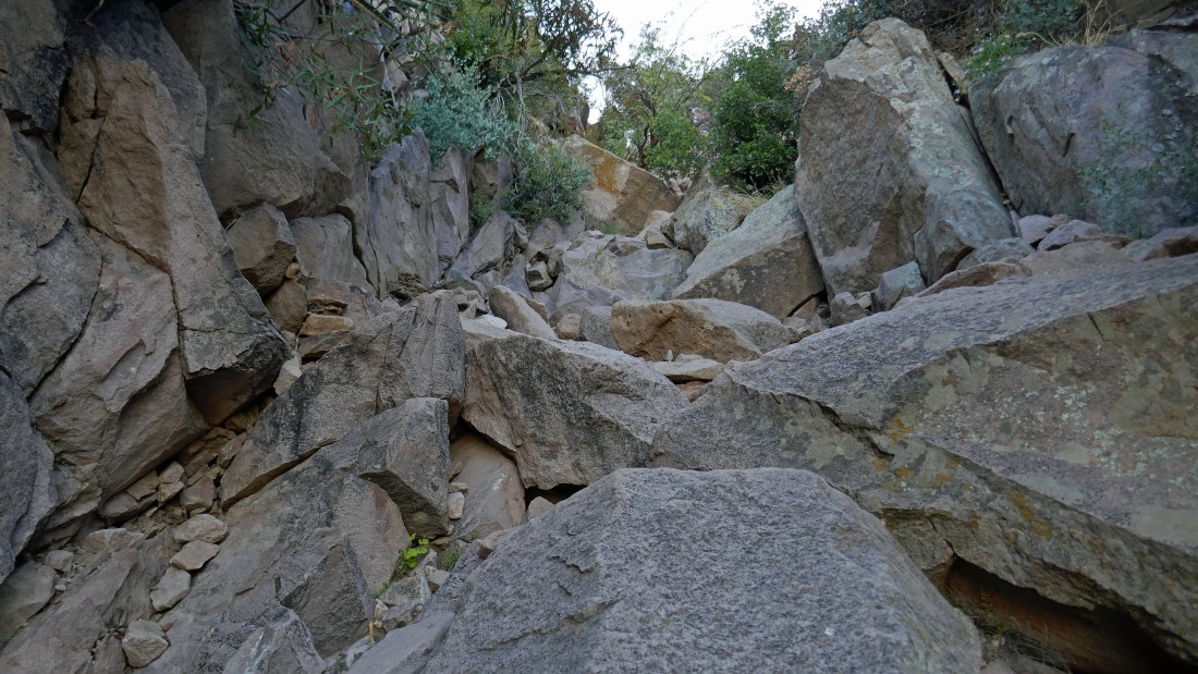
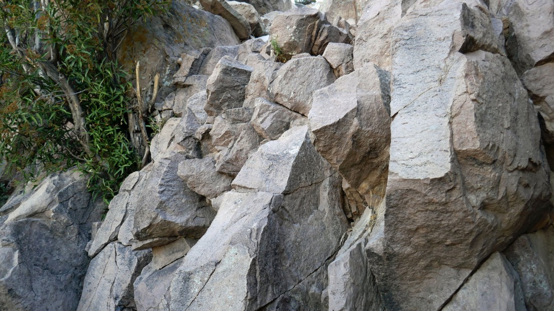
Rugged terrain.
|
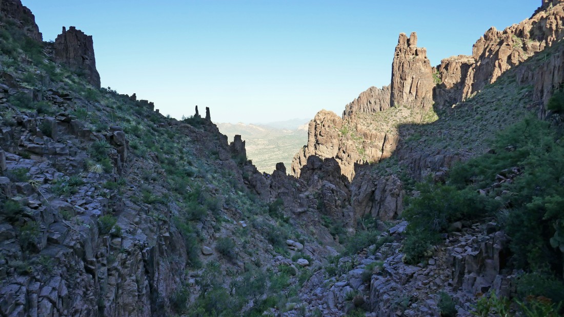
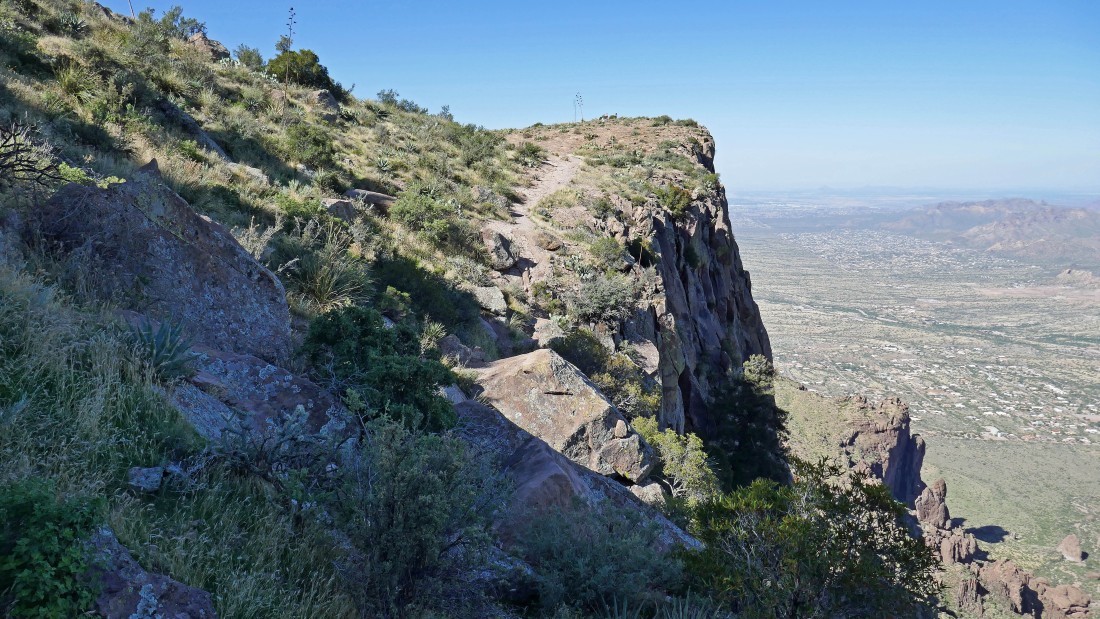
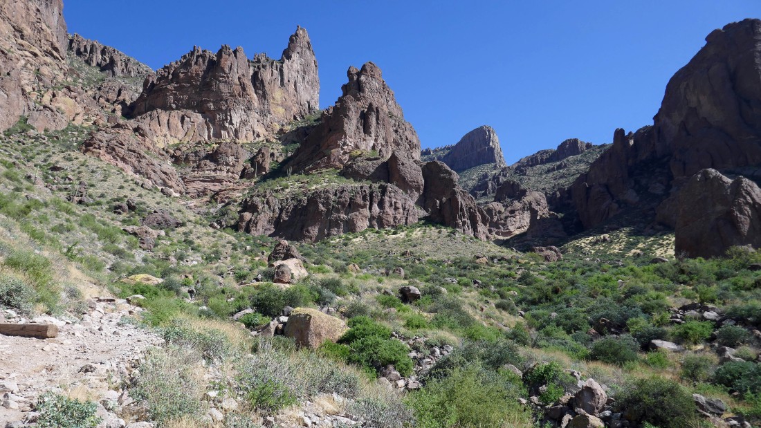
Getting closer to The Flatiron... the route will take us up to the low point in the center of the photo.
|
Continuing up Siphon Draw... with The Flatiron above.
|
Rugged terrain.
|
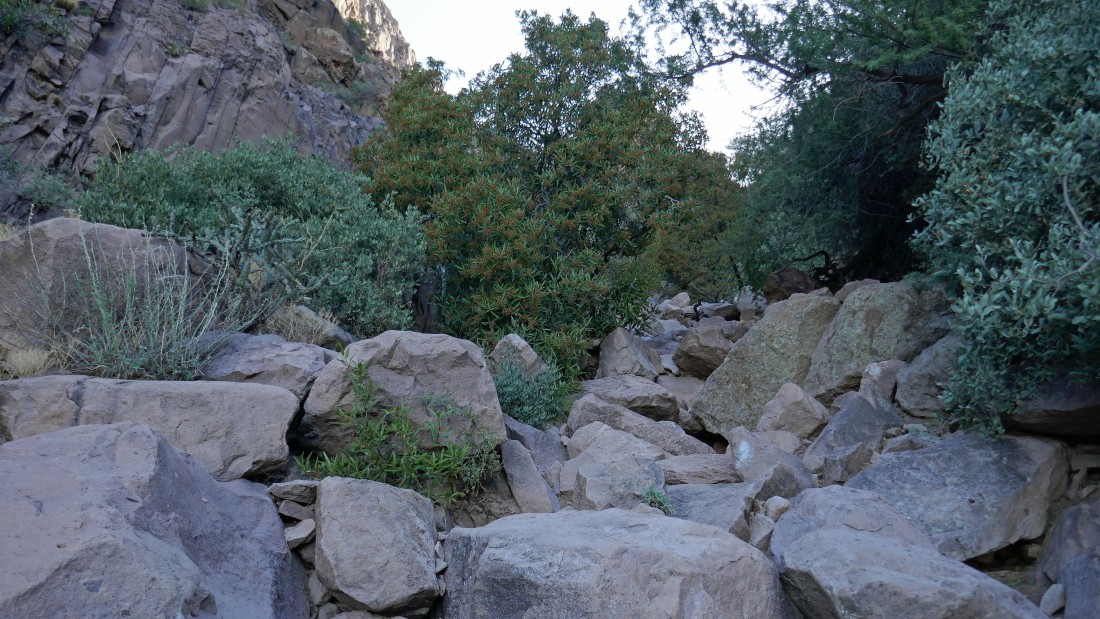
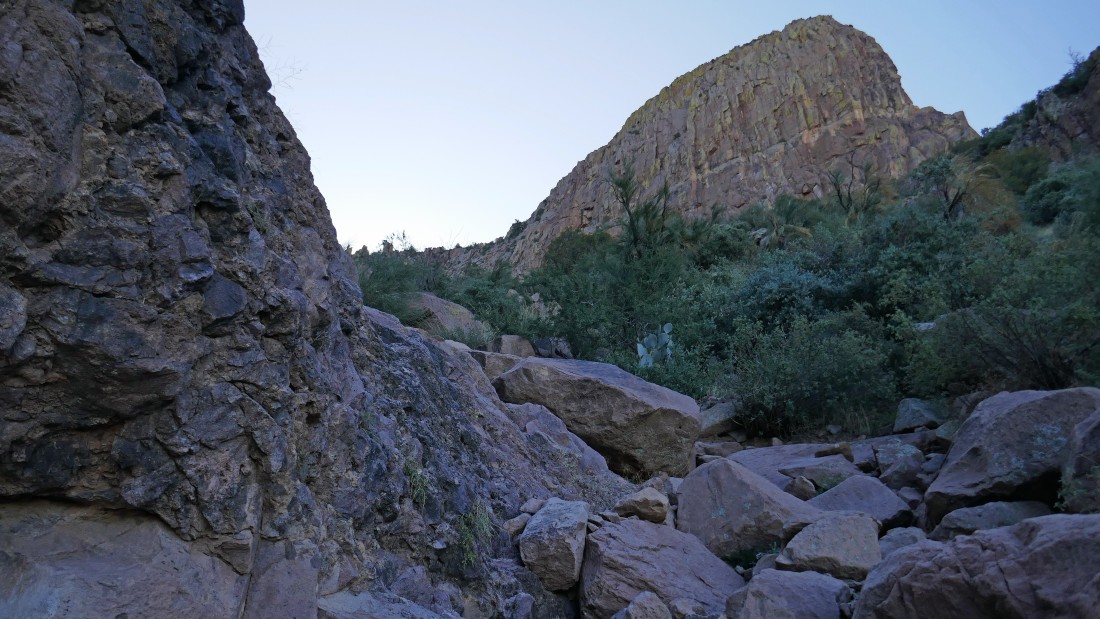
Continuing up Siphon Draw.
|
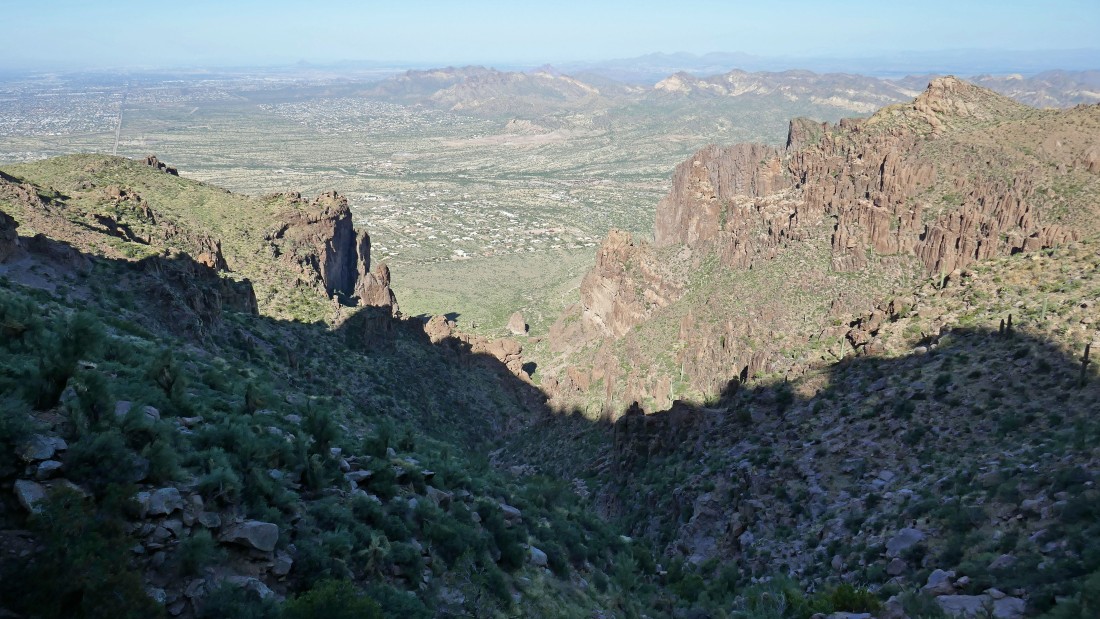
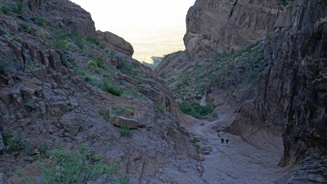
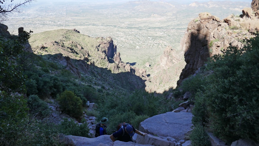
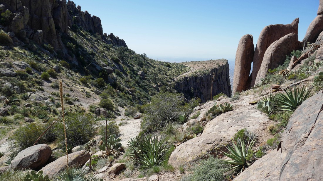
Gaining elevation and looking back down Siphon Draw to the town of Apache Junction and the Goldfield Mountains.
|
Looking back down Siphon Draw.
|
Looking back down Siphon Draw.
|
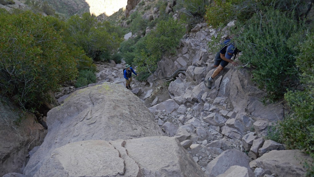
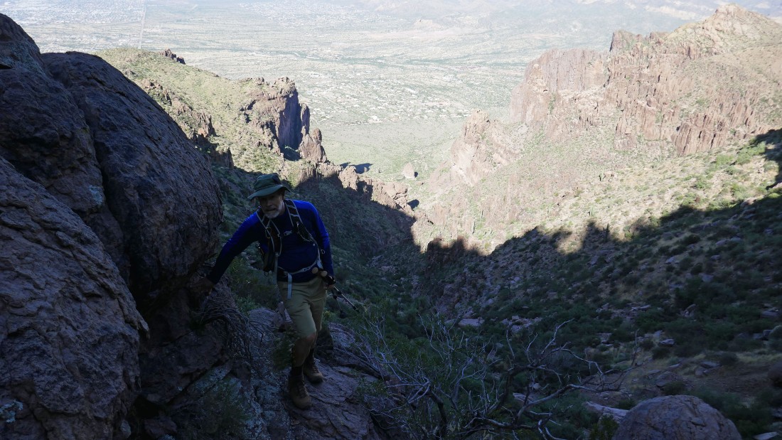
Still gaining elevation on rugged terrain.
|
Continuing up Siphon Draw.
|
Continuing up Siphon Draw.
|
We are high enough now to see the top of The Flatiron in the left foreground.
|
Heading out to The Flatiron.
|
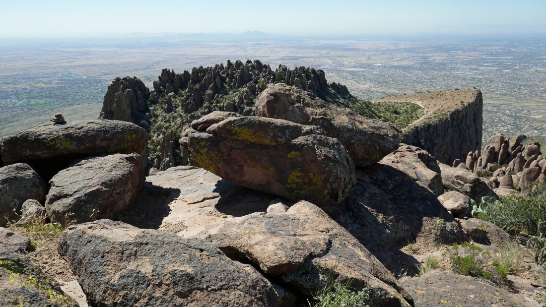
Nearing the top of The Flatiron... not exactly flat, but close to flat.
|
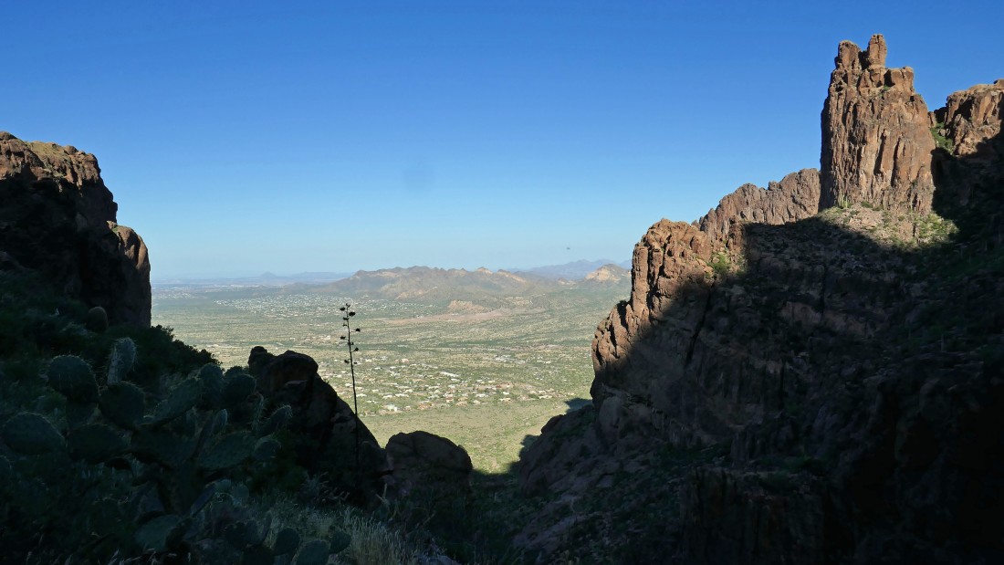
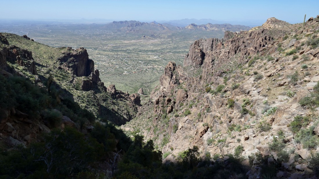
Looking west from The Flatiron back down Siphon Draw to the town of Apache Junction and Phoenix.
|
|
Doug and Kerry on top of The Flatiron (~4700 feet)... here looking east to Point 4861 in the right-center foreground and Superstition Peak (5024') in the left-center foreground.
|
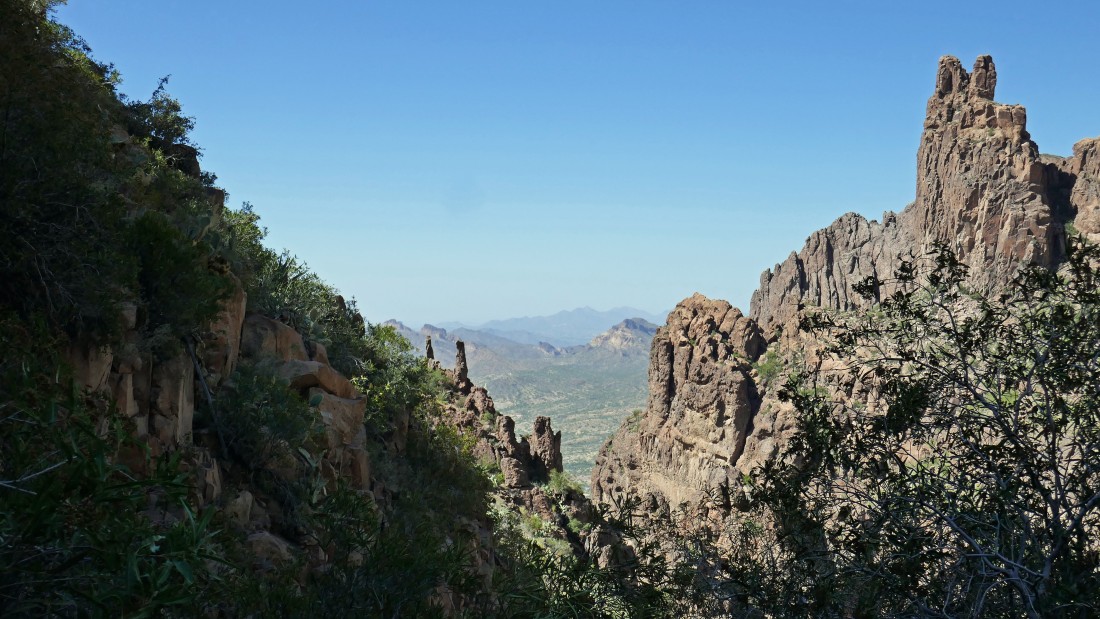
I have separated from Doug and Kerry and headed for Superstition Peak... here looking back at The Flatiron in the center of the photo.
|
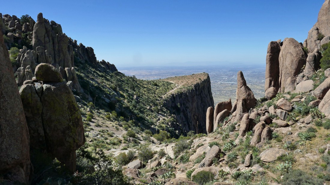
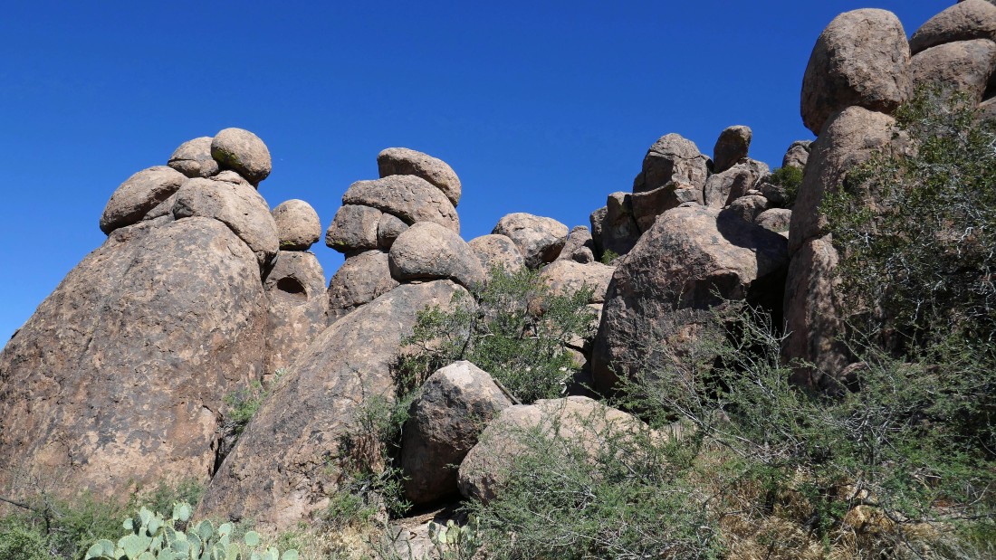
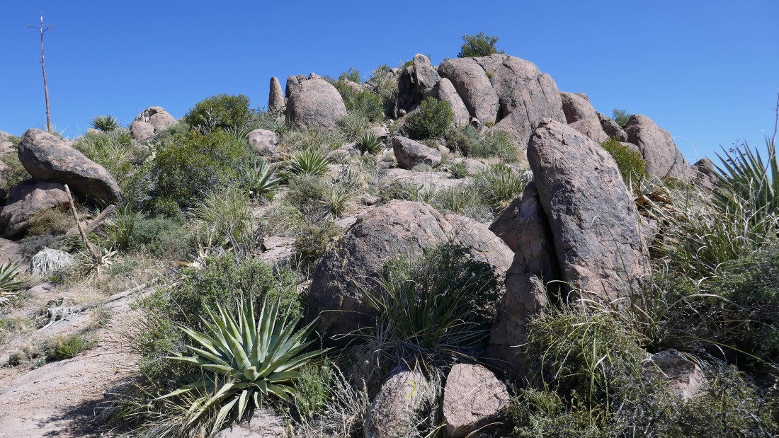
Working my way up to Superstition Peak... passing by lots of hoodoos... Point 4861 is in the distance on the left.
|
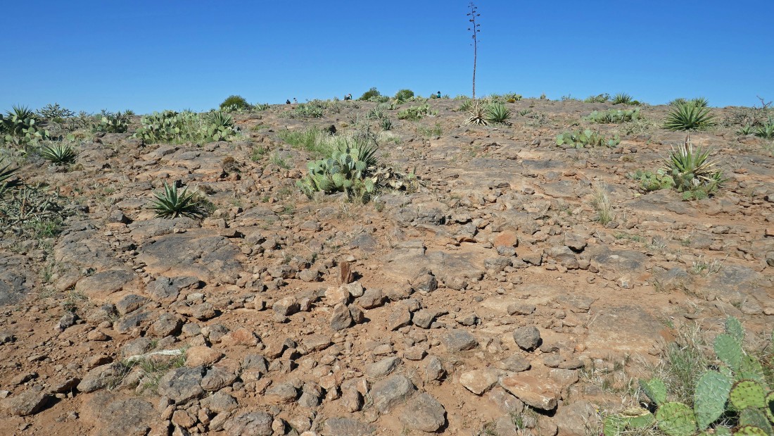
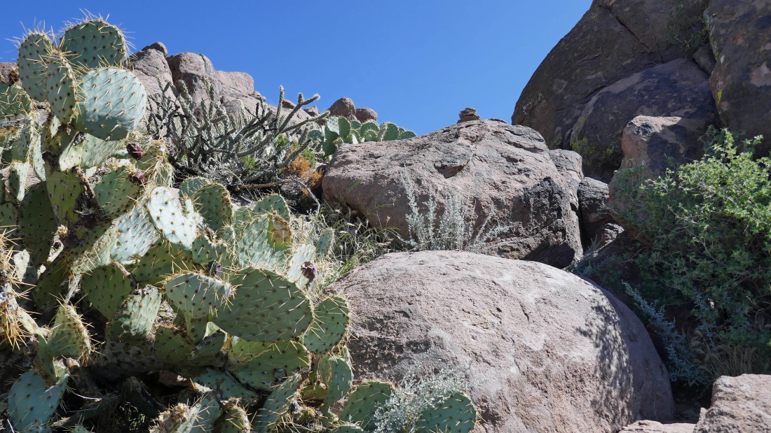
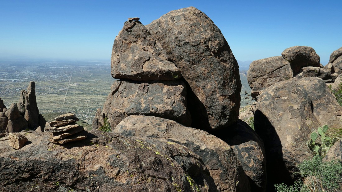
Gaining elevation in search of the Superstition Peak summit... an occasional carin helps... but most people who do The Flatiron do not come up any higher.
|
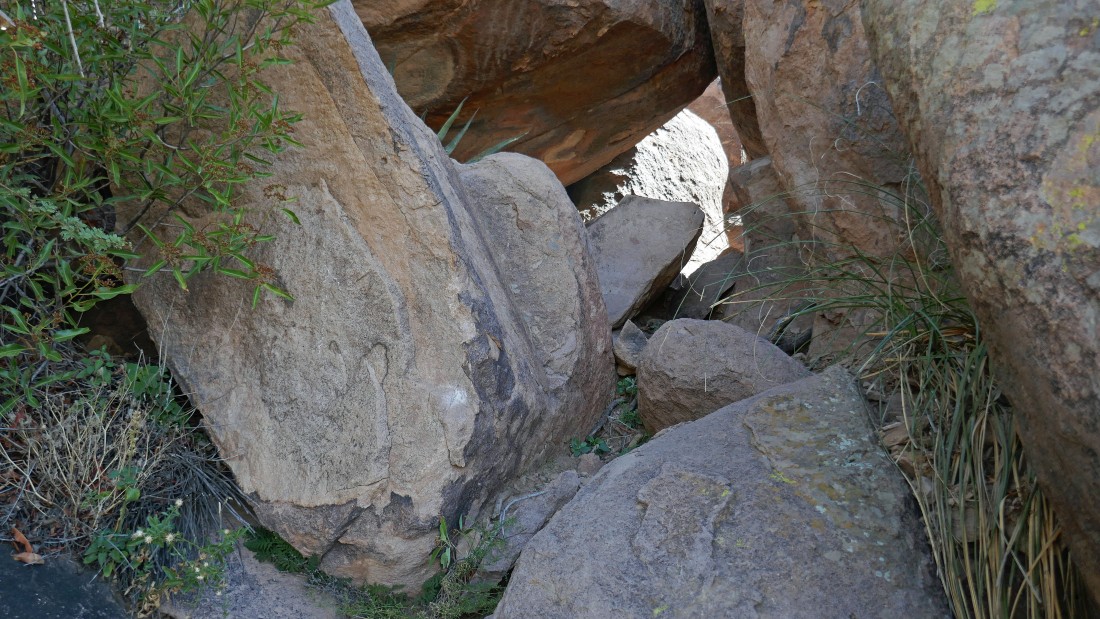
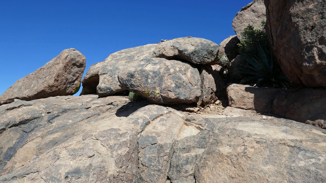
Going through a rock tunnel on my way to the summit of Superstition Peak.
|
|
Gaining elevation and looking back at The Flatiron.
|
A cairn shows me the way.
|
Still searching for the summit.
|
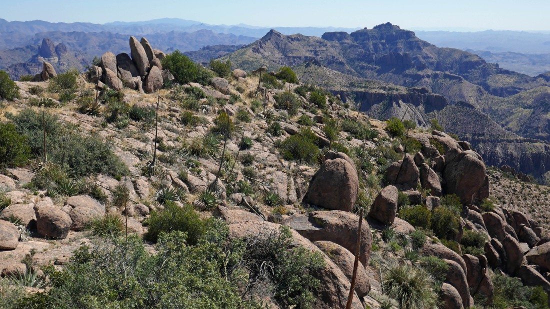
Gaining elevation and looking over at the Superstition Benchmark (5057')... the high point in the Superstition Wilderness.
|
Still scrambling up in search of the summit of Superstition Peak.
|
Ah ha... at last I can see the summit and the terrain looks like it is easing a bit.
|
On the Superstition Peak summit (5024')... 33 feet lower than the Superstition Benchmark in the distance on the right... I think I'll head over a very short distance to see if I can get a better view.
|
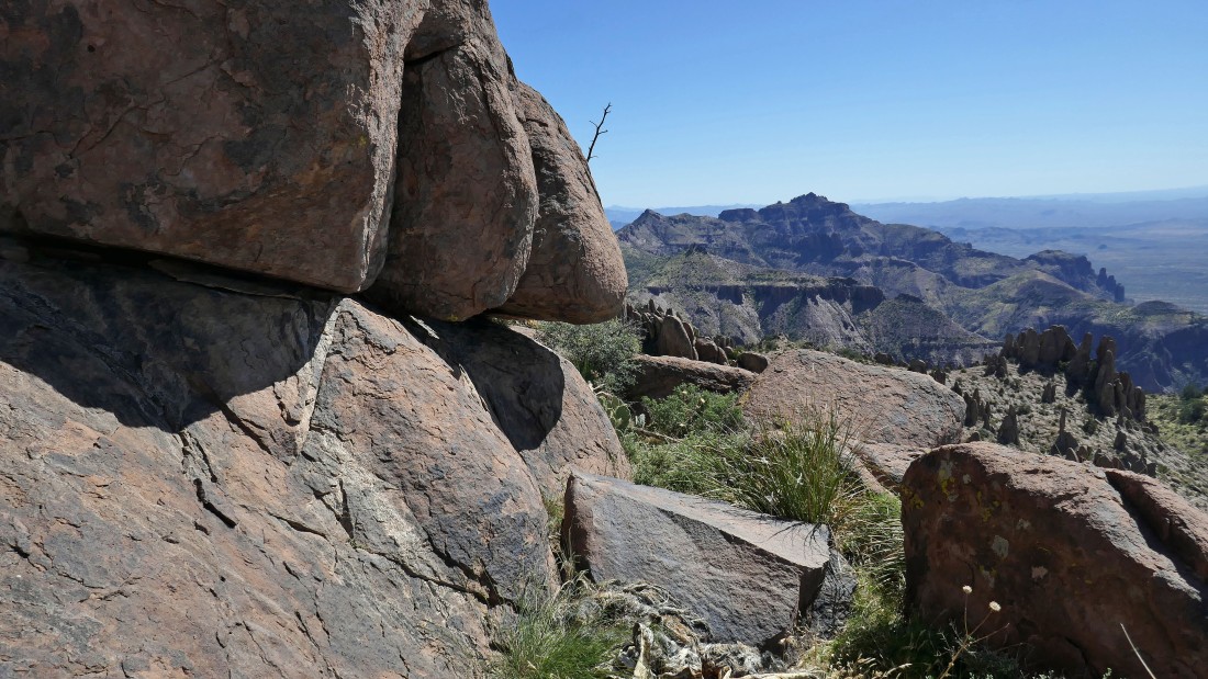
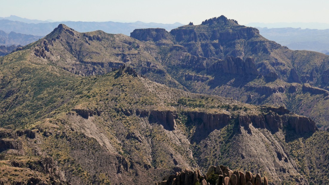
Looking SW toward Point 4861 (center of photo) and The Flatiron.
|
A closer look at Point 4790 and the Superstition Benchmark.
|
A pano shot looking east and SE.
|
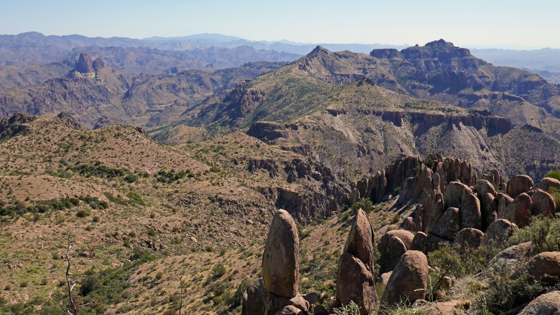
Weavers Needle (left foreground), Point 4790 and Superstition Benchmark.
|
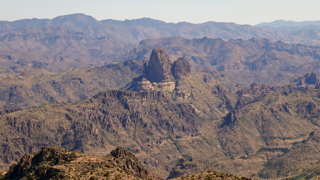
A closer look at Weavers Needle.
|
A closeup of Point 4790 and Superstition Benchmark.
|
Time to head back up to the summit of Superstition Peak... with Point 4861 in the distance on the left.
|
Back on the summit with Point 4861 and The Flatiron beyond.
|
Heading back down to the saddle between The Flatiron and Superstition Peak... cairns will help guide the way.
|
Looking back up at my route down... I have no idea of where the route is.
|
Almost back to the saddle between The Flatiron and Superstition Peak.
|
Heading back down Siphon Draw.
|
Tracing my steps back down Siphon Draw.
|
Tracing my steps back down Siphon Draw.
|
Tracing my steps back down Siphon Draw and looking back up at The Flatiron.
|
Tracing my steps back down Siphon Draw and lookig back up at The Flatiron.
|
Out of the draw and looking back.
|
Almost back at the car... the total hike/scramble was 6.8 miles, gaining 2947 feet of elevation... rumor has it that the last mile up to The Flatiron gains 2000 feet of elevation... and I believe the rumor.
|
